The best gravel rides around Gillersdorf
4.3
(48)
198
riders
20
rides
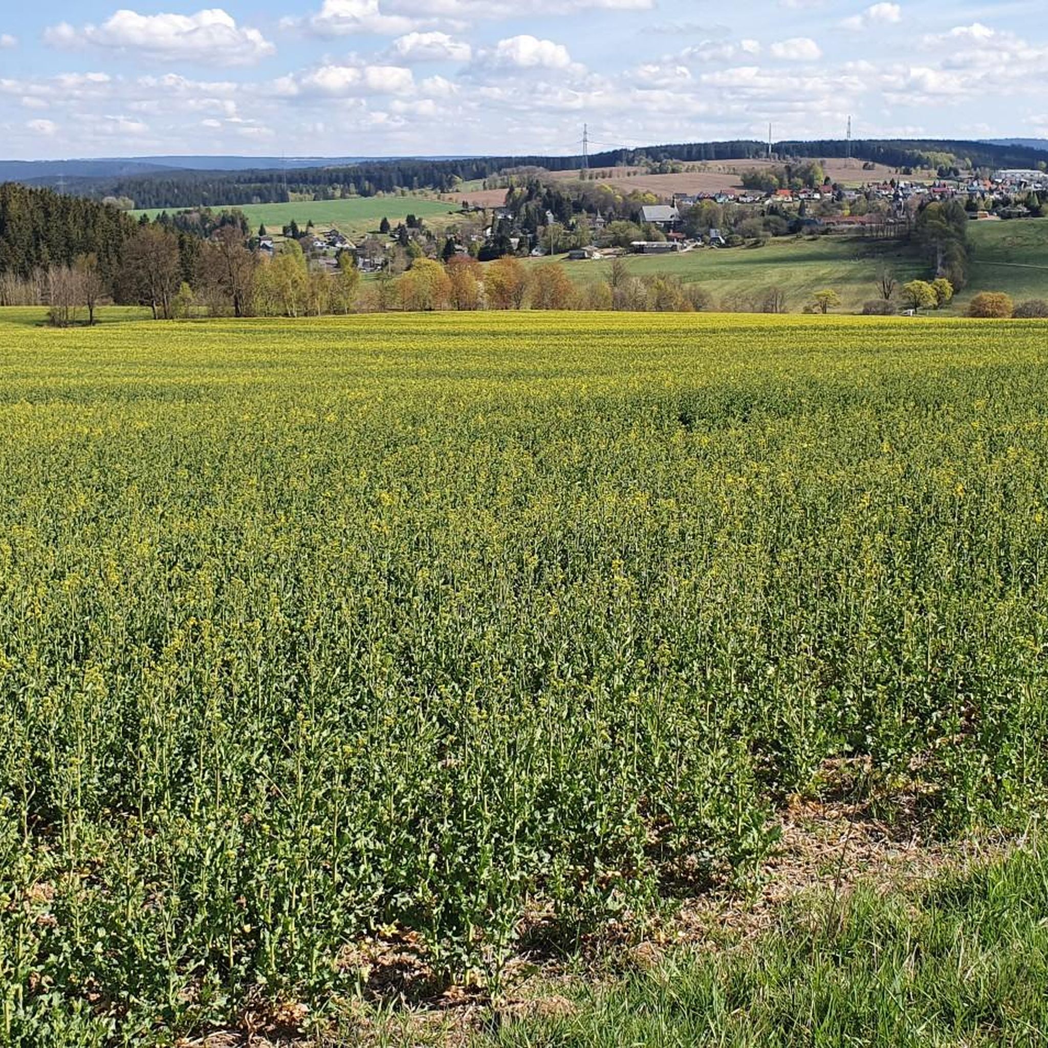
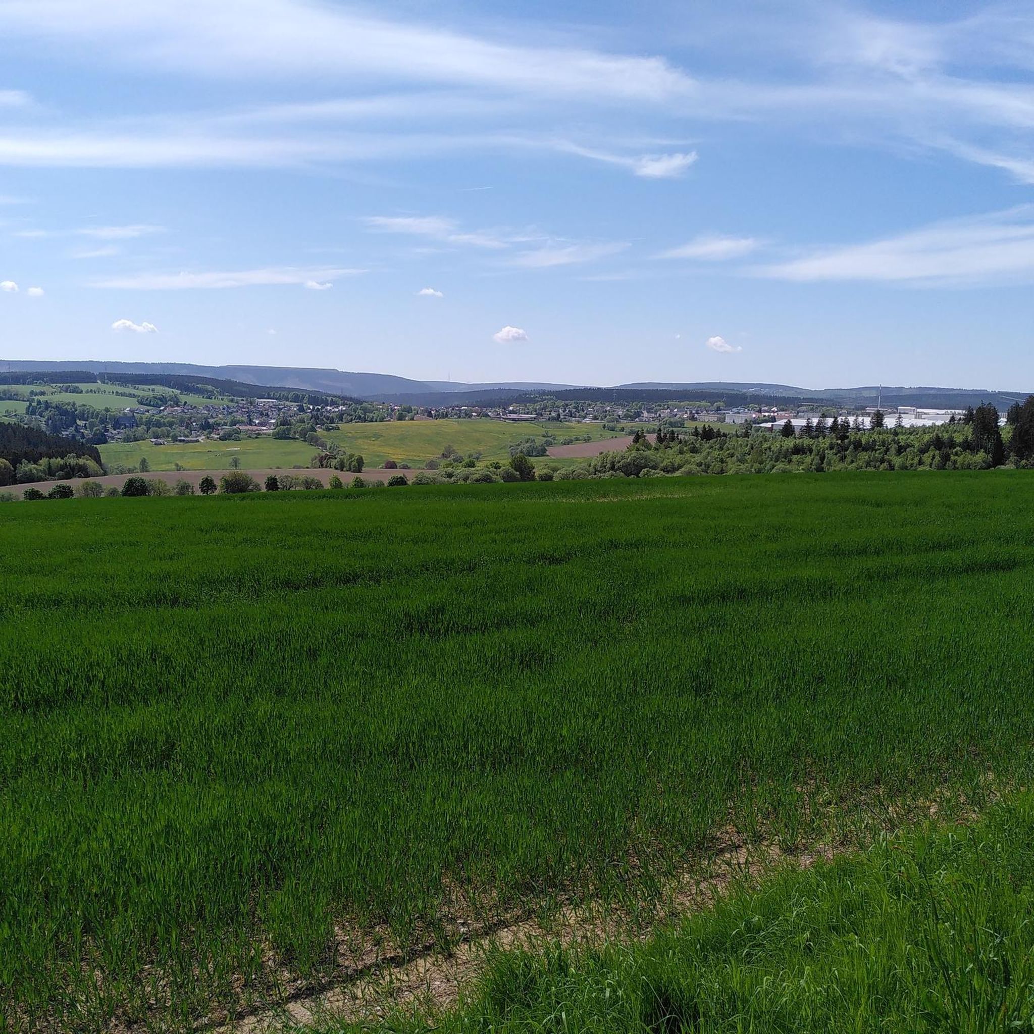
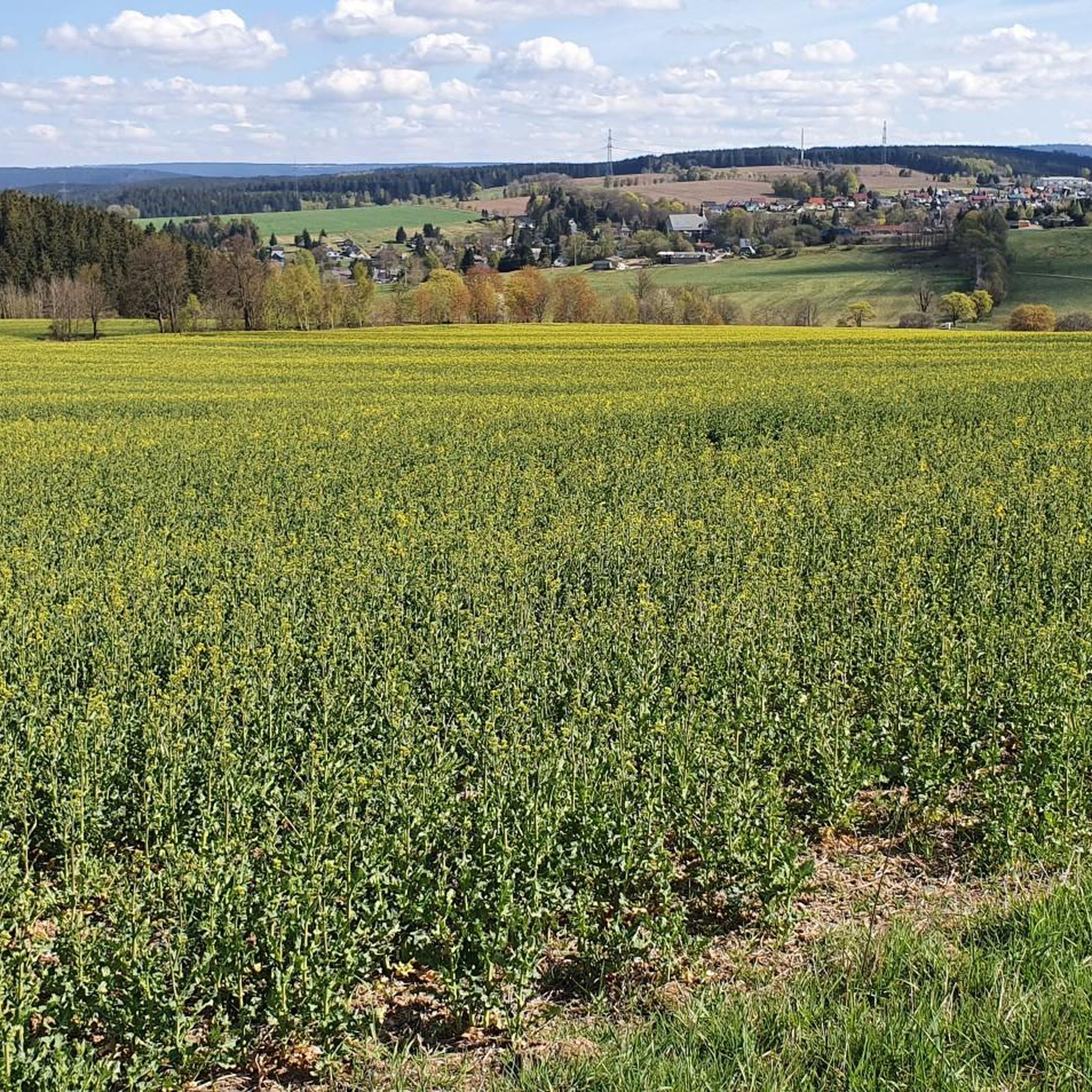
Gravel biking around Gillersdorf offers a diverse landscape within the Thuringian Forest, characterized by rolling hills and varied terrain. The region features dense woodlands, scenic valleys, and river paths, providing a mix of firm forest roads and unpaved segments. These natural features create dynamic routes with elevation changes, making the area well-suited for gravel bikes.
Best gravel bike trails around Gillersdorf
- The most popular gravel bike trail is Pennewitz Airfield – View of Gräfinau-Angstedt loop from Königsee, a 21.5…
Last updated: July 16, 2026
4.4
(16)
43
riders
34.6km
01:56
300m
300m
Moderate gravel ride. Good fitness required. Mostly paved surfaces. Suitable for all skill levels.
3.6
(5)
24
riders
Hard gravel ride. Very good fitness required. You may need to push your bike for some segments of this route.

Sign up for free
4.5
(4)
28
riders
49.3km
02:52
640m
640m
Hard gravel ride. Very good fitness required. Mostly paved surfaces. Suitable for all skill levels.
3.5
(2)
8
riders
68.7km
04:14
1,020m
1,020m
Hard gravel ride. Very good fitness required. Mostly paved surfaces. Suitable for all skill levels.
4.4
(8)
9
riders
41.6km
02:20
340m
340m
Moderate gravel ride. Good fitness required. Mostly paved surfaces. Suitable for all skill levels.
Get access to more routes and recommendations from other explorers.
Sign up for free
Already have an account?
Our route recommendations are based on thousands of hikes, rides, and runs completed by other people on komoot.
Start today with a free account
Your next adventure awaits.
Login or Signup
Tips from the Community

Relaxing for young and old and a joy for children
0
0

A beautiful, easily passable cycle path with some rest stops. 👍
0
0

The Greifenstein is always beautiful to look at.
0
0
The Rinnetal cycle path comes highly recommended; it's quiet and free from traffic. 😄
1
0

It's a great place for hiking.
0
0

Large intersection with many small roads.
1
0

Comfortable pass ride with moderate gradients.
0
0
Comfortable pass ride, the gradient is kept well within limits.
0
0
Frequently Asked Questions
Are there easy gravel bike trails suitable for beginners in Gillersdorf?
Yes, Gillersdorf offers a few easy gravel bike trails. These routes typically feature less elevation gain and smoother paths, making them ideal for those new to gravel biking or looking for a relaxed ride. While specific easy routes are not detailed in the provided data, you can find options that cater to a gentler pace.
What are some challenging gravel bike routes for experienced riders in Gillersdorf?
For experienced gravel bikers seeking a challenge, Gillersdorf has several difficult routes with substantial elevation changes. One such demanding route is the Schwarzburg Castle loop from Altenfeld, which covers 47.2 miles (76.0 km) and features nearly 1000 meters of ascent. Another difficult option is the Höllteich – Ilmtal Cycle Path Near Ilmenau loop from Paulinzella, spanning 37.6 miles (60.5 km) with over 700 meters of climbing.
Are there any circular gravel bike routes around Gillersdorf?
Many of the gravel bike trails in Gillersdorf are designed as loops, allowing you to start and finish at the same point. For example, the Rennsteig Station – Oberhof loop from Dreiherrenstein is a 48.6 km circular route that offers a significant challenge with over 600 meters of elevation gain.
What kind of scenic viewpoints can I expect on gravel bike trails in Gillersdorf?
Gillersdorf's gravel bike trails often lead to picturesque viewpoints. You can find stunning vistas such as the Shepherds' Meadow or the Meuselbacher Kuppe Observation Tower and Guesthouse. The View of Greifenstein Castle – Rinnetal Cycle Path loop from Königsee also offers scenic views along its 41.6 km path.
What is the best time of year for gravel biking in Gillersdorf?
The diverse landscape of Gillersdorf, with its rolling hills and forested paths, is enjoyable across multiple seasons. While specific recommendations depend on personal preference, spring and autumn generally offer pleasant temperatures and vibrant scenery. Summer provides longer daylight hours, and winter can offer unique experiences, though some trails might be affected by snow or ice.
Are there any places to explore or historical sites along the gravel bike routes?
Yes, many gravel bike routes in Gillersdorf pass by interesting landmarks and historical sites. The Schwarzburg Castle loop from Altenfeld, for instance, is known for passing historical landmarks. You might also encounter sites like the Triniusstein Memorial or the Lichtenhain mountain station of the Thuringian mountain railroad.
What do other gravel bikers say about the trails in Gillersdorf?
The gravel biking routes in Gillersdorf are highly regarded by the komoot community, holding an average rating of 4.4 stars from over 60 reviews. Many riders praise the varied terrain, which includes rolling hills, forested sections, and river valleys, catering to different skill levels and offering a rich exploration experience.
Are there any gravel bike trails in Gillersdorf that are suitable for families?
While the guide highlights routes with significant elevation, Gillersdorf's network includes options for various ability levels. Families might look for routes described as 'easy' or 'moderate' with less challenging climbs and smoother surfaces. It's advisable to check individual route details for specific suitability for younger riders or those preferring a more leisurely pace.
How long do gravel bike trails near Gillersdorf typically take to complete?
The duration of gravel bike trails in Gillersdorf varies significantly based on distance, elevation, and your riding pace. For example, a moderate route like Pennewitz Airfield – View of Gräfinau-Angstedt loop from Königsee (34.6 km) can take around 1 hour 56 minutes, while a difficult 76.0 km route could take over 5 hours.
Are there any huts or places to rest along the gravel bike trails in Gillersdorf?
Yes, you can find huts and rest stops along some of the trails. Notable spots include the Bob Hut, the Großer Dreiherrenstein Forest Lodge, and the Herb hut (Kräuterhütte). These can be good places for a break or to refuel during your ride.
What is the typical elevation gain on gravel bike routes in Gillersdorf?
Gillersdorf's gravel bike routes are characterized by rolling hills, leading to varied elevation gains. You can expect anything from moderate climbs of around 300 meters on shorter routes to significant ascents nearing 1000 meters on more challenging, longer trails, such as the Schwarzburg Castle loop from Altenfeld.
Most popular routes around Gillersdorf
Most popular attractions around Gillersdorf

Get inspired with the komoot mobile app


Explore more
Browse the best Gravel rides in other regions.
