The best gravel rides around Wiesbach
4.7
(38)
147
riders
29
rides
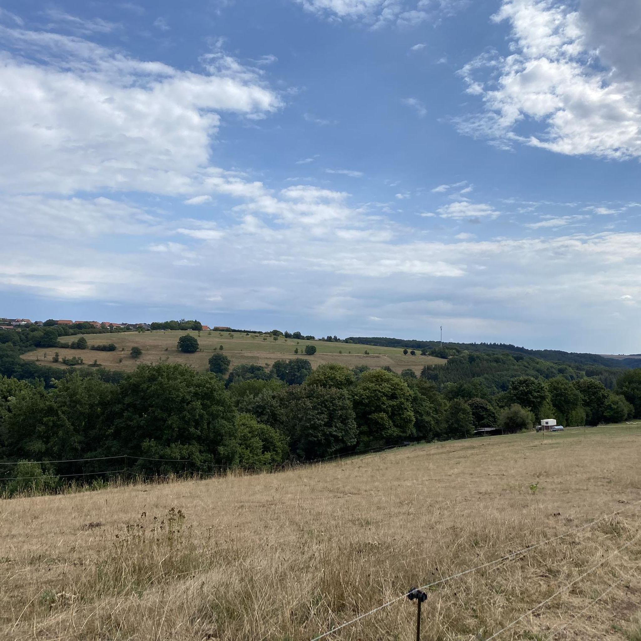
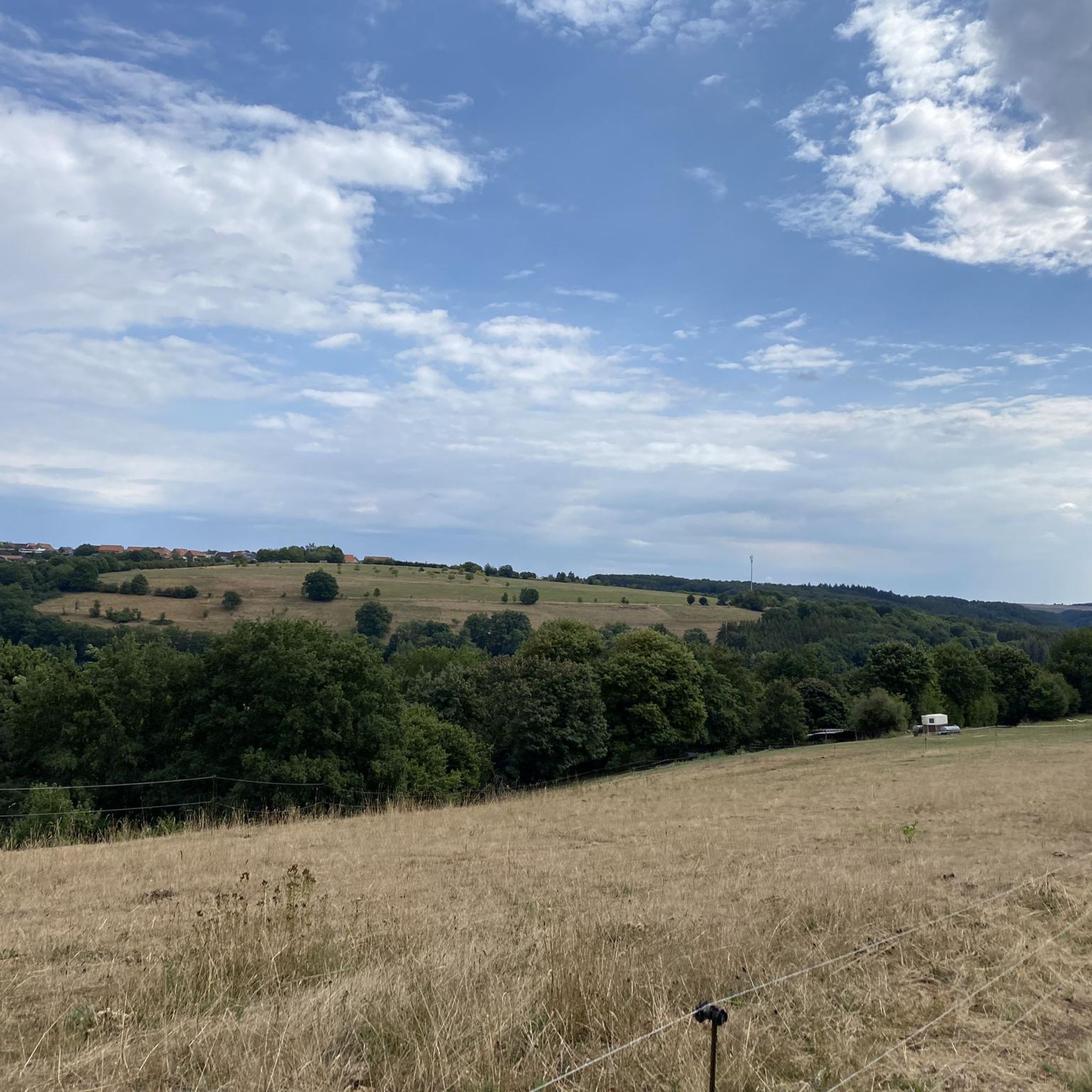
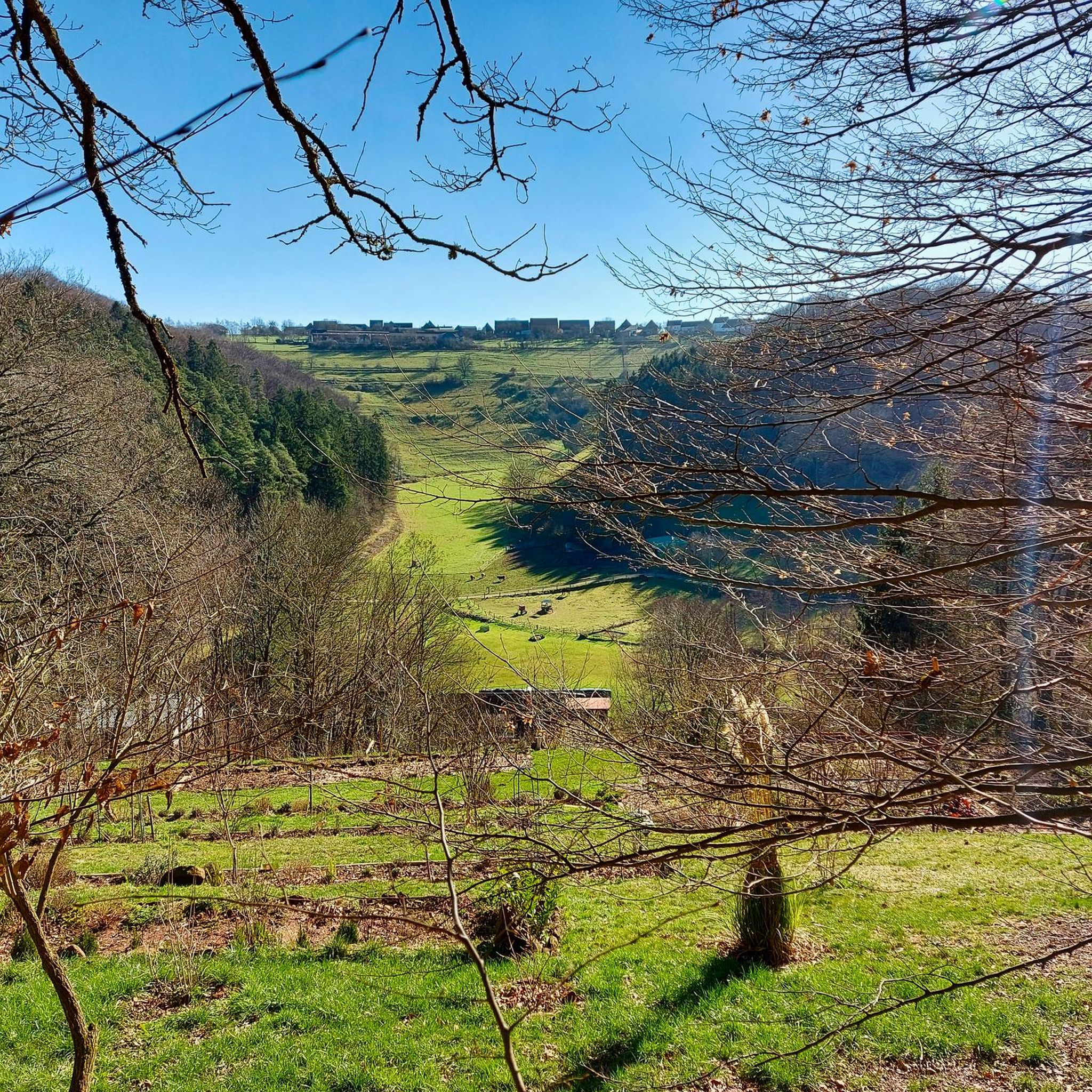
Gravel biking around Wiesbach offers a diverse landscape characterized by a mix of natural features and varied terrain. The region features routes that combine paved and unpaved surfaces, with elevations up to 1500 feet (457 m). Riders can explore green forests, mill valleys, and scenic water bodies like Ohmbach Lake, providing a blend of flowing trails and challenging segments. This area in Southwest Palatinate provides a varied environment for exploration on two wheels.
Best gravel bike trails around Wiesbach
- The most popular gravel bike trail is Lake Ohmbach – Ohmbach Lake loop from Bruchmühlbach-Miesau, a 20.4 miles (32.9 km) trail that takes 1 hour 48 minutes to complete. This moderate route offers scenic views around Ohmbach Lake.
- Another top favourite among local gravel bikers is Beeder Bruch Nature Reserve – Gollenstein Monolith loop from Homburg (Saar) Hauptbahnhof, a moderate 25.0 miles (40.3 km) path. This route explores natural reserves and historical monoliths.
- Local gravel bikers also love the Gallows Hill Near Schönenberg – Former Glan Valley Railway Track loop from Homburg (Saar) Hauptbahnhof, a 24.6 miles (39.5 km) trail leading through sections of the historic Glan Valley Railway Track, often completed in about 2 hours 5 minutes.
- Gravel biking around Wiesbach is defined by the Lambsbach Valley, the Palatinate Forest, and vineyards. The network offers options for easy, moderate, and difficult routes, catering to different ability levels.
- The routes in Wiesbach are highly rated by the komoot community with an average score of 4.5 stars from over 36 reviews. More than 147 gravel bikers have used komoot to explore Wiesbach's varied terrain.
Last updated: July 2, 2026
4.6
(14)
46
riders
32.8km
01:47
160m
160m
Moderate gravel ride. Good fitness required. Mostly paved surfaces. Suitable for all skill levels.
5.0
(3)
15
riders
Moderate gravel ride. Good fitness required. Mostly paved surfaces. Suitable for all skill levels.

Sign up for free
4.4
(9)
39
riders
Hard gravel ride. Good fitness required. You may need to push your bike for some segments of this route.
4.0
(1)
12
riders
44.7km
02:38
440m
450m
Moderate gravel ride. Good fitness required. Mostly paved surfaces. Suitable for all skill levels.
5.0
(1)
11
riders
Easy gravel ride. Great for any fitness level. Mostly paved surfaces. Suitable for all skill levels.
Get access to more routes and recommendations from other explorers.
Sign up for free
Already have an account?
Our route recommendations are based on thousands of hikes, rides, and runs completed by other people on komoot.
Start today with a free account
Your next adventure awaits.
Login or Signup
Tips from the Community

The Glan-Blies cycle path through the Bliestal meadows is one of the most beautiful sections of the route.
0
0

A scenically beautiful cycle path (Glan-Blies-Weg, approx. 130 km) from Forbach in Lorraine to Staudernheim. Hardly any inclines, almost entirely paved, only finely gravelled between Homburg-Bruchhof and Glan-Münchweiler.
0
0

Bliestal Cycle Superhighway. Still beautiful
0
0


🚲 The Glan-Blies Cycle Path is one of the most beautiful and popular cycling routes in the region. It connects Sarreguemines (Saargemünd) in Lorraine, France, with Staudernheim on the Nahe River in Rhineland-Palatinate, Germany, over a distance of approximately 130 kilometers. Since it largely follows former railway lines, it is almost entirely flat and therefore ideal for families and leisurely cyclists.
1
0
💡 Tour Tip The tunnel is a popular photo spot and offers a welcome respite from the heat on hot summer days. Immediately after the tunnel (heading north), the Glan River makes a picturesque loop that you can easily see from the bike path. The circular route around Lake Ohmbach also branches off nearby, in case you'd like to take a detour for a paddleboat ride or a coffee break. 🔦🚴♂️✨
1
0

Make sure you turn on the lights at night!
0
1

There are beautiful bridges along the cycle path
1
0
Frequently Asked Questions
How many gravel bike trails are available around Wiesbach?
There are over 50 gravel bike routes around Wiesbach, offering a wide range of options for different skill levels. These routes are highly rated by the komoot community, with an average score of 4.6 stars.
What kind of terrain can I expect on gravel bike routes in Wiesbach?
The terrain around Wiesbach is diverse, featuring a mix of paved and unpaved surfaces, which is ideal for gravel biking. You'll encounter green forests, picturesque mill valleys, and scenic water bodies. Some routes include elevations up to 1500 feet, providing both flowing trails and challenging segments.
Are there any family-friendly gravel bike trails in the Wiesbach area?
Yes, Wiesbach offers several family-friendly options. Many routes are moderate in difficulty, suitable for those with some biking experience. While specific 'family-friendly' routes aren't explicitly tagged, the region's diverse network includes easier sections, particularly around scenic areas like Ohmbach Lake. Always check the route details for elevation and surface conditions to ensure it matches your family's ability.
What natural features or landmarks can I see along the gravel bike routes?
Wiesbach's gravel routes often pass through beautiful natural landscapes and near interesting landmarks. You can explore the scenic Lambsbach Valley, ride alongside the Palatinate Forest, and discover water features like Ohmbach Lake. Notable natural attractions nearby include the dramatic Elendsklamm gorge with its cascades and rock formations, and the Small Waterfall and Rocky Overhang. For historical interest, consider routes that pass near the Lambsbach Valley – Ducal Palace Zweibrücken loop from Kleinbundenbach, which can lead to the Orangerie Ruins at Karlsberg.
Are there any long-distance gravel bike routes around Wiesbach?
Yes, for those seeking a longer ride, the region offers routes like the Glantalbahn Tunnel – Former Glantal Railway Route loop from Bruchmühlbach-Miesau. This challenging route spans nearly 60 miles (96 km) and follows the historic Glantalbahn railway line, typically taking over 6 hours to complete.
What are the best seasons for gravel biking in Wiesbach?
The diverse terrain around Wiesbach is enjoyable throughout much of the year. Spring and autumn offer pleasant temperatures and vibrant scenery, making them ideal. Summer can also be great, especially in the shaded forest sections. While winter riding is possible, be prepared for potentially challenging unpaved conditions, especially after rain or snow, as some segments may require pushing your bike.
Are there circular gravel bike routes available?
Many of the gravel bike routes around Wiesbach are designed as loops, allowing you to start and end at the same point. For example, the popular Lake Ohmbach – Ohmbach Lake loop from Bruchmühlbach-Miesau offers scenic views around the lake, and the Elschbacher Tunnel – Glantalbahn Tunnel loop from Bruchmühlbach-Miesau navigates varied terrain, both as circular paths.
What are the difficulty levels of gravel bike trails in Wiesbach?
The routes around Wiesbach cater to various fitness levels, with options ranging from moderate to difficult. Out of over 50 routes, 32 are classified as moderate and 17 as difficult. These paths often include a mix of paved and unpaved surfaces and can feature elevations up to 1500 feet, requiring good fitness for the more challenging segments.
Are there any cafes or places to eat near the gravel trails?
Yes, the region offers options for refreshments. Ohmbach Lake, a popular spot for gravel bikers, is known for its scenic views and gastronomy options nearby. While specific cafes on every trail are not listed, you can often find places to eat in the towns and villages that the routes pass through, such as Bruchmühlbach-Miesau.
What do other gravel bikers enjoy most about the Wiesbach area?
The komoot community rates the gravel biking experience in Wiesbach highly, with an average of 4.6 stars from over 50 reviews. Riders frequently praise the diverse terrain, which perfectly suits gravel bikes, and the blend of natural beauty found in the green forests, mill valleys, and scenic water bodies. The variety of routes, from moderate to challenging, is also a key highlight.
Is there public transport access to the gravel biking routes in Wiesbach?
While specific public transport connections directly to trailheads are not detailed, the region is generally accessible. Many routes start from towns like Bruchmühlbach-Miesau, which may have public transport links. It's advisable to check local bus or train schedules for connections to your chosen starting point.
Where can I park my car when starting a gravel bike tour in Wiesbach?
Many gravel bike routes in Wiesbach originate from towns and villages, such as Bruchmühlbach-Miesau, where public parking is generally available. For specific routes, it's recommended to check the individual tour details on komoot, as they often provide information on designated parking areas near the starting points.
Most popular attractions around Wiesbach

Get inspired with the komoot mobile app


Explore more
Browse the best Gravel rides in other regions.
