The best gravel rides around Braunweiler
4.6
(35)
130
riders
20
rides
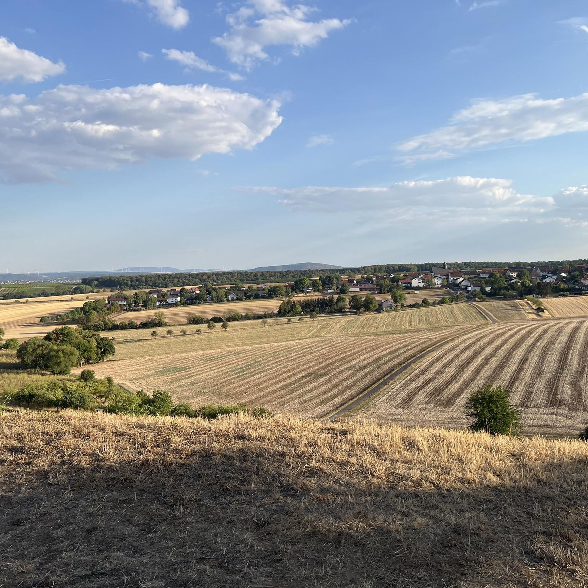
Gravel biking around Braunweiler offers diverse terrain within the Naheland region, situated at the edge of the Gauchswald forest and the broader Hunsrück. The area features a network of paths through forests, vineyards, and rolling hills, providing varied surfaces for gravel bikes. Riders can expect a mix of quiet side roads and dedicated gravel paths, with topography ranging from gentle ascents to challenging climbs. This landscape provides opportunities for exploring river valleys and panoramic views over the Nahe wine-growing region.
…Last updated: October 20, 2026
4.3
(7)
31
riders
68.6km
04:59
670m
670m
Hard gravel ride. Very good fitness required. Some segments of this route may be unpaved and difficult to ride.
5.0
(1)
7
riders
30.6km
02:15
520m
520m
Hard gravel ride. Very good fitness required. You may need to push your bike for some segments of this route.

4.8
(4)
22
riders
Hard gravel ride. Very good fitness required. Mostly paved surfaces. Suitable for all skill levels.
4.8
(5)
18
riders
19.0km
01:07
140m
140m
Easy gravel ride. Great for any fitness level. Mostly paved surfaces. Suitable for all skill levels.
5.0
(2)
11
riders
Hard gravel ride. Very good fitness required. Mostly paved surfaces. Suitable for all skill levels.
Get access to more routes and recommendations from other explorers.
Already have an account?
Our route recommendations are based on thousands of hikes, rides, and runs completed by other people on komoot.
Start today with a free account
Your next adventure awaits.
Tips from the Community

Nice place to rest, especially when it's very warm, you can cool down here immediately
0
0

From the village center in Weiler, continuing the Heilig Kreuz-Weg, a Stations of the Cross with Stations of the Cross leads north into the Binger Wald. It ends at the "Gedenkstätte Belle Kreuz" in the middle of the forest. The site is equipped with an open-air altar and a 10-meter-high wooden cross. The altar area serves as a memorial for the victims of the Second World War. The first Holy Mass took place here in 1955. As early as 1949, the community was founded to establish a Stations of the Cross. In 1951/52, the Stations of the Cross, made of Mayen basalt, could be erected. The Mainz sculptor Adam Winter created the relief panels for the niches of the stations. Since 1961, the remaining work has been completed.
1
0


You don't see a wall like this very often in flat country
7
0
The water wheel between the Kurmittelhaus in Bad Münster am Stein and the Nahe had to be decommissioned due to dilapidation. The water wheel at the old brine reservoir was built in 1993 by a Bad Kreuznach carpentry company from larch wood. It has a diameter of nine meters. Metal bands and steel bolts hold the wooden elements together.
2
0

Very nice cycle path 🚴♂️
0
0

In addition to the beautiful view, you can also enjoy a delicious ice cream from the ice cream parlor on the corner.
2
0
Frequently Asked Questions
How many gravel bike trails are available around Braunweiler?
There are over 30 gravel bike trails around Braunweiler, offering a wide range of options for different skill levels. The komoot community has explored these routes extensively, with over 200 gravel bikers having used komoot to discover the area's diverse terrain.
Are there any easy gravel bike routes suitable for beginners in Braunweiler?
Yes, while many routes offer a challenge, there is at least one easy gravel bike route available. For a moderate option that still provides scenic views, consider the View of Rheingrafenstein Castle – View of Rotenfels Cliff loop from Oberhausen an der Nahe, which is popular among local riders.
What kind of terrain can I expect on gravel bike trails in Braunweiler?
Gravel biking in Braunweiler offers a diverse mix of terrain. You'll find quiet side roads, endless gravel paths, and forest trails through areas like the Gauchswald and Heegwald. Routes often wind through vineyards and rolling hills, providing varied topography with both ascents and descents. The wider Hunsrück-Nahe region is known for its natural gravel tours through ancient forests.
Are there any circular gravel bike trails around Braunweiler?
Yes, many of the gravel bike trails around Braunweiler are designed as loops, allowing you to start and end in the same location. For example, the Belle Cross – Mini Flowtrail S1 Lalo Forest loop from Stromberg is a popular circular route that takes you through varied forest paths.
What are some scenic viewpoints or natural attractions I can visit while gravel biking in Braunweiler?
The region offers numerous scenic viewpoints and natural attractions. You can enjoy panoramic vistas from spots like the View of the Nahe Valley from Lemberghütte Observation Platform or the Weissenfels Viewpoint. The dramatic Rotenfels Cliff and the tranquil Silver Lake (Lemberg Nature Reserve) are also notable natural monuments you might encounter.
Are there any historical sites or landmarks along the gravel routes?
Yes, gravel routes in the Braunweiler area can lead you past interesting historical sites. For instance, some routes offer views of the historic Rheingrafenstein Castle. You might also discover the Rock Hermitage Bretzenheim, a unique historical site carved into the rock.
What do other gravel bikers say about the trails in Braunweiler?
The gravel bike trails around Braunweiler are highly rated by the komoot community, with an average score of 4.5 stars from over 30 reviews. Riders often praise the diverse landscapes, the mix of forest and vineyard paths, and the opportunities for both challenging climbs and enjoyable descents.
Are there any particularly challenging gravel bike trails for experienced riders?
Yes, Braunweiler offers several challenging routes for experienced gravel bikers. Nearly 20 of the available routes are classified as difficult. An example is the Glan-Blies Cycle Path – Along the Glan River loop from Niederhausen, which is a longer and more demanding ride.
Can I combine gravel biking with other activities in the Braunweiler region?
Absolutely. Given Braunweiler's location in a wine-growing region, you can easily combine your gravel ride with stops at local wineries for wine tasting. The area also features historic buildings and castle ruins, offering cultural excursions. The extensive network of paths means you can also find opportunities for hiking.
What is the longest gravel bike route available in the area?
The longest gravel bike route listed is the Glan-Blies Cycle Path – Along the Glan River loop from Niederhausen, which spans approximately 93.7 kilometers (58.2 miles) and is considered a difficult trail.
Are there routes that pass through vineyards?
Yes, Braunweiler is a winegrowing village, and many routes in the area frequently wind through its vineyards. This provides not only scenic beauty but also varied topography with rolling hills, characteristic of the Nahe wine-growing region.
What is the elevation gain like on the gravel trails around Braunweiler?
The elevation gain varies significantly across the trails. While some routes offer more gentle ascents, many feature rolling hills and challenging climbs, especially in the Hunsrück-Nahe region. For example, the Belle Cross – Mini Flowtrail S1 Lalo Forest loop from Stromberg includes over 500 meters of elevation gain.
Most popular routes around Braunweiler
Most popular attractions around Braunweiler

Get inspired with the komoot mobile app


Explore more
Browse the best Gravel rides in other regions.
