The best gravel rides around Riegelsberg
4.3
(173)
906
riders
83
rides
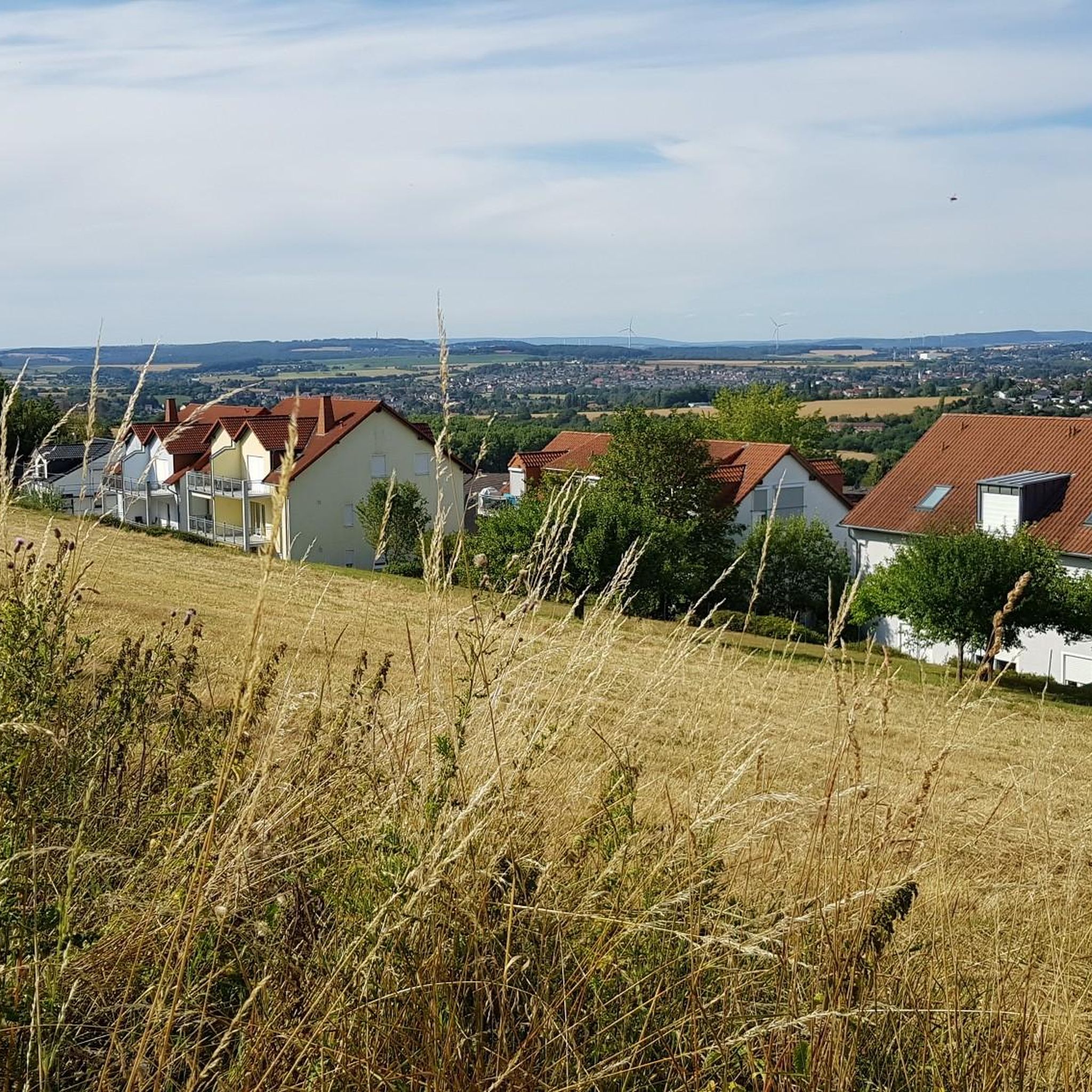
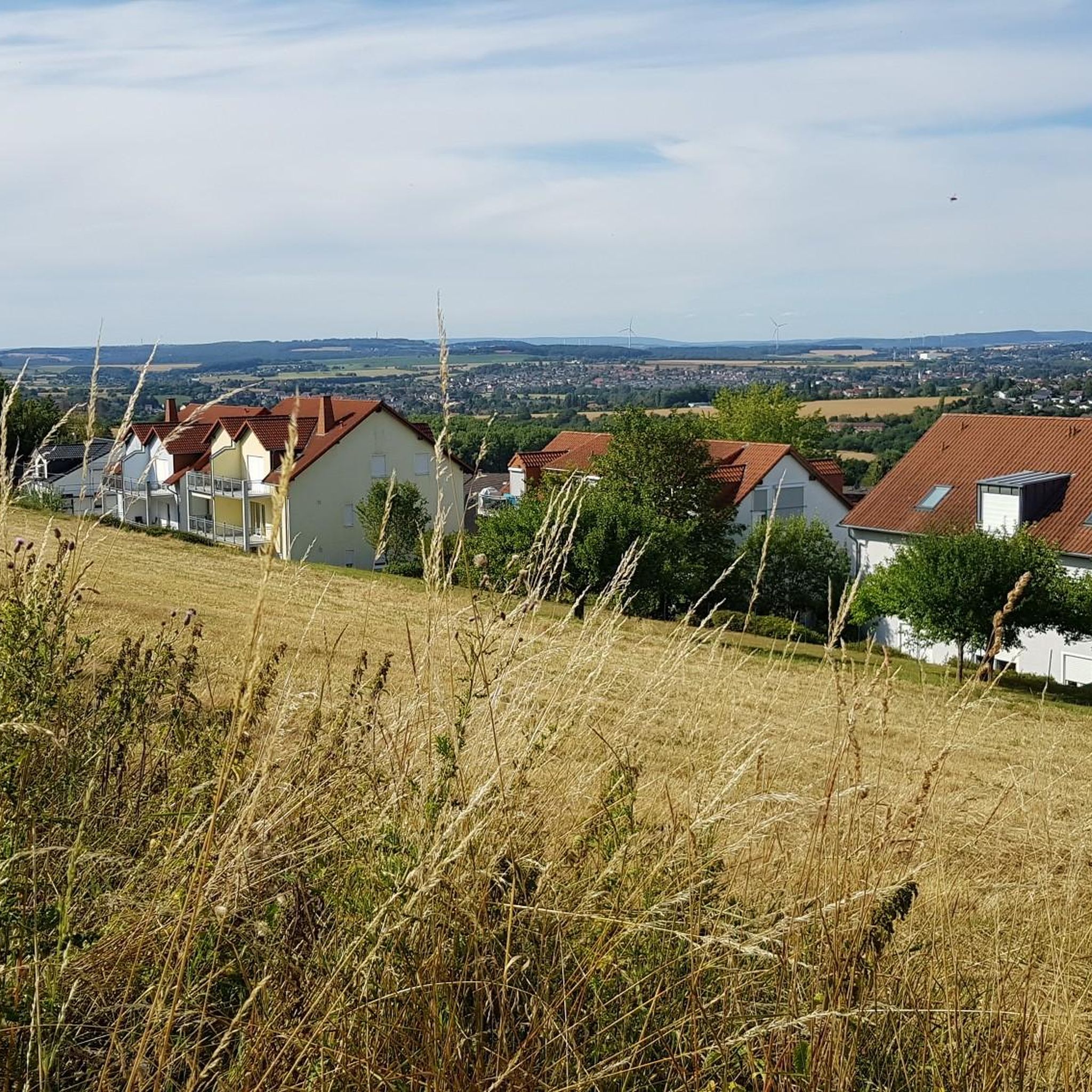
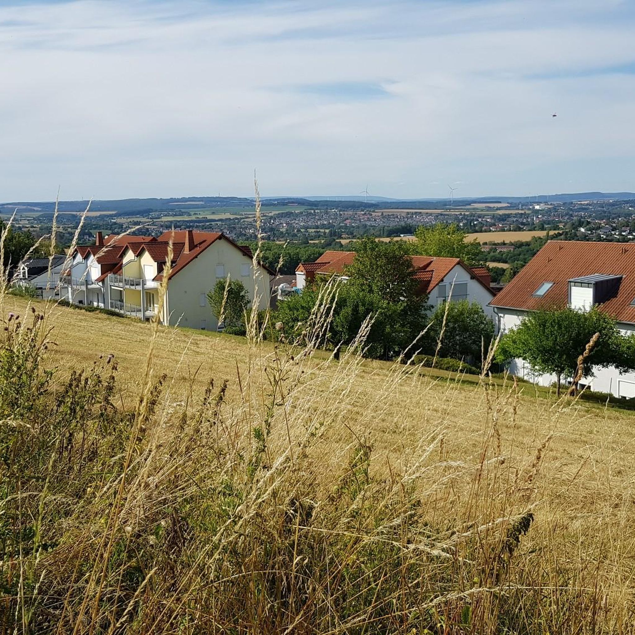
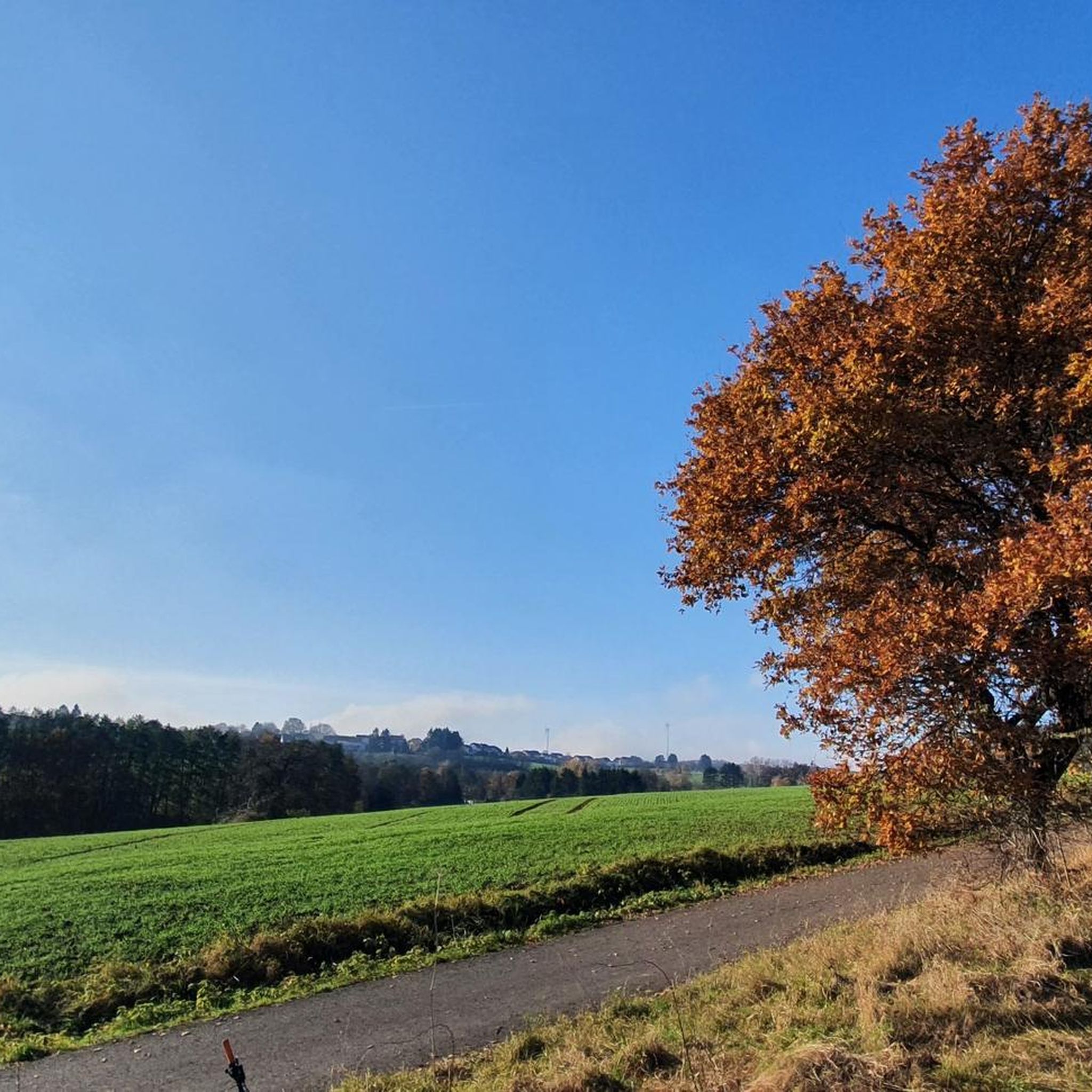
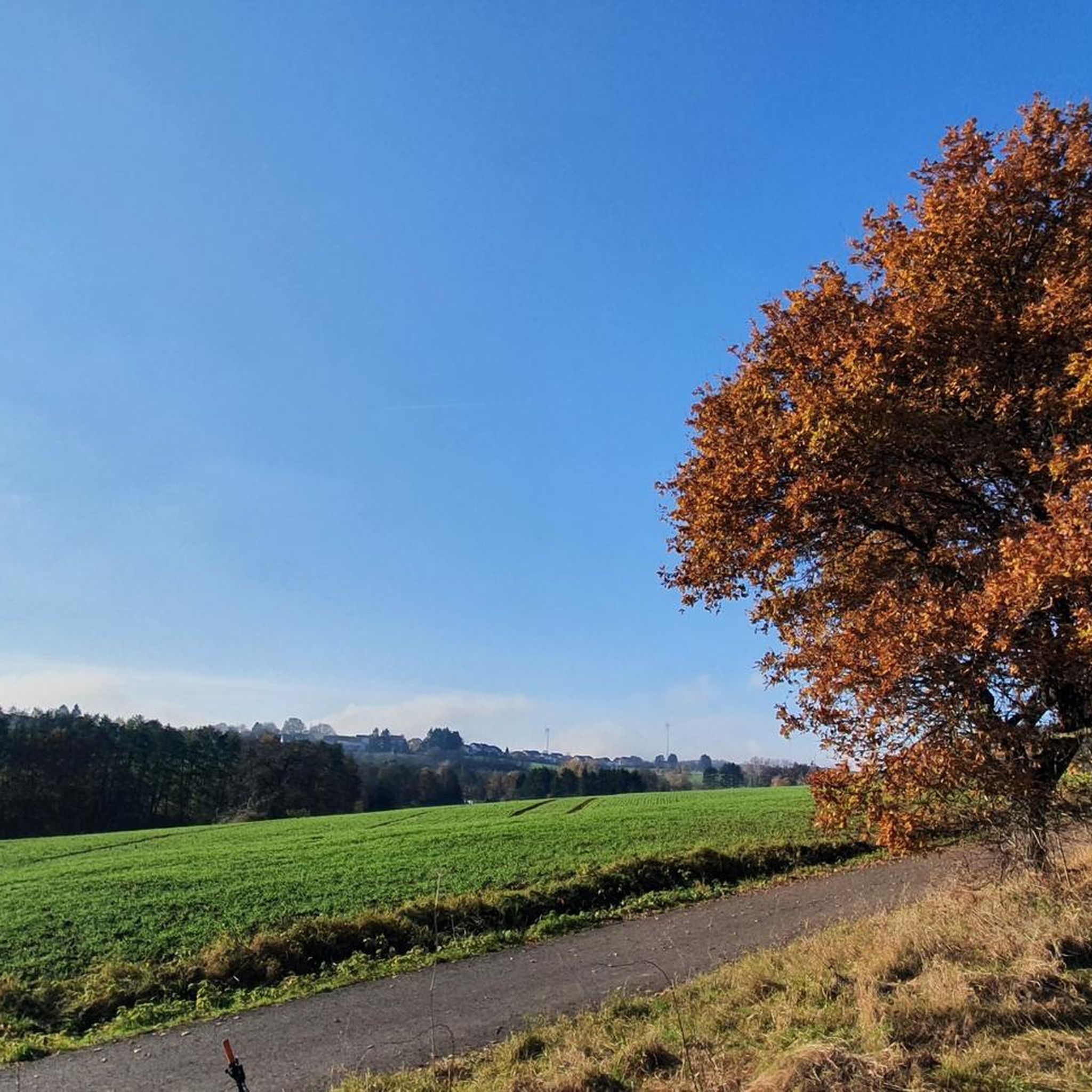
Gravel biking around Riegelsberg offers diverse terrain within the Saarbrücken district of Saarland, Germany. The region is characterized by numerous forests, meadows, and hills, including the expansive Köllertal Forest and the "Alte Burg" mountain. Varied surfaces, such as small roads, field paths, and forest trails, are abundant, making it suitable for gravel cycling. The landscape is shaped by the Saar, Köller, and Burbach valleys, interspersed with heights that provide elevation changes for routes.
Best gravel bike trails around Riegelsberg
- The…
Last updated: July 2, 2026
4.3
(13)
53
riders
35.9km
02:11
360m
360m
Moderate gravel ride. Good fitness required. Mostly paved surfaces. Suitable for all skill levels.
4.3
(3)
23
riders
47.8km
03:07
640m
640m
Hard gravel ride. Very good fitness required. You may need to push your bike for some segments of this route.

Sign up for free
5.0
(6)
24
riders
Moderate gravel ride. Good fitness required. Mostly paved surfaces. Suitable for all skill levels.
3.3
(3)
21
riders
50.7km
03:08
660m
660m
Hard gravel ride. Very good fitness required. Mostly paved surfaces. Suitable for all skill levels.
4.7
(3)
19
riders
71.2km
04:20
690m
690m
Hard gravel ride. Very good fitness required. Mostly paved surfaces. Suitable for all skill levels.
Get access to more routes and recommendations from other explorers.
Sign up for free
Already have an account?
Our route recommendations are based on thousands of hikes, rides, and runs completed by other people on komoot.
Start today with a free account
Your next adventure awaits.
Login or Signup

Other adventures around Riegelsberg

Tips from the Community


The Saar (French Sarre, Latin Saravus, Luxembourgish Saar) is a river flowing approximately northward in Alsace and Lorraine, as well as in the German states of Saarland and Rhineland-Palatinate. With a flow distance of 235 kilometers, it is the longest tributary of the Moselle; its catchment area covers 7431 square kilometers, which is about three times the area of Saarland (2569.69 km²). See: https://de.wikipedia.org/wiki/Saar
1
0

Beautiful quiet hiking trail, very well signposted
1
0

The fishing hut on the grounds of the Bous Angling Club is an ideal starting point for the Bous Trail: Here you'll find a large overview sign showing the route (both the short and long trails), and you're immediately out in nature by the water. It's a peaceful place to arrive – and later a lovely destination when the loop ends back at the Bommersbach stream/pond. If you'd like to stop for refreshments: According to the club, the fishing hut is currently only open on a limited basis; it's best to check the current opening hours with the ASV (Angling Club). https://www.asv-bous.de/fischerhuette/
0
0

"You must go under this bridge"
0
0

A perfect stop for a bike tour along the Saar River. An overnight stay at the Leonardo Hotel is recommended.
1
0

Clearly visible from the Saar Cycle Route
1
0

A visit to the beer garden is also recommended
2
0
Frequently Asked Questions
How many gravel bike trails are available around Riegelsberg?
Riegelsberg offers a wide selection of gravel biking opportunities, with over 130 routes available. These trails range in difficulty from easy to difficult, ensuring options for various skill levels.
What kind of terrain can I expect on gravel bike trails in Riegelsberg?
The terrain around Riegelsberg is diverse, characterized by numerous forests, meadows, and hills. You'll encounter varied surfaces including small roads, field paths, and forest trails. The region is shaped by the Saar, Köller, and Burbach valleys, interspersed with heights that provide engaging elevation changes.
Are there any easy gravel bike trails suitable for beginners or families in Riegelsberg?
Yes, Riegelsberg has several easier routes. While many trails offer moderate to difficult challenges, there are 5 routes specifically rated as easy. For a moderate option that's still accessible, consider the Panorama Trail Köllerbachtal – View of the Köllertal loop from Heusweiler Schulzentrum, which is 25.2 km long and leads through scenic valleys.
What are some notable landmarks or natural features I can see along the gravel routes?
Many routes will take you through the expansive Köllertal Forest and near the 'Alte Burg' Mountain. You might also encounter natural highlights such as the Itzenplitzer Pond or the Kneipp basin and historic fountain in the forest. The region's valleys (Saar, Köller, Burbach) also offer picturesque views.
Are there any long-distance gravel routes for experienced riders?
Absolutely. For a significant challenge, the Saarschleife Cycling Route – View of the Saar River loop from Walpershofen Mitte is a difficult 100.3 km trail that follows the Saar River. Another demanding option is the View of Schwarzenholz – View of Landsweiler loop from Walpershofen Mitte, covering 50.6 km with varied terrain and elevation.
What is the best time of year to go gravel biking in Riegelsberg?
While gravel biking is enjoyable year-round, May and August are particularly popular months for cycling in Riegelsberg. The region's forests and valleys are especially beautiful in spring and autumn, offering pleasant conditions for riding.
Are there any circular gravel routes around Riegelsberg?
Yes, many of the gravel routes in Riegelsberg are designed as loops. For example, the Völklinger Hütte – Old Püttlingen Station loop from Walpershofen Mitte is a moderate 54.2 km circular route, and its reverse, the Old Püttlingen Station – Völklinger Hütte loop from Walpershofen Mitte, is 38.5 km.
What do other gravel bikers enjoy most about the trails in Riegelsberg?
The komoot community highly rates the gravel trails in Riegelsberg, with an average score of 4.3 stars from over 200 reviews. Riders often praise the diverse terrain, the extensive forest paths, and the scenic views offered by the region's valleys and hills.
Is Riegelsberg well-connected by public transport for cyclists?
Riegelsberg is conveniently located just 9 km northwest of Saarbrücken, the state capital. This proximity means it's well-connected by public transport, including tram services, making it easy to access the area with your bike and start your gravel adventures.
Are there places to eat or rest near the gravel bike trails?
The region offers various facilities for visitors. You might find places like the Kirschheck Nature Friends' House or the Invalidenalm Under the Beeches, which can serve as good spots for a break or a meal during your ride.
Can I find trails that offer viewpoints or panoramic vistas?
Yes, the landscape around Riegelsberg, with its interspersed heights and valleys, provides numerous opportunities for panoramic views. Routes often lead over 'airy heights' and through 'shady valleys,' ensuring a dynamic cycling experience with rewarding vistas.
Most popular routes around Riegelsberg
Most popular attractions around Riegelsberg

Get inspired with the komoot mobile app


Explore more
Browse the best Gravel rides in other regions.
