The best gravel rides around Gandesbergen
4.9
(9)
46
riders
5
rides
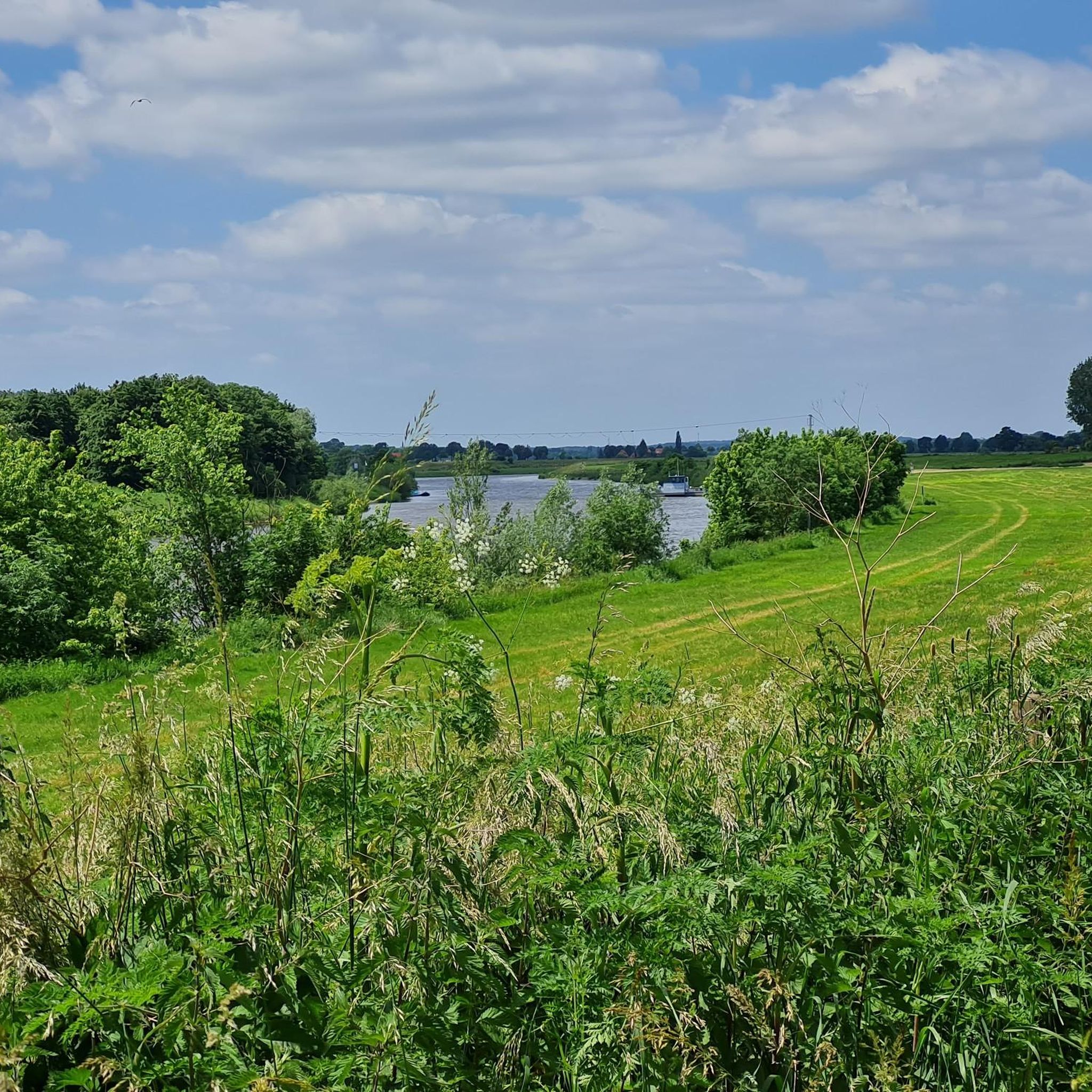
Gravel biking around Gandesbergen offers routes through the flat to gently rolling landscapes of Lower Saxony. The region is characterized by river valleys, such as the Aller, alongside expansive marshlands and agricultural fields. Gravel bike trails here often follow former railway lines or quiet country roads, providing varied surfaces for cycling.
Best gravel bike trails around Gandesbergen
- The most popular gravel bike trail is Allertalbahn Cycle Path – View of the Aller Valley loop from Rethem (Aller), a 25.8…
Last updated: July 2, 2026
4.8
(8)
32
riders
41.5km
02:22
80m
80m
Moderate gravel ride. Good fitness required. Mostly paved surfaces. Suitable for all skill levels.
6
riders
42.6km
02:23
130m
130m
Hard gravel ride. Good fitness required. You may need to push your bike for some segments of this route.

Sign up for free
2
riders
57.8km
03:32
230m
230m
Hard gravel ride. Good fitness required. You may need to push your bike for some segments of this route.
2
riders
63.8km
03:45
150m
150m
Moderate gravel ride. Good fitness required. Mostly paved surfaces. Suitable for all skill levels.
5.0
(1)
2
riders
71.5km
03:54
200m
200m
Moderate gravel ride. Good fitness required. Mostly paved surfaces. Suitable for all skill levels.
Our route recommendations are based on thousands of hikes, rides, and runs completed by other people on komoot.
Start today with a free account
Your next adventure awaits.
Login or Signup
Tips from the Community

The facility, built between 1953 and 1956, dams the Weser river (head of approx. 5.20 meters). An integrated run-of-river power plant uses the water power with three turbines for sustainable electricity generation.
0
0
The historic stone arch bridge crosses the watercourse or the hollow in the forest area and is considered a popular photo motif for hikers and mountain bikers.
1
0

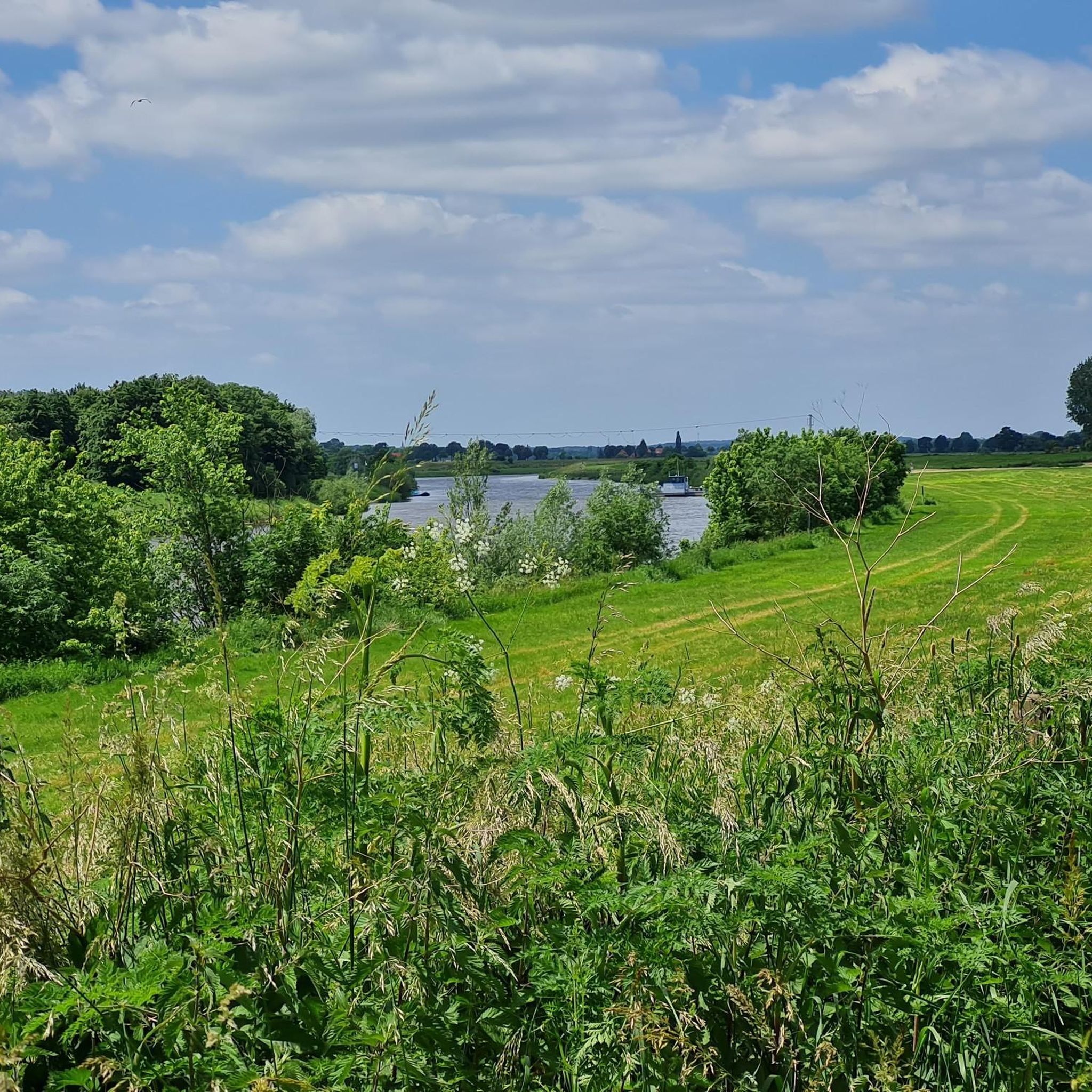
The Weser is very idyllic.
1
0
A beautiful path for strolling and relaxing.
0
0

The Freudenthalweg also leads along here. All information about the Freudenthalweg can be found at the following link: https://www.lueneburger-heide.de/natur/touren/4666/freudenthalweg-wanderweg-lueneburger-heide.html (Status: 08.06.2026).
0
0

Really very steep towards the Böhme.
0
0

The cycle path connection not only provides shorter routes to the city center and the eastern commercial areas of Verden, but also offers a vivid and relaxing nature experience. With the best views, the FFH and bird sanctuary above the Aller lowlands can be observed from a new perspective. For commuters from the municipality of Dörverden, the bike ride is shorter than before. At the same time, one can experience a sense of deceleration, even though the actual travel time has been reduced. Source: https://www.verden.de/portal/seiten/radbruecke-ueber-aller-und-waetern-907001521-20680.html
1
0
A pedestrian bridge opened in 2000, connecting Nienburg's city center with the western bank of the Weser River. It was built on the site of the first Nienburg Weser Bridge. This historic pedestrian bridge connects the city center with the district on the western bank. In the 18th century, the first stone Weser bridge was built on this site as a gift from King George of England. Until the end of the 19th century, this Weser crossing was the only one in the area. When a larger bridge was built a few hundred meters downstream, the first pedestrian bridge was built here, but it was destroyed in World War II. The bridgeless condition at this point lasted for almost 60 years. Source: https://www.nienburg.de/info/poi/wesertor-bruecke-1000814-21501.html
1
0
Frequently Asked Questions
How many gravel bike trails are available around Gandesbergen?
There are 6 gravel bike routes around Gandesbergen, offering a variety of experiences from easy to difficult. These routes are highly rated by the komoot community, with an average score of 4.9 stars.
Are there any easy gravel bike trails suitable for beginners or families?
Yes, Gandesbergen offers 2 easy gravel bike routes. These trails are generally flatter and follow quiet country roads or former railway lines, making them suitable for those new to gravel biking or families looking for a relaxed ride. One such route is the Allertalbahn Cycle Path – View of the Aller Valley loop from Rethem (Aller), which is rated moderate but offers gentle terrain.
What are the most challenging gravel bike routes in the Gandesbergen area?
For those seeking a challenge, there are 2 difficult gravel bike routes around Gandesbergen. These routes often feature longer distances or more varied terrain. Consider the Lemker Marsh – Nienburg Market Square loop from Erichshagen-Wölpe, which navigates through marshland, or the View of Grundloser See – Eibia–Borg Trail loop from Groß Häuslingen, which covers 36.3 miles through diverse landscapes.
What kind of terrain can I expect on gravel bike trails near Gandesbergen?
The gravel bike trails around Gandesbergen primarily traverse the flat to gently rolling landscapes of Lower Saxony. You'll encounter varied surfaces, including paths along river valleys like the Aller, expansive marshlands, agricultural fields, and sections that follow former railway lines or quiet country roads.
Are there any circular gravel bike routes in Gandesbergen?
All the gravel bike routes listed for Gandesbergen are designed as loops, allowing you to start and end at the same point. This includes routes like the Bockwindmühle Rethem – Dorfladen Otersen loop from Eystrup, which offers a comprehensive tour of the local scenery.
What is the typical length and duration of gravel bike routes in this region?
Gravel bike routes around Gandesbergen vary in length, with the shortest being approximately 25.8 miles (41.5 km) and the longest extending to about 44.4 miles (71.5 km). Depending on the route and your pace, durations can range from around 2 hours 23 minutes to over 4 hours.
What scenic views or natural attractions can I expect along the gravel bike trails?
Many routes offer views across the Aller Valley and through marshlands. You can also find trails that pass by significant natural features such as the Grundloser See. For specific natural highlights, consider visiting the Wiedesee Observation Tower or the Lemker Marsch Nature Reserve.
Are there any interesting landmarks or historical sites near the gravel routes?
Yes, the region has several points of interest. You might encounter landmarks like the Bockwindmühle Rethem (Aller) in Londy Park or the Weser bridge in Hoya. Some routes also connect to urban areas like Nienburg Market Square, offering a blend of nature and local culture.
What do other gravel bikers say about the trails in Gandesbergen?
The komoot community highly rates the gravel biking experience in Gandesbergen, with an average score of 4.9 stars from 8 reviews. Riders often praise the varied terrain, the peaceful river valleys, and the well-maintained paths that make for an enjoyable ride through the Lower Saxony landscape.
Is there a route that combines marshland scenery with urban connections?
Yes, the Lemker Marsh – Nienburg Market Square loop from Erichshagen-Wölpe is a difficult 26.5-mile route that specifically navigates through marshland and connects to urban areas, offering a diverse riding experience.
What is the best time of year for gravel biking around Gandesbergen?
Gravel biking in Gandesbergen is generally enjoyable from spring through autumn, when the weather is mild and the paths are dry. The flat to gently rolling landscape makes it accessible, but checking local weather conditions before your ride is always recommended.
Are there any routes that pass by lakes or water bodies?
Yes, some routes offer views of lakes and other water bodies. For instance, the View of Grundloser See – Eibia–Borg Trail loop from Groß Häuslingen provides scenic views of Grundloser See. You can also find highlights like Oterser Lake in the wider region.
Most popular routes around Gandesbergen
Most popular attractions around Gandesbergen

Get inspired with the komoot mobile app


Explore more
Browse the best Gravel rides in other regions.
