The best gravel rides around Weidingen
5.0
(2)
19
riders
3
rides
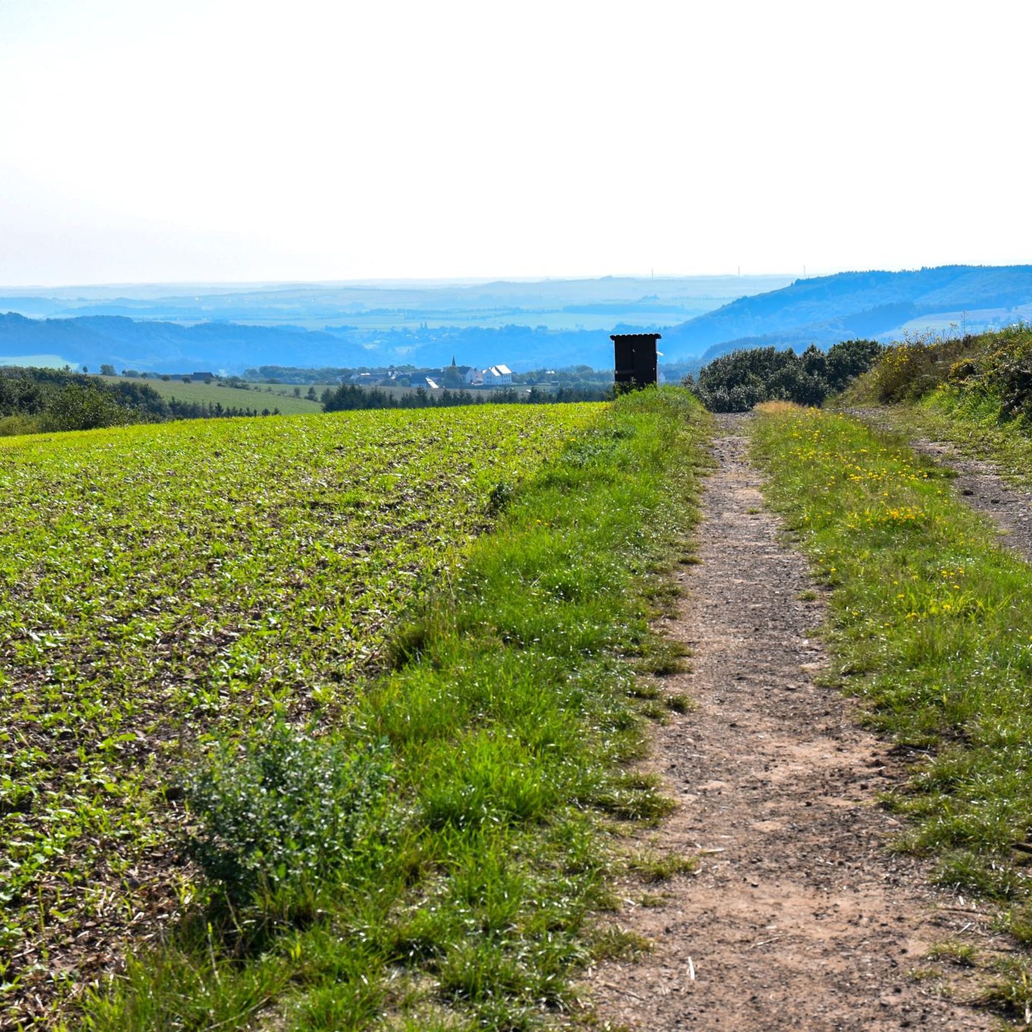
Gravel biking around Weidingen offers routes through a landscape characterized by rolling hills, dense forest sections, and river valleys. The region features a mix of paved and unpaved paths, suitable for gravel bikes. Elevations vary, with some routes including significant climbs and descents. Historic landmarks and scenic viewpoints are often integrated into the trail network.
Best gravel bike trails around Weidingen
- The most popular gravel bike trail is Fraubillenkreuz – Dillinger Bridge loop from Stockem, a 30.4 miles (49.0…
Last updated: October 19, 2026
5.0
(1)
6
riders
15.6km
01:27
370m
370m
Moderate gravel ride. Good fitness required. Mostly paved surfaces. Suitable for all skill levels.
5
riders
16.8km
01:25
350m
350m
Moderate gravel ride. Good fitness required. Mostly paved surfaces. Suitable for all skill levels.

5.0
(1)
8
riders
39.3km
02:50
780m
780m
Hard gravel ride. Very good fitness required. Mostly paved surfaces. Suitable for all skill levels.
48.8km
03:17
820m
820m
Hard gravel ride. Very good fitness required. Mostly paved surfaces. Suitable for all skill levels.
42.1km
02:52
650m
650m
Hard gravel ride. Very good fitness required. Mostly paved surfaces. Suitable for all skill levels.
Our route recommendations are based on thousands of hikes, rides, and runs completed by other people on komoot.
Start today with a free account
Your next adventure awaits.
Tips from the Community

Impressive lost places. Definitely worth a visit.
1
0

Üttfeld was a railway station with a French military tank depot
0
0

Unfortunately the chapel was closed
0
0

Completed in 1952, this arched bridge connects Luxembourg with Germany across the Sûre River. It replaced an older ford and symbolizes the functional connection between the two countries.
5
0

Info: www.maxhetzler.com/exhibitions/albert-oehlen-omega-man-2023-rodenhof-weidingen
0
0

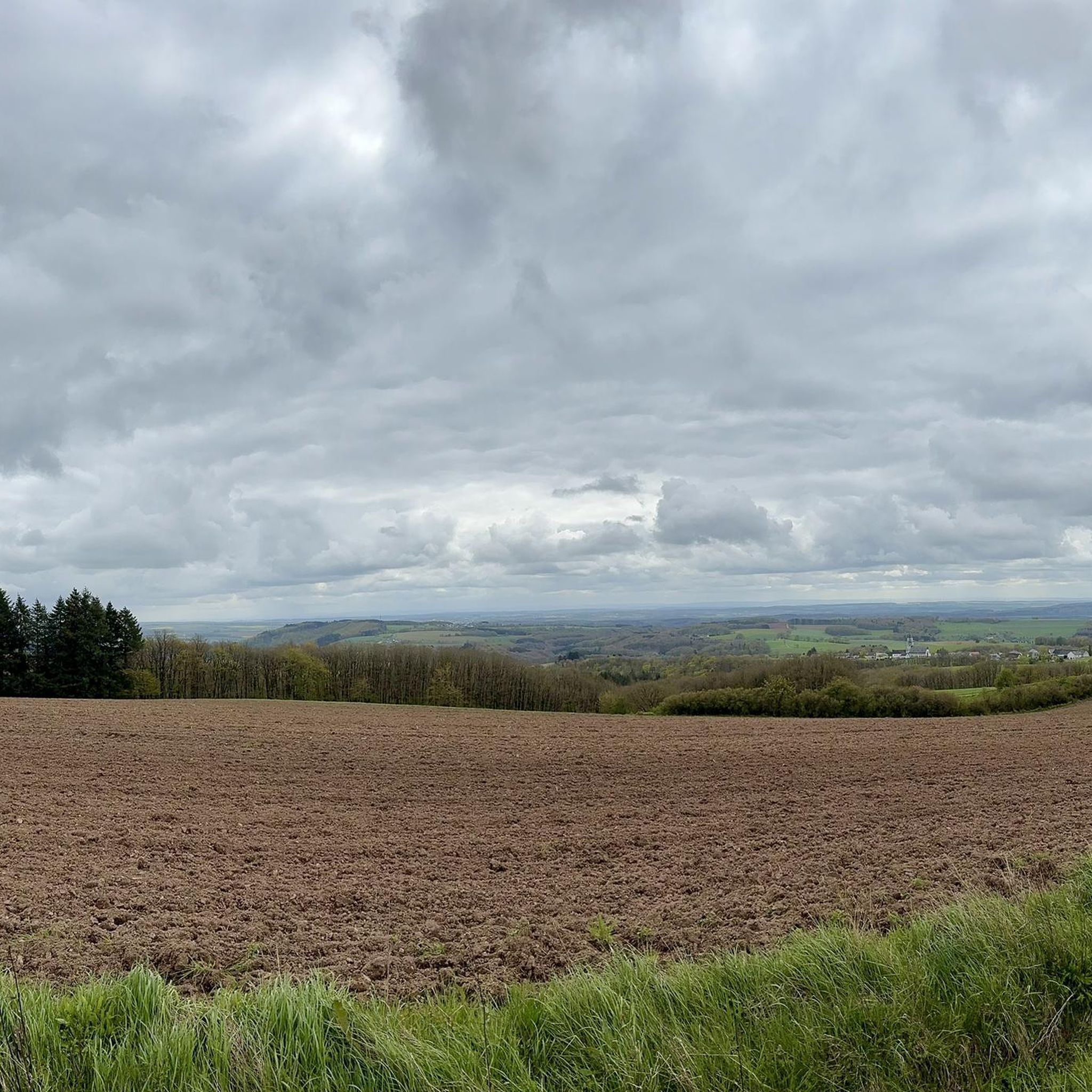
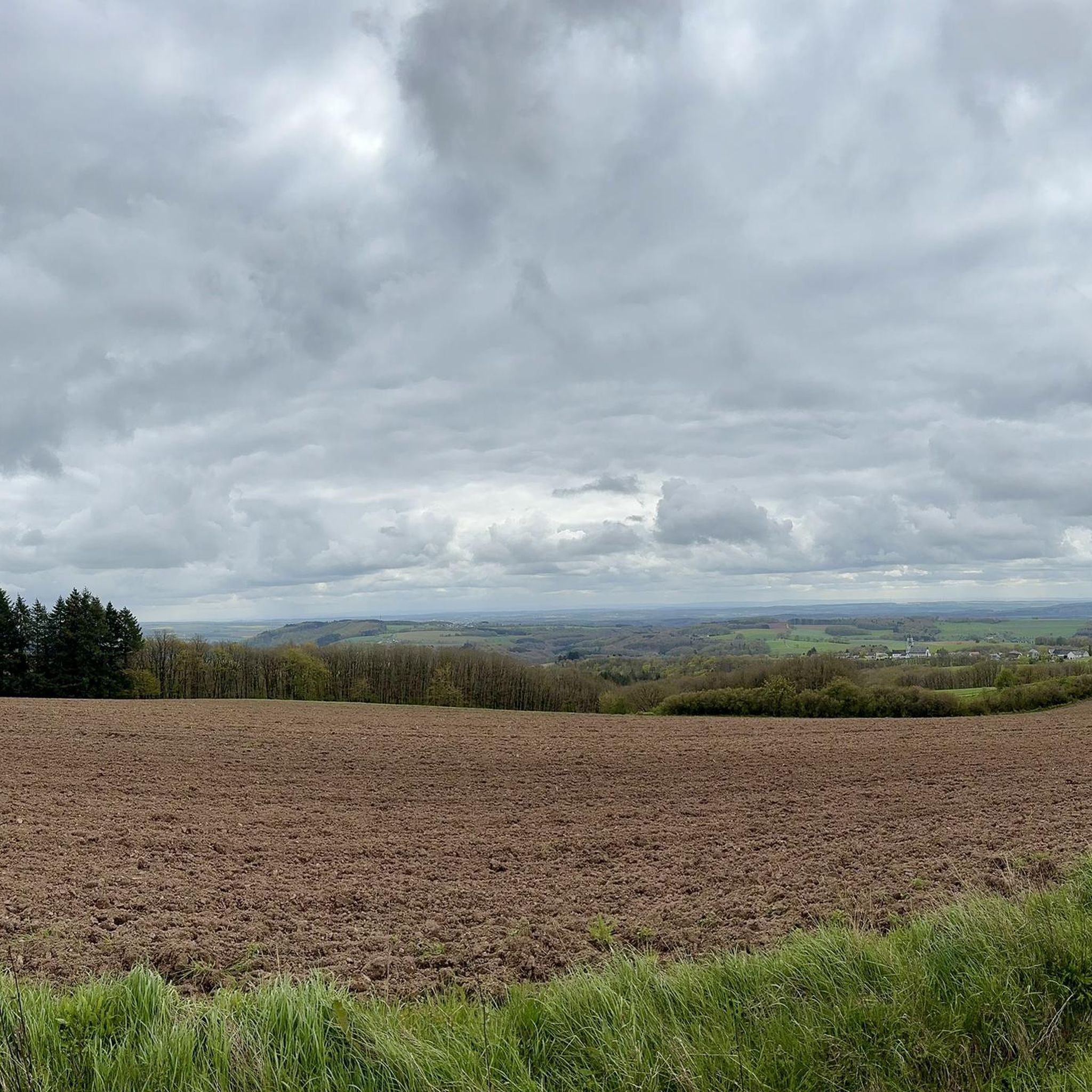
Absolutely stunning scenery - especially when the weather is good!
0
0
Absolutely stunning scenery - especially when the weather is good!
0
0

Shortly after the confluence of the Sauer and Our rivers, a bridge connects the villages of Wallendorf (Germany) and Wallendorf-Pont (Luxembourg).
12
0
Frequently Asked Questions
What are the typical difficulty levels for gravel bike trails in Weidingen?
Gravel biking around Weidingen primarily offers routes for experienced riders, with options ranging from moderate to difficult. The region features a mix of forest paths, open views, and routes incorporating historical structures, often with significant elevation changes.
Are there any long-distance gravel bike routes available in Weidingen?
Yes, Weidingen offers several longer gravel bike routes. For example, the Fraubillenkreuz – Dillinger Bridge loop from Stockem is a challenging 30.4-mile (49.0 km) trail, and the Neuerburg Tunnel – Obersgegen Covered Bridge loop from Hüttingen bei Lahr covers 24.5 miles (39.4 km).
What kind of terrain can I expect on gravel bike trails in Weidingen?
The terrain in Weidingen is diverse, characterized by rolling hills, dense forest sections, and river valleys. You'll encounter a mix of paved and unpaved paths, including gravel roads, forest tracks, and some sections with significant climbs and descents.
Are there any beginner-friendly gravel bike routes in Weidingen?
The gravel bike routes in Weidingen are generally geared towards moderate to difficult ability levels. There are no routes specifically classified as 'easy' in this guide, so beginners might find the trails challenging due to varied terrain and elevation changes.
What is the best time of year for gravel biking in Weidingen?
The region's varied terrain, including forest sections and river valleys, makes spring through autumn ideal for gravel biking. During these seasons, you'll experience pleasant weather and vibrant landscapes. Winter riding is possible but may involve colder temperatures and potentially muddy or icy conditions on unpaved sections.
Are there scenic viewpoints along the gravel bike trails in Weidingen?
Yes, many routes offer scenic views. For instance, you can find a View of Rittersdorf, St. Martin's Church, and Rittersdorf Castle, which provides a picturesque vista of the local landscape and historic architecture.
What historical landmarks or attractions can I see near the gravel bike routes?
The area around Weidingen is rich in historical sites. You can explore various castles such as Rittersdorf Castle, Hamm Castle, and the Bettingen Castle Ruins. Some routes also pass through unique features like the Neuerburg Tunnel.
Are there any circular gravel bike loops in Weidingen?
Most of the gravel bike routes in Weidingen are designed as circular loops, allowing you to start and end at the same point. Examples include the St. Karl Borromäus Chapel – Fischbach Chapel loop from Berkoth and the View over Utscheid – Fischbach Chapel loop from Utscheid.
What do other gravel bikers enjoy most about the trails in Weidingen?
The gravel bike trails in Weidingen are highly rated by the komoot community, with an average score of 3.0 stars. Riders often praise the diverse scenery, which includes a mix of forest paths, open views, and historical structures like tunnels and bridges, offering a varied and engaging experience.
Are there places to eat or drink near the gravel bike trails?
Yes, you can find options for refreshments. For example, near the Bitburg Reservoir, there's a Bistro and Boat Rental, which can be a convenient stop on some routes.
How many gravel bike routes are there in Weidingen?
There are currently 6 gravel bike routes documented in this guide for the Weidingen region, offering a range of experiences for moderate to difficult skill levels.
Can I find less crowded gravel bike routes in Weidingen?
While some popular routes might see more traffic, exploring trails during off-peak hours or on weekdays can help you find a quieter experience. The region offers a good number of routes, so you can often find less-traveled paths by exploring different starting points.
Most popular attractions around Weidingen

Get inspired with the komoot mobile app


Explore more
Browse the best Gravel rides in other regions.
