The best gravel rides around Mürlenbach
4.8
(16)
68
riders
30
rides
Gravel biking around Mürlenbach is characterized by its location within the Vulkaneifel region, offering varied terrain from challenging climbs to smooth descents. The area features extensive wooded sections, with nearly 80% of the municipal area covered by forests, providing numerous paths suitable for gravel bikes. The Kyll River flows through the picturesque Kyll Valley, offering well-marked routes that follow the river and pass through villages. This combination of volcanic landscapes, river valleys, and woodlands creates a dynamic environment for gravel…
Last updated: July 3, 2026
4.0
(3)
12
riders
42.4km
02:48
550m
550m
Hard gravel ride. Very good fitness required. Mostly paved surfaces. Suitable for all skill levels.
7
riders
38.9km
03:05
780m
780m
Hard gravel ride. Very good fitness required. Mostly paved surfaces. Suitable for all skill levels.

Sign up for free
5.0
(2)
10
riders
48.3km
03:06
600m
600m
Hard gravel ride. Very good fitness required. Mostly paved surfaces. Suitable for all skill levels.
5.0
(1)
8
riders
57.6km
03:36
650m
650m
Hard gravel ride. Very good fitness required. Mostly paved surfaces. Suitable for all skill levels.
6
riders
35.0km
02:34
540m
530m
Hard gravel ride. Very good fitness required. Mostly paved surfaces. Suitable for all skill levels.
Get access to more routes and recommendations from other explorers.
Sign up for free
Already have an account?
Our route recommendations are based on thousands of hikes, rides, and runs completed by other people on komoot.
Start today with a free account
Your next adventure awaits.
Login or Signup
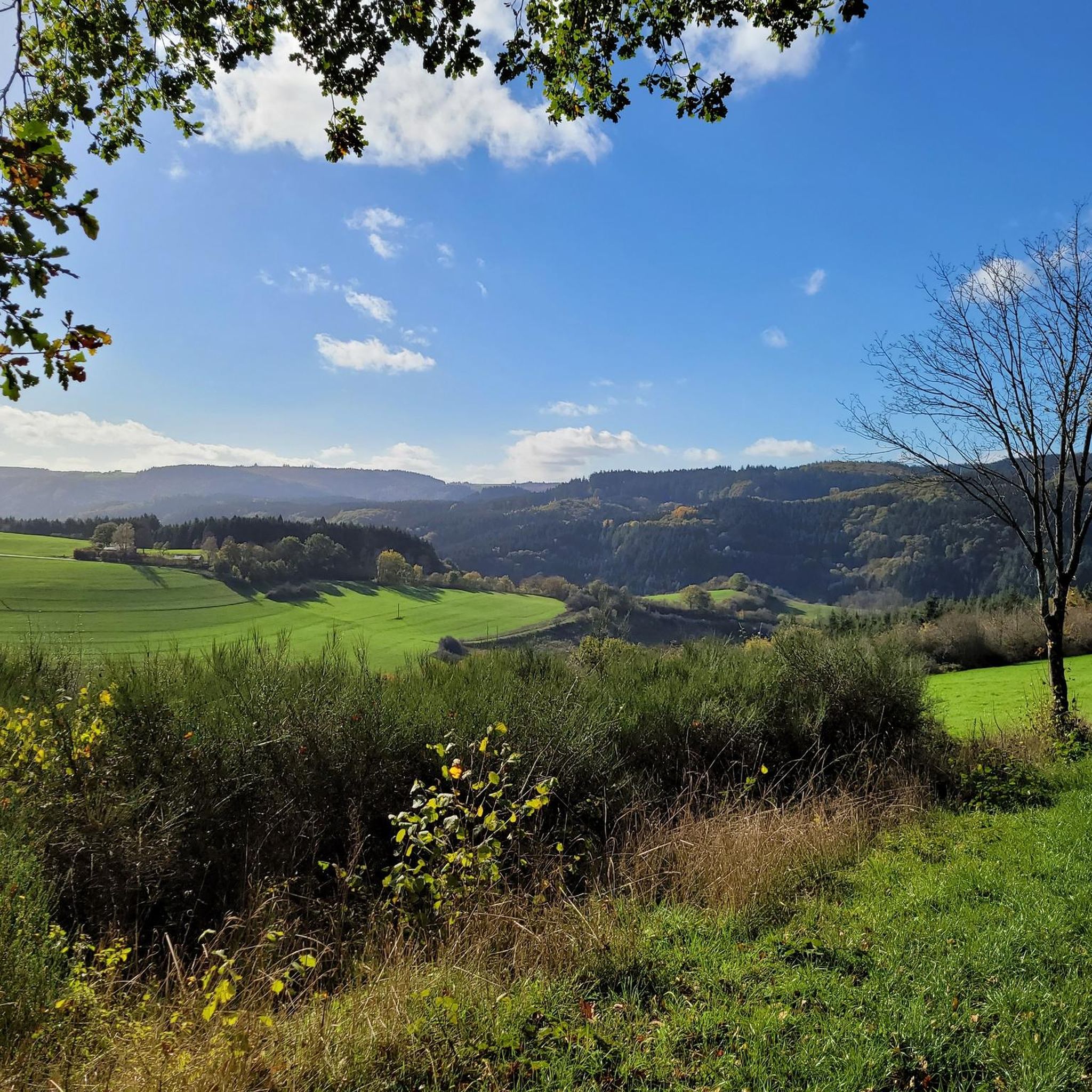
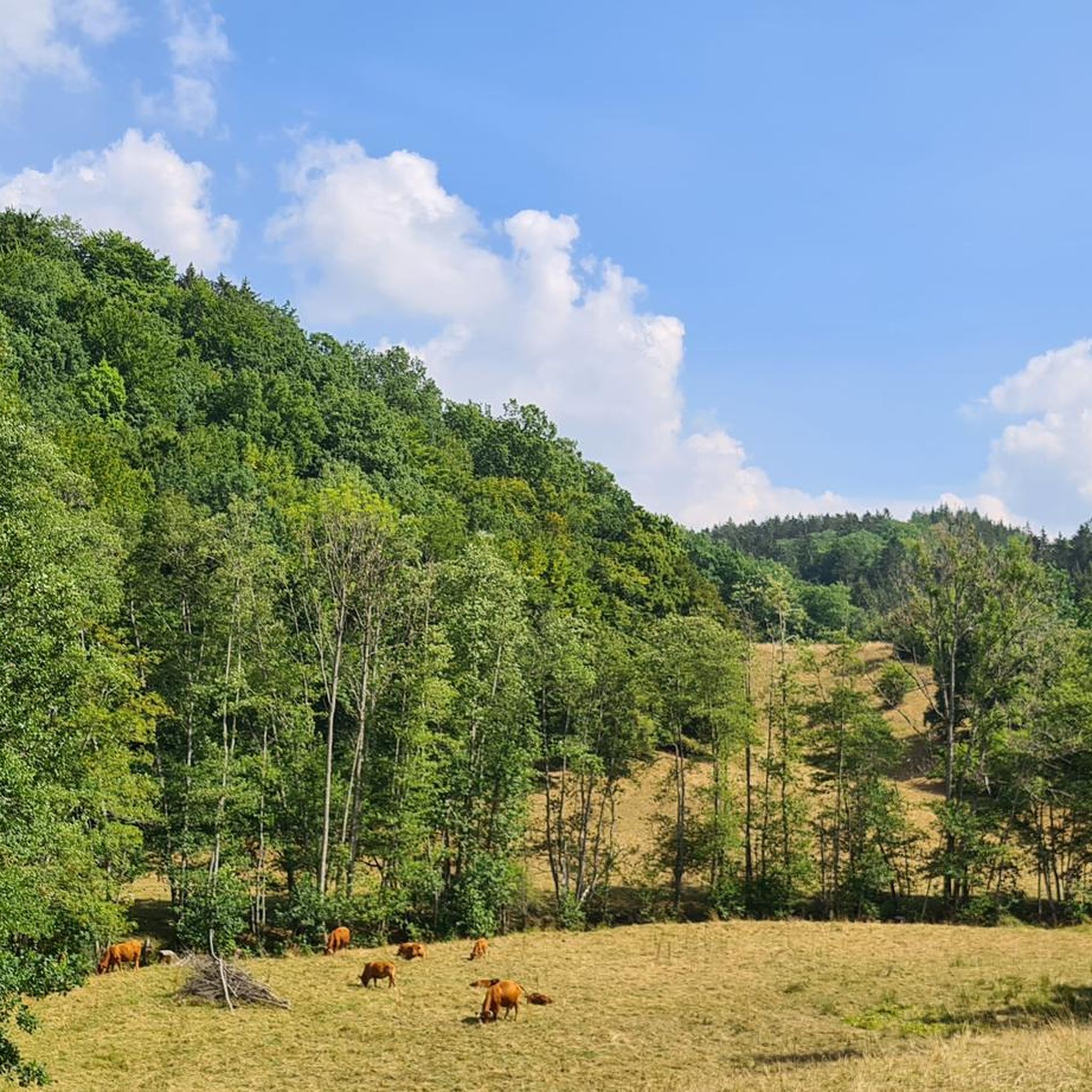
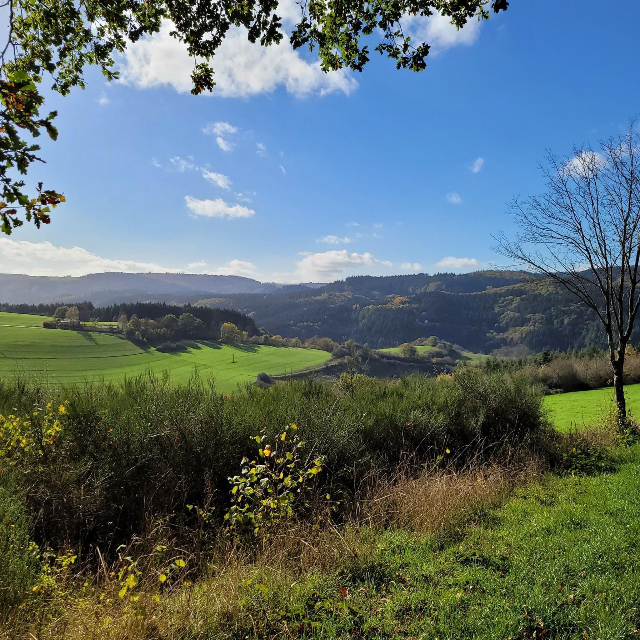
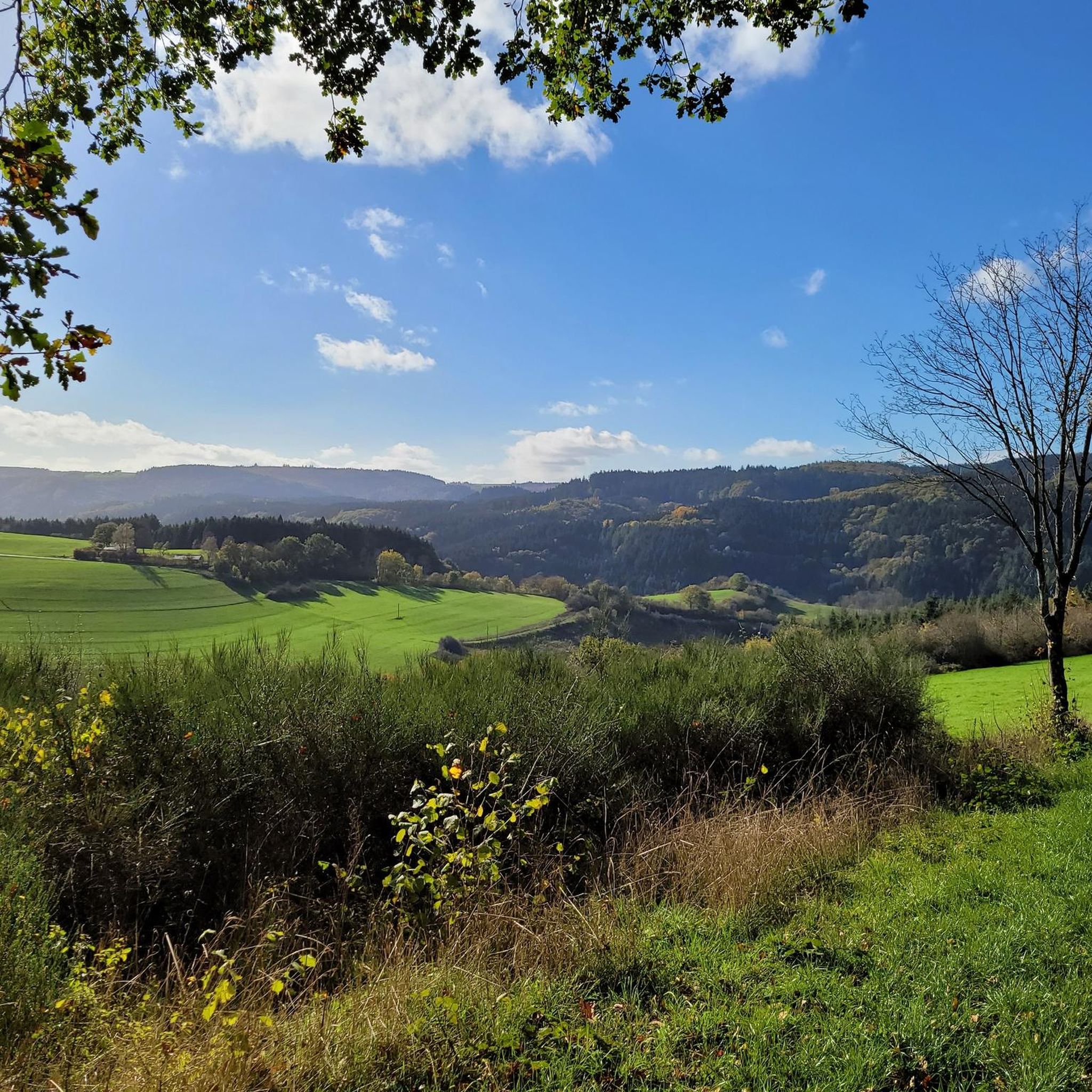
Tips from the Community

For those with time, a visit to the Eagle and Wolf Park is certainly interesting.
0
0
Two curved benches invite you to take a nap. -:)
0
0

Million dollar view of the castle
0
0

The cycle path between Kyllburg and St. Thomas is currently closed, you will be diverted via the road!
2
0

Great new bridge with a new section of cycle path
1
0

Great view of Kasselburg Castle near Pelm.... https://youtu.be/PV6yleBZNYU
0
0

May 2025 Tunnel closed - no passage possible!
0
0

Good and quiet cycle path along the beautiful river Kyll. It is almost flat here so there is not much to climb, but you can cycle nicely.
1
0
Frequently Asked Questions
How many gravel bike trails are available around Mürlenbach?
There are over 35 gravel bike trails around Mürlenbach, offering a diverse range of experiences. You'll find options for both moderate and difficult ability levels, with 13 moderate and 25 difficult routes.
What kind of terrain can I expect on the gravel bike trails near Mürlenbach?
The terrain around Mürlenbach is highly varied due to its location in the Vulkaneifel region. Expect a mix of challenging climbs and smooth descents, extensive wooded sections (nearly 80% of the municipal area is forest), and well-marked paths along the picturesque Kyll Valley. Many routes utilize old railway lines, forest paths, and riverside trails.
Are there any family-friendly or beginner-suitable gravel bike routes in Mürlenbach?
While many routes around Mürlenbach are rated moderate to difficult, the scenic Kyll Valley offers flatter sections that can be more suitable for families or beginners. Look for routes that primarily follow the Kyll River for a gentler experience. Always check the route's difficulty and elevation profile before heading out.
Can I bring my dog on the gravel bike trails around Mürlenbach?
Yes, the natural landscapes around Mürlenbach, with its extensive forests and river paths, are generally dog-friendly. However, always ensure your dog is well-behaved and under control, especially when encountering other cyclists, hikers, or wildlife. Some routes may pass through areas with livestock, so keeping your dog on a leash is advisable.
What are some scenic viewpoints or attractions I can see along the gravel bike trails?
Many routes offer stunning views and pass by notable attractions. You can enjoy views of the historic Bertradaburg castle, as seen on routes like View of Salm – View of Bertrada Castle loop from Gerolstein. The region is also known for its impressive geological formations like the Gerolstein Dolomites. Nearby, you can explore natural highlights such as the Buchenloch Cave or the View of Gerolstein from the Munterley.
Are there any circular gravel bike routes starting from Mürlenbach?
Yes, many of the gravel bike routes in the Mürlenbach area are designed as loops, allowing you to start and end in the same location. For example, the View of Bertrada Castle – Kyll River loop from Kopp is a popular circular path that follows the Kyll River and offers castle views.
What is the best time of year for gravel biking in Mürlenbach?
The mild weather during spring (April-June) and autumn (September-November) makes these the best times for gravel biking in the Eifel region. You'll enjoy comfortable conditions and vibrant landscapes, from spring blossoms to colorful autumn foliage. Summer can also be pleasant, but be prepared for potentially warmer temperatures.
Where can I park my car when going gravel biking in Mürlenbach?
Mürlenbach and surrounding villages typically offer public parking options. Look for designated parking areas near the village center or trailheads. If starting from a specific route, check the route description on komoot for recommended starting points, which often include parking information.
How can I reach Mürlenbach by public transport for cycling?
Mürlenbach is located along the Kyll River, which is served by regional train lines. The Kylltalradweg (Kyll Valley Cycle Path) often runs parallel to the railway, making it convenient to combine cycling with public transport. Check local train schedules for connections to Mürlenbach station, and inquire about bicycle transport options on trains.
Are there cafes, pubs, or accommodation options for cyclists in Mürlenbach?
Mürlenbach, as a village in a popular outdoor region, offers some local amenities. You can find cafes and pubs for refreshments, and there are guesthouses or holiday apartments for accommodation. It's always a good idea to check opening hours and availability, especially during off-peak seasons.
What do other gravel bikers enjoy most about gravel biking in Mürlenbach?
The area is highly rated by the komoot community, with an average score of 4.7 stars from nearly 20 reviews. Reviewers often praise the varied terrain, the scenic beauty of the Kyll Valley, and the extensive network of forest paths that make for dynamic and engaging gravel rides. Over 80 gravel bikers have already explored Mürlenbach's terrain using komoot.
Are there any permits required for gravel biking in the Mürlenbach area?
Generally, no specific permits are required for gravel biking on public paths and trails in the Mürlenbach and wider Eifel region. However, always respect local regulations, especially concerning nature reserves or private land. Stick to marked trails and be mindful of other users and wildlife.
What are the typical distances and durations of gravel bike routes in Mürlenbach?
The gravel bike routes around Mürlenbach vary in length and duration. You can expect routes ranging from approximately 24 miles (39 km) to over 35 miles (57 km). Durations typically range from 2.5 to over 3.5 hours, depending on the route's length, elevation, and your cycling pace. For example, the View of Kasselburg Castle – View of Salm loop from Usch-Zendscheid is about 29.9 miles (48.2 km) and takes around 3 hours 6 minutes.
Most popular routes around Mürlenbach
Most popular attractions around Mürlenbach

Get inspired with the komoot mobile app


Explore more
Browse the best Gravel rides in other regions.
