The best gravel rides around Seybothenreuth
4.5
(31)
211
riders
15
rides
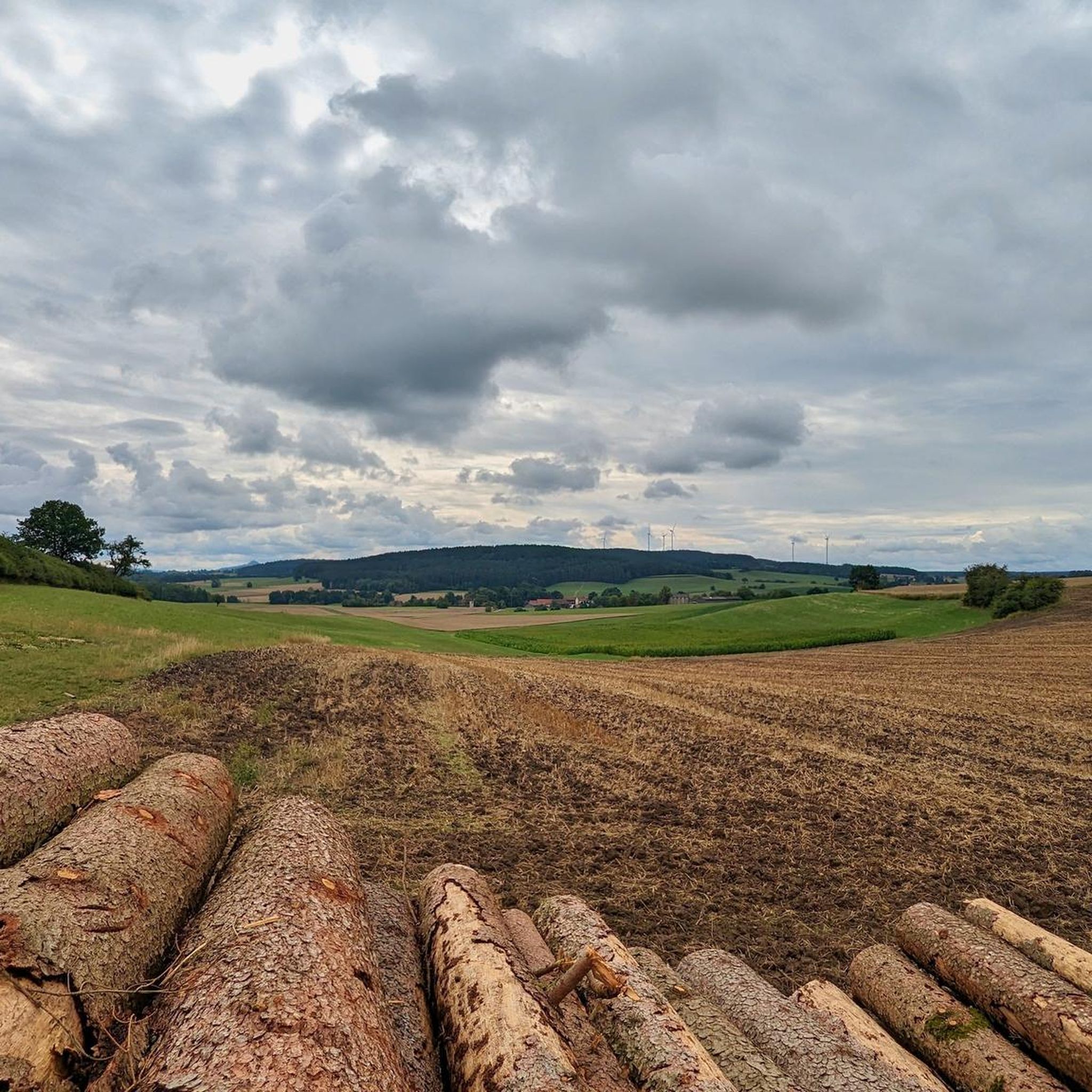
Gravel biking around Seybothenreuth offers a diverse landscape for exploration. The region features a mix of forested areas, open fields, and rolling hills, providing varied terrain for gravel bike trails. Routes often traverse through natural rock formations and past local water features, with some trails leading to elevated viewpoints. The area's topography supports a range of gravel biking experiences, from moderate paths to more challenging ascents.
Best gravel bike trails around Seybothenreuth
- The most popular gravel bike trail is Weiherfelsen…
Last updated: August 26, 2026
4.3
(9)
53
riders
Hard gravel ride. Very good fitness required. Mostly paved surfaces. Suitable for all skill levels.
4.4
(8)
39
riders
32.4km
02:01
420m
420m
Moderate gravel ride. Good fitness required. Mostly paved surfaces. Suitable for all skill levels.

Sign up for free
8
riders
103km
06:17
1,120m
1,120m
Hard gravel ride. Very good fitness required. Mostly paved surfaces. Suitable for all skill levels.
5.0
(2)
13
riders
35.3km
02:19
430m
430m
Moderate gravel ride. Good fitness required. Mostly paved surfaces. Suitable for all skill levels.
6
riders
65.9km
04:30
850m
850m
Hard gravel ride. Very good fitness required. Mostly paved surfaces. Suitable for all skill levels.
Get access to more routes and recommendations from other explorers.
Sign up for free
Already have an account?
Our route recommendations are based on thousands of hikes, rides, and runs completed by other people on komoot.
Start today with a free account
Your next adventure awaits.
Login or Signup
Tips from the Community

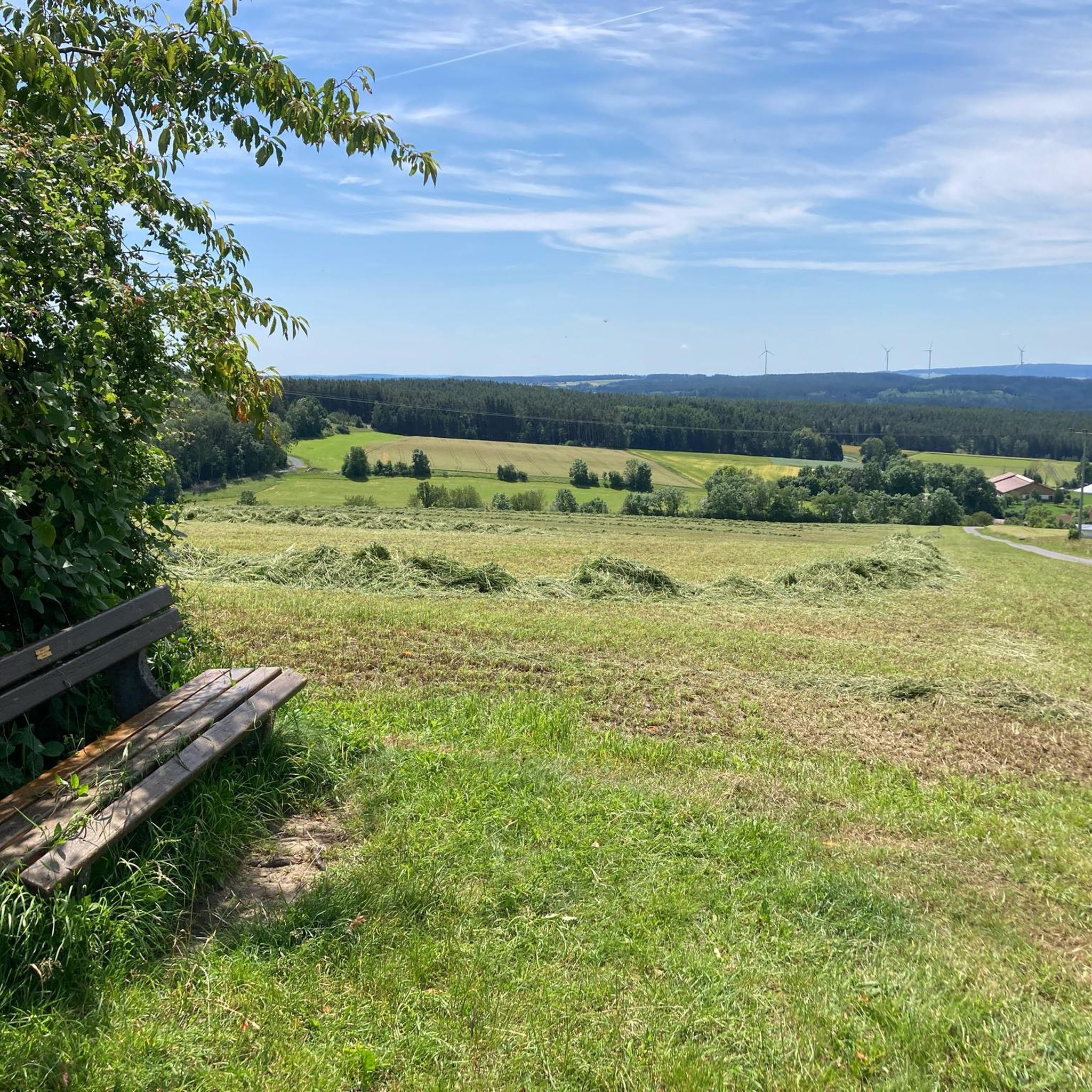
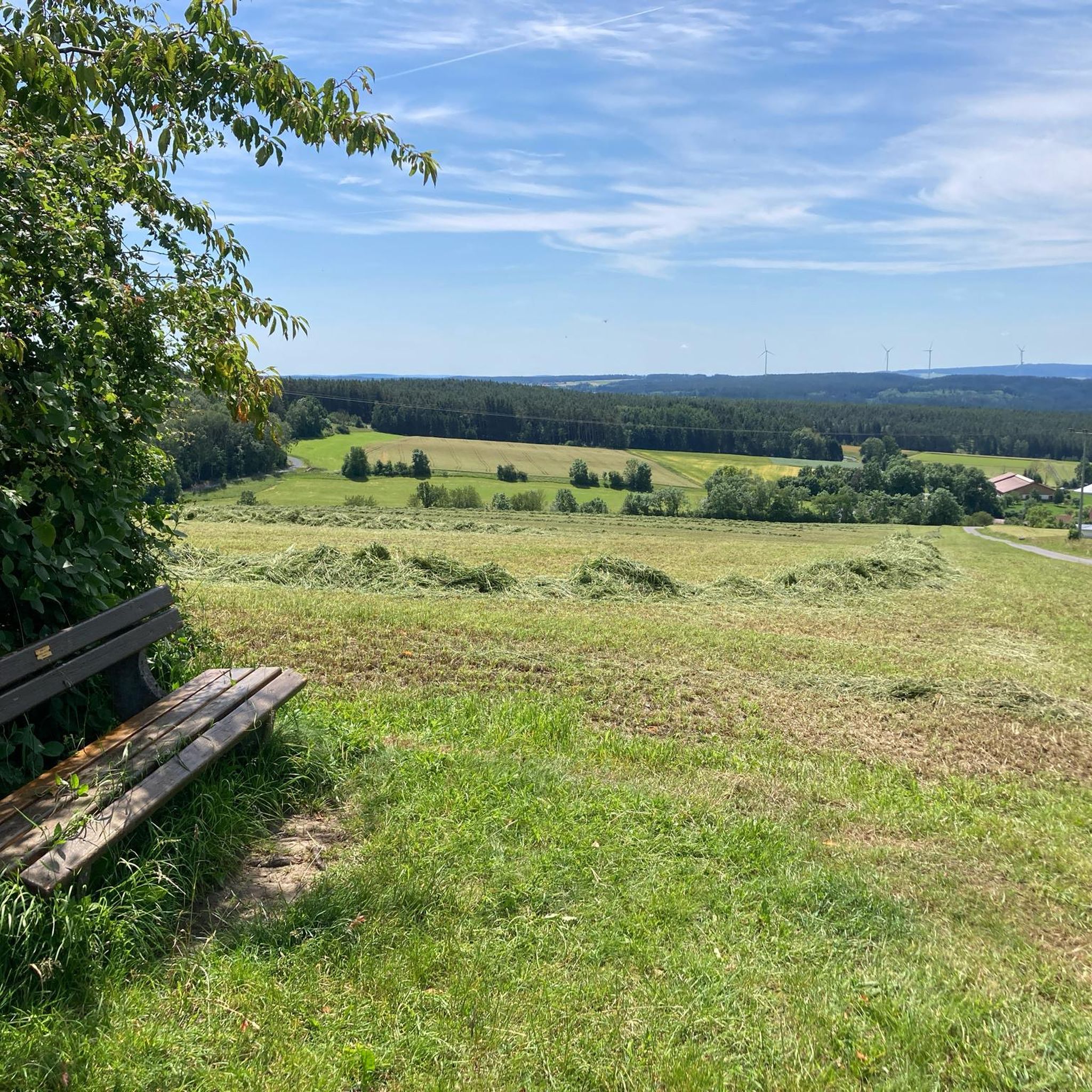
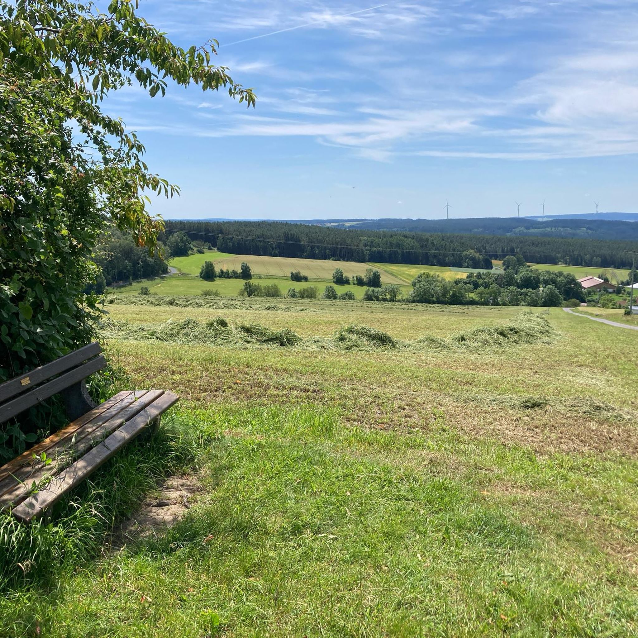
Beautiful view over the municipality of Goldkronach into the Fichtelgebirge. Far left, you can see over Himmelkron into the Franconian Forest.
0
0

The Red Main River flows past the Rotmaincenter here.
0
0

Like most river sources, it's rather unspectacular, but if you're planning to cycle the Main cycle path anyway...
2
0

The imposing signal tower was built on the foundations of the former keep of a former castle and has stood proudly on the plateau for over 500 years. Those who conquer the 68 steps of the narrow spiral staircase are rewarded with a sweeping view of the Kulmbach region, extending to the Franconian Forest, the Fichtel Mountains, and the Thuringian Forest. Looking south, one can even see as far as the high plateaus of Franconian Switzerland.
18
0

The Schafsteg (Sheep Footbridge) is a small but important bridge for hikers and walkers, spanning the Red Main River in this wooded area near Aichig, a district of Bayreuth. Located in a natural woodland setting, the footbridge is situated slightly outside the city center. It is an important part of the network of long-distance mountain hiking trails, allowing hikers and cyclists to cross the Red Main, for example, on routes leading towards Emtmannsberg or the source of the Red Main. Originally, the Schafsteg was a wooden structure. However, due to significant moisture damage over time and compromised stability, the city of Bayreuth replaced the bridge in 2018.
4
0

Great cycle path on a former railway line 🚵👍
0
0

It was completely channeled through Bayreuth. They probably wouldn't do that today either.
0
0
Frequently Asked Questions
How many gravel bike trails are available around Seybothenreuth?
There are over 30 gravel bike routes to explore around Seybothenreuth. These trails offer a diverse range of experiences, from moderate paths to more challenging ascents, catering to various skill levels.
Are there any easy gravel bike routes suitable for beginners or families?
Yes, Seybothenreuth offers a few easier gravel bike routes. While many trails are moderate to difficult, there are 2 routes specifically categorized as easy. These are generally shorter and have less elevation gain, making them suitable for those new to gravel biking or looking for a more relaxed ride.
What kind of terrain can I expect on gravel bike trails in Seybothenreuth?
The gravel bike trails around Seybothenreuth feature a varied landscape. You can expect a mix of forested sections, open fields, and rolling hills. Many routes traverse natural rock formations and pass by local water features, with some leading to elevated viewpoints. The region's topography provides a dynamic and engaging gravel biking experience.
Are there any challenging gravel bike trails for experienced riders?
Absolutely. For experienced gravel bikers seeking a challenge, Seybothenreuth offers 19 difficult routes. A notable option is the Lake Fichtel – Schneeberg Summit loop from Kirchenlaibach, which is 50.5 miles (81.3 km) long and features a significant climb to a hill summit with rewarding views of Lake Fichtel.
What are some scenic highlights or landmarks I can see along the gravel bike routes?
Many gravel routes in Seybothenreuth offer scenic views and pass by interesting landmarks. For instance, the View of Speinshart Monastery – Creußensteg loop from Schlammersdorf provides views of Speinshart Monastery. You can also explore natural formations like the Weiherfelsen Sandstone Cave, which is part of the Weiherfelsen – Weiherfelsen Sandstone Cave loop from Emtmannsberg.
Are there any loop routes available for gravel biking in Seybothenreuth?
Yes, many of the gravel bike trails around Seybothenreuth are designed as loops, allowing you to start and end at the same point. Examples include the popular Weiherfelsen – Weiherfelsen Sandstone Cave loop from Emtmannsberg and the Lake Fichtel – Schneeberg Summit loop from Kirchenlaibach.
What do other gravel bikers say about the trails in Seybothenreuth?
The gravel biking routes in Seybothenreuth are highly regarded by the komoot community, holding an average rating of 4.6 stars from over 40 reviews. Riders often praise the varied terrain, the mix of forested and open landscapes, and the options available for different ability levels.
Are there any routes that pass by historical sites or cultural attractions?
Yes, some routes offer glimpses of historical or cultural interest. For example, the View of Speinshart Monastery – Creußensteg loop from Schlammersdorf provides views of the historic Speinshart Monastery. Additionally, you might encounter highlights like the Schmutzlerzeche Visitor Mine or the Mittlerer Name Gottes Mine (show mine), which are accessible from some routes.
What is the typical length and duration of gravel bike tours in this region?
Gravel bike tours around Seybothenreuth vary significantly in length and duration. You can find shorter rides, such as the View of Speinshart Monastery – Creußensteg loop from Schlammersdorf, which is 22.4 miles (36.1 km) and takes about 1 hour 56 minutes. Longer, more challenging routes like the Lake Fichtel – Schneeberg Summit loop from Kirchenlaibach span 50.5 miles (81.3 km) and can take over 7 hours.
Are there any gravel routes that include views of lakes or water features?
Yes, several gravel routes incorporate water features into their scenic offerings. The Lake Fichtel – Schneeberg Summit loop from Kirchenlaibach, for instance, provides extensive views of Lake Fichtel. Other trails may pass by smaller local water features as mentioned in the region's description.
Can I find routes that are less frequented or considered 'hidden gems'?
While specific 'hidden gems' are subjective, the region offers a wide network of trails beyond the most popular ones. Exploring some of the 11 moderate or 19 difficult routes, such as the Grassemann Open-Air Museum – Döhlauer Graben Water Channel loop from Kirchenlaibach, might lead you to less crowded paths and unique discoveries away from the main highlights.
Most popular routes around Seybothenreuth
Most popular attractions around Seybothenreuth

Get inspired with the komoot mobile app


Explore more
Browse the best Gravel rides in other regions.
