The best gravel rides around Georgenberg
4.5
(24)
106
riders
25
rides
Gravel biking around Georgenberg offers diverse terrain within the Upper Palatinate region of Bavaria. The area features rolling low mountains and extensive forest areas, providing numerous forest roads and paths suitable for gravel cyclists. Distinctive geological formations, such as the granite boulder fields of the Doost Nature Reserve, contribute to varied landscapes. Routes often follow or cross natural water features like the Girnitz Stream, enhancing the scenic quality of the rides.
Best gravel bike trails around Georgenberg
- The most popular…
Last updated: July 2, 2026
4.4
(7)
25
riders
44.9km
02:23
350m
350m
Moderate gravel ride. Good fitness required. Mostly paved surfaces. Suitable for all skill levels.
4.7
(3)
12
riders
18.2km
01:02
180m
180m
Moderate gravel ride. Good fitness required. Mostly paved surfaces. Suitable for all skill levels.

Sign up for free
2
riders
Moderate gravel ride. Good fitness required. Mostly paved surfaces. Suitable for all skill levels.
4.0
(3)
7
riders
26.8km
01:31
280m
280m
Moderate gravel ride. Good fitness required. Mostly paved surfaces. Suitable for all skill levels.
5
riders
40.2km
02:15
370m
370m
Moderate gravel ride. Good fitness required. Mostly paved surfaces. Suitable for all skill levels.
Get access to more routes and recommendations from other explorers.
Sign up for free
Already have an account?
Our route recommendations are based on thousands of hikes, rides, and runs completed by other people on komoot.
Start today with a free account
Your next adventure awaits.
Login or Signup
Popular around Georgenberg
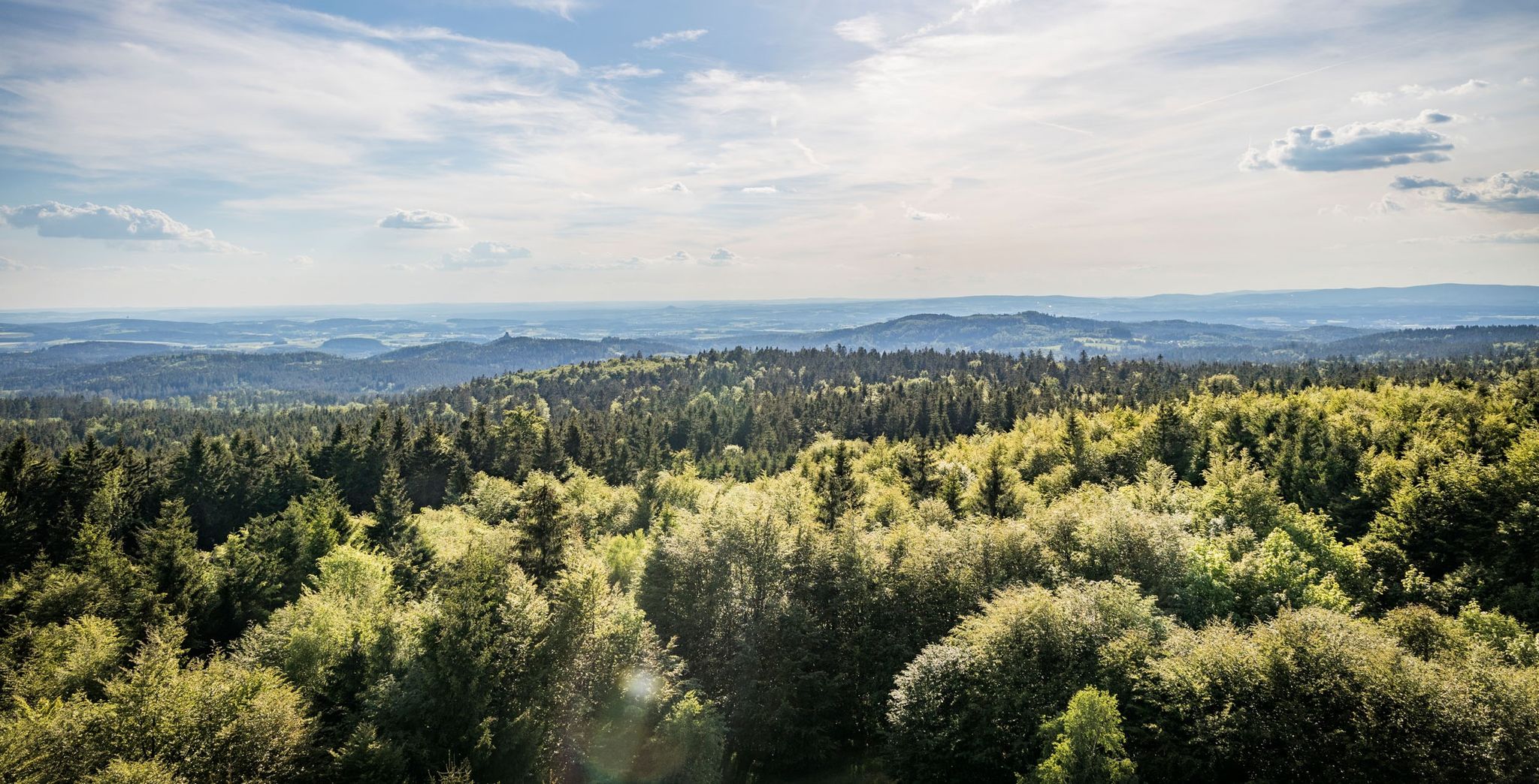
Nurtschweg – Hiking along the German-Czech border
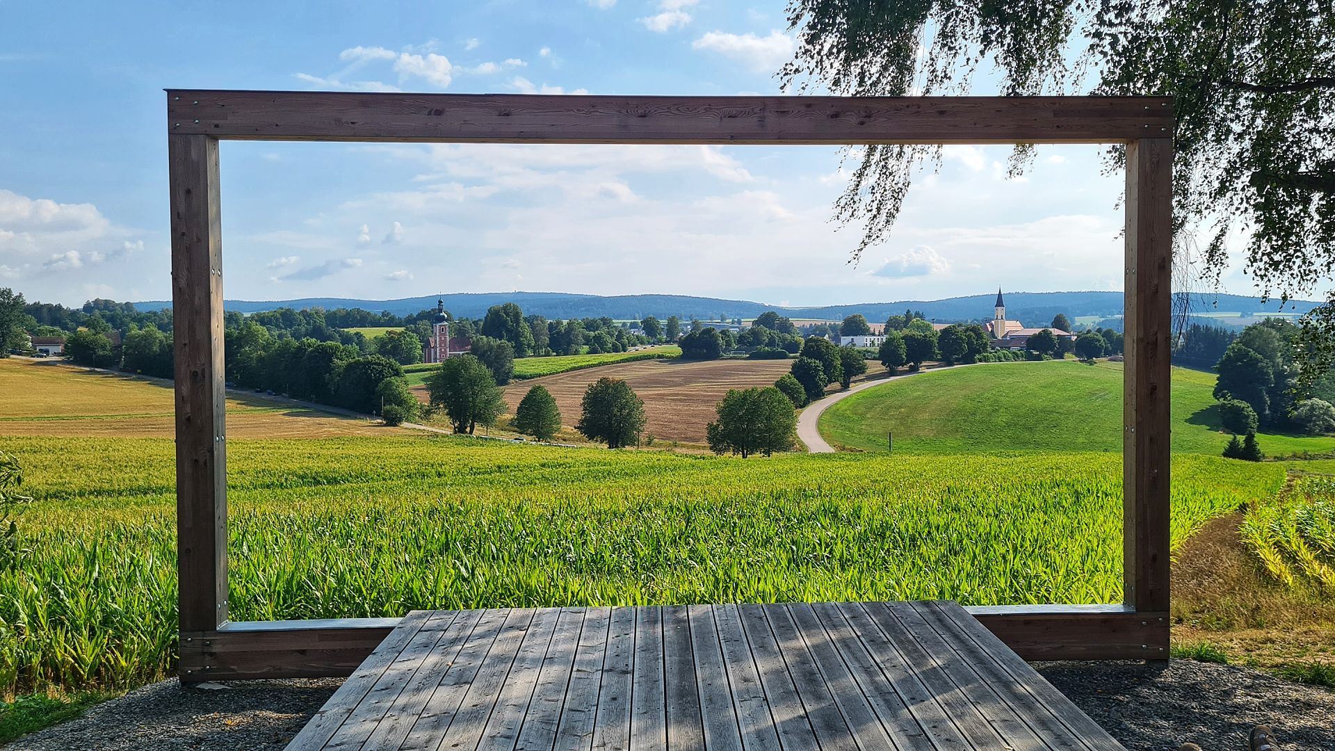
Hike the Glass Cutter Trail through the Upper Palatinate Forest

Thousands of kilometres of hiking fun – long-distance hiking trails in Bavaria
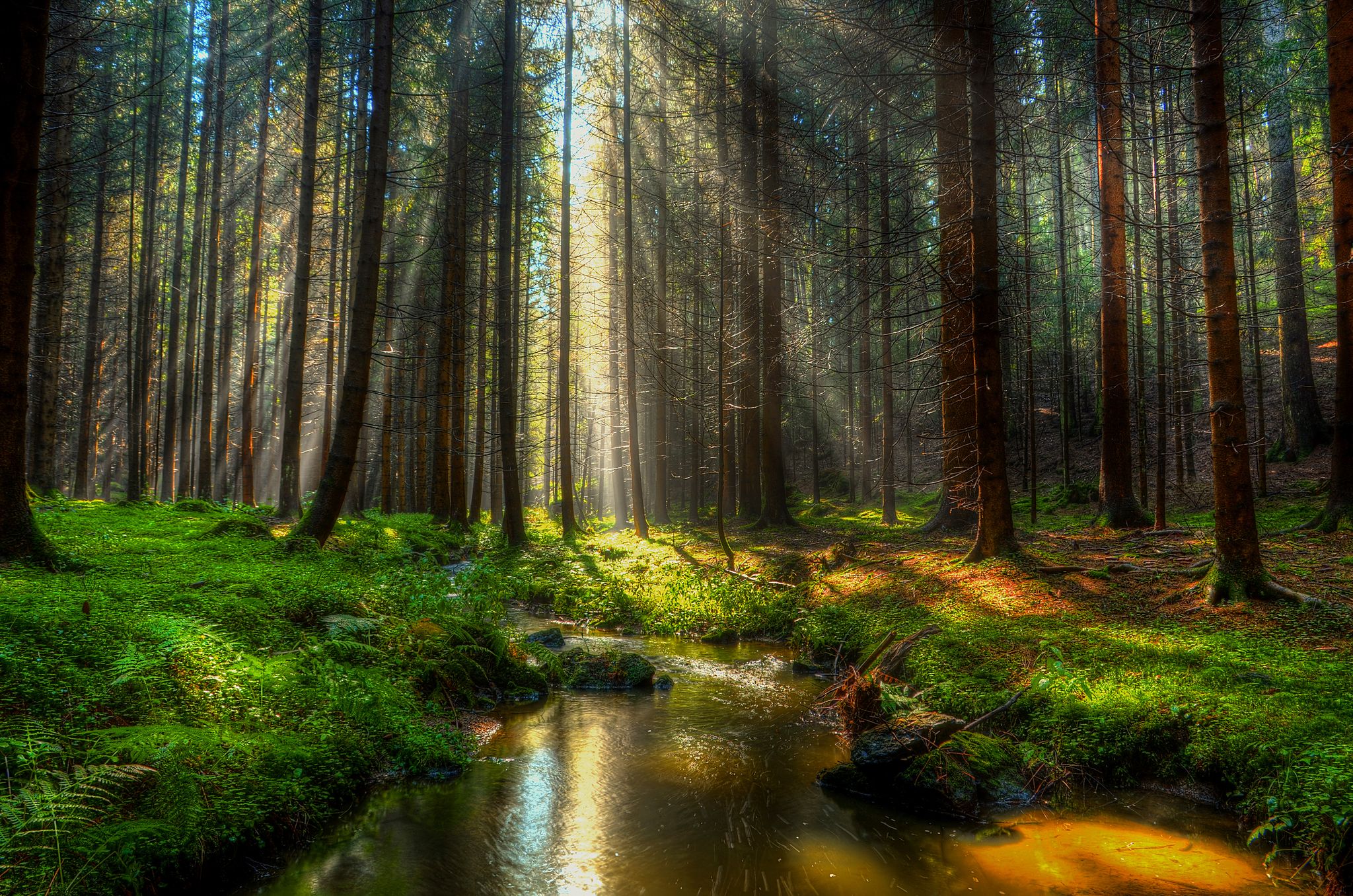
Experience nature at every turn – Forest Sea Trails in the Upper Palatinate Forest
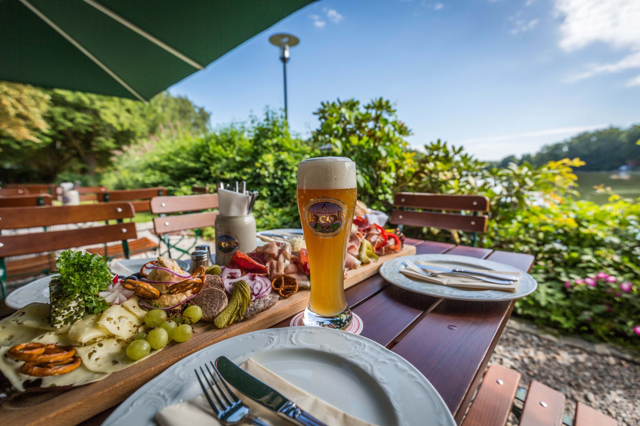
Hiking to the Inns — culinary hikes in the Upper Palatinate Forest
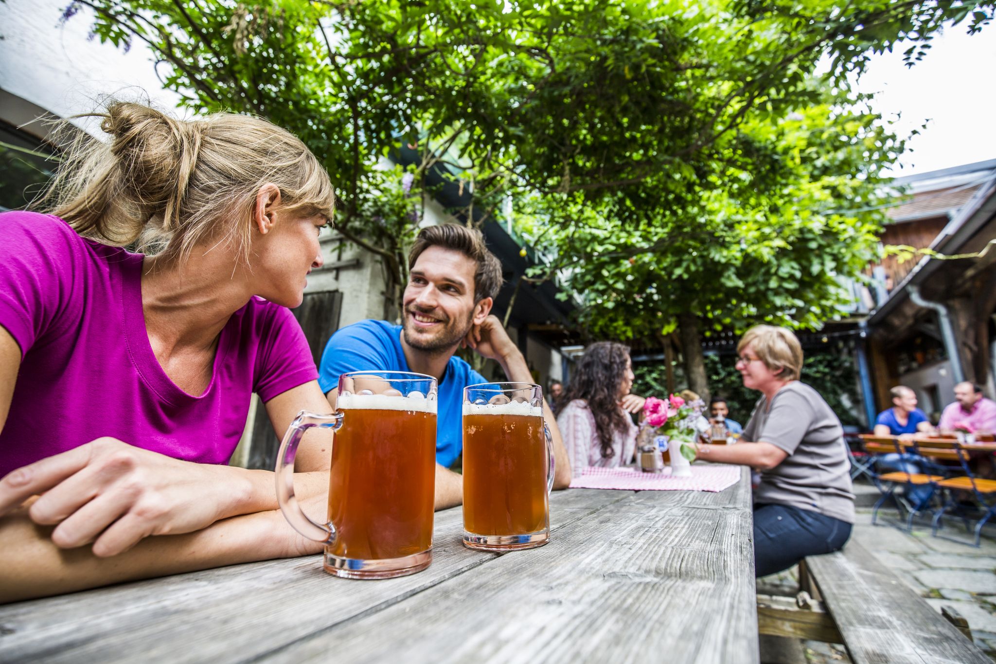
The Zoiglwirte and local breweries – Enjoy hiking and beer in the Oberpfälzer Wald
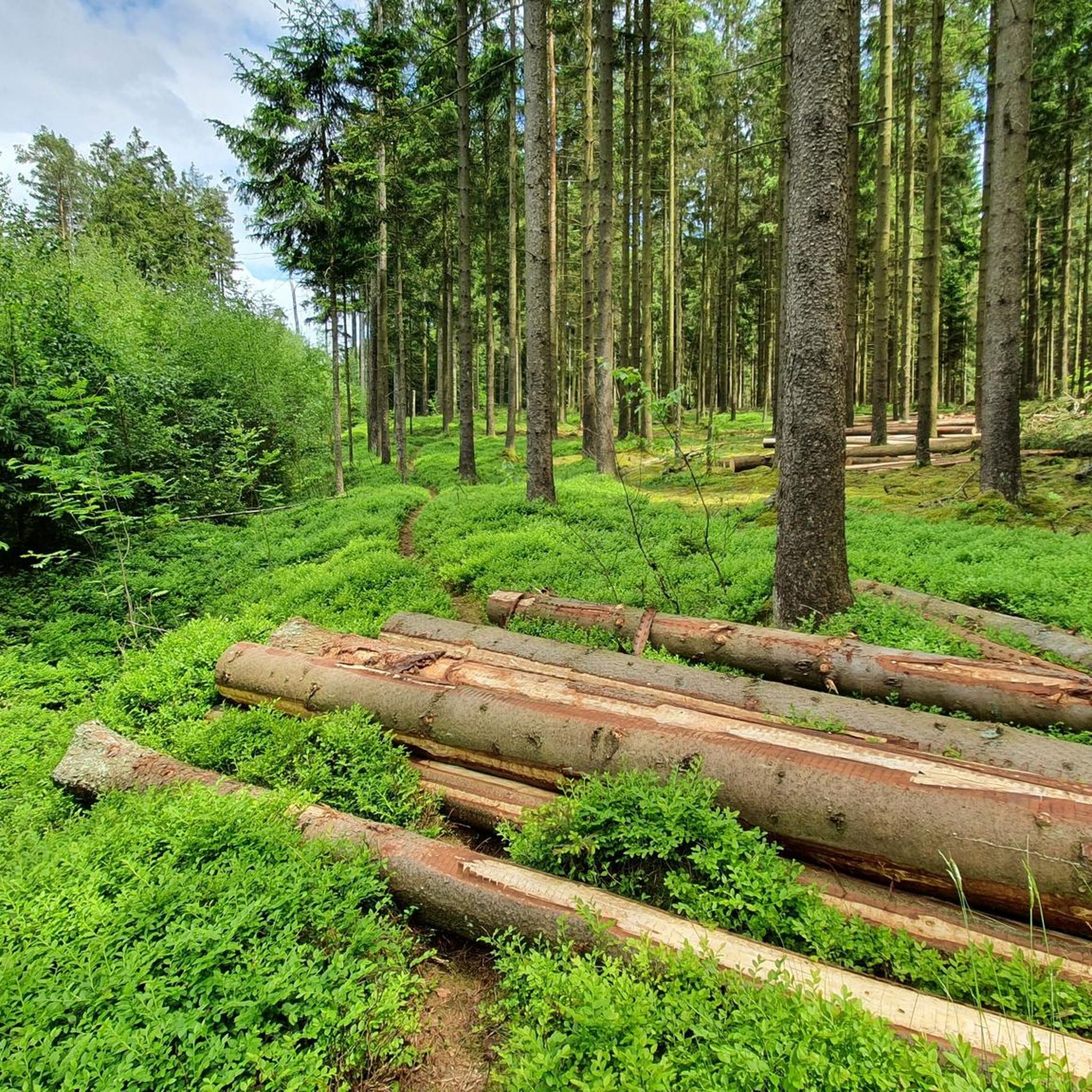
Hiking around Georgenberg
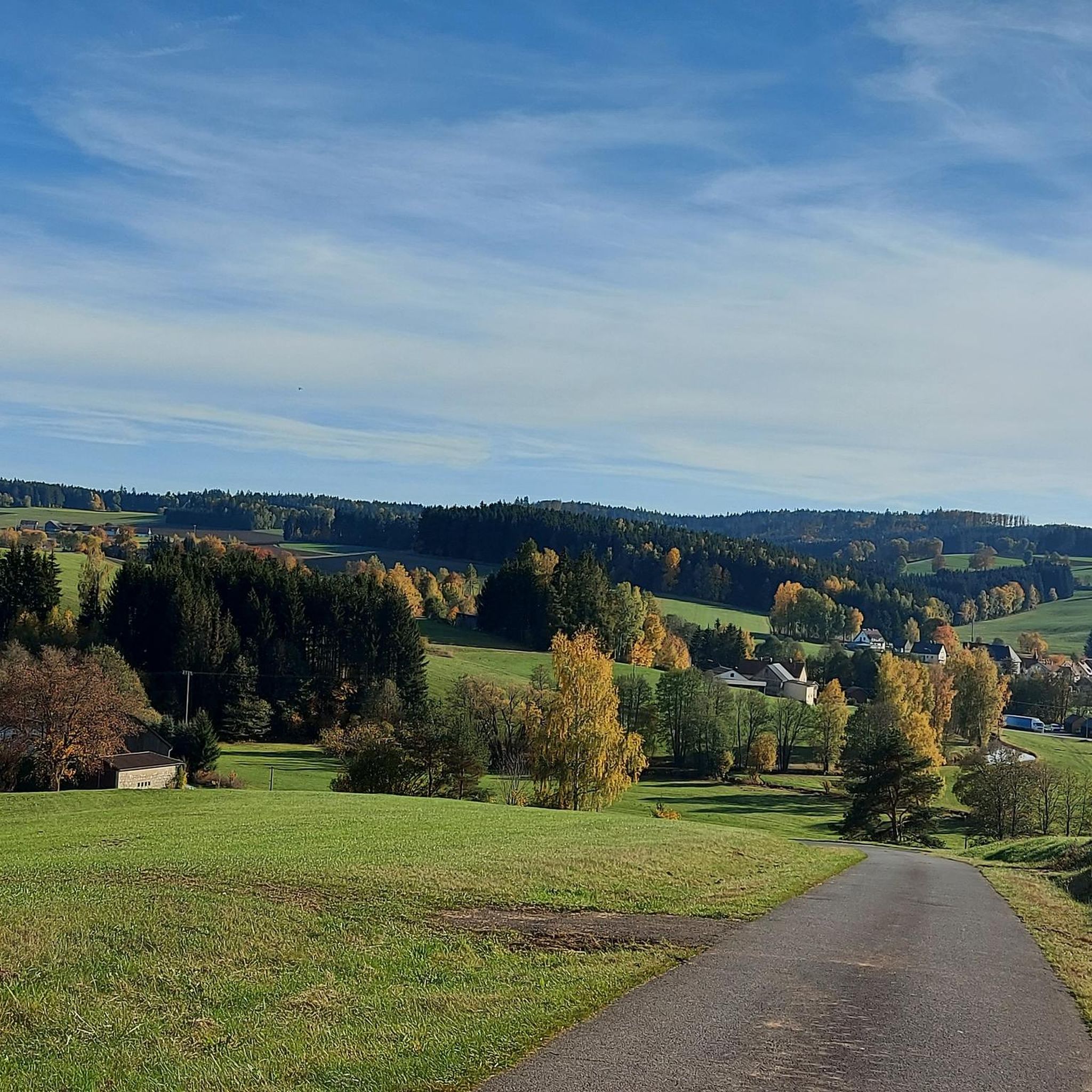
Cycling around Georgenberg
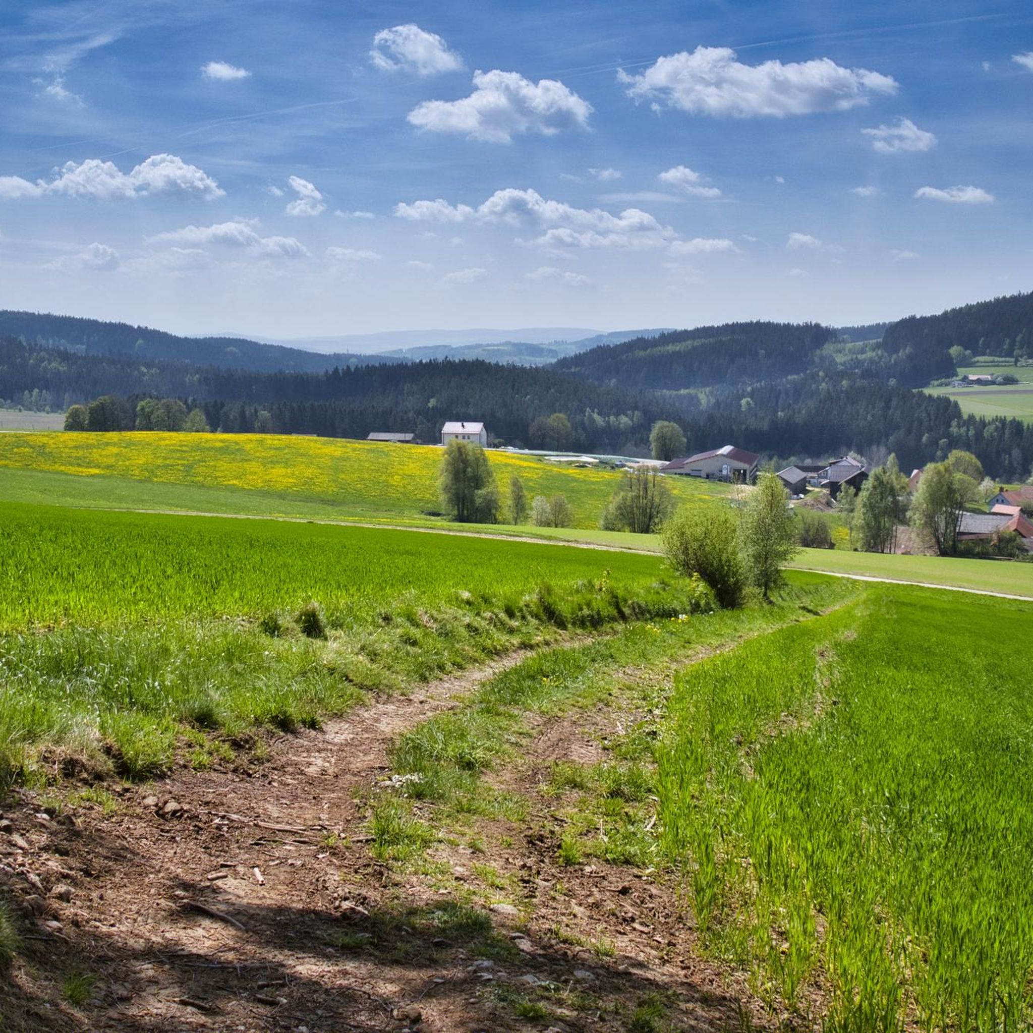
MTB Trails around Georgenberg
Road Cycling Routes around Georgenberg
Other adventures around Georgenberg


Tips from the Community

A great resting place where it's fun to relax!
1
0

Wonderful stretches of trail in a magnificent landscape
0
0

A beautiful recreational area with many possibilities and always a nice destination for cycling or hiking
0
0

beautiful resting place with seating and map
1
0

The site is located directly on Bockl-Weg.
1
0
A very beautiful church. Riding up by bike is rather difficult, so it's better to leave it at the lovely town pond and walk to the church.
1
0

The route from Neustadt to Hammerharlesberg follows the historic traces of the Old Magdeburg Road: https://www.wikiwand.com/de/articles/Magdeburger_Stra%C3%9Fe_(Altstra%C3%9Fe)
0
0

A very nice and well-kept rest area that always invites you to take a break
1
0
Frequently Asked Questions
How many gravel bike trails are available around Georgenberg?
There are over 40 gravel bike trails around Georgenberg, offering a wide range of options for different skill levels. You'll find a good mix of moderate and more challenging routes to explore the Upper Palatinate region.
What kind of terrain can I expect on gravel bike routes in Georgenberg?
Gravel biking in Georgenberg features diverse terrain, from rolling low mountains and extensive forest roads to paths winding through unique geological formations. Expect a mix of surfaces, including sections of the Bockl Cycle Path, and routes that navigate around granite boulder fields, especially in areas like the Doost Nature Reserve.
Are there any family-friendly gravel trails in Georgenberg?
While specific 'family-friendly' designations aren't always explicit, many of Georgenberg's 18 moderate trails are suitable for families with some cycling experience. Routes that incorporate sections of established cycle paths, like the Bockl Cycle Path, often provide smoother, less technical riding. Always check the route details for elevation and surface conditions to ensure it matches your family's ability.
What natural features can I see along the gravel bike trails?
You can encounter several unique natural features. The Upper Palatinate region is known for its dense forests and low mountains. A highlight is the Doost Nature Reserve, with its impressive granite boulder fields along the Girnitz stream. Many routes also offer views of the Entenbühl mountain.
Are there any viewpoints or landmarks to visit on a gravel bike tour?
Yes, several points of interest offer great views or historical context. You could ride towards the Havran Observation Tower for panoramic vistas, or explore the area around the Haselstein castle site. The Entenbühl Summit and Hubertus Chapel also provide rewarding views after a climb.
What do other gravel bikers enjoy most about Georgenberg?
The gravel biking experience around Georgenberg is highly rated by the komoot community, with an average score of 4.5 stars. Riders often praise the varied terrain, the tranquility of the forest paths, and the unique natural landscapes like the granite boulder fields. The mix of moderate and challenging routes also caters to a broad range of abilities.
Are there any circular gravel routes available?
Yes, many of the gravel routes around Georgenberg are designed as loops. For example, the View of Pleystein – View of Pleystein loop from Vohenstrauß offers a moderate 27.2 km ride, and the View of Pleystein – View of Pleystein loop from Pleystein (VGem) is another popular 27.0 km option. These circular routes allow you to start and finish at the same point, making logistics easier.
What is the difficulty level of gravel biking in Georgenberg?
Georgenberg offers a good mix of difficulty levels. You'll find 18 moderate trails, which are suitable for most gravel bikers, and 22 more difficult routes for those seeking a greater challenge. The terrain includes both smoother cycle path sections and more rugged forest paths with varied elevation.
Can I find routes that combine gravel biking with historical sites?
Absolutely. The region's history is woven into its landscape. While gravel biking, you might pass by or have views of sites like the Haselstein castle site or the Pilgrimage Church of the Visitation of Mary. Routes often blend natural beauty with cultural points of interest, offering a richer experience.
Are there any longer gravel routes for experienced riders?
Yes, for experienced riders looking for a longer challenge, the View of Pleystein – Bockl Cycle Path loop from Vohenstrauß is a popular choice. This moderate route covers 44.7 km and incorporates varied surfaces, including sections of the Bockl Cycle Path, providing a substantial ride through the region's diverse landscapes.
What are some unique geological features to look out for?
The most unique geological feature is the Doost Nature Reserve, often referred to as a 'sea of boulders.' Here, you'll find numerous large, rounded granite boulders along the Girnitz stream and on flat valley slopes. Routes through this area offer a fascinating glimpse into the erosive forces on granite and a truly distinctive landscape.
Is there a route that goes through a nature park?
Yes, the Waldnaab Bike Path – Path to Vierlingsturm loop from Naturpark Nördlicher Oberpfälzer Wald is a moderate 23.1 km route that navigates directly through the Naturpark Nördlicher Oberpfälzer Wald. This trail offers beautiful forest sections and views towards the Vierlingsturm, immersing you in the protected natural environment.
Most popular routes around Georgenberg
Most popular attractions around Georgenberg

Get inspired with the komoot mobile app


Explore more
Browse the best Gravel rides in other regions.
