The best gravel rides around Breitengüßbacher Forst
4.7
(11)
120
riders
37
rides
Gravel bike trails around Breitengüßbacher Forst are characterized by extensive forested areas and a network of forest roads. This unincorporated area within the Lichtenfels district of Upper Franconia offers varied terrain suitable for gravel biking. The region, including the broader Itztal and Landkreis Bamberg, is recognized for its gravel riding potential, featuring both challenging climbs and scenic trails. Nearby landmarks like the Staffelberg provide expansive views over the surrounding landscapes, integrating natural features into many routes.
Best gravel bike trails…
Last updated: August 27, 2026
9
riders
38.8km
02:53
310m
310m
Hard gravel ride. Good fitness required. You may need to push your bike for some segments of this route.
5.0
(1)
4
riders
27.7km
01:52
450m
450m
Hard gravel ride. Very good fitness required. Mostly paved surfaces. Suitable for all skill levels.

Sign up for free
5.0
(1)
10
riders
Moderate gravel ride. Good fitness required. Mostly paved surfaces. Suitable for all skill levels.
4.5
(2)
7
riders
29.9km
01:47
380m
380m
Moderate gravel ride. Good fitness required. Mostly paved surfaces. Suitable for all skill levels.
9
riders
45.2km
02:27
360m
360m
Moderate gravel ride. Good fitness required. Mostly paved surfaces. Suitable for all skill levels.
Get access to more routes and recommendations from other explorers.
Sign up for free
Already have an account?
Our route recommendations are based on thousands of hikes, rides, and runs completed by other people on komoot.
Start today with a free account
Your next adventure awaits.
Login or Signup
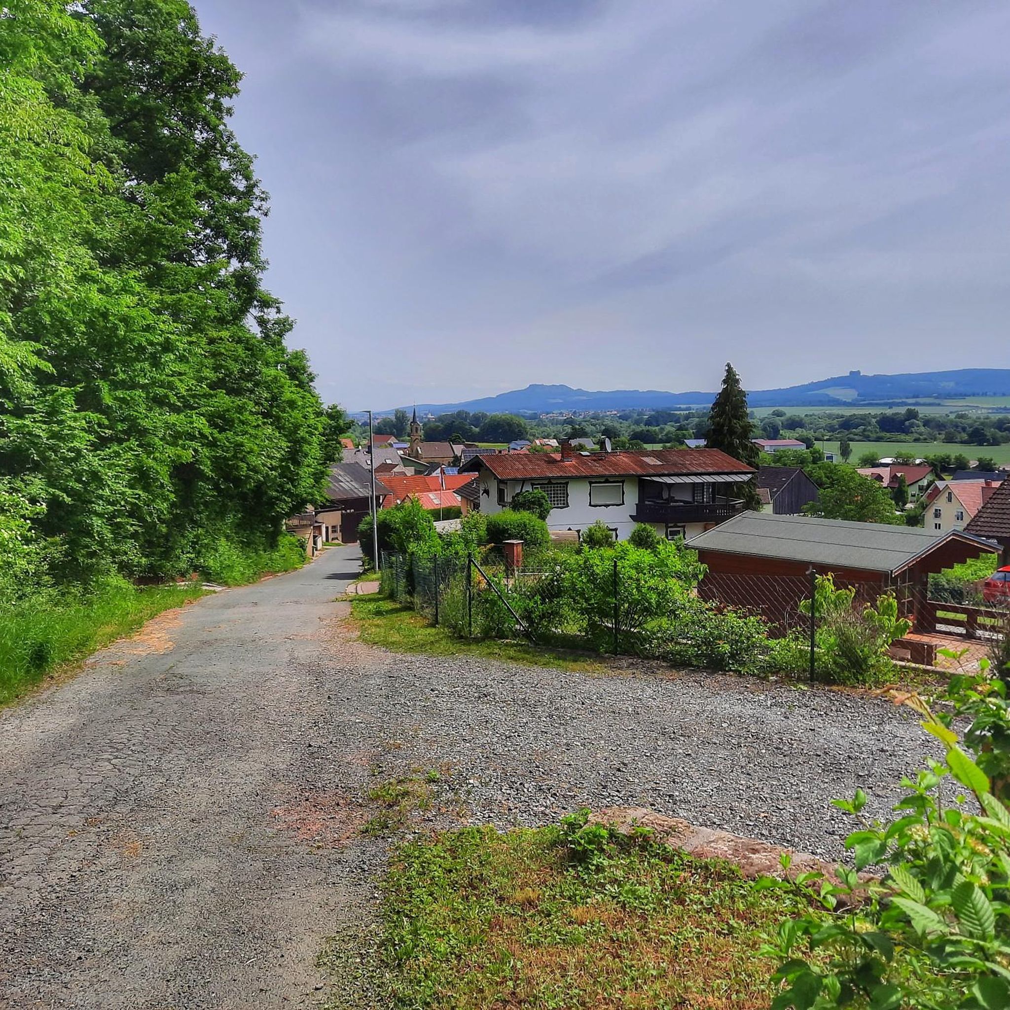
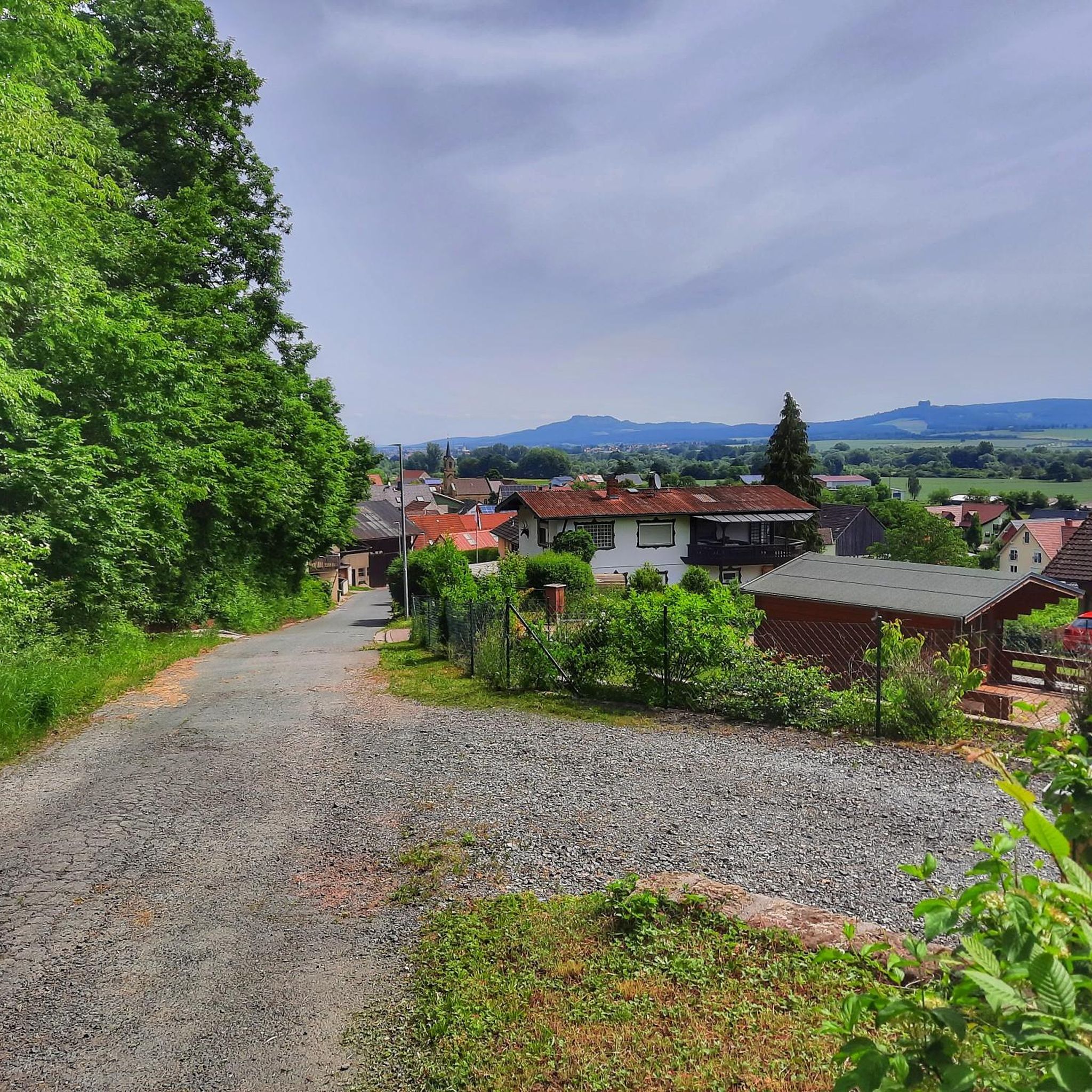
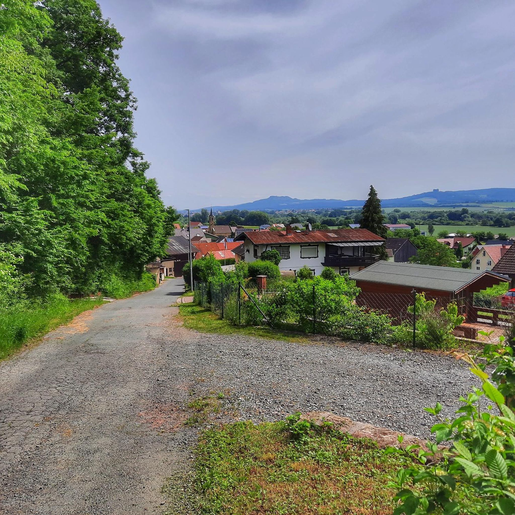
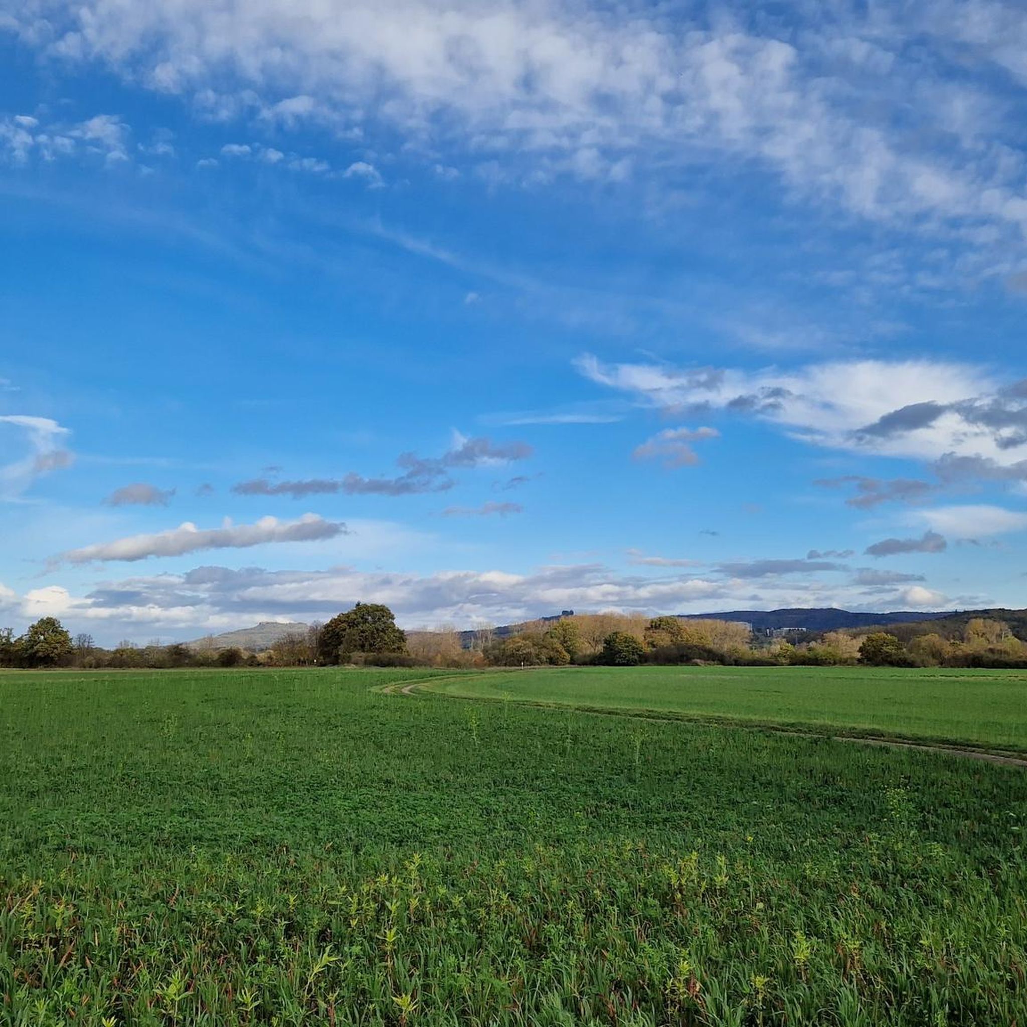
Tips from the Community

The ensemble within the 14th and 15th century fortification ring developed from the earliest mention of the present settlement around 800. The town parish church of St. Kilian was founded centrally within it even before 1007. In 1130, the settlement received market rights, a good 250 years later full jurisdiction. From 1422, the town's fortifications were built. In 1473, the town burned down, including the parish church and the town hall. In the Thirty Years' War, in 1684, almost the entire place fell prey to the flames again. The symbol of the subsequent reconstruction is the town hall from 1686/87. Of particular importance is the cohesive appearance of the buildings, which is shaped by the reconstruction after the town fire of 1684. These typically include two-storey front houses, often with gables facing the street, featuring decorative half-timbering on the upper floor. In addition to wall remnants, the Bamberger Torturm gate tower, dating back to the 16th century in its core, has been preserved from the town's fortifications.
7
0

A small, well-kept village. For a hearty snack with home-brewed beer, head to the Metzgerbräu. Or to the "Grüner Baum" near the church (Thursdays to Sundays from 4 pm or Sunday morning drinks with Merkendorf beer).
0
0


The Baunach River flows downstream into the Main River. Surrounding the area are gravel pits.
3
0

These Mainauen are well done.
5
1
This perspective is successful.
4
0
There should be more such facilities.
4
0

very beautiful paths on this route
1
0
Frequently Asked Questions
How many gravel bike trails are available in Breitengüßbacher Forst?
There are over 50 gravel bike trails in Breitengüßbacher Forst, offering a wide range of options for different skill levels. You'll find a balanced mix of moderate and difficult routes to explore the extensive forested areas.
What kind of terrain can I expect on gravel bike trails in Breitengüßbacher Forst?
The terrain in Breitengüßbacher Forst is characterized by dense woodlands and a network of forest roads. You can expect varied surfaces, from well-maintained gravel paths to more challenging sections, often featuring climbs and scenic trails. The region is known for its diverse natural environment, making for an engaging ride.
Are there any family-friendly gravel bike routes in Breitengüßbacher Forst?
While many routes in Breitengüßbacher Forst are rated moderate to difficult, the area does offer options that can be enjoyed by families looking for a less strenuous ride. Look for routes with lower elevation gains and shorter distances. It's always a good idea to check the route details for specific difficulty ratings and terrain before heading out with children.
What are some notable landmarks or viewpoints along the gravel bike trails?
The region offers several scenic viewpoints and historical sites. For expansive views, consider routes that pass near the Staffelberg, a prominent highlight in the area. You might also encounter historical sites like Burgstall Steglitz Ruins or various castles such as Rentweinsdorf Castle and Unterleiterbach Castle, which add historical context to your ride.
What do other gravel bikers say about the trails in Breitengüßbacher Forst?
The gravel bike trails in Breitengüßbacher Forst are highly rated by the komoot community, with an average score of 4.5 stars from over 19 reviews. Riders often praise the quiet woodlands, varied terrain, and the opportunity to explore the natural beauty of Upper Franconia. Over 160 gravel bikers have already used komoot to discover the area.
Is there a route that offers views of the Main Valley?
Yes, you can find routes that provide beautiful views of the Main Valley. For example, the View of the Main Valley – Küpser Linde loop from Bad Staffelstein is a moderate 29.8 km trail that offers scenic vistas of the valley.
Are there any circular gravel routes available?
Many of the gravel bike trails in Breitengüßbacher Forst are designed as loops, allowing you to start and end at the same point. An example is the challenging View of Tiefenellern – Eulenstein Rock Formation loop from Breitengüßbach, which covers nearly 50 km and includes views of the Eulenstein Rock Formation.
What is the best time of year for gravel biking in Breitengüßbacher Forst?
The extensive forested areas of Breitengüßbacher Forst are enjoyable throughout much of the year. Spring and autumn offer pleasant temperatures and beautiful scenery with changing foliage. Summer can also be great, especially on shaded forest paths. Always check local weather conditions before your ride.
Where can I find parking for gravel biking in Breitengüßbacher Forst?
While specific parking areas aren't detailed in every route description, as a general rule for forested regions, look for designated parking lots at trailheads or near popular access points to the forest. Many villages surrounding the Forst, such as Breitengüßbach or Kleukheim, may offer suitable parking options.
Are there any routes that connect to the Main Valley?
Yes, some routes connect the forested areas with the Main Valley. A challenging option is Vom Kelbachgrund ins Maintal – Radeln im Obermain.Jura, a 38.8 km trail that links the Kelbachgrund with the Main Valley, offering varied terrain for gravel bikers.
Are there any places to stop for refreshments or a break along the trails?
While the guide doesn't list specific cafes directly on every trail, the region around Breitengüßbacher Forst has several huts and inns that can serve as good stopping points. For example, the Staffelberg Inn is a popular spot, and you might find other huts like Raidelhütte or Haus am Dornig in the broader area. Villages surrounding the forest also offer cafes and restaurants.
What is the difficulty level of most gravel bike trails in Breitengüßbacher Forst?
The gravel bike trails in Breitengüßbacher Forst are evenly split between moderate and difficult ratings. You'll find 28 moderate and 28 difficult routes, indicating that the area caters to riders looking for a good challenge with significant elevation changes, as well as those preferring a slightly less demanding but still engaging ride.
Most popular routes around Breitengüßbacher Forst
Most popular attractions around Breitengüßbacher Forst

Get inspired with the komoot mobile app


Explore more
Browse the best Gravel rides in other regions.
