The best gravel rides around Kraftshofer Forst
4.5
(1548)
7,301
riders
490
rides
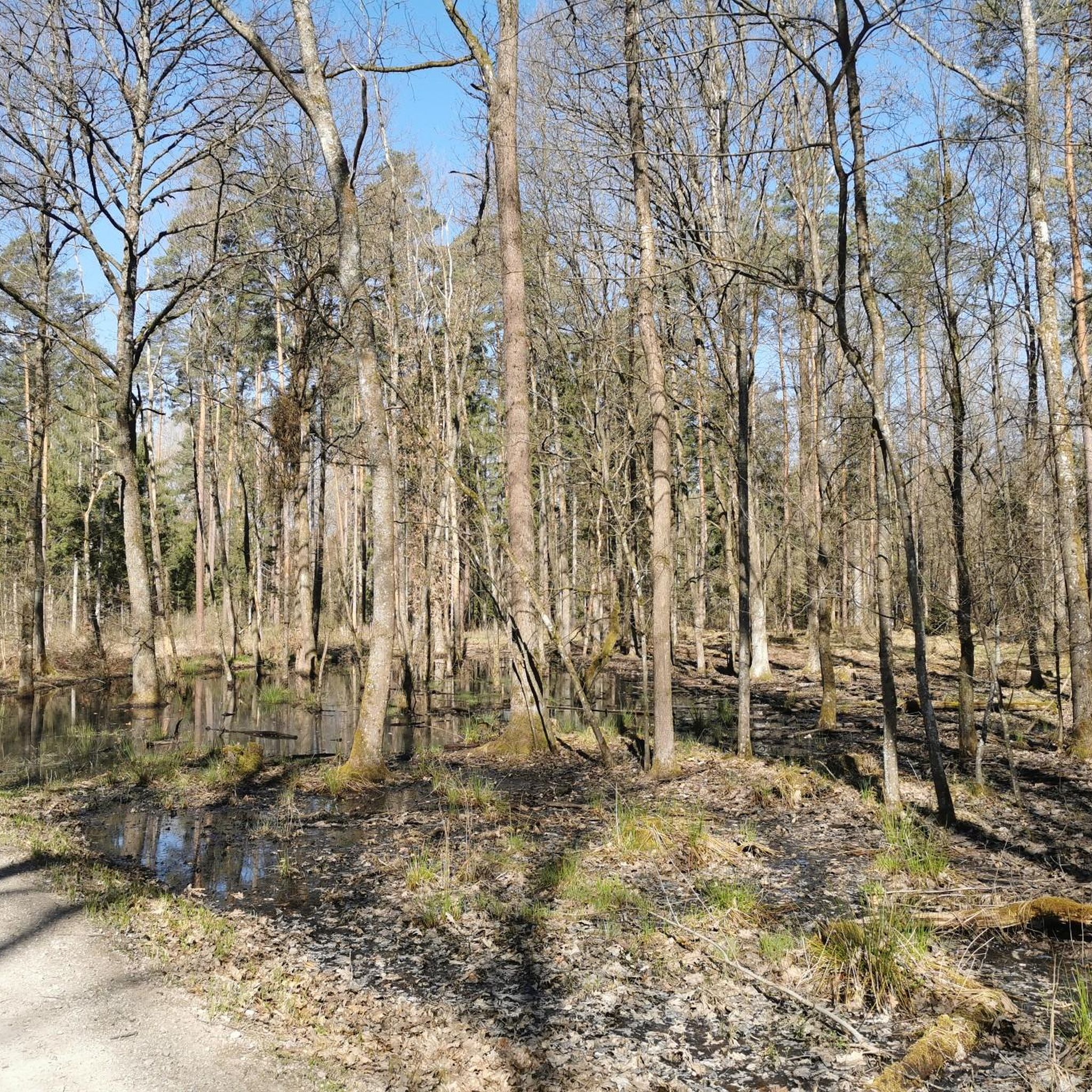
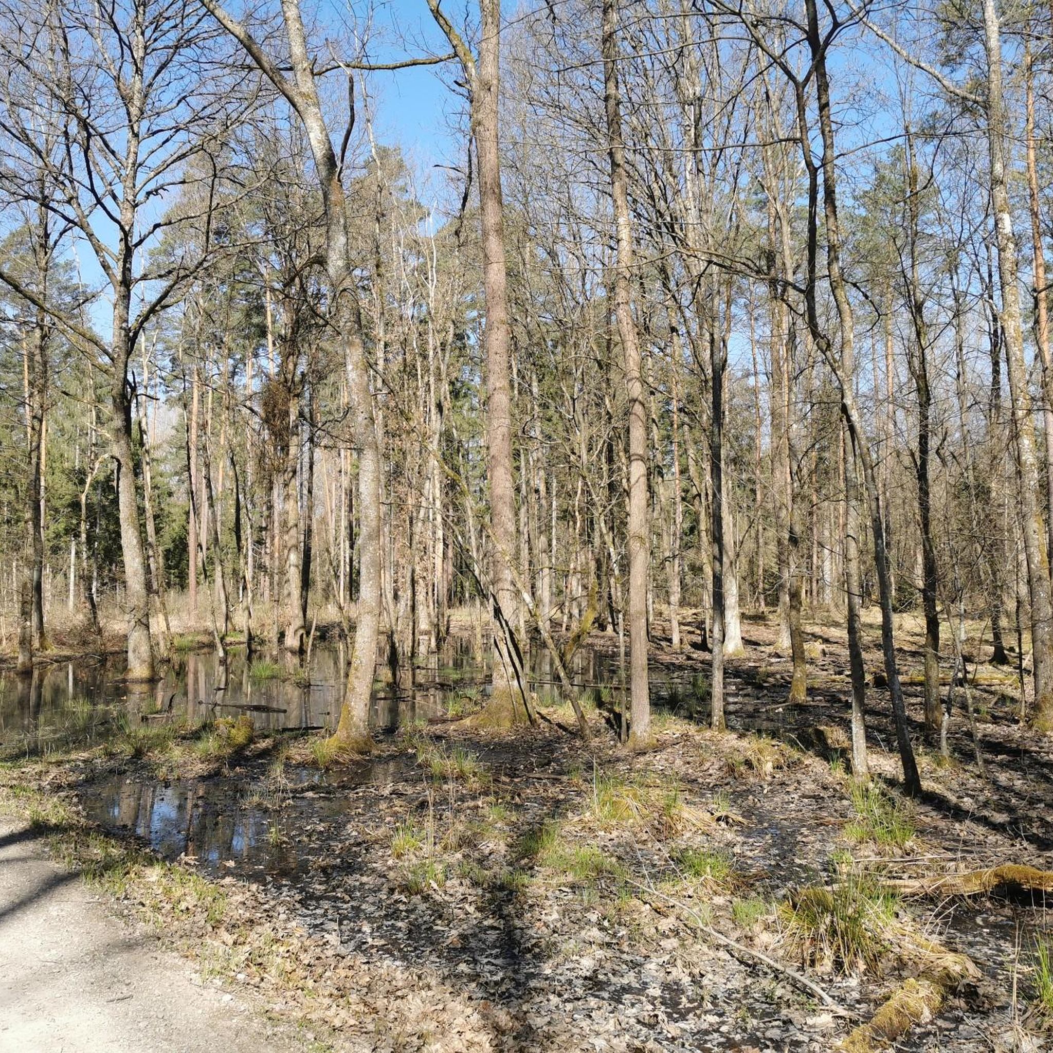
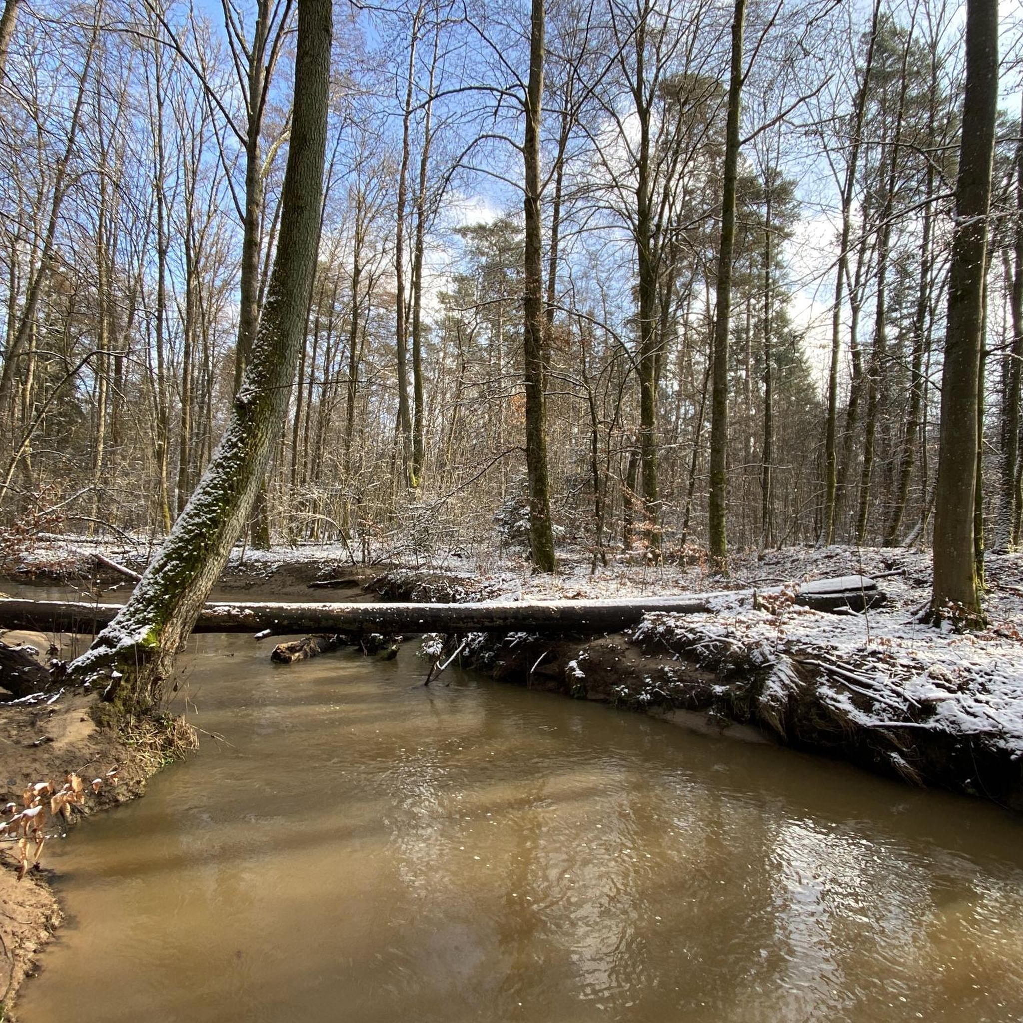
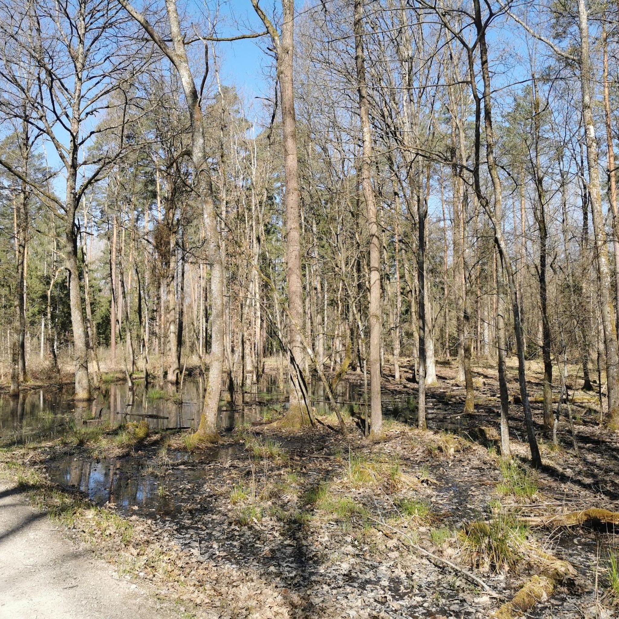
Gravel biking around Kraftshofer Forst is characterized by extensive woodlands and gently rolling terrain, offering a mix of forest paths and open sections. The region features moderate elevation changes, making it suitable for various skill levels. As part of the larger Sebalder Reichswald, it includes the Gründlach River and Buchenbühl, which at 390.8 meters above sea level, introduces varied elevation. Located near urban areas, it provides accessible routes through natural landscapes.
Best gravel bike trails around Kraftshofer Forst
- The most…
Last updated: July 3, 2026
4.7
(15)
55
riders
Easy gravel ride. Great for any fitness level. Mostly paved surfaces. Suitable for all skill levels.
4.4
(54)
133
riders
38.2km
02:00
250m
250m
Moderate gravel ride. Good fitness required. Mostly paved surfaces. Suitable for all skill levels.

Sign up for free
5.0
(1)
27
riders
32.8km
01:45
130m
140m
Easy gravel ride. Great for any fitness level. Mostly paved surfaces. Suitable for all skill levels.
4.0
(5)
30
riders
Moderate gravel ride. Good fitness required. Mostly paved surfaces. Suitable for all skill levels.
3.9
(7)
31
riders
23.6km
01:14
70m
70m
Easy gravel ride. Great for any fitness level. Mostly paved surfaces. Suitable for all skill levels.
Get access to more routes and recommendations from other explorers.
Sign up for free
Already have an account?
Our route recommendations are based on thousands of hikes, rides, and runs completed by other people on komoot.
Start today with a free account
Your next adventure awaits.
Login or Signup
Tips from the Community

Very nice trail, easy to ride S0/S1
1
0

beautiful path to the spring
0
0
Beautiful cycle path uphill to the rock cellar in Kalchreuth, on the right-hand side opposite the sports field.
0
0

The quarry was first mentioned around 1600 and supplied high-quality sandstone for construction in Nuremberg and Erlangen. It remained in active operation until 1912. Later, a popular tourist destination developed there, complete with an inn, which was demolished by the US military after World War II. Today, remnants of the old rock cellar still remain.
5
0

Quack competition - Who quacks better? 🦆 or 🐸?
0
0

The bus stop with the book selection always offers a nice rest area.
0
1


Frequently Asked Questions
How many gravel bike trails are available in Kraftshofer Forst?
Kraftshofer Forst offers a wide selection of gravel bike trails, with over 560 routes recorded on komoot. This includes a diverse mix of easy, moderate, and difficult options to suit various skill levels.
What is the general difficulty level for gravel biking in Kraftshofer Forst?
The gravel biking trails around Kraftshofer Forst are characterized by gently rolling terrain and moderate elevation changes. While there are 96 easy routes and 144 difficult ones, the majority (320 routes) fall into the moderate category, making it suitable for a broad range of riders.
Are there any beginner-friendly gravel bike routes in the area?
Yes, Kraftshofer Forst has nearly 100 easy gravel bike routes. A great option for beginners is the Franconian Marian Trail – Ironman loop from Ziegelstein, which is 14.1 miles (22.7 km) long and provides a smoother ride through the local scenery.
Are there any challenging gravel bike trails around Kraftshofer Forst?
For those seeking a challenge, Kraftshofer Forst offers 144 difficult gravel bike routes. One such route is the View of Nuremberg – View of Nuremberg loop from Heroldsberg, which covers 20.3 miles (32.7 km) and features significant elevation changes, including over 1,180 feet (360 meters) of ascent.
What kind of scenery can I expect on the gravel bike trails?
The region is defined by dense woodlands, river valleys, and gentle hills. Many routes offer a mix of forest paths and open sections, providing varied landscapes. You'll experience extensive woodlands and natural landscapes throughout your ride.
Are there any circular gravel bike routes available?
Yes, many of the gravel bike routes in Kraftshofer Forst are designed as loops. For example, the popular Kalchreuther Berg – Pear Tree with Rest Area loop from Herrnhütte is a 23.6-mile (38.1 km) circular trail that navigates through varied forested landscapes.
What are some interesting landmarks or attractions near the gravel bike trails?
Beyond the trails, the area around Kraftshofer Forst offers several interesting attractions. You can explore natural features like the Bowl Rock, or delve into history at the Historic Rock-Cut Cellars of Nuremberg. For a unique experience, visit the Bat cellar on Bierweg.
Are there any lakes or water features accessible from the gravel routes?
Yes, the region features several lakes that can be incorporated into your rides or visited nearby. Notable options include Wöhrder Lake and the Great Dutzendteich, both offering scenic spots to relax by the water.
What do other gravel bikers enjoy most about Kraftshofer Forst?
The area is highly rated by the komoot community, with an average score of 4.5 stars from over 1,500 reviews. Reviewers often praise the varied terrain, the extensive network of paths, and the accessibility of natural landscapes close to urban areas.
Is there a route that follows a river valley?
Yes, the Pegnitz Valley West Cycle Path – Max Bridge, Nuremberg loop from Flughafen is a 28.7-mile (46.2 km) trail that leads through the scenic Pegnitz Valley, offering a pleasant ride along the river.
What is a good moderate-difficulty route for gravel biking?
A solid moderate option is the Weißensee Picnic Area – Cycle path along the Pegnitz loop from Herrnhütte. This route is 20.3 miles (32.7 km) long with around 390 feet (119 meters) of elevation gain, providing a balanced challenge.
Most popular routes around Kraftshofer Forst
Most popular attractions around Kraftshofer Forst

Get inspired with the komoot mobile app


Explore more
Browse the best Gravel rides in other regions.
