The best gravel rides around Stadlern
4.6
(20)
31
riders
3
rides
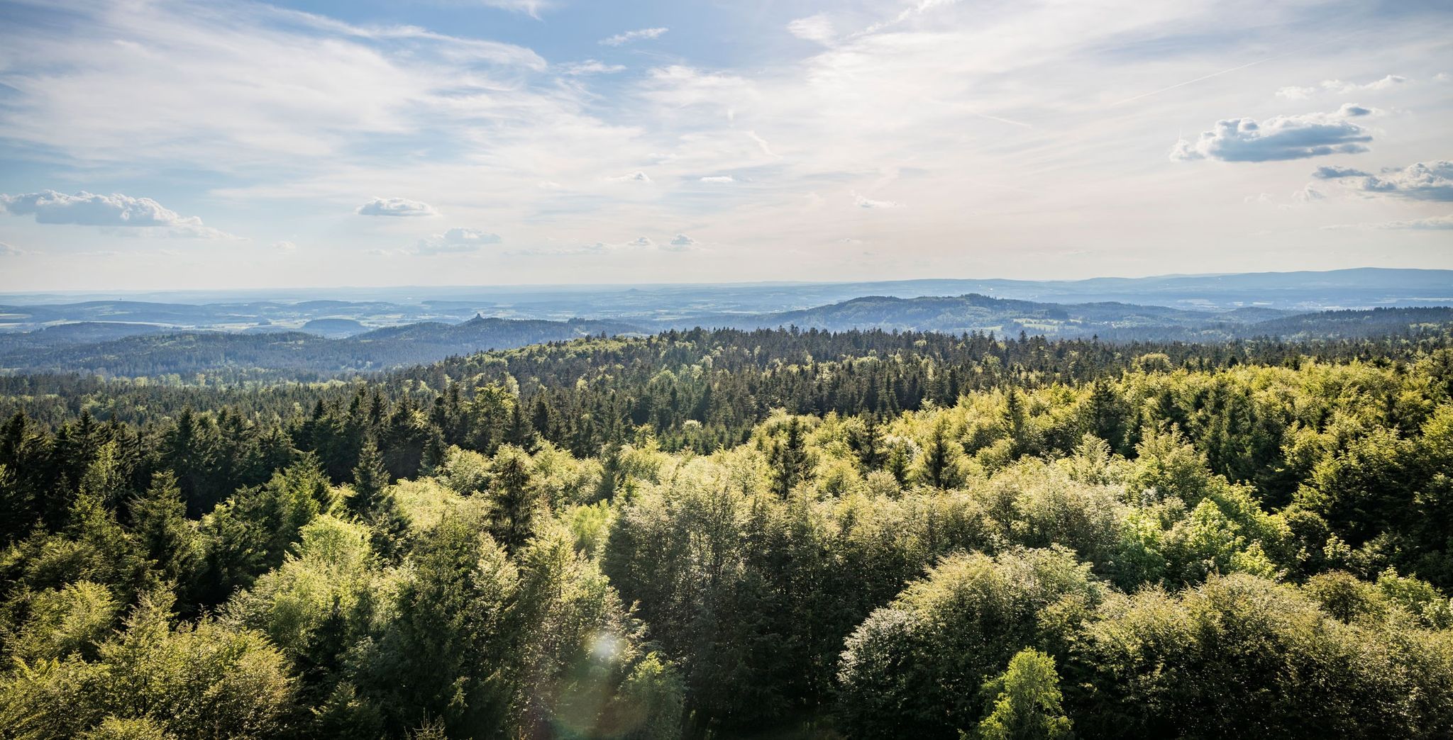
Gravel biking around Stadlern offers routes through a landscape characterized by rolling hills, dense forests, and open countryside. The region, situated near the German-Czech border, features a mix of natural and historical points of interest. Gravel bike trails here often traverse quiet country roads, forest paths, and former border trails. The elevation changes are generally moderate, providing a varied riding experience without extreme climbs.
Best gravel bike trails around Stadlern
- The most popular gravel bike trail is Sculpture at the…
Last updated: July 2, 2026
3.0
(1)
4
riders
19.6km
01:12
270m
270m
Moderate gravel ride. Good fitness required. Mostly paved surfaces. Suitable for all skill levels.
5.0
(1)
3
riders
21.0km
01:19
380m
380m
Moderate gravel ride. Good fitness required. Mostly paved surfaces. Suitable for all skill levels.

Sign up for free
5.0
(1)
1
riders
34.2km
02:17
380m
380m
Moderate gravel ride. Good fitness required. Mostly paved surfaces. Suitable for all skill levels.
Our route recommendations are based on thousands of hikes, rides, and runs completed by other people on komoot.
Start today with a free account
Your next adventure awaits.
Login or Signup
Other adventures around Stadlern

Tips from the Community


Give the little legs a break.,.....
1
0

Železná (German: Eisendorf) lies directly on the Czech-German border and, together with Tillyschanz on the German side, forms a border crossing. State road 2155 comes from Eslarn through Tillyschanz, crosses the border into the Czech Republic, and continues there as road no. 197, which leads through Železná to Bělá nad Radbuzou (German: Weißensulz).
6
0

Honest cuisine, breathtaking views, and plenty of peace and quiet.
1
0

Long climb 12%, but the pub makes up for it 👍
0
0

At least the chapel was rebuilt.
2
0
It's unbelievable what the border closure has destroyed in village life.
0
0
The abandoned village of Bügellohe lies directly on the Czech border. It can only be reached on foot, via a hiking trail of about three kilometers. At an altitude of 852 meters, ruins of houses stand in a clearing and in the forest. What today attracts curious visitors as a "lost place" was once a settlement where up to 75 people lived after the Second World War: Sudeten Germans from Wenzelsdorf, just one kilometer away. They had retreated to the Bavarian mountain saddle in the winter of 1945/46 to avoid expulsion from Czechoslovakia. They owned land on the saddle, a piece of land that juts out into Bohemia like a bow. They wanted to wait there until they could return home. Over time, the makeshift emergency shelters in the abandoned village of Bügellohe became permanent houses. A settlement was built from materials that had to be laboriously carried through the forest from the village of Stadlern, four kilometers away, to Bügellohe. The hopes of the Bügelloh residents of returning to their old homeland were dashed. In 1950, the Prague government began razing Wenzelsdorf to the ground. Across the border, many Bügelloh residents gave up; life in isolation, without electricity or running water, was too hard. They moved away. Eventually, only one remained: Josef Licha. He, too, left Bügellohe in the fall of 1967.
21
0
Frequently Asked Questions
What kind of terrain can I expect on gravel bike trails around Stadlern?
The gravel bike trails in the Stadlern region traverse a diverse landscape of rolling hills, dense forests, and open countryside. You'll find yourself on quiet country roads, forest paths, and former border trails. The elevation changes are generally moderate, offering a varied riding experience without extreme climbs.
Are there gravel bike routes suitable for beginners in Stadlern?
While many routes in Stadlern are rated moderate to difficult, there are options that can be enjoyed by those with some gravel biking experience. For instance, the Bügellohe — Abandoned Village – Na Pleši Inn loop from Schönsee is a moderate 19.7 km route with manageable elevation, offering a good introduction to the area's gravel paths.
What is the typical length and duration of gravel bike routes in the Stadlern area?
Gravel bike routes around Stadlern generally range from approximately 18 to 35 kilometers in length. Most tours can be completed within 1.5 to 3 hours, depending on your pace and the specific route's elevation profile.
Are the gravel bike trails around Stadlern mostly circular routes?
Yes, many of the gravel bike routes in the Stadlern area are designed as circular loops, allowing you to start and finish at the same point. For example, the Na Pleši Inn – Friedrichshäng Border Crossing loop from Teufelstein is a popular circular option.
What are some scenic viewpoints or interesting landmarks along the gravel trails?
The region offers several points of interest. You can encounter historical sites like the Grafenried / Lučina – Abandoned Village Ruins or the Bügellohe — Abandoned Village. For panoramic views, consider routes that pass near the Böhmerwald Observation Tower or the Starý Herštejn Castle Ruins and Viewpoint.
What is the best time of year for gravel biking in Stadlern?
The best time for gravel biking in Stadlern is typically from spring through autumn. During these seasons, the weather is generally mild, and the trails are in good condition. While winter riding is possible, be prepared for colder temperatures and potentially snowy or icy conditions, especially on higher elevation or less maintained paths.
Are there any cafes or places to stop for refreshments along the gravel bike routes?
Yes, some routes pass by small villages or inns where you can find refreshments. The Na Pleši Inn – Friedrichshäng Border Crossing loop from Teufelstein, for instance, includes an inn along its path, offering a convenient stop during your ride.
What kind of gear should I bring for gravel biking in Stadlern?
Given the varied terrain, it's advisable to bring a gravel-specific bike with good tires suitable for both paved and unpaved surfaces. Essential gear includes a helmet, appropriate cycling apparel, water, snacks, a repair kit, and navigation tools. Layered clothing is recommended due to potential weather changes.
How do other gravel bikers rate the trails in Stadlern?
The gravel biking experience in Stadlern is highly regarded by the komoot community, with an average score of 4.0 stars from over 3 reviews. Riders often appreciate the mix of forested sections, open fields, and the historical sites encountered along the routes.
Are there any routes that feature lakes or water bodies?
Yes, some routes offer views of local lakes and dams. The Sculpture at the Perlsee – Perlsee Dam loop from Tiefenbach is a moderate route that provides scenic views of the Perlsee lake and its dam, winding through forested areas.
Where can I find parking for gravel biking in Stadlern?
Parking is generally available in or near the starting points of many routes, often in the small villages or designated parking areas. It's advisable to check the specific route details on komoot for recommended parking locations.
What are some historical sites or castles I can explore while gravel biking?
The region is rich in history. You can find several castle ruins, such as the Reichenstein Castle Ruins, Frauenstein Castle Ruins, and the Drachenturm (keep of the Treffelstein castle ruins), which add a historical dimension to your rides.
Most popular attractions around Stadlern

Get inspired with the komoot mobile app


Explore more
Browse the best Gravel rides in other regions.
