The best gravel rides around Grattersdorf
4.4
(8)
48
riders
8
rides
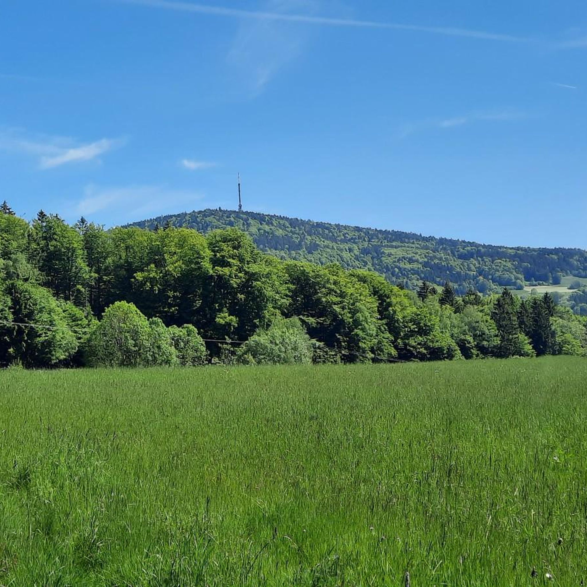
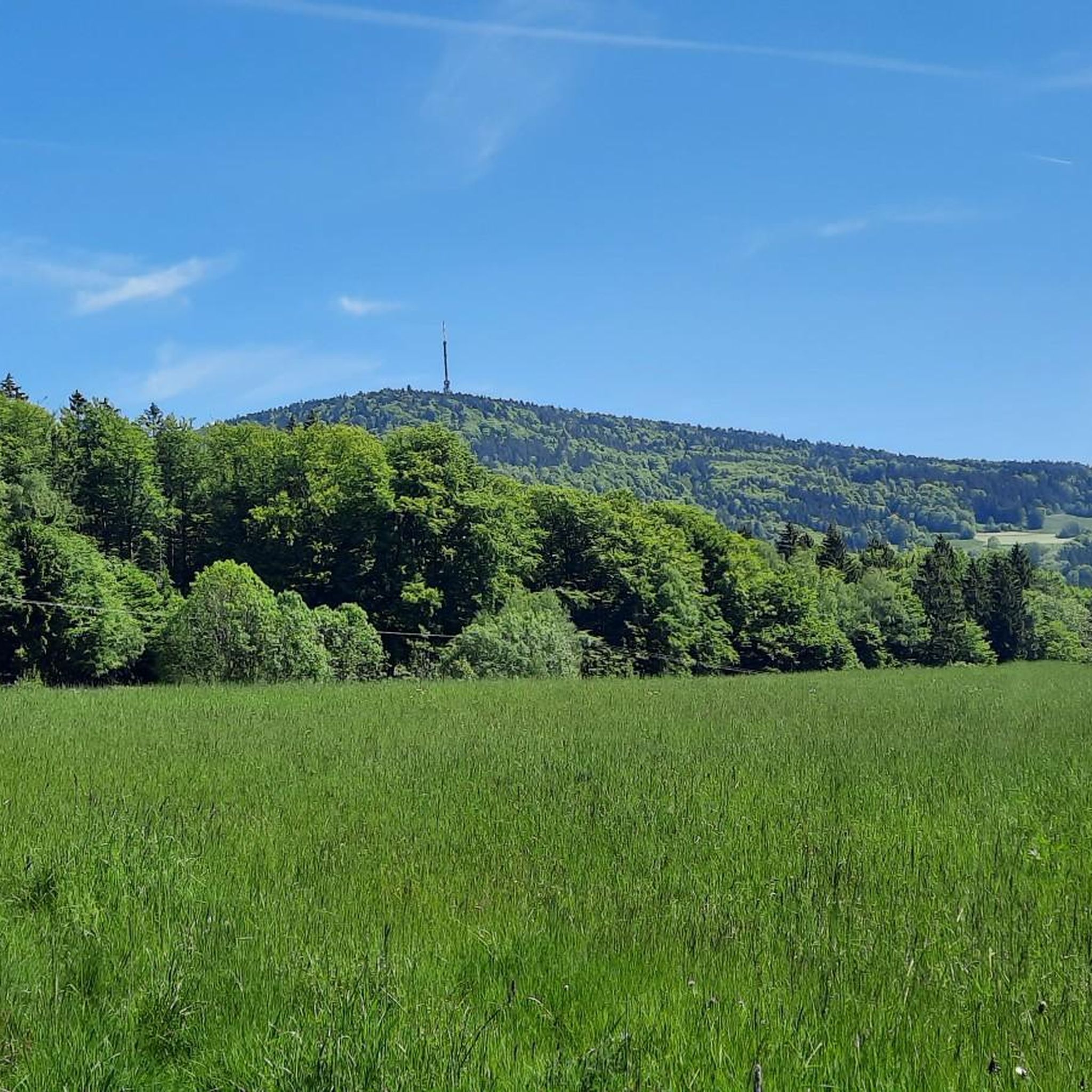
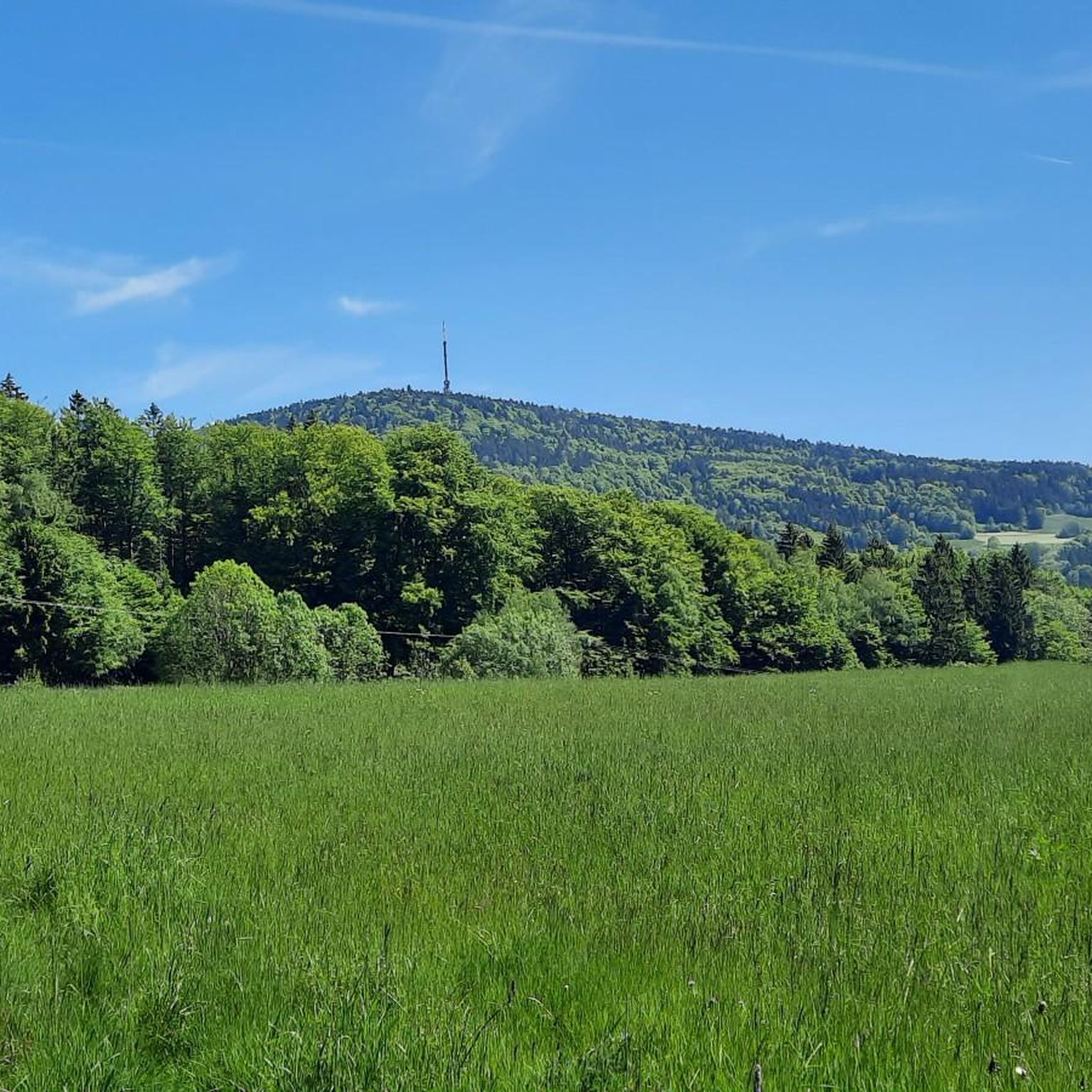
Gravel biking around Grattersdorf offers diverse terrain within the Bavarian Forest, characterized by rolling hills, dense forests, and scenic valleys. The region features a mix of elevated areas and valleys, providing varied elevation profiles suitable for gravel bikes. This landscape includes forest roads, gravel paths, and quieter paved sections, creating a rich environment for mixed-surface cycling. Prominent natural features like the Brotjacklriegel and Büchelstein summits offer challenging climbs and expansive views.
Best gravel bike trails around Grattersdorf
- The most popular gravel bike trail is Oberbreitenau Raised Bog – Landshuter House loop from Greising, a 12.5 miles (20.0 km) trail that takes 1 hour 21 minutes to complete. This moderate route explores a raised bog and forested areas.
- Another top favourite among local gravel bikers is Ohetal Cycle Path – Ohetal Cycle Path loop from Riggerding, a difficult 37.6 miles (60.4 km) path. This long route follows the Ohetal Cycle Path, offering extensive views of the valley.
- Local gravel bikers also love the Todtnauberg and Surroundings – Moor Pond in Todtenauer Moor loop from Kirchberg im Wald, a 11.2 miles (18.0 km) trail leading through moorland and forests, often completed in about 1 hour 41 minutes.
- Gravel biking around Grattersdorf is defined by rolling hills, dense forests, and prominent peaks. The network offers options for different ability levels, from moderate loops to more difficult, longer routes.
- The routes in Grattersdorf are highly rated by the komoot community with an average score of 5.0 stars from over 5 reviews. More than 30 gravel bikers have used komoot to explore Grattersdorf's varied terrain.
Last updated: July 2, 2026
4.0
(2)
16
riders
20.0km
01:19
330m
330m
Moderate gravel ride. Good fitness required. Mostly paved surfaces. Suitable for all skill levels.
4.8
(6)
25
riders
60.4km
03:32
550m
550m
Hard gravel ride. Very good fitness required. Mostly paved surfaces. Suitable for all skill levels.

Sign up for free
28.9km
02:23
700m
700m
Hard gravel ride. Very good fitness required. You may need to push your bike for some segments of this route.
2
riders
Moderate gravel ride. Good fitness required. Mostly paved surfaces. Suitable for all skill levels.
2
riders
17.3km
01:10
190m
190m
Moderate gravel ride. Good fitness required. Mostly paved surfaces. Suitable for all skill levels.
Get access to more routes and recommendations from other explorers.
Sign up for free
Already have an account?
Our route recommendations are based on thousands of hikes, rides, and runs completed by other people on komoot.
Start today with a free account
Your next adventure awaits.
Login or Signup
Tips from the Community


The Ohetal is always worth a detour
0
0
Ohetal is always worth a detour
0
0

Niederalteich (often also written Niederaltaich) is primarily known for its historic Benedictine Abbey of St. Mauritius. The special feature there is that there are not just one, but practically "two worlds" under one roof. It is the widely visible landmark with its two characteristic towers. Originally a Gothic hall church (13th century), it was magnificently Baroque-ized in the 18th century under Abbot Joscio Hamberger. The Gothic foundations were retained, giving the church a special sense of spaciousness.
0
0

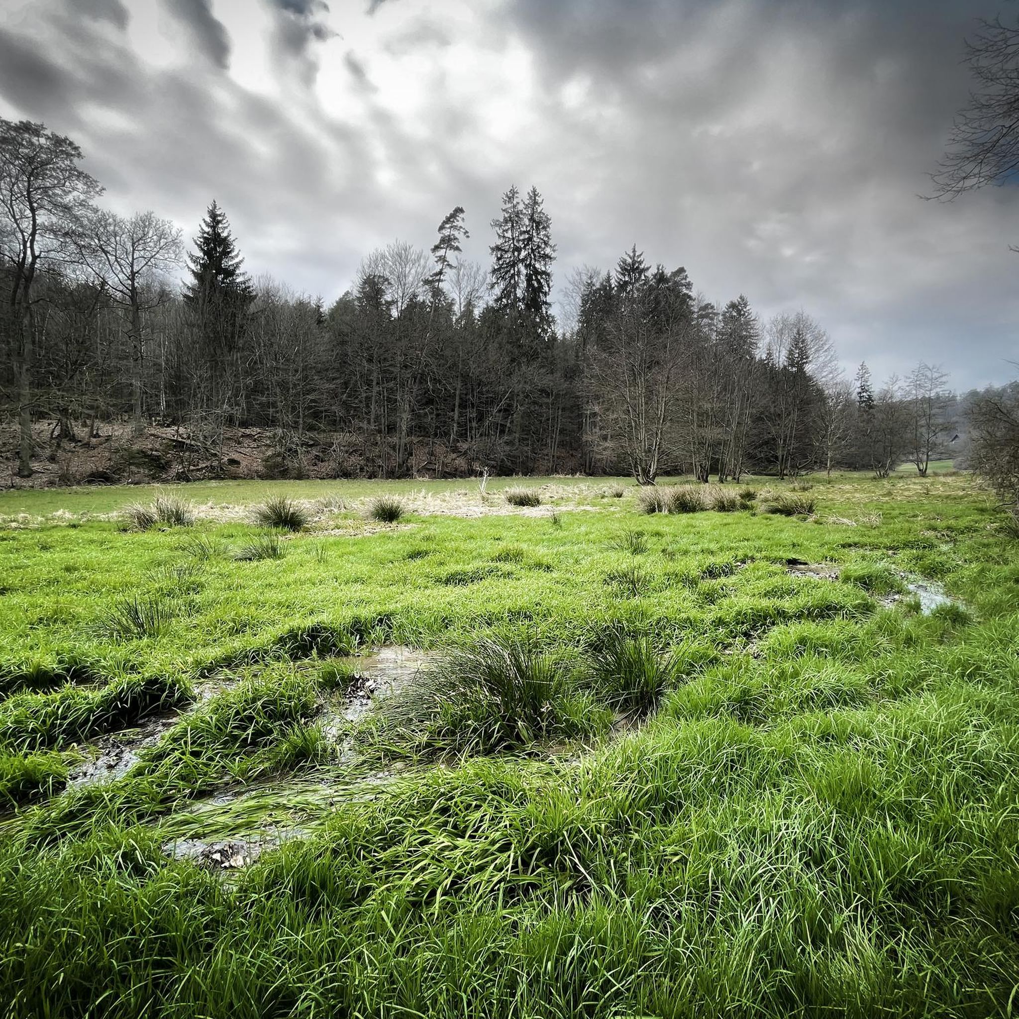
Along the Hengersberger Ohe river, you'll cycle along a quiet riverside path past meadows and sparkling water. A beautiful, relaxing way to bypass the town.
0
0

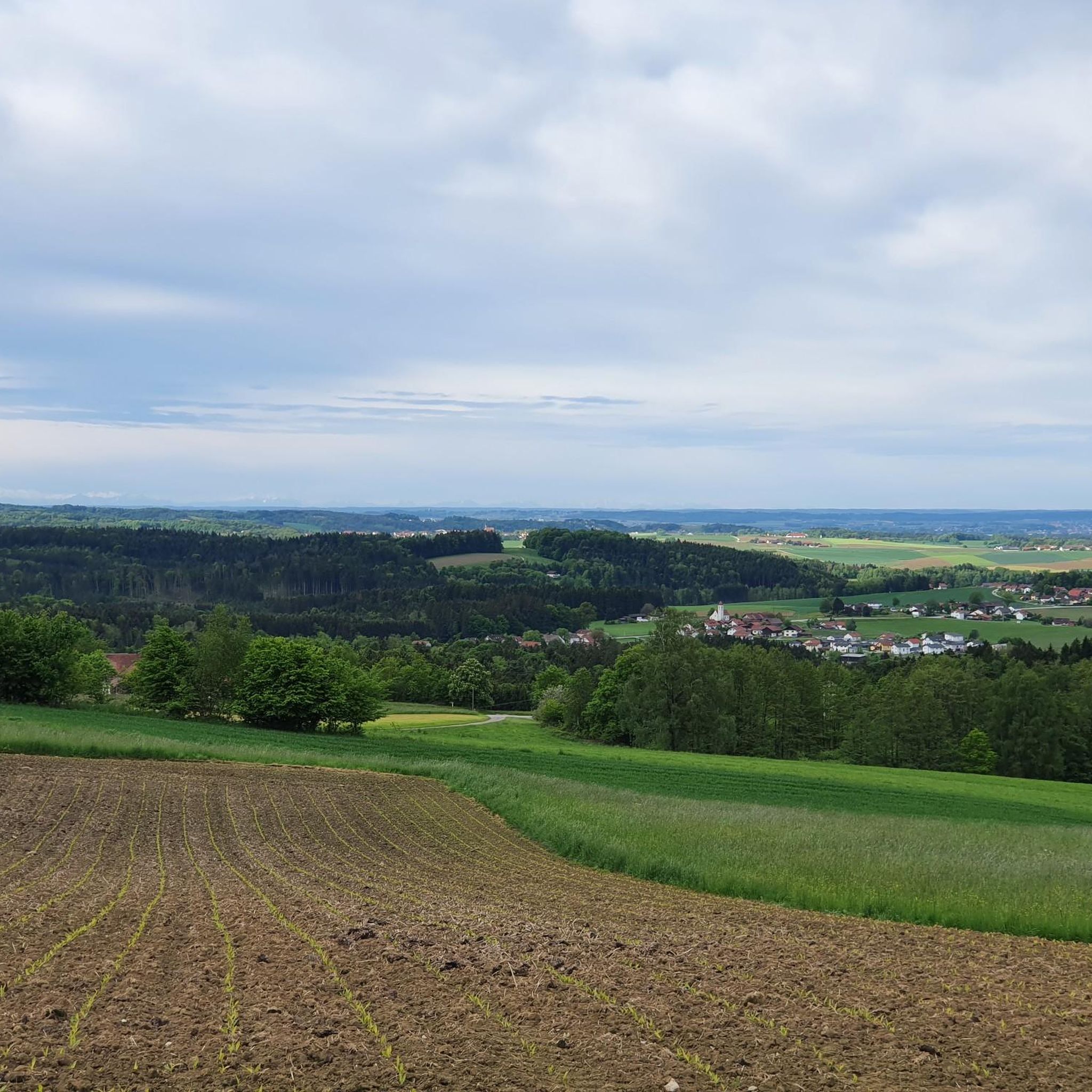
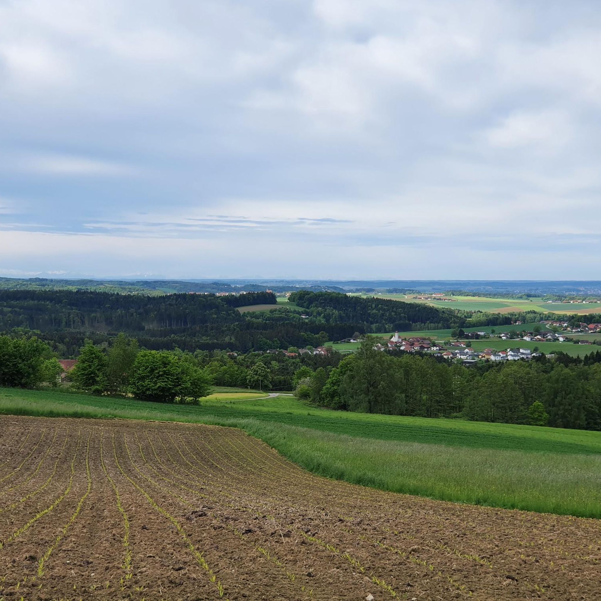
On a clear day, you can enjoy a magnificent view of the Danube plain and the Gäuboden region from up here. With a bit of luck, you might even see the Alps!
0
0

In the middle of the idyllic landscape, gigantic concrete pillars rise to great heights (up to 99 meters) to support the highway. Impressive! It's worth taking a few minutes to admire the structure, which was built in 1978.
0
0

When you stand under it you feel queasy
1
0
Frequently Asked Questions
How many gravel bike trails are available around Grattersdorf?
There are over 20 gravel bike trails to explore around Grattersdorf, offering a variety of experiences for different skill levels. These routes traverse the diverse terrain of the Bavarian Forest, featuring rolling hills, dense forests, and scenic valleys.
What kind of terrain can I expect on gravel bike trails in Grattersdorf?
The terrain around Grattersdorf is characterized by a mix of elevated areas and valleys within the Bavarian Forest. You can expect varied surfaces including forest roads, gravel paths, and quieter paved sections, providing a rich environment for mixed-surface cycling. This ensures diverse routes with varying elevation profiles suitable for different levels of gravel biking experience.
Are there any challenging gravel bike routes for experienced riders?
Yes, Grattersdorf offers several challenging routes. For instance, the Ohetal Cycle Path – Ohetal Cycle Path loop from Riggerding is a difficult 37.6-mile (60.4 km) path with significant elevation gain, offering extensive views of the valley. Another demanding option is the Büchelstein Viewpoint – View from Großer Büchelstein loop from Grattersdorf, which covers nearly 29 km with substantial climbing.
What are some notable landmarks or viewpoints I can reach on a gravel bike in Grattersdorf?
You can ride to prominent natural features like the Brotjacklriegel Summit (1,011 meters), which offers exceptional panoramic views from its observation tower. Another significant peak is the Büchelstein (832 meters), featuring an observation rock with a large summit cross and expansive vistas extending into the Alps. The unique Wackelstein (Rocking Stone) also makes for an interesting stop.
Are there any circular gravel bike routes available?
Yes, many of the gravel routes around Grattersdorf are designed as loops. For example, the Oberbreitenau Raised Bog – Landshuter House loop from Greising is a moderate 12.5-mile (20.0 km) circular trail. Another option is the Todtnauberg and Surroundings – Moor Pond in Todtenauer Moor loop from Kirchberg im Wald, which is an 11.2-mile (18.0 km) loop through moorland and forests.
What do other gravel bikers enjoy most about the trails in Grattersdorf?
The komoot community highly rates the gravel trails around Grattersdorf, with an average score of 5.0 stars. Riders often praise the diverse terrain, the beautiful landscapes of the Bavarian Forest, and the variety of routes that cater to different abilities, from moderate loops to more difficult, longer rides.
Are there any family-friendly gravel biking options in Grattersdorf?
While specific 'family-friendly' designations aren't always explicit for gravel, the region's varied terrain includes routes with lower elevation gains and shorter distances that could be suitable for families. Look for routes described as 'moderate' or those that stick to quieter forest roads and paths, avoiding the most challenging climbs.
Can I find routes that pass by historical sites or castles?
Yes, some routes incorporate historical elements. For instance, the Winzer Castle Ruins 🏰 – Basilica of Niederaltaich loop from Hengersberg is a route that passes by the impressive Winzer Castle Ruins, offering a blend of cycling and cultural exploration.
Are there any lakes or water features accessible by gravel bike?
Yes, the region around Grattersdorf features several beautiful lakes and ponds. While not directly on all gravel routes, you can find trails that lead near or offer detours to spots like Sattlinger Pond, Buchwies Pond, or the Parstweiher Reservoir, providing scenic breaks during your ride.
What is the best time of year for gravel biking in Grattersdorf?
Grattersdorf offers recreational activities in every season. However, for optimal gravel biking, spring through autumn generally provides the most pleasant weather and trail conditions. The varied terrain means trails are accessible and enjoyable for outdoor pursuits throughout much of the year, though winter rides might require specific equipment and caution due to snow or ice.
Are there any long-distance gravel routes for endurance riders?
For endurance riders, the Ohetal Cycle Path – Ohetal Cycle Path loop from Riggerding is a significant option, covering over 60 kilometers. The extensive network of paths in the Bavarian Forest also allows for combining shorter routes to create longer, personalized adventures.
Most popular routes around Grattersdorf
Most popular attractions around Grattersdorf

Get inspired with the komoot mobile app


Explore more
Browse the best Gravel rides in other regions.
