The best gravel rides around Hohenau
4.2
(10)
102
riders
25
rides
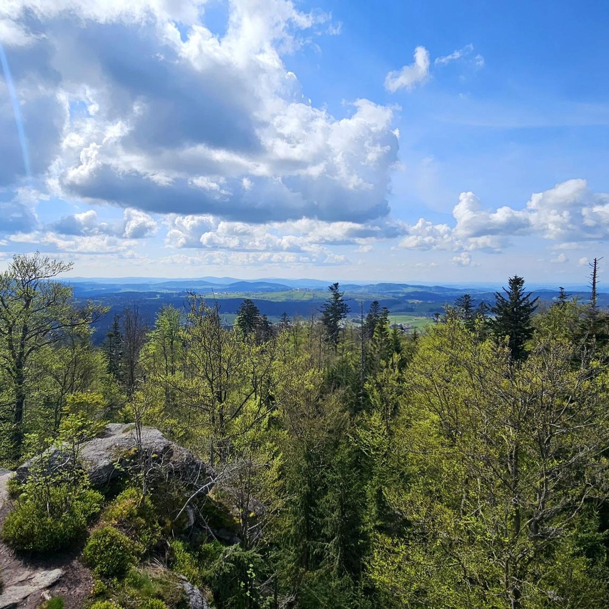
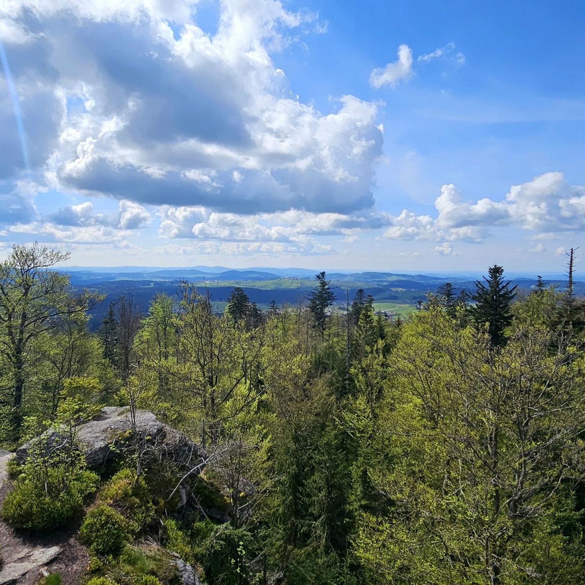
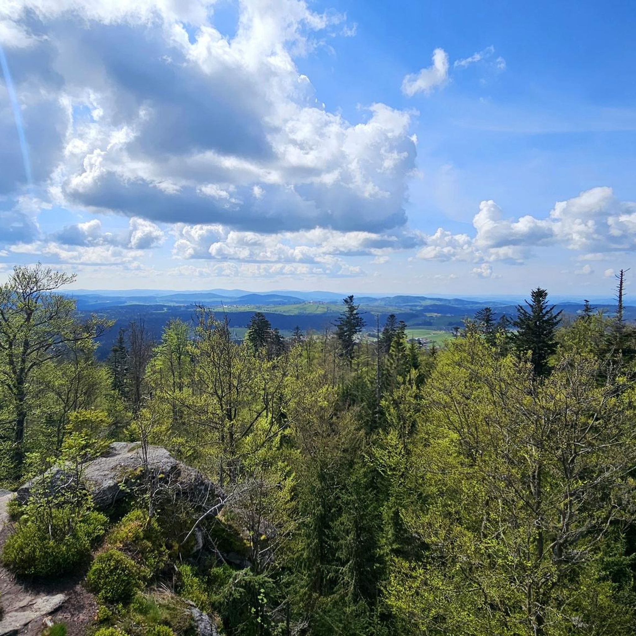
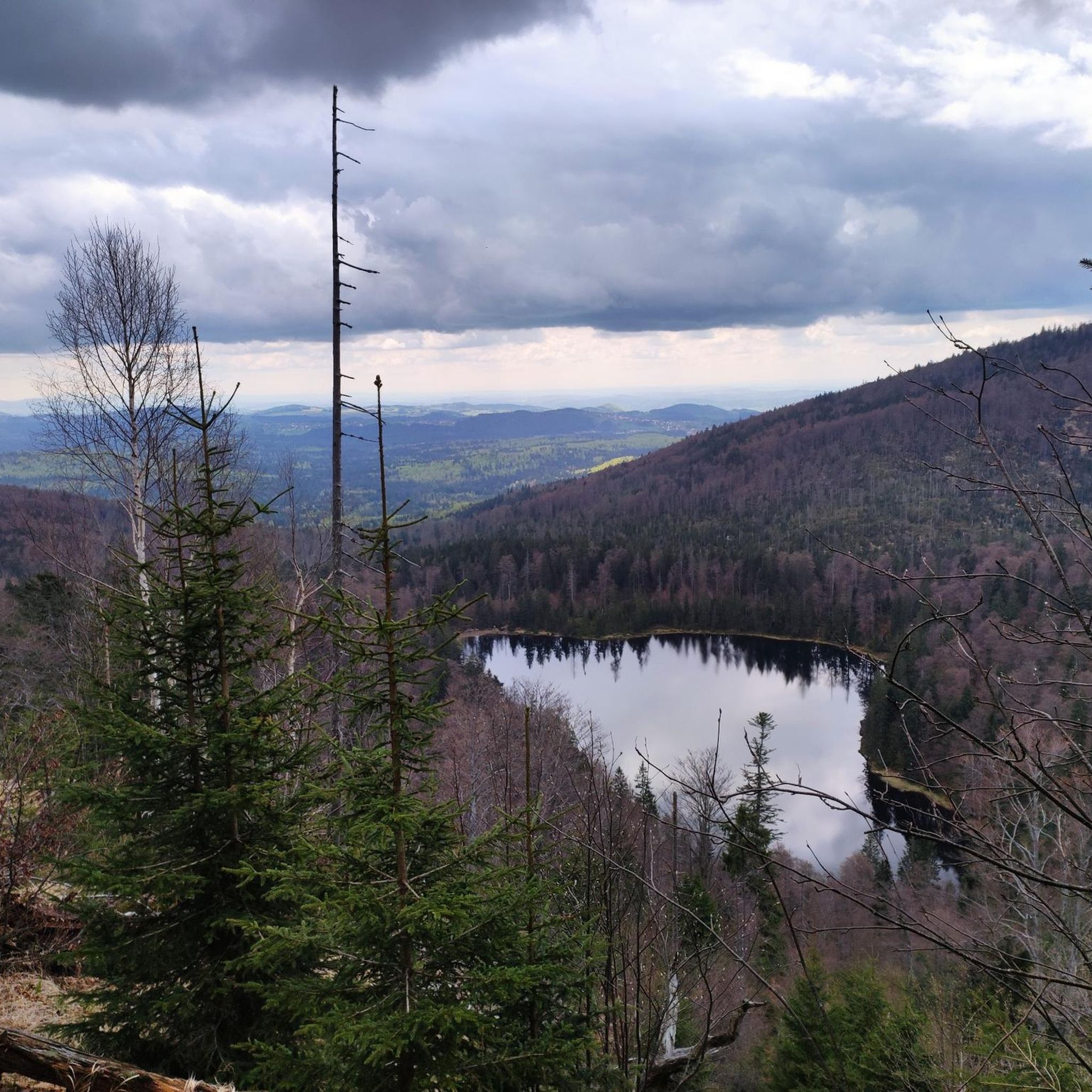
Gravel biking around Hohenau offers diverse terrain within the Freyung-Grafenau district of Bavaria, Germany. The region features varied topography with ascents and descents, situated near the extensive forests and natural features of the Bavarian Forest National Park. Notable landscapes include the Lusen Summit, a prominent peak defining the area's natural beauty. The elevation ranges from approximately 804 to 809 meters above sea level, providing a mix of challenges for gravel cyclists.
Best gravel bike trails around Hohenau
- The most popular…
Last updated: July 2, 2026
5.0
(2)
18
riders
Hard gravel ride. Very good fitness required. Mostly paved surfaces. Suitable for all skill levels.
5.0
(2)
35
riders
Hard gravel ride. Very good fitness required. Mostly paved surfaces. Suitable for all skill levels.

Sign up for free
4.0
(2)
7
riders
47.7km
03:19
780m
780m
Hard gravel ride. Very good fitness required. Mostly paved surfaces. Suitable for all skill levels.
3
riders
Hard gravel ride. Very good fitness required. Mostly paved surfaces. Suitable for all skill levels.
4.0
(2)
8
riders
51.9km
03:19
790m
800m
Hard gravel ride. Very good fitness required. Mostly paved surfaces. Suitable for all skill levels.
Get access to more routes and recommendations from other explorers.
Sign up for free
Already have an account?
Our route recommendations are based on thousands of hikes, rides, and runs completed by other people on komoot.
Start today with a free account
Your next adventure awaits.
Login or Signup
Popular around Hohenau
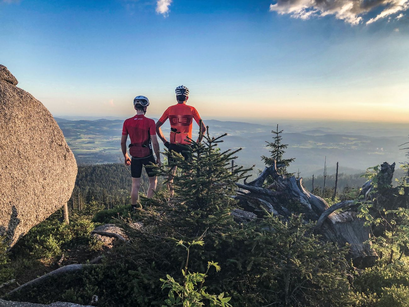
Peak tour through Germany: the highest pass and mountain roads
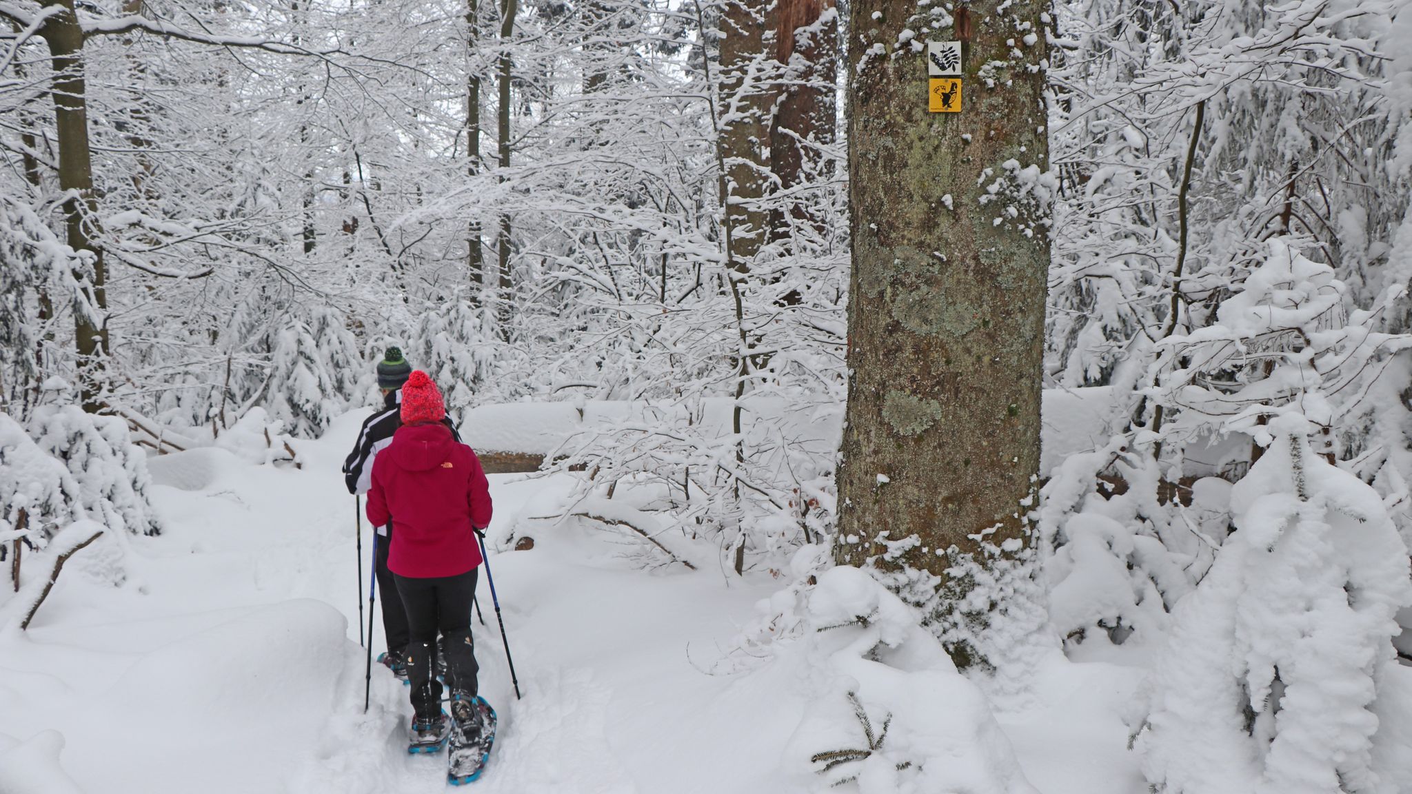
On snowshoes in the Bavarian Forest National Park
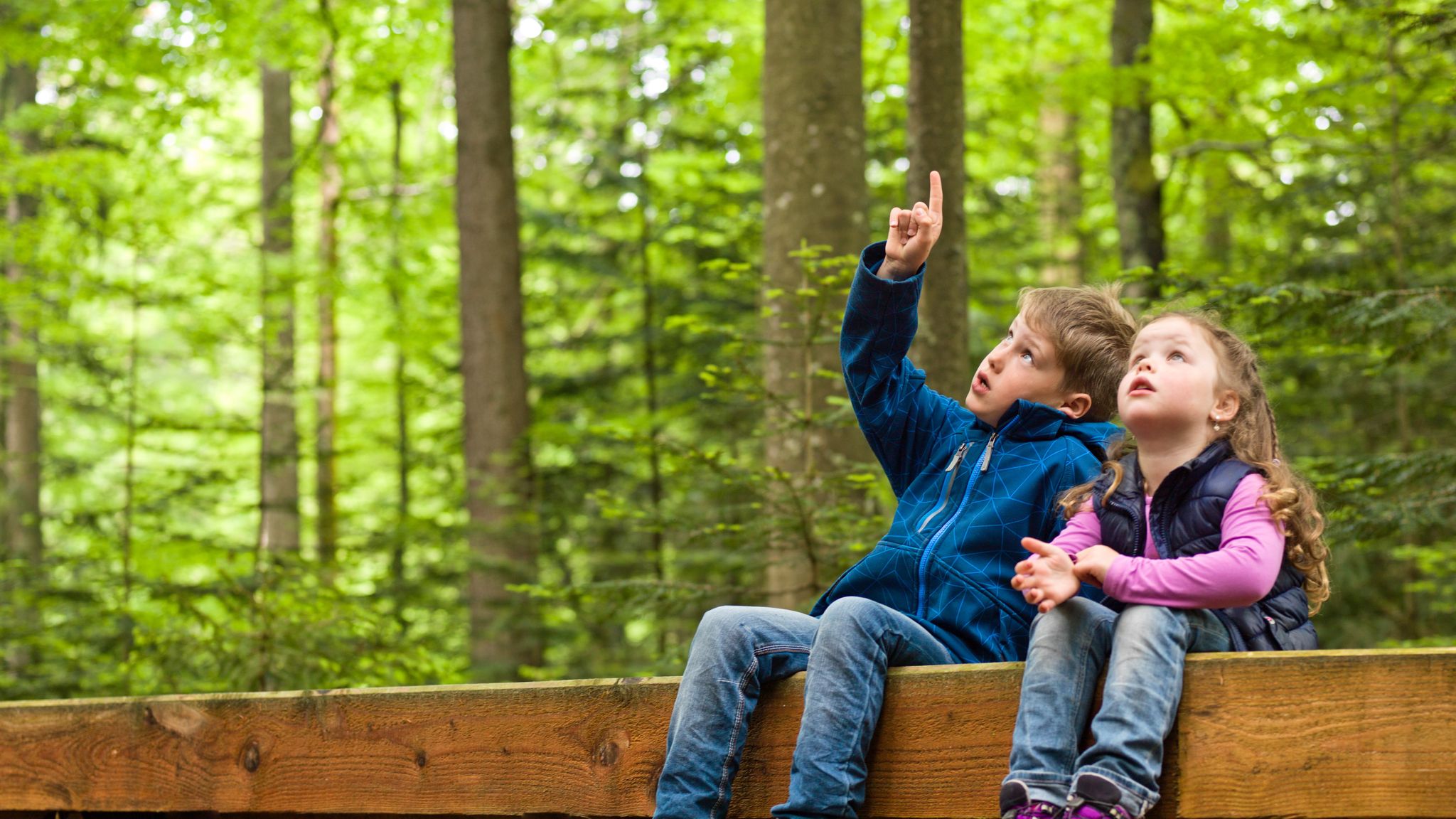
Family-friendly hikes in the Bavarian Forest National Park
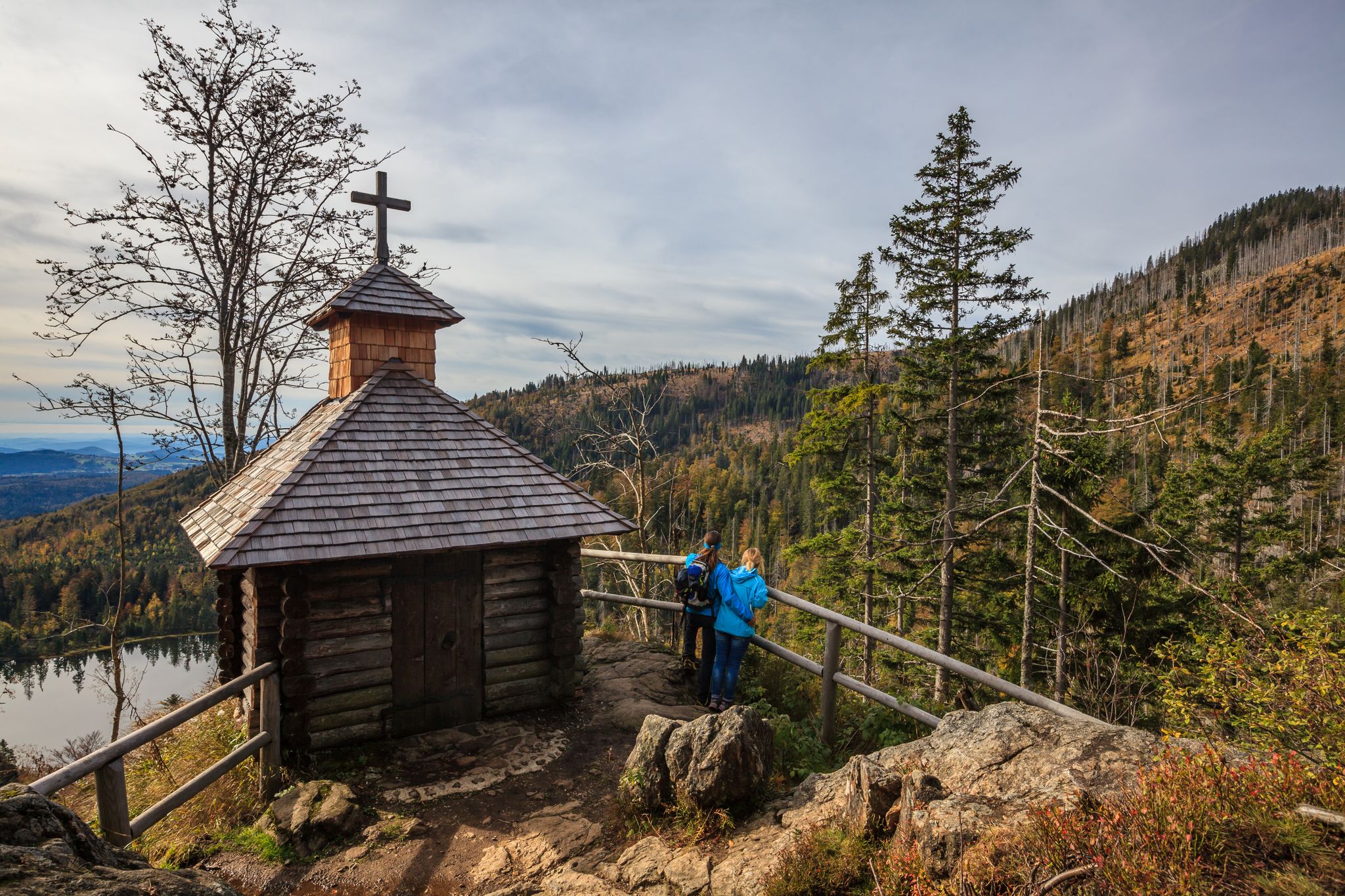
Lovely hikes in the Bavarian Forest National Park
Hiking around Hohenau
Cycling around Hohenau
MTB Trails around Hohenau
Road Cycling Routes around Hohenau
Running Trails around Hohenau

Mountain Hikes around Hohenau
Other adventures around Hohenau


Tips from the Community

The border crossing is in the immediate vicinity. Ideal connection for cross-border hikes or bike tours.
0
0

beautiful wooden bridge at the hiking parking lot
0
0

Former border installations.
1
0
A beautiful cycling route, not always on the best asphalt. Along the Vydra River.
4
0
Memorial site for the former border.
1
0

Small waterfall with a bench for resting.
1
0
very beautiful village center
0
0
Frequently Asked Questions
How many gravel bike trails are available around Hohenau?
There are nearly 30 gravel bike trails around Hohenau, offering a wide range of options for cyclists. The majority of these routes are rated as difficult, providing a significant challenge for experienced riders, though some moderate and easy options are also available.
What kind of terrain can I expect on gravel bike trails in Hohenau?
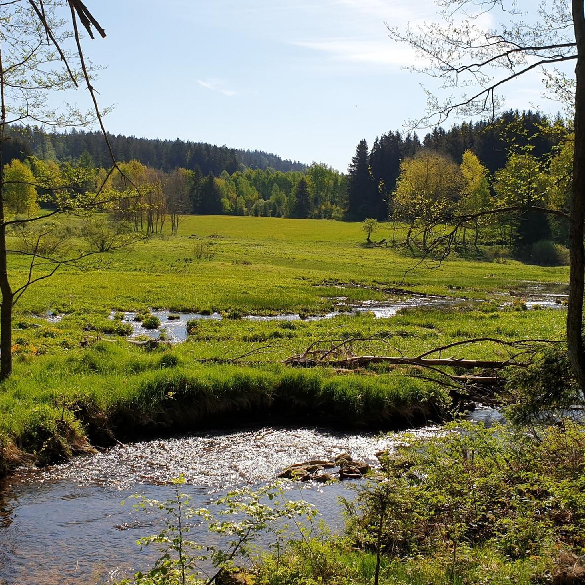
The terrain around Hohenau is quite varied, characterized by extensive forests, ascents, and descents. Situated within or very close to the Bavarian Forest National Park, you'll encounter a mix of gravel paths, forest roads, and natural surfaces, with elevations ranging from approximately 804 to 809 meters above sea level.
Are there any long-distance gravel biking routes in the Hohenau area?
Yes, for those seeking a longer challenge, routes like the Gsenget Border Crossing (Šumava National Park) – Schachten near Gsenget loop from Grafenau cover a substantial distance of 103.0 km, typically taking over 9 hours to complete. This route leads through the scenic Šumava National Park.
What are some notable natural features or landmarks I might see on a gravel bike ride near Hohenau?
Many routes offer stunning natural beauty. You might encounter highlights such as the Lusen Summit, offering panoramic views, or the tranquil Martinsklause Reservoir. The region is also home to the Glas Ark in Bavarian Forest National Park and the dramatic Steinklamm Gorge on the Große Ohe River.
Are there any circular gravel bike routes around Hohenau?
Yes, many of the gravel routes in Hohenau are designed as loops. For example, the Moldau Cycle Path Near Modrava – Cycle Path Along the Maderbach loop from Mauther Forst is a popular circular trail that follows a cycle path along the Maderbach.
What do other gravel bikers say about the trails in Hohenau?
The gravel biking routes around Hohenau are highly rated by the komoot community, with an average score of 4.25 stars from over 12 reviews. Many of the 112 visitors who have explored the area praise the varied terrain and the immersive experience within the Bavarian Forest National Park.
Are there any routes that pass by lakes or reservoirs?
Yes, several routes will take you past beautiful bodies of water. The Reschbachtal Stream – Teufelsbach Trail loop from Mauther Forst navigates through stream valleys, and you might encounter reservoirs like the Reschbachklause or the Teufelsbachklause.
What is the best time of year for gravel biking in Hohenau?
While specific seasonal recommendations are not provided, the region's natural beauty, especially within the Bavarian Forest National Park, suggests that spring, summer, and autumn would offer the most pleasant conditions for gravel biking, with vibrant foliage and milder weather. Winter conditions might present challenges due to snow and ice.
Are there any gravel routes suitable for beginners or families?
While the majority of routes are rated as difficult, there is at least one easy route available. For families or beginners, it's advisable to look for routes specifically marked as easy or moderate, and to check the elevation profiles to ensure they match your comfort level. The region's varied topography means even 'easy' routes might have some ascents.
Can I find routes that offer viewpoints or scenic overlooks?
Absolutely. Hohenau's location near the Bavarian Forest National Park means many trails offer stunning vistas. The Lusen Summit, for instance, is a prominent highlight known for its breathtaking views of the Bavarian Forest and, on clear days, even the Alpine ridge. Routes that climb to higher elevations will generally provide more scenic overlooks.
Are there any routes that explore historical or cultural sites?
While the focus is on natural landscapes, the region does have cultural elements. For example, the Fürstenhut Abandoned Village – Bučina Border Crossing loop from Mauther Forst offers a glimpse into historical areas. Additionally, the Martinsklause, an artificial reservoir from the 19th century, is a preserved cultural monument you might encounter.
Most popular routes around Hohenau
Most popular attractions around Hohenau

Get inspired with the komoot mobile app


Explore more
Browse the best Gravel rides in other regions.
