The best gravel rides around Kempter Wald
4.5
(483)
2,910
riders
141
rides
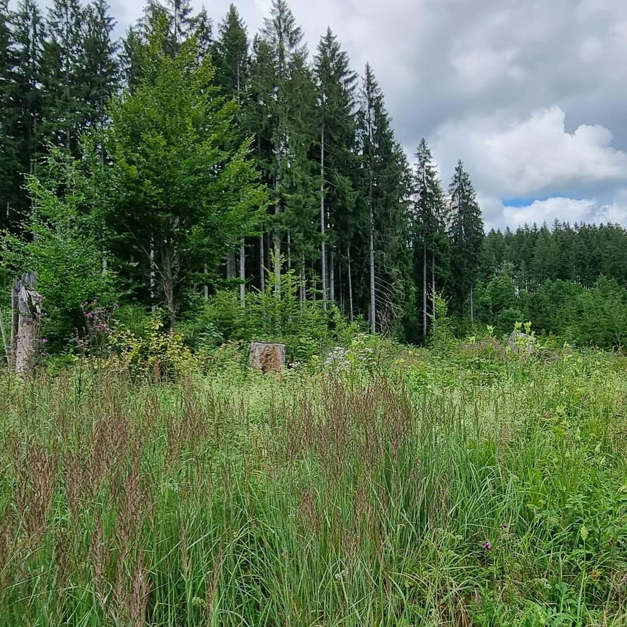
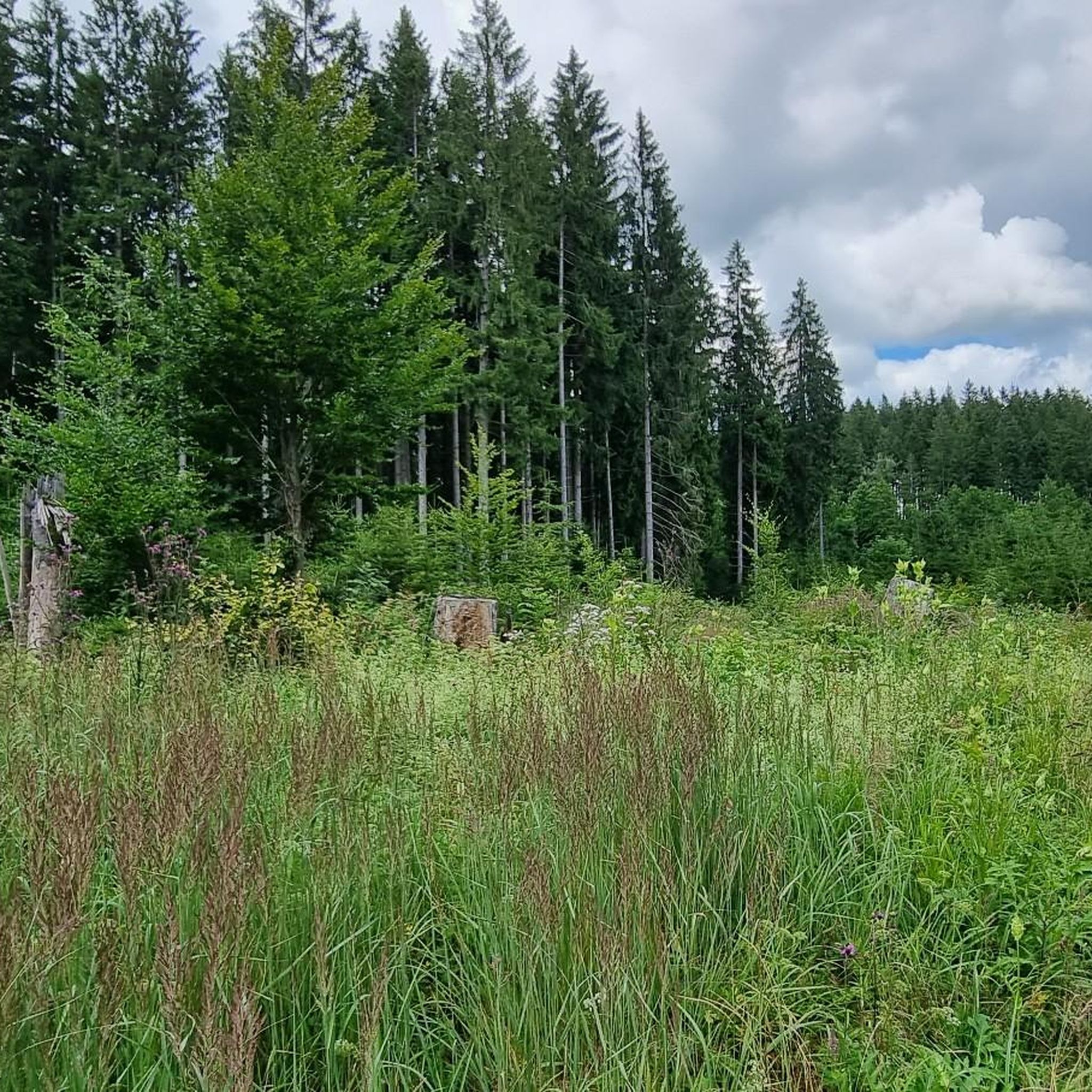
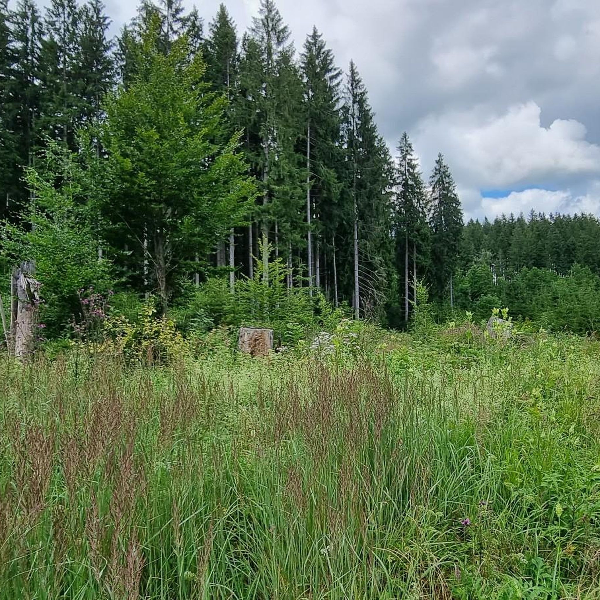
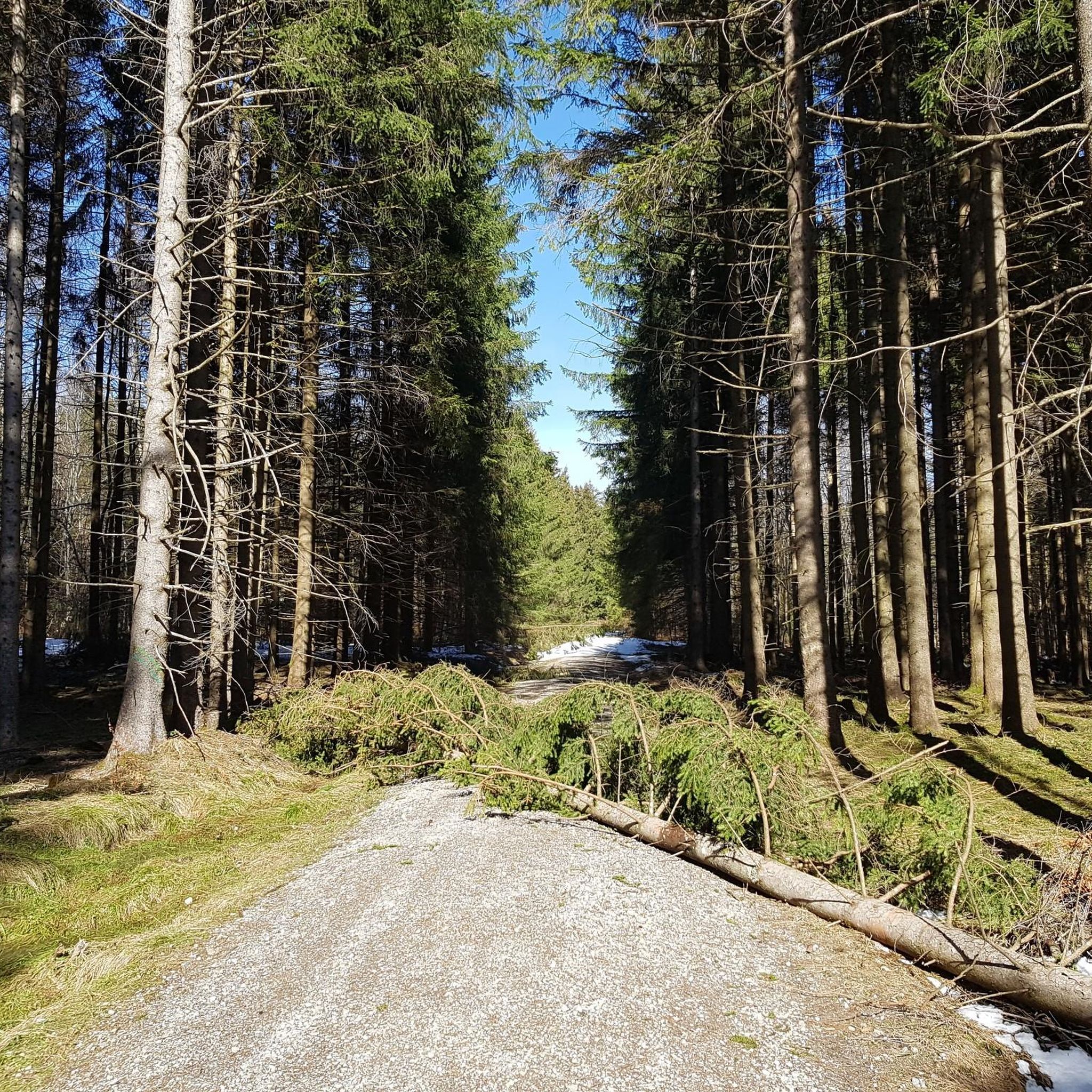
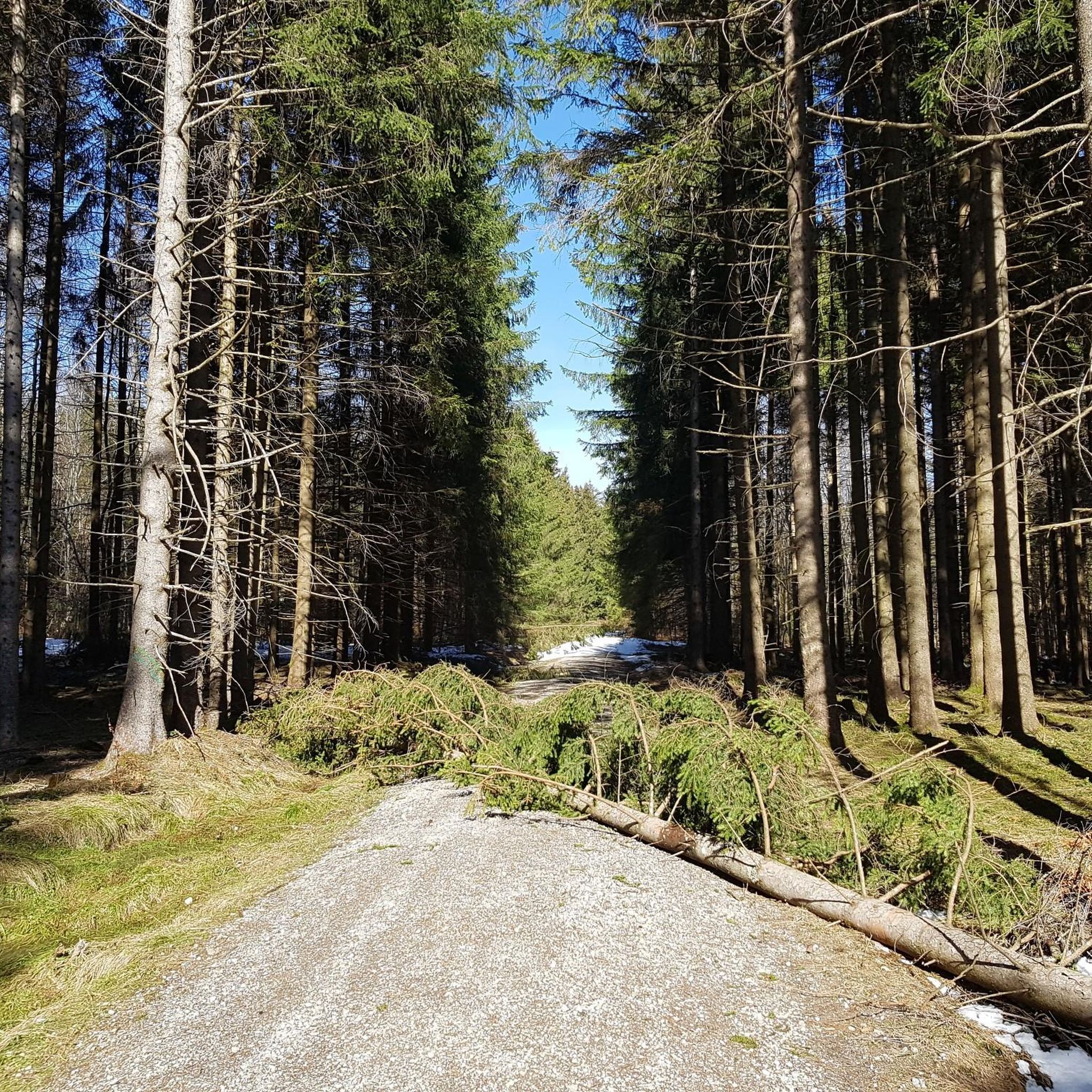
Gravel biking around Kempter Wald offers diverse terrain shaped by the Iller glacier, featuring rolling hills and dense forests. The region is characterized by its pre-Alpine Allgäu moor landscape and a significant concentration of erratics. Elevations reach approximately 960 meters above sea level, providing varied challenges for cyclists. A substantial portion of the forest is under nature protection, preserving its ecological importance.
Best gravel bike trails around Kempter Wald
- The most popular gravel bike trail is Vils Valley Trail –…
Last updated: October 14, 2026
4.5
(42)
220
riders
44.9km
02:36
490m
490m
Hard gravel ride. Very good fitness required. Mostly paved surfaces. Suitable for all skill levels.
4.7
(3)
63
riders
73.8km
04:17
730m
730m
Hard gravel ride. Very good fitness required. Mostly paved surfaces. Suitable for all skill levels.

4.6
(18)
79
riders
63.1km
03:40
680m
680m
Hard gravel ride. Very good fitness required. Mostly paved surfaces. Suitable for all skill levels.
4.7
(26)
140
riders
54.7km
03:06
550m
550m
Hard gravel ride. Very good fitness required. Mostly paved surfaces. Suitable for all skill levels.
5.0
(1)
31
riders
58.7km
03:37
710m
700m
Hard gravel ride. Very good fitness required. Mostly paved surfaces. Suitable for all skill levels.
Get access to more routes and recommendations from other explorers.
Already have an account?
Our route recommendations are based on thousands of hikes, rides, and runs completed by other people on komoot.
Start today with a free account
Your next adventure awaits.
Tips from the Community

Schneiders Brotzeitstüberl no longer exists.
0
0
Tastes differ and that's a good thing, but as a Kempten resident I have struck the Illerweg from Hegge via Martinszell to Stein from my list because it leads a lot through the forest and the mountain view is limited. I don't need to go to the beautiful Allgäu for routes through the forest. The route to Martinszell is one of my favorite routes.
0
0

The view is a firework for the eyes.
0
0

The 20% inclines can also be pushed, they are only short ; )
0
0

Small bridge directly on the cycle path from Kempten to Ermengerst
0
0

The old railway bridge has been replaced by a modern structure for cyclists and hikers.
0
0
I am not a fan of country roads and really enjoyed the cycle path. It offers much more scenery than expected and the rare opportunity to cycle many kilometers without climbs in the Allgäu. From Rotkreuz via Ermengerst, Wiggensbach and Buchenberg to Weitnau. From Weitnau there is a cycle path to Missen.
1
0

Super beautiful, partially steep cycle path.
0
0
Frequently Asked Questions
How many gravel bike trails are there in Kempter Wald?
Kempter Wald offers a wide selection of gravel bike trails, with over 270 routes available for exploration. These range from easy to difficult, catering to various skill levels.
What kind of terrain can I expect on gravel bike trails in Kempter Wald?
The terrain in Kempter Wald is diverse, shaped by the Iller glacier, featuring rolling hills and dense forests. You'll find a mix of predominantly paved surfaces and unpaved forest paths and country roads. The region is also characterized by its pre-Alpine Allgäu moor landscape and impressive erratics.
What are the difficulty levels of gravel bike trails in Kempter Wald?
The trails in Kempter Wald offer a range of difficulties. There are around 10 easy routes, about 130 moderate routes, and approximately 140 difficult routes. Some challenging tours can involve significant elevation gains, exceeding 900 meters.
Are there any circular gravel bike routes in Kempter Wald?
Yes, many of the gravel bike routes in Kempter Wald are designed as loops. For example, the Vils Valley Trail – View of the Vils Valley loop from Oy-Mittelberg is a popular circular route offering scenic views.
What can I see along the gravel bike trails in Kempter Wald?
Beyond the natural beauty of the forests and moorlands, you can encounter impressive erratics like the Dengelstein. Some routes may also pass by historical sites such as the ruins of Wolkenberg Castle or the Neuenburg ruin. You might also find peaceful stops like the Waldkapelle.
Are there any viewpoints along the gravel bike routes in Kempter Wald?
Yes, Kempter Wald offers several viewpoints that provide magnificent panoramic vistas of the surrounding Allgäu region. One notable spot is "Knollerhag," which offers stunning views.
Are there any lakes or water features near the gravel bike trails?
Yes, the region features several beautiful lakes. For instance, the Rottachsee Loop – Old Salt Road Trail loop from Wildpoldsried takes you around Lake Rottach. You can also find highlights like Lake Rottach and the Grüntensee Bathing Area nearby.
Are there places to eat or rest along the gravel bike trails?
Yes, traditional inns and managed Alpine huts, such as Alpe Beilstein and Mehlblockalpe, are available in the region. These offer opportunities for refreshment and rest during your rides.
What do other gravel bikers enjoy the most about gravel biking in Kempter Wald?
The area is highly rated by the komoot community, with an average score of 4.6 stars from over 400 reviews. Riders often praise the diverse landscapes, the mix of challenging and leisurely routes, and the opportunity to explore nature away from heavy traffic.
Is Kempter Wald suitable for family-friendly gravel biking?
Kempter Wald offers routes suitable for various skill levels, including easier options. While some routes have significant elevation gains, there are also more leisurely rides that families can enjoy. It's advisable to check the specific route details for distance and elevation to ensure it matches your family's ability.
What are the parking options for gravel biking in Kempter Wald?
While specific parking lots are not detailed, many trailheads and starting points for routes in the Kempter Wald region, especially near towns like Durach or Oy-Mittelberg, typically offer designated parking areas for outdoor enthusiasts. It's recommended to check local signage upon arrival.
Can I reach the gravel bike trails in Kempter Wald by public transport?
Public transport options exist to reach the vicinity of Kempter Wald, particularly to larger towns like Kempten. From there, local bus services might connect to smaller villages closer to trailheads. However, direct access to all trail starting points via public transport may be limited, so planning your journey in advance is recommended.
Most popular routes around Kempter Wald
Most popular attractions around Kempter Wald

Get inspired with the komoot mobile app


Explore more
Browse the best Gravel rides in other regions.
