The best gravel rides around Wiggensbach
4.4
(429)
2,665
riders
134
rides
Gravel biking around Wiggensbach offers diverse terrain in the Allgäu region, characterized by rolling hills, extensive forests, and clear lakes. The landscape features river-carved valleys, such as those formed by the Eschach and its side streams, creating varied paths. This area, situated in the foothills of the Alps, provides a mix of unpaved roads and forest paths suitable for gravel cycling. The presence of natural features like the Adelegg and the nearby Niedersonthofener See enhances the outdoor experience.
Best gravel…
Last updated: October 14, 2026
4.0
(1)
19
riders
73km
04:40
1,010m
1,010m
Hard gravel ride. Very good fitness required. Mostly paved surfaces. Suitable for all skill levels.
4.5
(24)
88
riders
37.6km
02:02
340m
340m
Moderate gravel ride. Good fitness required. Mostly paved surfaces. Suitable for all skill levels.

4.0
(2)
26
riders
53.4km
03:13
730m
730m
Hard gravel ride. Very good fitness required. Mostly paved surfaces. Suitable for all skill levels.
4.3
(4)
20
riders
Hard gravel ride. Very good fitness required. Mostly paved surfaces. Suitable for all skill levels.
3.0
(1)
28
riders
39.2km
02:02
210m
210m
Moderate gravel ride. Good fitness required. Mostly paved surfaces. Suitable for all skill levels.
Get access to more routes and recommendations from other explorers.
Already have an account?
Our route recommendations are based on thousands of hikes, rides, and runs completed by other people on komoot.
Start today with a free account
Your next adventure awaits.
Popular around Wiggensbach
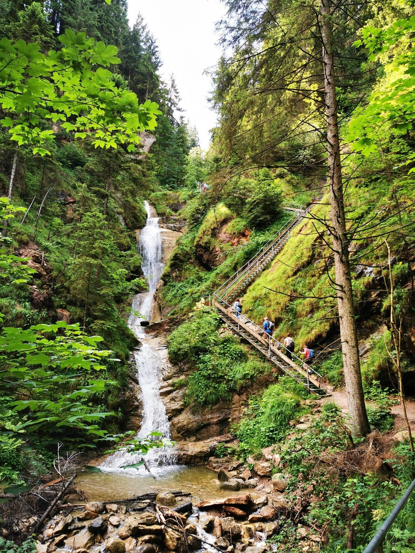
Discover Alpine lakes on the Watercourse Route – Allgäu hiking trilogy
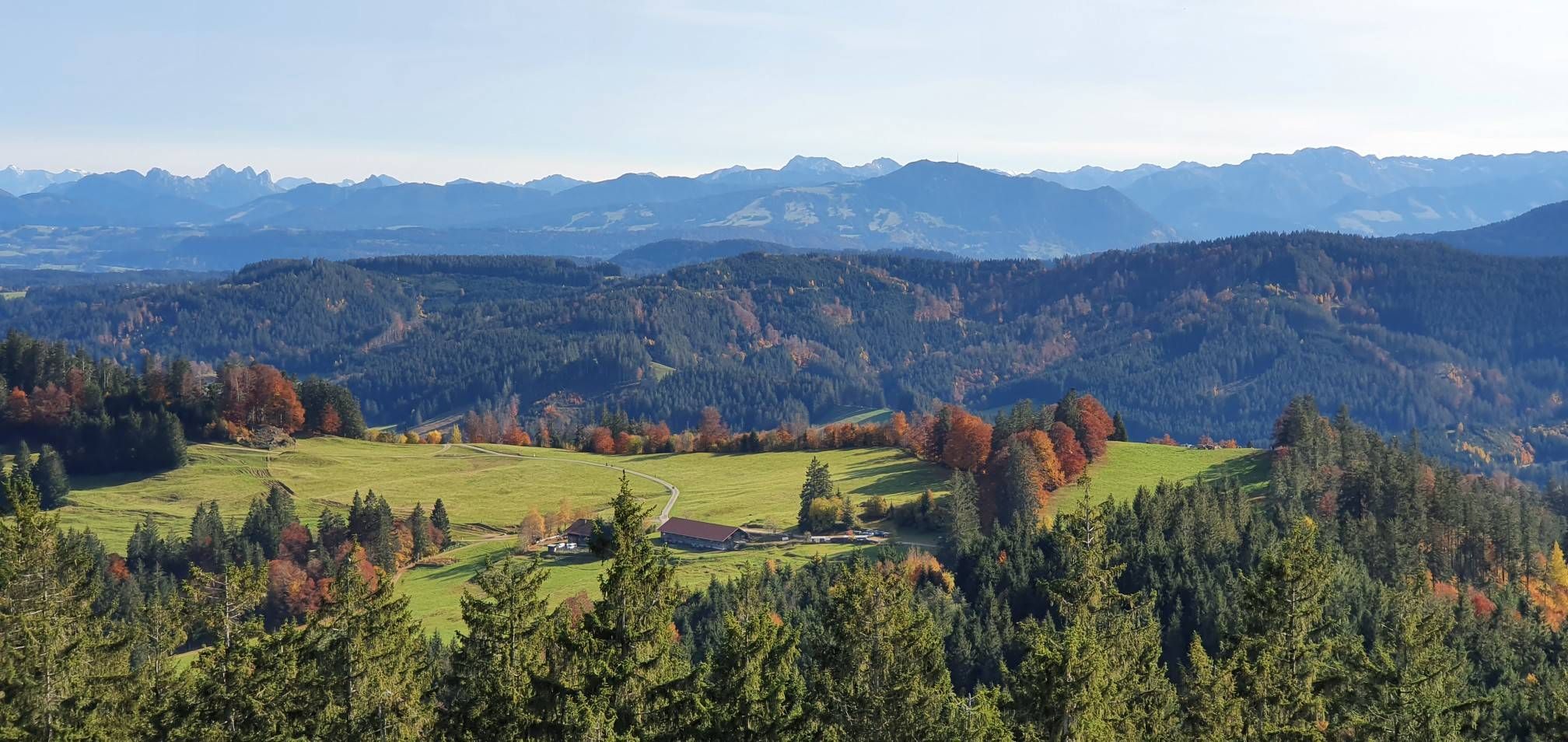
Alpine foothills on the Meadow Walkers’ Route – Allgäu hiking trilogy
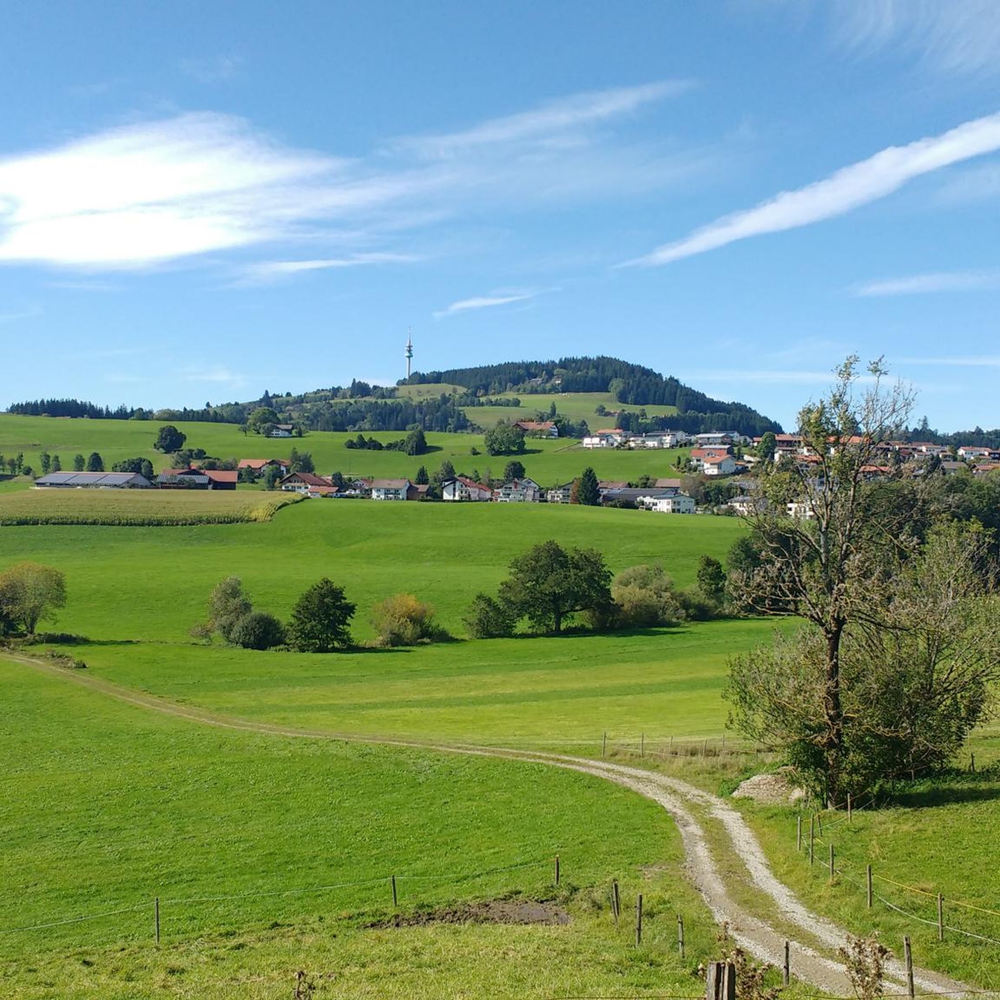
Hiking around Wiggensbach
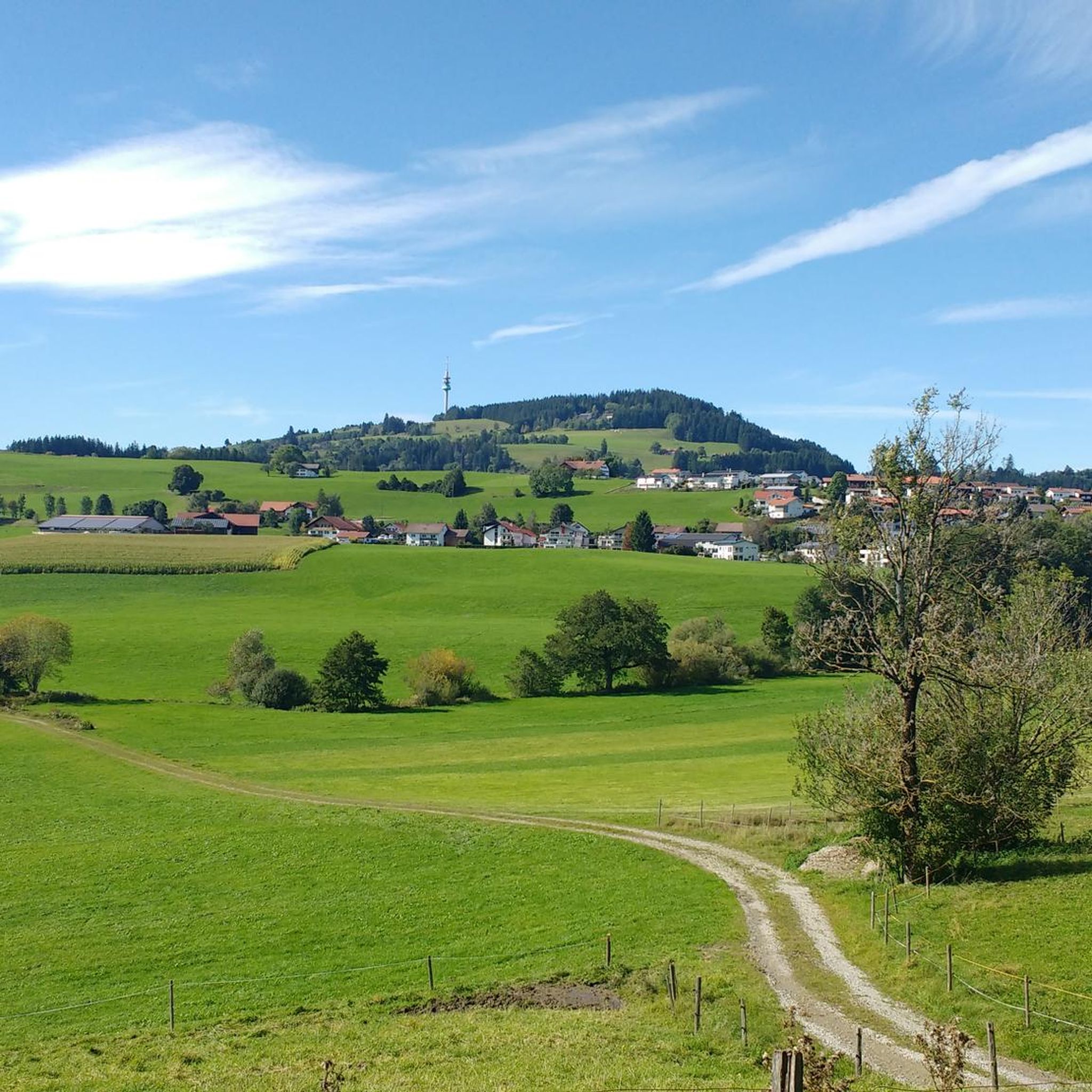
Cycling around Wiggensbach
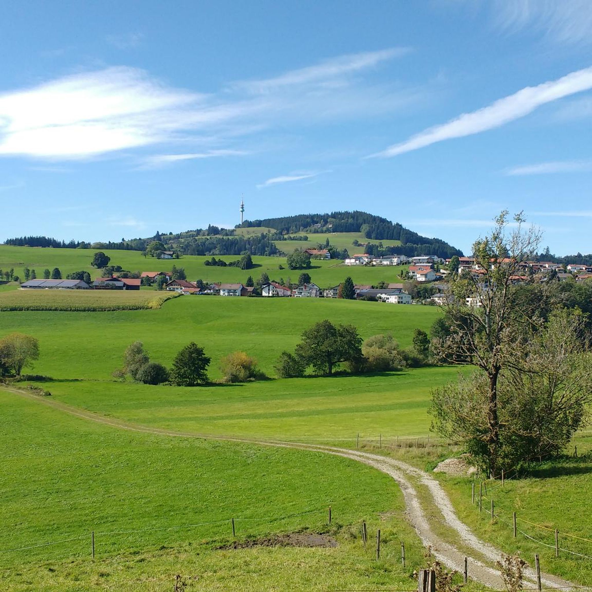
Road Cycling Routes around Wiggensbach
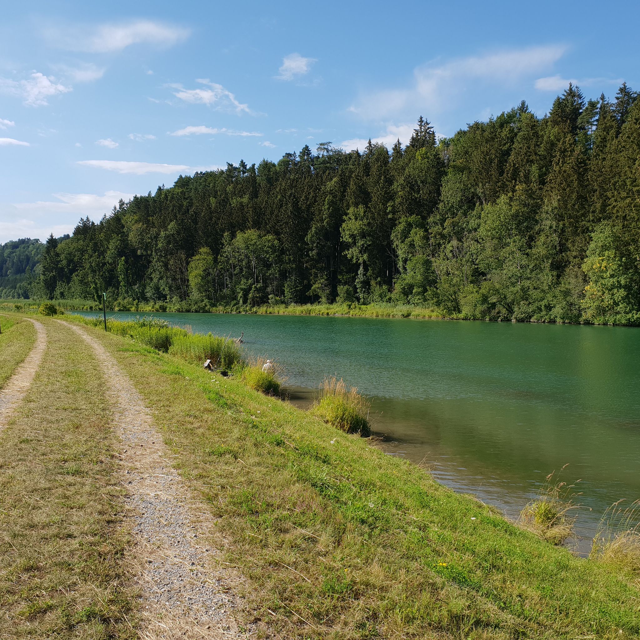
MTB Trails around Wiggensbach
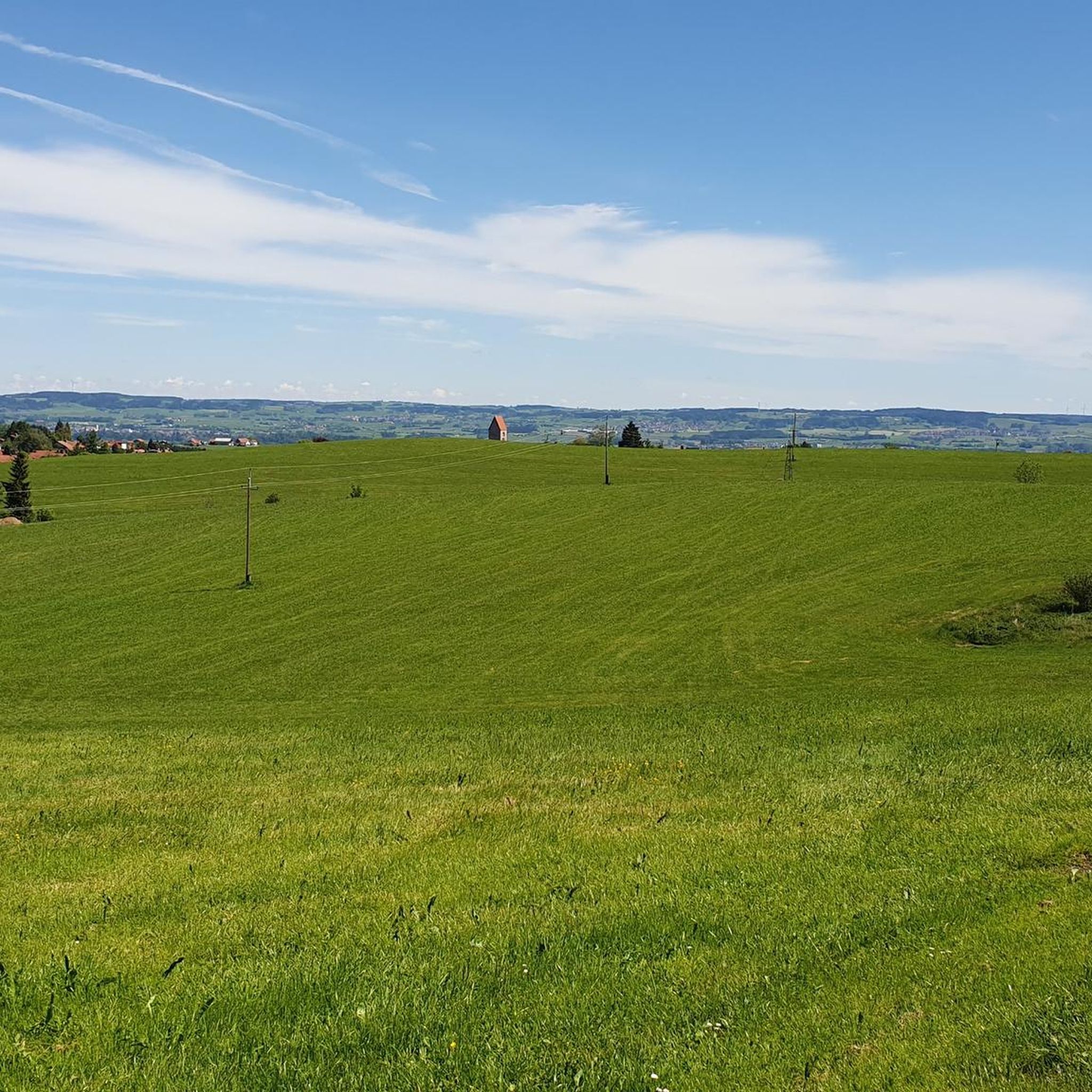
Running Trails around Wiggensbach
Mountain Hikes around Wiggensbach

Tips from the Community

Schneiders Brotzeitstüberl no longer exists.
0
0
Schon seltsam, man geht im Allgäu radeln und fährt durch den Wald. Das geht überall in Deutschland. Zu beiden Seiten der Iller gibt es wunderschöne Straßen mit wenig Autoverkehr und viel Bergsicht.
0
0
Tastes differ and that's a good thing, but as a Kempten resident I have struck the Illerweg from Hegge via Martinszell to Stein from my list because it leads a lot through the forest and the mountain view is limited. I don't need to go to the beautiful Allgäu for routes through the forest. The route to Martinszell is one of my favorite routes.
0
0

Nice destination for an outing, also with children
0
0
This is Kronburg Castle, near Obergünzburg there is the "Schlossmühle Liebenthann" with the former inn.
0
0
It's strange, you go cycling in the Allgäu and ride through the forest. This can happen anywhere in Germany. On both sides of the Iller river, there are beautiful roads with little car traffic and mountain views.
0
0
Magnificent view from here of Kempten and the Allgäu mountains in the background
0
0
I am not a fan of country roads and really enjoyed the cycle path. It offers much more scenery than expected and the rare opportunity to cycle many kilometers without climbs in the Allgäu. From Rotkreuz via Ermengerst, Wiggensbach and Buchenberg to Weitnau. From Weitnau there is a cycle path to Missen.
1
0
Frequently Asked Questions
How many gravel bike trails are available around Wiggensbach?
Wiggensbach offers a wide selection of over 280 gravel bike trails, catering to various skill levels across its diverse landscape of rolling hills, forests, and river valleys. You'll find a mix of well-maintained unpaved roads and forest paths.
What kind of terrain can I expect on gravel bike trails in Wiggensbach?
The terrain around Wiggensbach is characterized by rolling hills, extensive forests, and river-carved valleys, particularly those formed by the Eschach and its side streams. You'll encounter a mix of unpaved roads and forest paths, offering varied and engaging cycling. The region's position in the Allgäu Alps foothills means you can expect both moderate loops and more demanding ascents.
Are there any family-friendly gravel bike routes in Wiggensbach?
Yes, Wiggensbach offers routes suitable for families. Many trails feature easy-to-navigate sections along river paths or through less challenging forest areas. For example, the View of the Allgäu Alps – Old Railway Embankment Path loop from Buchenberg is a moderate route that could be a good option for families looking for a shorter ride with scenic views.
What are some scenic viewpoints or landmarks I can find along the gravel trails?
Wiggensbach's gravel trails often lead to beautiful natural features and viewpoints. You can explore the dramatic Iller Cliffs near Riederau, or discover the unique landscape of the Kalbsangsttobel Gorge and Hölzler Gorge. For panoramic views, consider routes that offer glimpses towards the Allgäu Alps.
What do other gravel bikers enjoy most about Wiggensbach?
The komoot community highly rates gravel biking in Wiggensbach, with an average score of 4.6 stars from over 300 reviews. Riders frequently praise the diverse terrain, the stunning views of the Allgäu Alps, and the well-maintained network of paths that wind through forests and along clear lakes. The variety of routes, from moderate to difficult, is also a highlight for many.
Can I bring my dog on the gravel bike trails in Wiggensbach?
Generally, dogs are welcome on most gravel bike trails in Wiggensbach, especially on forest and country paths. However, it's always advisable to keep your dog on a leash, especially in nature reserves, near livestock, or in areas with other trail users. Always be mindful of local regulations and other cyclists or hikers.
Are there any circular gravel bike routes available?
Yes, many gravel bike routes in Wiggensbach are designed as loops, allowing you to start and end at the same point. A popular example is the Iller Gorge – Iller Dam loop from Wiggensbach, which offers a comprehensive tour of the scenic Iller Gorge. Another option is the Iller Cycle Route – View of the Allgäu Alps loop from Hölzlers Tobel.
What is the best time of year for gravel biking in Wiggensbach?
The best time for gravel biking in Wiggensbach is typically from spring through autumn. During these seasons, the weather is generally mild, and the trails are in good condition. Spring brings lush greenery, while autumn offers vibrant foliage. While some trails might be accessible in winter, be prepared for snow and ice, especially at higher elevations, which can make conditions challenging.
Where can I find parking for gravel biking trails in Wiggensbach?
Parking is generally available at various starting points for trails around Wiggensbach. Many routes begin near villages or designated outdoor recreation areas where public parking is provided. It's recommended to check the specific tour details on komoot for parking suggestions near your chosen starting point.
Are there cafes or pubs along the gravel routes for a break?
While the trails themselves often traverse natural landscapes, you'll find cafes, pubs, and guesthouses in the villages and towns surrounding Wiggensbach, such as Wiggensbach itself, Buchenberg, or Heiligkreuz. These make for excellent stops to refuel and relax during or after your ride. Planning your route with these stops in mind is a good idea.
How challenging are the gravel bike trails in Wiggensbach?
Wiggensbach offers a range of challenges. You'll find moderate routes with gentle ascents and descents, as well as more difficult trails featuring significant elevation gains and longer distances. For instance, the Old Railway Embankment Path – View of the Allgäu Alps loop from Heiligkreuz is considered a difficult route, providing a substantial workout with rewarding views.
Can I access the gravel trails using public transport?
Public transport options exist to reach Wiggensbach and surrounding areas, which can serve as starting points for gravel bike trails. Local bus services connect the villages within the region. While bringing bikes on public transport can sometimes be restricted or require special tickets, it's worth checking the local transport provider's policies for specific routes and times.
Most popular routes around Wiggensbach
Most popular attractions around Wiggensbach

Get inspired with the komoot mobile app


Explore more
Browse the best Gravel rides in other regions.
