The best gravel rides around Langenneufnach
5.0
(7)
44
riders
26
rides
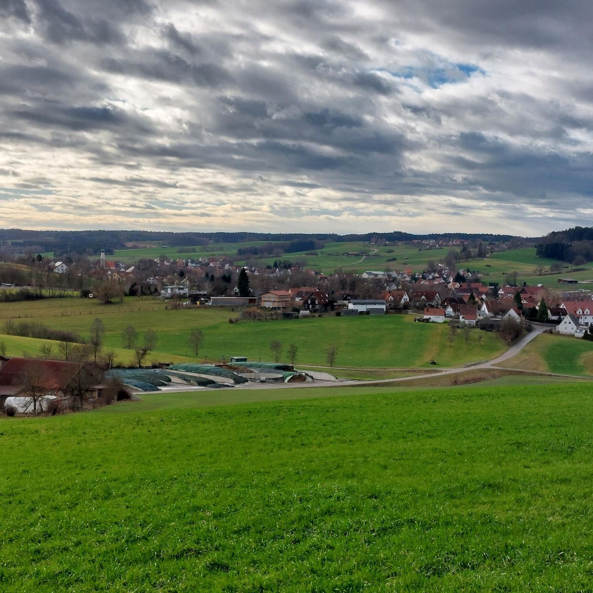
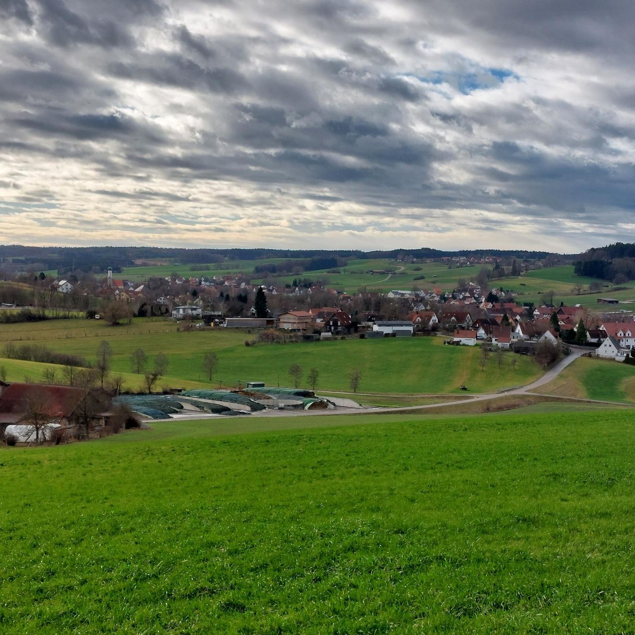
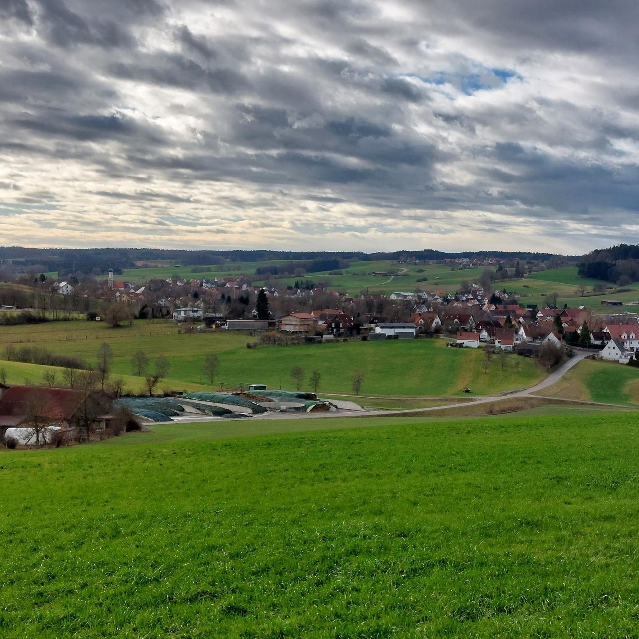
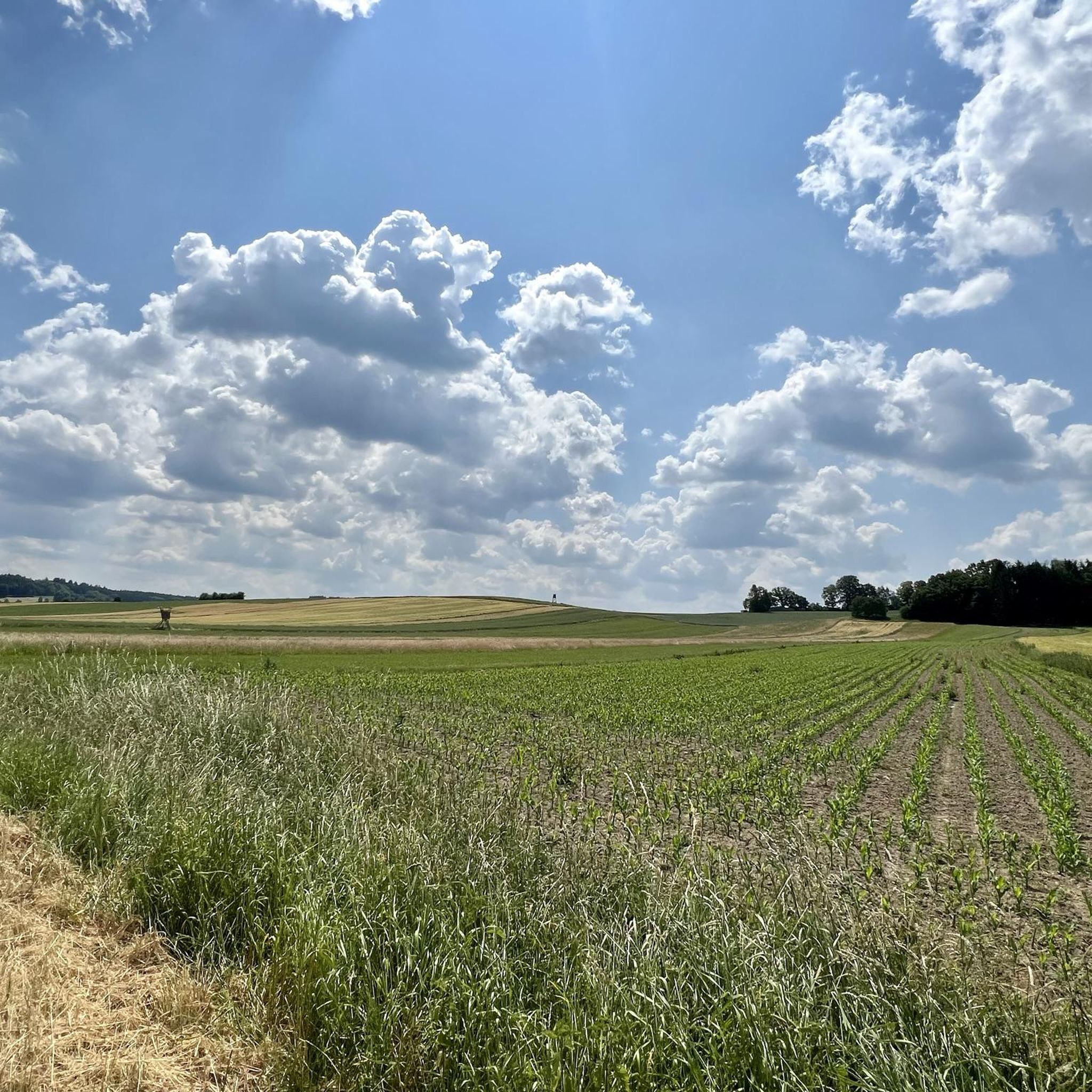
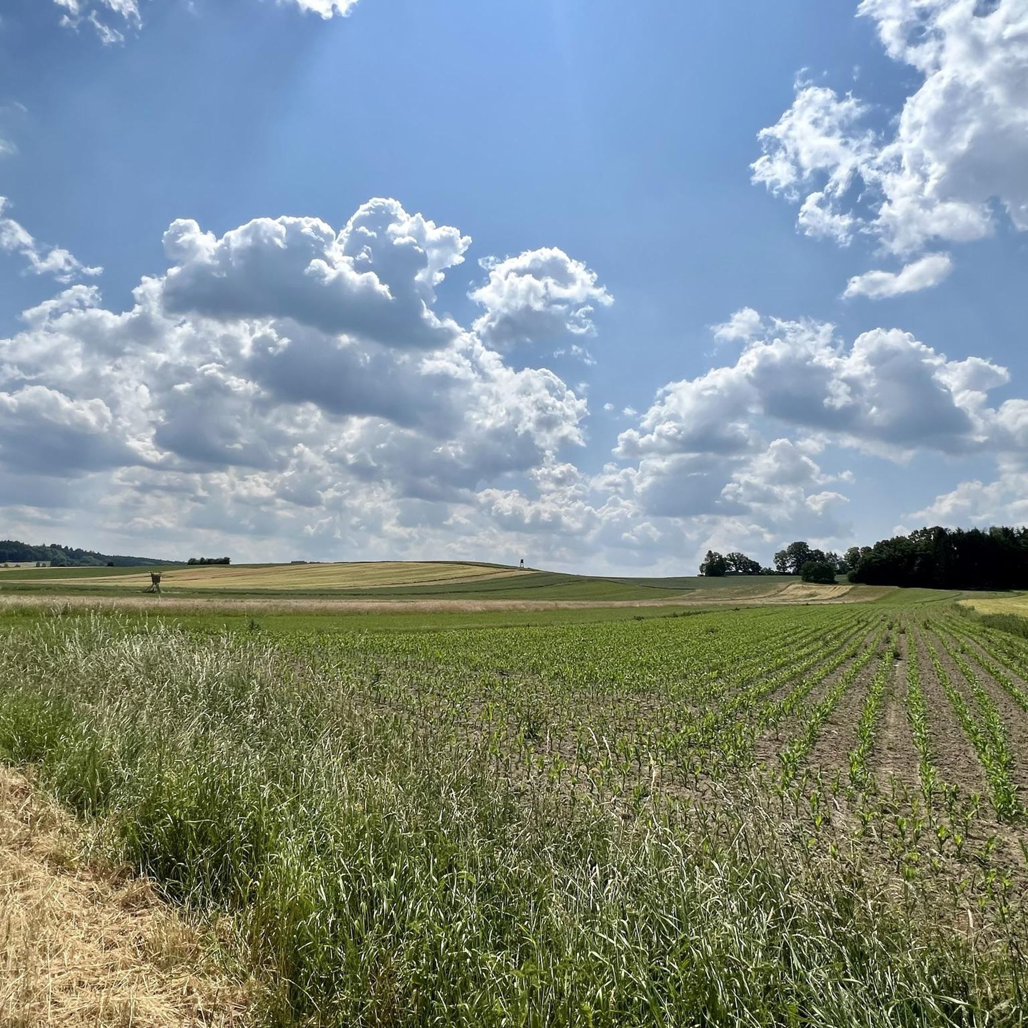
Gravel biking around Langenneufnach offers a diverse landscape characterized by river valleys, rolling hills, and agricultural plains. The region features a network of trails that often connect charming villages and historical landmarks. Riders can expect varied terrain, from compacted gravel paths along waterways to quieter country roads winding through open fields.
Best gravel bike trails around Langenneufnach
- The most popular gravel bike trail is View of the Wertach Valley – Anhauser Valley loop from Klimmach, a 31.2 miles (50.3…
Last updated: October 19, 2026
5.0
(2)
7
riders
50.3km
02:53
470m
470m
Hard gravel ride. Very good fitness required. Mostly paved surfaces. Suitable for all skill levels.
5.0
(1)
11
riders
46.6km
02:37
440m
440m
Moderate gravel ride. Good fitness required. Mostly paved surfaces. Suitable for all skill levels.

5.0
(2)
6
riders
32.5km
01:51
220m
220m
Moderate gravel ride. Good fitness required. Mostly paved surfaces. Suitable for all skill levels.
5
riders
24.7km
01:37
220m
220m
Moderate gravel ride. Good fitness required. Mostly paved surfaces. Suitable for all skill levels.
4
riders
41.9km
02:39
400m
400m
Moderate gravel ride. Good fitness required. Mostly paved surfaces. Suitable for all skill levels.
Get access to more routes and recommendations from other explorers.
Already have an account?
Our route recommendations are based on thousands of hikes, rides, and runs completed by other people on komoot.
Start today with a free account
Your next adventure awaits.
Other adventures around Langenneufnach

Tips from the Community

Wonderful views of the hilly perennial landscape invite you to take a break.
0
0

Mickhausen Castle is also known as the Stauden Castle! Events are regularly held here, such as the Schlosshofflickering!
0
0

The moated castle was built in the mid-15th century and owned by the Fugger family from 1528 to 1843. Today it is owned by the municipality of Mickhausen.
0
0
Idyllic pond with very good nature photo opportunities.
0
0

The best nut corners are here!
0
0

The castle pond in Burgwalden is a picturesque pond in the Augsburg - Western Forests Nature Park, about 20 kilometers southwest of Augsburg. It was created in the 16th century when the Augsburg patrician family Höchstetter built a moated castle, which no longer exists today. The pond originally served as a water source for the castle and for fish farming. Today the castle pond is a popular destination for hikers and nature lovers. There are well-developed hiking trails around the pond that lead through the idyllic landscape of the western forests. The "castle and church tour" is particularly recommended, an easy hike of about 7 kilometers that leads past the castle pond. Near the pond is the Church of Our Lady and St. Francis, which was built by the Höchstetter family in 1513. Opposite the church, the Burgwalden forest restaurant invites you to stop for a break. The castle pond is not only a place to relax, but also an important biotope. It provides habitat for numerous animal and plant species and contributes to the biodiversity of the region.
2
0

The Schmutter is one of the most important and distinctive rivers in the Western Forests Nature Park. It rises in the Stauden about three kilometers west of Siebnach and flows north through the hills and the Western Forests Nature Park towards the Danube. At 96 km long, it is a small tributary of the Danube. In Fischach, the Schmutter is at the confluence of the Neufnach and Erk "Neufnach and Erk bring the Schmutter to work". From Neusäß, it runs along the western edge of the Lech Valley. In its lower reaches, it flows into the Danube. The mouth of the Schmutter near Donauwörth forms the historic end point of the Via Claudia.
1
0

Large complex with all kinds of memorial plaques, church statues and thank you notes.
2
0
Frequently Asked Questions
How many gravel bike trails are available around Langenneufnach?
Langenneufnach offers a wide selection of gravel bike trails, with over 45 routes available. These range from moderate to more challenging options, catering to various skill levels.
Are there easy gravel bike trails suitable for beginners in Langenneufnach?
Yes, while many routes are moderate, there are a few easier gravel bike trails in the region. These typically feature less elevation gain and smoother surfaces, perfect for those new to gravel biking or looking for a relaxed ride. For example, the View of Mickhausen – Elmischwang Castle loop from Stauden is a moderate option that is shorter and less demanding than some of the longer routes.
What kind of terrain can I expect on gravel bike trails around Langenneufnach?
The gravel bike trails around Langenneufnach are characterized by diverse terrain. You'll encounter compacted gravel paths along river valleys, quieter country roads winding through open agricultural fields, and rolling hills. The region's landscape often connects charming villages and historical landmarks, providing varied scenery throughout your ride.
What are some longer gravel bike routes for experienced riders?
For experienced riders seeking longer distances, Langenneufnach offers several options. The View of the Wertach Valley – Anhauser Valley loop from Klimmach is a challenging 31.2-mile (50.3 km) route with significant elevation. Another substantial ride is the Grimoldsried Village – Christoph Scheiner Tower loop from Ziemetshausen, which covers 28.9 miles (46.6 km) and combines village scenery with a notable landmark.
What notable landmarks or attractions can I see along the gravel bike trails?
Many gravel bike routes in Langenneufnach pass by interesting historical sites and natural features. You can explore several castles, such as Elmischwang Castle or Mickhausen Castle. Some trails also lead through scenic areas like the Wertach Valley, offering expansive views.
Are there family-friendly gravel biking options in Langenneufnach?
While specific 'family-friendly' designations aren't always explicit, routes with less elevation and shorter distances would be most suitable. Look for trails described as 'moderate' with distances under 25 km, as these often follow quieter paths through villages and agricultural land, which can be enjoyable for families. The region's river valleys often provide flatter sections.
Can I find circular gravel bike routes in the Langenneufnach area?
Yes, many of the gravel bike trails around Langenneufnach are designed as loops, allowing you to start and end at the same point. Examples include the Schmutter River – Oberschönenfeld Abbey loop from Mickhausen and the Grimoldsried Village – Elmischwang Castle loop from Könghausen, which are both popular circular options.
What are the best times of year to go gravel biking in Langenneufnach?
The spring, summer, and early autumn months generally offer the best conditions for gravel biking in Langenneufnach. During these seasons, the weather is typically mild, and the trails are dry and well-maintained. The changing foliage in autumn can also provide particularly scenic rides.
What do other komoot users enjoy most about gravel biking in Langenneufnach?
The komoot community highly rates gravel biking in Langenneufnach, with an average score of 4.8 stars from over 25 reviews. Riders often praise the varied terrain, the scenic views across river valleys, and the charming connections between villages and historical sites. The network offers options for various ability levels, making it appealing to many.
Are there any gravel bike trails that offer scenic viewpoints?
Yes, several routes provide excellent scenic viewpoints. The View of the Wertach Valley – Anhauser Valley loop from Klimmach is specifically highlighted for its expansive views across the Wertach Valley. The View of Mickhausen – Elmischwang Castle loop from Stauden also leads through scenic viewpoints.
Where can I find parking for gravel biking in Langenneufnach?
While specific parking areas are not detailed for every route, most villages and trailheads in the Langenneufnach region offer public parking options. Look for designated parking near community centers, sports facilities, or along the main roads in towns like Klimmach, Ziemetshausen, or Mickhausen, which serve as common starting points for these routes.
Are there options for gravel biking in Langenneufnach during winter?
Gravel biking in Langenneufnach during winter is possible, but conditions can vary. Trails may be muddy, icy, or covered in snow, especially after heavy precipitation. It's advisable to check local weather forecasts and trail conditions before heading out. Flatter sections along river valleys might be more accessible, but always prioritize safety and appropriate gear.
Most popular routes around Langenneufnach
Most popular attractions around Langenneufnach

Get inspired with the komoot mobile app


Explore more
Browse the best Gravel rides in other regions.
