The best gravel rides around Forstinning
4.5
(51)
312
riders
63
rides
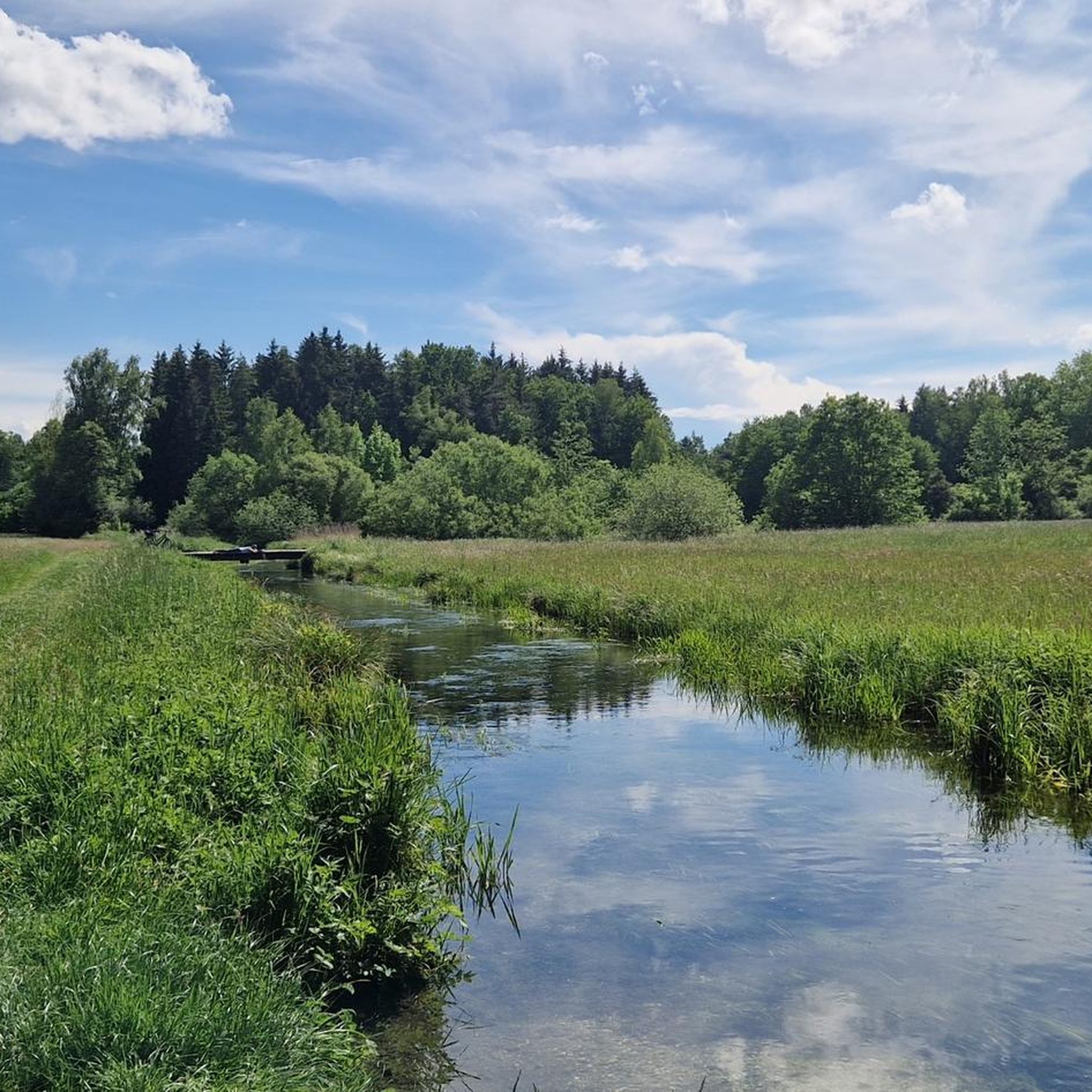
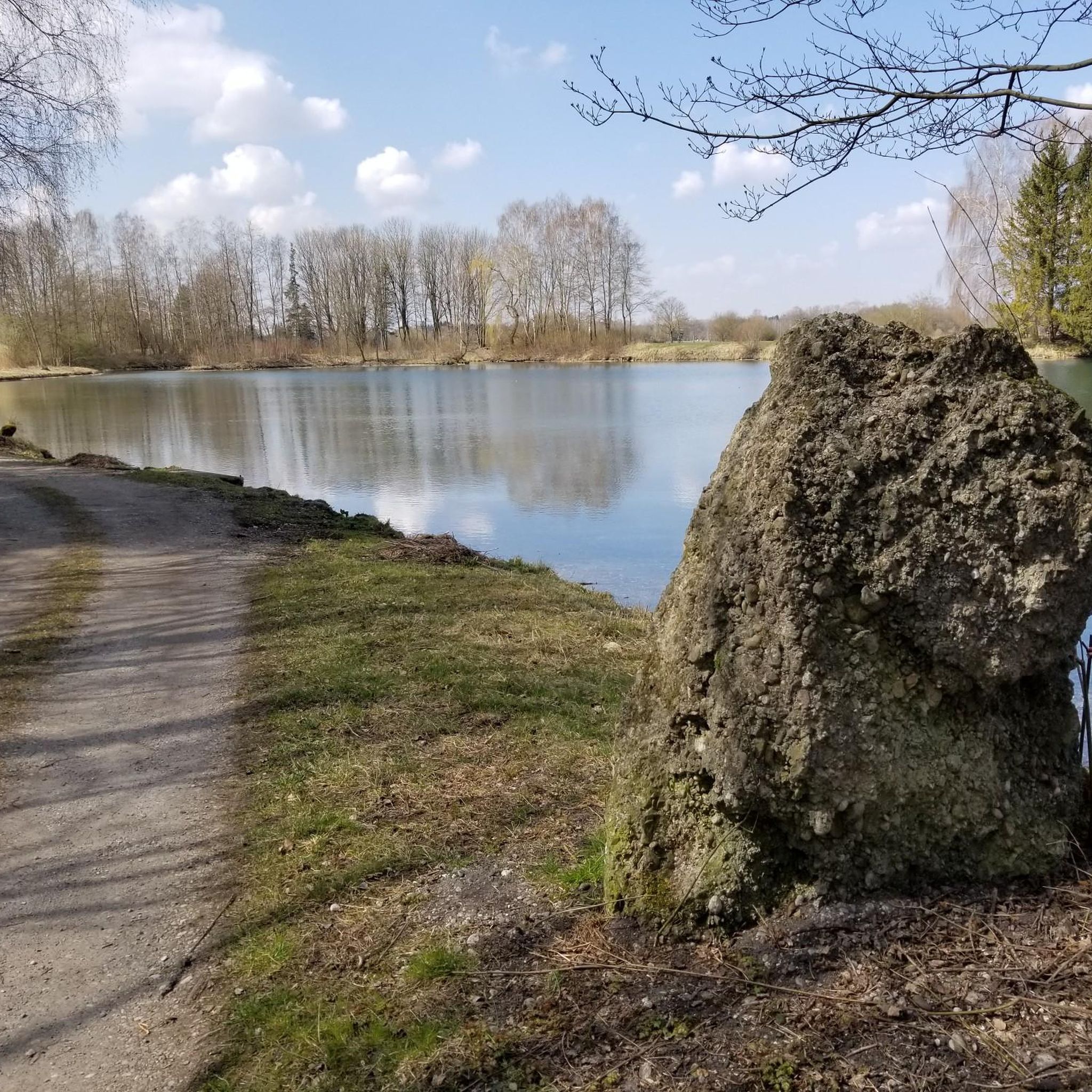
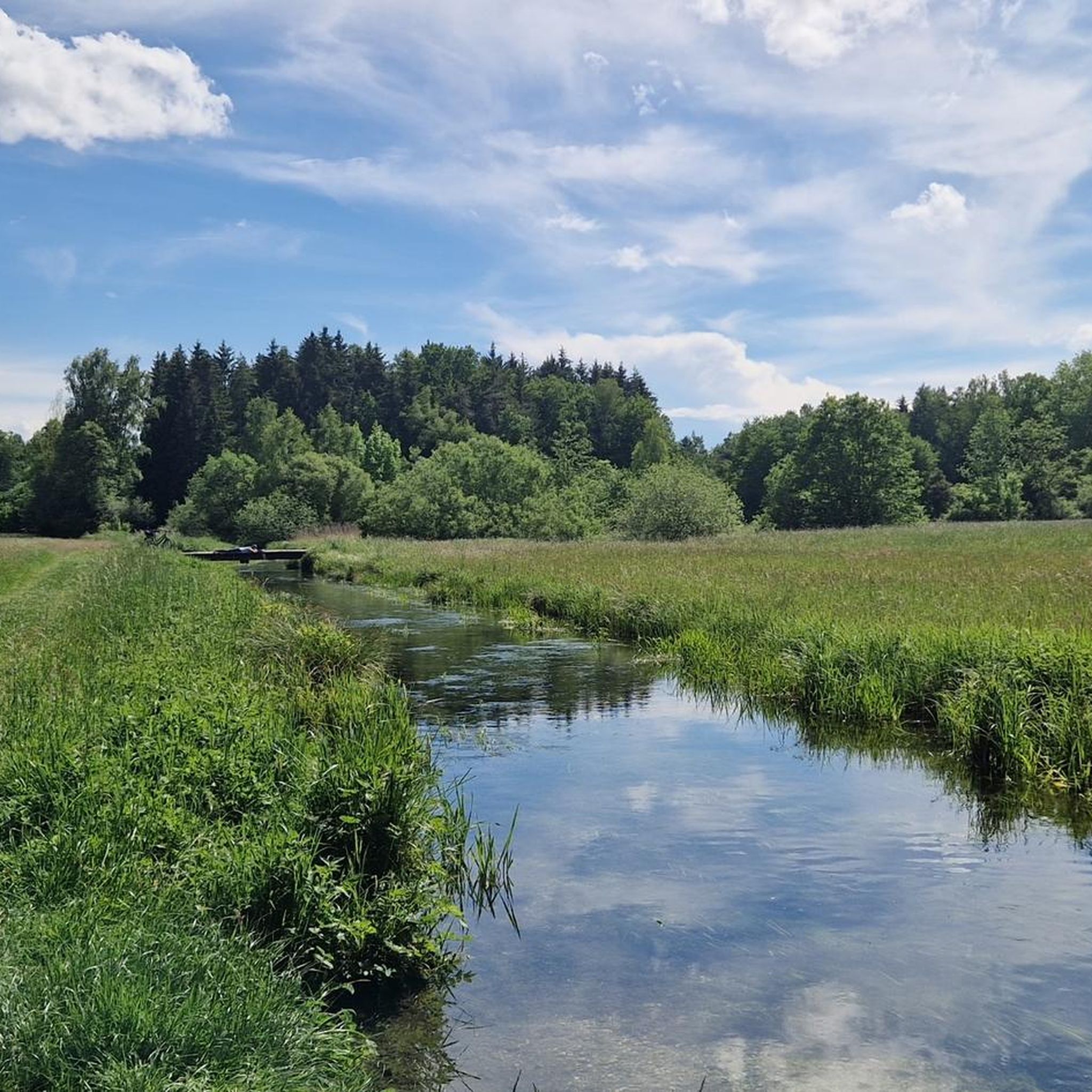
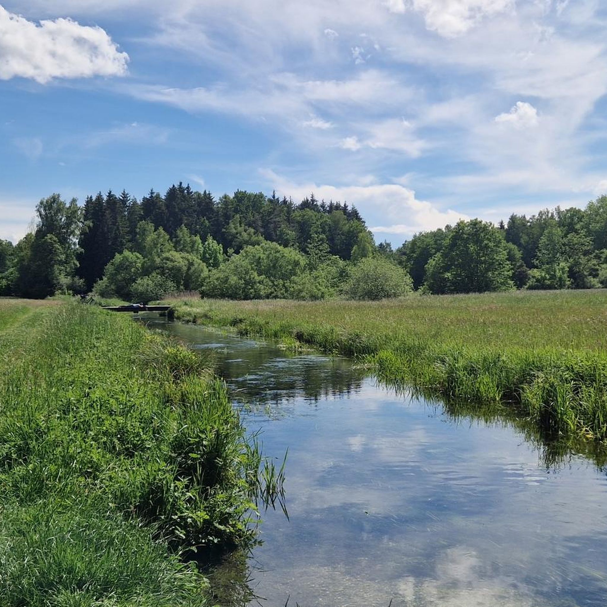
Gravel biking around Forstinning offers diverse landscapes at the foot of the Bavarian Alps. The region features expansive forests like Ebersberger Forst, providing numerous paths with both paved and unpaved sections. Water-rich areas, including the Sempt River headwaters and Egglburger See, are integrated into many routes. This varied terrain provides options for different gravel biking experiences.
Best gravel bike trails around Forstinning
- The most popular gravel bike trail is Ismaning Reservoir – Shaded Pathway Near Pliening loop from Poing,…
Last updated: July 11, 2026
4.8
(5)
26
riders
71.8km
03:30
150m
150m
Moderate gravel ride. Good fitness required. Mostly paved surfaces. Suitable for all skill levels.
10
riders
41.9km
02:29
270m
270m
Hard gravel ride. Good fitness required. You may need to push your bike for some segments of this route.

Sign up for free
5
riders
29.1km
01:50
160m
170m
Hard gravel ride. Good fitness required. You may need to push your bike for some segments of this route.
4.8
(10)
18
riders
45.6km
02:23
330m
330m
Moderate gravel ride. Good fitness required. Mostly paved surfaces. Suitable for all skill levels.
5.0
(2)
16
riders
42.9km
02:26
130m
130m
Moderate gravel ride. Good fitness required. Mostly paved surfaces. Suitable for all skill levels.
Get access to more routes and recommendations from other explorers.
Sign up for free
Already have an account?
Our route recommendations are based on thousands of hikes, rides, and runs completed by other people on komoot.
Start today with a free account
Your next adventure awaits.
Login or Signup
Tips from the Community


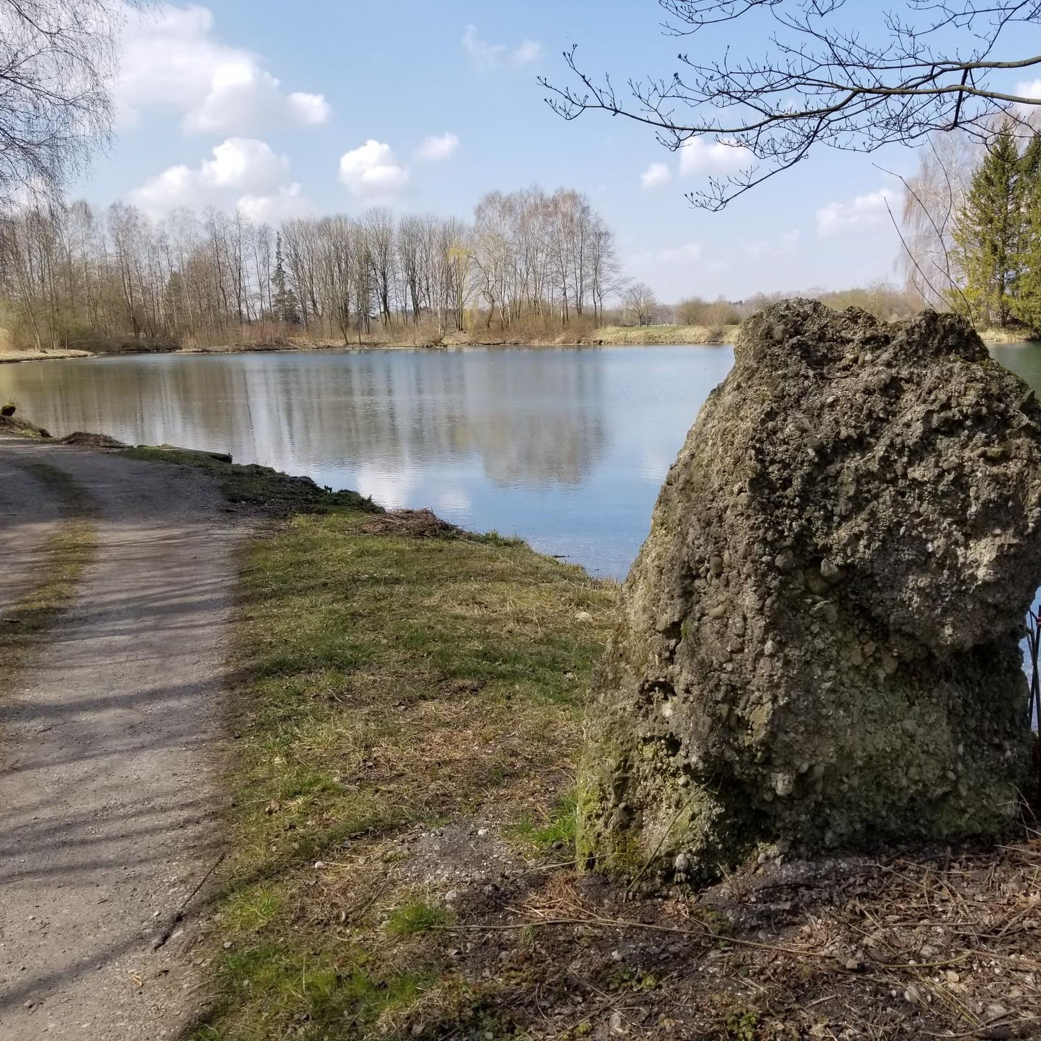
Quiet place to watch the birds - caution: danger of mosquitoes!
0
0

Karweina KG (Schlossgaststätte Falkenberg, 2025-07-07): https://www.schlossgaststaette-falkenberg.de/ Tripadvisor (Schlossgaststätte Falkenberg, 2025-07-07): https://www.tripadvisor.de/Restaurant_Review-g8551323-d2103997-Reviews-Schlossgaststatte_Falkenberg-Moosach_Upper_Bavaria_Bavaria.html Wikipedia (List of listed buildings in Moosach, 2025-07-07): https://de.m.wikipedia.org/wiki/Liste_der_Baudenkmäler_in_Moosach#D-1-75-128-10 "Inn (so-called castle inn) ... two-story plastered building with strong plasterwork and window frames as well as a flat gable roof, around 1860 … D-1-75-128-10”
3
0
Karweina KG (Schlossgaststätte Falkenberg, 2025-07-06): https://www.schlossgaststaette-falkenberg.de/ Tripadvisor (Schlossgaststätte Falkenberg, 2025-07-06): https://www.tripadvisor.de/Restaurant_Review-g8551323-d2103997-Reviews-Schlossgaststatte_Falkenberg-Moosach_Upper_Bavaria_Bavaria.html Wikipedia (List of listed buildings in Moosach, 2025-07-06): https://de.m.wikipedia.org/wiki/Liste_der_Baudenkmäler_in_Moosach#D-1-75-128-10 "Inn (so-called castle inn) ... two-story plastered building with strong plasterwork and window frames as well as a flat gable roof, around 1860 … D-1-75-128-10”
3
0
Frequently Asked Questions
How many gravel bike trails are available around Forstinning?
Forstinning offers a wide selection of gravel bike trails, with over 120 routes available. These include 46 easy, 60 moderate, and 22 difficult options, ensuring there's a suitable ride for every skill level.
What kind of terrain can I expect on gravel bike trails near Forstinning?
The terrain around Forstinning is diverse, featuring expansive forests like the Ebersberger Forst with both paved and unpaved segments. You'll also find routes through water-rich areas such as the headwaters of the Sempt River and around the picturesque Egglburger See. This mix provides varied surfaces ideal for gravel biking, from smooth paths to more challenging unpaved sections.
Are there gravel bike trails suitable for beginners in Forstinning?
Yes, Forstinning has numerous easy gravel bike trails perfect for beginners. An excellent option is the Cross on Neufarner Höhe – St. Hubertus Forest Lodge loop from Poing, an easy 17.3-mile (27.8 km) path that winds through peaceful forest landscapes, offering a gentle introduction to gravel biking.
What are some scenic viewpoints or natural features to look out for on the trails?
Many routes offer beautiful scenery. You can enjoy views of Egglburger Lake, especially from the Ludwigshöhe Observation Tower. The headwaters of the Forstinninger Sempt also provide an idyllic natural area with fish ponds and narrow paths. The Ebersberger Forst itself is a significant natural feature, offering immersive forest cycling.
Are there any loop gravel bike trails in the Forstinning area?
Yes, many gravel bike trails around Forstinning are designed as loops, allowing you to start and finish at the same point. For example, the Ismaning Reservoir – Shaded Pathway Near Pliening loop from Poing is a popular 45.1-mile (72.6 km) loop offering varied terrain.
Can I bring my dog on the gravel bike trails in Forstinning?
Generally, dogs are welcome on many outdoor trails in the Forstinning region, especially in natural areas like the Ebersberger Forst and along the Sempt River. Always keep your dog on a leash, especially near wildlife or other trail users, and ensure you carry water for them. Check local regulations for specific areas if you plan to visit nature reserves.
What is the best time of year for gravel biking in Forstinning?
Spring, summer, and autumn are generally the best times for gravel biking in Forstinning. The region's forests and lakes are particularly beautiful during these seasons. While some paths may be accessible in winter, conditions can be challenging due to snow or ice, especially on unpaved sections. Always check the weather forecast before heading out.
Are there any places to stop for food or drinks along the gravel bike routes?
Yes, you can find places to refuel. The Finsinger Alm Beer Garden and the St. Hubertus Forest Lodge are examples of establishments that can be integrated into your ride, offering opportunities for a break and refreshments.
Where can I park my car to access the gravel bike trails?
Many routes around Forstinning start from towns like Poing or Purfing, where you can typically find public parking options. For specific trailheads, it's advisable to check the starting point of your chosen route on komoot for detailed parking information, as options can vary.
What do other gravel bikers enjoy most about gravel biking in Forstinning?
The gravel biking experience in Forstinning is highly rated by the komoot community, with an average score of 4.5 stars from over 60 reviews. Riders often praise the diverse landscapes, the mix of forest paths and open areas, and the tranquility found along routes like the Ludwigshöhe Observation Tower – View of Egglburger Lake loop from Poing, which offers scenic views and varied terrain.
Are there any longer gravel biking routes for experienced riders?
Yes, for experienced riders seeking longer distances, the region offers routes that can be combined or are part of larger networks. The Steinsee – New Asphalt Towards Purfing loop from Poing, at 28.3 miles (45.6 km), provides a moderate challenge. Additionally, Forstinning is connected to more extensive routes like the 57-kilometer Sempt-Mangfall Cycle Path and segments of the 368-kilometer Ring of Regions, offering ample opportunities for longer adventures.
Can I reach the gravel bike trailheads using public transport?
While specific public transport connections directly to every trailhead might vary, towns like Poing, which serve as common starting points for many routes, are generally accessible by public transport. It's recommended to check local bus and train schedules to plan your journey to the nearest accessible point.
Most popular routes around Forstinning
Most popular attractions around Forstinning

Get inspired with the komoot mobile app


Explore more
Browse the best Gravel rides in other regions.
