The best gravel rides around Königswalde
4.3
(12)
65
riders
30
rides
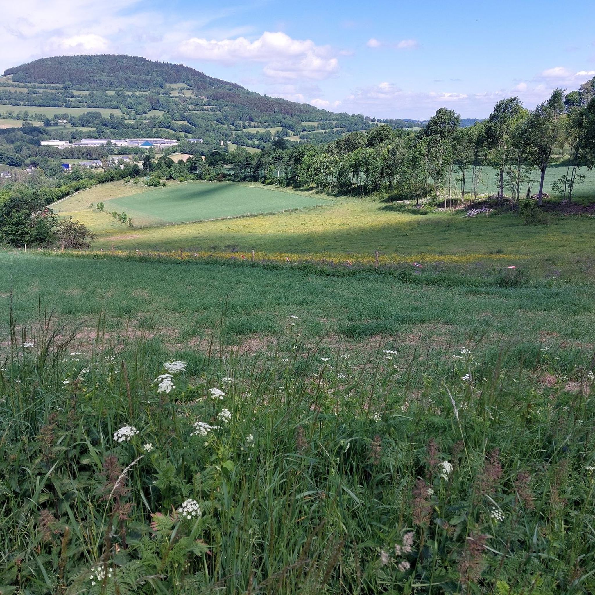
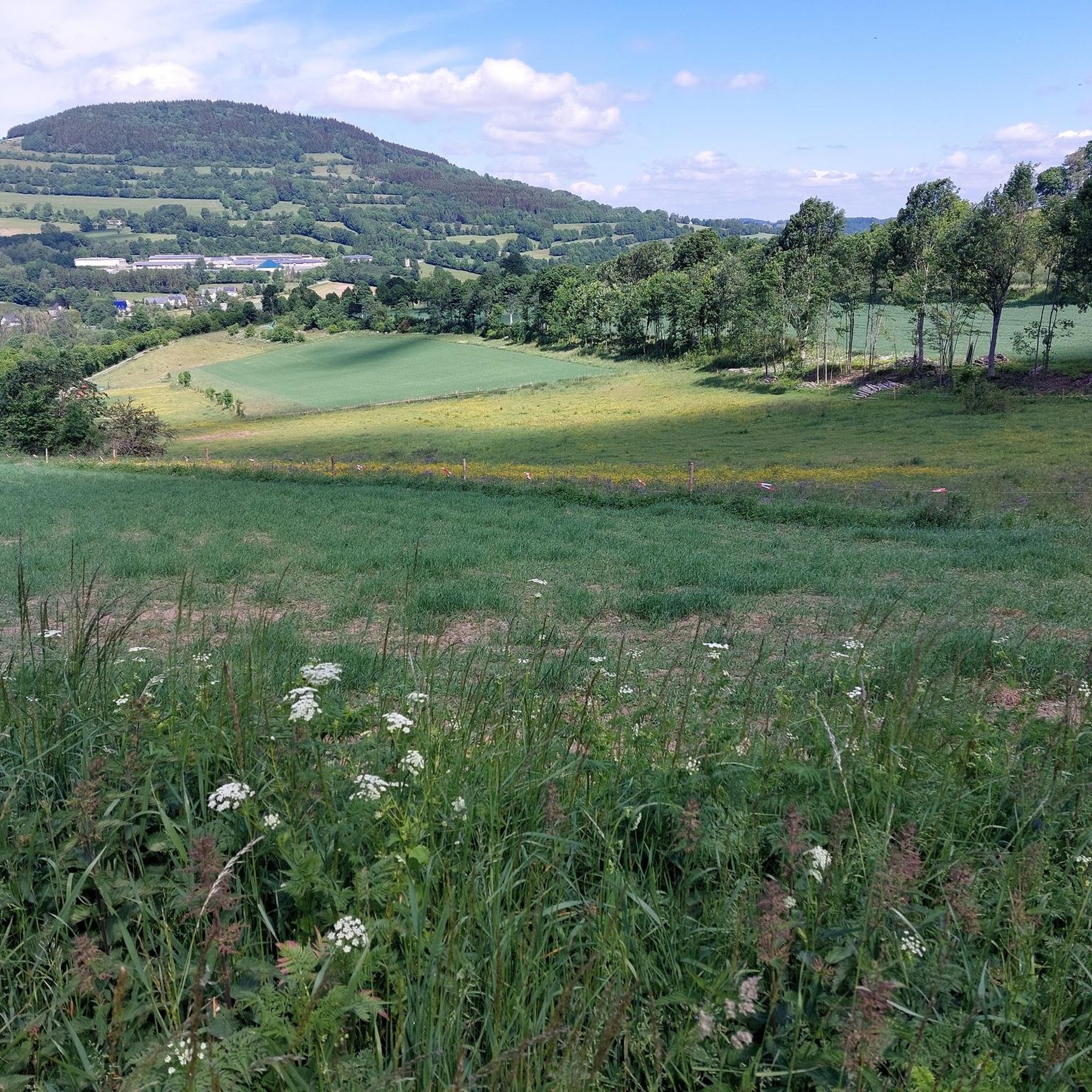
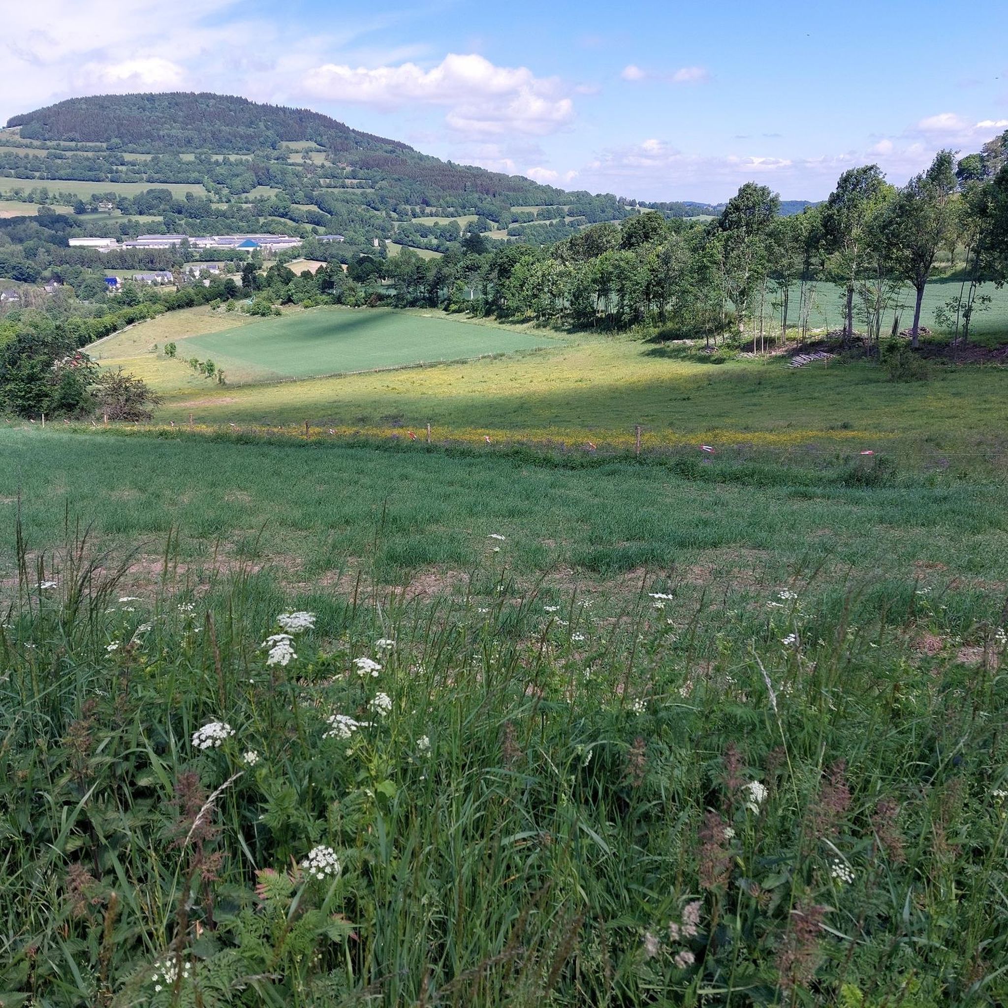
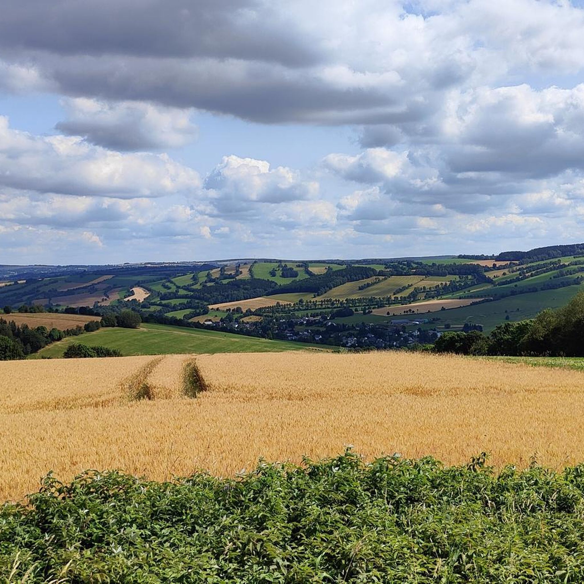
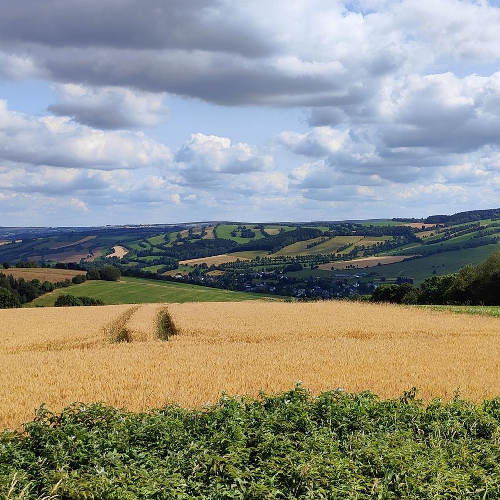
Gravel biking around Königswalde offers diverse landscapes within the Pöhlatal valley and the Upper Ore Mountains. The region is characterized by forested slopes and an extensive network of trails, providing varied terrain suitable for gravel biking. The protected valley location and numerous paths, many explicitly suitable for cycling, contribute to an engaging experience. This area features a mix of challenging climbs and scenic routes through a unique cultural landscape.
Best gravel bike trails around Königswalde
- The most popular gravel bike…
Last updated: July 2, 2026
4.2
(5)
24
riders
43.6km
02:38
610m
600m
Hard gravel ride. Very good fitness required. Mostly paved surfaces. Suitable for all skill levels.
4.8
(5)
15
riders
Hard gravel ride. Very good fitness required. You may need to push your bike for some segments of this route.

Sign up for free
7
riders
49.6km
03:13
920m
920m
Hard gravel ride. Very good fitness required. Mostly paved surfaces. Suitable for all skill levels.
5.0
(1)
4
riders
52.6km
03:40
700m
700m
Hard gravel ride. Very good fitness required. Mostly paved surfaces. Suitable for all skill levels.
6
riders
Hard gravel ride. Very good fitness required. Mostly paved surfaces. Suitable for all skill levels.
Get access to more routes and recommendations from other explorers.
Sign up for free
Already have an account?
Our route recommendations are based on thousands of hikes, rides, and runs completed by other people on komoot.
Start today with a free account
Your next adventure awaits.
Login or Signup
Tips from the Community

Zwäntzer „Lieblingsplatzl“ in new attire since November 2024. "It's a magnificent view over our hometown from the old railway track across the valley towards the tower of the Holy Trinity Church and on to Ziegenberg, when it's not raining. A place to pause and be grateful that we can live so idyllically. Here you can enjoy the vastness and feel a sense of belonging." In May 2024, two wave benches were purchased for this beautiful "Platzl" and a photo frame was added later. https://zwoenitzer-anzeiger.de/2024/11/12/zwaentzer-lieblingsplatzl-in-neuem-gewand/
0
0

a very beautiful view
0
0

With every step, closer to the summit – the Fichtelberg climb on the Stoneman Miriquidi Road. From the intersection, it's not far anymore, and motivation gets a final boost.
1
0

Parking, ideal as a starting point for activities in the Pressnitz Valley
0
1

A wonderful opportunity for a rest on the numerous benches overlooking the heath pond.
1
0

Very beautiful, wooded area. I live here, and if anyone would like to explore the area, I'd be happy to accompany them...please contact me. Cyclist Chris
0
0

It's just beautiful here😊.
0
1

The first weather observer on this summit was the innkeeper of the Fichtelberghaus. He recorded his weather observations from 1890 onwards, but from 1898 onwards only intermittently, and from 1910 onwards not at all. The head of the Royal Saxon State Meteorological Observatory, Paul Schreiber, suggested the construction of a permanent weather observatory. Temperature, wind speed, and precipitation amounts have been continuously recorded here since January 1, 1916. The strongest storm recorded here was on January 3, 1976, with a peak gust speed of 216 kilometers per hour. The coldest day on the summit was February 9, 1956, with minus 30.4 degrees Celsius; the warmest was July 27, 1983, with plus 30.8 degrees Celsius. The highest snow cover was measured in March 1944: 3.35 meters. The year 1951 was bad for Fichtelberg tourists: it held the record for foggy days with 315.
13
1
Frequently Asked Questions
How many gravel bike trails are available in Königswalde?
Königswalde offers a wide network of trails, with over 40 gravel bike routes available for exploration. These routes traverse the diverse landscapes of the Pöhlatal valley and the Upper Ore Mountains, providing varied terrain for all levels.
What kind of terrain can I expect on gravel bike trails in Königswalde?
You can expect a mix of forested slopes, picturesque valley paths, and varied inclines characteristic of the Ore Mountains. Many routes feature significant elevation changes, offering both challenging climbs and rewarding descents through a unique cultural landscape with well-preserved half-timbered houses and hedge structures.
Are there any easy gravel bike trails suitable for beginners or families in Königswalde?
While many routes in the region feature significant elevation, there are options with lighter inclines, such as sections of the 'Großer Ringweg' (approx. 8 km), which are explicitly noted as good for cycling. These paths are ideal for those seeking a less strenuous ride or for families looking for a pleasant outing.
What are some notable viewpoints or natural features I can see along the gravel bike trails?
The region is rich in scenic spots. You can find impressive views from the Bärenstein Summit and Observation Tower, offering vistas down to the Cranzahl Talsperre. The Pöhlberg Observation Tower also provides panoramic views. Additionally, you might encounter nature monuments like the Königswalder Lichte Hainwiese and Königswalder Orchideenwiese, highlighting the area's natural beauty.
What do other gravel bikers enjoy most about gravel biking in Königswalde?
The area is highly rated by the komoot community, with an average score of 4.8 stars from over 8 reviews. Riders often praise the diverse landscapes, the extensive trail network, and the engaging experience offered by the varied terrain and scenic beauty of the Pöhlatal valley and Ore Mountains.
Are there any circular gravel bike routes around Königswalde?
Yes, many of the gravel bike routes in Königswalde are designed as loops, allowing you to start and end at the same point. For instance, the popular Hahn Bridge – Schmalzgrube station loop from Königswalde is a 43.6 km circular trail that navigates varied terrain.
What is the typical duration for a gravel bike ride in Königswalde?
Ride durations vary significantly based on the route's length and difficulty. For example, the View of the Pöhlberg – Přísečnice Reservoir loop from Annaberg-Buchholz unterer Bf, a difficult 58.9 km path, typically takes around 4 hours 24 minutes. Shorter, easier routes will naturally take less time.
Are there any routes that pass by lakes or reservoirs?
Yes, several routes offer views of or pass by local water bodies. For example, the Markersbach Lower Reservoir – Fichtelberghaus Bell Tower loop from Scheibenberg leads through forested slopes and past reservoirs, including the Lower Basin of the Markersbach Pumped Storage Plant. You can also find the Cranzahl Dam in the vicinity.
What is the best time of year for gravel biking in Königswalde?
The spring, summer, and autumn months generally offer the best conditions for gravel biking in Königswalde. During these seasons, the weather is typically more stable, and the trails are clear, allowing you to fully enjoy the forested slopes and scenic views of the Ore Mountains.
Are there any particularly challenging gravel bike routes for experienced riders?
Absolutely. For experienced riders seeking a challenge, routes like the Final Climb to Klínovec Summit – Fichtelberghaus Bell Tower loop from Annaberg-Buchholz offer significant elevation gains and longer distances, pushing your limits through the demanding terrain of the Upper Ore Mountains.
Where can I park my car when visiting Königswalde for gravel biking?
Königswalde, being a community within the Ore Mountains, typically offers various parking options, especially near trailheads or in village centers. While specific parking locations for each route aren't detailed here, you can usually find public parking areas in and around the main towns and starting points of popular trails.
Can I reach the gravel bike trails in Königswalde using public transport?
The region has public transport connections, particularly to larger towns like Annaberg-Buchholz, which serves as a starting point for several routes. From these hubs, local buses or regional trains can often get you closer to the trail networks in and around Königswalde, though direct access to every trailhead might require some planning.
Most popular routes around Königswalde
Most popular attractions around Königswalde

Get inspired with the komoot mobile app


Explore more
Browse the best Gravel rides in other regions.
