The best gravel rides around Weidenhahn
4.6
(29)
178
riders
61
rides
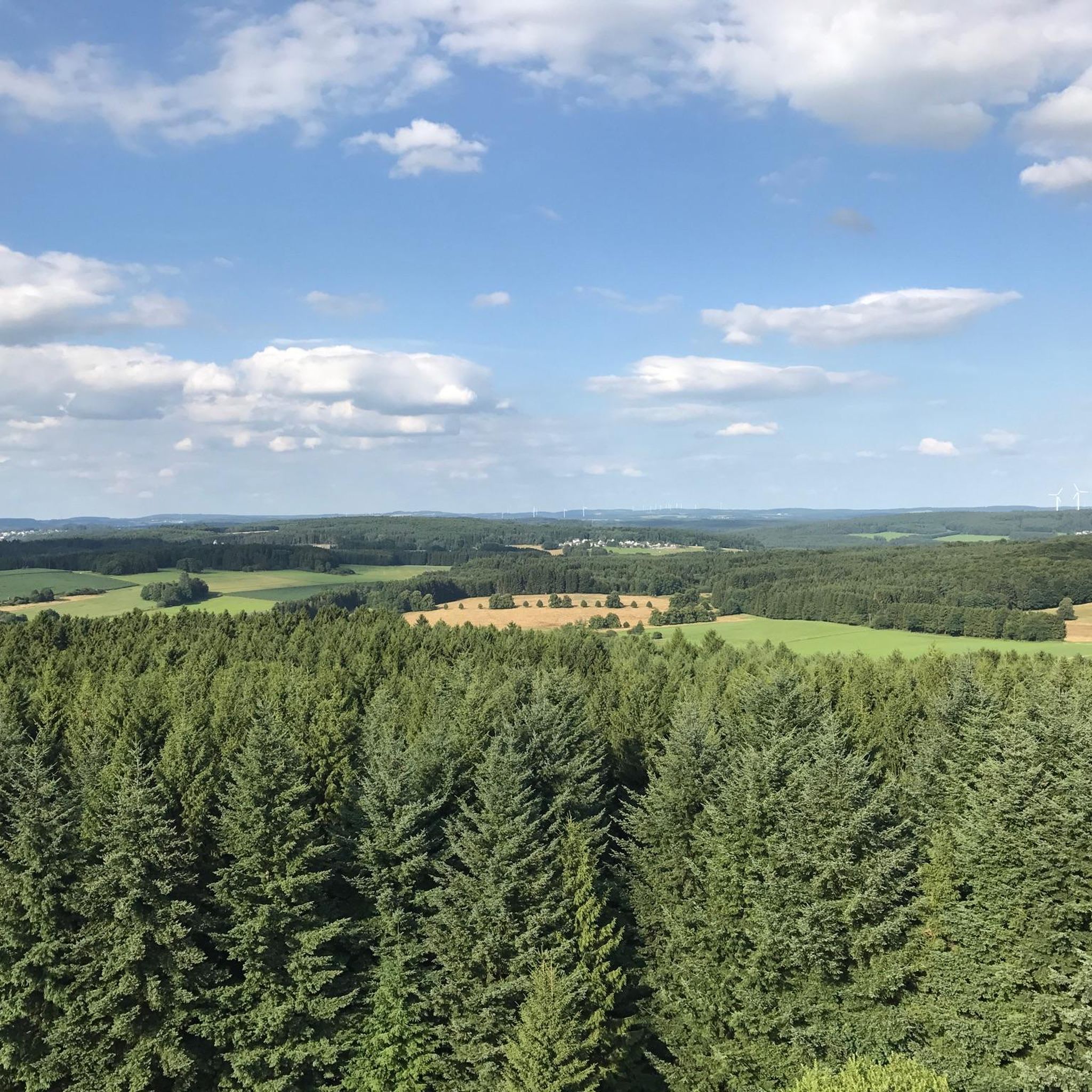
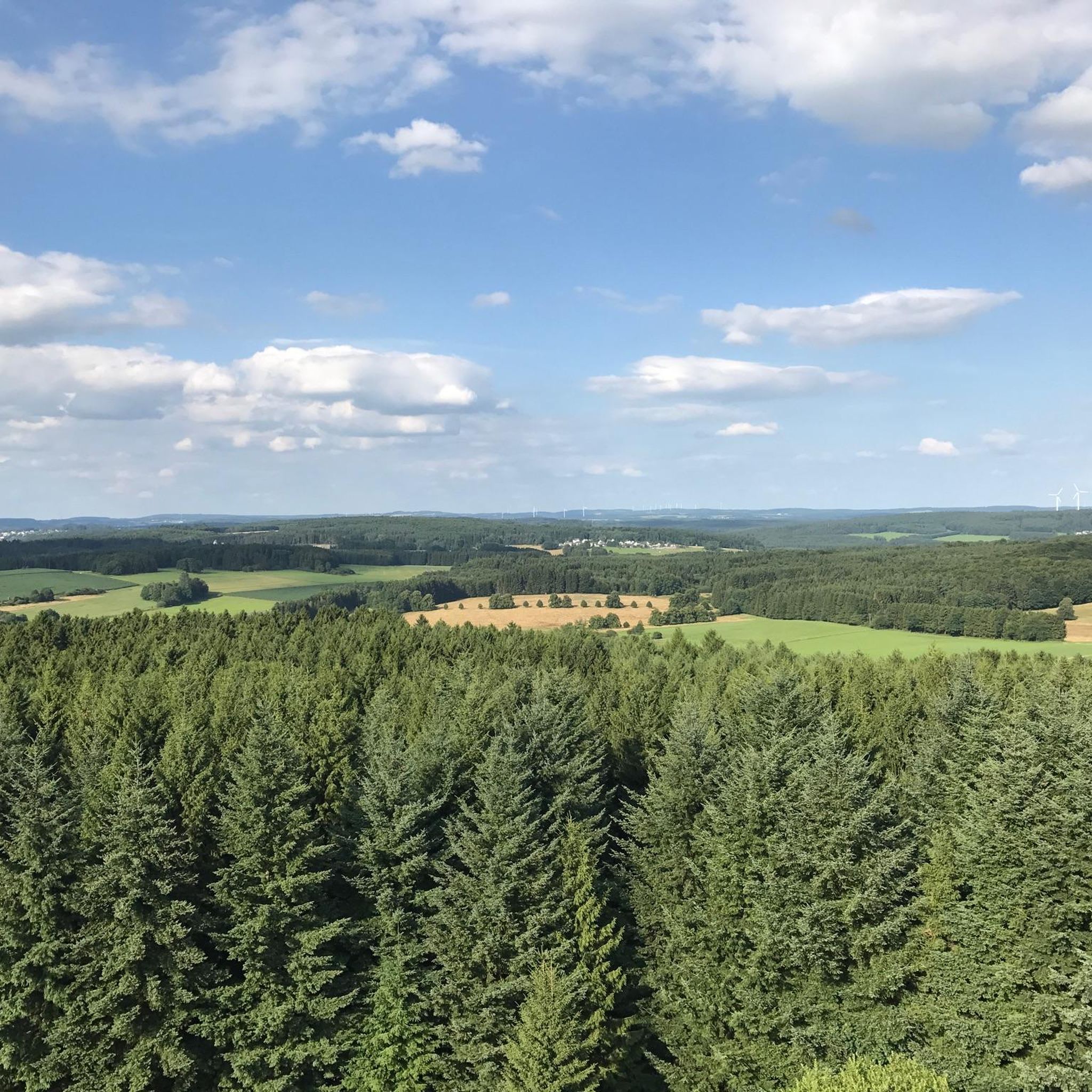
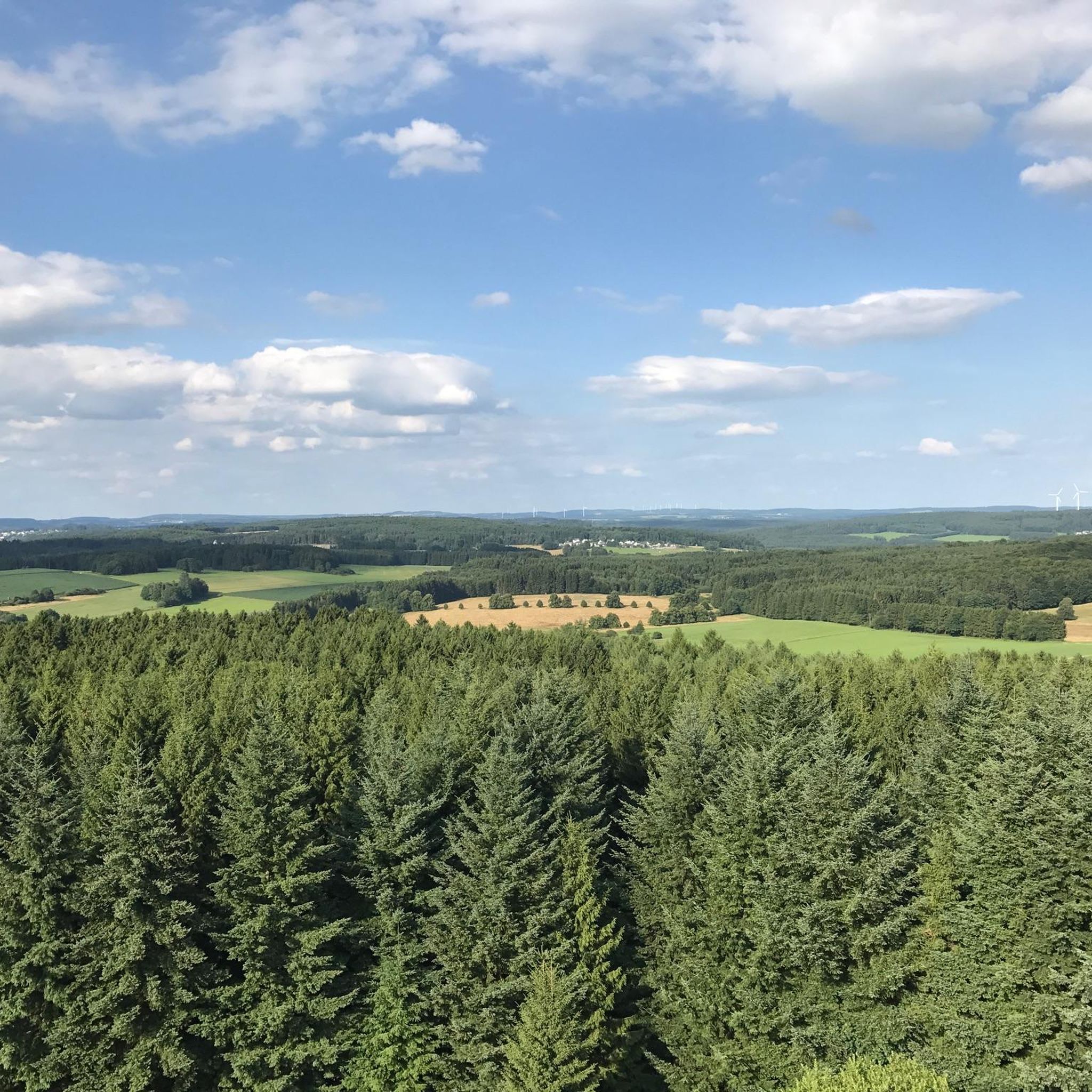
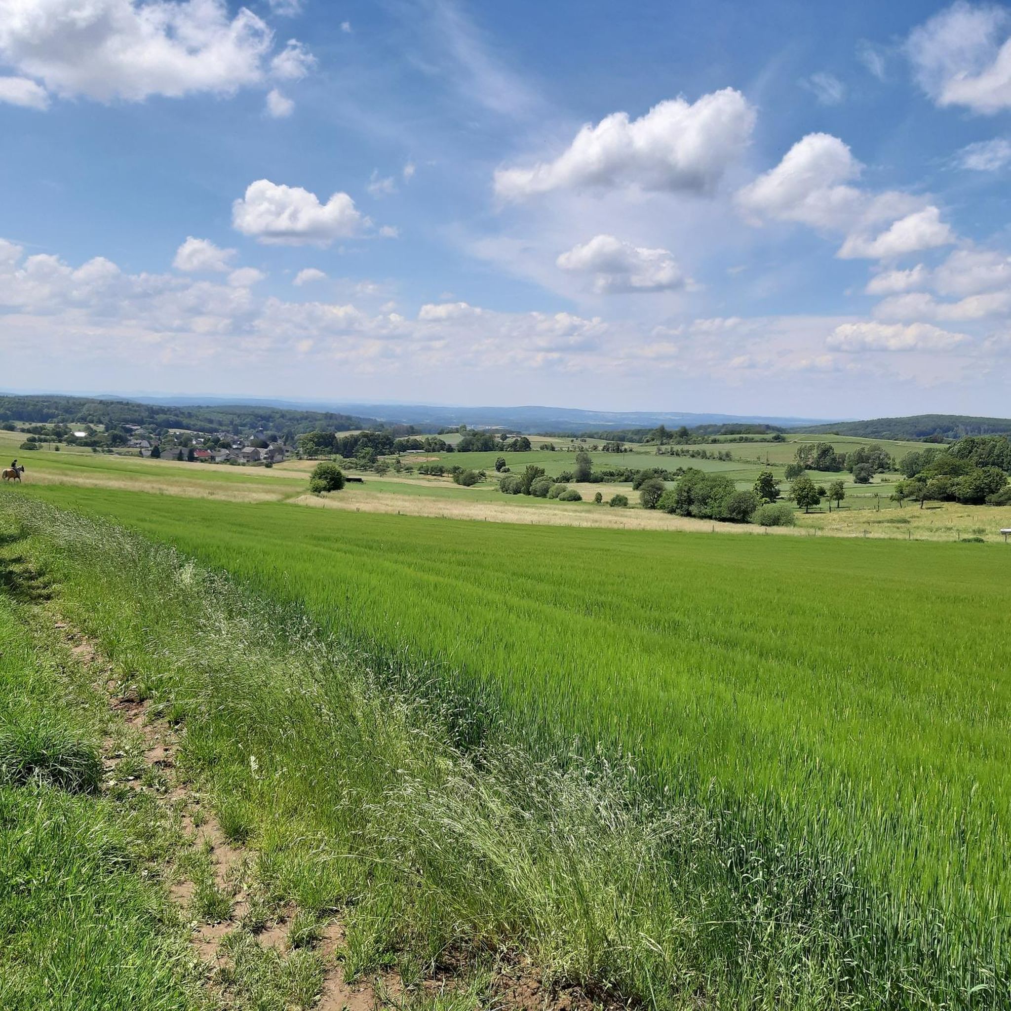
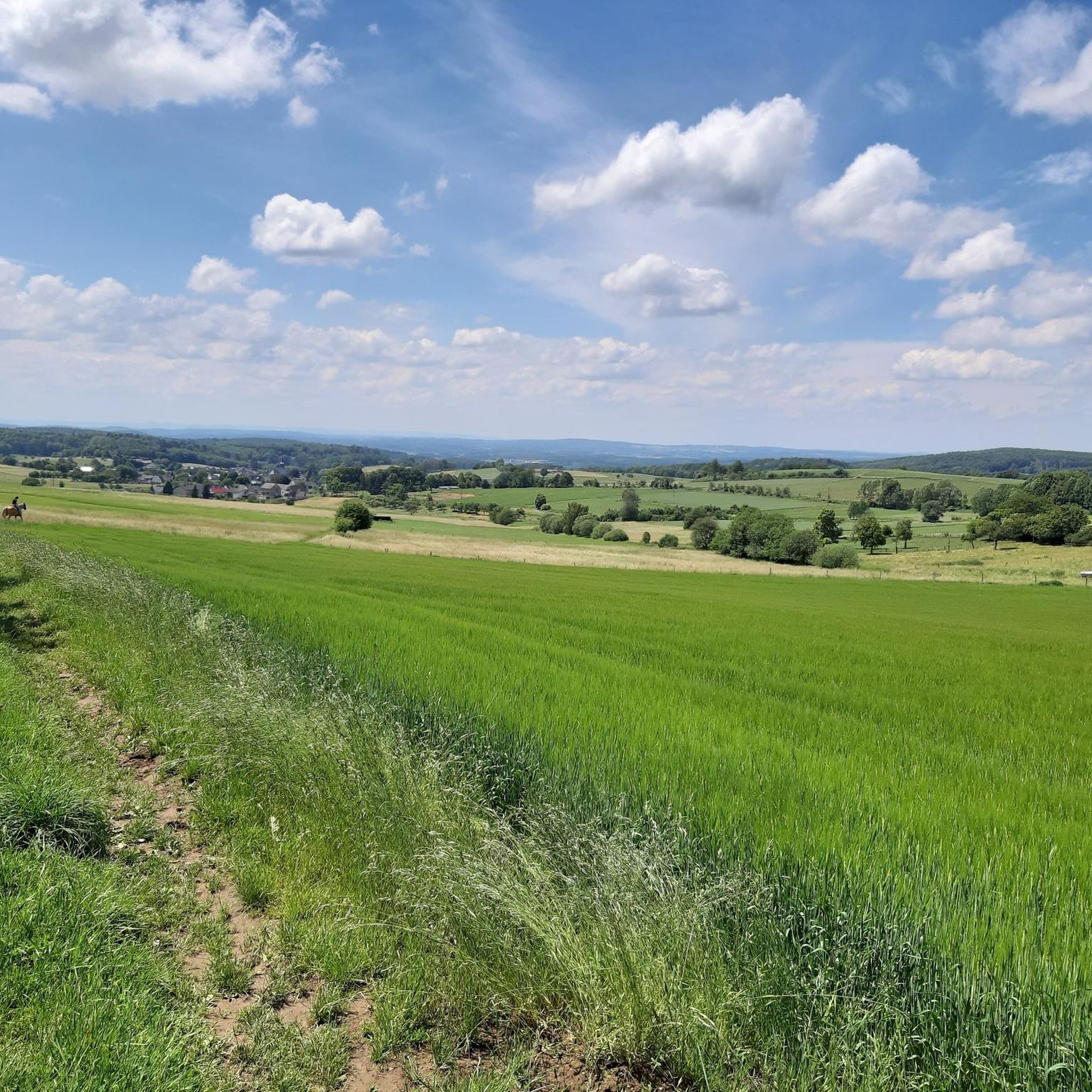
Gravel biking around Weidenhahn is defined by the undulating terrain of the Westerwald region, featuring extensive forests and a network of paths connecting small villages and natural areas. The landscape includes rolling hills and open stretches, providing varied surfaces for gravel bike routes. This area offers a mix of ascents and descents, with routes often passing by local ponds and through wooded sections.
Best gravel bike trails around Weidenhahn
- The most popular gravel bike trail is Dreifelder Pond – Tongrube…
Last updated: July 2, 2026
5.0
(2)
9
riders
43.6km
02:52
540m
540m
Hard gravel ride. Very good fitness required. Mostly paved surfaces. Suitable for all skill levels.
4.3
(4)
11
riders
32.1km
02:10
490m
490m
Hard gravel ride. Very good fitness required. Mostly paved surfaces. Suitable for all skill levels.

Sign up for free
5.0
(1)
8
riders
31.0km
02:18
430m
430m
Moderate gravel ride. Good fitness required. Mostly paved surfaces. Suitable for all skill levels.
3.0
(1)
5
riders
25.9km
01:52
300m
300m
Moderate gravel ride. Good fitness required. Mostly paved surfaces. Suitable for all skill levels.
5
riders
22.2km
01:31
210m
210m
Moderate gravel ride. Good fitness required. Mostly paved surfaces. Suitable for all skill levels.
Get access to more routes and recommendations from other explorers.
Sign up for free
Already have an account?
Our route recommendations are based on thousands of hikes, rides, and runs completed by other people on komoot.
Start today with a free account
Your next adventure awaits.
Login or Signup
Tips from the Community

... simply wonderful to linger in
1
0
This is a lovely place to spend some time.
1
0

The yellow castle is always a visual highlight on the way 👍
0
0

great surroundings… great view 👁️👁️ recommended
1
0

Thiel's Hut, just before the Alarmstange. A great rest stop with a beautiful view.
0
0

Signpost at an intersection
0
0
The Malberg is a beautiful destination; those who manage the final climb will be rewarded with a great spot with large boulders.
1
1
Frequently Asked Questions
How many gravel bike trails are available around Weidenhahn?
There are over 75 gravel bike routes in the Weidenhahn area, offering a wide range of options for different skill levels. You'll find everything from easy rides to more challenging adventures.
Are there easy gravel bike trails suitable for beginners or families in Weidenhahn?
Yes, Weidenhahn offers several easy gravel bike trails perfect for beginners or family outings. These routes typically feature less elevation gain and smoother surfaces. For a moderate option that's still accessible, consider the Dreifelder Pond – Dreifelder Pond loop from Freilingen, which is 16.5 km long.
What are some challenging gravel bike routes in the Weidenhahn area?
For experienced riders seeking a challenge, the region provides routes with significant climbs and descents. A notable difficult route is the Dreifelder Pond – Tongrube Pond, Alpenrod loop from Westerwald, spanning 32 km with substantial elevation changes.
What kind of terrain can I expect on gravel bike trails around Weidenhahn?
Gravel biking around Weidenhahn is characterized by the undulating terrain of the Westerwald region. You'll encounter extensive forests, rolling hills, and open stretches, providing varied surfaces. Routes often feature a mix of ascents and descents, passing by local ponds and through dense wooded sections.
Are there any scenic viewpoints or natural attractions along the gravel bike routes?
Absolutely! The region is rich in natural beauty. Many routes offer scenic views and pass by attractions like the Dreifelder Pond, Milky Lake, and the Malberg summit. The Köppel Observation Tower loop also provides excellent panoramic views.
What is the best season for gravel biking in Weidenhahn?
The Westerwald region is generally pleasant for gravel biking from spring through autumn. Spring offers lush greenery, while autumn provides beautiful foliage. Summer is also great, but be mindful of warmer temperatures. Winter riding is possible, but trails may be muddy or icy, especially in shaded forest sections.
Are there circular gravel bike routes available in Weidenhahn?
Yes, many of the gravel bike routes around Weidenhahn are designed as loops, allowing you to start and end at the same point. Examples include the View of Malberg – Long Mile loop from Helferskirchen and the View of Malberg – View of Malberg loop from Helferskirchen.
What do other gravel bikers say about the trails in Weidenhahn?
The gravel bike trails in Weidenhahn are highly rated by the komoot community, with an average score of 4.5 stars from over 30 reviews. Riders often praise the varied terrain, the quiet woodlands, and the scenic pond areas that define the region's routes.
Are there any specific landmarks or points of interest to look out for?
Beyond the natural beauty, you can discover interesting landmarks such as the Summit cross on Blasiussteig, the Helleberg Observation Tower, and the Beilstein Basalt Summit with Gazebo, which are often accessible from or visible along various routes.
Can I find routes that pass through villages or offer opportunities for a break?
While specific pub stops aren't detailed for every route, many trails connect small villages in the Westerwald region. These villages often provide opportunities for a break, a meal, or to refill water bottles. Planning your route with komoot allows you to identify such points along your ride.
How long do gravel bike trails typically take to complete in this area?
The duration varies significantly based on the route length and your pace. For example, a moderate 25.8 km route like the View of Malberg – Long Mile loop can take around 1 hour 51 minutes, while longer, more challenging routes may require 2.5 to 3 hours or more.
Most popular routes around Weidenhahn
Most popular attractions around Weidenhahn

Get inspired with the komoot mobile app


Explore more
Browse the best Gravel rides in other regions.
