The best gravel rides around Hartmannsdorf-Reichenau
4.4
(53)
367
riders
21
rides
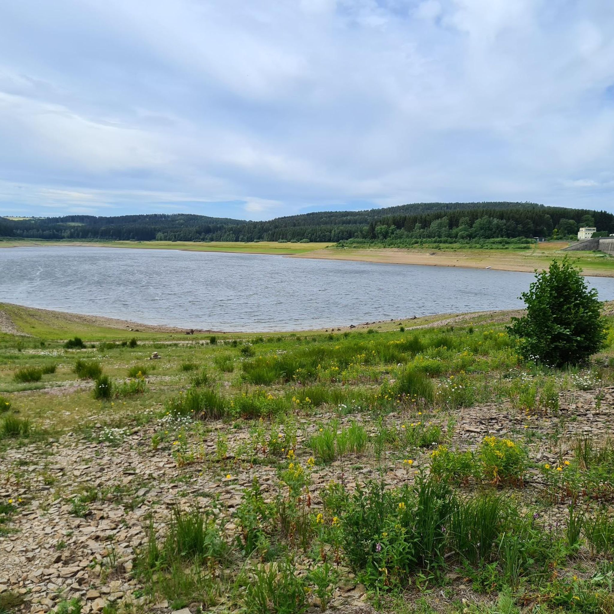
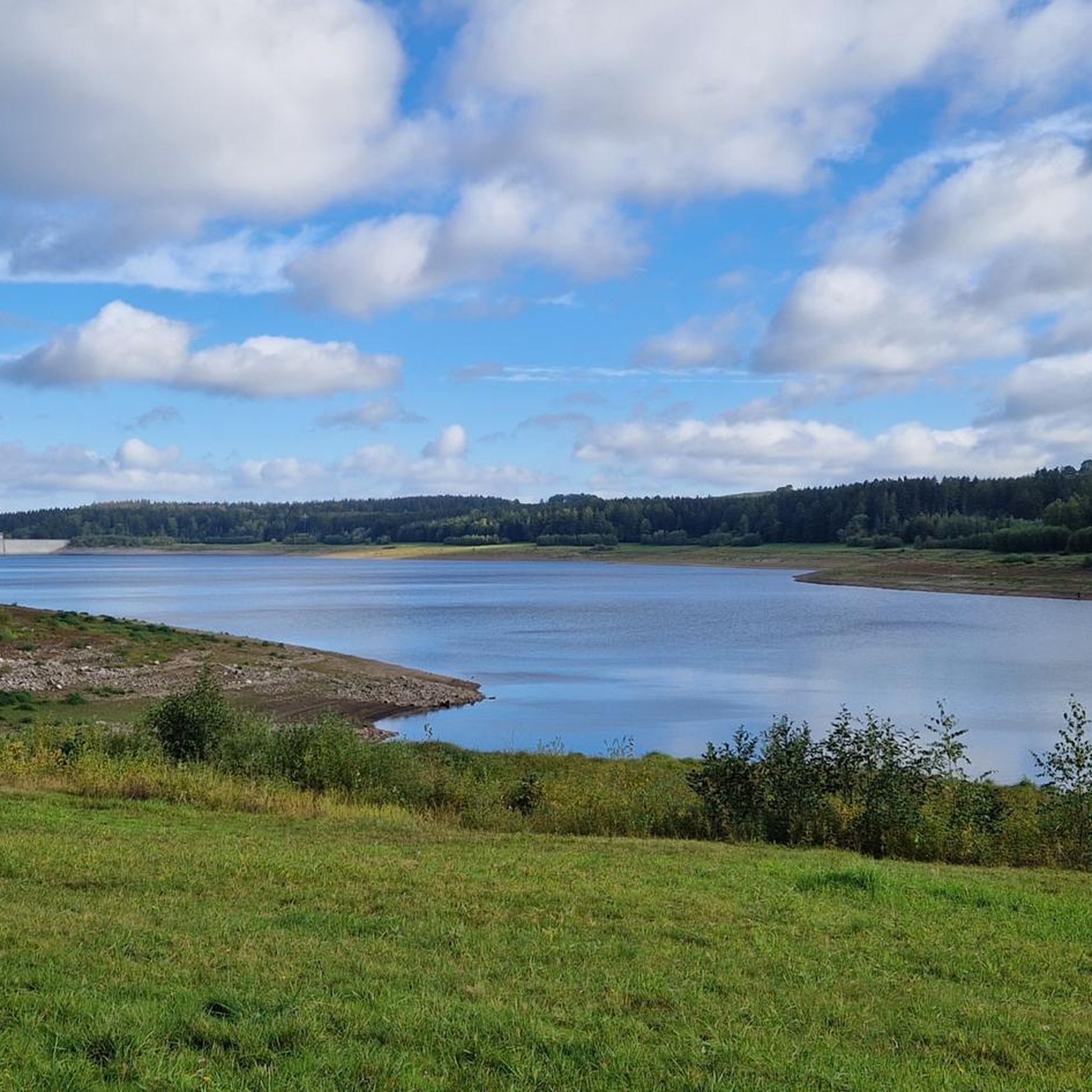
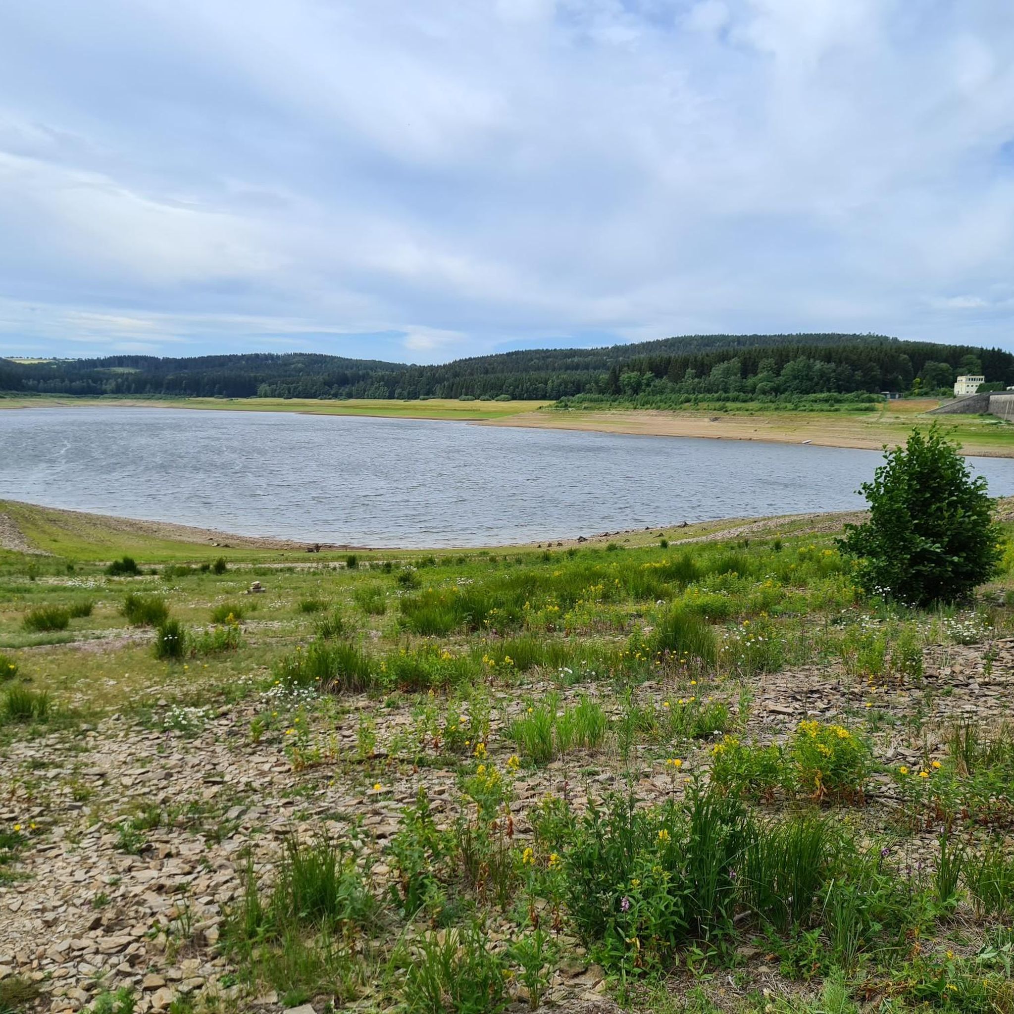
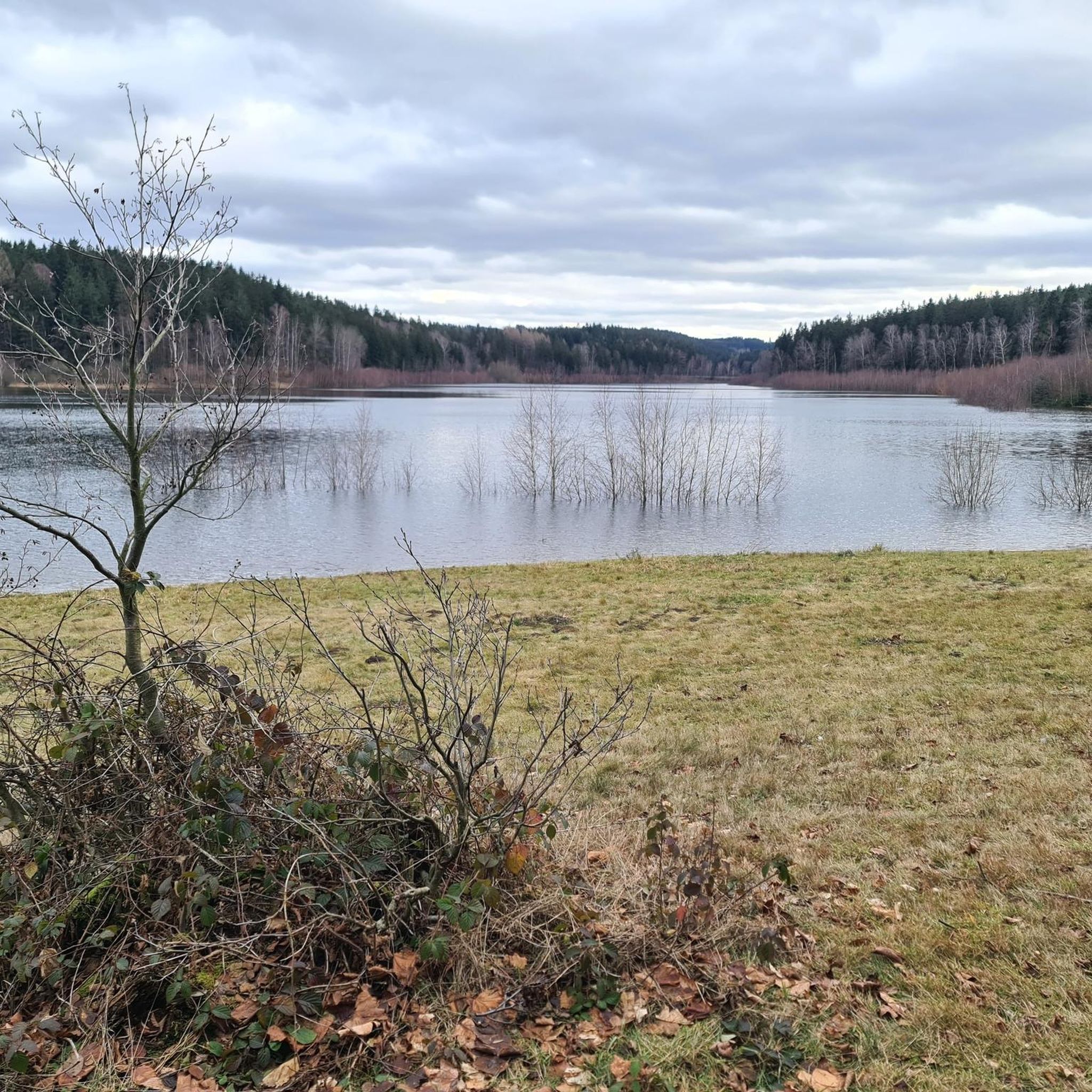
Gravel bike trails around Hartmannsdorf-Reichenau are situated at the foot of the Ore Mountains, offering a diverse landscape for cycling. The region features varied terrains including fine gravel paths, forest roads, and gorges. This topography allows for seamless transitions between different surfaces, providing a dynamic experience. Natural features like the Klingenberg Dam and extensive forest networks contribute to the area's appeal for gravel biking.
Best gravel bike trails around Hartmannsdorf-Reichenau
- The most popular gravel bike trail is View of Frauenstein…
Last updated: October 20, 2026
4.6
(15)
109
riders
52.6km
03:51
970m
980m
Hard gravel ride. Very good fitness required. Mostly paved surfaces. Suitable for all skill levels.
4.4
(12)
93
riders
66.0km
04:45
1,300m
1,300m
Hard gravel ride. Very good fitness required. You may need to push your bike for some segments of this route.

4.3
(3)
15
riders
42.3km
02:41
580m
580m
Hard gravel ride. Very good fitness required. Mostly paved surfaces. Suitable for all skill levels.
4.5
(13)
104
riders
Hard gravel ride. Very good fitness required. Mostly paved surfaces. Suitable for all skill levels.
4.0
(5)
16
riders
38.5km
02:20
440m
440m
Moderate gravel ride. Good fitness required. Mostly paved surfaces. Suitable for all skill levels.
Get access to more routes and recommendations from other explorers.
Already have an account?
Our route recommendations are based on thousands of hikes, rides, and runs completed by other people on komoot.
Start today with a free account
Your next adventure awaits.
Other adventures around Hartmannsdorf-Reichenau

Tips from the Community

Next to the actual railway embankment, which is relatively strenuous to walk on, there is a very easy asphalt path. The route leads mainly through the forest.
0
0

It is simply wonderfully beautiful here 😊.
0
1


I really like the shelter that was added later. It protects the bench better and allows you to quickly take shelter from wind and weather. It's very comfortable to sit there.
2
0


Beautiful rest area. Now with a shelter. View of the Schwartenberg (Seiffen). Great panorama. This spot is highly recommended.
0
0
A beautiful spot to linger, with a lovely carved wooden bench. Especially lovely in the morning at sunrise. Definitely worth a stop.
1
0

Beautiful, but sometimes a bit crowded
0
0
Frequently Asked Questions
What kind of terrain can I expect on gravel bike trails around Hartmannsdorf-Reichenau?
The region, situated at the foot of the Ore Mountains, offers a diverse landscape ideal for gravel biking. You'll encounter a mix of fine gravel paths, forest roads, and potentially even root-laden trails, allowing for a dynamic riding experience as you transition between different surfaces.
Are there many gravel bike routes available in Hartmannsdorf-Reichenau?
Yes, komoot features over 30 gravel bike routes around Hartmannsdorf-Reichenau. These routes are highly rated by the komoot community, with an average score of 4.5 stars from over 40 reviews.
What are the difficulty levels of the gravel bike trails in this area?
The gravel bike trails around Hartmannsdorf-Reichenau cater to various skill levels, with options ranging from moderate to difficult. Out of the 30 available routes, 9 are classified as moderate and 21 as difficult, often featuring significant elevation gains.
Are there any circular gravel bike routes available?
Yes, many routes in the area are circular. For example, the difficult View of Frauenstein Castle – Shelter at Marktsteig loop from Holzhau offers panoramic views over 53 kilometers, and the Fláje Reservoir – Fláje Dam loop from Holzhau is a 42.1-kilometer trail through forested areas.
What natural features or landmarks can I see along the gravel bike trails?
The region is rich in natural beauty and interesting landmarks. You can integrate sights like the scenic Lichtenberg Dam or the impressive Rock sea at Stephanshöhe into your rides. The Steinkuppe Summit also offers rewarding views.
Are there any historical sites or unique attractions to explore near the trails?
Absolutely. The area has a history tied to mining, with sites like the Reicher Silbersegen Mine Entrance and the Aurora Erbstollen Silver Mine. You might also discover unique spots like the Old beer cellar at the Pöbelbach.
What is the longest gravel bike route in the area?
One of the longer and more challenging routes is the Purschenstein Castle – Rauschenbach Dam loop from Holzhau Skilift, which spans 65.7 kilometers and features significant elevation gain, taking over 6 hours to complete.
What do other gravel bikers enjoy most about riding in Hartmannsdorf-Reichenau?
The area is highly rated by the komoot community, with an average score of 4.5 stars. Reviewers often praise the diverse terrain, the challenging climbs, and the scenic beauty, including dense forests and impressive dam areas like the Klingenberg Dam.
Is there a moderate gravel bike route I could try?
Yes, for a moderate challenge, consider the Windbergbahn Cycle Path – Rabenauer Grund loop from Dippoldiswalde. This 38.5-kilometer route has a manageable elevation gain and can typically be completed in under 3 hours.
Are there any routes that offer panoramic views?
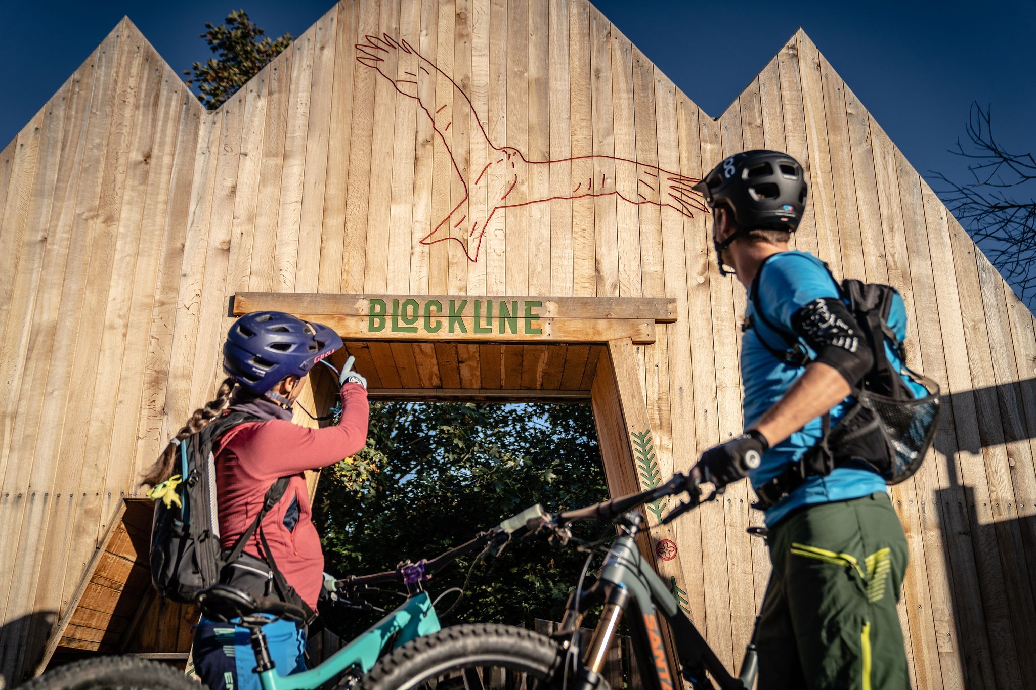
Many routes provide stunning vistas, especially those reaching higher elevations. The Blockline Portal "Fische" – View of Frauenstein Castle loop from Mulda (Sachs) is a difficult 53.2-kilometer route known for its rewarding views, including those of Frauenstein Castle.
What is the best time of year for gravel biking in Hartmannsdorf-Reichenau?
The region is generally well-suited for cycling from spring through autumn. The diverse landscapes, including forests and dam areas, offer pleasant riding conditions. Checking local weather forecasts is always recommended for the best experience.
Most popular routes around Hartmannsdorf-Reichenau
Most popular attractions around Hartmannsdorf-Reichenau

Get inspired with the komoot mobile app


Explore more
Browse the best Gravel rides in other regions.
