The best gravel rides around Appenweier
4.6
(195)
1,163
riders
152
rides
Gravel biking around Appenweier offers a diverse landscape characterized by river valleys, agricultural plains, and the foothills of the Black Forest. The region features a network of paths along waterways like the Rench River and its tributaries, often incorporating dam trails. Riders can expect varied terrain, from flat, fast sections to more challenging climbs into the surrounding hills, providing scenic views of the Rhine Valley and local countryside.
Best gravel bike trails around Appenweier
- The most popular gravel bike trail…
Last updated: October 19, 2026
6
riders
64.3km
06:01
1,650m
1,650m
Hard gravel ride. Very good fitness required. Mostly paved surfaces. Suitable for all skill levels.
4.3
(4)
39
riders
43.6km
02:58
780m
780m
Hard gravel ride. Very good fitness required. Mostly paved surfaces. Suitable for all skill levels.

4.8
(4)
22
riders
73.2km
04:45
1,210m
1,210m
Hard gravel ride. Very good fitness required. Mostly paved surfaces. Suitable for all skill levels.
6
riders
12.6km
01:05
320m
320m
Moderate gravel ride. Good fitness required. Mostly paved surfaces. Suitable for all skill levels.
4.7
(3)
15
riders
39.0km
02:42
610m
620m
Hard gravel ride. Very good fitness required. Mostly paved surfaces. Suitable for all skill levels.
Get access to more routes and recommendations from other explorers.
Already have an account?
Our route recommendations are based on thousands of hikes, rides, and runs completed by other people on komoot.
Start today with a free account
Your next adventure awaits.
Tips from the Community

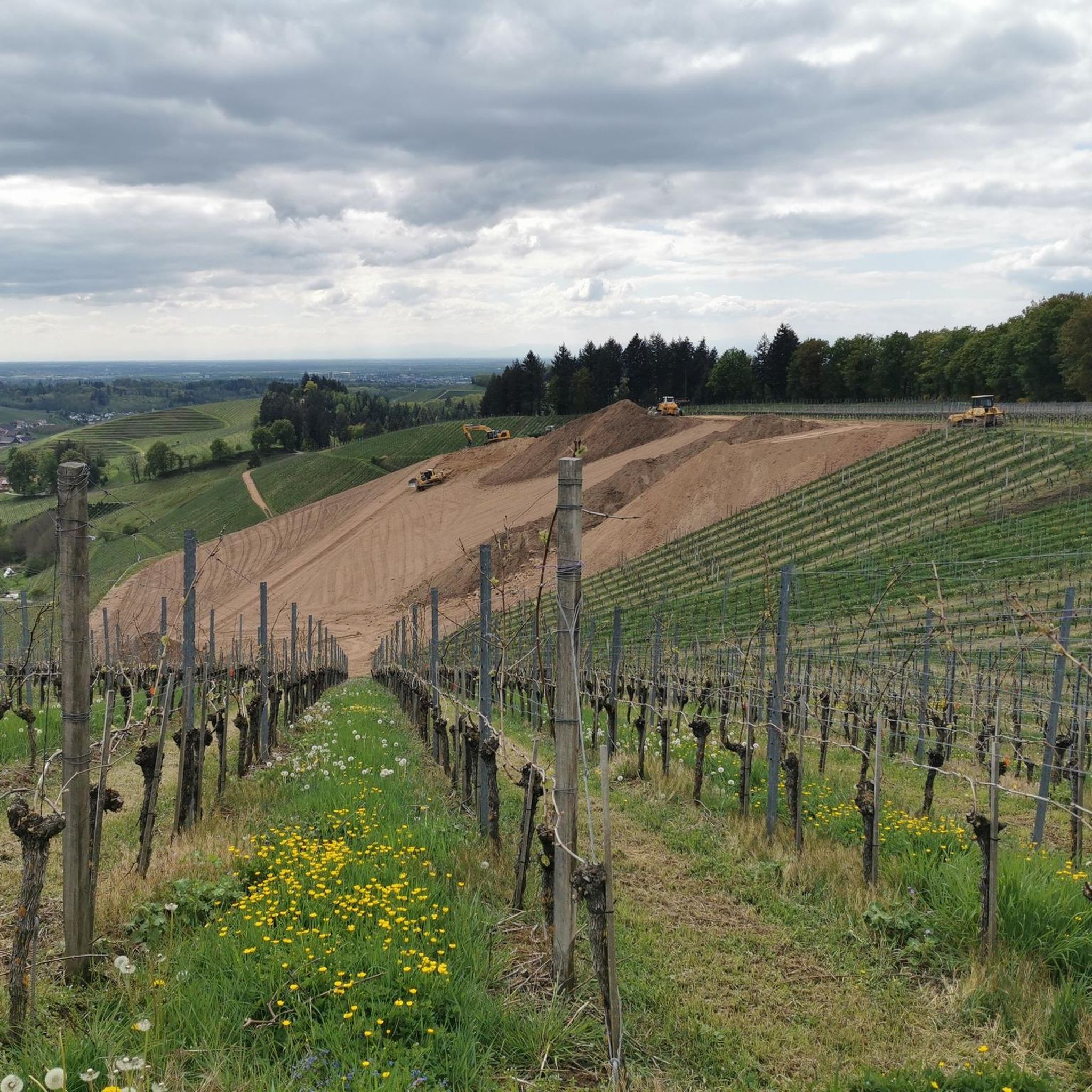
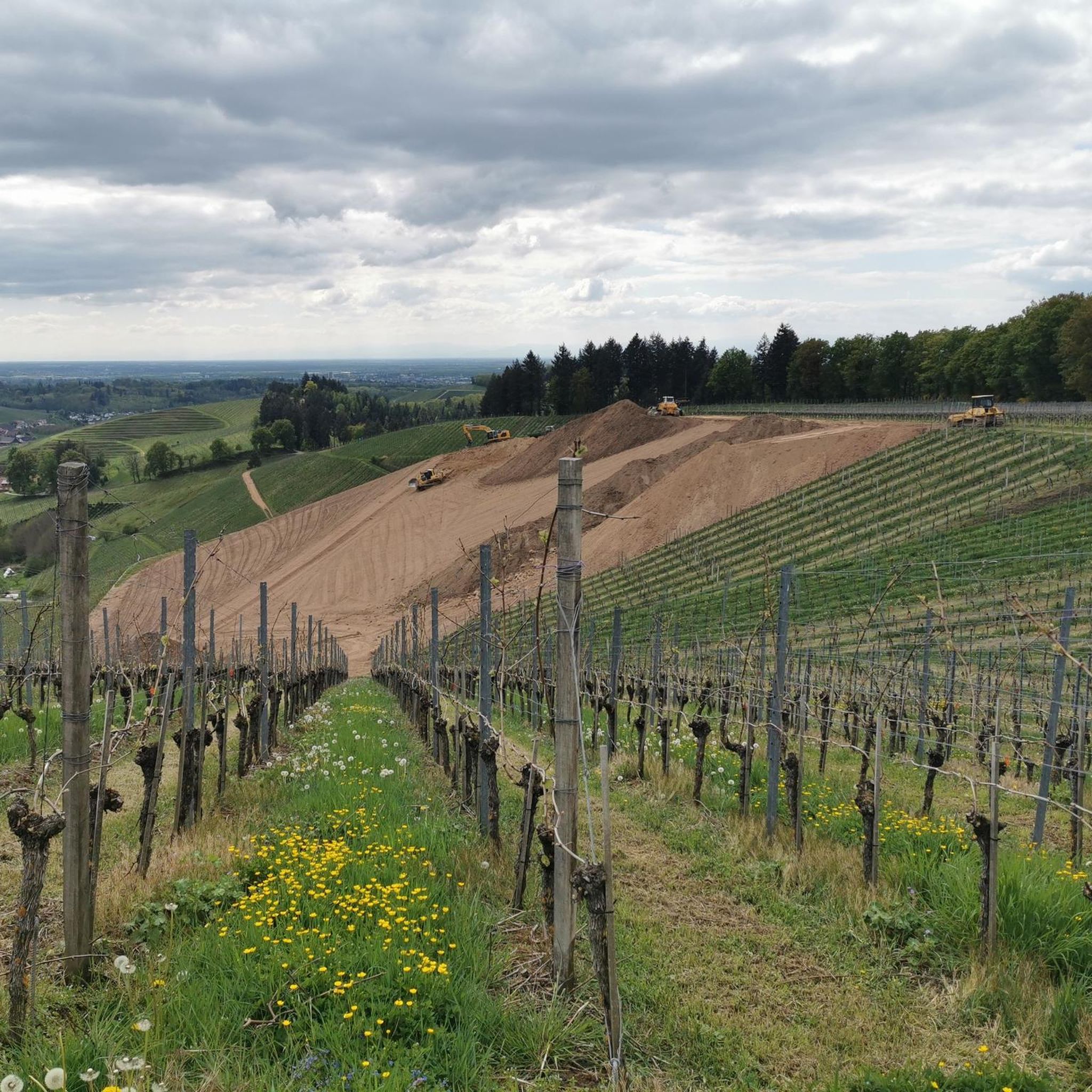
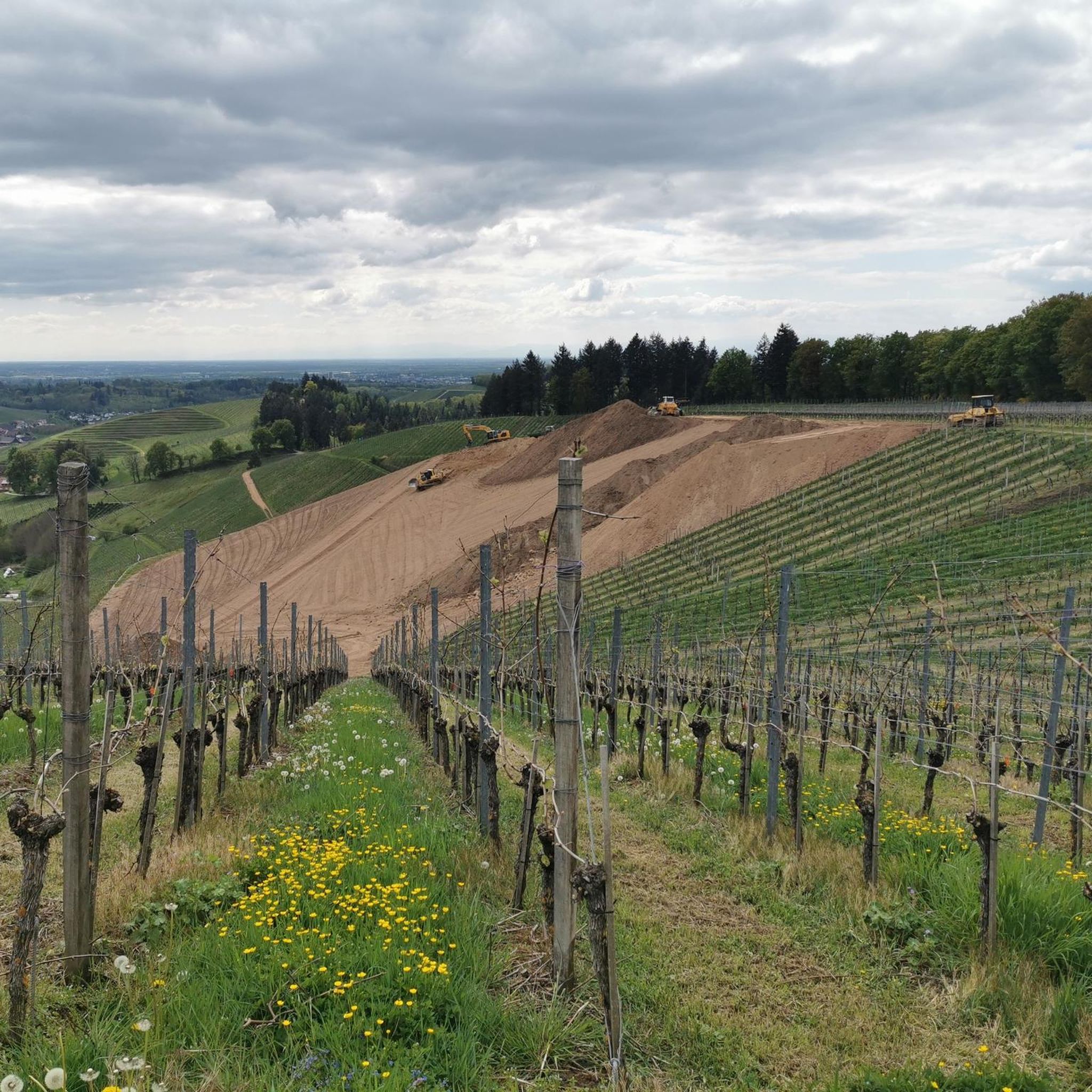
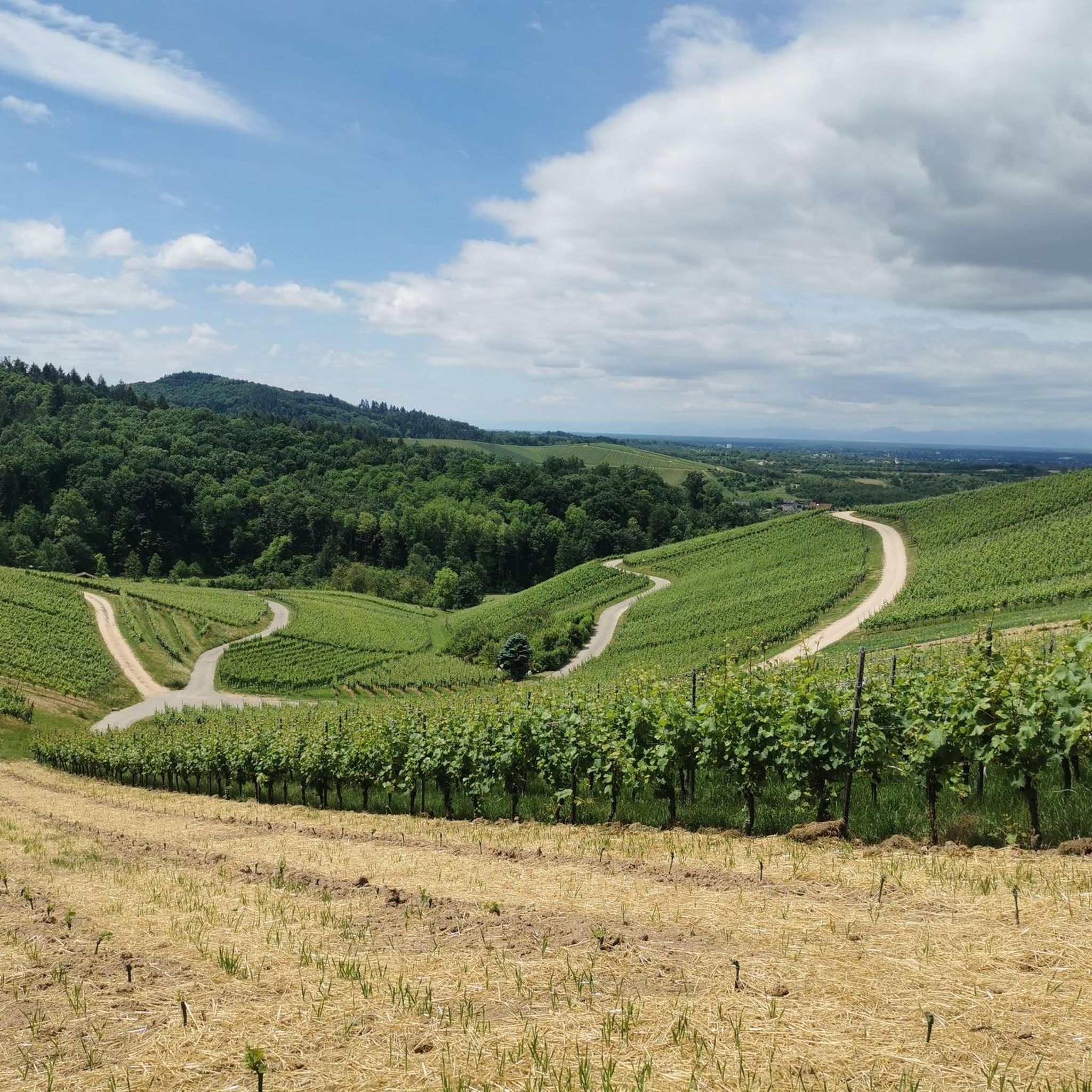
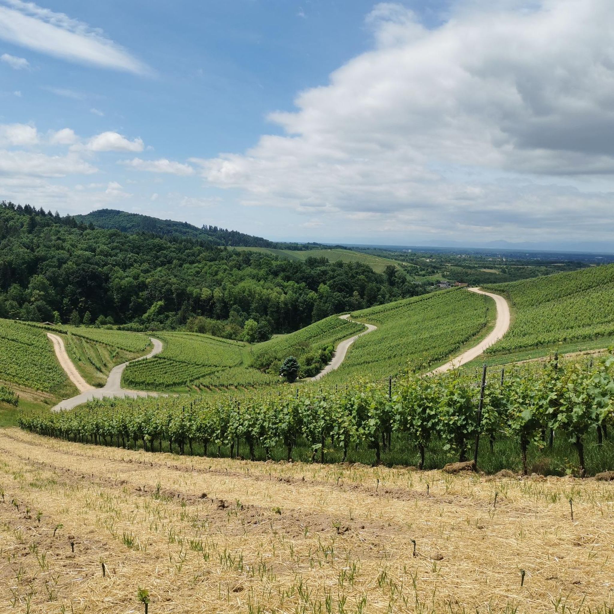
A wonderful view of the Black Forest and the Rhine Valley
3
0

Beautiful, small old town with a nice pedestrian zone. Besides retail shops, there are also good restaurants and ice cream parlors there.
3
0

Beautiful viewpoint over Oberkirch and Bottenau
0
0
The Rench is 57 km long. It rises near the refuge at an altitude of 915 m. Near Helmlingen, the Rench flows into the Rhine.
4
0

Great panorama over the Durbach vineyards.
4
0

After an incredible climb of 100 m, over 1000 m.
1
1
Viticulture in the Ortenau region is closely intertwined with the history of Staufenberg Castle – as is that of the noble family Margrave of Baden. The castle was built in the 11th century by the famous ducal family of the Zähringers, the ancestors of the current Margraves of Baden – thus it boasts a proud age of almost 1000 years. The name of the castle is derived from "Stauf", which in Old High German denotes a "cone-shaped mountain". A fitting description of the Staufenberg, which is over 380 m high. The earliest evidence of viticulture dates back to 1366. In 1693, Ludwig Wilhelm Margrave of Baden, the "Türkenlouis" and also godchild of the Sun King, was able to reacquire the castle. In 1832, it was then expanded according to the taste of the time into a 'romantic' castle, and visitors can still experience this "romance" today.
0
0
Frequently Asked Questions
How many gravel bike trails are available around Appenweier?
Appenweier offers a wide selection of gravel biking opportunities, with over 240 routes available. These range from easy to difficult, catering to various skill levels.
What are the typical difficulty levels for gravel biking in Appenweier?
The gravel bike trails around Appenweier offer a mix of difficulty levels. You'll find about 18 easy routes, 131 moderate routes, and 99 difficult routes, providing options for beginners to experienced riders. The region's landscape, with river valleys and the foothills of the Black Forest, contributes to this varied terrain.
Are there any family-friendly gravel bike routes in Appenweier?
While many routes in Appenweier feature varied terrain and elevation, some of the easier, flatter sections along river valleys and dam trails can be suitable for families. Look for routes categorized as 'easy' to find the most family-friendly options.
Can I find circular gravel bike routes in Appenweier?
Yes, many gravel bike routes in Appenweier are designed as loops. For example, the Rench River near Hubacker – Renchdamm Path loop from Zusenhofen is a moderate 34.1 km circular route that follows the Rench River and its dam path.
What is the best time of year for gravel biking in Appenweier?
The region's climate generally makes spring through autumn ideal for gravel biking, offering pleasant temperatures and lush scenery. While some trails may be accessible in winter, conditions can vary, especially in higher elevations or after rainfall, so checking local weather is always recommended.
What kind of terrain can I expect on gravel bike trails near Appenweier?
You can expect a diverse range of terrain. The routes often follow river valleys like the Rench, incorporating dam trails and agricultural plains with flat, fast sections. As you venture towards the foothills of the Black Forest, you'll encounter more challenging climbs and rolling hills, offering scenic views of the Rhine Valley.
Are there any interesting natural attractions or landmarks to see along the gravel bike routes?
Yes, the Appenweier area is rich with natural beauty. You can find several lakes nearby, such as Oberachern Forest Lake, Mountain lake, and Gifiz Lake. Some routes might also pass by unique historical sites like the Abandoned quarry and ruins of the Schwarzwälder Granit- und Schotterwerke.
What do other gravel bikers say about the trails in Appenweier?
The gravel biking routes in Appenweier are highly regarded by the komoot community, boasting an average rating of 4.6 stars from over 260 reviews. Riders frequently praise the varied terrain, scenic views, and the well-maintained network of paths along rivers and through the countryside.
Are there options for longer, more challenging gravel bike rides?
Absolutely. For experienced riders seeking a challenge, routes like the View of the Rhine Valley – View of Krebsenbach loop from Zusenhofen offer significant elevation gain over 38.8 km, providing a demanding ride with rewarding vistas.
Are there any moderate gravel bike routes for intermediate riders?
Intermediate riders will find plenty of options. A good example is the Rench River near Hubacker – Renchdamm Path loop from Zusenhofen, which is a moderate 34.1 km route, offering a balanced challenge without being overly strenuous.
What are some scenic gravel bike routes in the Appenweier area?
Many routes offer beautiful scenery, especially those that follow the Rench River or climb into the foothills. The View of the Rhine Valley – View of Krebsenbach loop from Zusenhofen is particularly noted for its panoramic views of the Rhine Valley and the surrounding landscape.
Most popular routes around Appenweier
Most popular attractions around Appenweier

Get inspired with the komoot mobile app


Explore more
Browse the best Gravel rides in other regions.
