The best gravel rides around Glauchau
4.5
(28)
211
riders
56
rides
Gravel biking around Glauchau offers varied terrain in the foothills of the Ore Mountains, Saxony. The landscape features green meadows, the Zwickauer Mulde River valley, and wooded hills, providing diverse surfaces for cycling. Routes often include a mix of paved and unpaved sections, gravel paths, and quiet roads. Moderate elevation changes are common, making the area suitable for different fitness levels.
Best gravel bike trails around Glauchau
- The most popular gravel bike trail is West shore of the Glauchau Reservoir…
Last updated: July 2, 2026
5.0
(1)
15
riders
31.4km
02:04
390m
390m
Hard gravel ride. Good fitness required. You may need to push your bike for some segments of this route.
4.0
(2)
19
riders
110km
07:11
1,800m
1,800m
Hard gravel ride. Very good fitness required. Mostly paved surfaces. Suitable for all skill levels.

Sign up for free
4.0
(2)
9
riders
Easy gravel ride. Great for any fitness level. Mostly paved surfaces. Suitable for all skill levels.
5.0
(1)
16
riders
Moderate gravel ride. Good fitness required. Mostly paved surfaces. Suitable for all skill levels.
4.0
(1)
8
riders
36.9km
02:04
290m
290m
Moderate gravel ride. Good fitness required. Mostly paved surfaces. Suitable for all skill levels.
Get access to more routes and recommendations from other explorers.
Sign up for free
Already have an account?
Our route recommendations are based on thousands of hikes, rides, and runs completed by other people on komoot.
Start today with a free account
Your next adventure awaits.
Login or Signup
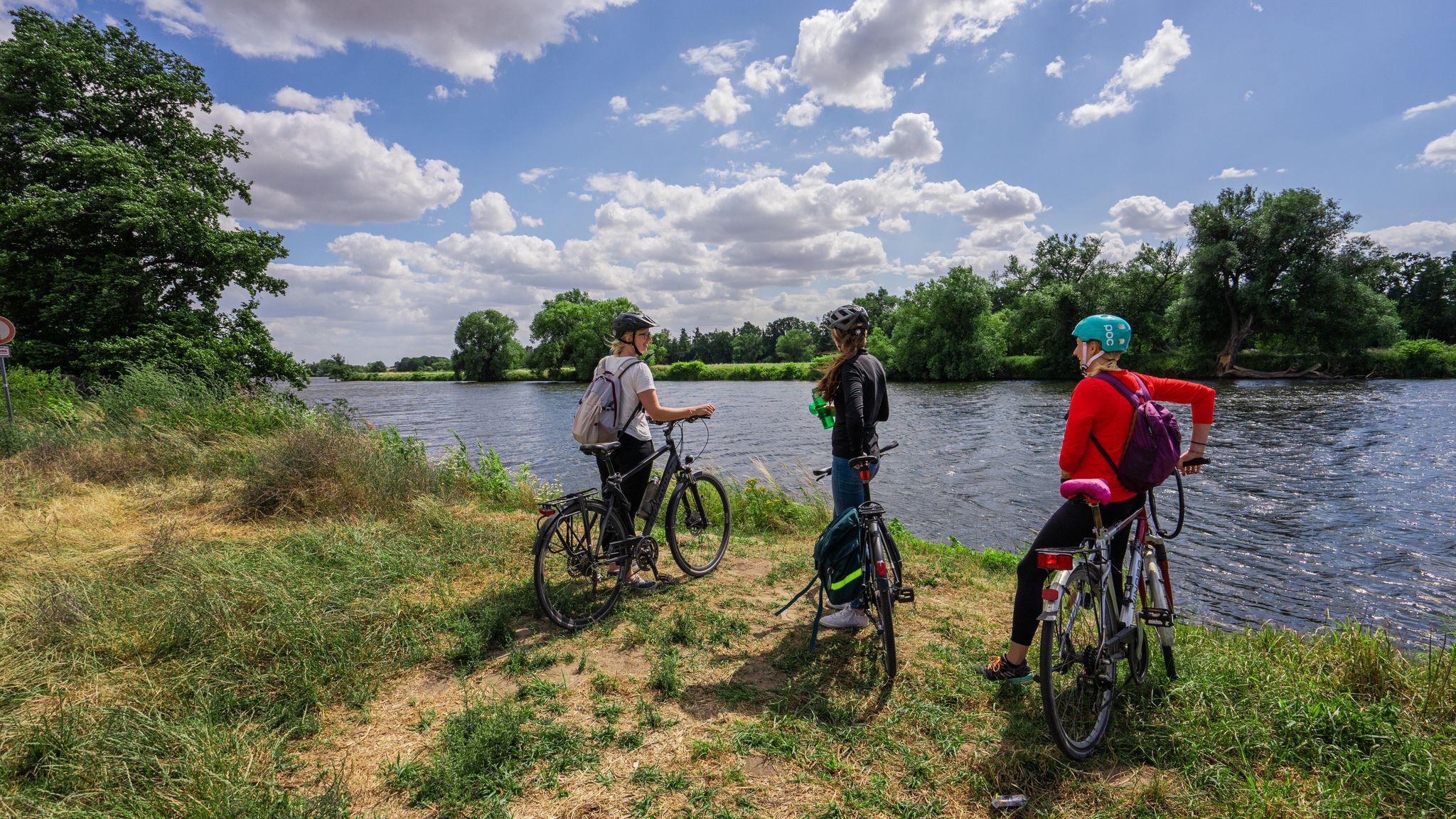
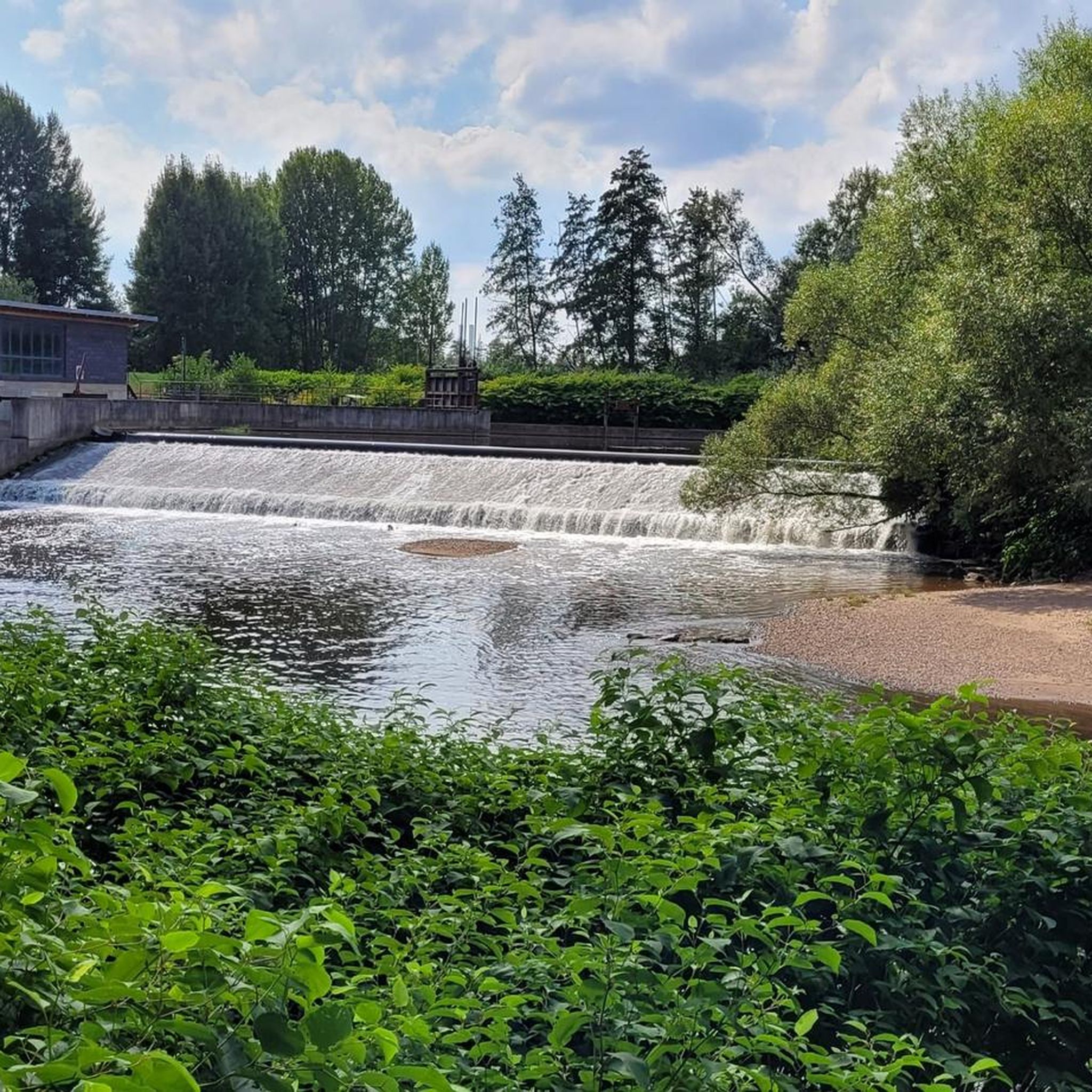
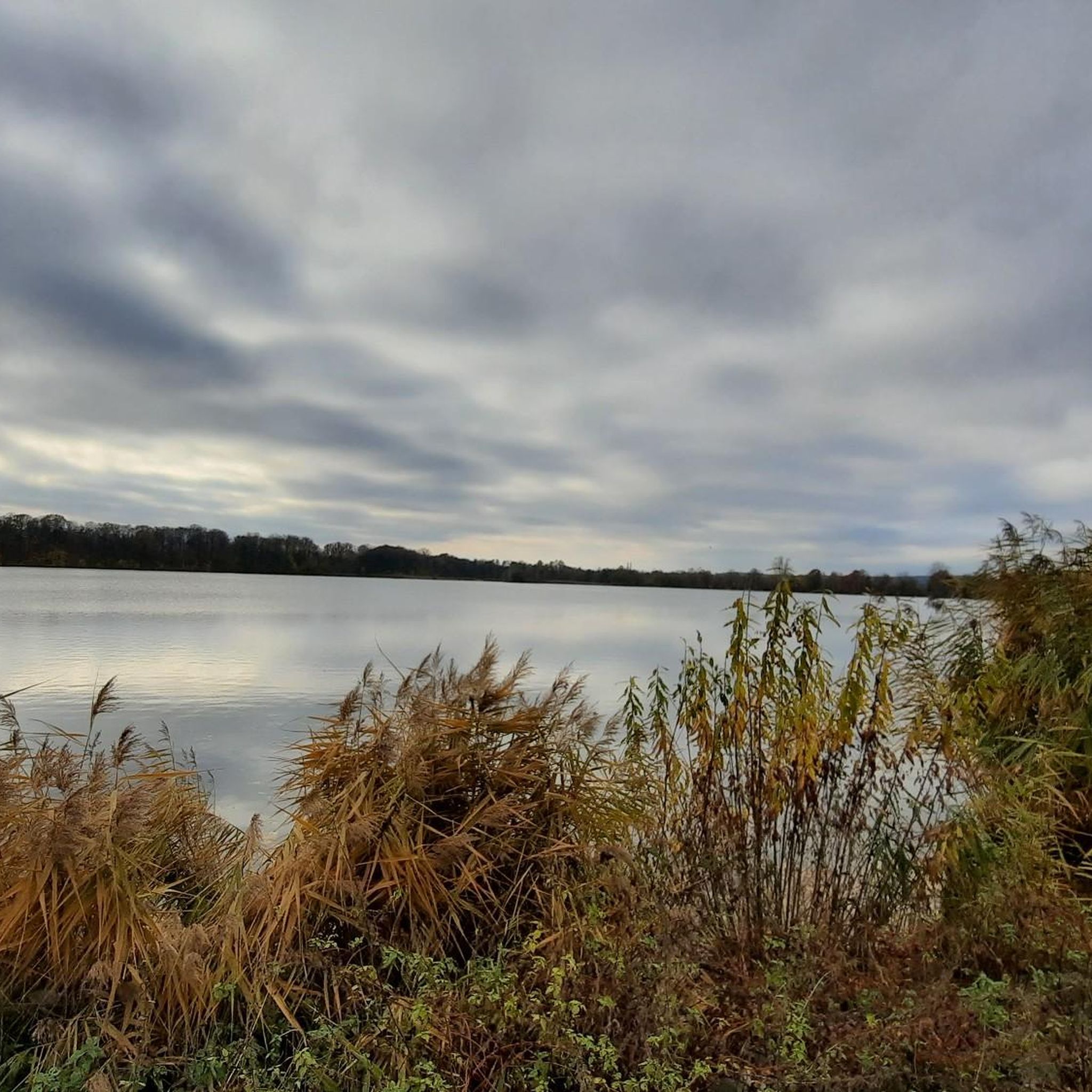
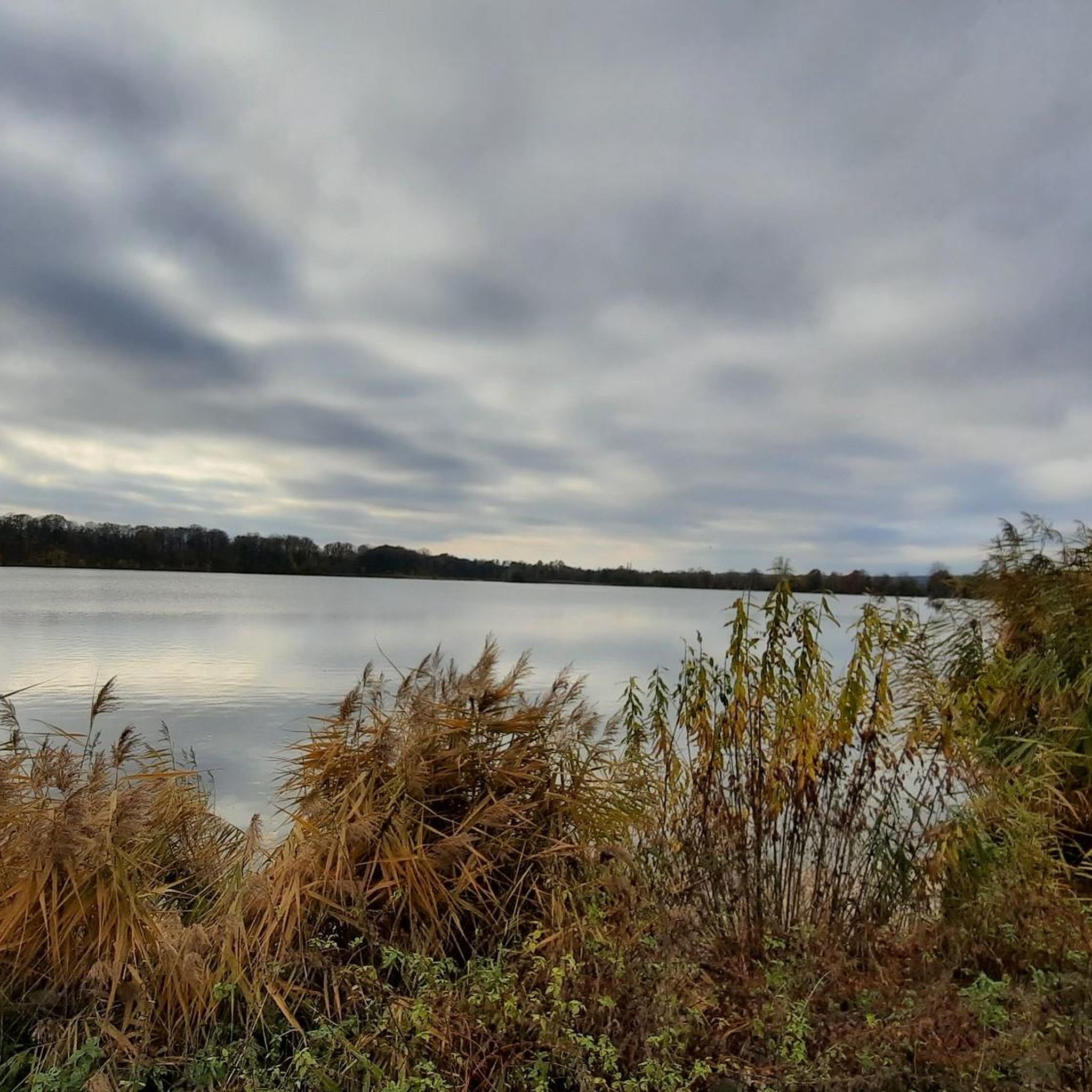
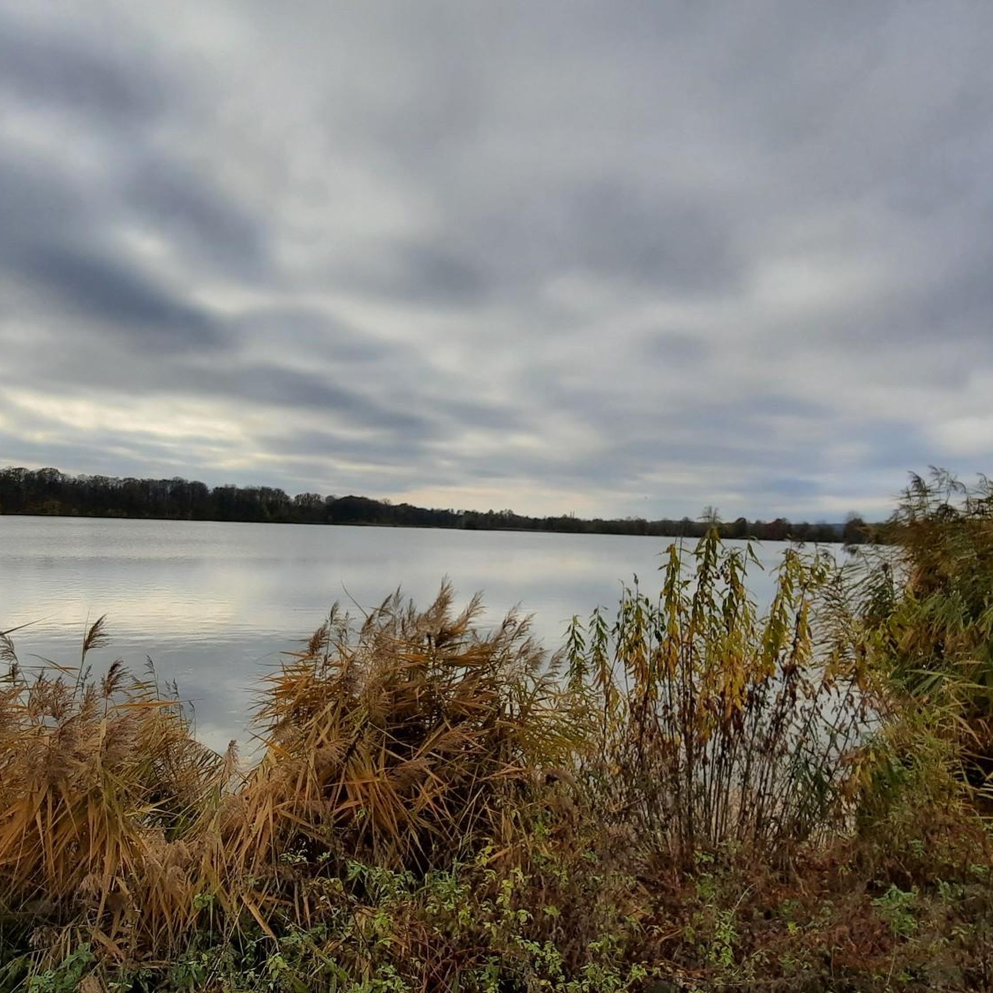
Other adventures around Glauchau

Tips from the Community

A wonderful destination for a day trip and highly recommended.
0
0

With every step, closer to the summit – the Fichtelberg climb on the Stoneman Miriquidi Road. From the intersection, it's not far anymore, and motivation gets a final boost.
1
0

Always beautiful 👍🏻
0
0

The large peace bell on the Fichtelberg had to remain silent for six months in 2024. Stone throwing in May 2022 had so badly damaged the bell that its sound suffered. It was decided to stop ringing it and replace it with a new one. The old bell rang for the last time on Easter Monday 2024. Just in time for the mountain service on German Unity Day on October 3, the new bell was officially rung for the first time in the fall of 2024. The idea of using a peace bell to commemorate the peaceful revolution of 1989 in the GDR and German reunification in 1990 came from watchman Gerd Schlesinger and night watchman Jörg Eller from the Ore Mountains town of Schwarzenberg. The bell was also intended to be heard in neighboring Czechia and thus ring for a united Europe. The cast steel bell, already ninety years old at the time, was rung for the first time in 2010. The new bell was cast in Innsbruck by the Grassmayr company. At 2,700 kilograms, it is about 1,100 kilograms heavier than the old bell.
17
1
The first weather observer on this summit was the innkeeper of the Fichtelberghaus. He recorded his weather observations from 1890 onwards, but from 1898 onwards only intermittently, and from 1910 onwards not at all. The head of the Royal Saxon State Meteorological Observatory, Paul Schreiber, suggested the construction of a permanent weather observatory. Temperature, wind speed, and precipitation amounts have been continuously recorded here since January 1, 1916. The strongest storm recorded here was on January 3, 1976, with a peak gust speed of 216 kilometers per hour. The coldest day on the summit was February 9, 1956, with minus 30.4 degrees Celsius; the warmest was July 27, 1983, with plus 30.8 degrees Celsius. The highest snow cover was measured in March 1944: 3.35 meters. The year 1951 was bad for Fichtelberg tourists: it held the record for foggy days with 315.
13
1

Here you can cross the hollow.
5
0

The station is located on the summit next to the Fichtelberghaus, but is not accessible.
5
0

ATTENTION! There is often glass on the paths
0
0
Frequently Asked Questions
What is the best time of year for gravel biking in Glauchau?
The best times to enjoy gravel biking in Glauchau are typically August and September. During these months, the weather is generally favorable for exploring the region's diverse terrain, from river valleys to wooded hills.
Are there easy gravel bike trails suitable for beginners in Glauchau?
Yes, Glauchau offers several easy gravel biking options. For instance, the Rümpfwald – West shore of the Glauchau Reservoir loop from Glauchau (Sachs) is an easy 12.2-mile (19.7 km) route that takes about 1 hour 9 minutes, leading through Rümpfwald and past the Glauchau Reservoir. Overall, there are 8 easy routes available in the region.
Where can I find challenging gravel routes with significant elevation gain near Glauchau?
For those seeking a challenge, Glauchau has 29 difficult gravel routes. A notable option is the Totenstein Observation Tower – Bench at Am Totenstein loop from Callenberg, a 19.4-mile (31.2 km) path with significant elevation gain, passing by the Totenstein Observation Tower. Another difficult route is the Rümpfwald Trail – Alberthöhe Observation Tower loop from Thurm, which covers 51.8 km with over 600 meters of elevation gain.
Are there any circular gravel bike routes in Glauchau?
Many gravel bike routes in Glauchau are designed as loops, offering convenient circular tours. Examples include the popular West shore of the Glauchau Reservoir – Forest path near Voigtlaide loop from Glauchau-Schönbörnchen and the Bathhouse in Grünfelder Park – View of Waldenburg Castle loop from Remse, allowing you to start and end at the same point.
What scenic views can I expect on gravel bike routes around Glauchau?
Gravel biking in Glauchau offers diverse scenic views. You'll encounter green meadows, the picturesque Zwickauer Mulde River valley, and wooded hills. The West shore of the Glauchau Reservoir provides expansive views over the water and Muldenaue. You can also find viewpoints like the View over the Altenburg and Leipzig regions from Langenberger Höhe or the View from Pfaffenberg.
Are there family-friendly gravel biking options in Glauchau?
Yes, the region's varied terrain includes paths suitable for families. The Muldental hiking and cycling trails along the Zwickauer Mulde River are well-developed and offer relaxed rides through picturesque scenery, often featuring tree-lined avenues that provide shade. Look for routes marked as 'easy' for the most family-friendly experiences.
What natural attractions or landmarks can I explore along the gravel bike trails?
Along Glauchau's gravel bike trails, you can discover several natural attractions. The West shore of the Glauchau Reservoir is a significant natural highlight, offering beautiful views. You might also encounter the Karl May cave with rest area, which adds a touch of intrigue to your ride.
Are there any historical sites or cultural points of interest near the gravel routes?
Yes, Glauchau is rich in history. While cycling, you can pass by the impressive Glauchau Castle Complex, consisting of Forderglauchau and Hinterglauchau Castles. Although not directly on a route, Grünfelder Park in nearby Waldenburg, with its Portal "The Quiet Joy of Nature" and Monuments and Gothic Bridge, offers a cultural stop for quiet enjoyment.
How long do gravel bike routes in Glauchau typically take to complete?
The duration of gravel bike routes in Glauchau varies significantly depending on the distance and difficulty. For example, an easy 12.2-mile (19.7 km) route like the Rümpfwald – West shore of the Glauchau Reservoir loop can take about 1 hour 9 minutes, while a moderate 32.8-mile (52.9 km) route such as the West shore of the Glauchau Reservoir loop typically takes around 3 hours 59 minutes.
What do other gravel bikers say about their experience in Glauchau?
The gravel biking routes in Glauchau are highly rated by the komoot community, with an average score of 4.5 stars from over 70 reviews. Many riders praise the varied terrain, the scenic river valleys, and the well-developed cycling paths that cater to different ability levels.
How many gravel bike trails are available in the Glauchau region?
The Glauchau region boasts an extensive network of gravel bike trails, with a total of 89 routes available for exploration. This includes a mix of easy, moderate, and difficult options to suit various preferences and fitness levels.
Is it possible to access gravel trails in Glauchau using public transport?
While specific public transport connections to trailheads are not detailed, Glauchau is a town in Saxony, Germany, and generally, public transport options like regional trains and buses are available. It's advisable to check local transport schedules for connections to areas near your desired starting points for gravel routes.
Are there gravel bike trails in Glauchau that offer parking facilities?
Many gravel bike routes in Glauchau, especially those starting from or passing through towns and recreational areas, are likely to have nearby parking facilities. For example, routes around the Glauchau Reservoir or starting from Glauchau-Schönbörnchen would typically have parking available for visitors.
Most popular routes around Glauchau
Most popular attractions around Glauchau

Get inspired with the komoot mobile app


Explore more
Browse the best Gravel rides in other regions.
