The best gravel rides around Bischbrunn
4.7
(32)
183
riders
32
rides
Gravel biking around Bischbrunn is characterized by its location within the Spessart hills, featuring extensive deciduous forests and varied elevation profiles. The region offers a network of trails, including forest and farm roads, suitable for gravel bikes. Proximity to the Main valley provides additional routes with scenic views and short gravel sections alongside the river. The Spessart Nature Park, encompassing Bischbrunn, offers a range of gravel routes for different skill levels.
Best gravel bike trails around Bischbrunn
- The most popular…
Last updated: October 16, 2026
4
riders
59.3km
04:10
980m
980m
Hard gravel ride. Very good fitness required. Mostly paved surfaces. Suitable for all skill levels.
5.0
(4)
9
riders
Hard gravel ride. Very good fitness required. Mostly paved surfaces. Suitable for all skill levels.

4.3
(3)
6
riders
41.9km
02:48
500m
510m
Hard gravel ride. Very good fitness required. You may need to push your bike for some segments of this route.
1
riders
36.0km
03:03
820m
820m
Hard gravel ride. Very good fitness required. You may need to push your bike for some segments of this route.
4.4
(5)
10
riders
Hard gravel ride. Very good fitness required. You may need to push your bike for some segments of this route.
Get access to more routes and recommendations from other explorers.
Already have an account?
Our route recommendations are based on thousands of hikes, rides, and runs completed by other people on komoot.
Start today with a free account
Your next adventure awaits.
Tips from the Community

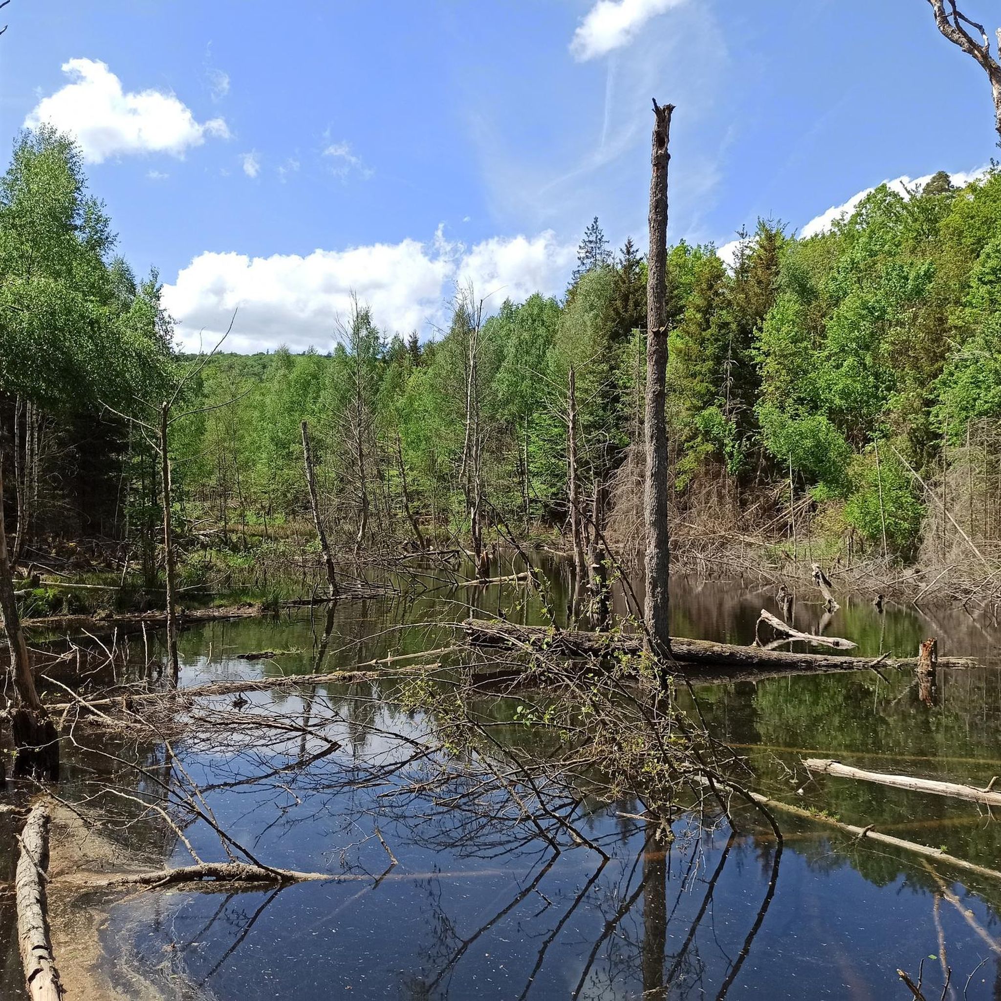
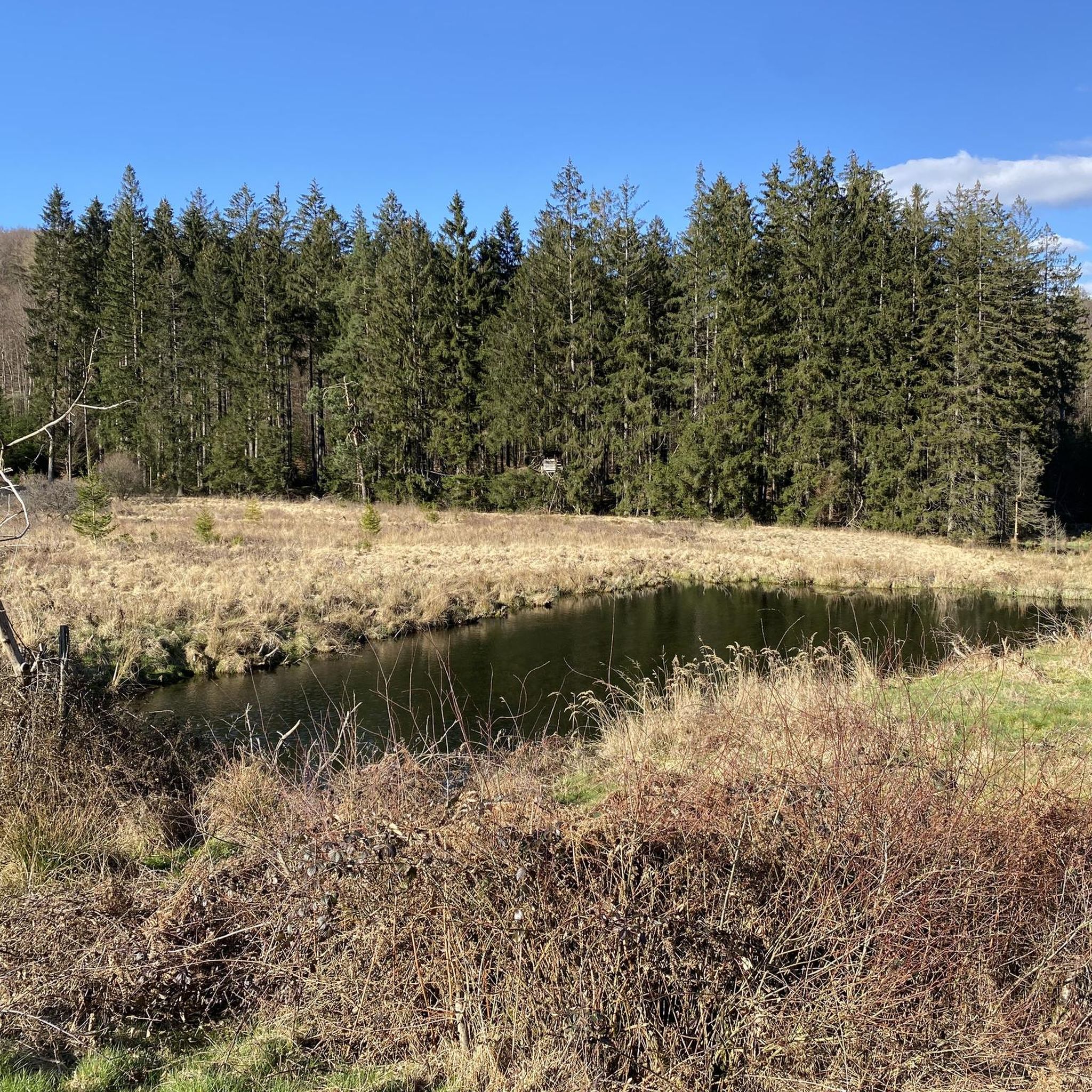
The Hafenlohr is a 26.5 km (27.7 km with Tiergartenbach) long, right tributary of the Main in the districts of Aschaffenburg and Main-Spessart in the Bavarian Spessart. The Hafenlohr originates from two springs in the municipality of Rothenbuch. The longer and at times more water-rich source is the Tiergartenbach, which often dries up on dry days. Officially, it is considered the upper course of the main water body of the Hafenlohr. The origin named Hafenlohrquelle in the middle of the village provides water almost all year round. The Hafenlohrquelle is located at Schloss Rothenbuch. It was channeled in sandstone during the widening of the road St 2317. Its water flows through the castle moat northwestward and flows into the bed of the Tiergartenbach about a hundred meters later from the left side, which flows from the Tiergartengrund on the northern edge of the village and is already 1.3 km long. It does not supply water all year round, but at times more than the also perennial spring at the castle. The spring at the castle was probably a meeting point for hunting in the eastern Spessart in the past, which is why the construction of a hunting lodge began here in 1342. The castle moat and some surrounding trout lakes, which no longer exist today, were fed with the emerging spring water. Source and further information: https://de.wikipedia.org/wiki/Hafenlohr_(Fluss)
1
0

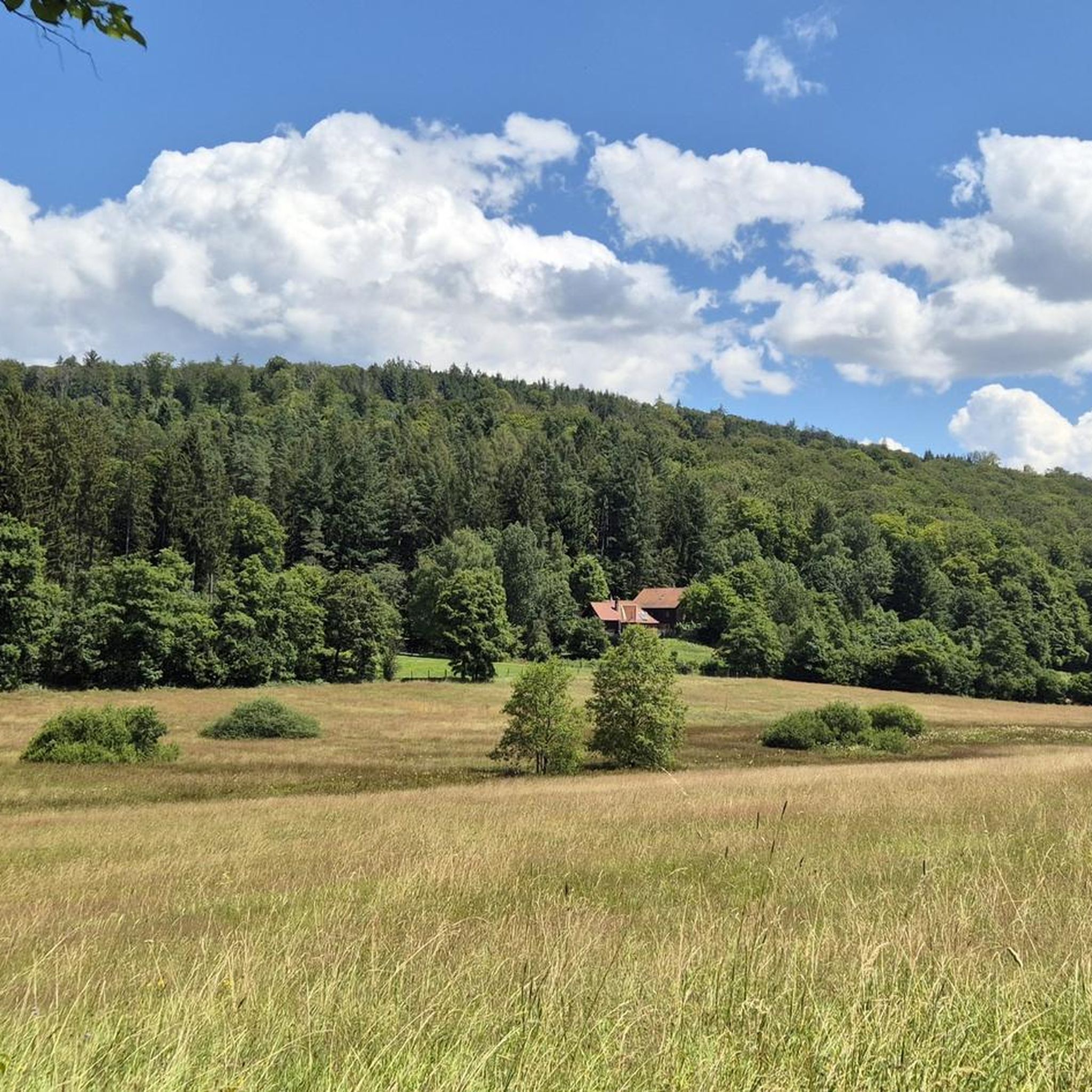
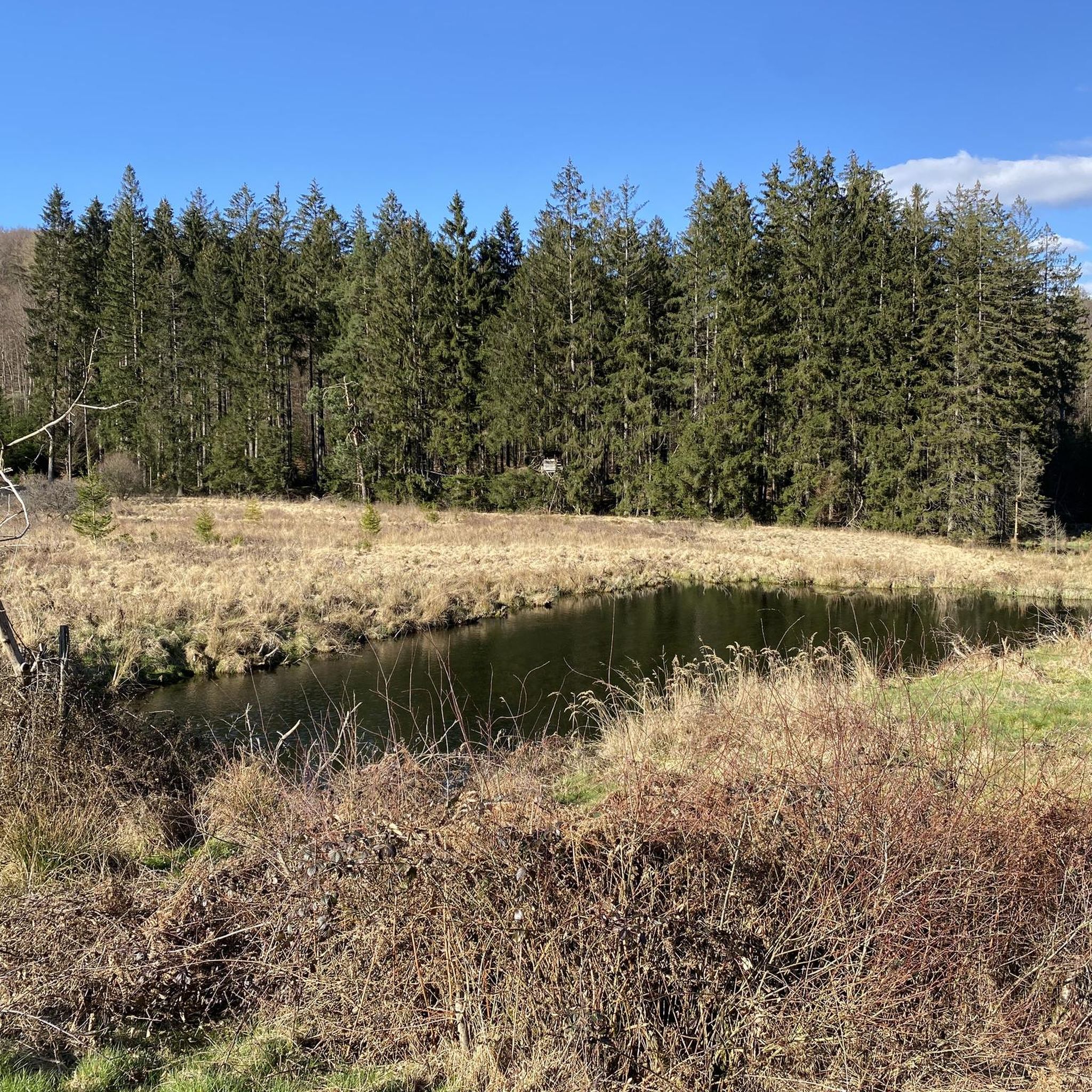
The Hafenlohrtal is wonderfully quiet. And so beautiful.
0
0

I love these old bridges and I have to take a picture of every beautiful one from above. This one also offers a very nice view of Marktheidenfeld.
1
0
You then get a very good idea of how devastating some floods must have been....
2
0
The Hafenlohr is a 26.5 km long (27.7 km including the Tiergartenbach) right tributary of the Main River in the districts of Aschaffenburg and Main-Spessart in the Bavarian Spessart region. The Hafenlohr rises from two springs in the municipality of Rothenbuch. The longer and occasionally more water-rich branch is the Tiergartenbach, which often dries up on dry days. Officially, it is considered the upper course of the Hafenlohr main watercourse. The source, known as the Hafenlohr Spring, in the center of the village provides water almost year-round. The Hafenlohr Spring is located at Rothenbuch Castle. It was encased in sandstone during the road widening of the St 2317. Its water flows northwest through the castle moat and, after about 100 meters, flows from the left bank into the bed of the Tiergartenbach, which flows from the Tiergartengrund on the northern edge of the village and is already 1.3 km[7] long. It doesn't provide water year-round, but at times it provides more than the perennial spring at the castle. The spring at the castle was probably once a meeting place for hunters in the eastern Spessart, which is why construction of a hunting lodge began here in 1342. The spring water fed the castle moat and several surrounding trout lakes, which no longer exist. Source and further information: https://de.wikipedia.org/wiki/Hafenlohr_(Fluss)
1
0
The Hafenlohr is a 26.5 km (27.7 km with Tiergartenbach) long, right-hand tributary of the Main in the districts of Aschaffenburg and Main-Spessart in the Bavarian Spessart. The Hafenlohr originates from two springs in the municipality of Rothenbuch. The longer and at times more water-rich spring branch is the Tiergartenbach, which often dries up on dry days. Officially, it is considered the upper course of the main Hafenlohr water body. The origin named Hafenlohrquelle in the middle of the village provides water almost all year round. The Hafenlohrquelle is located at Rothenbuch Castle. It was channeled in sandstone in the course of the widening of the St 2317 road. Its water flows through the castle moat north-westwards and, after about a hundred meters, flows in from the left into the bed of the Tiergartenbach, which approaches from the Tiergartengrund on the northern edge of the village and is already 1.3 km long. It does not supply water all year round, but at times more than the also perennial spring at the castle. The spring at the castle was probably once a meeting point for hunting in the eastern Spessart, which is why the construction of a hunting lodge began here in 1342. The spring water that welled up was used to supply the castle moat and some surrounding trout lakes, which no longer exist today. Source and further information: https://de.wikipedia.org/wiki/Hafenlohr_(Fluss)
1
0

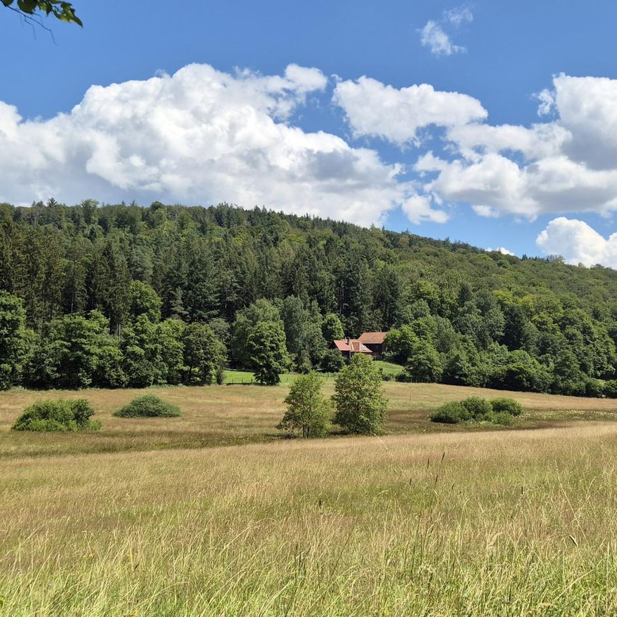
With a beautiful view of the valley.
0
0

There are loungers and benches where you can chill 😎 and enjoy the view of the Main River and its surroundings. Just close your eyes and listen to the sounds of nature 👂 it will completely calm you down ⬇️ in a positive way 👍😎
0
0
Frequently Asked Questions
How many gravel bike trails are available around Bischbrunn?
There are over 50 gravel bike trails around Bischbrunn, offering a wide range of options for different skill levels. You'll find a mix of moderate and difficult routes, with 17 moderate and 35 difficult trails to explore.
What kind of terrain can I expect on gravel bike trails around Bischbrunn?
The terrain around Bischbrunn is primarily characterized by the extensive woodlands of the Spessart hills. You'll encounter a network of forest and farm roads, which are ideal for gravel bikes. Some routes also feature short, easily navigable gravel sections along the Main valley, offering a mix of surfaces from compacted gravel to natural forest paths.
What are the typical elevation profiles of gravel routes in Bischbrunn?
Given Bischbrunn's location within the Spessart hills, you can expect varied elevation profiles. Many routes involve significant elevation gains, especially on the more challenging trails. For instance, the Mespelbrunn Castle – Sylvan Forest Lodge loop from Weibersbrunn features nearly 1000 meters of ascent, providing a good workout for experienced riders.
What natural features can I see while gravel biking near Bischbrunn?
The region is rich in natural beauty. You'll primarily experience the dense, beautiful woodlands of the Spessart. Some routes, like the Main bridge in Marktheidenfeld – Water buffalo in the Hafenlohr Valley loop from Marktheidenfeld, take you through natural landscapes such as the Hafenlohr Valley. The Main valley also offers scenic views of the river and its steep vineyards.
Are there any historical sites or castles along the gravel routes?
Yes, several gravel routes offer opportunities to see historical sites and castles. You can pass by impressive landmarks such as Wertheim Castle, Mespelbrunn Castle, and Homburg Castle on the Main. The Ficke – Homburg Castle on the Main loop from Esselbach, for example, offers direct views of Homburg Castle.
Where can I find scenic views on the gravel trails?
Many routes offer picturesque views, especially those that traverse the Spessart hills or run alongside the Main River. The View of Rothenfels Castle – View of Neustadt am Main Abbey loop from Esselbach provides scenic vistas, including a view of Rothenfels Castle. The Main valley itself is known for its charming villages and vineyard-lined slopes, offering expansive views.
Are there routes suitable for beginners or families?
While many routes in the Bischbrunn area are classified as moderate to difficult, the extensive network of forest and farm roads in the Spessart Nature Park does offer options for various ability levels. For a more moderate experience, consider routes like the View of Rothenfels Castle – View of Neustadt am Main Abbey loop from Esselbach, which has a more manageable elevation gain.
What is the best time of year for gravel biking in Bischbrunn?
The Spessart region is beautiful throughout the year, but spring and autumn generally offer the most pleasant conditions for gravel biking. The forests are vibrant with new growth or rich with fall colors, and temperatures are typically mild. Summer can also be great, especially for shaded forest trails, while winter rides are possible but require appropriate gear for potentially colder and wetter conditions.
Is parking available for gravel bikers in Bischbrunn?
Yes, parking is generally available in and around Bischbrunn, particularly at trailheads or designated parking areas within the Spessart Nature Park. Many routes start from towns or villages where public parking can be found, making it convenient to access the trails.
Can I reach Bischbrunn by public transport for cycling?
While Bischbrunn itself is a smaller community, the wider Spessart region is accessible by public transport, primarily buses connecting to larger towns with train stations. It's advisable to check local bus schedules and policies regarding bicycle transport if you plan to use public transport to reach your starting point.
Are there cafes or places to eat along the gravel trails?
Yes, many routes pass through or near quaint villages and towns in the Spessart and Main valley where you can find cafes, restaurants, and traditional pubs. For example, routes near Marktheidenfeld or Esselbach will offer opportunities for refreshments. The region is known for its hospitality, so you'll often find places to refuel and relax.
What do other gravel bikers say about the trails in Bischbrunn?
The gravel biking trails around Bischbrunn are highly rated by the komoot community, with an average score of 4.7 stars from over 40 reviews. Riders often praise the diverse terrain, the tranquility of the dense woodlands, and the scenic views, especially those along the Main River and past historical castles.
Most popular routes around Bischbrunn
Most popular attractions around Bischbrunn

Get inspired with the komoot mobile app


Explore more
Browse the best Gravel rides in other regions.
