The best gravel rides around Himmelstadt
4.9
(5)
58
riders
36
rides
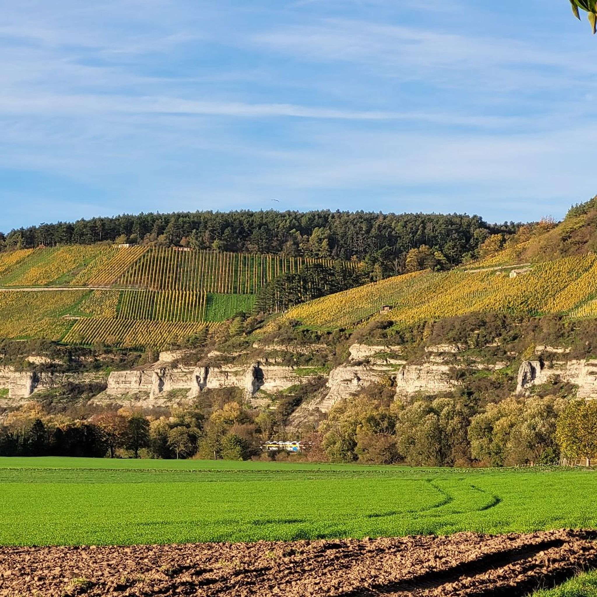
Gravel biking around Himmelstadt offers diverse terrain within the picturesque Main Valley of Lower Franconia. The region features a blend of sun-drenched vineyards and extensive forest areas, providing varied landscapes for exploration. Himmelstadt's topography includes a "land of 1000 hills," characterized by challenging climbs and scenic trails. The Main River also provides accessible and scenic routes along the water.
Best gravel bike trails around Himmelstadt
- The most popular gravel bike trail is Karlstadt Old Town – Stettener Stein Vineyards loop…
Last updated: July 2, 2026
5
riders
38.0km
02:53
570m
570m
Hard gravel ride. Very good fitness required. Mostly paved surfaces. Suitable for all skill levels.
6
riders
32.0km
01:54
360m
360m
Moderate gravel ride. Good fitness required. Mostly paved surfaces. Suitable for all skill levels.

Sign up for free
5.0
(1)
9
riders
Hard gravel ride. Very good fitness required. Mostly paved surfaces. Suitable for all skill levels.
7
riders
40.3km
02:29
390m
390m
Moderate gravel ride. Good fitness required. Mostly paved surfaces. Suitable for all skill levels.
4.7
(3)
8
riders
Moderate gravel ride. Good fitness required. Mostly paved surfaces. Suitable for all skill levels.
Get access to more routes and recommendations from other explorers.
Sign up for free
Already have an account?
Our route recommendations are based on thousands of hikes, rides, and runs completed by other people on komoot.
Start today with a free account
Your next adventure awaits.
Login or Signup
Tips from the Community

Opposite the wayside shrine there is also a table with two benches where you can have a snack.
0
0

Small and charming - a great little place...
0
0

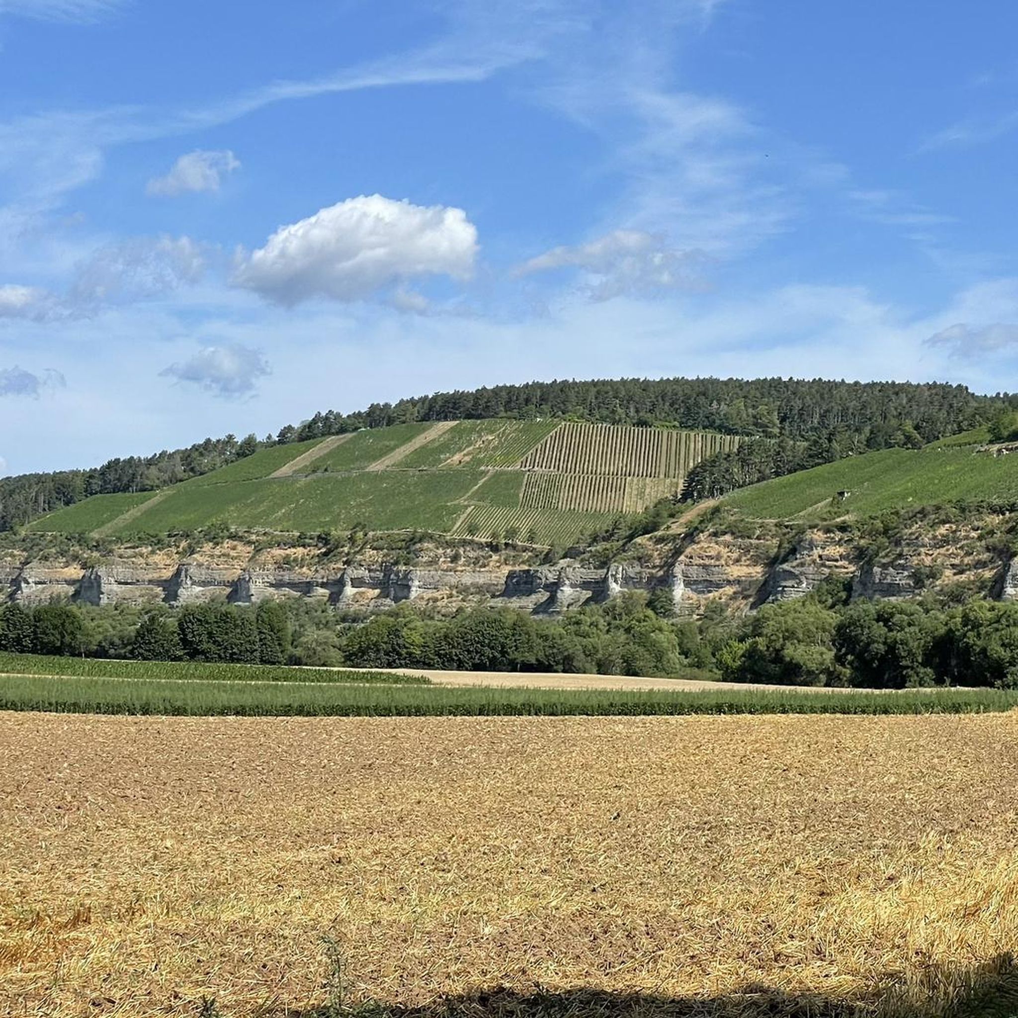
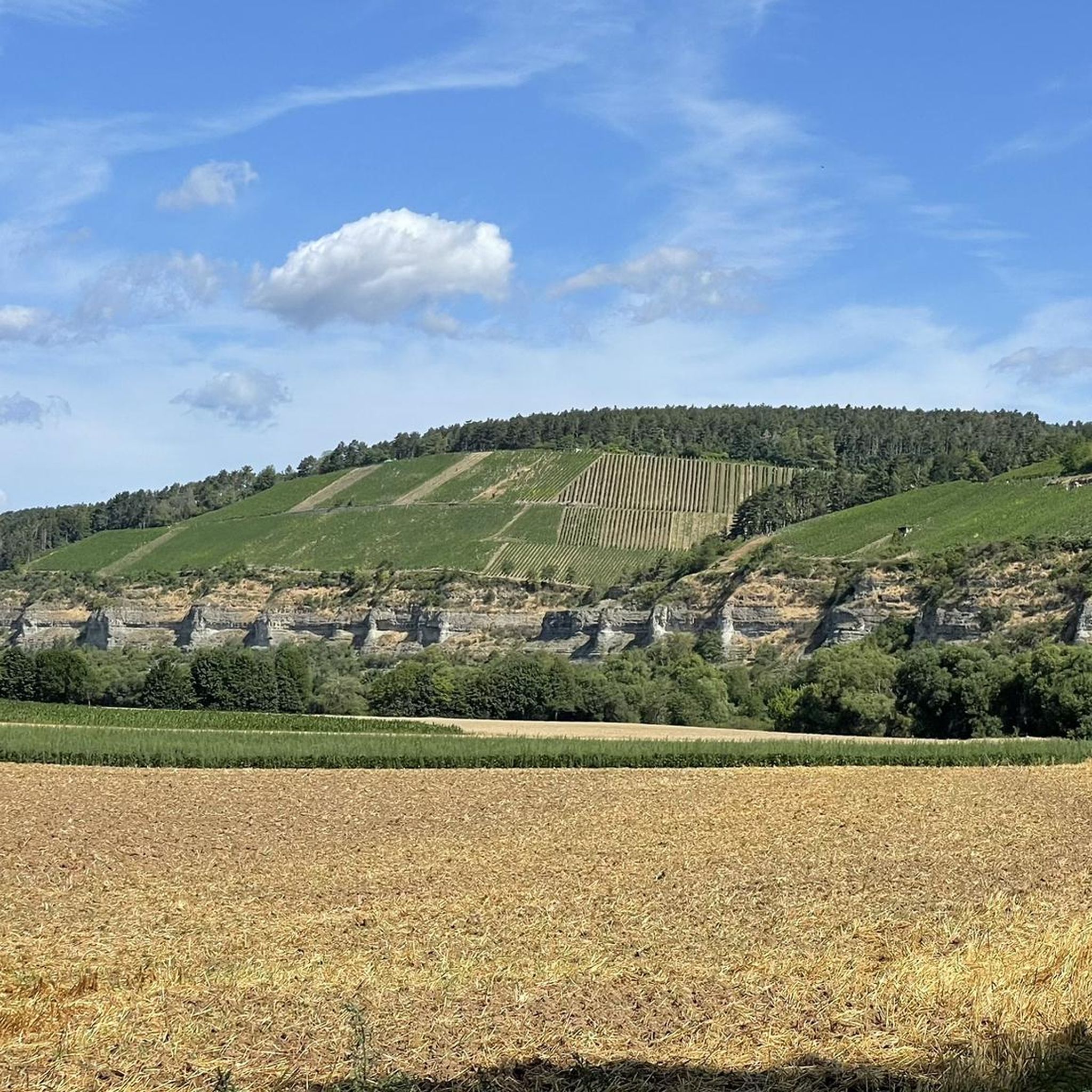
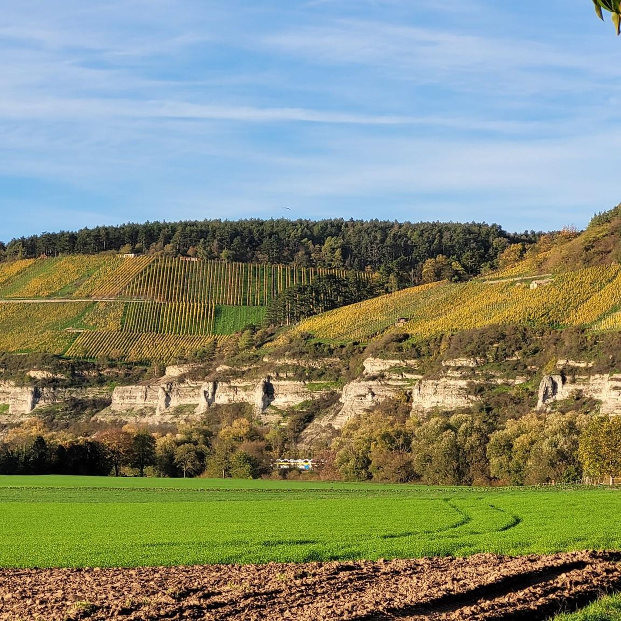
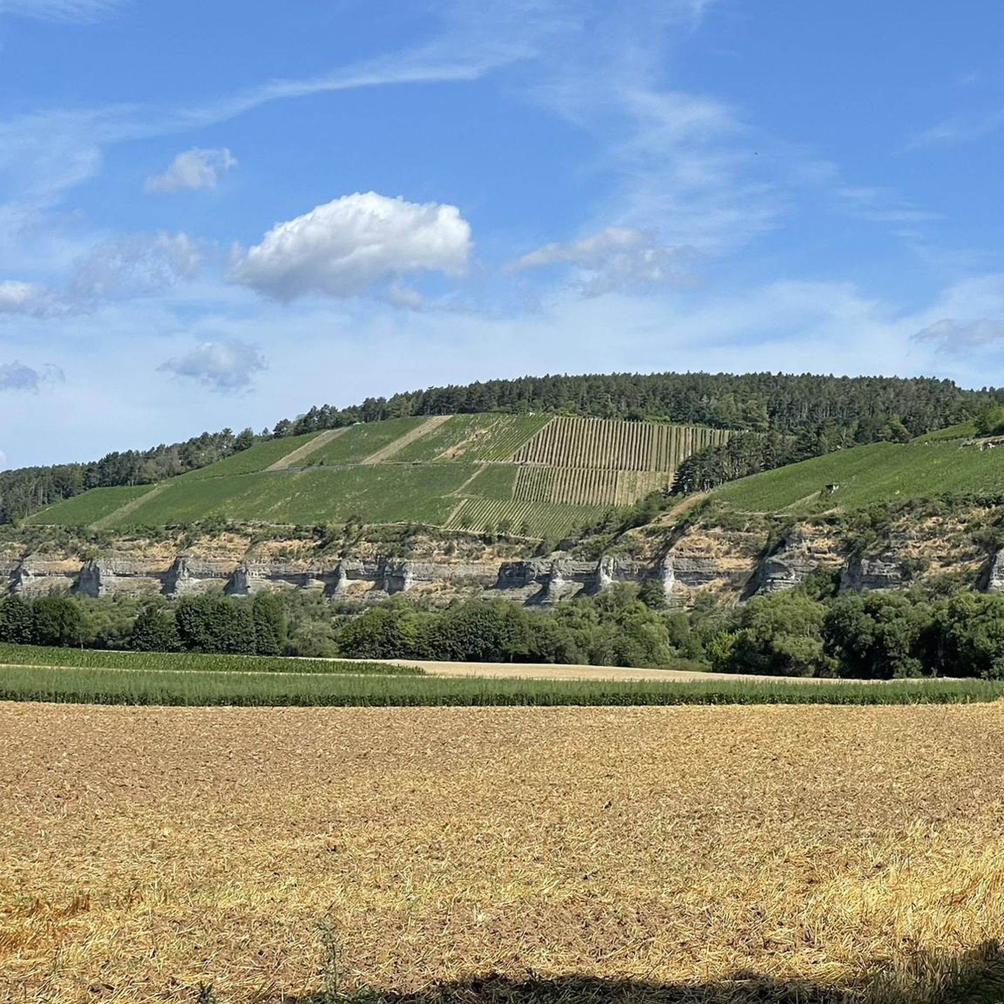
With a wonderful view of the vineyards.
0
0
Thüngersheim has a very beautiful old town.
0
0

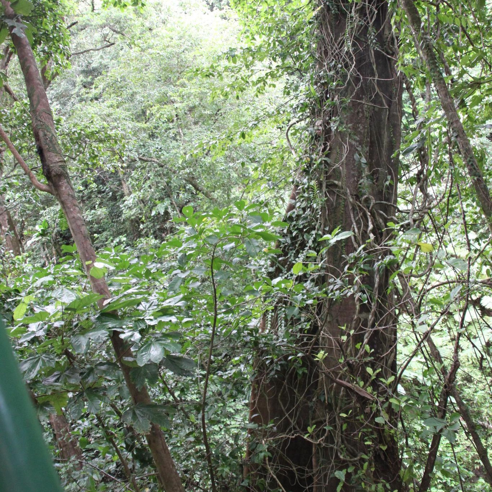
The Hafenlohr is a 26.5 km long (27.7 km including the Tiergartenbach) right tributary of the Main River in the districts of Aschaffenburg and Main-Spessart in the Bavarian Spessart region. The Hafenlohr rises from two springs in the municipality of Rothenbuch. The longer and occasionally more water-rich branch is the Tiergartenbach, which often dries up on dry days. Officially, it is considered the upper course of the Hafenlohr main watercourse. The source, known as the Hafenlohr Spring, in the center of the village provides water almost year-round. The Hafenlohr Spring is located at Rothenbuch Castle. It was encased in sandstone during the road widening of the St 2317. Its water flows northwest through the castle moat and, after about 100 meters, flows from the left bank into the bed of the Tiergartenbach, which flows from the Tiergartengrund on the northern edge of the village and is already 1.3 km[7] long. It doesn't provide water year-round, but at times it provides more than the perennial spring at the castle. The spring at the castle was probably once a meeting place for hunters in the eastern Spessart, which is why construction of a hunting lodge began here in 1342. The spring water fed the castle moat and several surrounding trout lakes, which no longer exist. Source and further information: https://de.wikipedia.org/wiki/Hafenlohr_(Fluss)
1
0
The Hafenlohr is a 26.5 km long (27.7 km including the Tiergartenbach) right tributary of the Main River in the districts of Aschaffenburg and Main-Spessart in the Bavarian Spessart region. The Hafenlohr rises from two springs in the municipality of Rothenbuch. The longer and occasionally more water-rich branch is the Tiergartenbach, which often dries up on dry days. Officially, it is considered the upper course of the Hafenlohr main watercourse. The source, known as the Hafenlohr Spring, in the center of the village provides water almost year-round. The Hafenlohr Spring is located at Rothenbuch Castle. It was encased in sandstone during the road widening of the St 2317. Its water flows northwest through the castle moat and, after about 100 meters, flows from the left bank into the bed of the Tiergartenbach, which flows from the Tiergartengrund on the northern edge of the village and is already 1.3 km[7] long. It doesn't provide water year-round, but at times it provides more than the perennial spring at the castle. The spring at the castle was probably once a meeting place for hunters in the eastern Spessart, which is why construction of a hunting lodge began here in 1342. The spring water fed the castle moat and several surrounding trout lakes, which no longer exist. Source and further information: https://de.wikipedia.org/wiki/Hafenlohr_(Fluss)
1
0
Karlstadt is the district seat of the Lower Franconian district of Main-Spessart and is located approximately 30 kilometers north of Würzburg in the Main Franconian wine-growing region. The first mention of Karlburg in 742 is directly related to the founding of the Diocese of Würzburg. Around 1202, the settlement of Karlstadt, located near Karlburg, was founded by Bishop Konrad von Querfurt. The exact founding date is unknown. The earliest evidence of the town seal dates back to 1277. Source: Wikipedia
1
0
Frequently Asked Questions
How many gravel bike trails are available around Himmelstadt?
There are over 75 gravel bike trails around Himmelstadt, offering a wide range of options for exploration. These routes are highly rated by the komoot community, with an average score of 4.6 stars.
What kind of terrain can I expect on gravel bike trails near Himmelstadt?
The terrain around Himmelstadt is quite diverse, characterized by a blend of sun-drenched vineyards, extensive forest areas, and routes along the Main River. You can expect challenging climbs, picturesque trails, and crunchy paths, reflecting the region's 'land of 1000 hills' topography. Some sections might even require dismounting and pushing your bike on steeper segments.
Are there gravel trails for beginners or more advanced riders in Himmelstadt?
Yes, Himmelstadt offers gravel trails suitable for various skill levels. You'll find approximately 40 moderate routes and 36 more difficult trails, ensuring options for both those seeking a leisurely ride and experienced 'gravel grinders' looking for a challenge.
What are some scenic viewpoints or attractions along the gravel trails?
Many gravel trails offer stunning views over the Main Valley and vineyards. Notable viewpoints include the View of the Retzbach Vineyards from Zellingen and the View of the Main Valley from the Edelweiß. You might also encounter historical sites like Homburg Castle Ruins or natural features like the Volkenberg Black Pine Forest.
Are there any circular gravel routes available in the area?
Yes, many of the gravel routes around Himmelstadt are designed as loops. For example, the Karlstadt Old Town – Schweinebucht loop from Thüngersheim and the Schweinebucht – Stettener Stein Vineyards loop from Zellingen are popular circular options that allow you to start and end in the same location.
What is the best time of year for gravel biking in Himmelstadt?
The Main Valley region, including Himmelstadt, is generally pleasant for cycling from spring through autumn. The sun-drenched vineyards are particularly beautiful during the warmer months. While specific winter conditions can vary, the diverse terrain means you can often find suitable routes even outside peak season, though some trails might be more challenging with adverse weather.
Are there family-friendly gravel biking options near Himmelstadt?
While many routes feature challenging climbs, the region also offers 'Genussroutes' (enjoyment routes) that are more leisurely. The scenic routes along the Main River are generally flatter and more accessible, making them suitable for families. Always check the route details on komoot for specific difficulty ratings and elevation profiles to ensure it matches your family's capabilities.
Can I reach Himmelstadt by public transport for gravel biking?
Himmelstadt is situated directly on the Main River, which often means good connectivity. For detailed information on public transport options to Himmelstadt and how to transport your bike, it's best to consult local transport schedules or resources like Frankentourismus.de for regional travel advice.
Where can I find parking for gravel biking in Himmelstadt?
Himmelstadt and its surrounding towns, being popular for outdoor activities, typically offer various parking facilities. Look for designated parking areas near trailheads or in the village centers. It's advisable to check local signage upon arrival for specific parking regulations and availability.
What do other gravel bikers enjoy most about the trails in Himmelstadt?
The komoot community rates the gravel trails around Himmelstadt very highly, with an average score of 4.6 stars from over 40 reviews. Riders frequently praise the varied landscapes, from the picturesque vineyards of Stettener Stein to the extensive forest areas, and the engaging mix of challenging climbs and scenic river paths.
Are there any specific natural highlights to look out for on the trails?
Beyond the vineyards and forests, the region boasts unique natural features. Keep an eye out for the 'Schweinsgrube,' a small forest lake, and the 'Lichteiche,' a forest clearing with an 18th-century statue of Mary. The Steinhöhe Summit Cross and Breitfeldhöhe Summit and Panoramic Viewpoint also offer rewarding views.
Are there any routes that follow the Main River?
Yes, Himmelstadt's location directly on the Main River means there are accessible and scenic routes that run alongside the water. These paths often provide a different riding experience compared to the hilly vineyard and forest trails, offering flatter sections and beautiful river views.
Most popular routes around Himmelstadt
Most popular attractions around Himmelstadt

Get inspired with the komoot mobile app


Explore more
Browse the best Gravel rides in other regions.
