The best gravel rides around Stadtlauringen
4.8
(26)
181
riders
28
rides
Gravel biking around Stadtlauringen offers a network of routes through the region's varied landscape. The area is characterized by rolling hills, dense forest sections, and agricultural tracks that connect small villages. Riders can expect a mix of paved and unpaved surfaces, typical for gravel cycling in rural German regions. These trails provide opportunities to explore the natural environment and local points of interest.
Best gravel bike trails around Stadtlauringen
- The most popular gravel bike trail is Rotenhan Castle Ruins –…
Last updated: October 19, 2026
5.0
(1)
12
riders
69.2km
04:39
1,080m
1,080m
Hard gravel ride. Very good fitness required. Mostly paved surfaces. Suitable for all skill levels.
5.0
(4)
10
riders
52.6km
03:37
680m
680m
Hard gravel ride. Very good fitness required. Mostly paved surfaces. Suitable for all skill levels.

4.6
(5)
10
riders
56.6km
03:43
720m
720m
Hard gravel ride. Very good fitness required. Mostly paved surfaces. Suitable for all skill levels.
18
riders
Hard gravel ride. Very good fitness required. Mostly paved surfaces. Suitable for all skill levels.
5
riders
59.4km
04:17
990m
990m
Hard gravel ride. Very good fitness required. You may need to push your bike for some segments of this route.
Get access to more routes and recommendations from other explorers.
Already have an account?
Our route recommendations are based on thousands of hikes, rides, and runs completed by other people on komoot.
Start today with a free account
Your next adventure awaits.
Other adventures around Stadtlauringen

Tips from the Community

Currently (early September 2026), the viewing platform is closed as the wood is apparently rotten and needs to be replaced.
0
0

Magnificent viewpoint with an accurate panorama map. The view extends from the Kulch to the Ummersberg. Kloster Banz and the Staffelberg can be seen as the most famous points.
12
0
Opportunity for a break, right next to it an interesting board about the course of the Baunach.
5
0
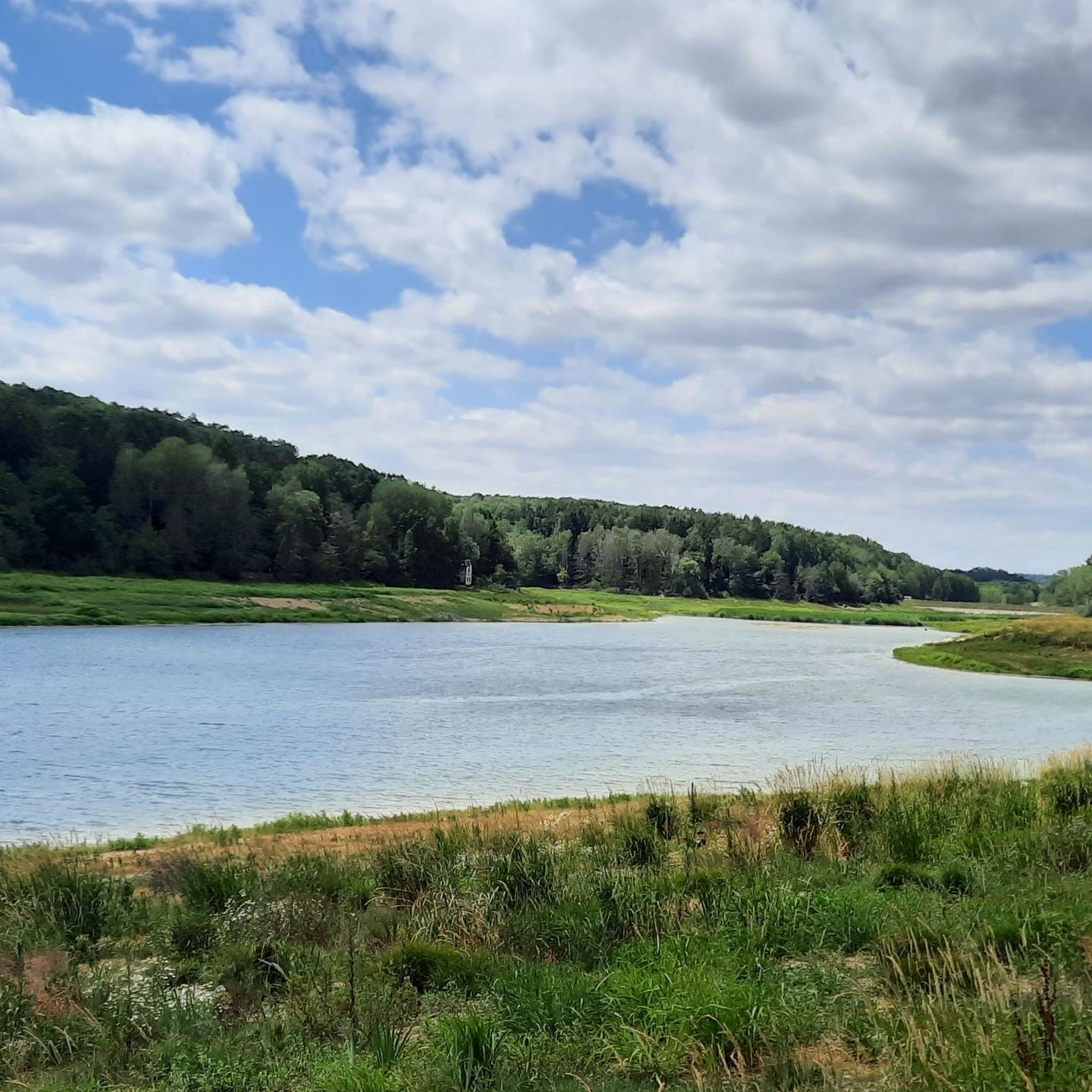
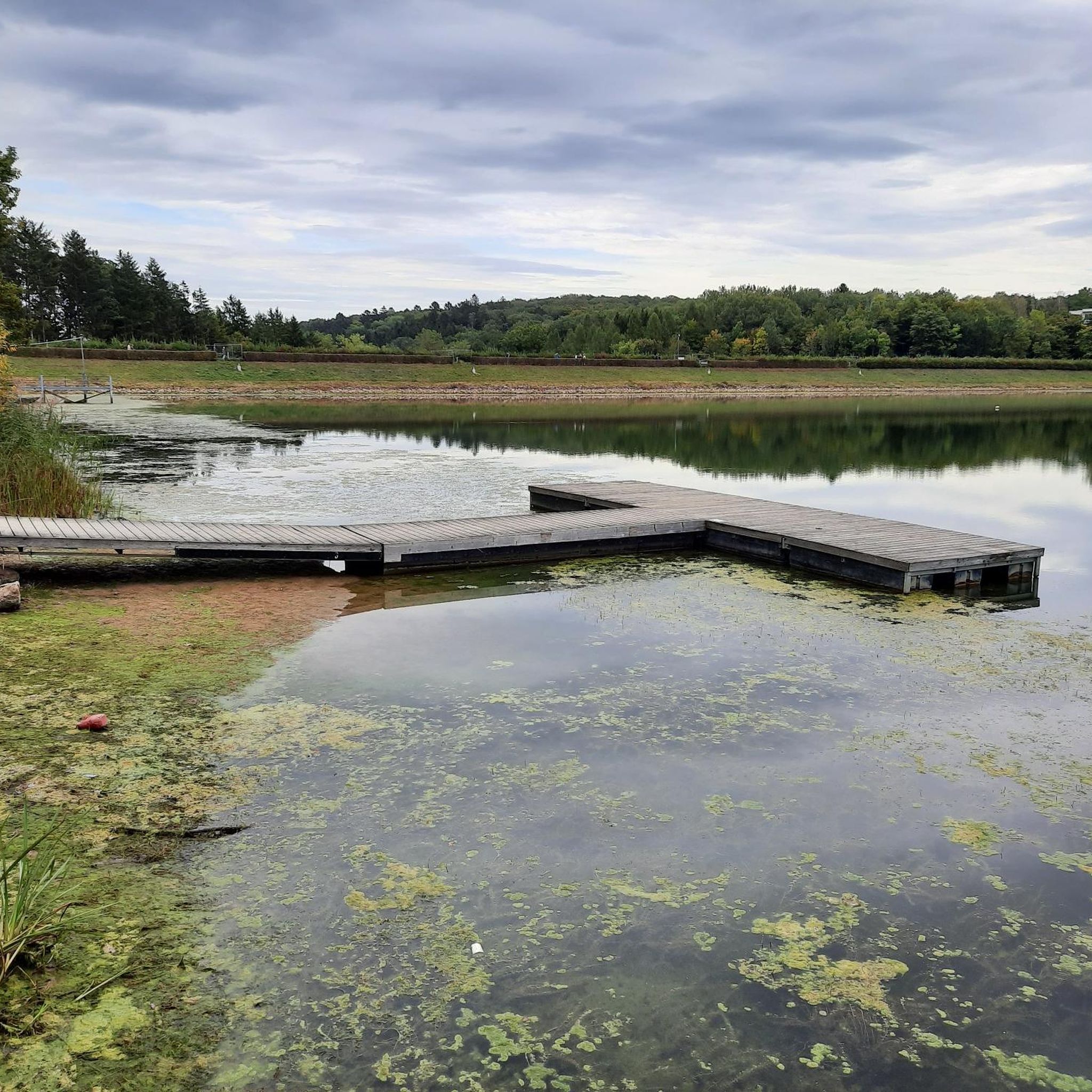
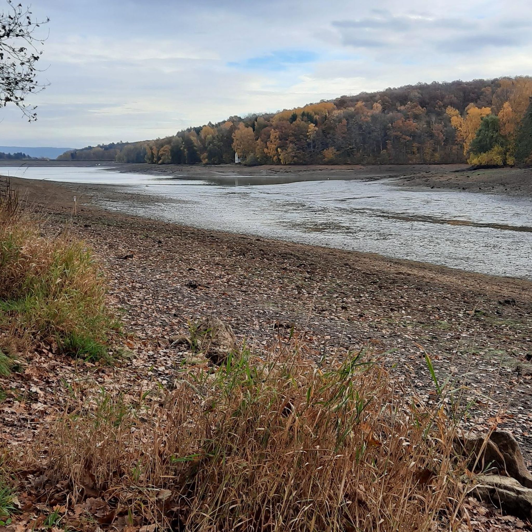
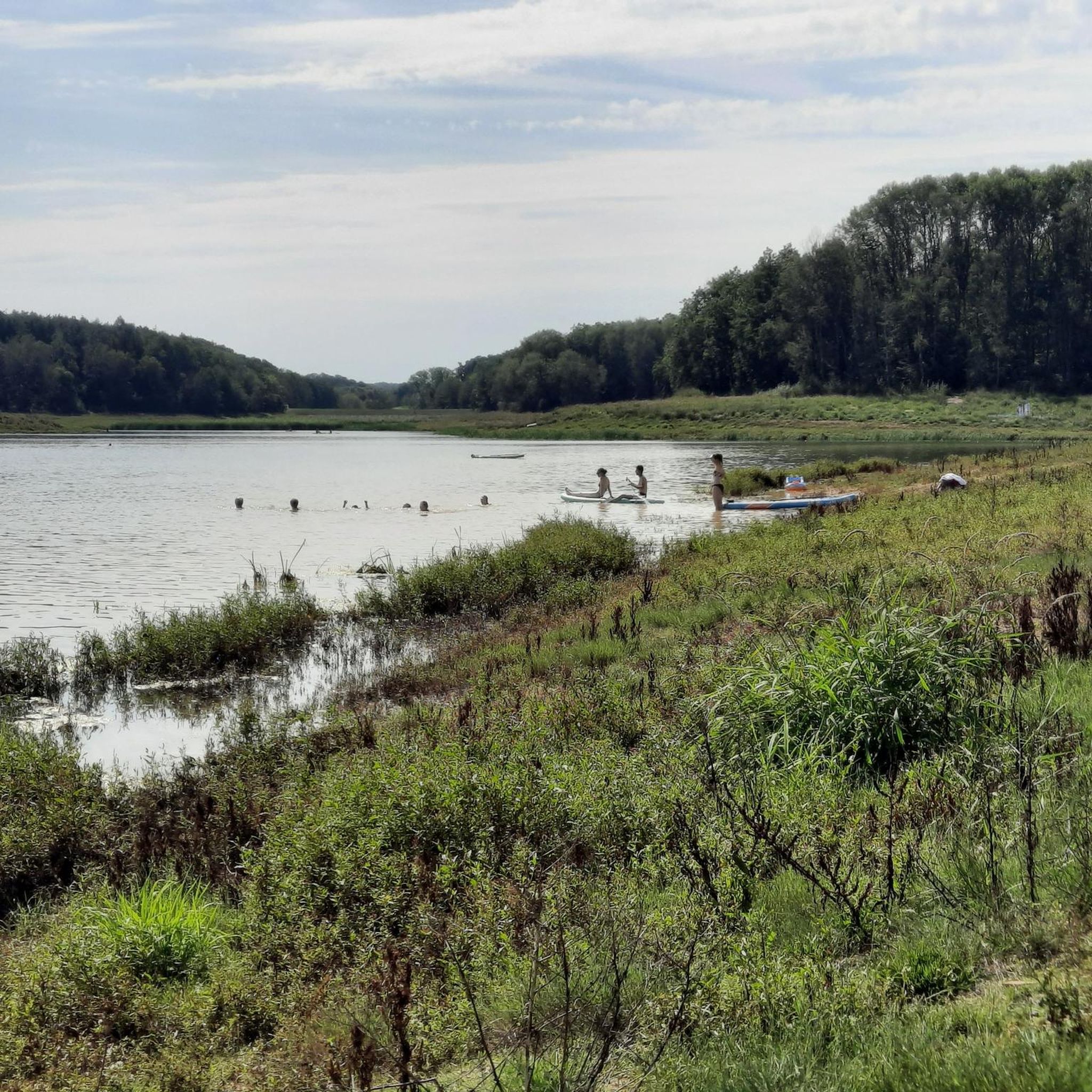
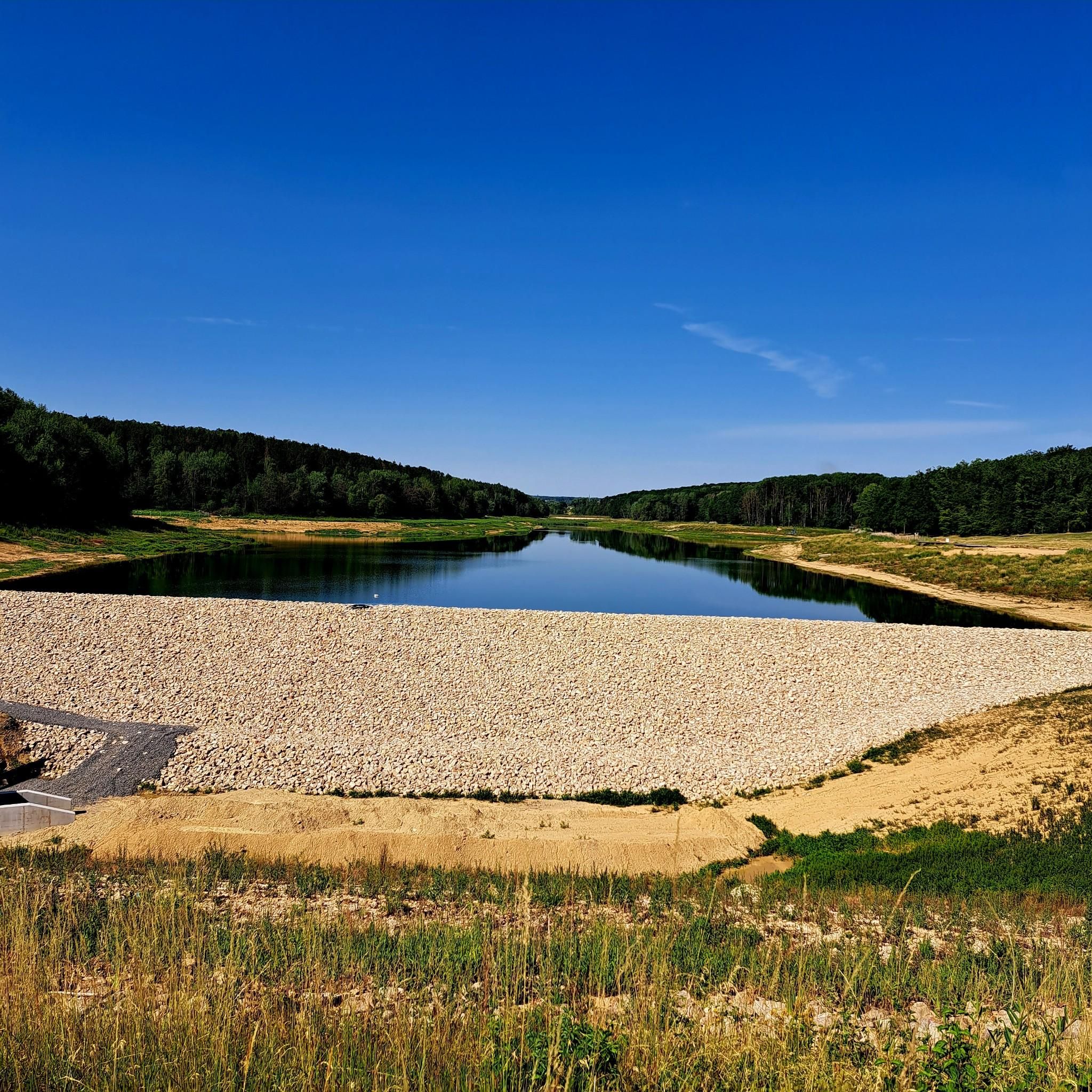
Here you are at the front Baumachsee, a detour to the rear Baunachsee is worthwhile. There is a seating area as well as an information board about the course of the Baunach.
9
0

The Weisachtal-Radweg (often called Weisach-Radweg) is a family-friendly route in the Haßbergen region that connects Maroldsweisach with Ebern. A special highlight is the use of former railway lines, which makes the route very flat and relaxed. You cycle through the idyllic Weisachtal in the Haßberge Nature Park, characterized by meadows and gentle hills.
3
0

Friesenhausen Castle was built as a moated castle in the 13th/14th century.
12
3

Parking lot with seven intersections
1
0
Frequently Asked Questions
What types of gravel bike trails can I expect around Stadtlauringen?
The region around Stadtlauringen offers a diverse network of gravel bike trails characterized by rolling hills, dense forest sections, and agricultural tracks. You'll encounter a mix of paved and unpaved surfaces, typical for gravel cycling in rural German areas, connecting various small villages and natural landscapes.
Are there easy gravel bike trails suitable for beginners in Stadtlauringen?
Yes, while many routes are rated moderate to difficult, there is at least one easy gravel bike trail available. The overall network offers options for different ability levels, so beginners can find suitable paths to explore the area.
What are the typical lengths and durations of gravel bike routes in this area?
Gravel bike routes around Stadtlauringen vary in length, with many popular loops ranging from approximately 30 to 70 kilometers (18 to 43 miles). Depending on the distance and elevation, these routes can take anywhere from 3 to almost 6 hours to complete.
What kind of scenery and viewpoints can I find on the gravel trails?
The trails offer scenic views of local lakes, such as those found on the Sulzfelder Lake – View of Lake Ellertshäuser loop or the View of Lake Ellertshäuser – Baunachsee loop. You can also find panoramic views from spots like the Schwedenschanze Observation Tower, which is a popular highlight in the area.
Are there any historical sites or landmarks to see along the gravel routes?
Absolutely. Many routes connect historical points of interest. For instance, the Rotenhan Castle Ruins – Altenstein Castle Ruins loop takes you past significant historical ruins. Other notable castles in the vicinity include Brennhausen Castle, Craheim Castle, and Thundorf Moated Castle.
What do other gravel bikers say about the trails in Stadtlauringen?
The gravel biking routes around Stadtlauringen are highly rated by the komoot community, with an average score of 4.7 stars from over 19 reviews. Riders often praise the varied terrain, the connection of historical sites, and the beautiful natural environment.
Are there any family-friendly gravel biking options in Stadtlauringen?
While many of the longer routes are rated difficult, the presence of easy gravel bike trails suggests there are options suitable for families or those looking for a less strenuous ride. Look for shorter, flatter sections or dedicated cycle paths that are part of the wider network.
Can I find places to stop for refreshments or rest along the trails?
Yes, the region features small villages connected by the trails, which may offer opportunities for refreshments. Additionally, there are huts like the Fichtenbusch Hut and Tannenberghütte Ottenhausen that can serve as rest stops.
What is the best time of year for gravel biking around Stadtlauringen?
The varied landscape of Stadtlauringen, with its forests and agricultural tracks, makes it enjoyable across multiple seasons. Spring and autumn offer pleasant temperatures and beautiful scenery, while summer provides longer daylight hours. Winter riding is possible, but conditions may vary with snow or ice.
Are there circular gravel bike routes available?
Yes, many of the popular gravel bike routes in the area are designed as loops, allowing you to start and end at the same point. Examples include the Rennweg Trail – Weisach Cycle Path loop and the Bramberg Castle Ruins – Königsberg Castle in Bavaria loop.
How many gravel bike routes are available in the Stadtlauringen area?
There are over 40 gravel bike routes available around Stadtlauringen, offering a wide range of choices for different skill levels and preferences.
Most popular routes around Stadtlauringen
Most popular attractions around Stadtlauringen

Get inspired with the komoot mobile app


Explore more
Browse the best Gravel rides in other regions.
