The best gravel rides around Hohenroda
5.0
(7)
22
riders
10
rides
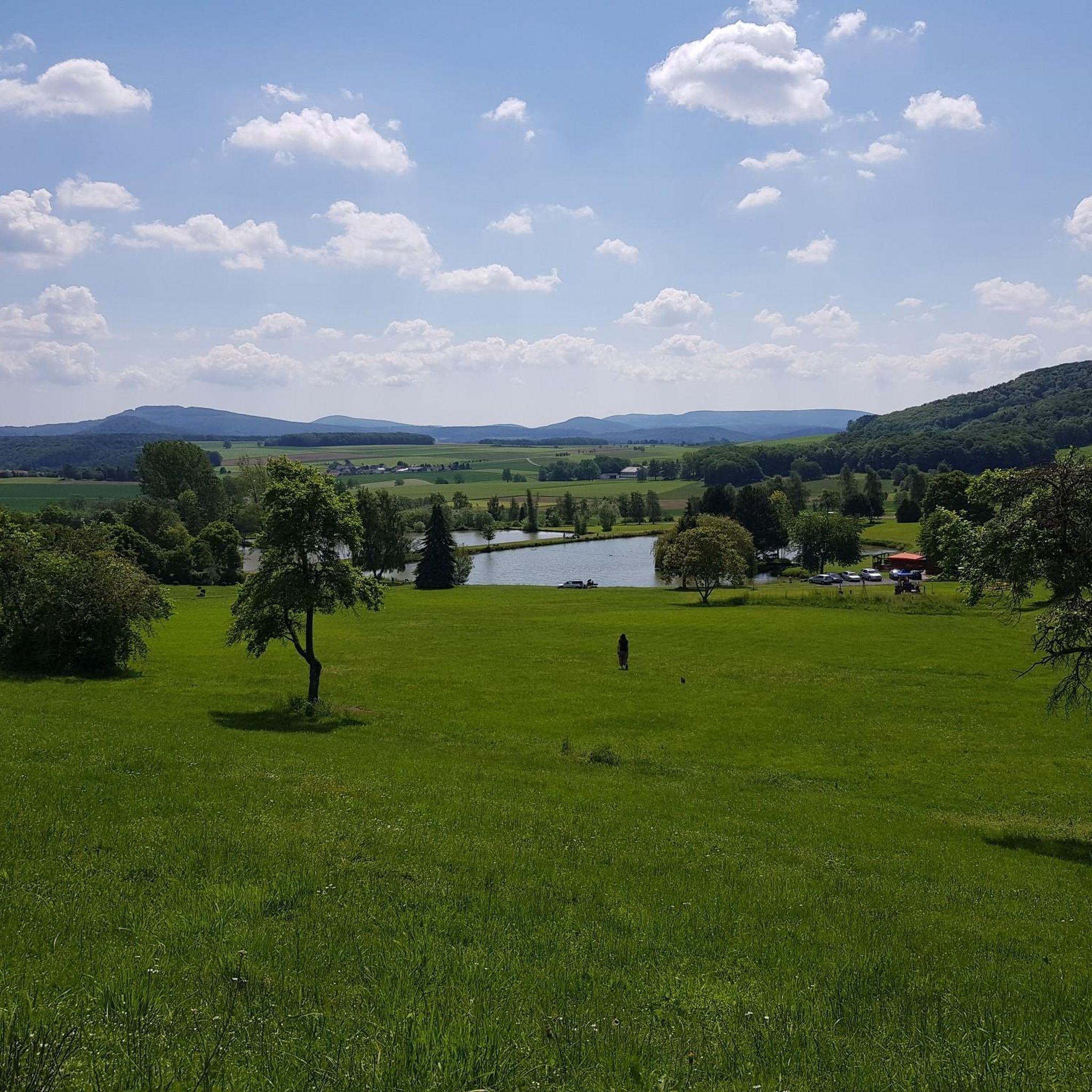
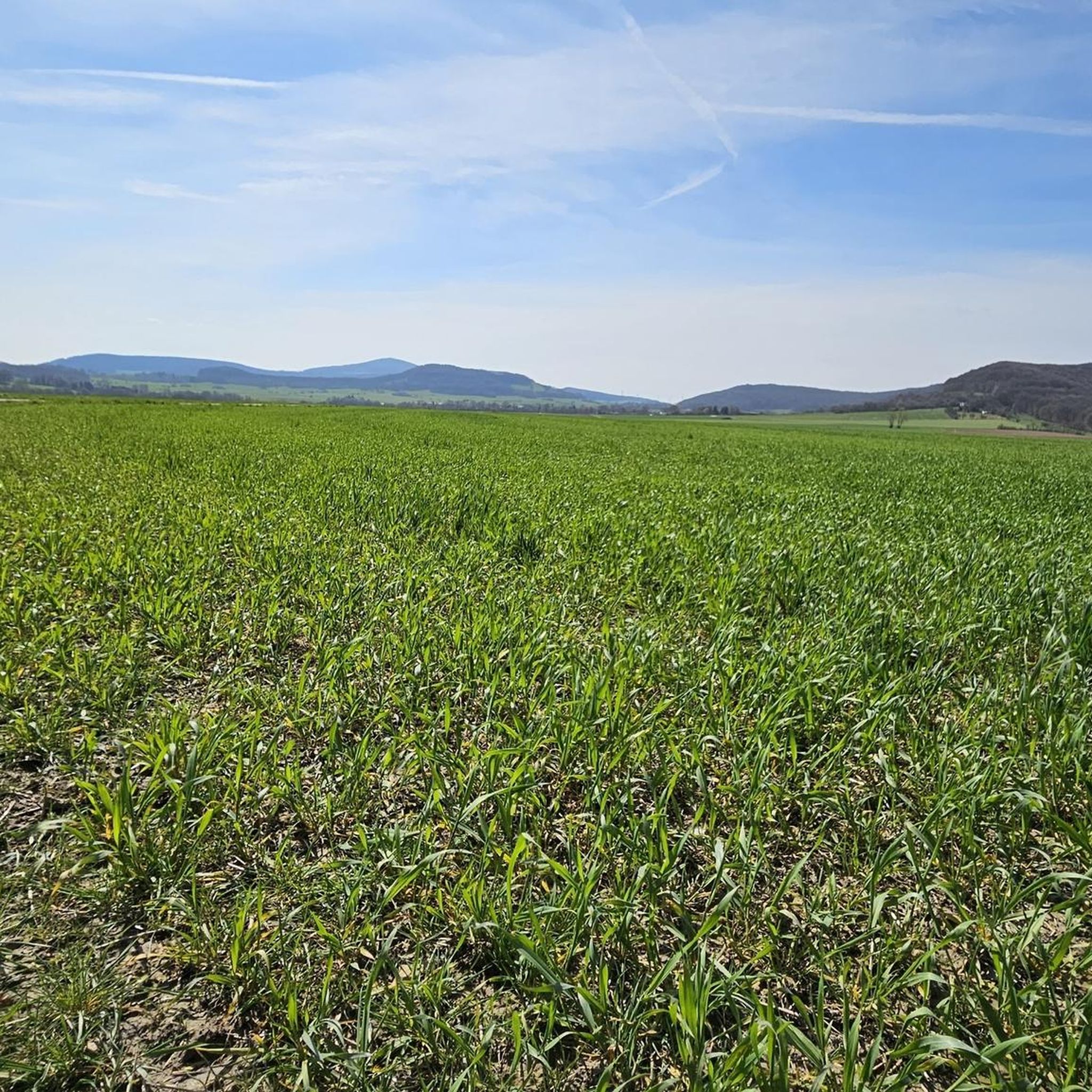
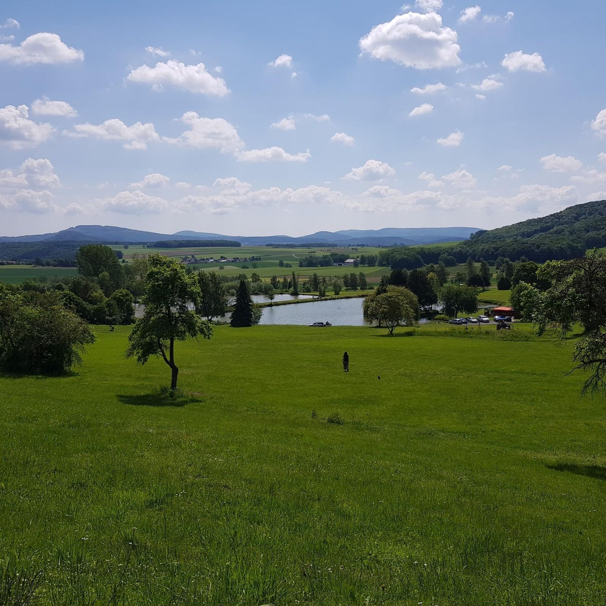
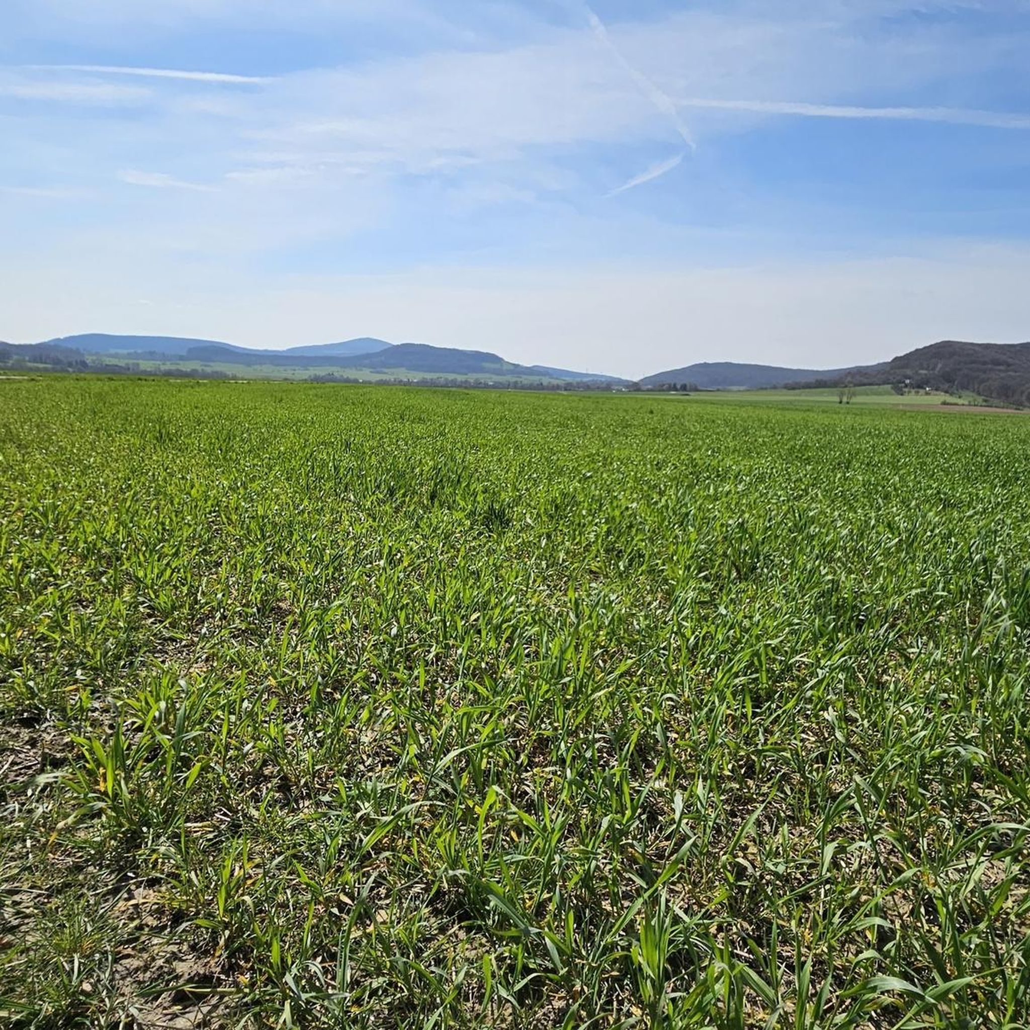
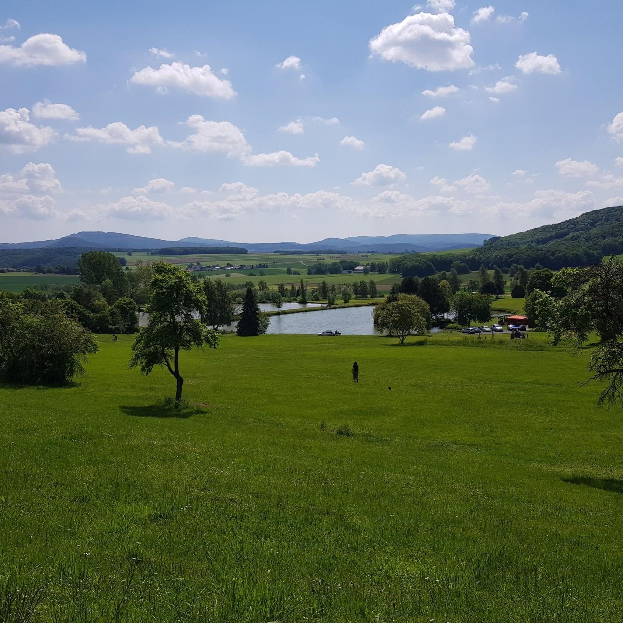
Gravel biking around Hohenroda features a landscape characterized by river valleys, rolling hills, and extensive forests, providing diverse terrain for cyclists. The region is situated in the Kuppenrhön, known for its dome-shaped hills and basalt formations like the Soisberg. It also includes parts of the UNESCO Biosphere Reserve Rhön and the historic "Grüne Band," offering a mix of established cycle paths and less-trafficked gravel tracks. These varied environments provide surfaces ranging from mostly paved sections to those with loose underground.
…Last updated: July 3, 2026
5.0
(2)
9
riders
42.3km
02:32
420m
420m
Hard gravel ride. Good fitness required. You may need to push your bike for some segments of this route.
1
riders
27.5km
01:53
410m
410m
Moderate gravel ride. Good fitness required. Mostly paved surfaces. Suitable for all skill levels.

Sign up for free
3
riders
19.5km
01:11
300m
300m
Moderate gravel ride. Good fitness required. Mostly paved surfaces. Suitable for all skill levels.
1
riders
18.6km
01:15
390m
390m
Moderate gravel ride. Good fitness required. Mostly paved surfaces. Suitable for all skill levels.
2
riders
15.0km
00:56
180m
180m
Moderate gravel ride. Good fitness required. Mostly paved surfaces. Suitable for all skill levels.
Get access to more routes and recommendations from other explorers.
Sign up for free
Already have an account?
Our route recommendations are based on thousands of hikes, rides, and runs completed by other people on komoot.
Start today with a free account
Your next adventure awaits.
Login or Signup
Tips from the Community

The first documented mention of Geisa dates back to the year 817. In 1302, the designation of city appears for the first time in a document. The chronicler once described the old town, picturesquely beautiful, as a "strawberry in a moss basket" on a long ridge (280 to 322 m above sea level) between the mountain tops of the Vordere Rhön. The towers of the parish church, the town hall and the Schlossplatz ensemble, the historically grown arrangement of residential buildings in conjunction with the approx. 1000 m long town fortifications and the park-like designed summit of the Gangolfiberg with an ancient court and the architecturally historically valuable cemetery chapel "St. Gangolf" with an external pulpit, shape a romantically dreamy image. Source: https://www.thueringen.info/ort/geisa/
1
0
The 529 m high Rockenstuhl is the landmark of the Geisaer Land and is located about 5 km south of Geisa between the Ulster and Geisa valleys. At the foot of the mountain is the five-meter-high "Kreuz der Geiserämter" (Cross of the Geisa Offices), which was solemnly consecrated during the medieval festival in 2006. The Geisaer Amt with its razed farms is depicted on a basalt surface.
1
0

So hidden and so interesting. I can only recommend packing this into the tour.
0
0

The tower is open again and can also be climbed.
1
0

Beautiful old town in Geisa.
0
0
Beautiful view of the Rhön.
0
0

Ulstertal cycle path between Schleid and Motzlar, here asphalted
0
0

When the small observatory was built in 1971 and 1972 on the hill not far from the then-quietly used A4 motorway, the outskirts of the village were considerably farther away than they are today. Hardly any artificial light source obscured the stargazers' view of the night sky here, just outside the village gates. "Back then, this location was ideal," emphasizes Arnulf von der Stein after unlocking the massive outer door. Now 83, he witnessed the development of this rather functional, purpose-built building, whose appearance, thanks to its distinctive dome, nevertheless resembles a miniature cathedral, from its beginnings to its demise.
1
0
Frequently Asked Questions
How many gravel bike trails are available around Hohenroda?
There are over 20 gravel bike trails around Hohenroda, offering a mix of moderate and challenging routes. The region features river valleys, nature reserves, and rolling hills, providing diverse terrain for cyclists.
Are there any family-friendly gravel bike routes in Hohenroda?
While many routes in Hohenroda involve moderate elevation changes, some sections along the Solztal and Ulster cycle paths are generally flatter and more suitable for families. For a moderate option, consider the Blue Bridge over the Ulster River – Sängerwiese Bermbach loop from Vacha, which is shorter at 27.0 km.
Can I bring my dog on the gravel trails in Hohenroda?
Many gravel trails in Hohenroda, especially those through woodlands and open fields, are suitable for cycling with dogs, provided they are well-behaved and kept on a leash where necessary. Always check local regulations for nature reserves or specific areas you plan to visit. The Rhäden Nature Reserve – View of Monte Kali loop from Philippsthal (Werra) offers varied terrain that can be enjoyable with a canine companion.
What are some longer gravel bike routes near Hohenroda?
For a longer ride, the Solztal Cycle Path – Fuldawiesen near Meckbach loop from Motzfeld covers 46.8 km with moderate difficulty. Another option is the challenging Pond by the Ulster Cycle Path – Solztal Cycle Path loop from Philippsthal (Werra), which extends to 49.1 km.
Are there challenging gravel bike routes for experienced riders in Hohenroda?
Yes, Hohenroda offers several challenging routes. The Pond by the Ulster Cycle Path – Solztal Cycle Path loop from Philippsthal (Werra) is rated as difficult, featuring significant elevation changes over its 49.1 km length. These routes often include more technical gravel sections and steeper climbs.
Are there circular gravel bike routes in Hohenroda?
Many of the gravel bike routes in Hohenroda are designed as loops, allowing you to start and end at the same point. Examples include the Bodesruh Memorial – View of Monte Kali loop from Friedewald (42.3 km) and the Rhäden Nature Reserve – View of Monte Kali loop from Philippsthal (Werra) (44.2 km).
What is the best season for gravel biking in Hohenroda?
Gravel biking in Hohenroda is enjoyable throughout the warmer months, from spring to autumn, when trails are generally dry and the weather is pleasant. Spring offers blooming landscapes, while autumn provides vibrant foliage. Winter riding is possible but may involve colder temperatures and potentially muddy or icy conditions on some paths.
What scenic viewpoints or attractions can I find along the gravel bike trails?
Many routes offer views of the distinctive Monte Kali, a prominent landmark. You can also explore the Landeck Castle Ruins or the Schlangenpfad (Snake Path) near Geisa. The Rhäden Nature Reserve – View of Monte Kali loop from Philippsthal (Werra) specifically highlights natural beauty and the Monte Kali view.
Are there places to stop for refreshments or cafes along the routes?
While specific cafes are not always directly on the trails, routes often pass through or near villages and towns where you can find places to stop for refreshments. Some routes may also lead past huts or rest areas, such as the Oechsenberg Hut or the Schwarzer Stock Rest Area, which can offer a break.
Where can I find parking or trailhead access for gravel biking in Hohenroda?
Many routes in Hohenroda are loops that start and end in towns like Motzfeld, Philippsthal (Werra), or Friedewald, where public parking is often available. Specific trailhead parking information can usually be found on individual route pages on komoot, or by checking local signage upon arrival.
What do other gravel bikers enjoy most about Hohenroda?
The gravel biking experience in Hohenroda is highly rated by the komoot community, with an average score of 4.7 stars from over 10 reviews. Reviewers often praise the varied terrain, the mix of established cycle paths and less-trafficked gravel tracks, and the scenic views of river valleys and rolling hills.
Are there less crowded gravel routes in Hohenroda?
To find less crowded routes, consider exploring trails that venture deeper into the woodlands or away from the main river cycle paths. While specific 'hidden' routes aren't highlighted, the region generally offers a good balance of popular and quieter paths, especially on weekdays or outside of peak tourist seasons.
Most popular routes around Hohenroda
Most popular attractions around Hohenroda

Get inspired with the komoot mobile app


Explore more
Browse the best Gravel rides in other regions.
