The best gravel rides around Sandl
4.4
(8)
42
riders
8
rides
Gravel biking around Sandl, located in Upper Austria's Mühlviertel region, is characterized by its unique granite landscape and diverse terrain. The area features gently rolling to hilly terrain, with a mix of forests, meadows, and rural roads. Routes often combine asphalt with unpaved forest roads and gravel paths, providing a dynamic experience. This region offers a tranquil environment with challenging climbs and rewarding downhills.
Best gravel bike trails around Sandl
- The most popular gravel bike trail is Hirschenwies border crossing…
Last updated: October 19, 2026
4.0
(1)
8
riders
67.3km
04:40
1,230m
1,230m
Hard gravel ride. Very good fitness required. Mostly paved surfaces. Suitable for all skill levels.
4.3
(4)
9
riders
58.9km
04:06
1,130m
1,130m
Hard gravel ride. Very good fitness required. Mostly paved surfaces. Suitable for all skill levels.

4.5
(2)
7
riders
57.6km
04:04
1,120m
1,110m
Hard gravel ride. Very good fitness required. Mostly paved surfaces. Suitable for all skill levels.
5
riders
23.2km
01:39
330m
340m
Moderate gravel ride. Good fitness required. Mostly paved surfaces. Suitable for all skill levels.
2
riders
25.2km
01:45
470m
470m
Hard gravel ride. Very good fitness required. Mostly paved surfaces. Suitable for all skill levels.
Get access to more routes and recommendations from other explorers.
Already have an account?
Our route recommendations are based on thousands of hikes, rides, and runs completed by other people on komoot.
Start today with a free account
Your next adventure awaits.
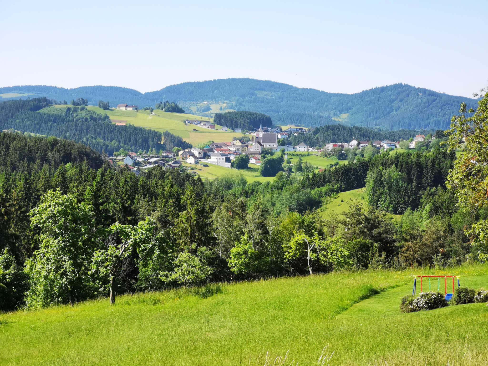


Tips from the Community

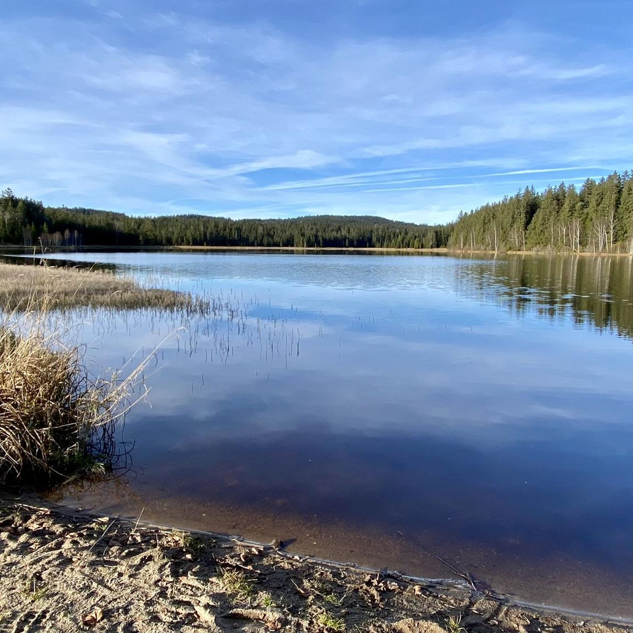
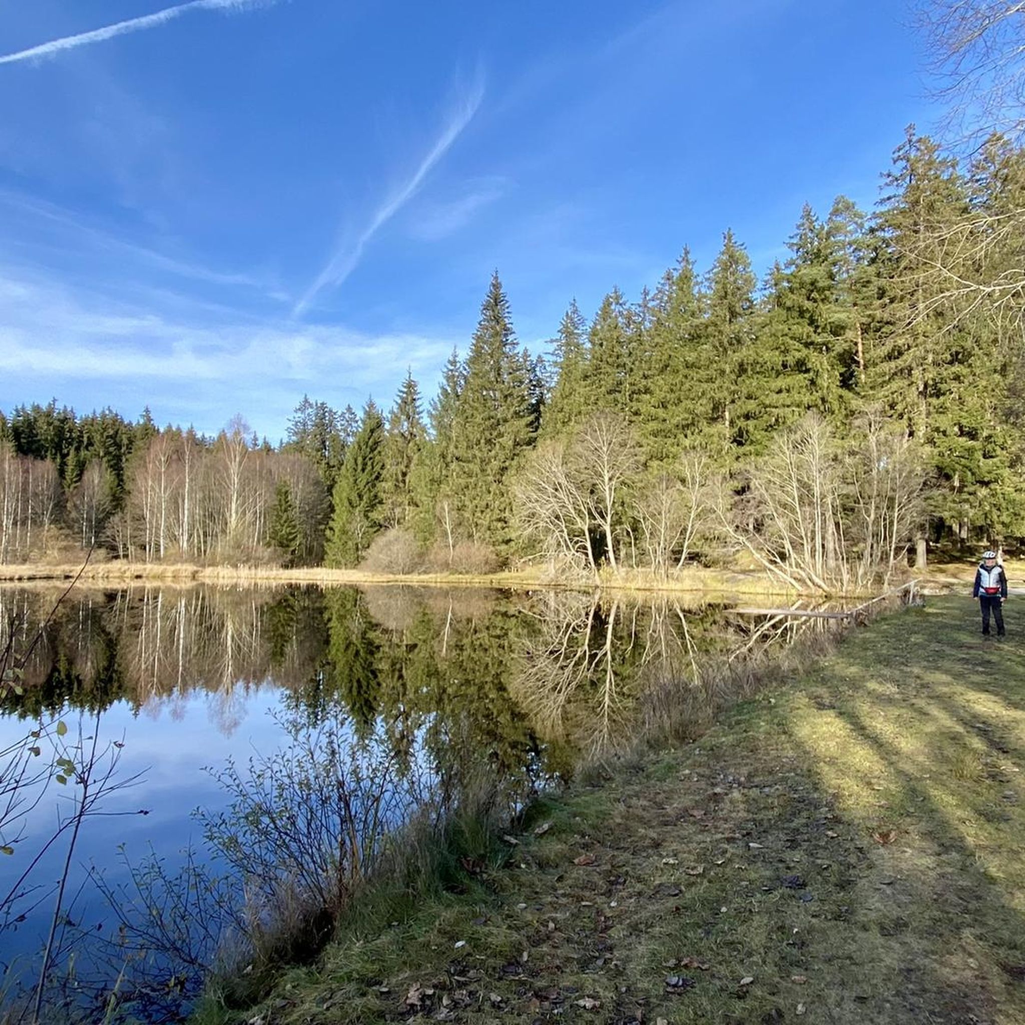
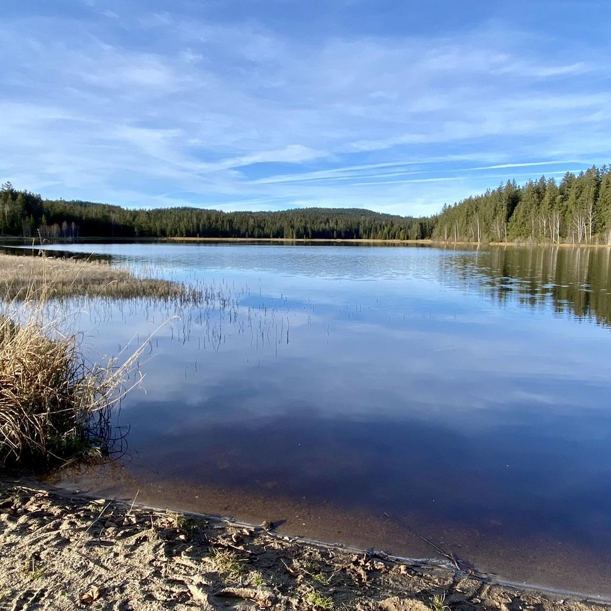
The Rubener Teich is a romantic, hidden natural moor bathing lake next to the Tanner Moor, with tiny bays and cozy spots. Right next to the Rubener Teich is the Moortreff. The natural beer garden offers a good opportunity to stop for refreshments.
0
0

The marked narrow MTB trail from Stadlberg upwards starts quite harmlessly, but then increases in gradient and also contains tricky narrow sections with larger stones; for the "cautious" alternatives via wider paths to the left/right would be recommended.
0
0
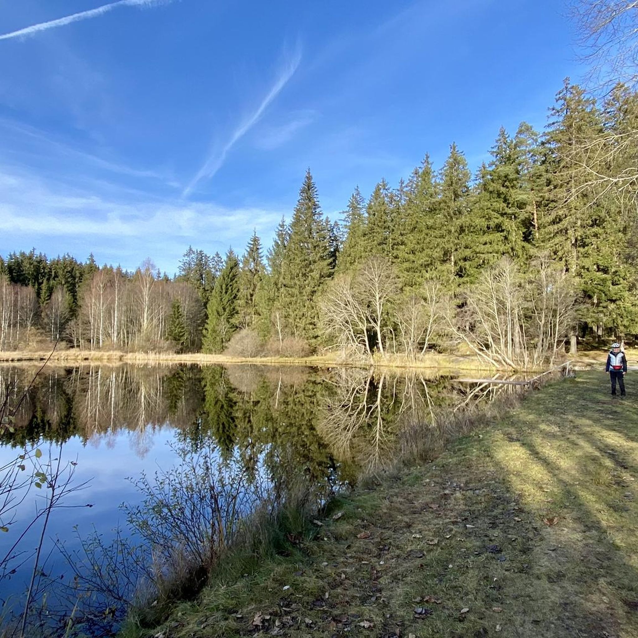
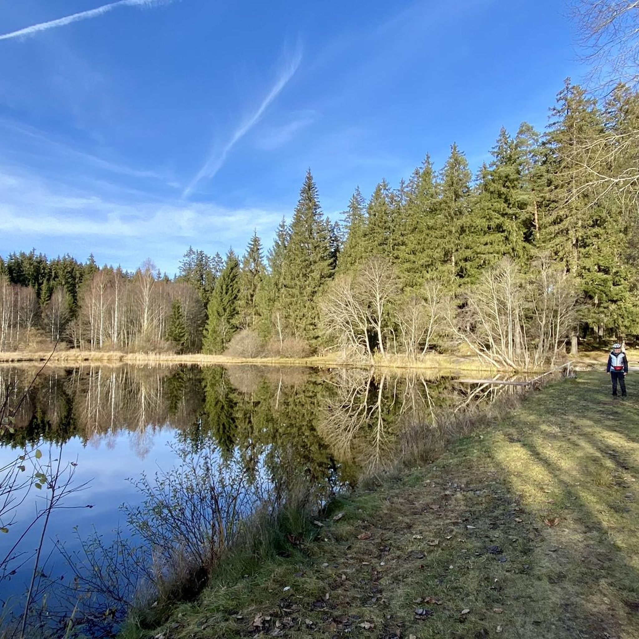
Typical wooden construction as a resting place on the Bohemian routes - unfortunately already a bit neglected. The pond invites you to linger anyway.
0
0
The route to/from Hirschenwies is a beautiful forest section on gravel, slightly uphill towards the small border crossing in the middle of the forest.
0
0
The route from/to Hirschenwies is a beautiful forest section on gravel, slightly uphill to the small border crossing in the middle of the forest.
0
0
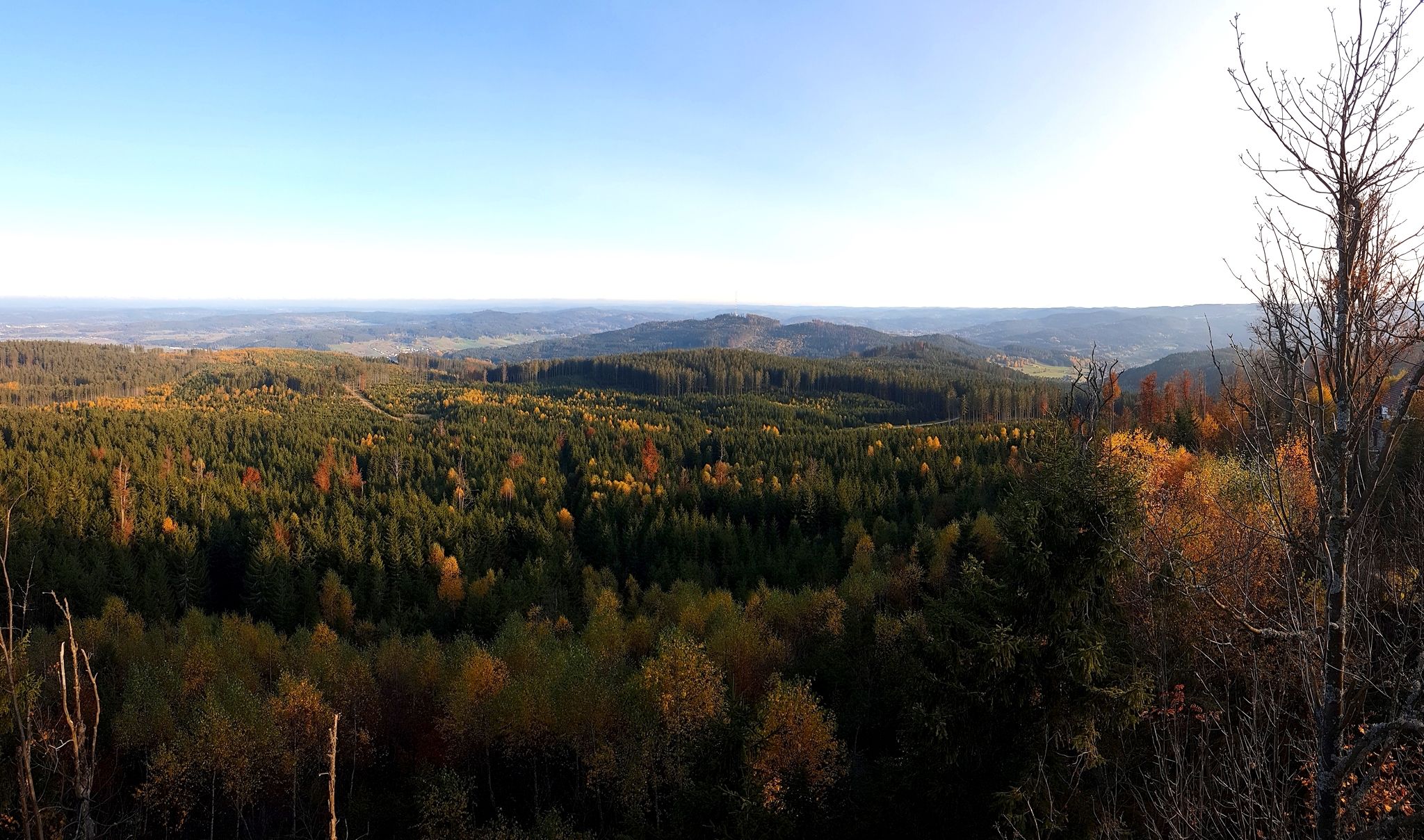
The Nebelstein is a wonderful destination with a panoramic view on a bike/MTB tour. The route between the parking lot and the hut up/down can be easily ridden with an MTB, but on days with heavy visitor traffic, it's better to go on foot.
0
0
The Nebelstein is a wonderful destination with a 360-degree view on a bike/MTB tour. The route between the parking lot and the hut up/down can be easily ridden with an MTB, but on days with heavy visitor traffic, it's better to walk.
0
0

Frequently Asked Questions
How many gravel bike trails are available around Sandl?
The Sandl region offers a diverse network of over 18 gravel bike trails. These routes cater to various preferences, ranging from moderate to difficult, ensuring a suitable option for most gravel bikers.
What kind of terrain can I expect on gravel bike trails in Sandl?
Gravel biking around Sandl, nestled in Upper Austria's Mühlviertel region, features a unique granite landscape. You'll encounter gently rolling to hilly terrain, with a mix of forests, meadows, and charming small farms. Routes often combine asphalt with unpaved forest roads and gravel paths, providing a dynamic experience with challenging climbs and rewarding downhills.
Are there gravel bike routes suitable for beginners in Sandl?
While many routes in Sandl are categorized as difficult, there are also moderate options available. For instance, the Thurytal Forest Trail – Freistadt Castle loop from Freistadt is a moderate route that offers a good introduction to the region's gravel biking, featuring varied terrain without extreme difficulty.
What natural features or landmarks can I see while gravel biking around Sandl?
The Mühlviertel, known as 'Granitland,' offers stunning granite formations and panoramic views. Along the routes, you might encounter the scenic Feldaist Stream in the Thury Valley. You can also explore cultural highlights like traditional Mühlviertel farms with their characteristic stone-block facades and serene small lakes. For specific viewpoints, consider visiting the Hoh-Haus at Buchberg Observation Tower.
Are there any specific huts or places to stop along the gravel routes?
Yes, the region has several welcoming spots. The Braunberg Hut, located near St. Oswald at Freistadt, is a popular stop for both hikers and riders, offering opportunities for rest and cultural events. You might also find other huts like Highland Farm Mühlviertel or Big Sky Ranch Liebenau.
What do other gravel bikers enjoy the most about gravel biking in Sandl?
The gravel biking experience in Sandl is highly rated by the komoot community, with an average score of 4.7 stars from more than 5 reviews. Riders often praise the tranquil environment, the sense of cycling 'off the beaten track' with minimal traffic, and the diverse terrain that combines challenging climbs with rewarding downhills and expansive panoramic views.
Are there any circular gravel bike routes in the Sandl area?
Yes, many of the gravel routes around Sandl are designed as loops, allowing you to start and end at the same point. An example is the challenging Tannermoor – Rubenerteich loop from St. Oswald bei Freistadt, which takes you through scenic forest paths and open landscapes.
Can I bring my dog on the gravel bike trails in Sandl?
The Mühlviertel region is generally dog-friendly, with many natural paths suitable for cycling with a canine companion. However, it's always advisable to keep your dog on a leash, especially in areas with wildlife or near farms, and to check local regulations for specific trails or protected areas.
Is parking available near the gravel bike trails in Sandl?
Yes, parking is generally available in and around Sandl, particularly at trailheads or in the villages where routes often begin. Specific parking information can usually be found on individual route pages or local tourism websites.
What is the best time of year for gravel biking in Sandl?
The Mühlviertel region offers enjoyable gravel biking conditions through much of the year. Spring and autumn provide pleasant temperatures and vibrant scenery. Summer is also great, though some climbs can be more strenuous in warmer weather. Winter can be challenging due to snow and ice, especially on unpaved forest roads.
Are there any routes that offer extensive views of the Mühlviertel region?
Absolutely. The hilly landscape of the Mühlviertel is known for its expansive panoramic views. The View of the Mühlviertel – Viewpoint St. Michael loop from St. Oswald bei Freistadt is specifically designed to showcase these stunning vistas, offering rewarding views across the countryside.
Are there any long-distance gravel biking options that pass through Sandl?
Yes, Sandl is a point along the significant Mühlviertel Cycle Path, a 240-kilometer route known for its hilly terrain and over 4,200 meters of elevation gain. This path offers a challenging and engaging option for those seeking a longer gravel biking adventure through the region.
Most popular routes around Sandl
Most popular attractions around Sandl

Get inspired with the komoot mobile app


Explore more
Browse the best Gravel rides in other regions.
