The best walks and hikes around Jelmstorf
4.5
(1726)
6,277
hikers
23
hikes
Hiking around Jelmstorf offers diverse landscapes characterized by tranquil forests, expansive fields, and rolling hills. The Ilmenau River flows through the municipality, providing scenic paths along its banks. The region is also situated near the Drömling Nature Park, contributing to its varied natural environment with woodlands and open countryside.
Best hiking trails around Jelmstorf
- The most popular hiking route is View of the Ilmenau Valley – Stone Steps to Sängershöh loop from Jelmstorf, a 10.4 miles (16.7 km) trail…
Last updated: October 15, 2026
4.7
(43)
110
hikers
Moderate hike. Good fitness required. Easily-accessible paths. Suitable for all skill levels.
4.4
(21)
69
hikers
23.6km
06:03
100m
100m
Hard hike. Very good fitness required. Easily-accessible paths. Suitable for all skill levels.

4.4
(7)
16
hikers
Easy hike. Great for any fitness level. Easily-accessible paths. Suitable for all skill levels.
4.3
(3)
12
hikers
1.03km
00:16
0m
10m
Easy hike. Great for any fitness level. Easily-accessible paths. Suitable for all skill levels.
5.0
(1)
4
hikers
Easy hike. Great for any fitness level. Easily-accessible paths. Suitable for all skill levels.
Get access to more routes and recommendations from other explorers.
Already have an account?
Our route recommendations are based on thousands of hikes, rides, and runs completed by other people on komoot.
Start today with a free account
Your next adventure awaits.
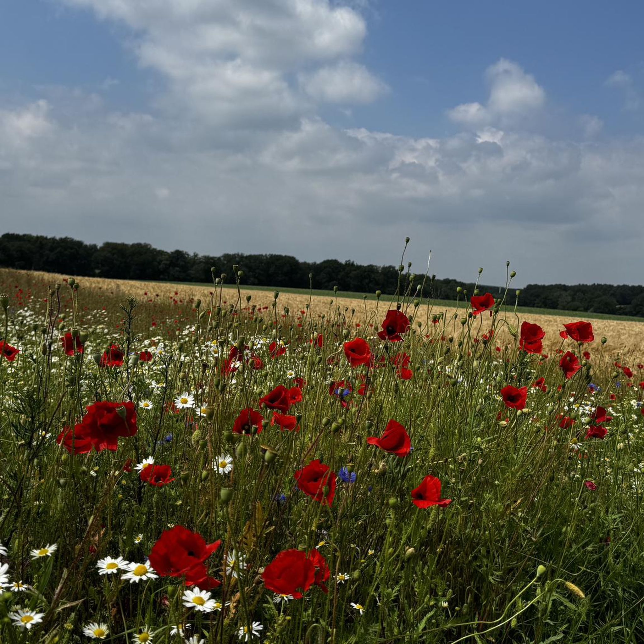
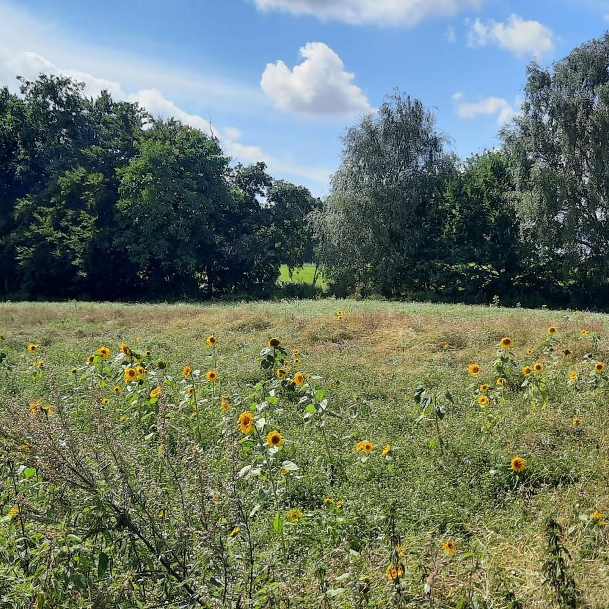
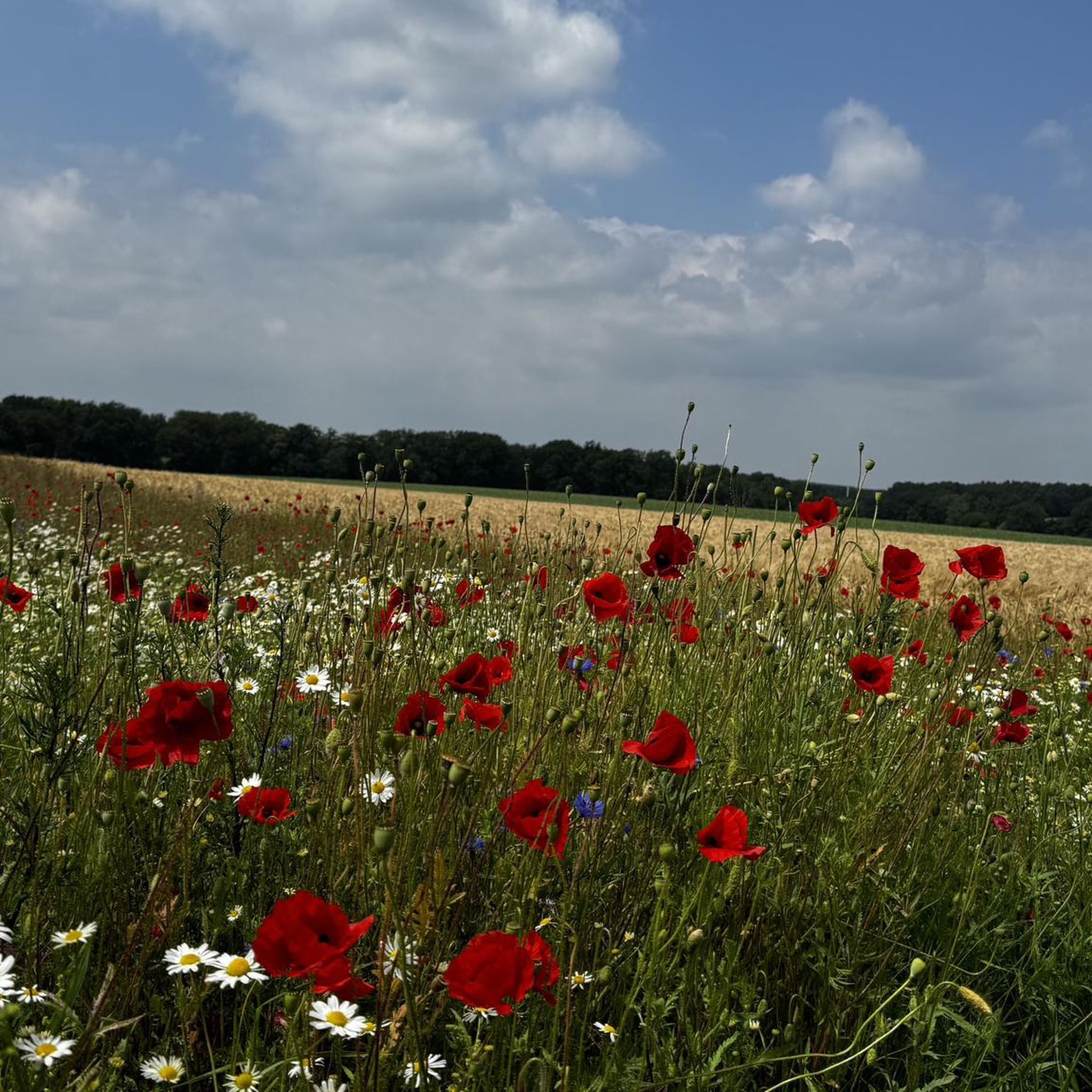
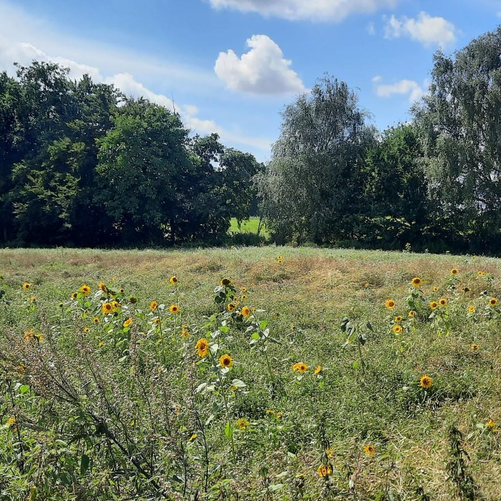
Tips from the Community

Nature-oriented route through idyllic and quiet forest and meadow landscapes in the region around Bruchtorf / Altenmedingen (Lüneburger Heide / Elbhöhen-Wendland Nature Park).
1
0

Here you can still clearly see the "division" of the road into winter path (paved) and summer path (sand/gravel)
0
0
In summer, the view of the Ilmenau is very restricted due to the leafy trees
0
0
For us one of the most beautiful places on the Ilmenau
0
0
One of the most beautiful hiking trails around Bad Bevensen
0
0
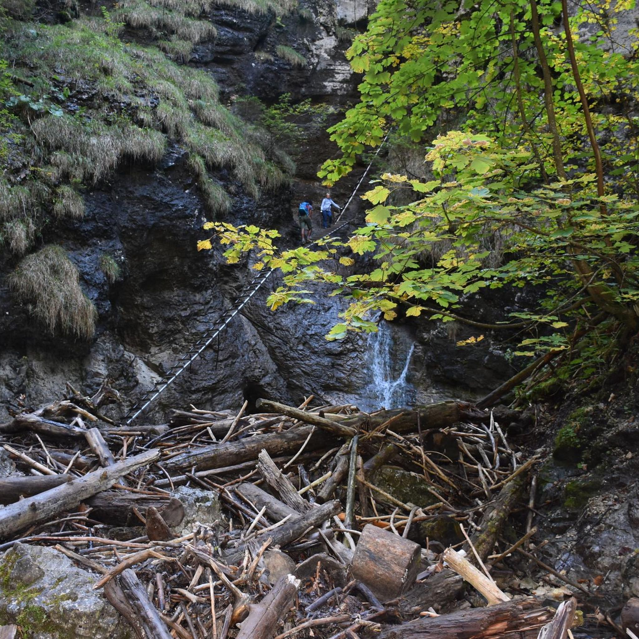
The "waterfall" is the outlet of the artificially created pond - but the iron-red discoloration of the water is interesting
0
0
In summer, however, the view of the Ilmenau is quite restricted by the foliage.
0
0
Here begins a beautiful path along the slope to the Sängershöh and further to Bad Bevensen. In places, however, it is already overgrown!
0
0
Frequently Asked Questions
How many hiking trails are available around Jelmstorf?
There are over 20 hiking trails around Jelmstorf, offering a variety of experiences from easy strolls to more challenging excursions. The komoot community has explored more than 5,000 routes in the area.
What types of terrain can I expect on hikes in Jelmstorf?
Jelmstorf's hiking trails feature diverse landscapes, including tranquil forests, expansive fields, and rolling hills. Many paths follow the scenic Ilmenau River, and the region is also situated near the Drömling Nature Park, providing varied natural environments.
Are there any easy or family-friendly hiking options in Jelmstorf?
Yes, Jelmstorf offers several easy hiking options suitable for families. For example, the Spring by the Ilmenau River – Bench With View of the Ilmenau loop from Edendorf is an easy 5.2 km trail that takes about 1 hour 20 minutes to complete, perfect for a relaxed outing.
What are some notable natural features or landmarks to see while hiking in Jelmstorf?
The Ilmenau River is a central natural feature, with many paths running alongside it. You can also explore the "Jagdberg" forest area for dense woodlands. For specific points of interest, consider visiting the Jadtorfer See Bird Sanctuary or the Megalithic tombs near Altenmedingen.
What is the best time of year to go hiking in Jelmstorf?
The best seasons for outdoor activities, especially hiking in Jelmstorf, are spring and summer when the natural environment is in full bloom. The broader Lüneburg Heath region, which Jelmstorf is part of, is particularly stunning in August and September when the heather blooms, transforming the landscape into vibrant violet hues.
Are there any circular hiking routes available in Jelmstorf?
Yes, many routes in Jelmstorf are designed as loops. A popular moderate circular route is the View of the Ilmenau Valley – Stone Steps to Sängershöh loop from Jelmstorf, which is 16.7 km long and offers scenic views.
What do other hikers say about the trails in Jelmstorf?
The routes in Jelmstorf are highly rated by the komoot community, with an average score of 4.5 stars from over 1300 reviews. Hikers often praise the tranquil ambiance, the well-maintained paths along rivers and through forests, and the varied natural landscapes.
Are there any longer or more challenging hikes in the area?
For those seeking a greater challenge, Jelmstorf offers more difficult routes. The Stone Steps to Sängershöh – View of the Ilmenau Valley loop from Jelmstorf is a difficult 23.8 km trail that takes approximately 6 hours to complete, leading through the Ilmenau Valley.
Can I find places to eat or stay near the hiking trails in Jelmstorf?
While specific cafes or pubs directly on trails are not detailed, Jelmstorf and its surrounding villages offer amenities for hikers. You might find options like Püchert's Trout Farm for dining, and accommodation can be found in the broader Uelzen region.
What are the elevation changes like on Jelmstorf's hiking trails?
The elevation changes in Jelmstorf are generally moderate, reflecting the region's rolling hills. For instance, a moderate route like the Rest Area on the Ilmenau – St. George's Church, Wichmannsburg loop from Jelmstorf involves an elevation gain of around 65 meters.
Are there any historical sites accessible via hiking trails?
Yes, some trails connect to historical landmarks. The difficult St. George's Church, Wichmannsburg – Medingen Abbey loop from Jelmstorf is a 23.6 km path that links historical sites and features varied terrain, offering a cultural dimension to your hike.
Most popular routes around Jelmstorf
Most popular attractions around Jelmstorf

Get inspired with the komoot mobile app


Explore more
Browse the best Hikes in other regions.
