The best gravel rides around Roßleithen
3.8
(11)
102
riders
12
rides
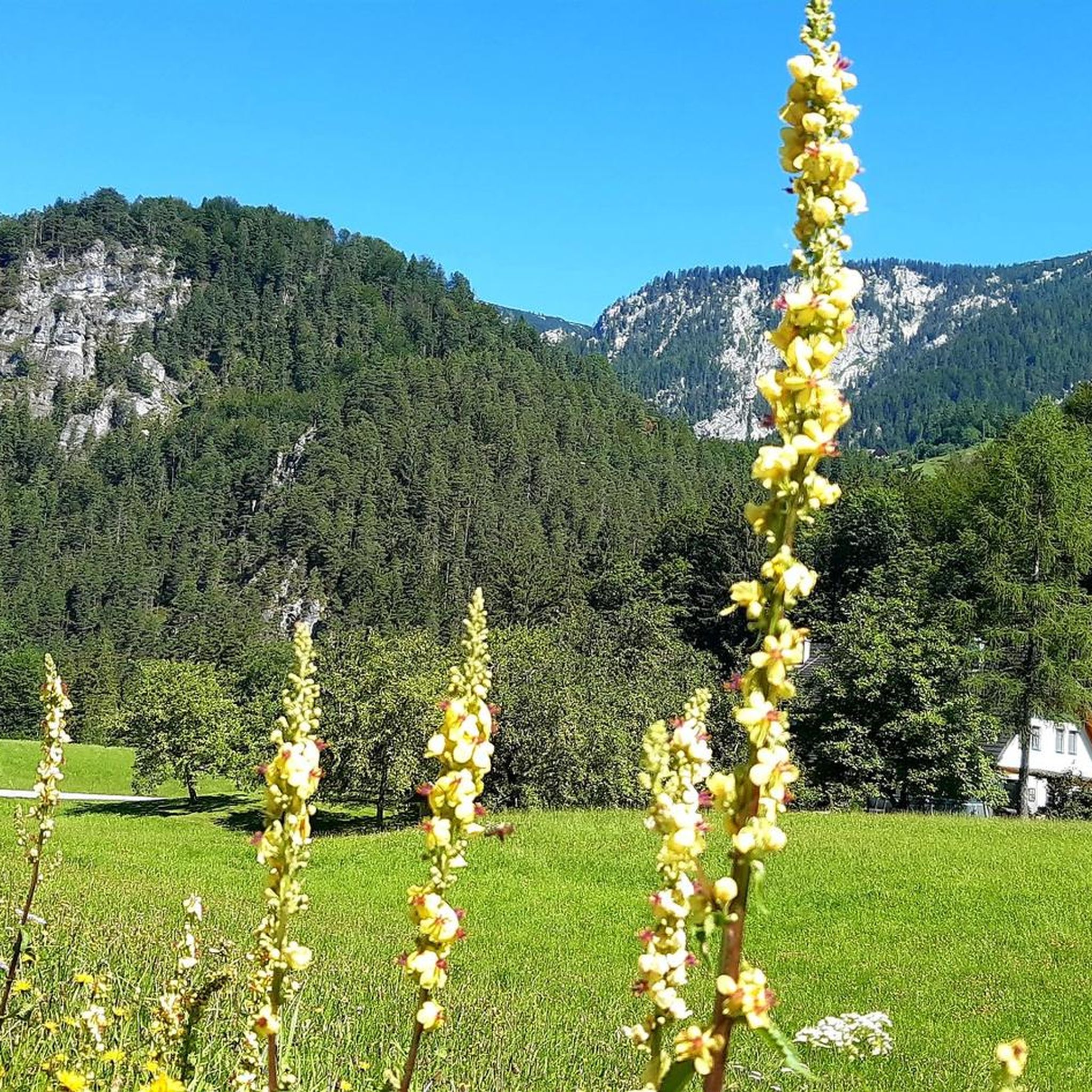
Gravel biking around Roßleithen offers diverse terrain in the heart of the Garstner valley, Upper Austria. The region is characterized by its position between the Sengsengebirge mountains and the Warscheneckstock, providing a mix of gentle hills and more demanding mountain paths. Riders can explore extensive forests, alpine meadows, and karstified landscapes, with routes often following clear mountain streams. This varied topography makes Roßleithen suitable for a range of gravel biking experiences.
Best gravel bike trails around Roßleithen
- The most popular…
Last updated: July 2, 2026
8
riders
44.6km
04:03
1,420m
1,420m
Hard gravel ride. Very good fitness required. Mostly paved surfaces. Suitable for all skill levels.
4.5
(2)
21
riders
82.6km
05:16
1,280m
1,280m
Hard gravel ride. Very good fitness required. Mostly paved surfaces. Suitable for all skill levels.

Sign up for free
4
riders
38.7km
03:34
1,330m
1,330m
Hard gravel ride. Very good fitness required. Mostly paved surfaces. Suitable for all skill levels.
4.0
(3)
19
riders
22.4km
01:19
200m
200m
Moderate gravel ride. Good fitness required. Mostly paved surfaces. Suitable for all skill levels.
5.0
(1)
8
riders
45.2km
03:57
1,360m
1,360m
Hard gravel ride. Very good fitness required. Mostly paved surfaces. Suitable for all skill levels.
Get access to more routes and recommendations from other explorers.
Sign up for free
Already have an account?
Our route recommendations are based on thousands of hikes, rides, and runs completed by other people on komoot.
Start today with a free account
Your next adventure awaits.
Login or Signup
Popular around Roßleithen
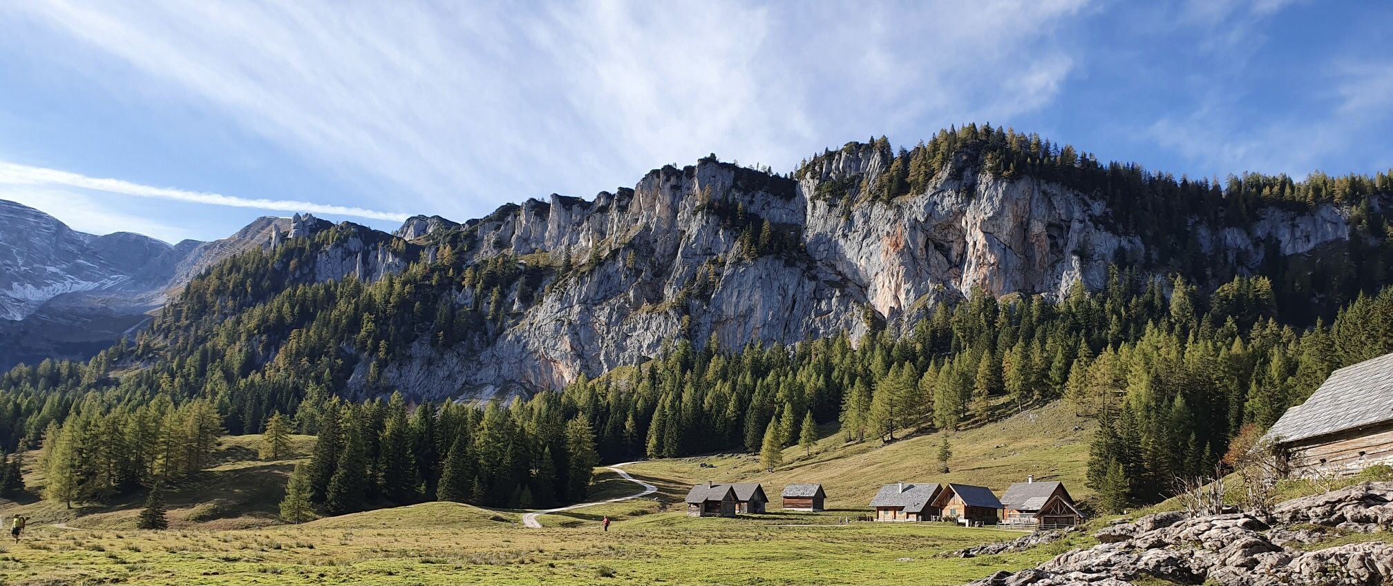
Austria's Kalkalpen Trail – Giant rocks & alpine meadows
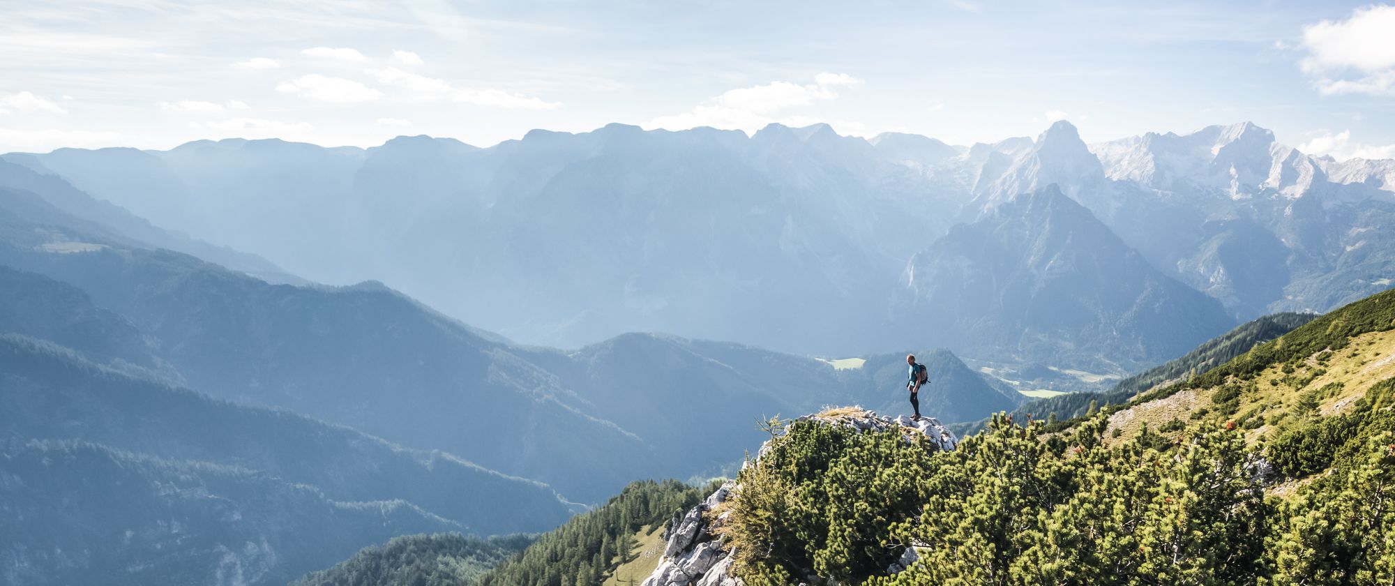
From a family hike to a summit climb – hiking in Pyhrn-Priel
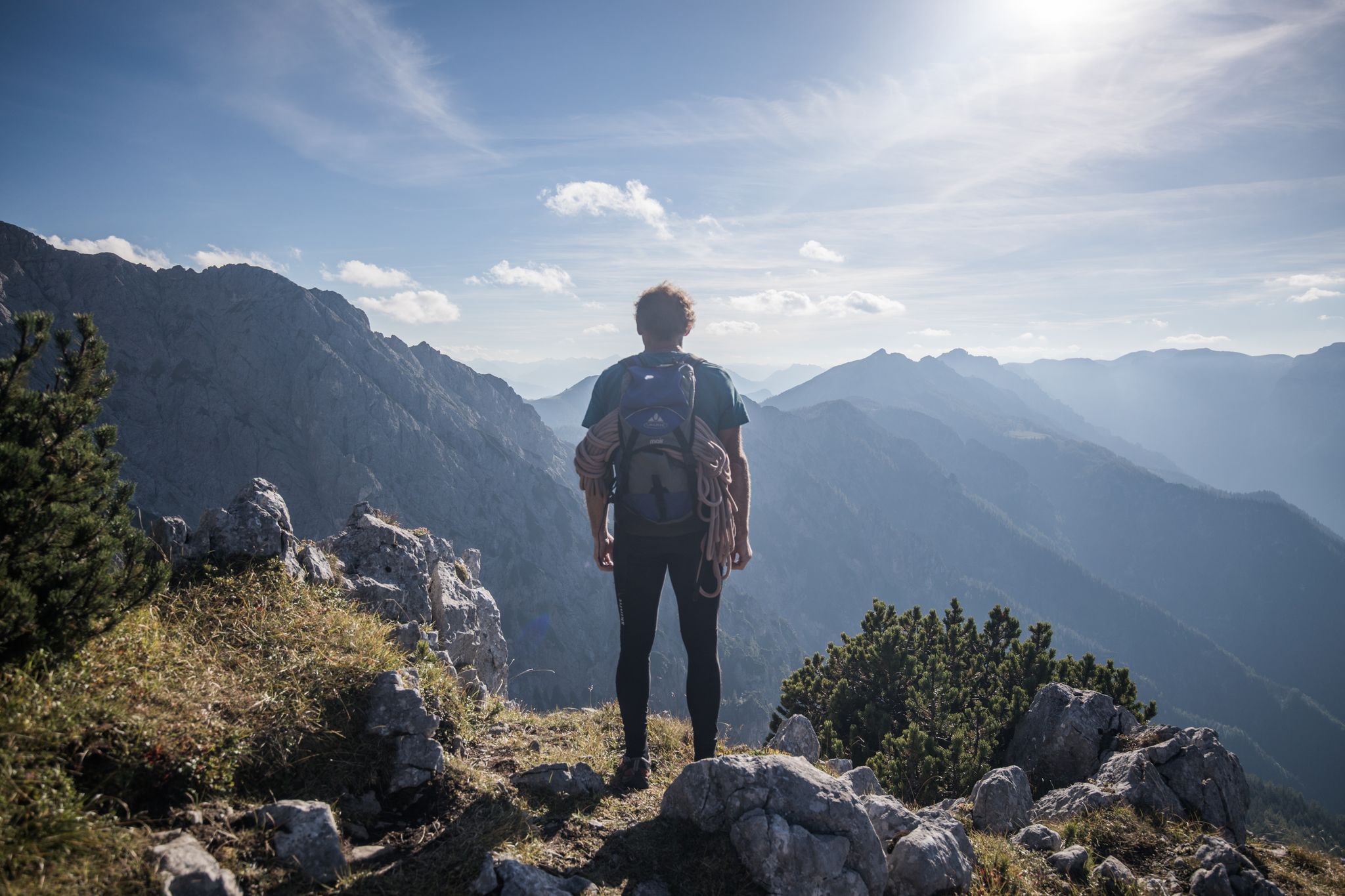
From a family hike to a via ferrata – hiking in Pyhrn-Priel
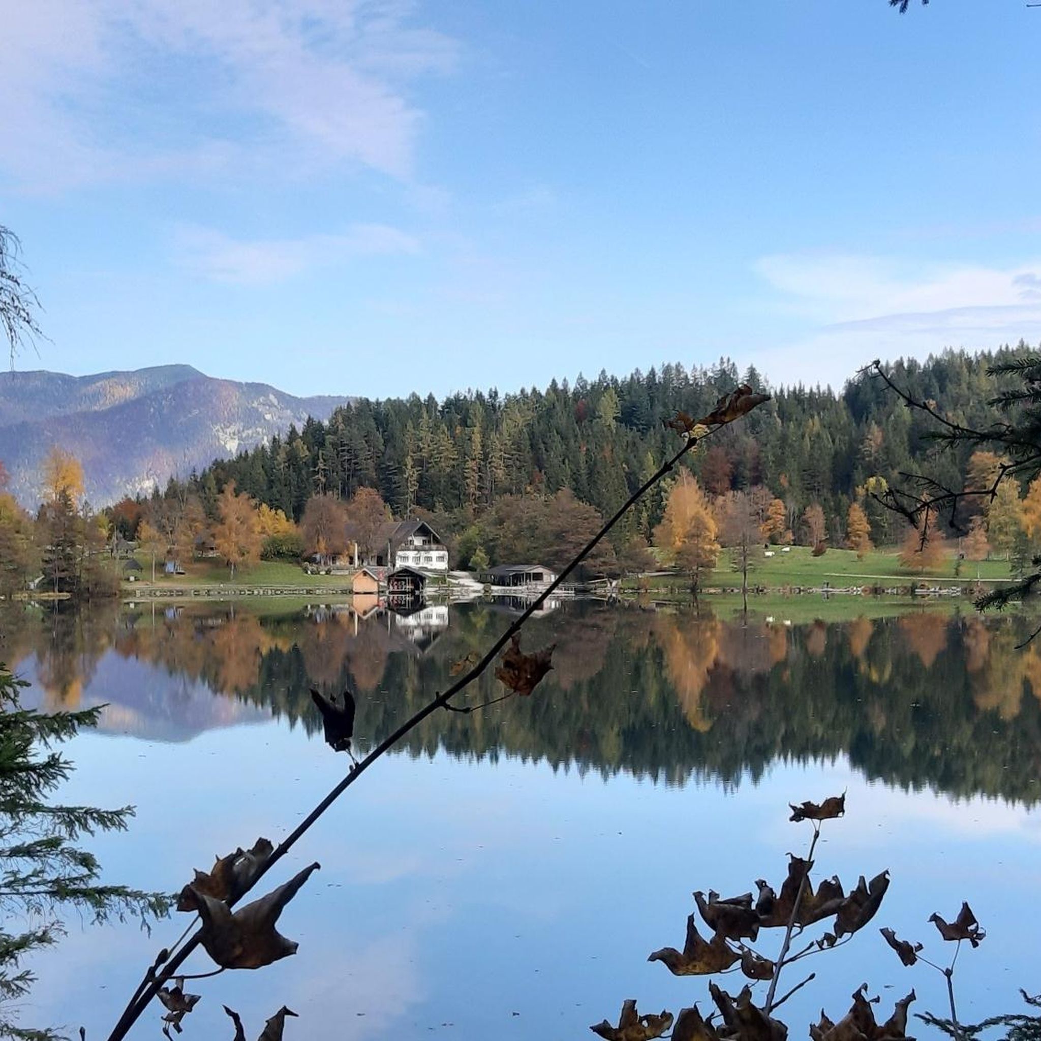
Hiking around Roßleithen
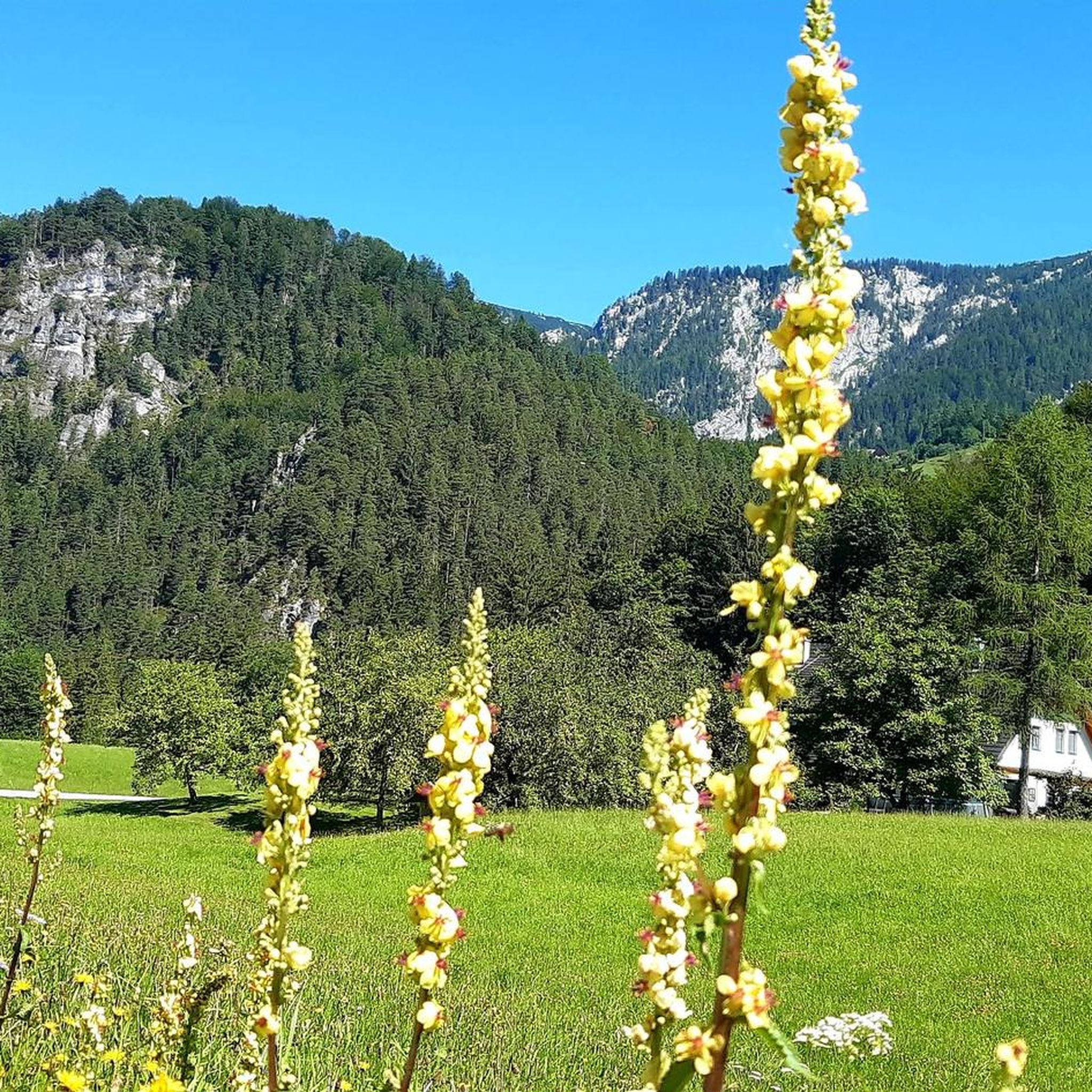
MTB Trails around Roßleithen
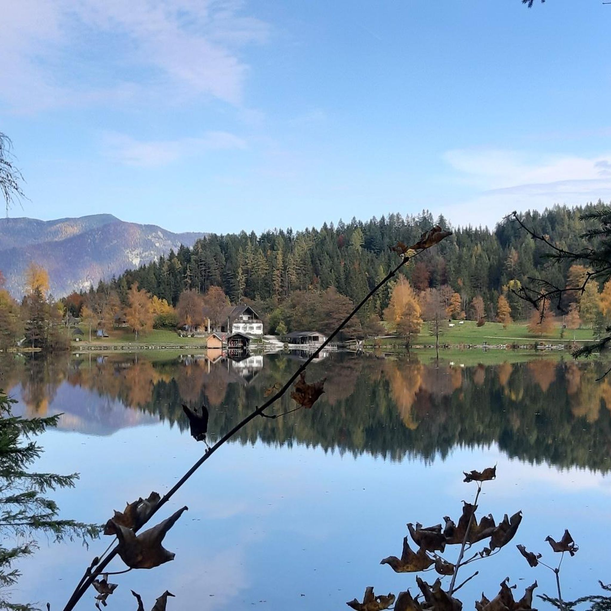
Cycling around Roßleithen
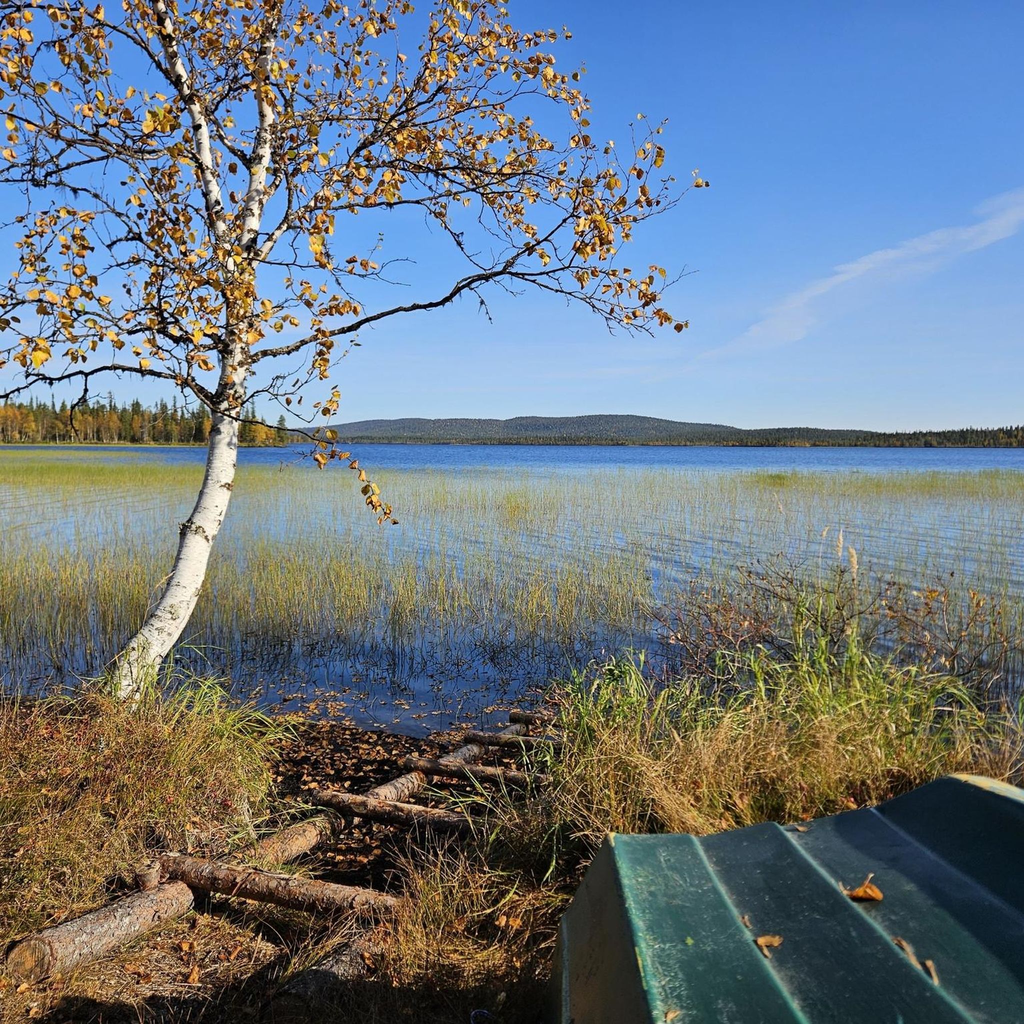
Mountain Hikes around Roßleithen
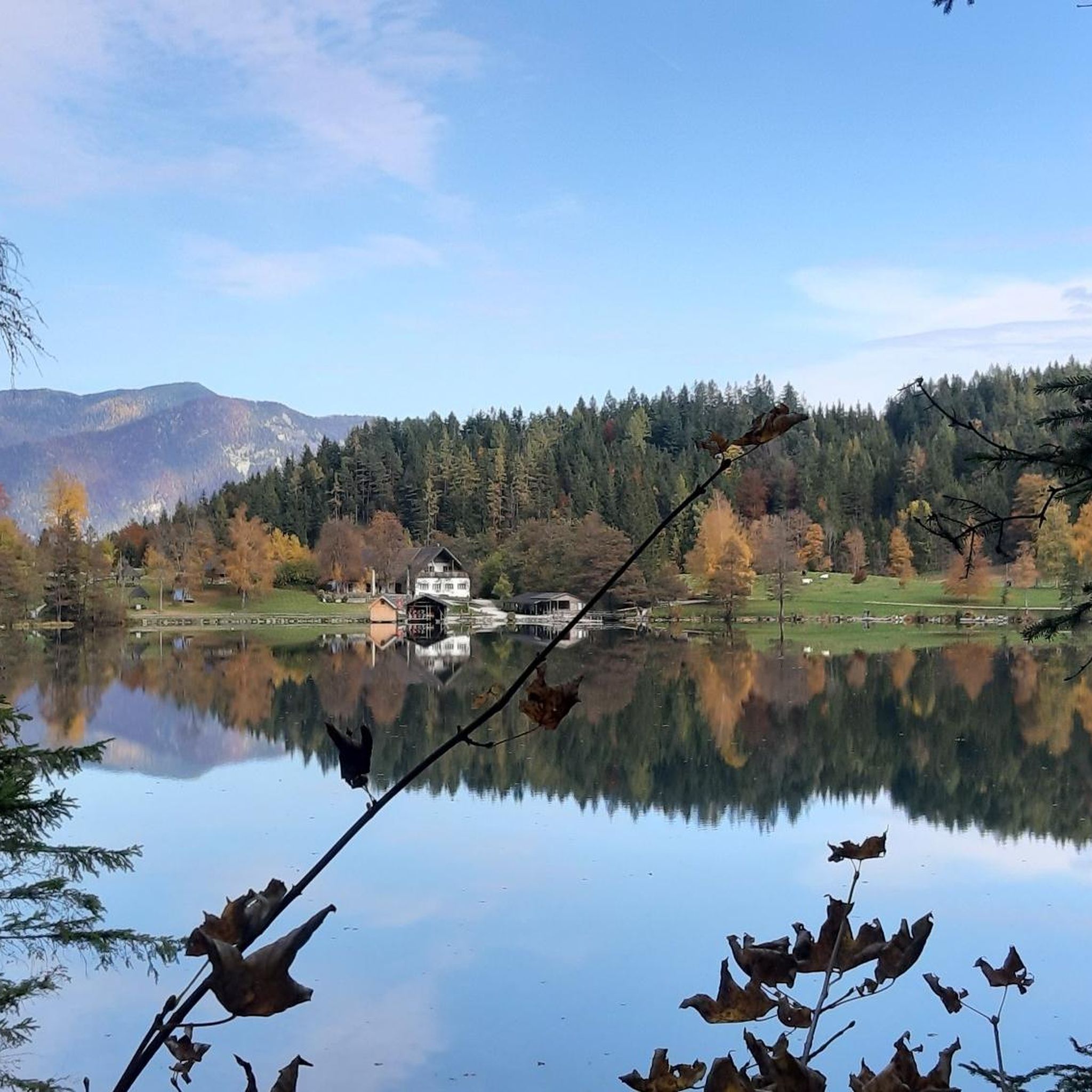
Road Cycling Routes around Roßleithen
Running Trails around Roßleithen


Tips from the Community


A beautiful and very well-maintained historic town center. It has everything you need - a few shops, restaurants, and cafes.
0
0


The **Kalkalpen National Park Cycle Route (R31)** is a beautiful bike tour that leads through the impressive landscape of the Kalkalpen National Park. Here are some interesting aspects of this cycle route: 1. **Route**: - You start in **St. Pankraz** and cycle through the idyllic **Rettenbach Valley** to **Windischgarsten**. - Along the way, you pass through **Roßleithen**, giving you the opportunity to enjoy the picturesque scenery. 2. **Length and Duration**: - The entire route is **53.3 km** and takes approximately **3 hours and 31 minutes** to complete, depending on your fitness level and breaks. 3. **Landscape**: - The cycle route leads through a **diverse landscape**, ranging from the Alpine foothills to the mountains of the **Pyhrn-Priel Region**. - You can enjoy the breathtaking views of the surrounding mountains and valleys. 4. **Difficulty**: - The cycle path is considered a **challenging bike tour**, so good physical condition is recommended. 5. **Activities**: - In addition to cycling, you can also explore nature, hike, or simply enjoy the peace and beauty of the surroundings. The Kalkalpen National Park Cycle Path is therefore an ideal destination for cyclists and nature lovers who want to enjoy the stunning scenery and fresh air.
0
0

I tested a short section today. It goes up and down and is quite strenuous.
0
0

Windischgarsten is a gem! Take a relaxing walk.
0
0

Old Summit Cross of the Grosser Priel At the end of June 2008, the 138-year-old, 8-meter-high, 2.2-ton summit cross of the 2,515-meter-high Grosser Priel was bent by a thunderstorm. This summit cross was restored and laid out for public viewing in the church park, opposite the parish hall, next to the bandstand. Later, at the suggestion of the owner, HRH Carl Duke of Württemberg, it was re-erected. On August 17, 2009, a new 1.8-ton summit cross was flown to the summit by helicopter.
3
0
Frequently Asked Questions
What kind of terrain can I expect on gravel bike trails around Roßleithen?
Gravel biking in Roßleithen offers a diverse landscape, ranging from the gentle hills of the Garstner valley to the more rugged, karstified formations of the Sengsengebirge mountains. You'll encounter extensive forests, green alpine meadows, and clear mountain streams. Many routes traverse well-maintained forest paths and tranquil rural roads, providing a varied experience suitable for gravel bikes.
Are there gravel bike routes suitable for beginners in Roßleithen?
Yes, Roßleithen offers options for various skill levels. While many routes involve significant elevation, there are at least 3 easy tours available. These typically follow more gentle paths through the valley or around scenic spots, allowing beginners to enjoy the beautiful surroundings without overly challenging ascents.
What are some challenging gravel bike routes for experienced riders?
For experienced riders seeking a challenge, Roßleithen has 11 difficult routes. One notable option is the Steyersteg Trail – Bodinggraben loop from Spital am Pyhrn. This extensive 82.6 km route features over 1,280 meters of elevation gain, traversing demanding forest paths and offering panoramic views of the surrounding peaks.
What natural features or landmarks can I see along the gravel bike trails?
Many gravel routes in Roßleithen pass by impressive natural features. You can explore the powerful Pießling Spring (karst spring), where up to 2,000 liters of water per second emerge. The serene Schiederweiher lake is another picturesque spot, often described as one of Austria's most beautiful lakes. Additionally, routes may offer views of the Hoher Nock, the highest peak of the Sengsengebirge mountains.
Are there any routes that pass by waterfalls?
Yes, the region around Roßleithen is known for its beautiful waterfalls. While specific gravel routes may vary, you can find trails that lead near or offer views of cascades like the Schleierfall Waterfall or the impressive Stromboding Waterfall. The Pießling Spring itself features a roaring waterfall as the torrent emerges.
What do other gravel bikers enjoy the most about gravel biking in Roßleithen?
The komoot community highly rates the gravel biking experience in Roßleithen, with an average score of 4.2 stars from over 10 reviews. Riders often praise the varied terrain, the stunning natural beauty of the Kalkalpen National Park, and the well-constructed tracks that allow for a true 'crossover experience' between mountain biking and road cycling.
Are there family-friendly gravel bike trails in Roßleithen?
Yes, there are several options suitable for families. Routes that stick to the Garstner valley or circular paths around lakes like Gleinkersee offer gentler gradients and scenic views, perfect for a relaxed family outing. The Polsterstüberl Inn – Schiederweiher loop from Hinterstoder is a moderate 22.4 km trail through picturesque valley landscapes, often completed in about 1 hour 19 minutes, making it a good choice for families.
Can I bring my dog on the gravel bike trails?
Many forest roads and designated paths in the Roßleithen region and Kalkalpen National Park are generally dog-friendly, provided dogs are kept on a leash to protect wildlife. It's always advisable to check local regulations for specific trails, especially within the National Park, and ensure your dog is accustomed to longer rides and varied terrain.
What is the best time of year for gravel biking in Roßleithen?
The best time for gravel biking in Roßleithen is typically from spring to autumn. Spring offers lush green landscapes and blooming alpine meadows, while summer provides warm weather for exploring. Autumn brings vibrant foliage and crisp air, ideal for longer rides. Winter cycling can be challenging due to snow and ice, especially on higher elevation routes.
Are there circular gravel bike routes available?
Yes, many of the gravel bike routes in Roßleithen are designed as loops, allowing you to start and end at the same point. For example, the Hengstpass – Windischgarsten loop from Windischgarsten is a popular 44.6 km circular trail. The View of the Mountains – Descent through the forest loop from Roßleithen also offers a challenging circular experience.
Where can I find parking for gravel biking trailheads in Roßleithen?
Parking is generally available at common starting points for hiking and cycling trails in and around Roßleithen and nearby communities like Windischgarsten or Spital am Pyhrn. Look for designated parking areas near trailheads or local attractions. Specific parking information is often provided on individual route descriptions on komoot.
Is it possible to reach Roßleithen's gravel bike trails by public transport?
Roßleithen and the surrounding Pyhrn-Priel region are accessible by public transport, primarily by bus services connecting to train stations in larger towns. You can plan your journey to reach key starting points for gravel bike tours, though some more remote trailheads might require a short ride from the nearest bus stop. Check local bus schedules for the most up-to-date information.
Most popular routes around Roßleithen
Most popular attractions around Roßleithen

Get inspired with the komoot mobile app


Explore more
Browse the best Gravel rides in other regions.
