The best gravel rides around Inzersdorf im Kremstal
29
riders
6
rides
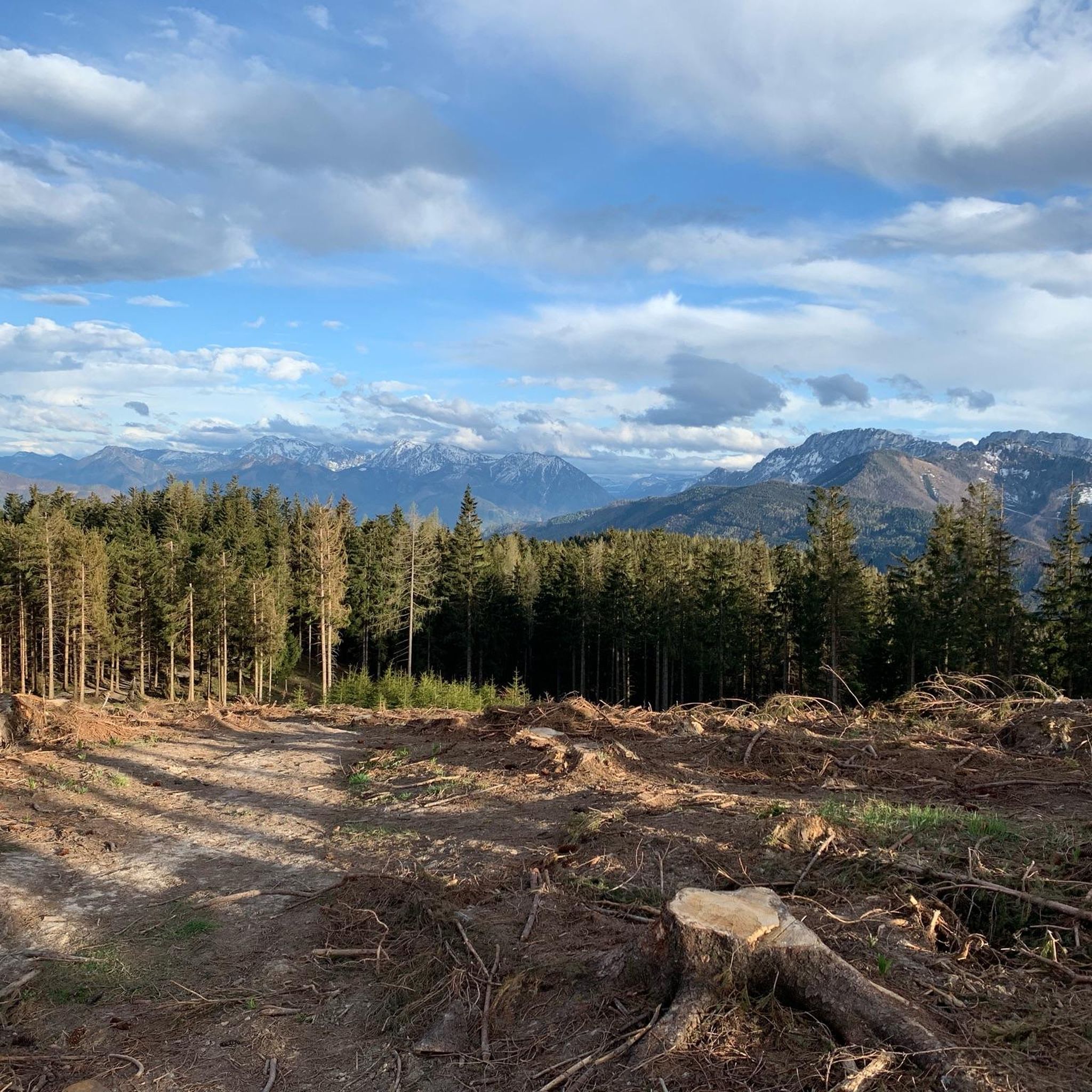
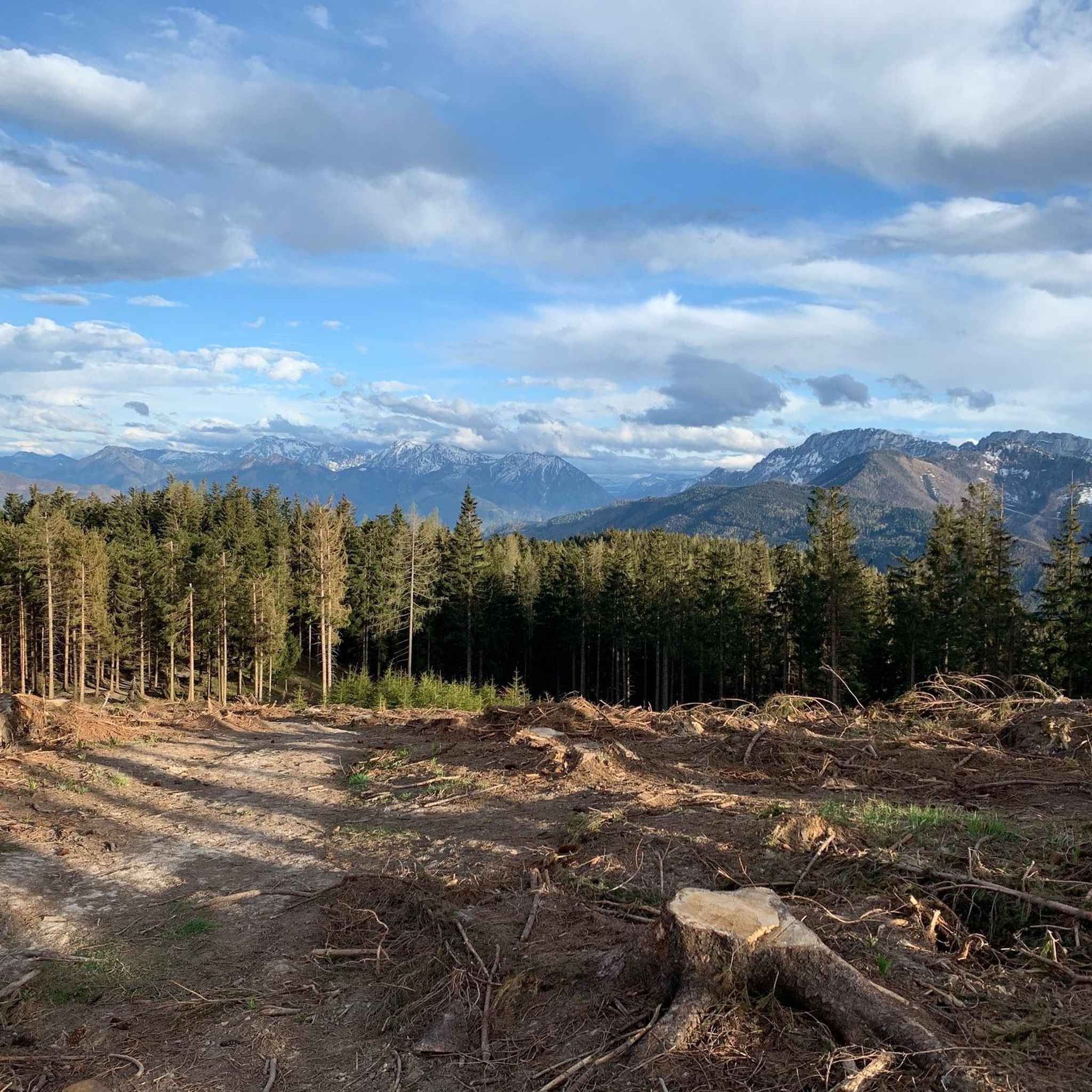
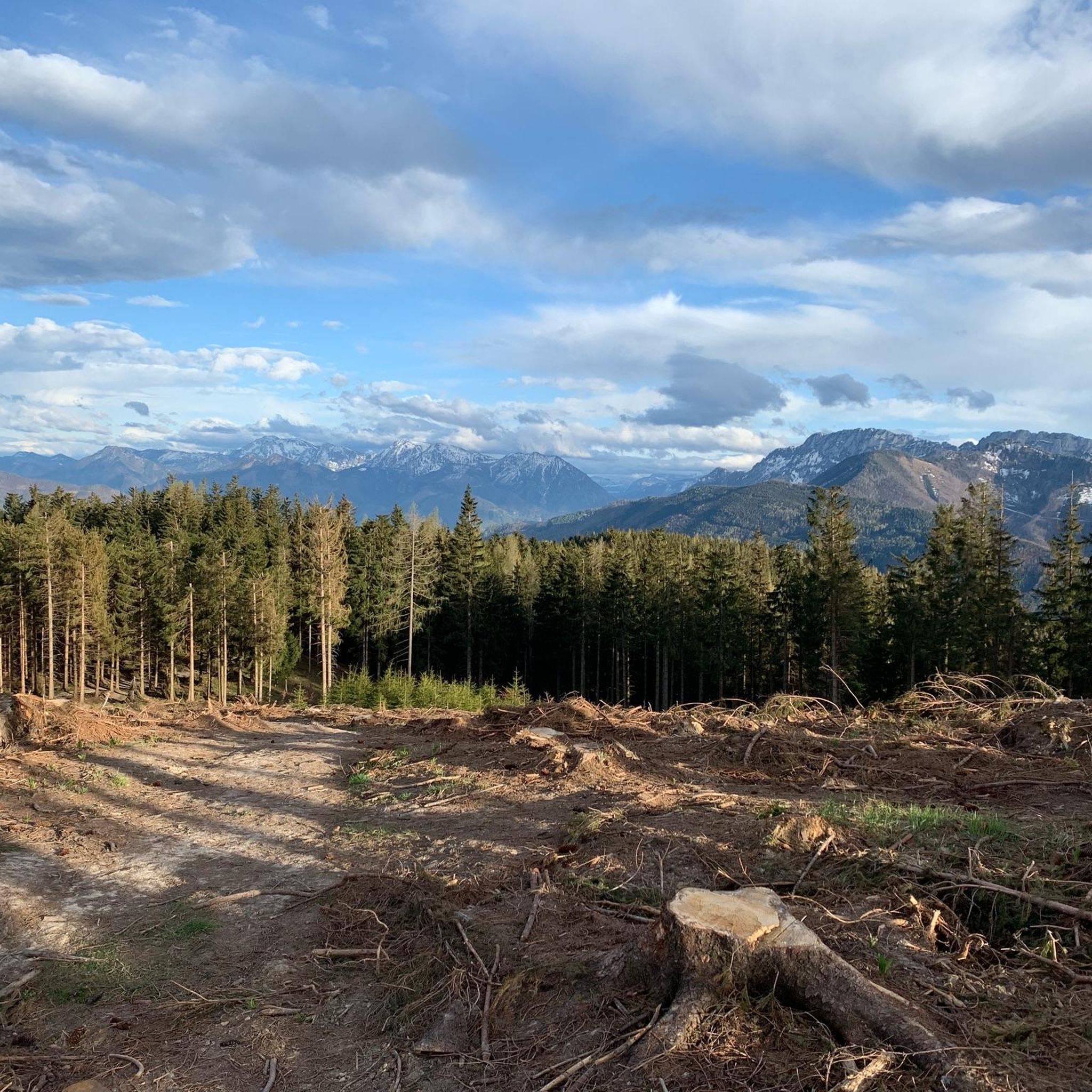
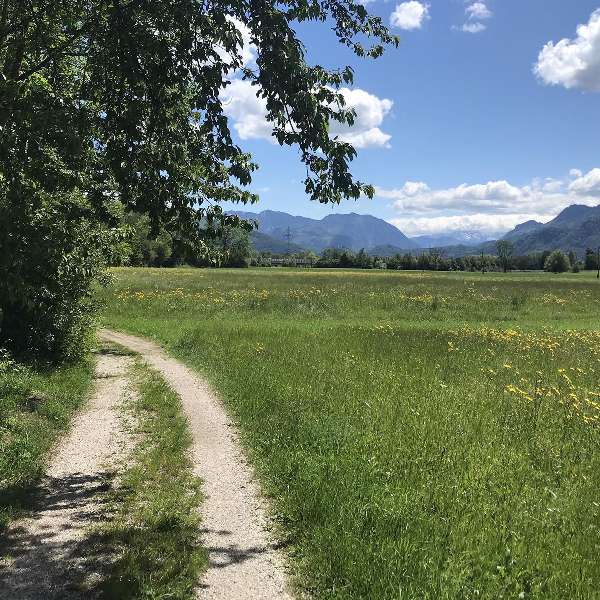
Gravel biking around Inzersdorf im Kremstal offers diverse terrain at the foot of the Sengsengebirge mountains, characterized by rolling hills and varied surfaces. The region features a mix of quiet roads, cycleways, and undefined paths, providing an engaging environment for off-tarmac riding. Natural features like the Kremstal Valley, forests, and water bodies such as the Almsee and Klauser Reservoir add to the scenic appeal. This area provides a compelling backdrop for gravel biking, moving away from congested main roads.
Best…
Last updated: October 18, 2026
6
riders
Hard gravel ride. Very good fitness required. Mostly paved surfaces. Suitable for all skill levels.
9
riders
90.4km
05:49
1,190m
1,190m
Hard gravel ride. Very good fitness required. Mostly paved surfaces. Suitable for all skill levels.

4
riders
14.3km
01:12
460m
460m
Hard gravel ride. Very good fitness required. Mostly paved surfaces. Suitable for all skill levels.
5
riders
44.2km
02:36
270m
280m
Moderate gravel ride. Good fitness required. Mostly paved surfaces. Suitable for all skill levels.
2
riders
24.0km
01:53
590m
590m
Hard gravel ride. Very good fitness required. Mostly paved surfaces. Suitable for all skill levels.
Our route recommendations are based on thousands of hikes, rides, and runs completed by other people on komoot.
Start today with a free account
Your next adventure awaits.

Tips from the Community

The forest road towards Laudachsee is very stony and not easy to ride. Good thing we didn't have to go downhill on this road!
0
0

Surprisingly many people, but very few walk the loop.
0
0

Pettenbach is a municipality and not a stream (not a body of water)
0
0

And a year later we are back here and making an enjoyable stop.
0
0

Currently, the upper section between the Schrattenbach turn-off and Laudachsee is rather "rough" - mostly firm ground, but with many coarser stones already out - concentration is required, especially on the descent.
0
0

beautifully laid out and well signposted cycle path
0
0
always a beautiful sight towards the Traunstein
0
0
A view that is hard to beat in terms of landscape at the end of the Almtal valley
0
0
Frequently Asked Questions
How many gravel bike trails are available in Inzersdorf im Kremstal?
There are 12 gravel bike trails around Inzersdorf im Kremstal, offering a mix of moderate and difficult options. Specifically, you'll find 5 moderate routes and 7 difficult routes to explore.
What kind of terrain can I expect on the gravel bike trails in Inzersdorf im Kremstal?
The gravel bike trails in Inzersdorf im Kremstal feature diverse terrain, from quiet roads and dedicated cycleways to undefined paths. You'll encounter rolling hills, offering both climbs and descents, set against the backdrop of the Sengsengebirge mountains. The varied surfaces make for an engaging off-tarmac riding experience.
Are there any family-friendly gravel bike routes in the area?
While the guide primarily features moderate and difficult routes, the region's general network of quiet roads and cycleways, especially along flatter river sections, can be suitable for families. For a scenic ride that might offer gentler sections, consider exploring areas around the Alm River, though specific family-friendly gravel routes are not detailed in this guide.
Are there any circular gravel bike routes available?
Yes, many of the gravel routes in Inzersdorf im Kremstal are designed as loops. For example, you can enjoy the Wooden Bridge Over the Alm – Schrattenbach forest road loop from Scharnstein-Mühldorf, which is a challenging 18.7-mile (30.2 km) ride. Another option is the extensive Almsee – Almsee loop from Voitsdorf, covering 61.7 miles (99.3 km) with significant climbing.
What natural attractions can I see along the gravel bike trails?
The region is rich in natural beauty. You can encounter diverse water features like the Klauser Reservoir, which is part of the Klaus Dam – Klauser Reservoir loop from Wartberg an der Krems. The area also boasts canyons, waterfalls, and lakes, adding to the scenic appeal of your ride.
Are there any historical landmarks or castles near the gravel routes?
Yes, the region offers several historical sites. You might pass by or near impressive structures such as Klaus Castle, Burg Altpernstein, or the Ruins of Scharnstein Castle. These provide interesting cultural stops during your gravel biking adventure.
What do other gravel bikers enjoy most about riding in Inzersdorf im Kremstal?
The gravel biking experience in Inzersdorf im Kremstal is highly rated by the komoot community, with an average score of 4.2 stars from 6 reviews. Riders often praise the diverse terrain, the scenic backdrop of the Sengsengebirge mountains, and the variety of routes that move away from congested main roads, offering a true off-tarmac adventure.
Are there any longer distance gravel cycling routes for experienced riders?
Absolutely. For experienced riders seeking a longer challenge, the Almsee – Almsee loop from Voitsdorf is a difficult route spanning 61.7 miles (99.3 km) with substantial elevation gain, offering an extensive ride around the beautiful Almsee lake.
What is the best time of year for gravel biking in Inzersdorf im Kremstal?
While specific seasonal details are not provided, the region's diverse topography and natural features suggest that spring through autumn would offer the most pleasant conditions for gravel biking. During these seasons, you can best enjoy the rolling hills, varied surfaces, and natural attractions like canyons and lakes.
Are there any routes that offer views of the Austrian Alps?
Yes, the View of the Austrian Alps – View from Grillenparz loop from Schlierbach is a difficult 8.9-mile (14.3 km) route specifically highlighting panoramic views. This trail offers a chance to experience the majestic scenery of the Alps while gravel biking.
Can I find routes that follow rivers or offer waterside riding?
Yes, the area features several routes that incorporate water features. The Alm River Scenic Path – Rest Area on the Alm River loop from Einsiedling Rittmühle is a moderate 27.3-mile (43.9 km) route that follows the Alm River, providing a picturesque waterside experience.
Most popular routes around Inzersdorf im Kremstal
Most popular attractions around Inzersdorf im Kremstal

Get inspired with the komoot mobile app


Explore more
Browse the best Gravel rides in other regions.
