The best gravel rides around Leopoldschlag
3.0
(1)
14
riders
2
rides
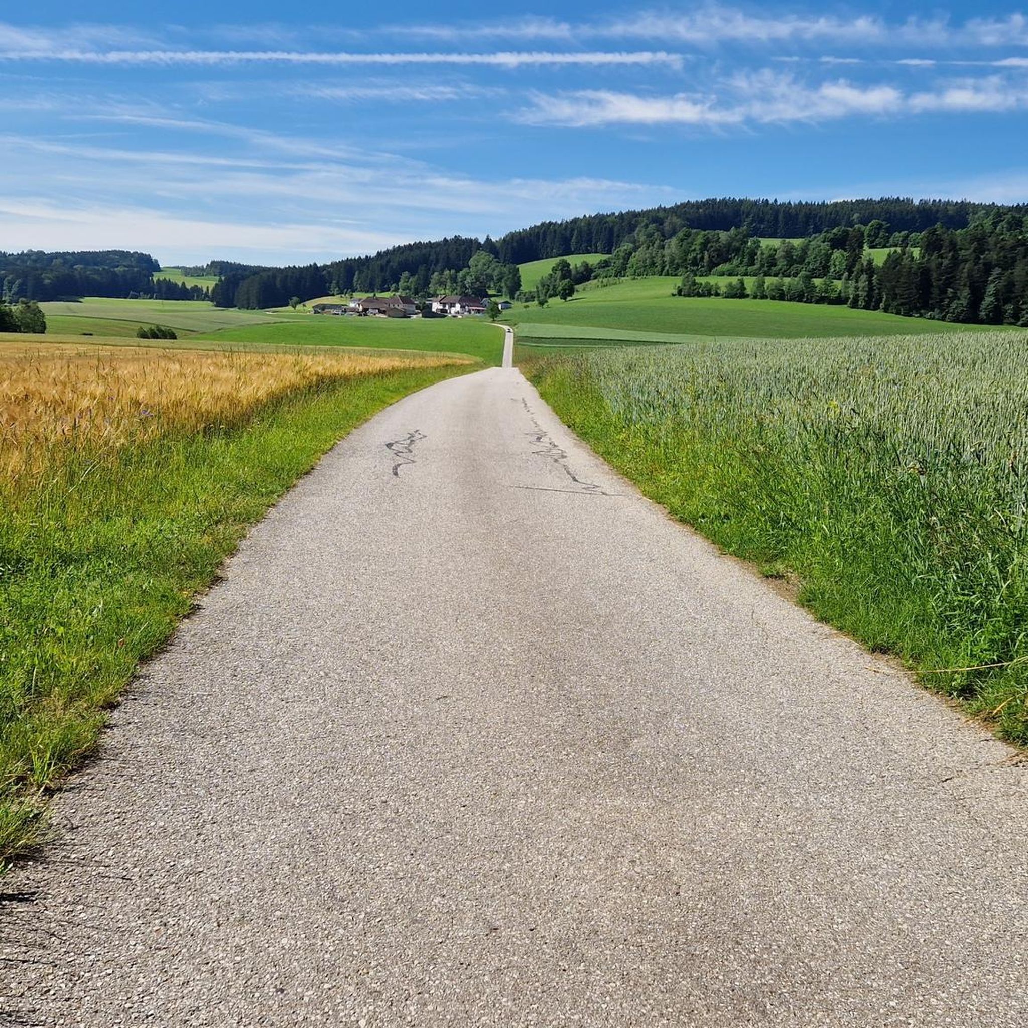
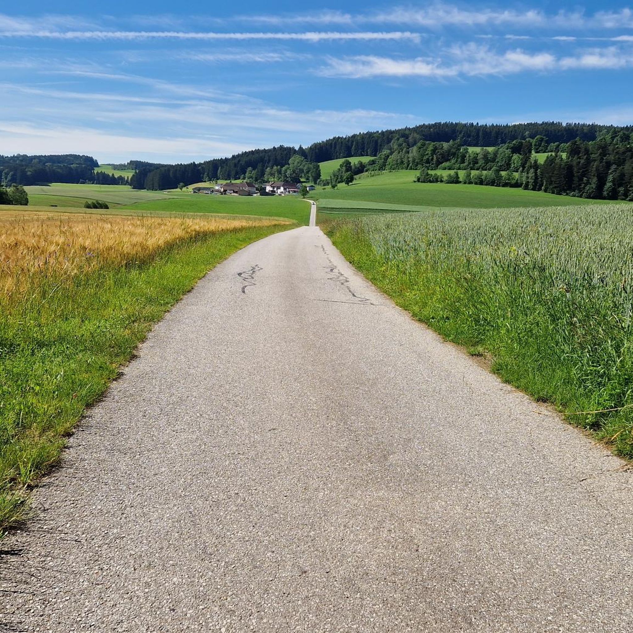
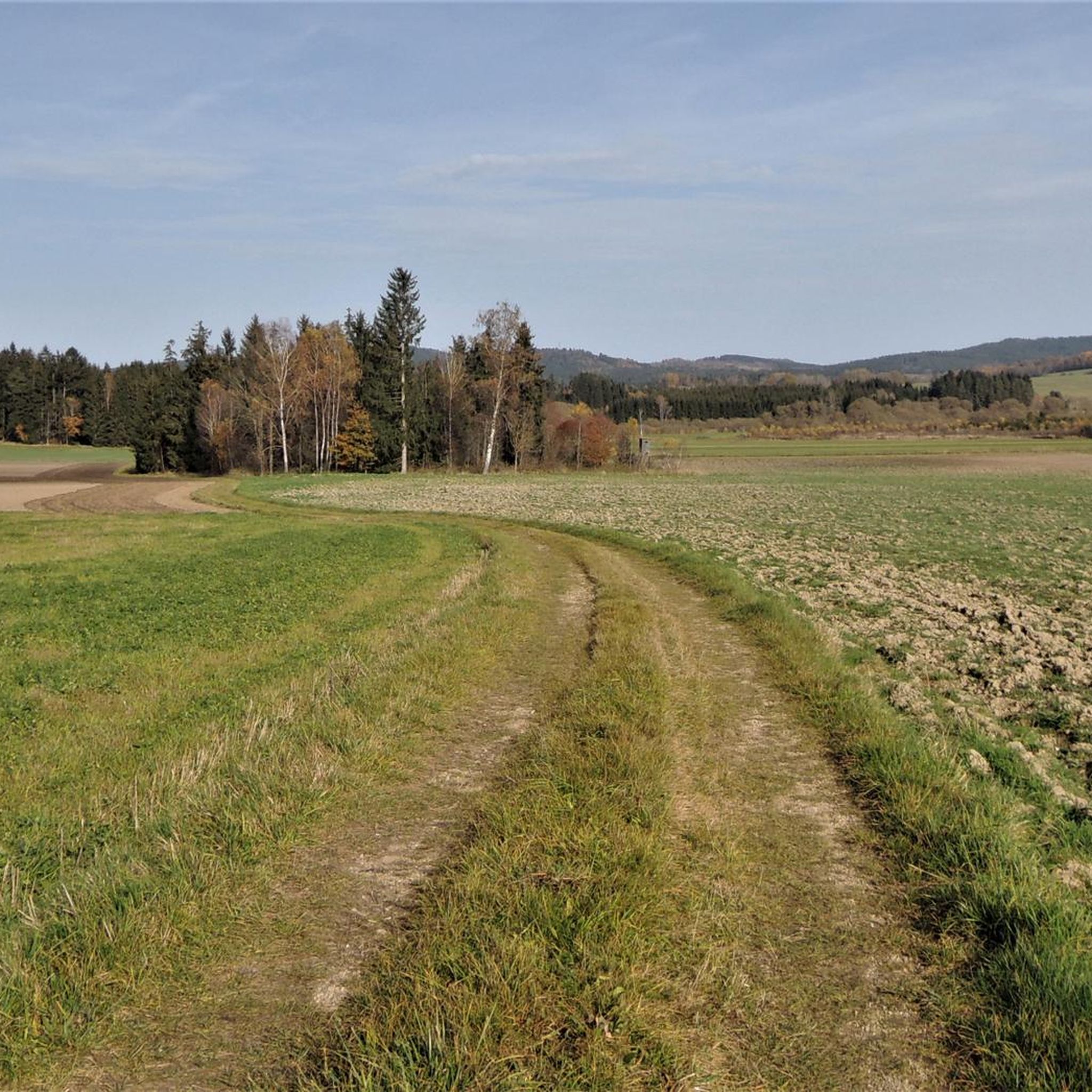
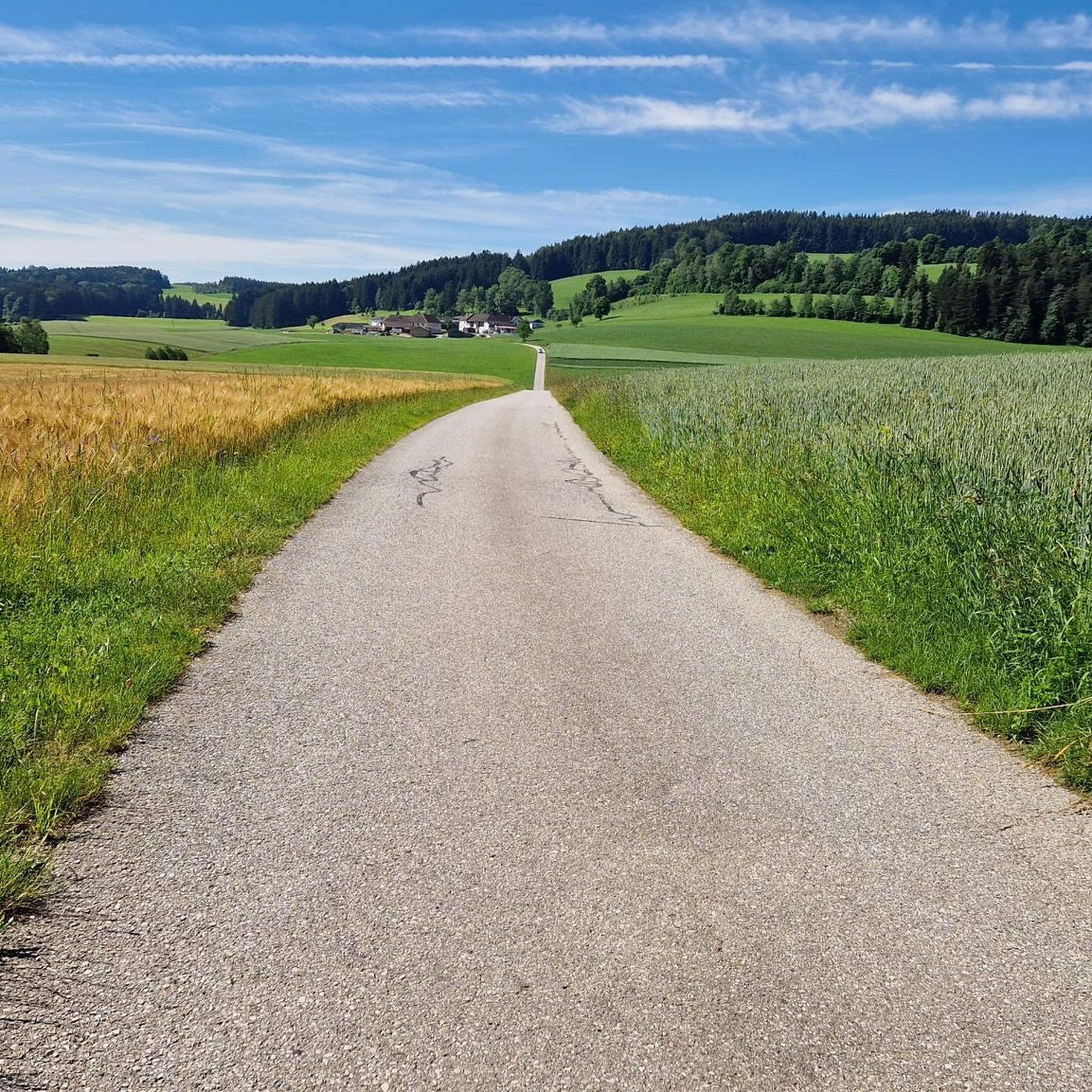
Gravel biking around Leopoldschlag offers diverse landscapes characterized by rolling hills and dense forests. The region features a mix of paved and unpaved surfaces, providing varied terrain for gravel cyclists. These routes traverse scenic backdrops, often including challenging segments with elevation gains. The area's natural environment provides an engaging setting for outdoor activities.
Best gravel bike trails around Leopoldschlag
- The most popular gravel bike trail is Bad Leonfelden Market Square – Franz Stelzhamer Monument loop from Reichenthal, an 11.6…
Last updated: August 26, 2026
1
riders
Moderate gravel ride. Good fitness required. Mostly paved surfaces. Suitable for all skill levels.
3.0
(1)
4
riders
48.0km
03:34
790m
790m
Hard gravel ride. Very good fitness required. Mostly paved surfaces. Suitable for all skill levels.

Sign up for free
4
riders
23.1km
01:39
330m
330m
Moderate gravel ride. Good fitness required. Mostly paved surfaces. Suitable for all skill levels.
2
riders
48.4km
03:17
870m
870m
Hard gravel ride. Very good fitness required. Mostly paved surfaces. Suitable for all skill levels.
Our route recommendations are based on thousands of hikes, rides, and runs completed by other people on komoot.
Start today with a free account
Your next adventure awaits.
Login or Signup

Other adventures around Leopoldschlag

Tips from the Community


The town hall stands at the western end of the main square, northeast of the parish church in the town of Bad Leonfelden in the Mühlviertel region.
0
0

According to historical plaques, the ramparts were used three times: during the Thirty Years' War, during the wars against the Turks, and during an outbreak of the plague.
1
0

It points to a geological condition whereby the Rodl flows into the Danube and this in turn into the Black Sea, while on the other hand the Granitzbach flows into the Vltava, Elbe and North Sea.
6
0
The Schwedenschanze was built during the Thirty Years' War to protect against the invasion of the Swedish army from the north
4
0
Small border crossing for pedestrians and cyclists
6
0

Remnants of the Thirty Years' War
0
0

The old town with its small alleys, the beautiful town square and the castle still has a historic flair. The gardens in the surrounding moat are also very beautiful.
0
0
Frequently Asked Questions
How many gravel bike trails are available around Leopoldschlag?
There are currently 10 gravel bike routes available around Leopoldschlag on komoot. These routes offer a variety of experiences through the region's rolling hills and dense forests.
What kind of terrain can I expect on gravel bike trails in Leopoldschlag?
The gravel bike trails around Leopoldschlag feature a diverse mix of paved and unpaved surfaces. You can expect to encounter rolling hills and dense forests, providing both scenic beauty and challenging segments with elevation gains.
Are there any family-friendly gravel bike routes in the Leopoldschlag area?
While many routes in the immediate Leopoldschlag area are rated as difficult, some nearby trails offer more moderate options. For example, the Bad Leonfelden Market Square – Franz Stelzhamer Monument loop from Reichenthal is a moderate 18.7 km route that explores the area around the market square, which might be suitable for families with some gravel biking experience.
What are some notable natural features or landmarks I might see on a gravel bike tour?
Leopoldschlag is rich in natural and historical landmarks. You might encounter the unique Wettershuttle Sculpture at the European Watershed, Windhaag, which marks the continental divide. The region is also characterized by the scenic Feldaist Stream in the Thury Valley, offering picturesque views along its course.
Are there any circular gravel bike routes available?
Yes, many of the gravel bike routes around Leopoldschlag are designed as loops. For instance, the View of Mühlviertel – Lasberg Reservoir loop from Summerau is a difficult 48 km circular path offering expansive views, and the Thurytal Forest Trail – Freistadt Castle loop from Freistadt is a moderate 22.7 km loop through the forest.
What do other gravel bikers say about the trails in Leopoldschlag?
The gravel biking routes around Leopoldschlag are highly rated by the komoot community, with an average score of 4.0 stars from over 3 reviews. More than 25 gravel bikers have already explored the varied terrain, often praising the diverse landscapes and challenging segments.
Are there any places to stop for refreshments or rest along the gravel routes?
Yes, there are a few options for refreshments and rest. You might find the Freistadt Brewery and Brewery Inn near some routes, offering a chance to refuel. Additionally, there's a Mühlenweg Rest Area Near Allhut and a Rest Area at the Czech Border (Mühlviertel), providing convenient spots to pause.
What is the best time of year to go gravel biking in Leopoldschlag?
Leopoldschlag's diverse terrain of rolling hills and dense forests makes it suitable for gravel biking across multiple seasons. Spring and autumn generally offer pleasant temperatures and vibrant scenery. However, the region's characteristics mean trails can be enjoyed throughout much of the year, depending on weather conditions.
Are there any longer, more challenging gravel bike routes for experienced riders?
Absolutely. For experienced riders seeking a challenge, the Vltava River near Loučovice – Moldaustausee North Shore Cycle Path loop from Rožmberk nad Vltavou is a difficult 78.1 km route. Another demanding option is the Linzertor Freistadt – Linzertor, Freistadt loop from Rainbach im Mühlkreis, which covers 48.5 km with significant elevation changes.
Can I find historical sites or cultural attractions near the gravel bike trails?
Yes, the region around Leopoldschlag offers several historical and cultural points of interest. You can visit the St. Peter Cemetery Church (Friedhofskirche), Freistadt, a significant religious building. The town of Freistadt itself, often accessible via some routes, features historical elements like the Linzertor and Freistadt Castle.
What is the longest gravel bike route available in the area?
The longest gravel bike route listed is the Vltava River near Loučovice – Moldaustausee North Shore Cycle Path loop from Rožmberk nad Vltavou, which spans approximately 78.1 kilometers and is rated as difficult.
Most popular routes around Leopoldschlag
Most popular attractions around Leopoldschlag

Get inspired with the komoot mobile app


Explore more
Browse the best Gravel rides in other regions.
