The best gravel rides around Höhnhart
4.7
(7)
51
riders
12
rides
Gravel biking around Höhnhart features routes through the Kobernauserwald Forest, alongside rivers, and across open meadows. The terrain includes a mix of forest paths and more exposed sections, with notable elevation gains on some trails. These routes offer diverse landscapes for gravel bikers to explore.
Best gravel bike trails around Höhnhart
- The most popular gravel bike trail is Scenic Riverside Pathway – Kobernauserwald Forest Trail loop from Mattighofen, a 25.3 miles (40.7 km) trail that takes 2 hours 9…
Last updated: July 16, 2026
4.2
(5)
26
riders
Moderate gravel ride. Good fitness required. Mostly paved surfaces. Suitable for all skill levels.
2
riders
Moderate gravel ride. Good fitness required. Mostly paved surfaces. Suitable for all skill levels.

Sign up for free
2
riders
41.6km
02:59
620m
620m
Hard gravel ride. Very good fitness required. Mostly paved surfaces. Suitable for all skill levels.
1
riders
21.6km
01:28
290m
300m
Moderate gravel ride. Good fitness required. Mostly paved surfaces. Suitable for all skill levels.
2
riders
53.9km
03:43
800m
800m
Hard gravel ride. Very good fitness required. Mostly paved surfaces. Suitable for all skill levels.
Get access to more routes and recommendations from other explorers.
Sign up for free
Already have an account?
Our route recommendations are based on thousands of hikes, rides, and runs completed by other people on komoot.
Start today with a free account
Your next adventure awaits.
Login or Signup
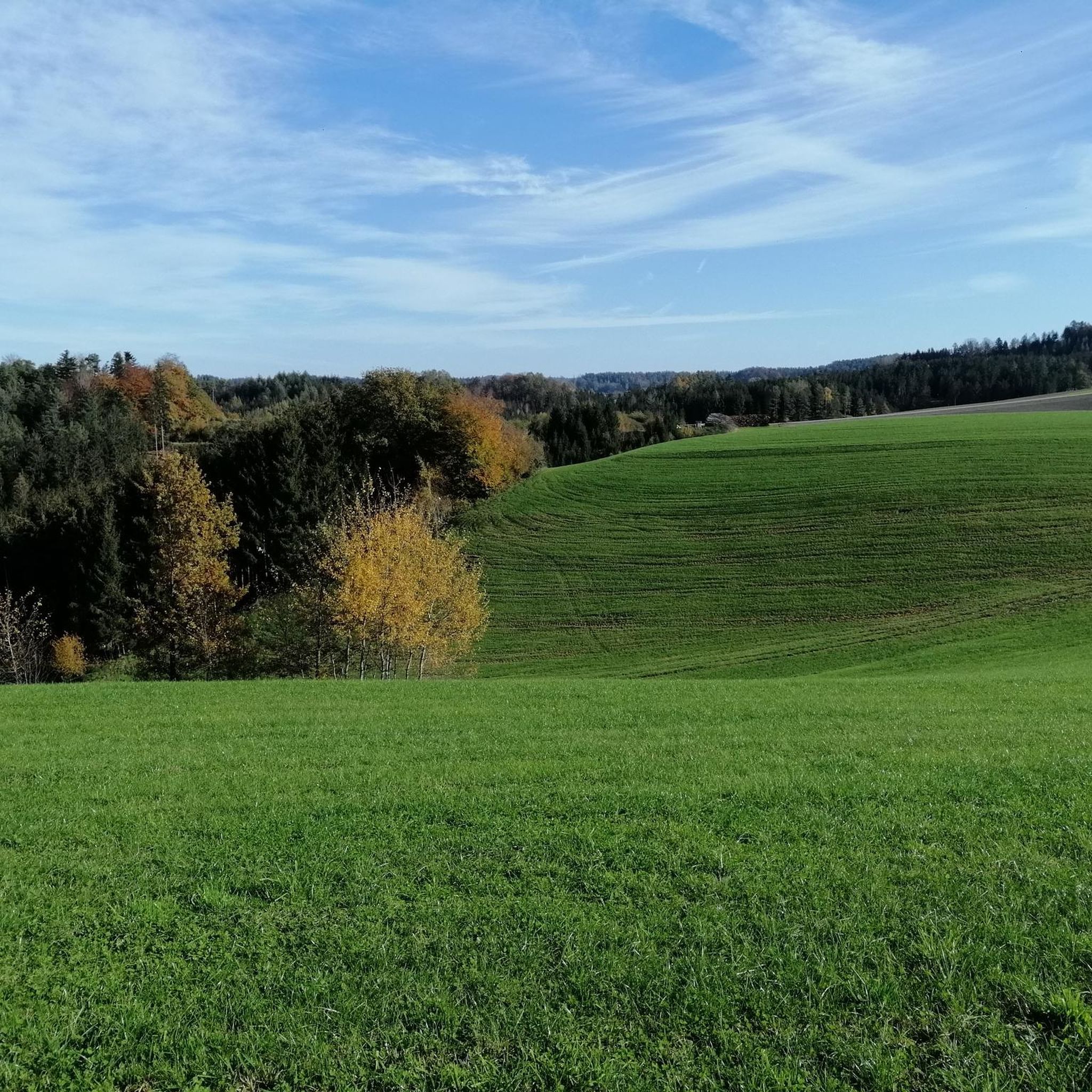
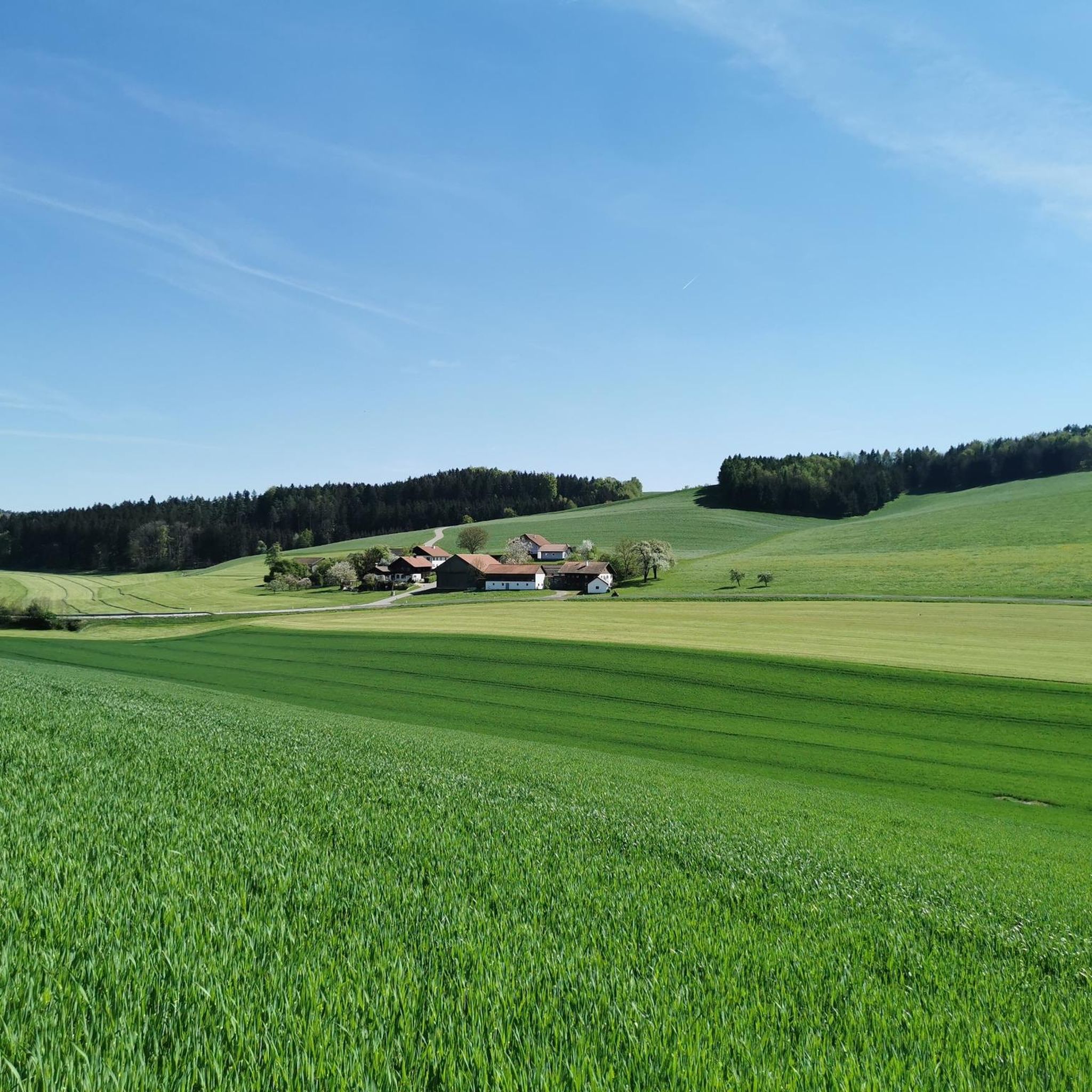
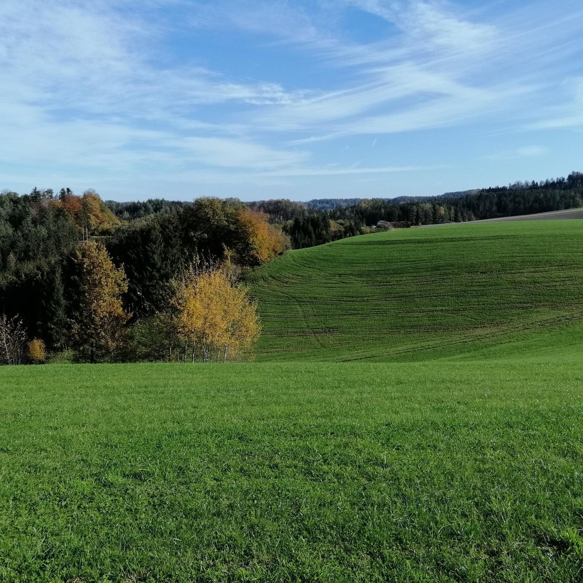
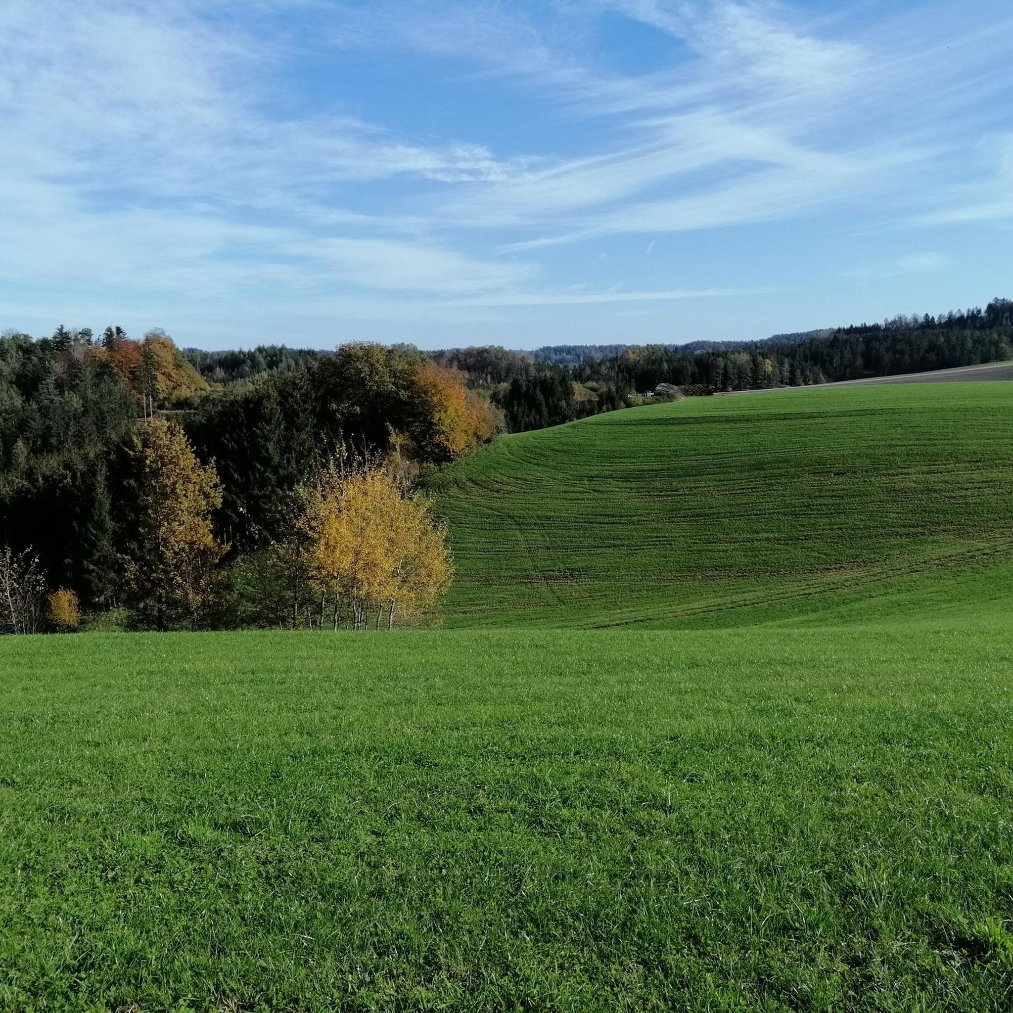

Tips from the Community

4 gymnastics stations at Schwemmbach
0
0

Good opportunity for a leisurely rest
0
0

Very nice cycle path next to the forest
0
0

The Rerndl Forester's Lodge in St. Johann am Walde and the adjacent Rerndlteich Pond are located near the "Spiaßmoia" raised bog. If you're on the "KTM Kobernaußerwald MTB Arena" mountain bike trail, the lodge is a good landmark.
1
0

A great experience for the whole family
0
0

Cool section to drive
0
0
Turn right towards Maria Schmolln and cycle through the terrain over sticks, stones and roots
0
0

Visiting on weekdays from 9am is recommended as there are not too many visitors.
0
0
Frequently Asked Questions
What kind of terrain can I expect on gravel bike trails around Höhnhart?
Gravel biking around Höhnhart offers a diverse mix of terrain. You'll encounter extensive forest paths, particularly through the Kobernauserwald Forest, alongside scenic riverside pathways, and across open meadows. Some routes feature notable elevation gains, providing a good challenge, while others are more moderate.
Are there any easy or beginner-friendly gravel bike trails in Höhnhart?
While many routes in Höhnhart are moderate to difficult, beginners can find suitable options. For a more accessible ride, consider the Forest Trail – Forest and Meadow Trails loop from Schalchen. This route is rated moderate, covers about 21.5 km, and offers a pleasant mix of forest and meadow trails without extreme elevation.
Which gravel bike trails offer significant elevation gain for a challenging ride?
For experienced riders seeking a challenge, Höhnhart has routes with substantial elevation. The Badger pass – Redltal loop from Steiglberg is a difficult 41.6 km path with over 620 meters of ascent. Another demanding option is the Forest Trail – Forest and Meadow Trails loop from Mauerkirchen, which spans 53.9 km and features over 800 meters of climbing.
What is the typical length and duration of gravel bike routes in the Höhnhart area?
The gravel bike routes around Höhnhart vary significantly in length and duration. You can find shorter rides around 20-30 km, taking approximately 2-3 hours, such as the Kobernauserwald Forest Trail – Forest Path loop from Naturschutzgebiet Spiaßmoia. Longer, more challenging routes can extend over 50 km and require 4-5 hours or more to complete.
Are there any circular gravel bike routes near Höhnhart?
Yes, many of the gravel bike trails in Höhnhart are designed as loops, allowing you to start and finish at the same point. Examples include the popular Scenic Riverside Pathway – Kobernauserwald Forest Trail loop from Mattighofen and the Badger pass – Redltal loop from Steiglberg.
What are some interesting sights or landmarks I can see along the gravel bike trails?
The region around Höhnhart offers several points of interest. Along your rides, you might encounter natural monuments like the 1000-Year-Old Lime Tree or the Miraculous Spring. Religious sites such as the Pilgrimage Church Maria Schmolln and the Chapel of the Divine Mercy are also nearby. For nature lovers, Wildenau Lake offers a scenic stop.
Is public transport available to access gravel bike trails in Höhnhart?
Public transport options directly to trailheads in rural areas like Höhnhart can be limited. It's advisable to check local bus schedules or regional train connections to nearby towns like Mattighofen or Mauerkirchen, which serve as starting points for some routes. However, a car is often the most convenient way to reach many of the trail starting points.
Where can I find parking for gravel biking in Höhnhart?
Many gravel bike routes around Höhnhart start from small towns or villages, where you can typically find public parking. For example, routes often begin in Mattighofen, Steiglberg, Schalchen, or Mauerkirchen. Look for designated parking areas within these communities, especially near town centers or public facilities.
What do other gravel bikers enjoy most about the trails in Höhnhart?
The gravel bike trails in Höhnhart are highly rated by the komoot community, with an average score of 4.4 stars. Reviewers often praise the extensive forest trails, the peaceful riverside pathways, and the varied elevation changes that cater to different ability levels. The combination of natural beauty and diverse terrain makes for a rewarding experience.
Are there any gravel bike trails suitable for families with children?
For families, it's best to choose shorter, less challenging routes with minimal elevation. While there are no routes specifically tagged as 'family-friendly' in the data, a moderate route like the Forest Trail – Forest and Meadow Trails loop from Schalchen (21.5 km) could be suitable, depending on the children's experience and stamina. Always check the route details for elevation and surface conditions before heading out.
What is the best time of year for gravel biking around Höhnhart?
The best time for gravel biking around Höhnhart is generally from spring through autumn (April to October). During these months, the weather is typically mild, and the forest paths are dry and pleasant. Summer offers longer daylight hours, but spring and autumn provide comfortable temperatures and beautiful scenery, especially with the changing foliage.
Most popular attractions around Höhnhart

Get inspired with the komoot mobile app


Explore more
Browse the best Gravel rides in other regions.
