The best gravel rides around Neukirchen am Walde
7
riders
3
rides
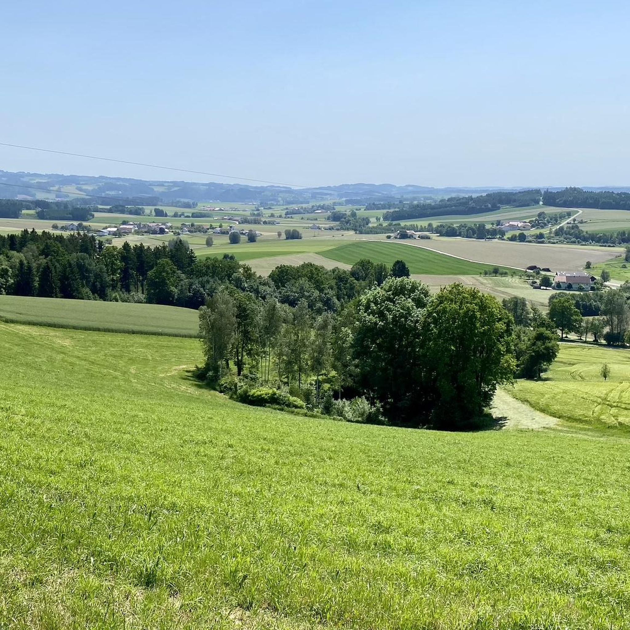
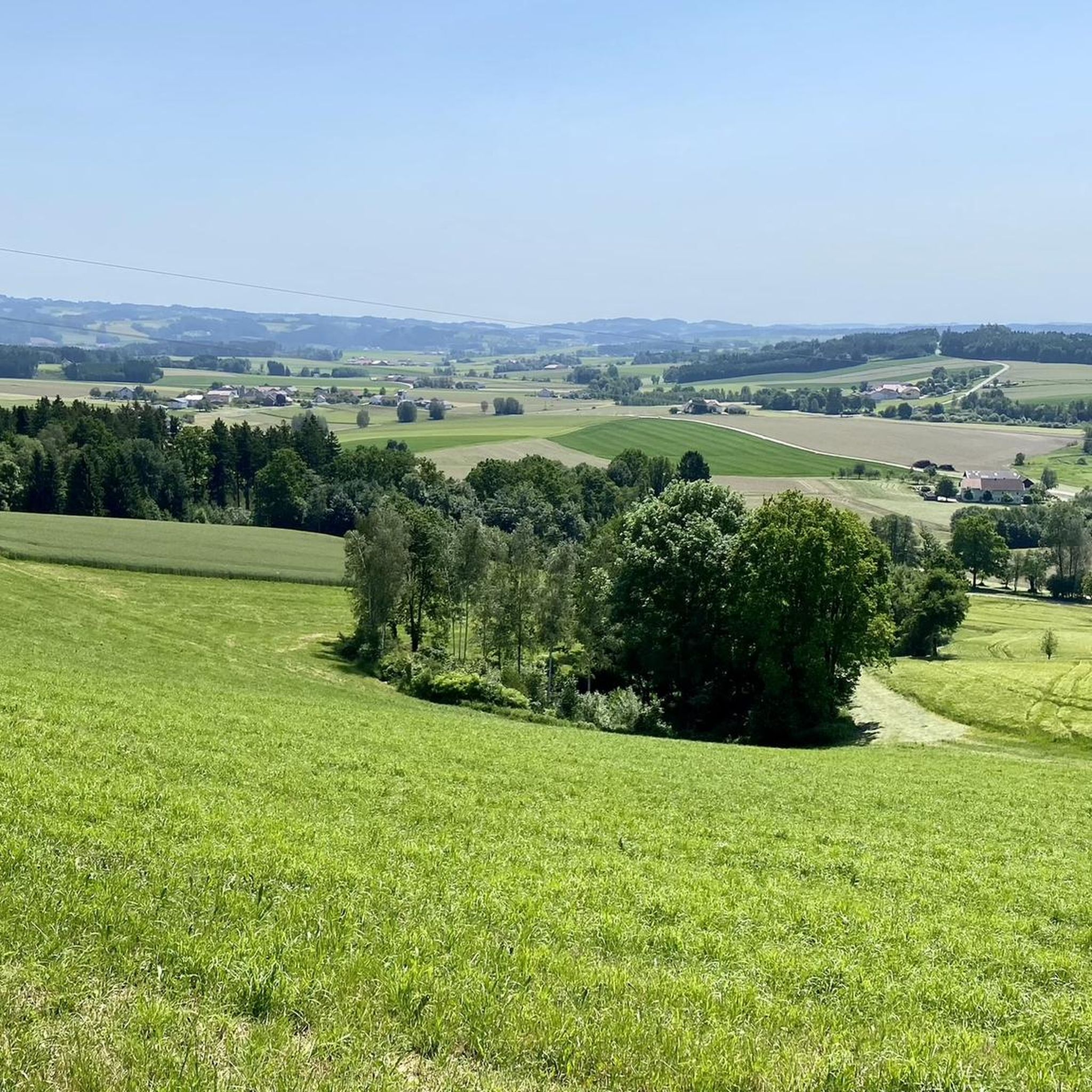
Gravel biking around Neukirchen am Walde offers routes through varied terrain, characterized by river valleys, rolling hills, and forested sections. The region features significant elevation changes, with many routes including climbs to viewpoints. Approximately 21% of the municipality is forested, while nearly 70% is farmland, creating a mosaic of scenery for gravel bikers. Elevations range from around 425 meters to 576 meters, providing both gentle ascents and more challenging climbs.
Best gravel bike trails around Neukirchen am Walde
- The most…
Last updated: July 2, 2026
2
riders
Hard gravel ride. Very good fitness required. Mostly paved surfaces. Suitable for all skill levels.
1
riders
31.4km
02:05
430m
430m
Moderate gravel ride. Good fitness required. Mostly paved surfaces. Suitable for all skill levels.

Sign up for free
3
riders
28.5km
02:01
480m
480m
Hard gravel ride. Very good fitness required. You may need to push your bike for some segments of this route.
1
riders
Hard gravel ride. Very good fitness required. Mostly paved surfaces. Suitable for all skill levels.
Our route recommendations are based on thousands of hikes, rides, and runs completed by other people on komoot.
Start today with a free account
Your next adventure awaits.
Login or Signup

Tips from the Community

Aschach an der Donau is one of those places that you visit and immediately feel like you are in a postcard. It is one of the oldest and most charming market towns in Upper Austria (Eferding district) and is located directly on the great Danube loop. For centuries, Aschach was an important hub for shipping and trade. This is still reflected in the townscape today. The row of houses directly on the Danube promenade largely dates from the 16th century (Renaissance and Baroque). The facades are magnificently restored and a popular photo motif.
0
0

Weidenholz Castle is located in the district of the same name in the municipality of Waizenkirchen in the Grieskirchen district of Upper Austria.
0
0


13th century: Expansion into a moated castle with a moat, four-story residential building, rectangular courtyard with arcades, and a surviving tower. The moat is still completely intact today, giving the castle its distinctive character.
0
0

Many cafes and restaurants along the Danube, perfect for a break on your bike tour.
1
0

beautiful little town on the Danube
1
0

The Mayrhofberg is adorned with a tower and a summit cross with some benches.
2
0

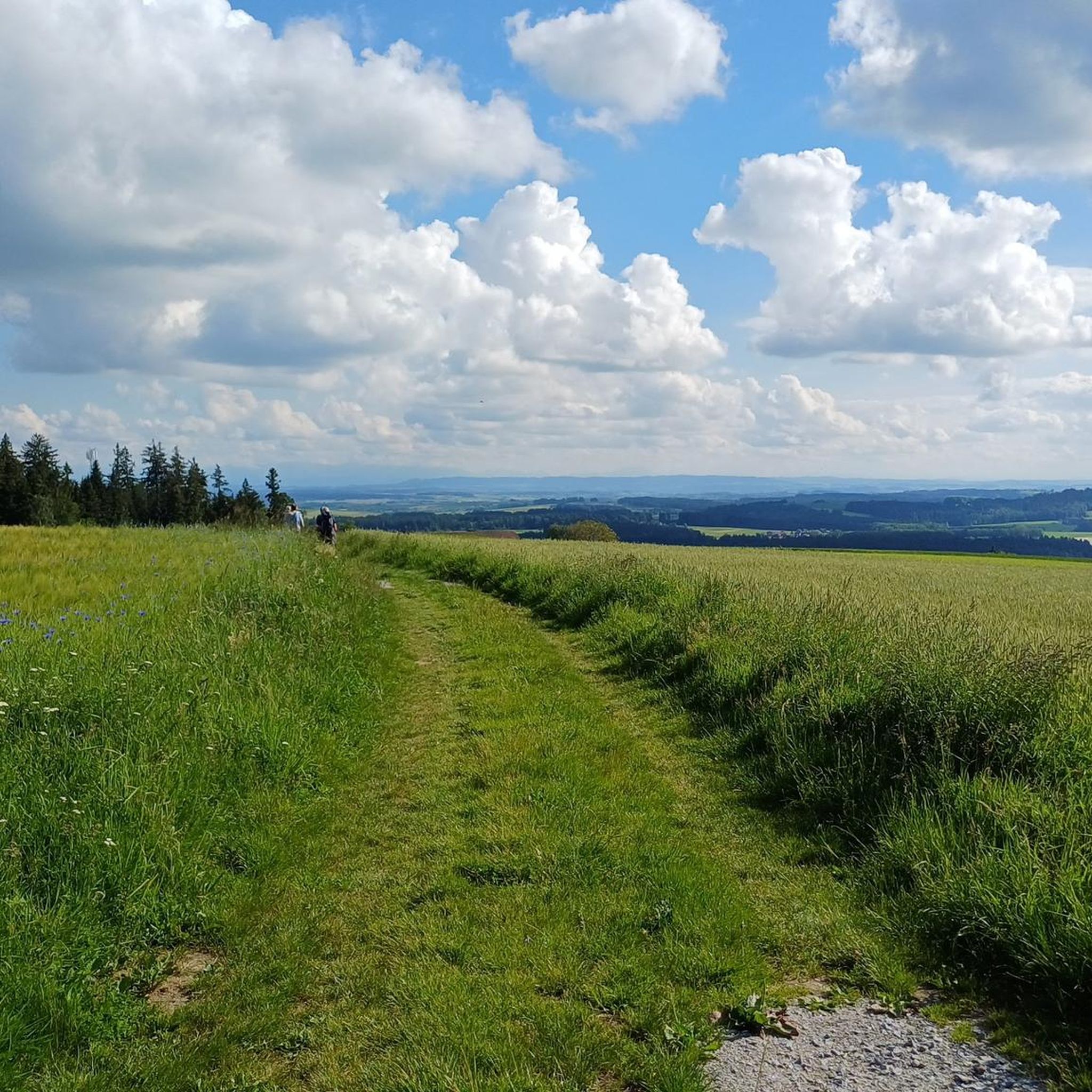
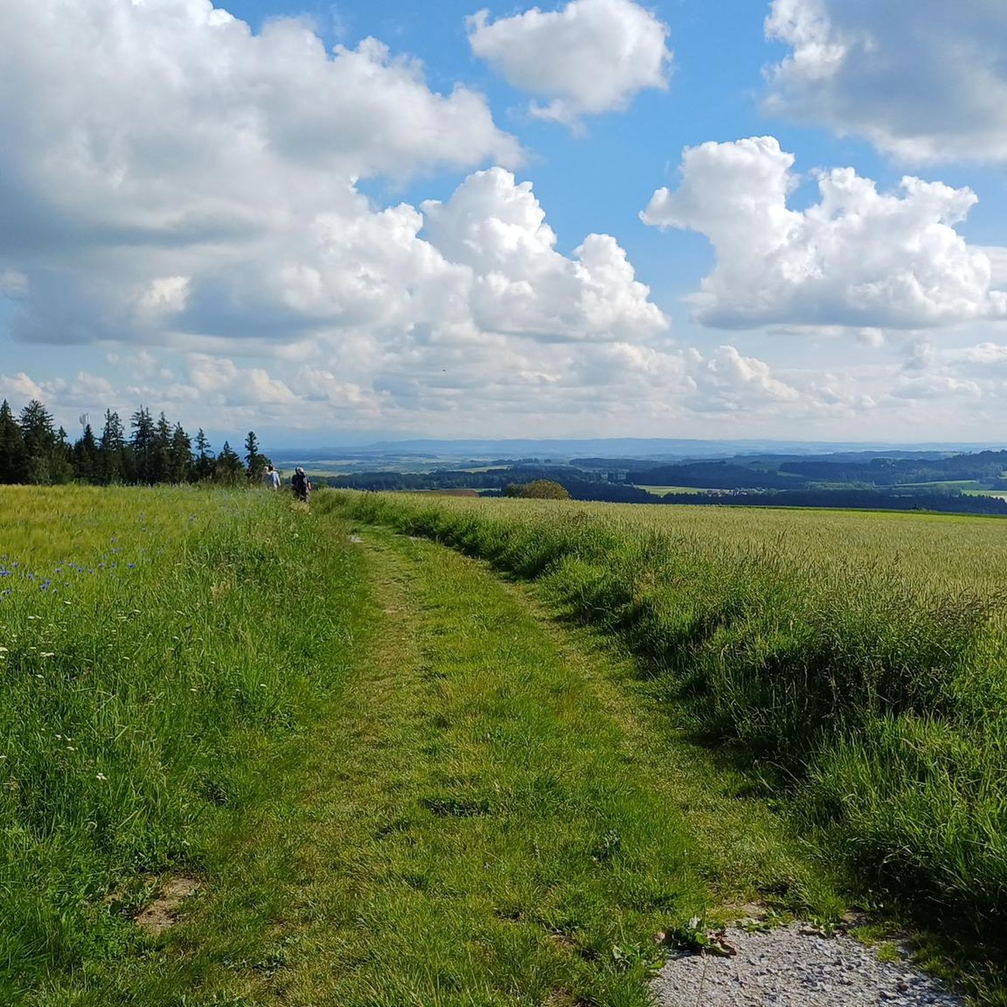
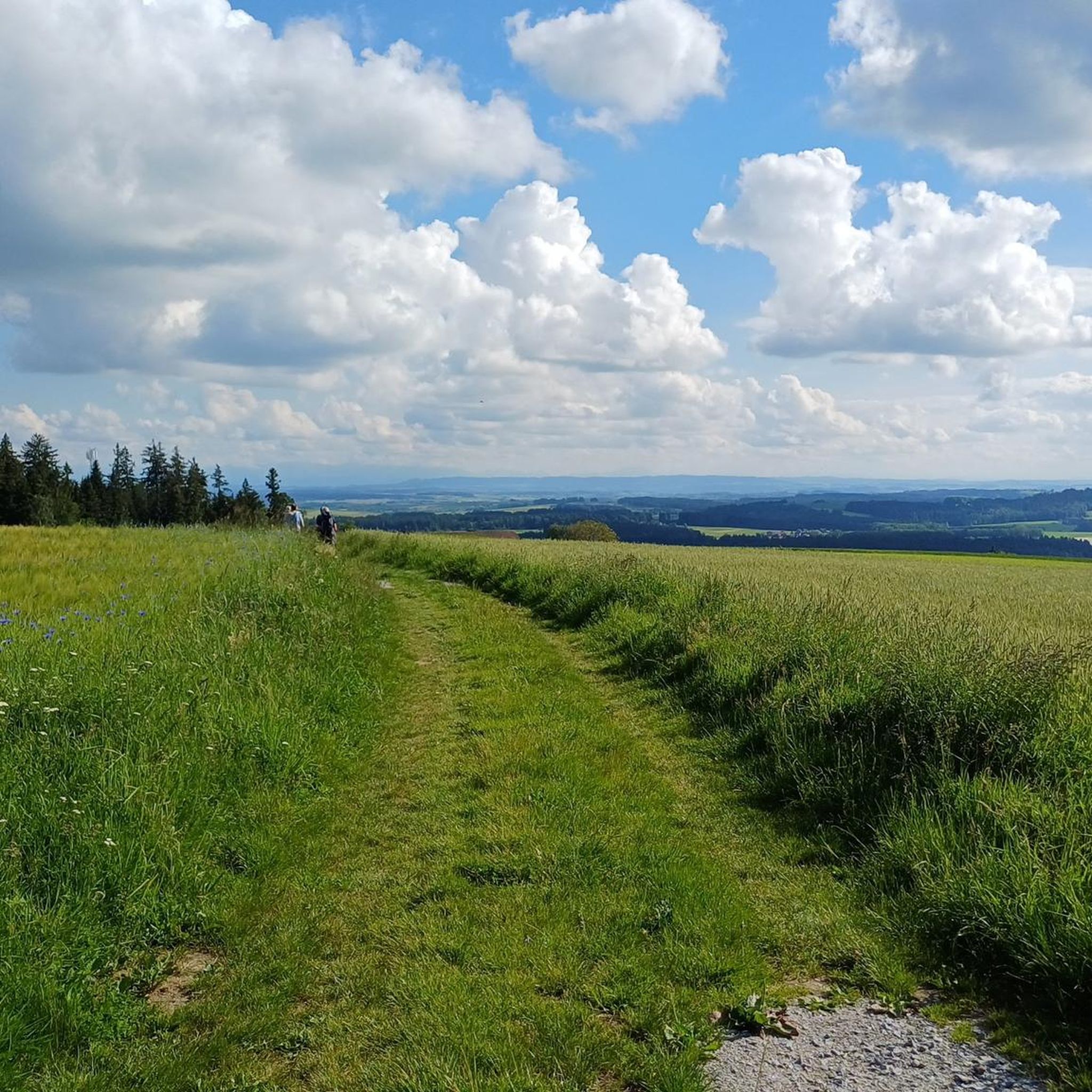
Well, the hike went okay. The observation tower is nice with a nice view, but the trail is very poorly signposted.
2
0
Frequently Asked Questions
How many gravel bike trails are available around Neukirchen am Walde?
There are around 12 gravel bike trails available in the Neukirchen am Walde region. While most routes are rated as difficult, there are also 3 moderate options for those seeking a less strenuous ride.
Are there any easy or beginner-friendly gravel bike trails in Neukirchen am Walde?
The gravel biking routes around Neukirchen am Walde are generally challenging, with most rated as difficult. There are no trails specifically categorized as easy. However, you can find 3 moderate routes, such as the Steegen Municipality – View of Oberbubenberg loop from St. Willibald, which might be suitable for beginners looking for a bit more of a challenge.
What is the typical length and duration of gravel bike trails in this region?
Gravel bike trails around Neukirchen am Walde vary significantly in length and duration. You can find shorter routes like the Hengstberg Lookout Point – Hengstberg Viewpoint loop from Eschenau im Hausruckkreis, which is about 27 km (17 miles) and takes around 2 hours 30 minutes, up to extensive tours like the View of Passau's Old Town – Schlögen Loop loop from Engelhartszell an der Donau, spanning over 100 km (63 miles) and requiring more than 7 hours to complete.
Are there any circular gravel bike routes available?
Yes, many of the gravel bike trails in the Neukirchen am Walde area are designed as loops. For example, the Schärding Town Square – View of Passau's Old Town loop from Schloss Rannariedl offers a substantial circular ride through river valleys and past historic towns.
What kind of scenery can I expect on these gravel bike trails?
The gravel bike trails around Neukirchen am Walde are known for their varied and scenic landscapes. You'll encounter river valleys, rolling hills, and forested sections. Many routes offer extensive views, including panoramas of Passau's Old Town and the famous Schlögen Loop of the Danube River. The region's terrain often includes significant elevation changes, leading to rewarding viewpoints.
Are there any specific attractions or landmarks to see along the routes?
Yes, several routes pass by notable attractions. You can experience the stunning Schlögen Loop of the Danube, or see the Jochenstein rock island with its statue of Saint John of Nepomuk. The region also features beautiful natural areas like the Ranna Valley and the Donauleiten Nature Reserve.
What do other gravel bikers enjoy most about the trails in Neukirchen am Walde?
The gravel biking routes in Neukirchen am Walde are highly rated by the komoot community, with an average score of 4.2 stars. Reviewers often praise the varied terrain, the challenging climbs, and the extensive views, especially those overlooking the Danube River and historic towns.
Are there any routes that follow the Danube River?
Yes, many gravel bike routes in the Neukirchen am Walde area incorporate sections along the Danube River. For instance, the Schlögen Loop – Danube Cycle Path South Bank loop from St. Agatha specifically follows the south bank of the Danube Cycle Path, offering beautiful riverside scenery.
Can I find routes with good viewpoints?
Absolutely. The region is characterized by rolling hills and significant elevation changes, meaning many routes lead to excellent viewpoints. The Hengstberg Lookout Point – Hengstberg Viewpoint loop from Eschenau im Hausruckkreis is a prime example, specifically highlighting its scenic overlooks.
Are there any hidden gem gravel trails in the area?
While the main routes are well-loved, exploring the smaller paths connecting the river valleys and forested sections can reveal quieter, less-trafficked gravel trails. The region's diverse landscape means there's always a chance to discover a new favorite, perhaps in areas like the Fords Trail in the Ranna Valley.
What is the best time of year for gravel biking around Neukirchen am Walde?
The best time for gravel biking in Neukirchen am Walde is typically from spring through autumn, when the weather is mild and the trails are dry. The varied terrain, including river valleys and forested areas, offers pleasant riding conditions during these seasons. Winter riding might be possible, but conditions can be challenging due to snow or ice, especially on higher elevations.
Most popular routes around Neukirchen am Walde
Most popular attractions around Neukirchen am Walde

Get inspired with the komoot mobile app


Explore more
Browse the best Gravel rides in other regions.
