The best gravel rides around Gaubitsch
4.3
(4)
20
riders
4
rides
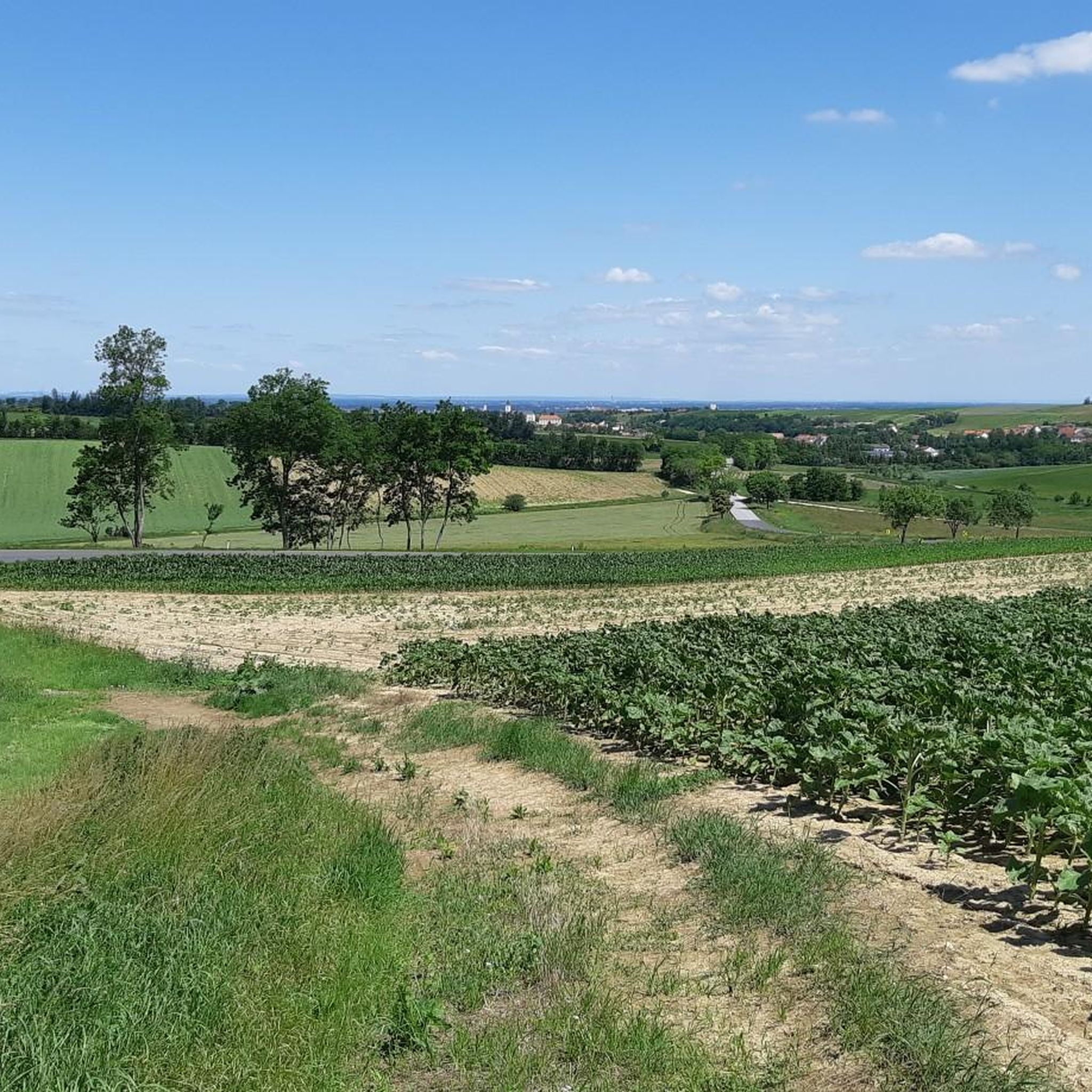
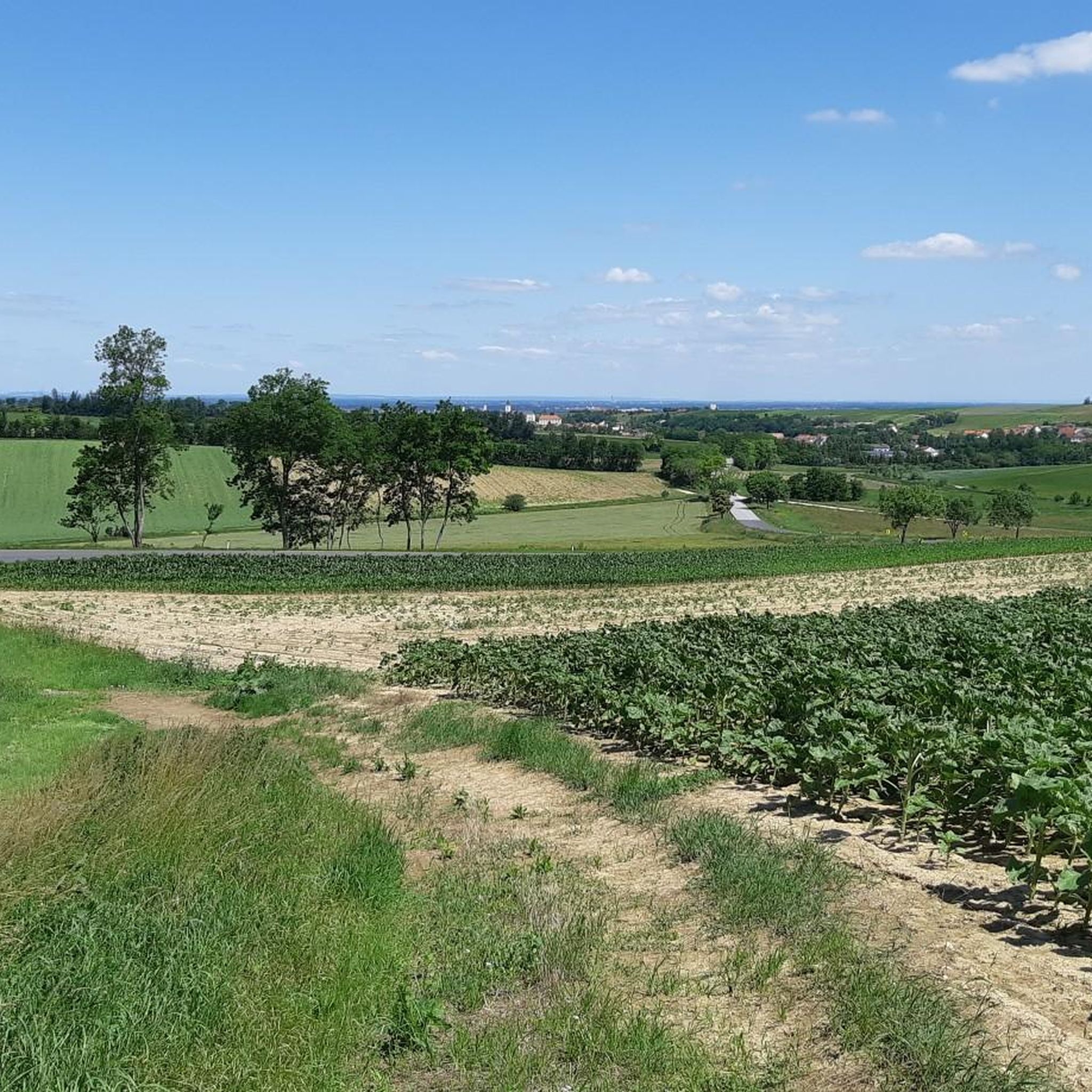
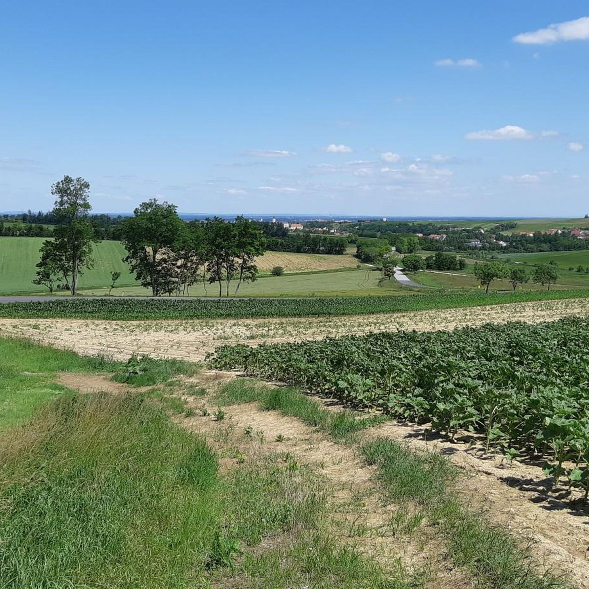
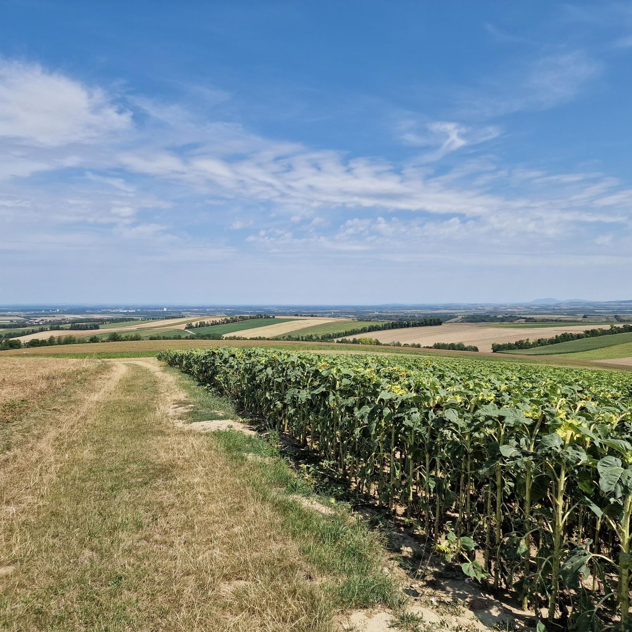
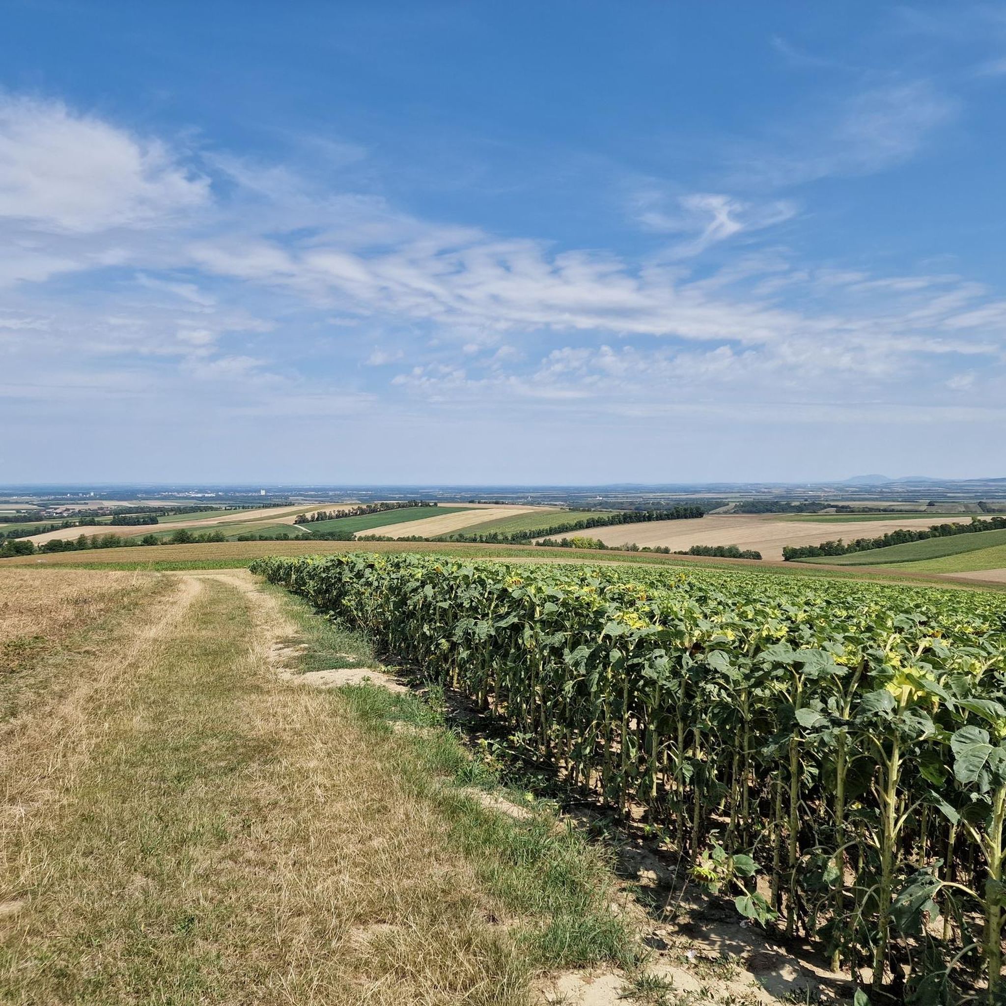
Gravel biking around Gaubitsch features a landscape characterized by rolling hills, agricultural fields, and scattered woodlands. The region includes historical sites such as castles and ruins, often connected by gravel paths and quiet country roads. Elevations are generally moderate, with some routes offering climbs to local hills like Buschberg.
Best gravel bike trails around Gaubitsch
- The most popular gravel bike trail is Leiser Hill Tour Forest Trail – Great route up Buschberg loop from Katastralgemeinde Oberleis, a 21.7 miles (34.9 km) trail that takes 2 hours 33 minutes to complete. This route features significant elevation gain through forested areas.
- Another top favourite among local gravel bikers is Buschberg Radar Dome – Michelstetten Pond loop from Pyhra, a moderate 9.8 miles (15.9 km) path. This trail offers views from the Buschberg Radar Dome and passes by Michelstetten Pond.
- Local gravel bikers also love the Weyerburg Castle – Cycle path next to the small Göllersbach loop from Nappersdorf-Kammersdorf, a 28.9 miles (46.5 km) trail leading through historic Weyerburg Castle and along the Göllersbach, often completed in about 3 hours 29 minutes.
- Gravel biking around Gaubitsch is defined by rolling hills, agricultural land, and historical landmarks. The network offers options for various ability levels, from moderate loops to more challenging routes with greater elevation.
- The routes in Gaubitsch are highly rated by the komoot community with an average score of 4.7 stars from over 6 reviews. More than 30 gravel bikers have used komoot to explore Gaubitsch's varied terrain.
Last updated: July 2, 2026
4.5
(2)
8
riders
Hard gravel ride. Very good fitness required. You may need to push your bike for some segments of this route.
3
riders
15.2km
00:55
130m
130m
Easy gravel ride. Great for any fitness level. Mostly paved surfaces. Suitable for all skill levels.

Sign up for free
4.7
(3)
6
riders
Moderate gravel ride. Good fitness required. Mostly paved surfaces. Suitable for all skill levels.
1
riders
48.4km
02:48
310m
310m
Moderate gravel ride. Good fitness required. Mostly paved surfaces. Suitable for all skill levels.
3
riders
Hard gravel ride. Very good fitness required. Mostly paved surfaces. Suitable for all skill levels.
Our route recommendations are based on thousands of hikes, rides, and runs completed by other people on komoot.
Start today with a free account
Your next adventure awaits.
Login or Signup
Tips from the Community

Magnificent Neo-Renaissance town hall from 1898.
0
0

19th-century castle, still owned by the Princes Reuss, who still live there today.
0
0

Impressive building in Laa/Thaya
0
0

Well-maintained grounds and there is a restaurant.
0
0

The cellar district of Unterstinkenbrunn, known as the Loamgrui, is located on a hill above the village. The press houses have a special feature: next to the main entrance, there is a separate cellar entrance, protected by a small canopy resting on two pillars. The cellar district itself is structured like a small village, with a square at its center, which is a real after-work and holiday spot for the residents of Unterstinkenbrunn.
0
0

Ernstbrunn is home to a true gem of railway history: the heritage locomotive 93.1364. This historic steam locomotive, on display at the local station, attracts both railway enthusiasts and families. It was built in Austria in the 1920s and served for a long time on the local railways in the Weinviertel region. Despite the decommissioning of the Class 93 in 1976, some examples remained in reserve until 1982. On May 13, 2010, 93.1364 was ceremoniously installed at Ernstbrunn station after having been transported there by Ernstbrunner Kalktechnik. Weighing approximately 60 tons, it is an impressive testament to the era of steam locomotives. Visitors have the opportunity to inspect the steam locomotive and learn more about the history of railways in the region. The station also serves as the starting point for the Leiser Berge NostalgieExpress, which runs with historic steam and diesel locomotives from Vienna South Station to Ernstbrunn.
3
0

Frequently Asked Questions
How many gravel bike trails are available around Gaubitsch?
There are over 10 gravel bike routes in the Gaubitsch region, offering a variety of experiences for different skill levels. You'll find everything from moderate loops to more challenging rides.
Are there easy or beginner-friendly gravel bike routes in Gaubitsch?
While most routes are moderate, there is at least one easy gravel bike trail available. Many of the moderate routes are also suitable for beginners looking for a slightly longer ride, often featuring rolling hills and agricultural fields rather than steep climbs.
What kind of challenging gravel bike trails can I find in Gaubitsch?
For those seeking a challenge, Gaubitsch offers several difficult gravel bike trails. Routes like the Leiser Hill Tour Forest Trail – Great route up Buschberg loop from Katastralgemeinde Oberleis feature significant elevation gain through forested areas, providing a demanding ride.
What are the typical distances and durations for gravel bike routes in Gaubitsch?
Gravel bike routes in Gaubitsch vary in length and duration. You can find shorter loops, such as the Buschberg Radar Dome – Michelstetten Pond loop from Pyhra, which is about 9.8 miles (15.9 km) and takes around 1 hour 5 minutes. Longer routes, like the Weyerburg Castle – Cycle path next to the small Göllersbach loop from Nappersdorf-Kammersdorf, can be up to 28.9 miles (46.5 km) and take over 3 hours.
Are there any family-friendly gravel bike options in the Gaubitsch area?
Many of the moderate routes, characterized by rolling hills and quiet country roads, can be suitable for families with older children or those comfortable with longer distances. The region's landscape of agricultural fields and scattered woodlands offers a pleasant environment for a family outing.
What scenic viewpoints or landmarks can I expect to see on gravel bike trails around Gaubitsch?
The region is rich in historical sites and natural beauty. You can enjoy views from the Buschberg Radar Dome, explore historic Weyerburg Castle, or pass by the impressive Ruins of Staatz Castle. Many routes also feature picturesque ponds like the Hörersdorf Landscape Pond.
What do other gravel bikers enjoy most about riding in Gaubitsch?
The area is highly rated by the komoot community, with an average score of 4.7 stars. Reviewers often praise the diverse terrain, which includes rolling hills, agricultural fields, and forested sections, as well as the historical landmarks encountered along the way.
Are the gravel bike routes in Gaubitsch typically loop trails?
Yes, many of the popular gravel bike routes around Gaubitsch are designed as loops, allowing you to start and finish at the same point. This includes routes like the Leiser Hill Tour Forest Trail and the Buschberg Radar Dome – Michelstetten Pond loop.
What kind of terrain can I expect on gravel bike trails in Gaubitsch?
The terrain around Gaubitsch is characterized by rolling hills, extensive agricultural fields, and scattered woodlands. You'll encounter a mix of gravel paths and quiet country roads, with moderate elevations and some climbs to local hills like Buschberg.
Are there any natural attractions or bodies of water along the gravel bike routes?
Yes, several routes pass by natural attractions. You can find highlights such as the Egelseer Graben Biotope near Staatz, the Hörersdorf Landscape Pond, and the Pond in Ernsdorf near Staatz, offering pleasant stops during your ride.
Can I find routes that pass by historical castles or ruins?
Absolutely. The Gaubitsch region is dotted with historical sites. You can ride past the impressive Staatz Castle Ruins or explore the area around Laa Castle, integrating history into your gravel biking adventure.
Most popular attractions around Gaubitsch

Get inspired with the komoot mobile app


Explore more
Browse the best Gravel rides in other regions.
