The best gravel rides around Weissenstein
4.6
(359)
3,648
riders
38
rides
Gravel biking around Weißenstein offers a diverse landscape, characterized by the Jura Mountains with their varied terrain, including high-altitude trails, forest paths, and scenic ridge trails. The region also features river valleys, such as those along the Drava, and areas around lakes, providing varied terrain for exploration. These routes often combine paved sections with unpaved paths, suitable for gravel bikes, and include both flatter cycle paths and sections with moderate to challenging elevation changes.
Best gravel bike trails around Weissenstein
- The most popular gravel bike trail is Drava River – Old Drau Cycle Path loop from Villach Hauptbahnhof, a 41.3 miles (66.5 km) trail that takes 3 hours 49 minutes to complete. This difficult route follows the Drava River, offering riverside views.
- Another top favourite among local gravel bikers is Drava Cycle Path – View of the Drava River loop from Ferndorf, a difficult 50.2 miles (80.8 km) path. This route provides extensive views of the Drava River and its surrounding landscape.
- Local gravel bikers also love the Lake Millstatt in Seeboden – Brennsee (Lake Feldsee) loop from Villach Hauptbahnhof, a 55.7 miles (89.7 km) trail leading through lake and valley scenery, often completed in about 6 hours 23 minutes.
- Gravel biking around Weißenstein is defined by river valleys, cycle paths, and lake areas. The network offers options for different ability levels, from moderate to difficult routes.
- The routes in Weißenstein are highly rated by the komoot community with an average score of 4.6 stars from over 260 reviews. More than 2,800 gravel bikers have used komoot to explore Weißenstein's varied terrain.
Last updated: July 2, 2026
4.5
(20)
594
riders
66.4km
03:51
550m
550m
Hard gravel ride. Very good fitness required. Mostly paved surfaces. Suitable for all skill levels.
4.7
(11)
133
riders
80.8km
04:29
570m
570m
Hard gravel ride. Very good fitness required. Mostly paved surfaces. Suitable for all skill levels.

Sign up for free
4.3
(10)
126
riders
41.2km
02:07
240m
240m
Moderate gravel ride. Good fitness required. Mostly paved surfaces. Suitable for all skill levels.
4.7
(9)
89
riders
Moderate gravel ride. Good fitness required. Mostly paved surfaces. Suitable for all skill levels.
4.6
(44)
444
riders
61.7km
03:05
280m
280m
Moderate gravel ride. Good fitness required. Mostly paved surfaces. Suitable for all skill levels.
Get access to more routes and recommendations from other explorers.
Sign up for free
Already have an account?
Our route recommendations are based on thousands of hikes, rides, and runs completed by other people on komoot.
Start today with a free account
Your next adventure awaits.
Login or Signup
Tips from the Community

In St. Jakob im Kärntner Rosental, the new Paulifurtbrücke bridge over the Rosenbach was realized as a trough-shaped frame bridge. For the bridge with a span of 32 m, the crossbeams were made of prestressed UHPC elements. The use of thin-walled, yet highly robust UHPC components subsumed the necessity of geometric stiffness in the structural design. Thus, special emphasis could be placed on the aesthetic aspects.
0
0

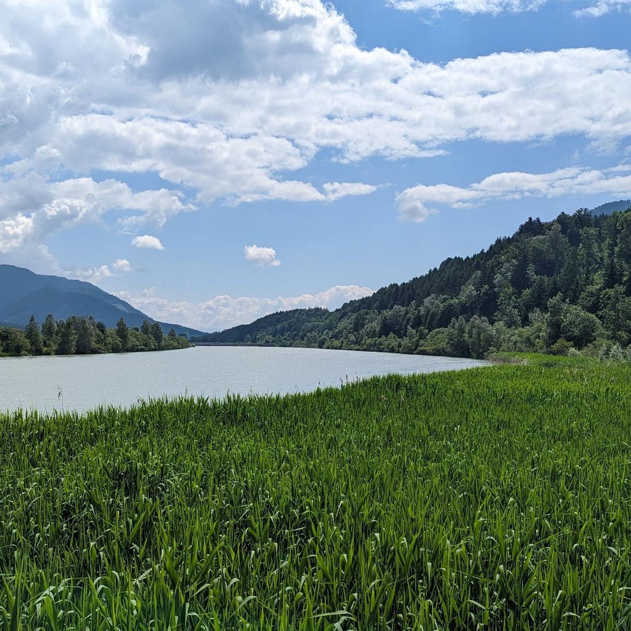
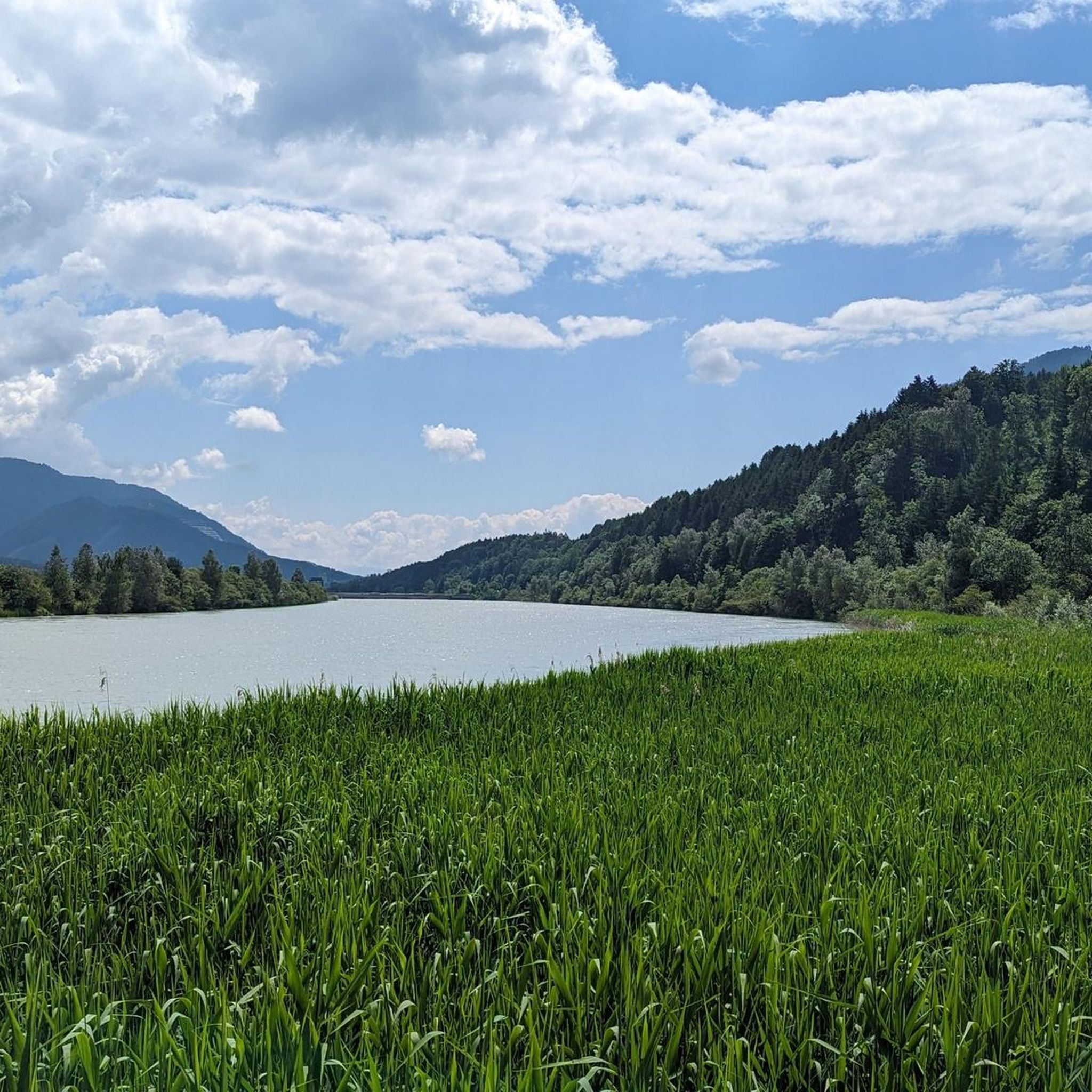
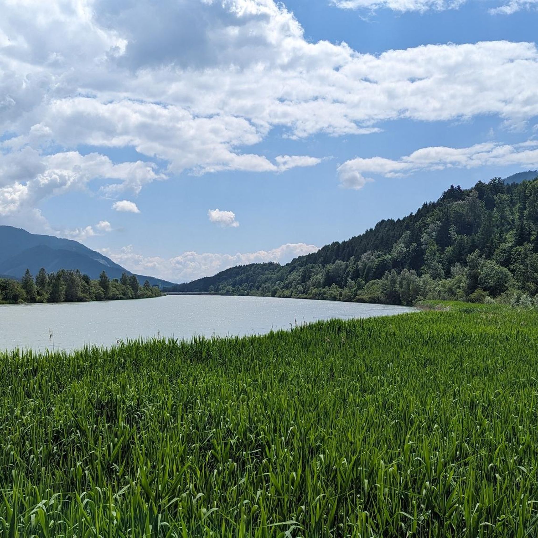
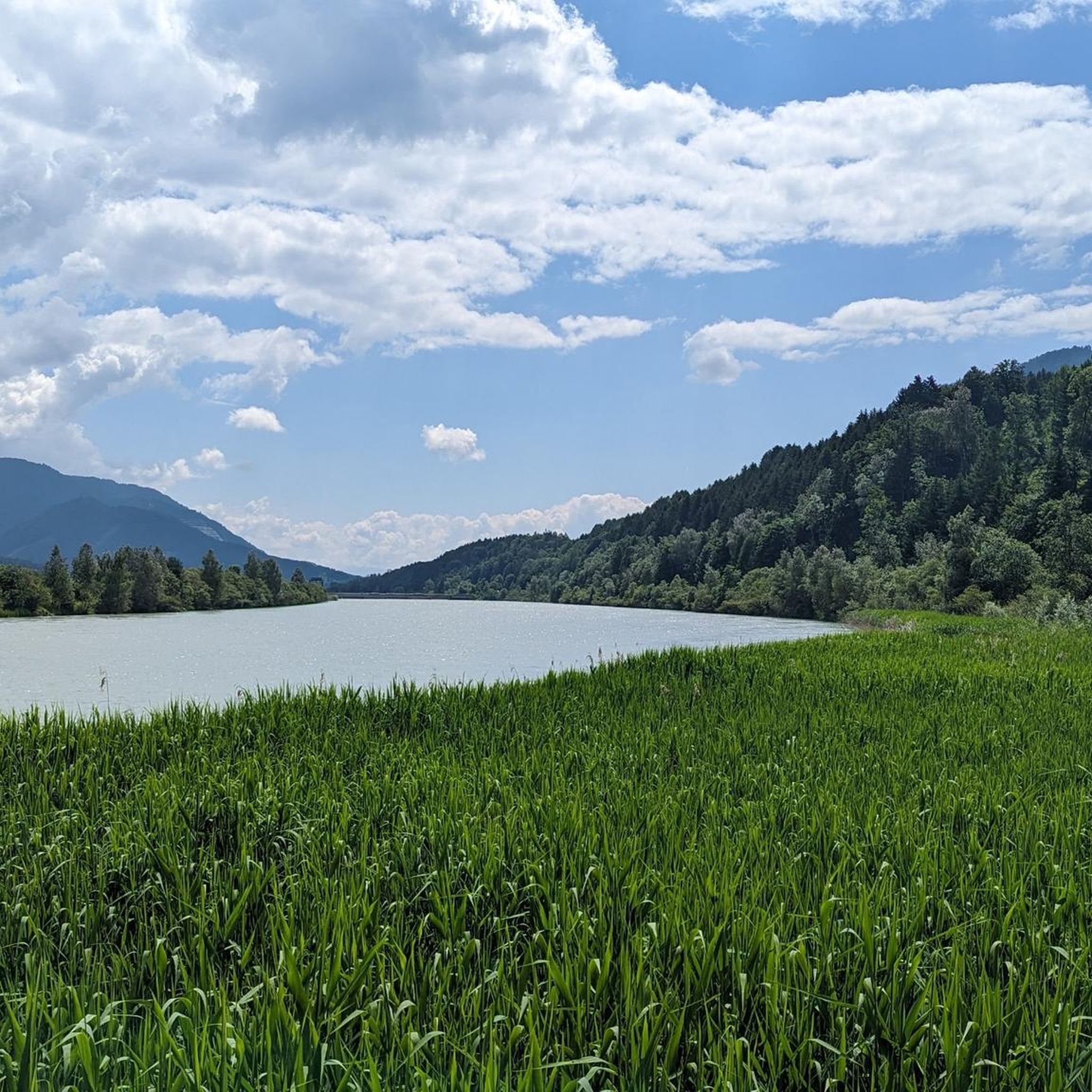
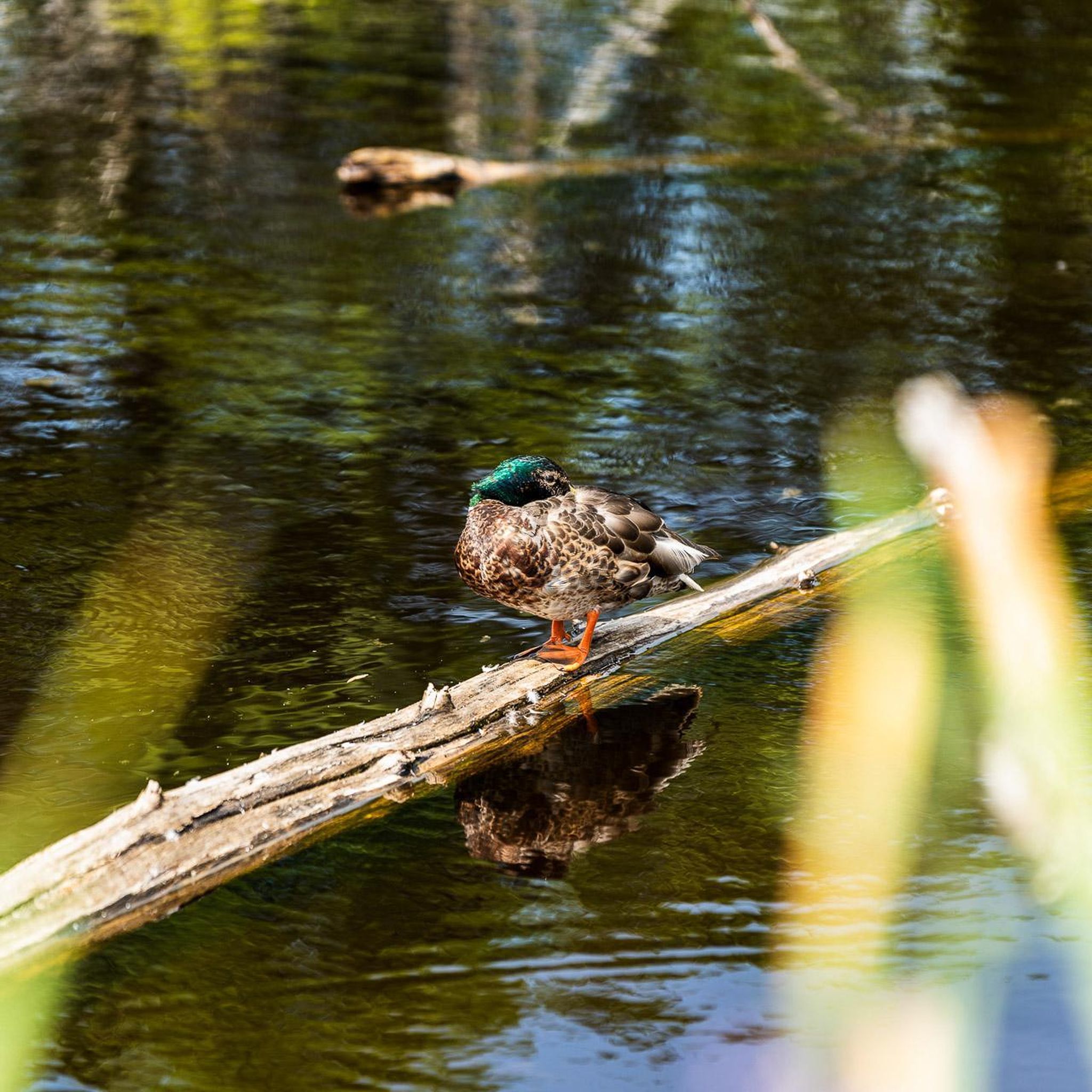
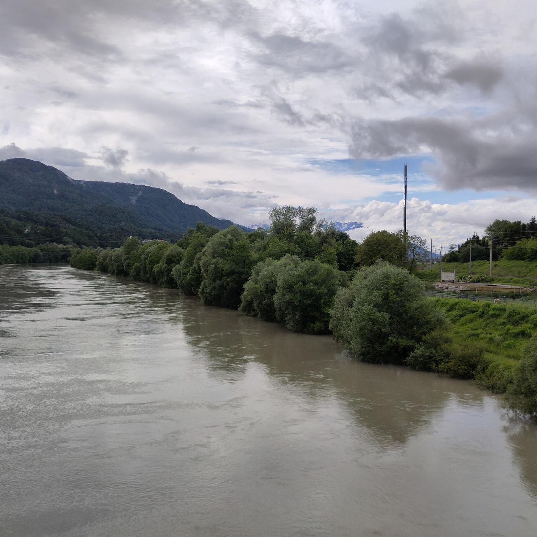
In the dammed Drau river, you can also swim wonderfully along the entire tour and enjoy a refreshing water temperature of 20° C until late summer
2
0
In the dammed Drau, you can enjoy wonderful swimming along the entire tour and experience refreshing 20° C water temperatures until late summer.
0
0
The most beautiful section is the one between the sleepy Oberdrauburg and Spittal with Schloss Porcia, one of Austria's most picturesque castles.
1
0
The most beautiful section of the route is the one between the sleepy Oberdrauburg and Spittal with Schloss Porcia, one of the most picturesque castles in Austria.
1
0

…a very well-maintained cycle path with various refreshment stops! 🍺🚴♂️
3
0
Along the Drau runs a well-developed cycle path 🚴♂️
1
0
It originates in Toblach, at Toblacher Feld, near the Neunergruppe, and then flows east through East Tyrol, Carinthia, Lower Styria, Slovenia, Croatia, and Hungary. Finally, the Drau flows into the Black Sea together with the Danube.
1
0
Frequently Asked Questions
How many gravel bike trails are available around Weißenstein?
There are over 60 gravel bike routes to explore around Weißenstein, offering a diverse range of options for different skill levels and preferences.
What kind of terrain can I expect on gravel bike trails in Weißenstein?
The trails around Weißenstein feature a varied landscape, including river valleys along the Drava and areas around lakes. You'll encounter routes that combine paved sections with unpaved paths, ranging from flatter cycle paths to sections with moderate elevation changes.
Are there easy gravel bike routes suitable for beginners in Weißenstein?
Yes, Weißenstein offers a selection of routes suitable for beginners. While many routes have moderate sections, you can find options that are less demanding. For example, the Old Drau Cycle Path – View of the Drava loop from Villach Hauptbahnhof is a moderate route that provides a good introduction to the area's gravel biking.
What are some challenging gravel bike routes for experienced riders?
For experienced gravel bikers seeking a challenge, Weißenstein has several difficult routes. Consider the Drava River – Old Drau Cycle Path loop from Villach Hauptbahnhof, which is a popular 41.3-mile (66.5 km) trail following the Drava River, or the Lower Fusine Lake – Alpe Adria Route loop from Villacher Alpenarena, which offers significant elevation changes over 51.9 miles (83.6 km).
Are there family-friendly gravel biking options in Weißenstein?
While many routes around Weißenstein are rated moderate to difficult, families can find suitable sections, especially along the flatter cycle paths in the river valleys. Look for shorter, less elevated sections of routes like the Drava Cycle Path for a more relaxed experience. Always check the route details for elevation and surface type to ensure it matches your family's ability.
What is the best time of year for gravel biking around Weißenstein?
The best time for gravel biking around Weißenstein is typically from spring to autumn. During these seasons, the weather is generally mild, and the trails are in good condition. Summer offers warmer temperatures, while spring and autumn provide pleasant riding conditions with beautiful scenery.
Are there circular gravel bike routes available?
Yes, many of the gravel bike routes around Weißenstein are designed as loops, allowing you to start and end at the same point. Examples include the Drava Cycle Path – View of the Drava River loop from Ferndorf and the View of the Drava River – Drava Cycle Path loop from Villach Westbahnhof.
What do other gravel bikers enjoy most about the trails in Weißenstein?
The gravel biking routes in Weißenstein are highly rated by the komoot community, with an average score of 4.6 stars. Riders often praise the diverse landscape, including scenic river valleys and lake views, as well as the combination of paved and unpaved paths that make for an engaging gravel experience.
Are there any notable viewpoints or attractions along the gravel bike trails?
Yes, the region offers several scenic points. While riding, you might catch glimpses of the Drava River and surrounding landscapes. Nearby attractions include various lakes like Ossiach and Silver Lake, as well as mountain peaks such as Dobratsch Summit, which offer stunning vistas.
Where can I find parking and access points for the gravel bike trails?
Many routes around Weißenstein start from towns and cities with accessible parking, such as Villach. For instance, the Drava River – Old Drau Cycle Path loop begins from Villach Hauptbahnhof, which is well-connected and typically offers parking options. Always check specific route details for recommended starting points and parking information.
Can I find places to stop for refreshments or food along the routes?
While specific cafe stops are not detailed for every route, the trails often pass through or near towns and villages in the Drava valley and around the lakes. These locations typically offer opportunities for refreshments, cafes, and restaurants. Planning your route with komoot allows you to identify potential stops along the way.
Most popular routes around Weissenstein
Most popular attractions around Weissenstein

Get inspired with the komoot mobile app


Explore more
Browse the best Gravel rides in other regions.
