The best gravel rides around Kaltenleutgeben
4.5
(480)
2,321
riders
81
rides
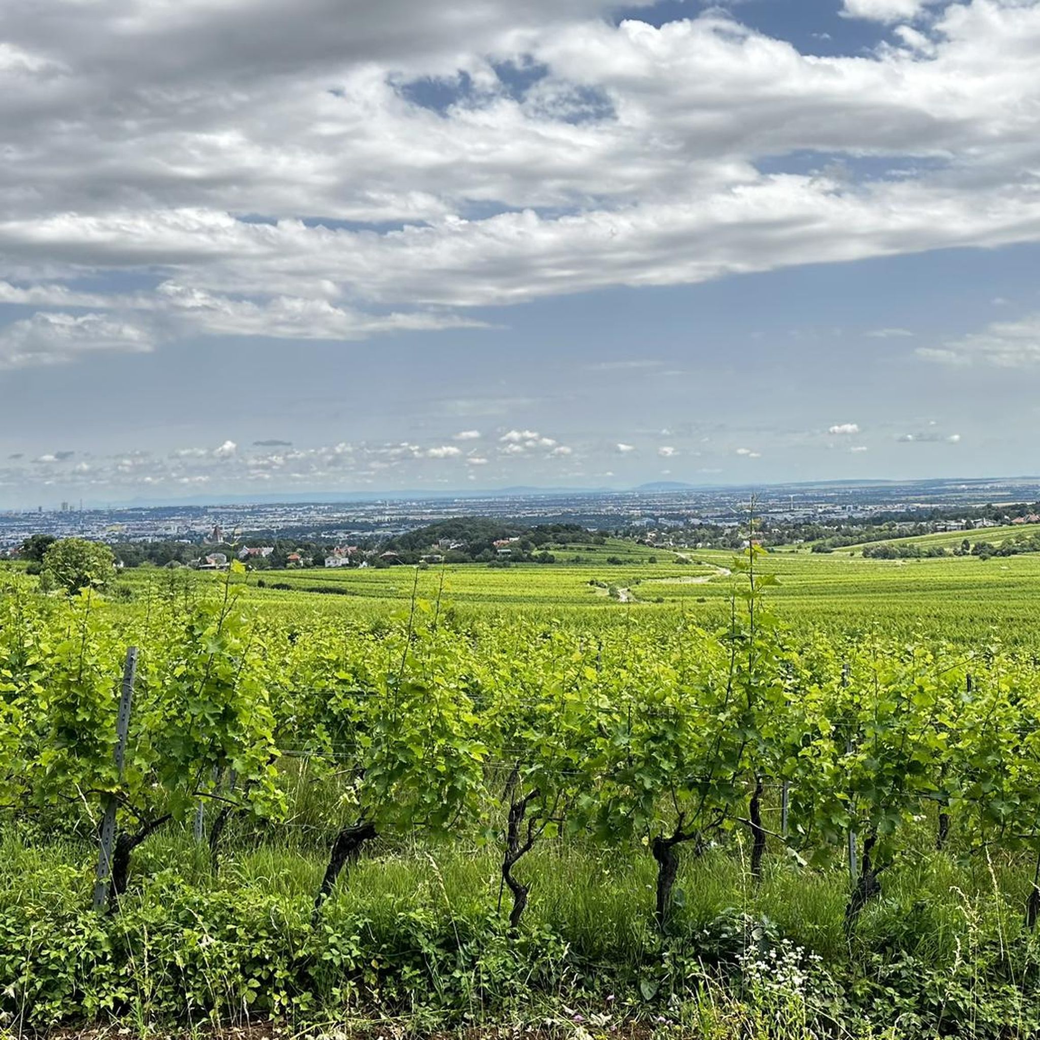
Gravel biking around Kaltenleutgeben offers diverse terrain within the Vienna Woods and the Föhrenberge Nature Park. The region is characterized by extensive forests, including black pines and beech, alongside gentle hills and dry grasslands. Gravel bike trails in this area combine asphalt, forest roads, gravel paths, and unpaved sections, providing varied surfaces for cycling. This landscape is shaped by the Liesingbach stream's wooded valley and offers a mix of natural features for outdoor pursuits.
Best gravel bike trails around Kaltenleutgeben
…Last updated: July 17, 2026
4.7
(59)
253
riders
37.2km
03:15
640m
640m
Hard gravel ride. Very good fitness required. Mostly paved surfaces. Suitable for all skill levels.
5.0
(8)
34
riders
86.3km
07:34
1,650m
1,650m
Hard gravel ride. Very good fitness required. You may need to push your bike for some segments of this route.

Sign up for free
2
riders
128km
11:12
2,260m
2,260m
This difficult 79.8-mile gravel biking loop from Vienna Liesing explores the Wienerwald, featuring diverse terrain and scenic views.
4.8
(56)
243
riders
Hard gravel ride. Very good fitness required. Mostly paved surfaces. Suitable for all skill levels.
4.7
(10)
21
riders
23.7km
01:47
480m
480m
Hard gravel ride. Very good fitness required. Mostly paved surfaces. Suitable for all skill levels.
Get access to more routes and recommendations from other explorers.
Sign up for free
Already have an account?
Our route recommendations are based on thousands of hikes, rides, and runs completed by other people on komoot.
Start today with a free account
Your next adventure awaits.
Login or Signup
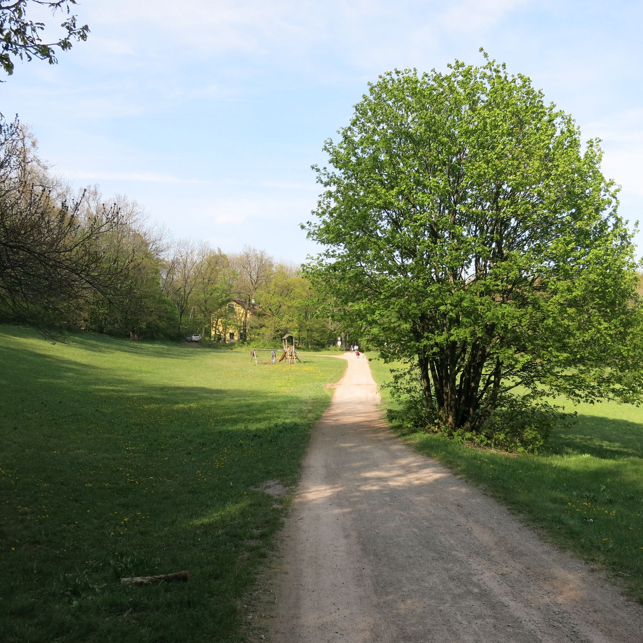
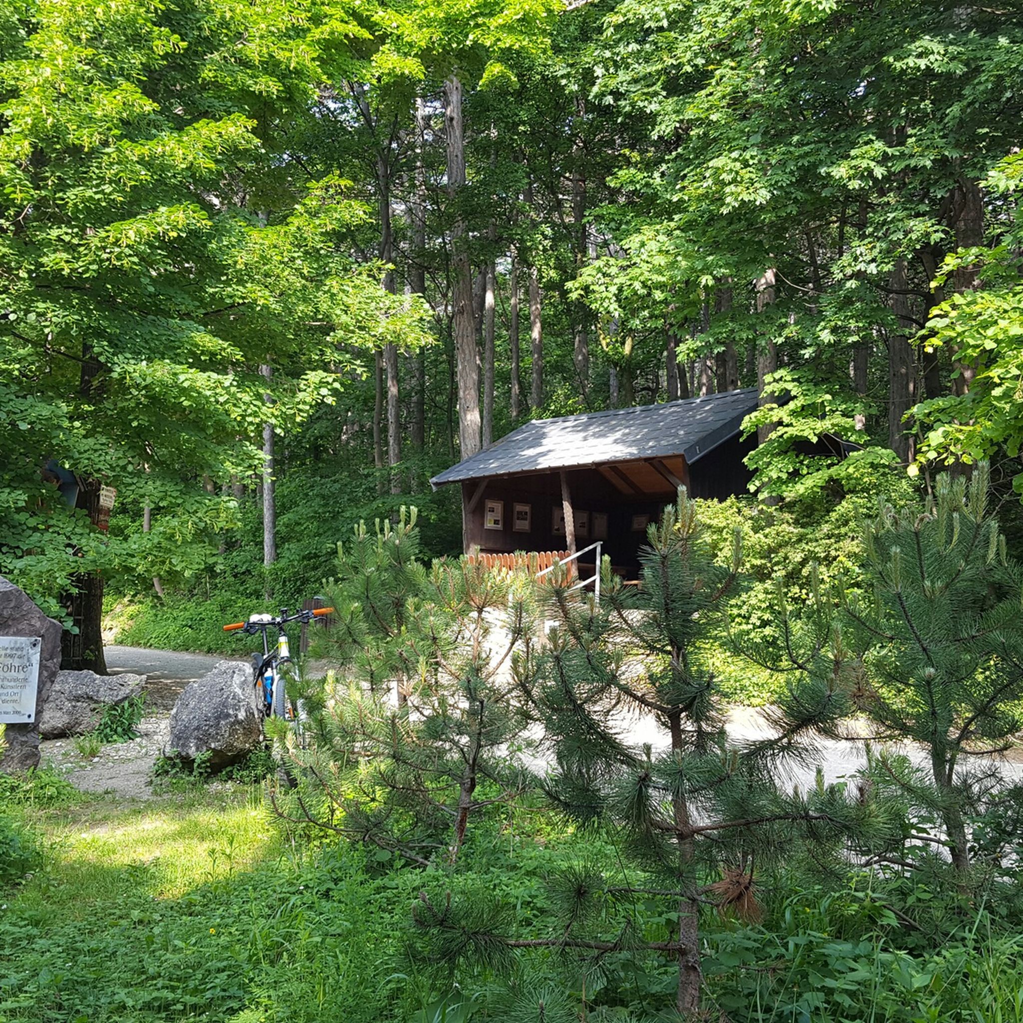
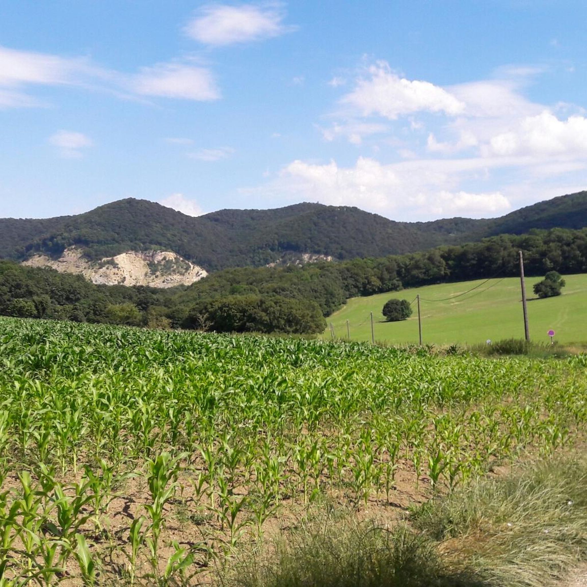
Tips from the Community

Absolute dream, beautiful spot with a great view - perfect for taking a break, briefly recharging your batteries, and consciously immersing yourself in the symphony of the forest 💚
0
0

This section of the route can be easily ridden with wider tires; a mountain bike is not necessary.
1
0

Very nice area for road cycling
0
0

The Matraswarte is a 17-meter-high steel structure that adorns the summit of the Schöpfl, the highest elevation in the Vienna Woods. It stands on the border of the communities of Altenmarkt an der Triesting and Brand-Laaben and is the highest structure in the Vienna Woods. The observation tower offers a breathtaking panoramic view that stretches from Vienna's city center in the northeast to the Limestone Alps in the south. The climb to the Matraswarte is straightforward, as numerous hiking trails lead to the summit, making the place a popular destination for hikers of all ages. The panoramic view, which includes the Vienna Woods, the Alpine foothills and the Schneeberg, is a true highlight of the hike.
4
0

If you're planning to explore this area by bike, on a run, or while hiking, make sure to bring your own beer. The region is known for its stunning views and outdoor activities, but finding a good beer spot nearby can be a challenge. Packing your favorite brew ensures you can enjoy a well-deserved drink after your adventure!
0
0


one of the most remarkable climbs in the Vienna Woods in my opinion. At the top there is a beautiful view over Vienna
1
0

Beautiful, not too difficult gravel climb from the Sophienalpe towards Hohe Wand.
2
0
Frequently Asked Questions
How many gravel bike trails are available around Kaltenleutgeben?
Kaltenleutgeben offers a wide selection of gravel biking routes, with over 120 trails recorded on komoot. These routes cater to various skill levels, from moderate loops to more challenging rides with significant elevation gains.
What kind of terrain can I expect on gravel bike trails in Kaltenleutgeben?
The gravel bike trails in Kaltenleutgeben, nestled within the Vienna Woods and Föhrenberge Nature Park, feature diverse terrain. You'll encounter a mix of asphalt, forest roads, gravel paths, and unpaved sections, providing varied surfaces for an engaging ride. The landscape includes extensive forests, gentle hills, and dry grasslands.
Are there any family-friendly gravel bike routes in Kaltenleutgeben?
While many routes in Kaltenleutgeben are rated as difficult, there are still options suitable for families or those seeking a less strenuous ride. The region offers a variety of routes, including some moderate loops. It's always best to check the specific route details on komoot for distance, elevation, and terrain to ensure it matches your family's ability.
What are some notable natural features or viewpoints along the gravel trails?
The Föhrenberge Nature Park, surrounding Kaltenleutgeben, is rich in natural beauty. You can explore areas like the Kleiner See Kaltenleutgeben – Flössl Quarry Pond and the vibrant Seewiesen. The Karlsquelle, a natural spring, is another point of interest. For panoramic views, consider routes that pass by the Höllensteinhaus, which offers a viewing platform, or the Rudolfshöhe Lookout Tower.
What do other gravel bikers say about the trails in Kaltenleutgeben?
The gravel biking routes around Kaltenleutgeben are highly regarded by the komoot community, boasting an average rating of 4.6 stars from over 480 reviews. Riders frequently praise the diverse terrain, the scenic beauty of the Vienna Woods, and the well-maintained forest roads that make for an enjoyable experience.
Are there any challenging gravel routes for experienced riders?
Yes, Kaltenleutgeben offers several challenging routes for experienced gravel bikers. For instance, the Sulz-Runde - Graveling around Vienna is a difficult 37.2 km trail with significant elevation gain. Another demanding option is the Schöpfl-Runde - Graveling around Vienna, which spans 86.3 km and explores extensive forests with substantial climbs.
Can I access the gravel trails using public transport?
Kaltenleutgeben is located southwest of Vienna, making it accessible. While specific public transport connections to trailheads vary, the region's proximity to Vienna suggests options for reaching the area. It's advisable to check local public transport schedules and bike carriage policies for the most convenient access points to the trails.
Are there any historical or cultural landmarks to see while gravel biking?
Beyond its natural beauty, Kaltenleutgeben offers cultural and historical points of interest. You might encounter the Baroque Pfarrkirche St. Jakob, built in 1730, or admire several 19th-century villas and the more than 100-year-old town hall. For specific landmarks along routes, consider exploring highlights like the Husar Temple or the Sina Warte Observation Tower.
What is the best time of year for gravel biking in Kaltenleutgeben?
The region's extensive forests and varied terrain make it enjoyable for gravel biking across multiple seasons. Spring and autumn generally offer pleasant temperatures and vibrant scenery. Summer can be great, especially in the shaded forest sections, while winter might offer unique experiences, though trail conditions could be more challenging due to snow or ice. Always check local weather and trail conditions before heading out.
Are there any long-distance gravel tours starting from or passing through Kaltenleutgeben?
Yes, for those seeking a longer adventure, the Wienerwald Grand Tour is a significant option. This challenging route covers 128.4 km, leading through the heart of the Vienna Woods and Föhrenberge Nature Park, and typically takes around 11 hours to complete.
Are there any circular gravel routes available?
Many of the gravel routes in Kaltenleutgeben are designed as loops, allowing you to start and end at the same point. An example is the Jägerwiese – Wiener Hütte Parking Lot loop from Breitenfurt bei Wien, which is a 23.7 km difficult route. This design is convenient for day trips and exploring the diverse landscapes without retracing your steps.
Where can I find parking for gravel biking in Kaltenleutgeben?
While specific parking locations are not detailed for every trailhead, many routes, especially those starting from towns or popular recreational areas, will have designated parking facilities. For example, the Jägerwiese – Wiener Hütte Parking Lot loop explicitly mentions a parking lot in its name, indicating convenient access. It's recommended to check the starting points of individual komoot tours for parking information.
Most popular routes around Kaltenleutgeben
Most popular attractions around Kaltenleutgeben

Get inspired with the komoot mobile app


Explore more
Browse the best Gravel rides in other regions.
