The best gravel rides around Longuich
4.5
(72)
441
riders
46
rides
Gravel biking around Longuich offers diverse terrain within the picturesque Moselle Valley. The region features vineyard-covered hills, riverside paths along the Moselle River, and forested areas extending into the Hochwald. This landscape provides a mix of challenging climbs and scenic trails, combining paved surfaces with gravel paths for varied riding experiences.
Best gravel bike trails around Longuich
- The most popular gravel bike trail is Riveris Dam – Ruwer-Hochwald Cycle Path loop from Ruwer, a 21.0 miles (33.8 km) trail…
Last updated: July 2, 2026
4.4
(7)
37
riders
29.8km
01:54
340m
340m
Moderate gravel ride. Good fitness required. Mostly paved surfaces. Suitable for all skill levels.
4.8
(4)
15
riders
33.8km
02:28
570m
570m
Hard gravel ride. Very good fitness required. Mostly paved surfaces. Suitable for all skill levels.

Sign up for free
10
riders
Hard gravel ride. Very good fitness required. Mostly paved surfaces. Suitable for all skill levels.
5.0
(4)
12
riders
39.5km
02:43
670m
670m
Hard gravel ride. Very good fitness required. You may need to push your bike for some segments of this route.
5.0
(1)
9
riders
49.8km
03:36
810m
810m
Hard gravel ride. Very good fitness required. Mostly paved surfaces. Suitable for all skill levels.
Get access to more routes and recommendations from other explorers.
Sign up for free
Already have an account?
Our route recommendations are based on thousands of hikes, rides, and runs completed by other people on komoot.
Start today with a free account
Your next adventure awaits.
Login or Signup
Other adventures around Longuich

Tips from the Community

The Kallenbach flows into the Missrlbach a little above and then supplies the Riveristalsperre with its water
1
0

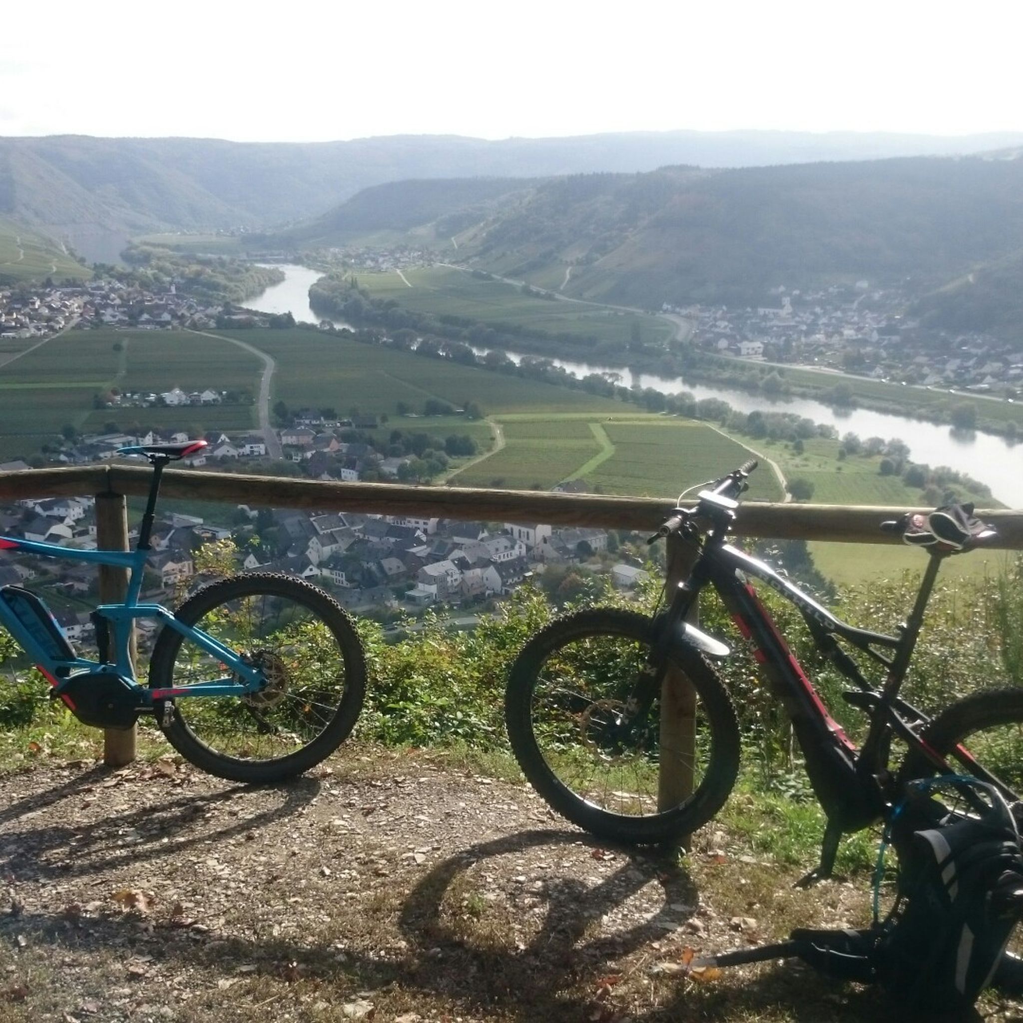
Nice view. Especially beautiful in the evening hours at sunset.
1
0

A trip to Rammstein Castle in the Kyll Valley is worthwhile. The castle is a lovely place to stop for a bite to eat!
0
0

Anyone interested in castle ruins should take the relatively easy detour from the Kylltal cycle path.
0
0

From now on about 52 km a beautiful cycle path
0
0

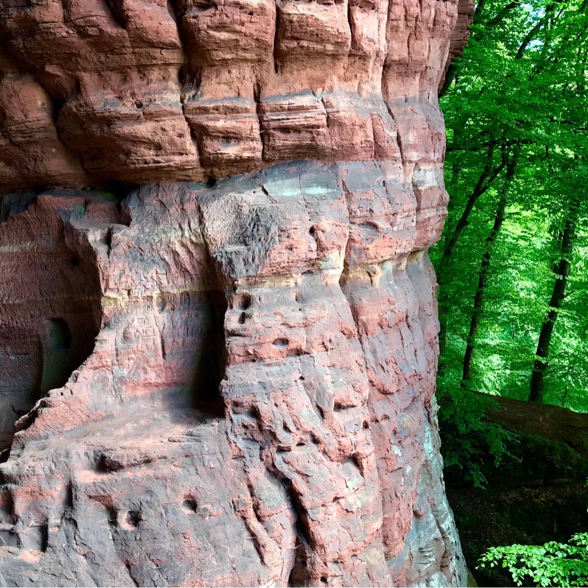
The Ramstein castle ruin is located on a roughly 182-meter-high colourful sandstone rock. Originally, it was created in the 10th century as a fortified farmstead and was expanded in the course of the 14th century into a feudal castle of the Electorate of Trier. Today, the approximately 25-meter-high residential tower on the west side, as well as parts of the still towering ring walls, are mainly preserved. These still show recognizable architectural details such as seating niches, fireplaces, and remains of spiral staircases.
38
0

Very nice view of Mehring.
0
0
Frequently Asked Questions
How many gravel bike trails are available around Longuich?
There are over 70 gravel bike trails around Longuich documented on komoot. These routes offer a diverse range of experiences, from moderate rides to more challenging trails, catering to various skill levels.
What kind of terrain can I expect on gravel bike trails near Longuich?
The terrain around Longuich is quite varied, offering a mix of vineyard-covered hills, scenic riverside paths along the Moselle, and forested areas extending into the Hochwald. You'll encounter both paved surfaces and gravel paths, providing a dynamic riding experience with options for challenging climbs and more relaxed sections.
Are there any family-friendly gravel biking options in the Longuich area?
While many routes in the immediate Longuich area are rated moderate to difficult, the broader Moselle Valley offers sections of the Moselle Cycle Path that are mostly flat and well-maintained, making them suitable for families. For specific gravel routes, it's best to check individual tour details for elevation and surface type to ensure they match your family's skill level.
What are some notable landmarks or attractions I can see along the gravel bike routes?
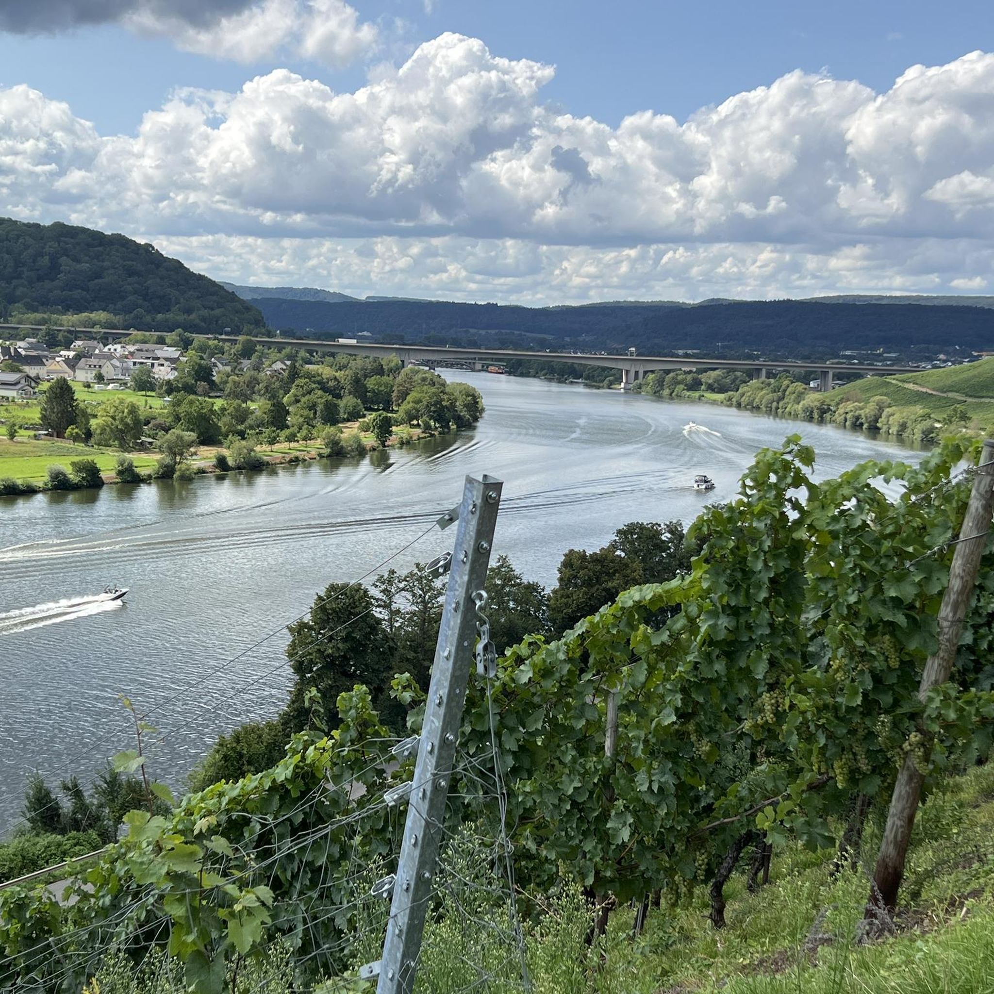
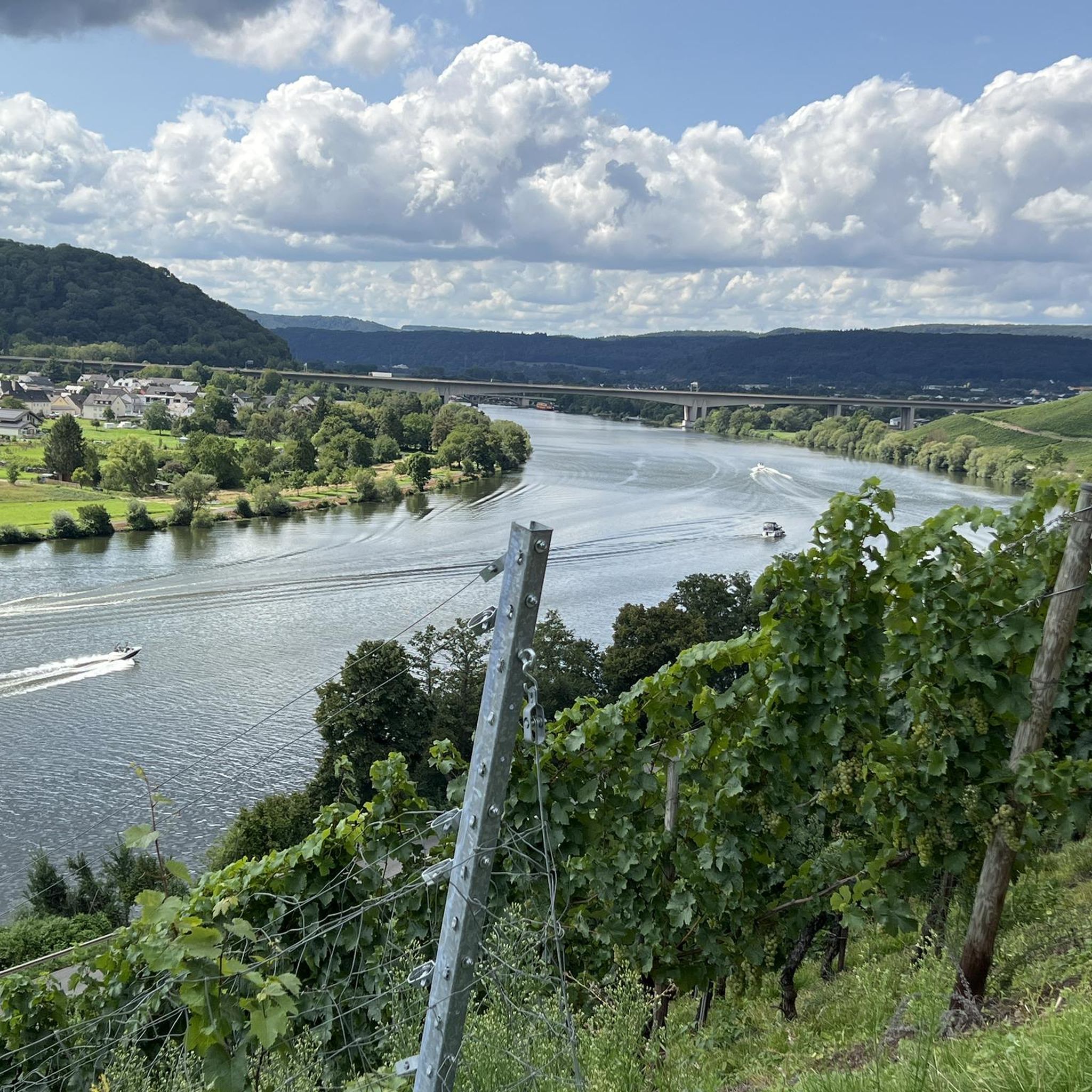
Many routes offer stunning views and pass by historical sites. You might encounter highlights such as the View of the Moselle Vineyards, or cycle near the Moselle Cycle Path Near Riol. Further afield, you could explore historical sites like the Porta Nigra or the Electoral Palace and Palace Garden, Trier.
Are there any circular gravel bike routes around Longuich?
Yes, many of the gravel routes in the Longuich area are designed as loops. For example, the difficult Riveris Dam – Ruwer-Hochwald Cycle Path loop from Ruwer offers varied terrain, while the moderate Moselle Bridge at Leiwen – Huxlay Hut and Viewpoint loop from Riol provides a shorter, scenic option.
What is the best time of year for gravel biking in Longuich?
The Moselle Valley, including Longuich, is beautiful for gravel biking from spring through autumn. The vineyards are lush in summer and vibrant in autumn. While winter riding is possible, be prepared for colder temperatures and potentially wet or icy conditions on some paths, especially in forested or higher elevation areas like the Hochwald.
How can I access the gravel bike trails around Longuich using public transport?
Longuich is connected to broader cycling networks, and nearby towns like Schweich and Trier have train stations (e.g., Schweich DB). Some routes, like the difficult Trailpark Mehring Mosel – Felsenkreuz Viewpoint Mehring loop from Schweich DB, start from public transport hubs, making it convenient to reach trails without a car. Always check local public transport schedules and bike carriage policies.
Where can I find parking for gravel biking in Longuich?
Parking is generally available in Longuich and surrounding villages. Many trailheads or starting points for routes will have designated parking areas. For routes starting from towns like Ruwer or Schweich, you can often find parking near the train stations or in public car parks, though it's always good to check specific route descriptions for recommended parking spots.
Are there any routes that offer cafes or restaurants along the way?
Cycling through the charming riverside towns and villages along the Moselle often provides opportunities for breaks at cafes and restaurants. While specific routes aren't designed solely around eateries, many pass through or near places where you can stop for refreshments. Planning your route with komoot allows you to see points of interest, including cafes, along your chosen path.
What do other gravel bikers enjoy most about the Longuich area?
The Longuich area is highly rated by the komoot community, with an average score of 4.5 stars from over 70 reviews. Riders frequently praise the diverse terrain, combining scenic vineyard views with challenging forest sections, and the well-maintained paths that offer a varied and engaging gravel biking experience.
Are there any beginner-friendly gravel bike routes in Longuich?
While many routes are rated moderate to difficult, the region's diverse terrain means there are options for varying skill levels. Beginners might look for routes with less elevation gain, particularly those sticking closer to the Moselle River, which tends to offer flatter sections. Always check the difficulty grade and elevation profile on komoot before setting out.
Can I expect challenging climbs on gravel bike trails around Longuich?
Absolutely. The region, especially towards the Hochwald and Ruwer Valley, is known for its challenging gravel routes with significant elevation gains. Routes like the difficult View of the Moselle River Bend – View of the Moselle Vineyards loop from Trier Hafenstraße, with over 450 meters of ascent, offer plenty of climbing for experienced riders.
Most popular attractions around Longuich

Get inspired with the komoot mobile app


Explore more
Browse the best Gravel rides in other regions.
