The best gravel rides around Hinterweidenthal
4.8
(112)
602
riders
59
rides
Gravel biking around Hinterweidenthal offers routes through the Palatinate Forest and the Dahner Felsenland, characterized by unique red sandstone rock formations and dense woodlands. The region features varied terrain, including unpaved roads, forest trails, and gravel paths, suitable for gravel bikes. Idyllic valleys, such as the Wieslauter valley, and numerous medieval castles perched on sandstone cliffs, provide both natural beauty and historical interest along the trails.
Best gravel bike trails around Hinterweidenthal
- The most popular gravel bike trail is Devil's…
Last updated: October 19, 2026
4.6
(24)
122
riders
51.1km
03:06
620m
620m
Hard gravel ride. Very good fitness required. Mostly paved surfaces. Suitable for all skill levels.
4.5
(4)
21
riders
Hard gravel ride. Very good fitness required. Mostly paved surfaces. Suitable for all skill levels.

4.5
(18)
76
riders
46.1km
03:01
720m
720m
Hard gravel ride. Very good fitness required. Mostly paved surfaces. Suitable for all skill levels.
4.8
(23)
75
riders
32.0km
01:53
370m
370m
Moderate gravel ride. Good fitness required. Mostly paved surfaces. Suitable for all skill levels.
4.6
(5)
37
riders
41.4km
02:29
510m
510m
Hard gravel ride. Very good fitness required. Mostly paved surfaces. Suitable for all skill levels.
Get access to more routes and recommendations from other explorers.
Already have an account?
Our route recommendations are based on thousands of hikes, rides, and runs completed by other people on komoot.
Start today with a free account
Your next adventure awaits.
Popular around Hinterweidenthal
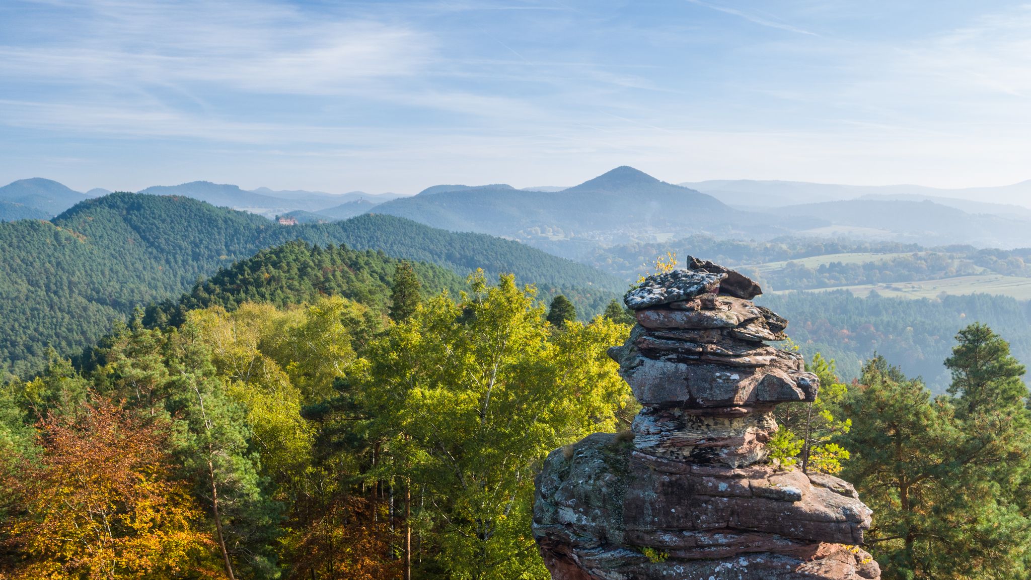
Palatinate hiking menu — day and half day hikes
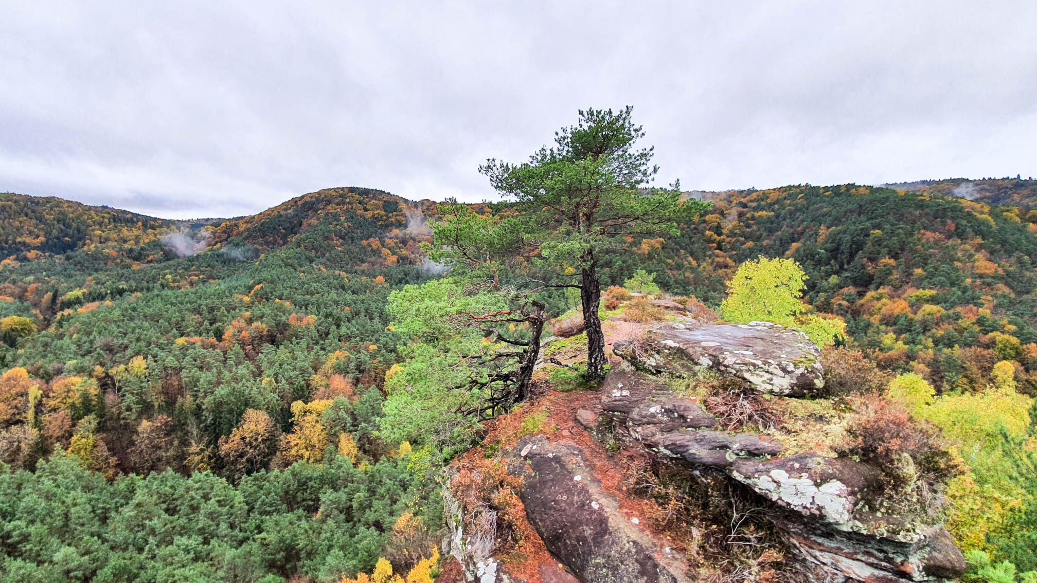
Colourful views — autumnal hikes in the Palatinate Forest
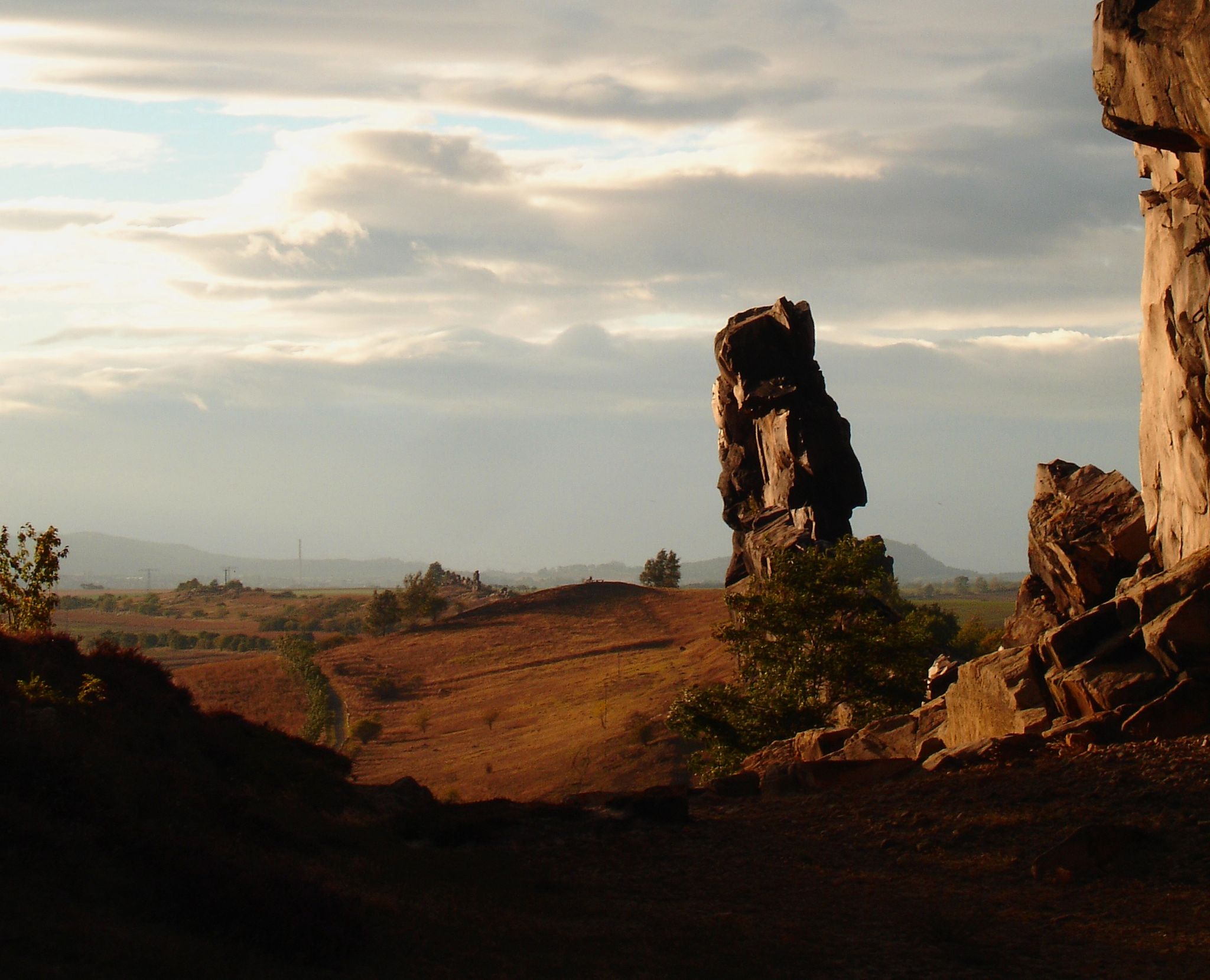
Devilish places
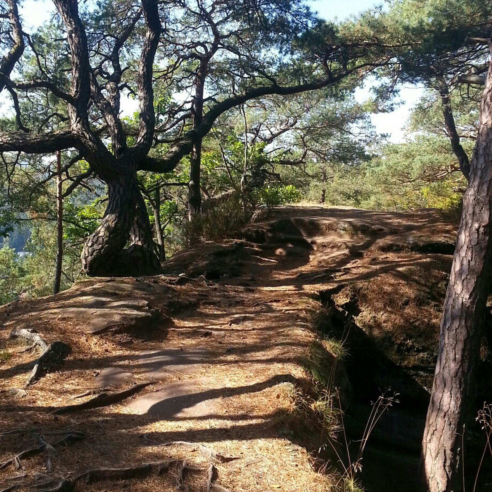
Hiking around Hinterweidenthal
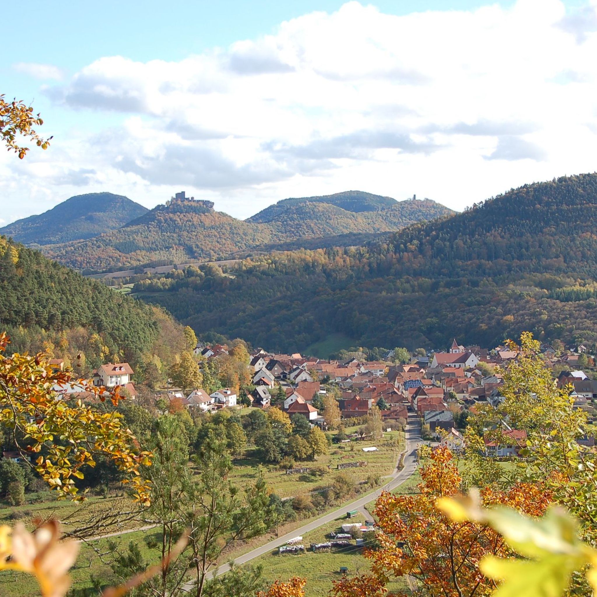
Cycling around Hinterweidenthal
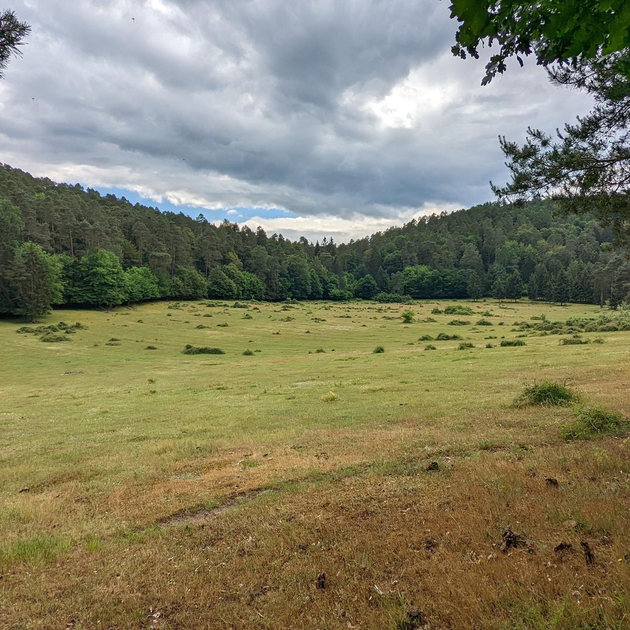
Road Cycling Routes around Hinterweidenthal
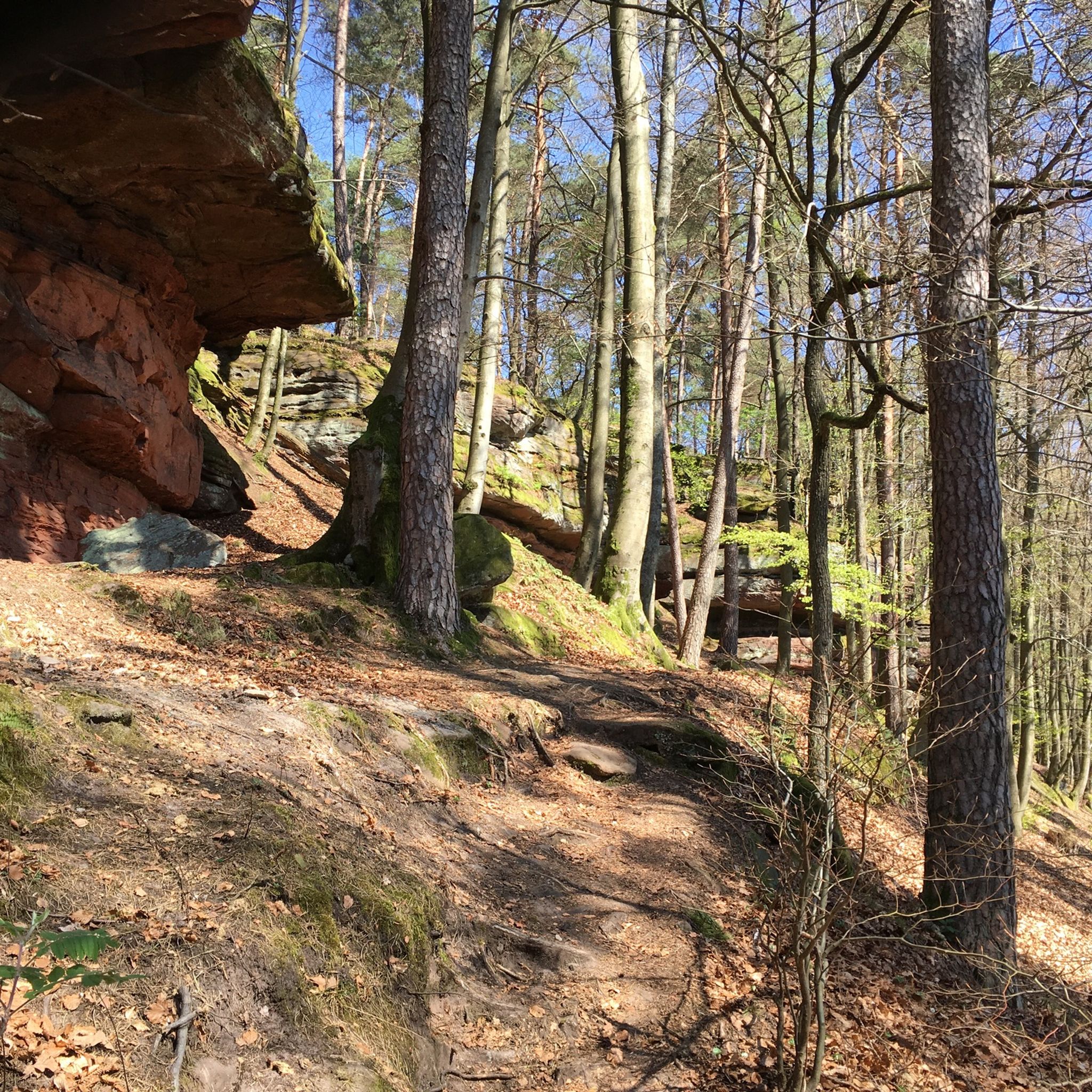
MTB Trails around Hinterweidenthal
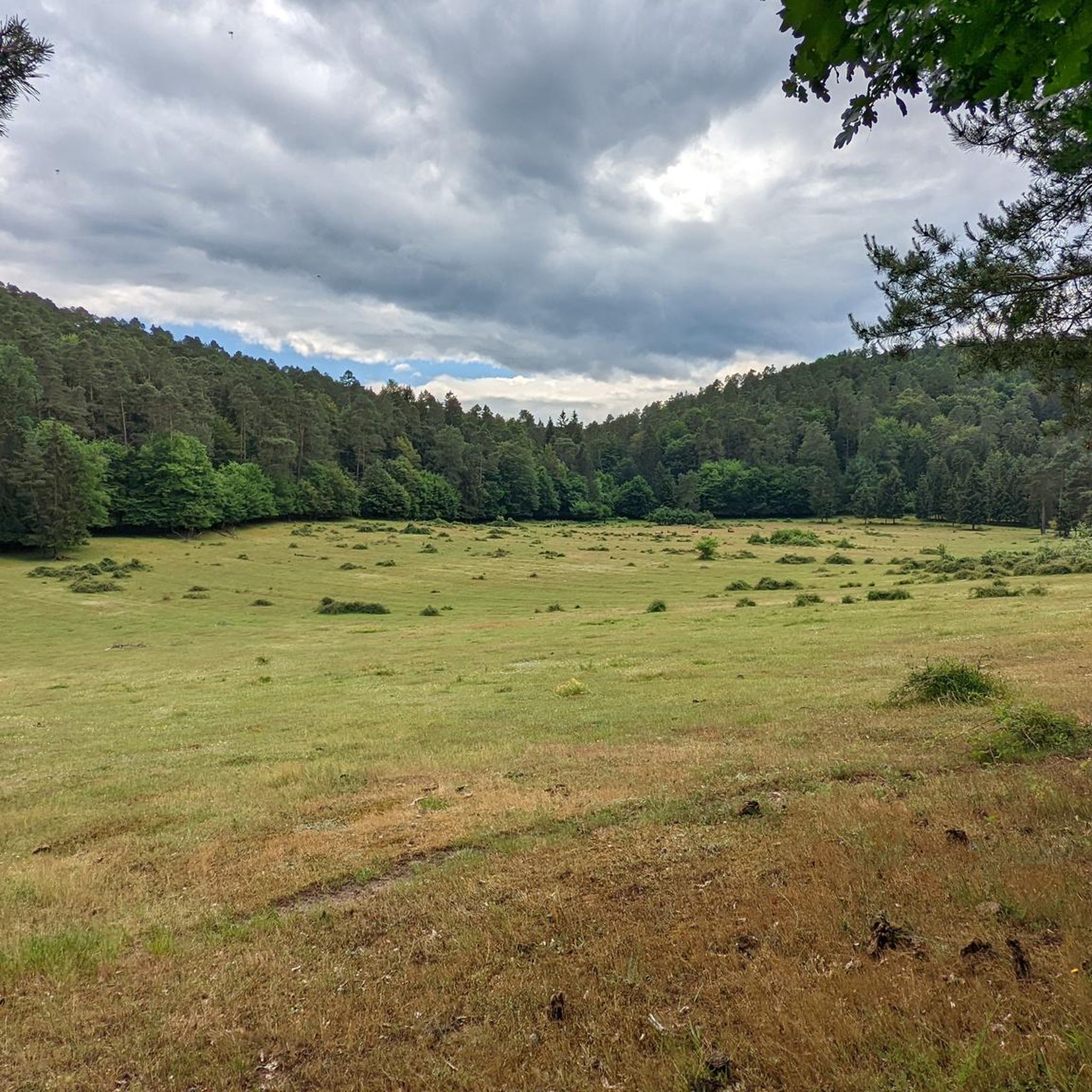
Running Trails around Hinterweidenthal
Mountain Hikes around Hinterweidenthal


Tips from the Community

Easy-to-ride trail that is not a challenge even on a gravel bike and offers a welcome change from the forest highways.
0
0

The well-attended Paddelweiher hut has a great beer garden with a lake view. The prices are reasonable. The coffee was good and the plum cake was also impressive and tasty. Attention ⚠️ No card payment possible. The saying still holds true here: Cash is king!
7
0

Interesting hut for resting
0
0

https://paddelweiher.de/Speisen-Getraenke/ A good opportunity to take a break.
0
0

A beautiful excursion spot for the whole family. Pedal boat and refreshment stop.
2
0

My favorite section of the route! For a few minutes, you're in the Shire of the Hobbits. Sunny valley, no cars, and lots of peace!
0
0

The Jungfernsprung. An imposing viewing rock and visible from afar.
3
0

A somewhat dilapidated rest bench, which however gets nice shade in the afternoon from two walnut trees. A small peach tree has been newly planted. Great view over the sea of vines to the Kleine Kalmit (left), across the Rhine plain to the Odenwald and to the hotel „Leinsweiler Hof“ (top right).
1
0
Frequently Asked Questions
What kind of terrain can I expect on gravel bike trails around Hinterweidenthal?
The region offers a diverse mix of unpaved roads, forest trails, and gravel paths, perfectly suited for gravel bikes. You'll encounter the unique red sandstone rock formations of the Dahner Felsenland, dense woodlands, and idyllic valleys like the Wieslauter valley. This varied terrain provides an engaging experience for cyclists.
How many gravel bike routes are available in the Hinterweidenthal area?
There are over 90 gravel bike routes available around Hinterweidenthal. These range from easy to difficult, ensuring options for various skill levels and preferences.
Are there any easy gravel bike trails suitable for beginners or families?
Yes, while many routes are moderate to difficult, there are a few easier options. For instance, the region offers 2 easy routes and 28 moderate routes. A good moderate option is the Berwartstein Castle – Drachenfels Castle near Busenberg loop from Dahn, which is 33.5 km long and combines forest trails with views of historic castles.
What are some notable landmarks or natural features I can see on a gravel bike tour?
The region is famous for its impressive red sandstone rock formations. You can cycle past the iconic Hühnerstein Summit, the Rötzen Cliffs, or the Schlüsselfels Summit on Heidenberg. Many routes also pass medieval castles perched on sandstone cliffs, such as Burg Berwartstein.
Are there any routes that feature waterfalls or interesting water features?
Yes, the area has several natural water features. You could explore routes near the Erfweiler Waterfall or the Wartenbach Waterfalls. The Devil's Rock Waterfall and Cave is another unique natural monument worth seeking out.
Can I find circular gravel bike routes around Hinterweidenthal?
Absolutely. Many of the gravel bike trails in the area are designed as loops, allowing you to start and end at the same point. An example is the challenging Devil's Table rock formation – Erfweiler Trail #2 loop from Hinterweidenthal Ort, which explores the distinctive red sandstone formations over 61.6 km.
What is the best time of year for gravel biking in Hinterweidenthal?
The Palatinate Forest region is generally enjoyable for gravel biking from spring through autumn. Spring brings lush greenery, while autumn offers vibrant foliage. Summer is also pleasant, especially in the shaded forest sections. Always check local weather conditions before heading out.
Are there any gravel bike routes that pass through valleys or along rivers?
Yes, the region features idyllic valleys. The Kaiserbach Valley – Wood Stop at Zollstock loop from Hauenstein Mitte is a 41.3 km trail that leads through the scenic Kaiserbach Valley, offering a different landscape experience.
What do other gravel bikers say about the trails in Hinterweidenthal?
The gravel biking routes around Hinterweidenthal are highly regarded by the komoot community, boasting an average rating of 4.8 stars from over 80 reviews. Cyclists often praise the varied terrain, the stunning red sandstone formations, and the opportunity to explore both natural beauty and historical sites.
Are there options for longer, more challenging gravel bike tours?
Yes, for experienced gravel bikers seeking a challenge, there are 61 difficult routes available. A demanding option is the Devil's Table rock formation – Beautiful View Eyberg Dahn loop from Ruppertsweiler, covering 53.4 km with significant elevation gain.
Where can I find parking for gravel bike trails in Hinterweidenthal?
Many trailheads and villages in the Palatinate Forest region offer designated parking areas for visitors. It's advisable to check the specific starting point of your chosen route on komoot for detailed parking information, as options can vary.
Are there any gravel bike routes that include historical castles?
The region is dotted with medieval castles, many of which are accessible by bike. The Berwartstein Castle – Drachenfels Castle near Busenberg loop from Dahn specifically includes views of historic castles like Burg Berwartstein, offering a cultural dimension to your ride.
What is the typical elevation gain on gravel bike routes in this area?
The elevation gain varies significantly depending on the route's difficulty and length. For example, a moderate route like the Nedingfels Rock Formation – Austraße Meadows on the River Queich loop from Hauenstein Mitte has about 317 meters of ascent, while more difficult routes can feature over 1000 meters of climbing.
Most popular routes around Hinterweidenthal
Most popular attractions around Hinterweidenthal

Get inspired with the komoot mobile app


Explore more
Browse the best Gravel rides in other regions.
