The best gravel rides around Balderschwang
4.5
(249)
1,511
riders
23
rides
Gravel biking around Balderschwang offers diverse landscapes within the Nagelfluhkette Nature Park, providing a unique alpine experience. The region features a mix of paved roads, gravel paths, and forest trails, catering to various skill levels. Riders can explore varied terrain, including challenging climbs and picturesque trails set against a backdrop of alpine scenery. This area is characterized by deep green mountain forests, vibrant alpine meadows, and distinctive rock formations.
Best gravel bike trails around Balderschwang
- The most popular gravel bike trail is Sibratsgfäll | Gravel bike | Vorderwald route, a 15.4 miles (24.7 km) trail that takes 3 hours 3 minutes to complete. This difficult route explores the Vorderwald region with significant elevation gain.
- Another top favourite among local gravel bikers is View from Hörnlepass – View over Oberstdorf loop from Riezlern, a difficult 22.9 miles (36.8 km) path. This loop navigates through mountain passes and offers expansive views.
- Local gravel bikers also love the Mittelberg High Trail – Bärguntal Valley loop from Riezlern, a 18.1 miles (29.1 km) trail leading through high trails and valleys, often completed in about 2 hours 17 minutes.
- Gravel biking around Balderschwang is defined by alpine meadows, dense forest trails, and scenic mountain passes. The network offers options for different ability levels, from moderate paths to challenging climbs.
- The routes in Balderschwang are highly rated by the komoot community with an average score of 4.5 stars from over 170 reviews. More than 1300 gravel bikers have used komoot to explore Balderschwang's varied terrain.
Last updated: October 19, 2026
3.7
(3)
20
riders
24.7km
03:04
740m
740m
Hard gravel ride. Very good fitness required. You may need to push your bike for some segments of this route.
4.8
(17)
71
riders
29.2km
02:18
890m
890m
Hard gravel ride. Very good fitness required. Mostly paved surfaces. Suitable for all skill levels.

4.5
(23)
58
riders
36.6km
02:46
990m
990m
Hard gravel ride. Very good fitness required. Mostly paved surfaces. Suitable for all skill levels.
4.4
(7)
50
riders
40.7km
03:07
1,260m
1,260m
Hard gravel ride. Very good fitness required. You may need to push your bike for some segments of this route.
3.8
(4)
17
riders
20.5km
01:21
430m
440m
Moderate gravel ride. Good fitness required. Mostly paved surfaces. Suitable for all skill levels.
Get access to more routes and recommendations from other explorers.
Already have an account?
Our route recommendations are based on thousands of hikes, rides, and runs completed by other people on komoot.
Start today with a free account
Your next adventure awaits.
Popular around Balderschwang
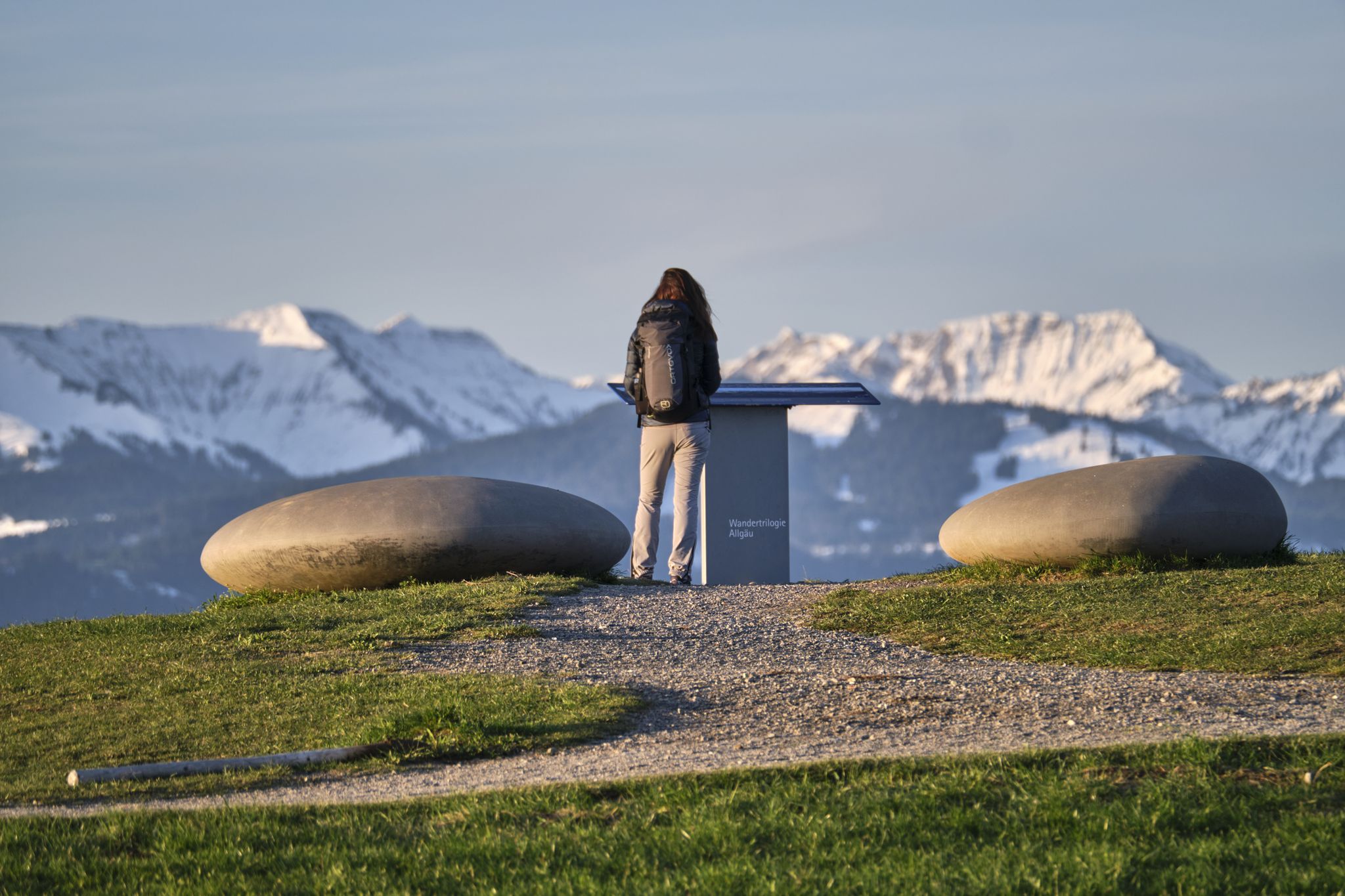
Experience history – hike the Trilogy Tours in Allgäu
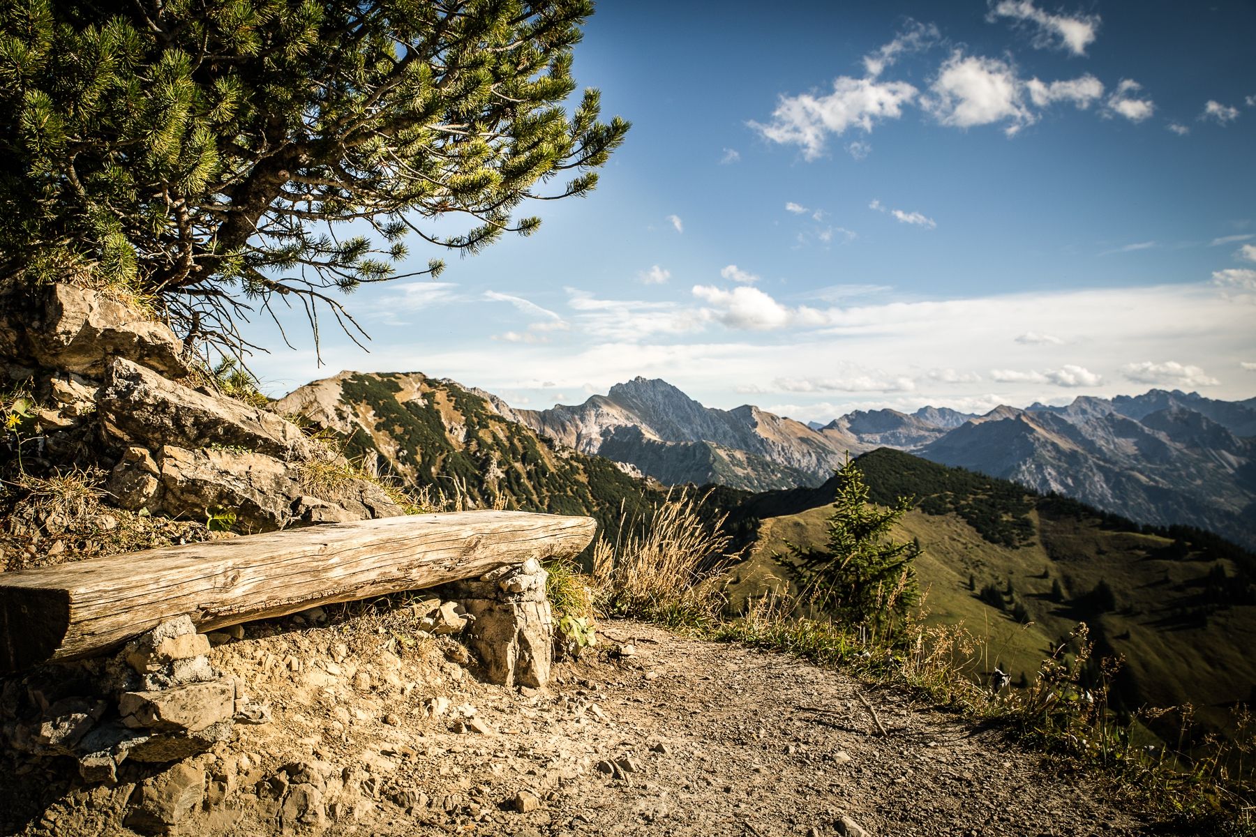
Climbing Alpine peaks on the Route to the Top – Allgäu hiking trilogy
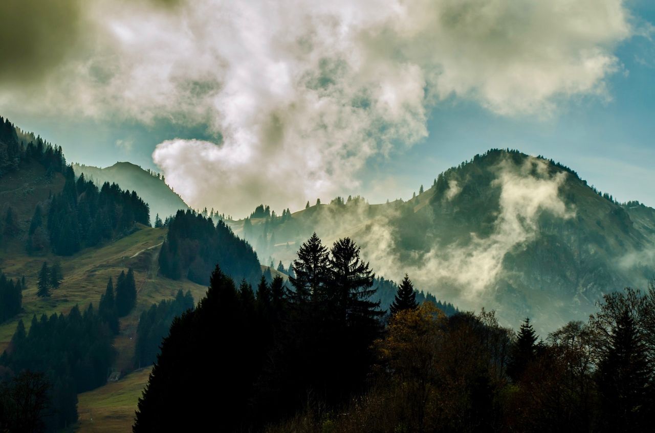
Allgäu pleasure peaks
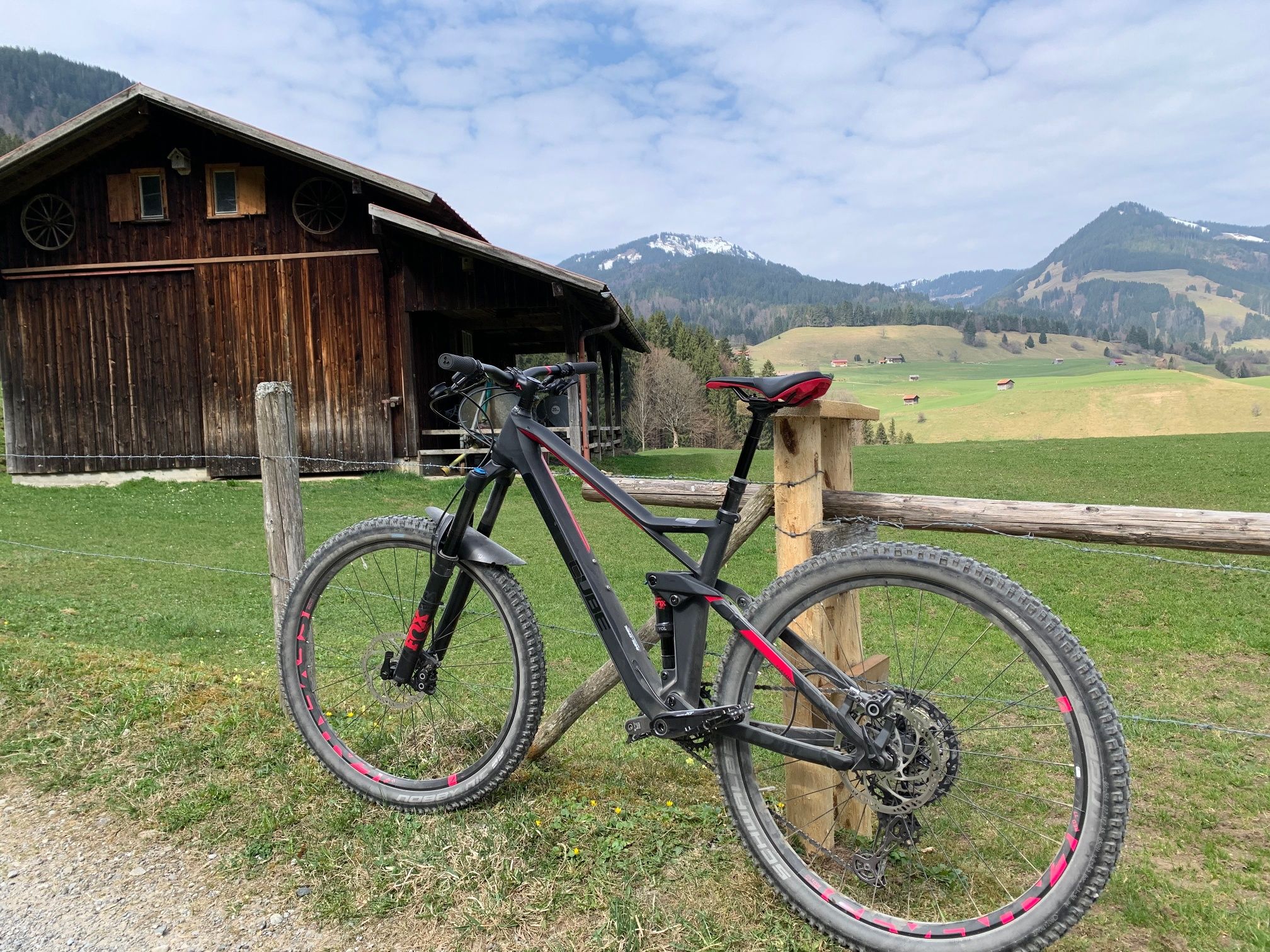
Hörnerdörfer - Radtouren
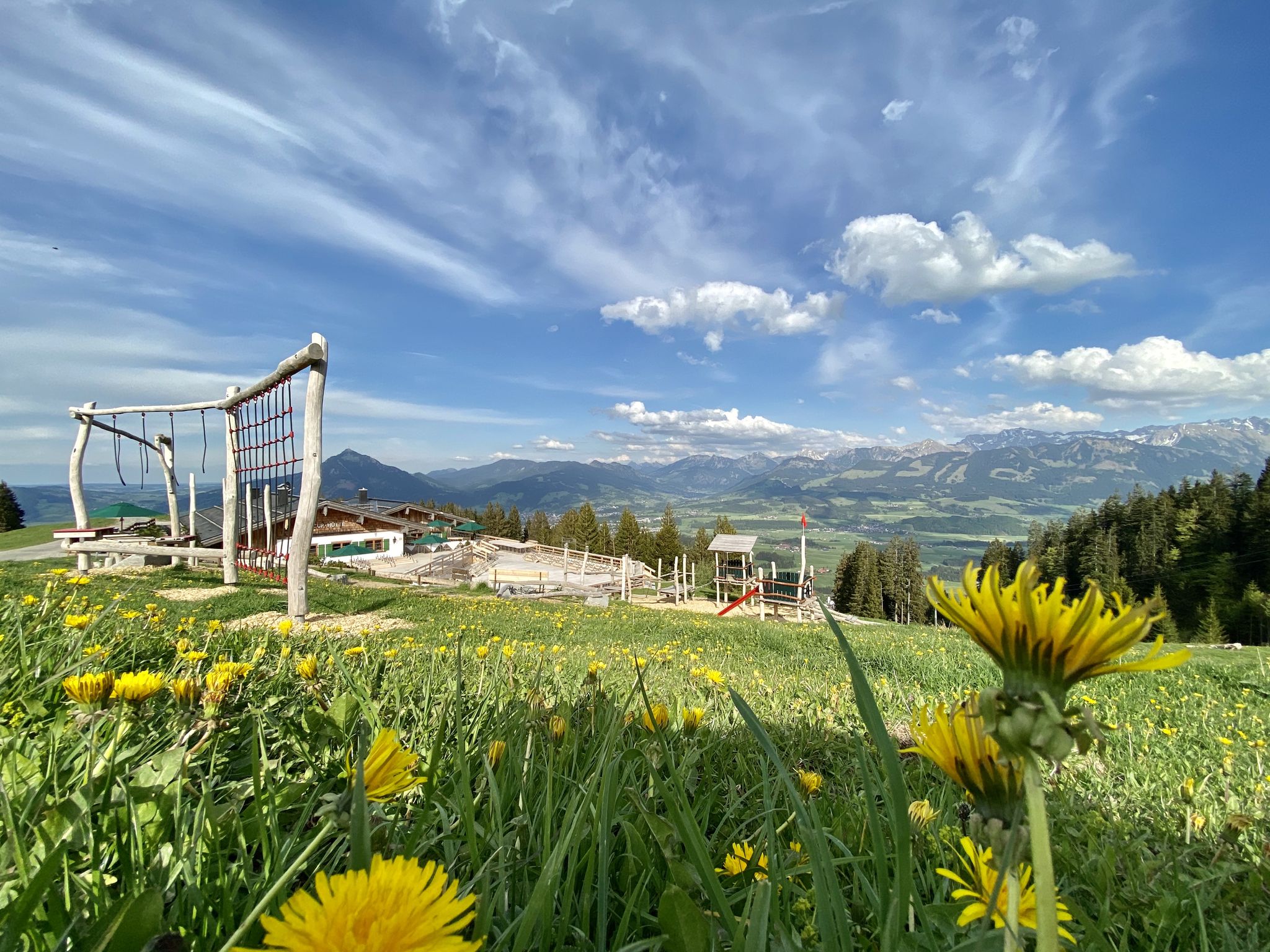
Hörnerdörfer - Themenwege
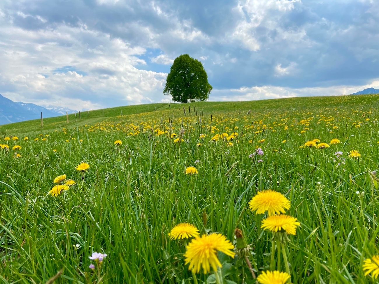
Hörnerdörfer - Idyllische Talwanderungen
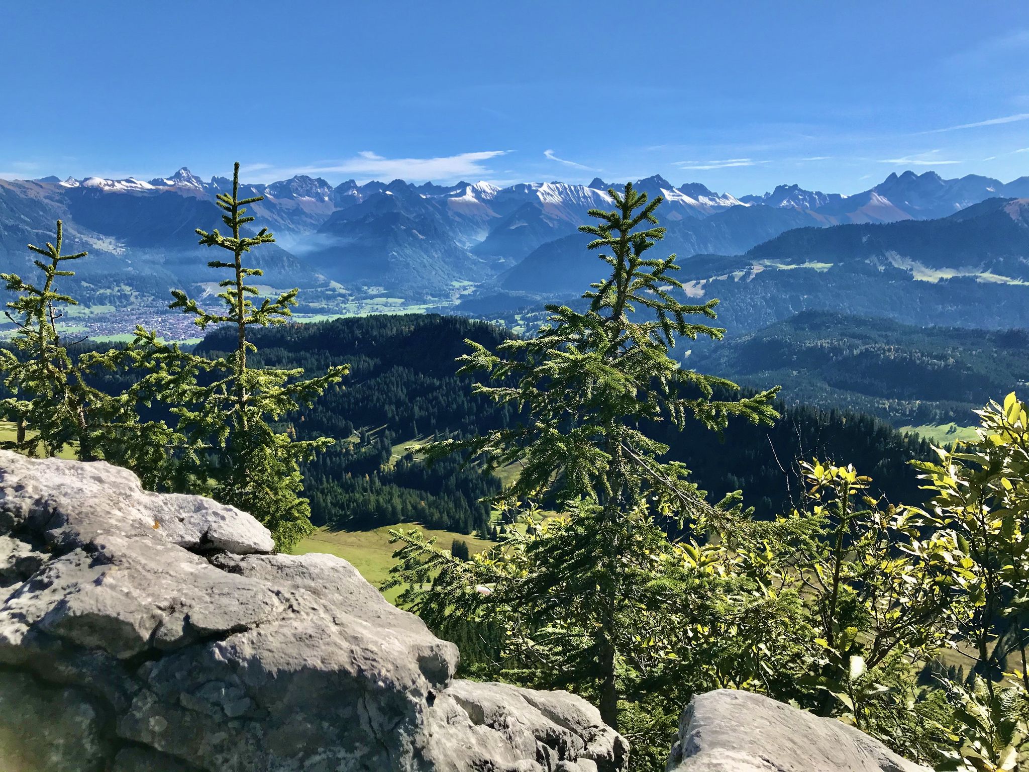
Hörnerdörfer - Aussichtsreiche Gipfelwanderungen
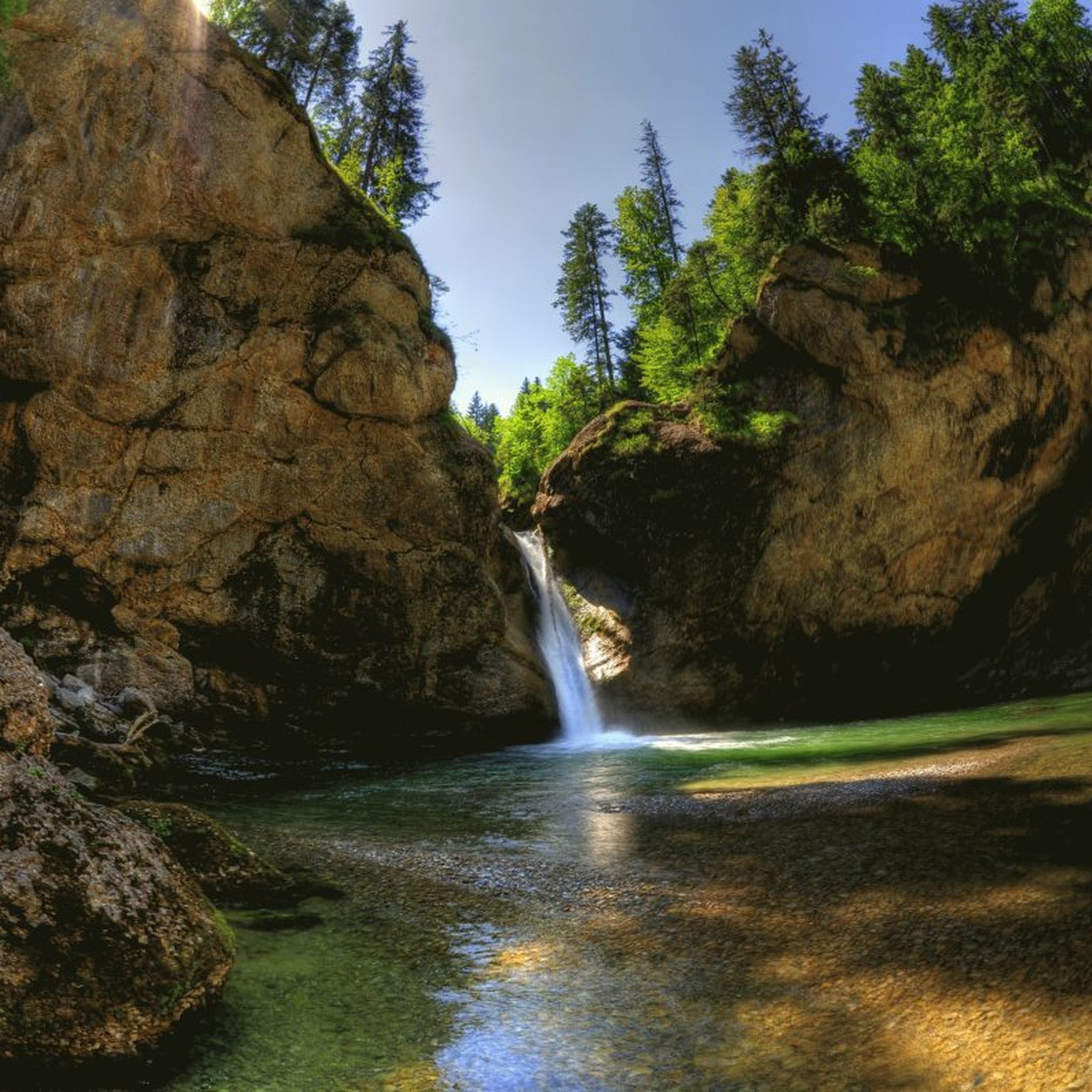
Hiking around Balderschwang
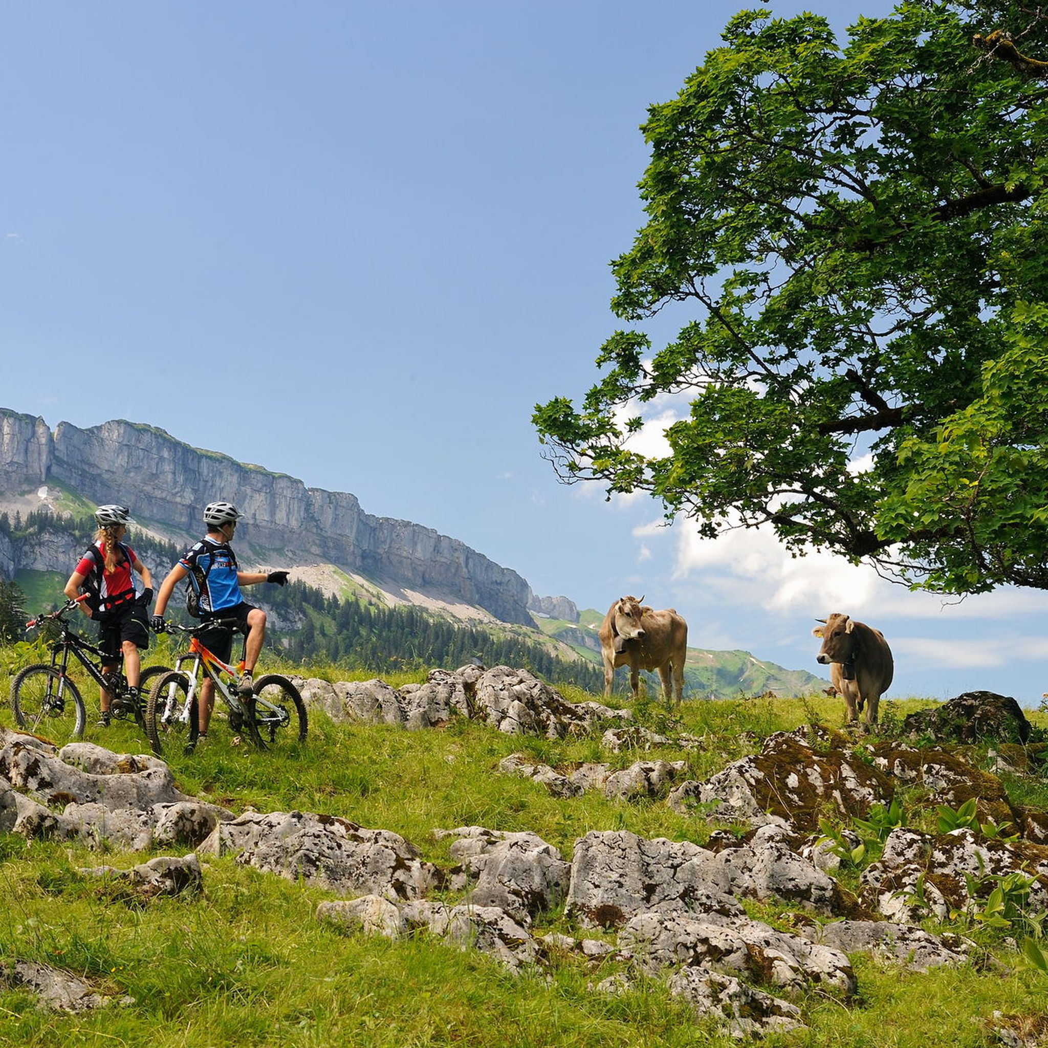
MTB Trails around Balderschwang
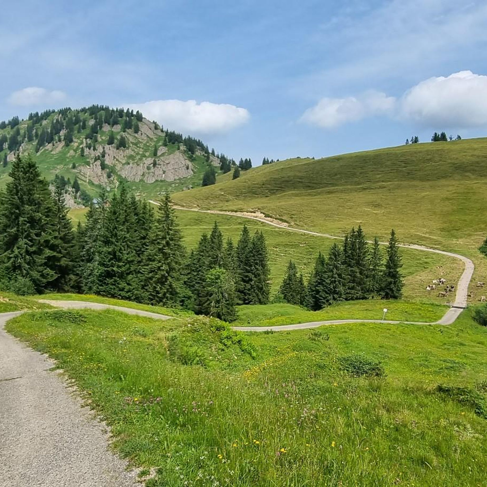
Road Cycling Routes around Balderschwang
Other adventures around Balderschwang


Tips from the Community


A fantastically beautiful area, a tour here is really great.
0
0
Grandiose beautiful area in which it is pleasant to hike or also to cycle.
0
0
Super beautiful surroundings here, where you can do many beautiful hikes or bike tours.
0
0

It's also good to do with a touring bike, no matter what, as long as it's fun.
0
0
The Hörnlepass by bike is a delight. Always beautiful views and beautiful nature.
0
0

The view is always breathtakingly beautiful
0
0
Frequently Asked Questions
How many gravel bike trails are available in Balderschwang?
Balderschwang offers over 35 gravel bike trails. You'll find a wide range of options, including 2 easy routes, 9 moderate routes, and 24 challenging routes, ensuring there's something for every skill level.
What kind of terrain can I expect on gravel bike trails in Balderschwang?
The terrain around Balderschwang is incredibly diverse, featuring a mix of paved roads, gravel paths, and forest trails. You'll encounter significant elevation changes, alpine meadows, dense forests, and scenic mountain passes, all within the stunning Nagelfluhkette Nature Park.
What natural attractions can I see while gravel biking in Balderschwang?
Many routes offer access to the region's natural wonders. You might pass by the impressive Breitach Gorge, known as Europe's deepest rocky gorge, or the powerful Buchenegger Waterfalls. The entire area is part of the Nagelfluhkette Nature Park, characterized by distinctive rock formations and high moors. You can also find highlights like views of Großer Alpsee.
Are there any loop routes for gravel biking in Balderschwang?
Yes, Balderschwang features several excellent loop routes. A popular choice is the Lochbachtal Valley – Rohrmoos Valley loop from Schlipfhalden, which covers 31.1 miles (50.1 km) and offers varied terrain through two distinct valleys. Another option is the View from Hörnlepass – View over Oberstdorf loop from Riezlern, a 22.9-mile (36.8 km) trail with expansive mountain views.
What do other gravel bikers say about the trails in Balderschwang?
The gravel biking routes in Balderschwang are highly rated by the komoot community, with an average score of 4.5 stars from over 270 reviews. Riders often praise the challenging climbs, picturesque trails, and the pristine alpine scenery of the Nagelfluhkette Nature Park.
What is the best time of year for gravel biking in Balderschwang?
The best time for gravel biking in Balderschwang is typically from late spring through early autumn (May to October). During these months, the weather is generally favorable, and the alpine meadows are vibrant. Some higher passes might still have snow early in the season, so always check conditions.
Are there any family-friendly gravel routes in Balderschwang?
While many routes in Balderschwang are rated moderate to difficult due to significant elevation gain, there are a couple of easier options available. It's best to check the specific route details on komoot for elevation profiles and terrain to ensure it suits your family's experience level. Look for routes with less climbing and smoother paths.
Can I bring my dog on the gravel bike trails?
Many trails in the Nagelfluhkette Nature Park are dog-friendly, but it's essential to keep your dog on a leash, especially in areas with livestock or wildlife. Always carry water for your dog and be mindful of their endurance on longer or more challenging routes. Check local regulations for specific trails.
Are there places to stop for refreshments or food along the trails?
Yes, the region has various alpine huts (Alpen) and small villages where you can find refreshments. While specific cafes might not be directly on every trail, many routes pass through or near areas where you can take a break and refuel. Planning your route with komoot can help identify such spots.
Is parking available for gravel bikers in Balderschwang?
Yes, Balderschwang and its surrounding areas offer various parking options, often near trailheads or in the villages. Many routes, like the Lecknertal Valley – Obere Wilhelmine Alpe loop, start from Balderschwang itself, where parking is usually available. It's advisable to check for designated parking areas before your ride.
Are there any viewpoints or scenic spots along the gravel routes?
Absolutely. The region is known for its breathtaking views. Routes often incorporate scenic mountain passes like the Sausteig Pass and Riedberg Pass, offering panoramic vistas. The View from Hörnlepass – View over Oberstdorf loop is specifically designed for expansive views. You can also find highlights like the View of Freibergsee.
How long are the gravel bike routes near Balderschwang?
The routes vary significantly in length. For example, the Sibratsgfäll | Gravel bike | Vorderwald route is about 15.4 miles (24.7 km), while the Lochbachtal Valley – Rohrmoos Valley loop extends to 31.1 miles (50.1 km). You'll find options ranging from shorter rides to full-day adventures.
Most popular routes around Balderschwang
Most popular attractions around Balderschwang

Get inspired with the komoot mobile app


Explore more
Browse the best Gravel rides in other regions.
