The best gravel rides in Schliersee
4.7
(104)
799
riders
19
rides
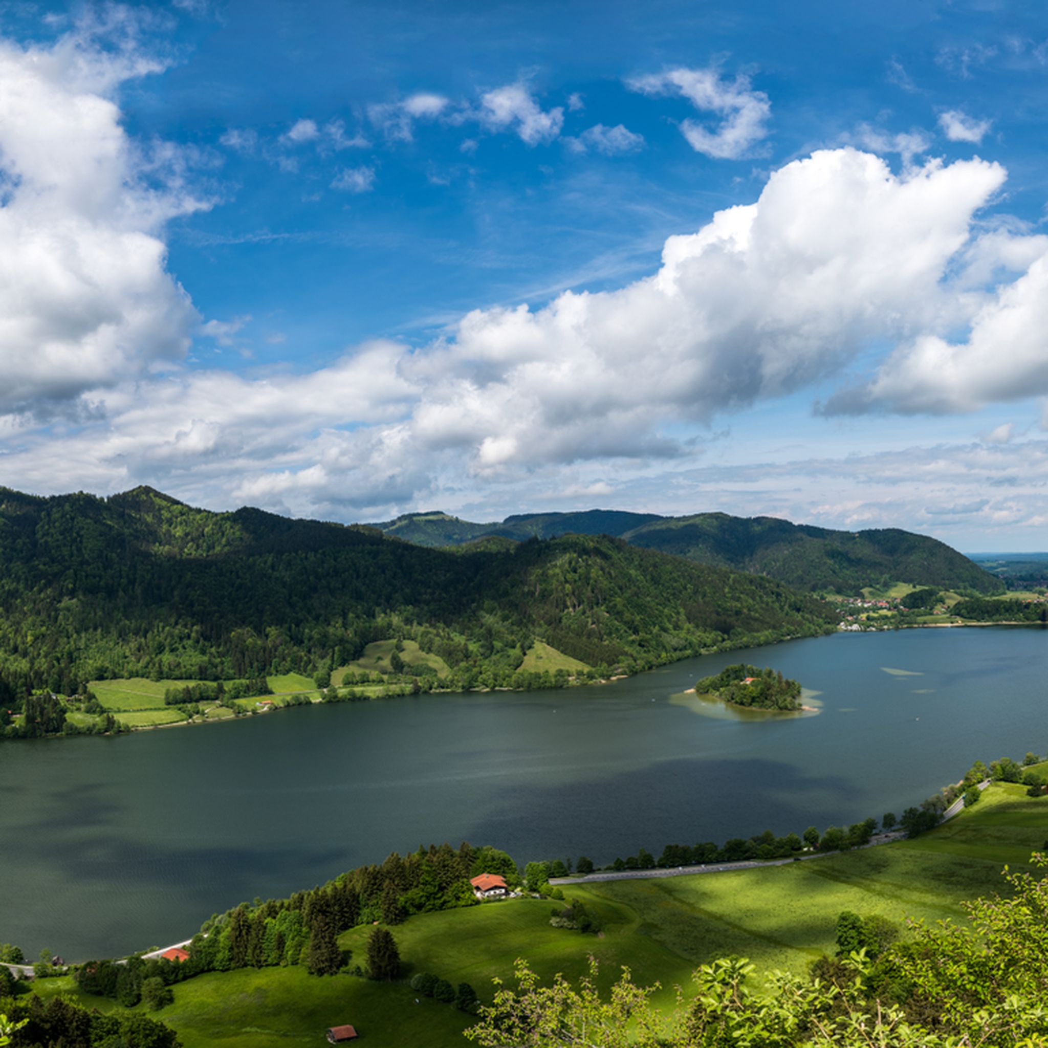
Gravel biking in Schliersee offers diverse terrain within the Bavarian Alps, characterized by its natural lake, surrounding mountains, and dense forests. The region features varied elevations, from the 777-meter (2,549 ft) lake level to higher mountain passes, providing a range of challenges for gravel riders. The landscape includes unpaved roads and trails that traverse alpine scenery and wooded areas. This makes Schliersee a destination for gravel biking with significant elevation changes and varied surfaces.
Best gravel bike trails in Schliersee
…Last updated: October 5, 2026
4.8
(17)
105
riders
76.4km
04:48
1,150m
1,150m
Hard gravel ride. Very good fitness required. You may need to push your bike for some segments of this route.
4.7
(42)
304
riders
58.4km
03:41
920m
920m
Hard gravel ride. Very good fitness required. Mostly paved surfaces. Suitable for all skill levels.

5.0
(1)
40
riders
54.7km
03:51
1,200m
1,200m
Hard gravel ride. Very good fitness required. Mostly paved surfaces. Suitable for all skill levels.
4.8
(10)
75
riders
33.4km
02:15
700m
700m
Hard gravel ride. Very good fitness required. Mostly paved surfaces. Suitable for all skill levels.
4.5
(4)
32
riders
30.3km
02:24
860m
860m
Hard gravel ride. Very good fitness required. Mostly paved surfaces. Suitable for all skill levels.
Get access to more routes and recommendations from other explorers.
Already have an account?
Our route recommendations are based on thousands of hikes, rides, and runs completed by other people on komoot.
Start today with a free account
Your next adventure awaits.
Popular around Schliersee
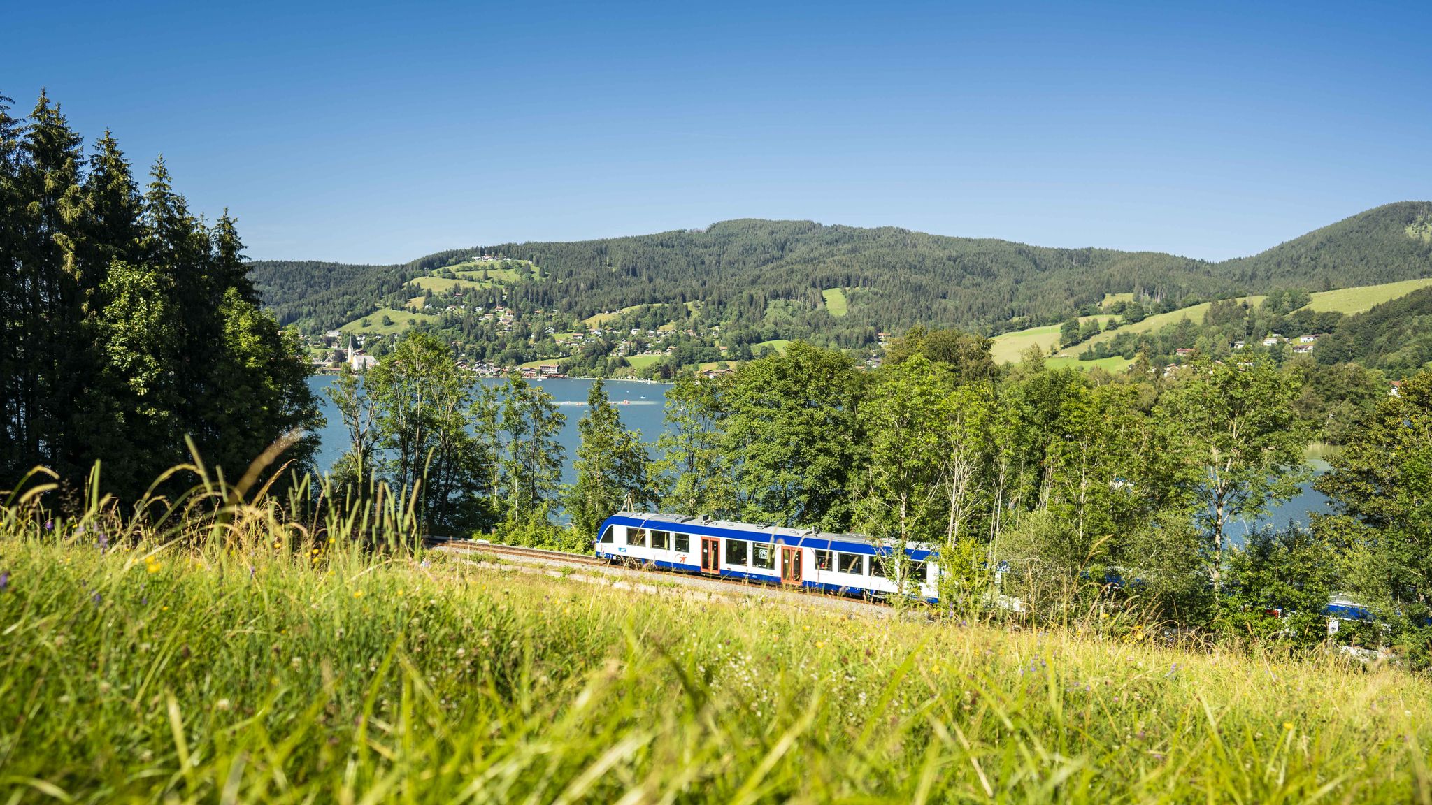
Mountain air by train – hiking in the BRB Network

Triathlon around Germany
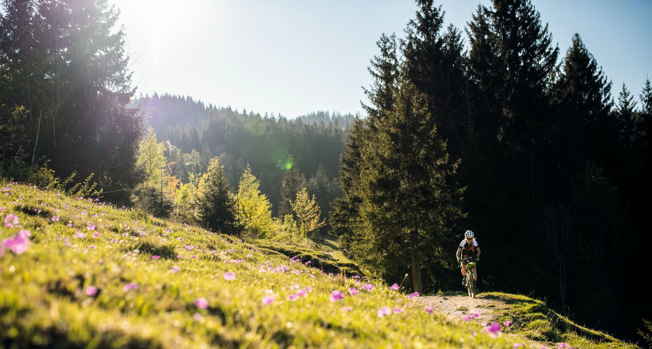
Bavarian Alps by Gravelbike: From Garmisch to Königssee
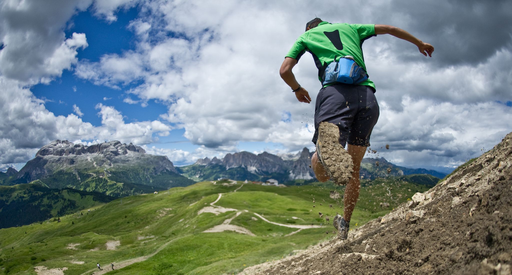
Autumn trail runs
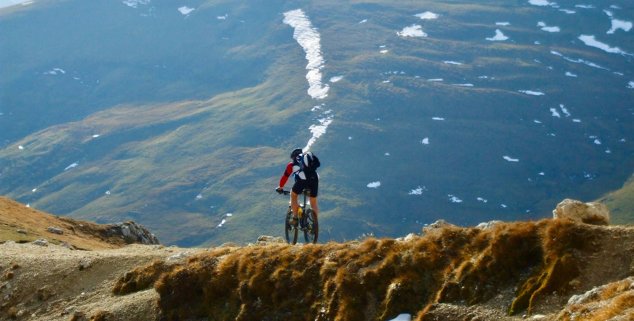
Flow trails in ski areas
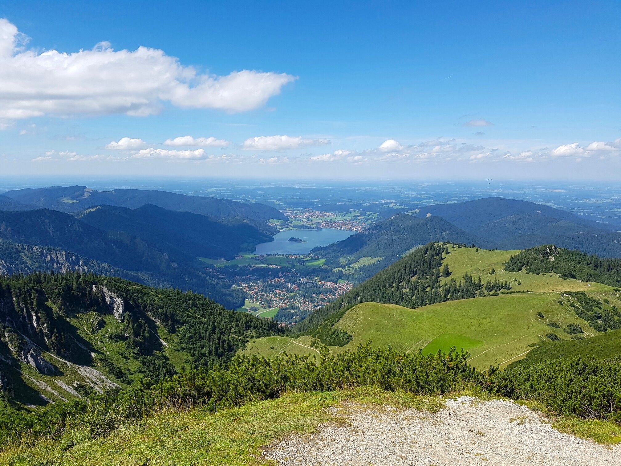
Three Lakes Tour – hut hikes in Munich's Hausberge Mountains
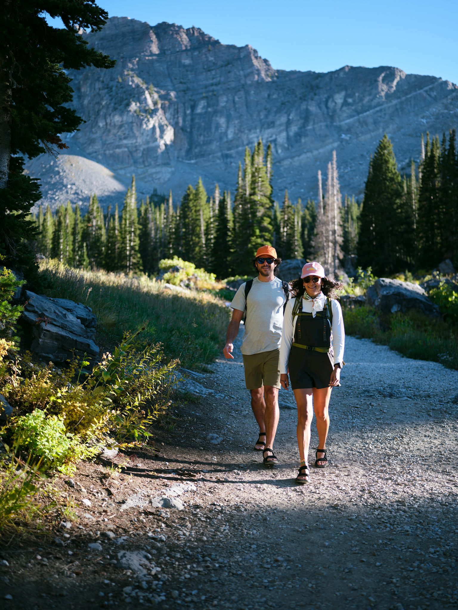
Entdecke die Natur rund um München
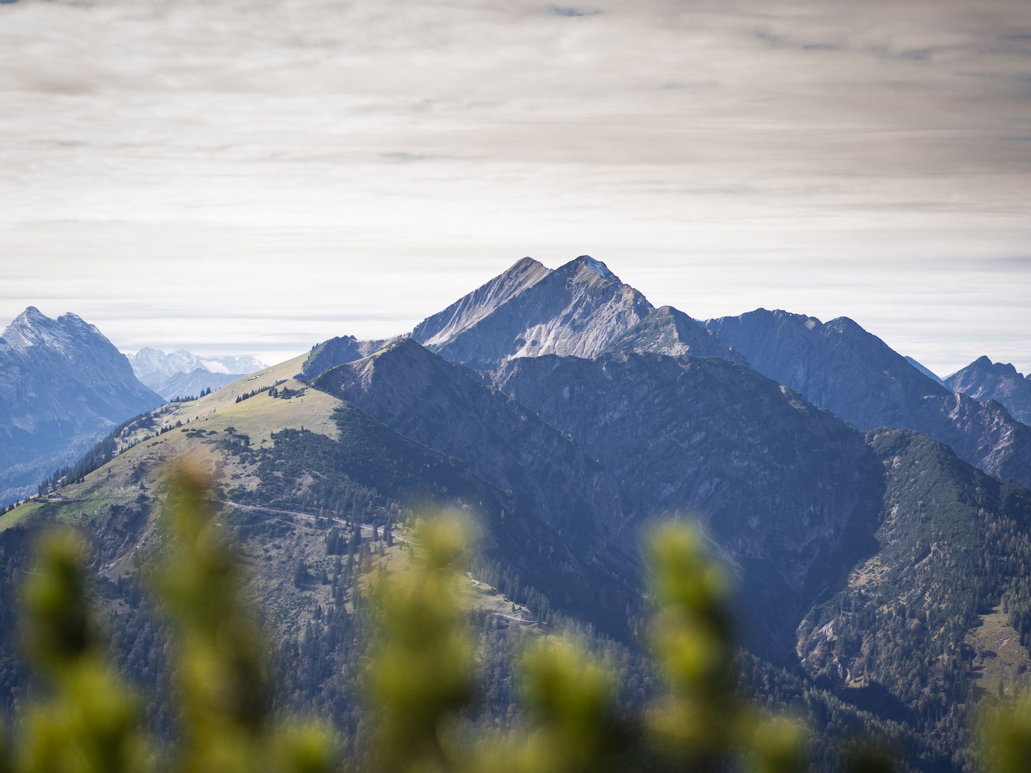
Hoch hinaus - Bergtouren in der Alpenregion Tegernsee Schliersee
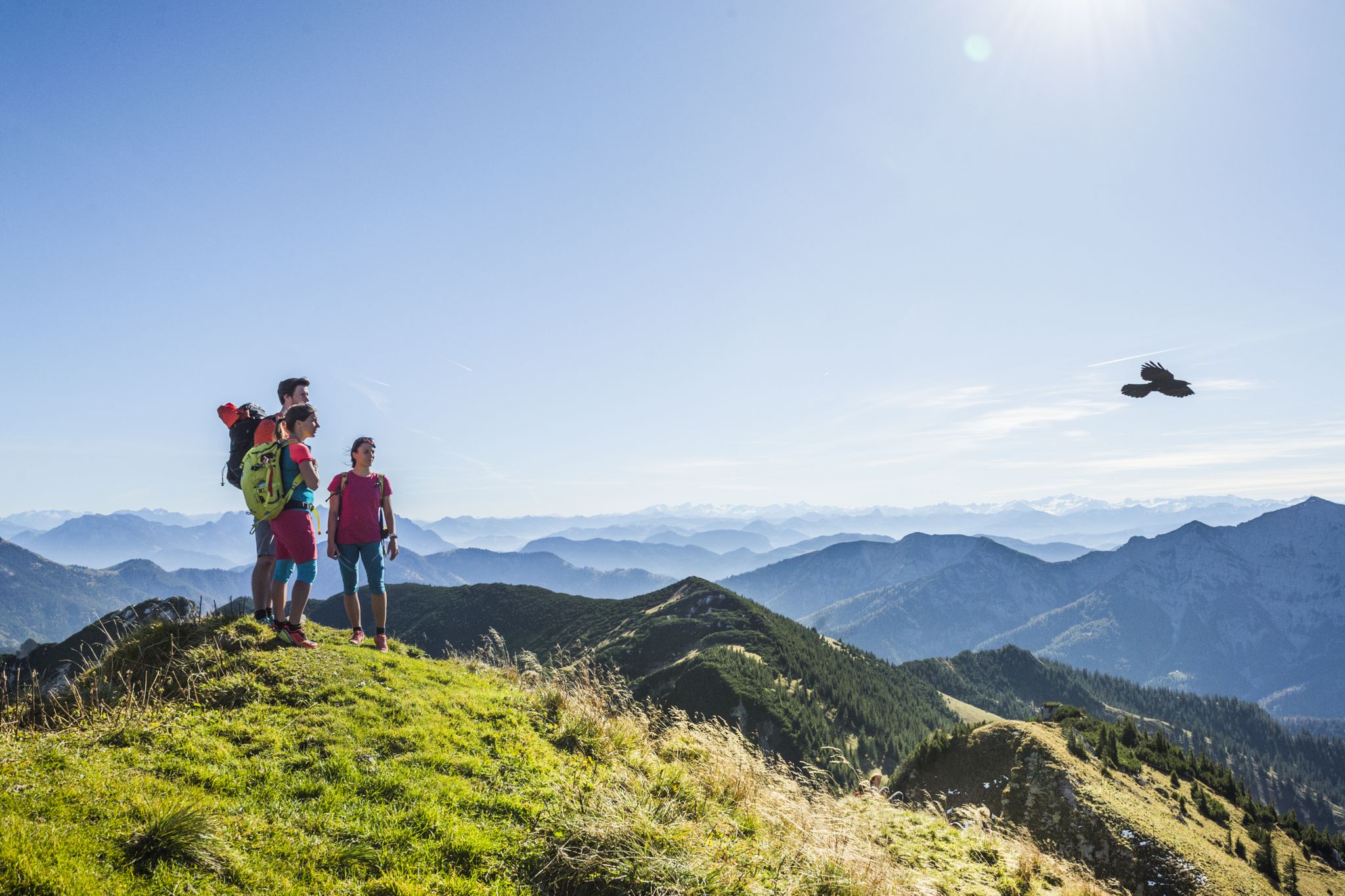
Wanderparadies Alpenregion Tegernsee Schliersee - Entdecken Sie de schönsten Touren
Hiking in Schliersee
Other adventures in Schliersee


Tips from the Community

I find hiking next to a babbling brook totally relaxing.
0
0

very nice swimming spot right next to the bike path
0
0


Every year from April 15 to May 15, access is prohibited due to bird breeding protection.
2
0


I walk this path regularly and always enjoy doing so.
1
0

A great route through the forest along the stream
0
0
Frequently Asked Questions
How many gravel bike trails are available in Schliersee?
Schliersee offers a wide selection of gravel bike trails, with over two dozen routes available. These range from easier paths to challenging climbs, catering to various skill levels.
What kind of terrain can I expect on gravel bike trails in Schliersee?
The terrain in Schliersee is highly diverse, characterized by the natural Schliersee lake, surrounding mountains, and dense forests. You'll encounter unpaved roads and trails that traverse alpine scenery and wooded areas, with significant elevation changes. Some routes feature challenging climbs, such as the long ascent on the Prinzenweg or the steep climb from Spitzingsee to the Rotwandhaus.
Are there any challenging gravel routes for experienced riders?
Yes, Schliersee is known for its challenging gravel rides. Many routes feature significant elevation gains and require good fitness. For instance, the Ackernalm Mountain Inn – Spitzing Saddle loop from Fischhausen-Neuhaus is a demanding option with over 1,100 meters of elevation gain. Another challenging route is the Spitzingsee – Lake Spitzing loop from Schliersee, which features significant climbs around the picturesque Spitzingsee lake.
What are some scenic viewpoints or natural features I can see along the trails?
Gravel biking routes in Schliersee often provide panoramic views of the lake, surrounding hills, and the expansive Bavarian landscape. You can find stunning vistas such as the View over Lake Tegernsee and the Bavarian Alps, or the Riederstein Chapel and view over Lake Tegernsee. The region also features beautiful waterfalls like the Josefsthal Waterfalls and the Hachelbach Waterfalls, which can be explored near some routes.
Are there any circular gravel routes in Schliersee?
Many of the gravel routes in Schliersee are designed as loops, allowing you to start and end in the same location. A popular example is the Valepp Valley Scenic Road – Valepp Scenic Road loop from Schliersee, which offers extensive riding through scenic valleys. Another great option is the Tegernsee – Schliersee Cycle Path loop from Fischhausen-Neuhaus, connecting two prominent lakes.
What is the best time of year for gravel biking in Schliersee?
The warmer months are generally ideal for gravel biking in Schliersee, allowing full access to the diverse network of trails. During this time, you can enjoy the lush greenery and the natural beauty of the Bavarian Alps. While some routes may be accessible in shoulder seasons, always check local conditions, especially for higher elevation trails, as snow can persist.
How accessible is Schliersee for gravel bikers using public transport?
Schliersee is very accessible by public transport, particularly by train from Munich. This makes it convenient for visitors who wish to bring their bikes and explore the trails without needing a car. Many routes are designed to be accessible from key towns around the lake.
What do other gravel bikers say about the trails in Schliersee?
The gravel biking experience in Schliersee is highly regarded by the komoot community, with an average rating of 4.8 stars from over 70 reviews. Riders often praise the diverse terrain, the stunning alpine scenery, and the well-signed paths that make for rewarding rides.
Are there any routes that connect Schliersee with other lakes?
Yes, there are routes that connect Schliersee with neighboring lakes, offering varied terrain and beautiful scenery. For example, the Tegernsee – View of Lake Tegernsee loop from Schliersee provides a connection to Lake Tegernsee, allowing you to experience the landscape between these two prominent bodies of water.
Can I find information about the Schliersee Mountains?
The Schliersee Mountains are an integral part of the Mangfall Mountains, offering a range of elevations and rugged terrain that define the gravel biking experience. Prominent peaks include the Rotwand, Wasserspitz, Rinnerspitz, and Bodenschneid. You can learn more about the region's geography on Wikipedia.
What is the elevation of Schliersee lake?
The natural Schliersee lake, a central feature of the region, lies at an elevation of 777 meters (2,549 ft) above sea level. This elevation provides a starting point for many routes that then ascend into the surrounding mountains. More details about the lake can be found on Wikipedia.
Most popular routes in Schliersee
Most popular attractions in Schliersee

Get inspired with the komoot mobile app


Explore more
Browse the best Gravel rides in other regions.
