The 13 Most Amazing Peaks around Wurzbach
Best mountain peaks around Wurzbach are found in a region characterized by its hilly landscape in southern Thuringia, Germany. The town of Wurzbach is situated at an elevation of 525 meters, offering a natural setting for exploration. While not featuring prominent peaks like larger mountain ranges, the area provides various elevated points and viewpoints. These locations offer opportunities to experience the nature in Wurzbach region and its surroundings.
Best mountain peaks around Wurzbach
- The most popular mountain peaks is Kämmleinsfelsen…
Last updated: June 29, 2026
Frankenwarte Observation Tower
Highlight • Monument
Translated by Google •
Tip by

Presswitzer Spitze at Hohenwarte Reservoir
Highlight • Viewpoint
Translated by Google •
Tip by

Sign up now to discover places like this
Get recommendations on the best single tracks, peaks, & plenty of other exciting outdoor places.
Sign up for free
Schloßberg Nordhalben Summit and Mushroom Sculpture
Highlight • Summit
Translated by Google •
Tip by

Wetzstein Summit and Former Radar Station
Highlight • Summit
Translated by Google •
Tip by

Spitzberg Summit (729 m) – Covered Rest Area & Summit Book
Highlight • Summit
Translated by Google •
Tip by
Sign up for free to discover even more peaks around Wurzbach.
Sign up for free
Already have an account?
Start today with a free account
Your next adventure awaits.
Login or Signup
Popular around Wurzbach
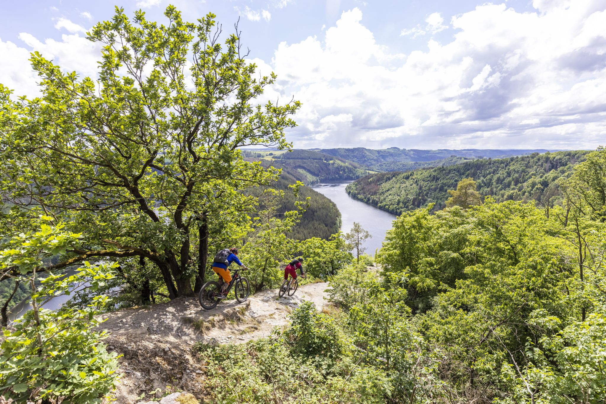
In the land of blue gold – Trail guide Thuringian Slate Mountains
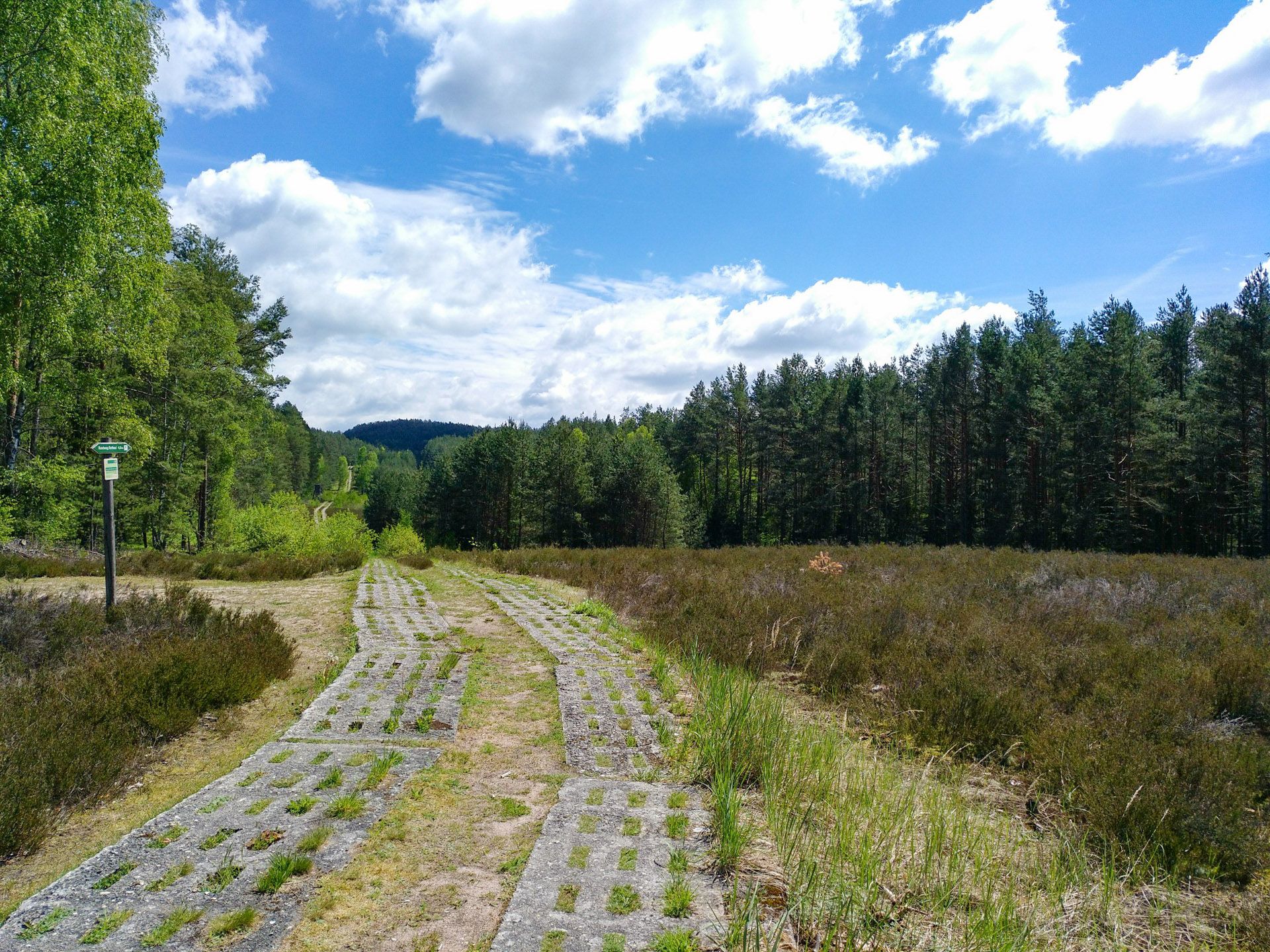
Discover the Green Belt in Germany’s Thuringian Slate Mountains with BUND
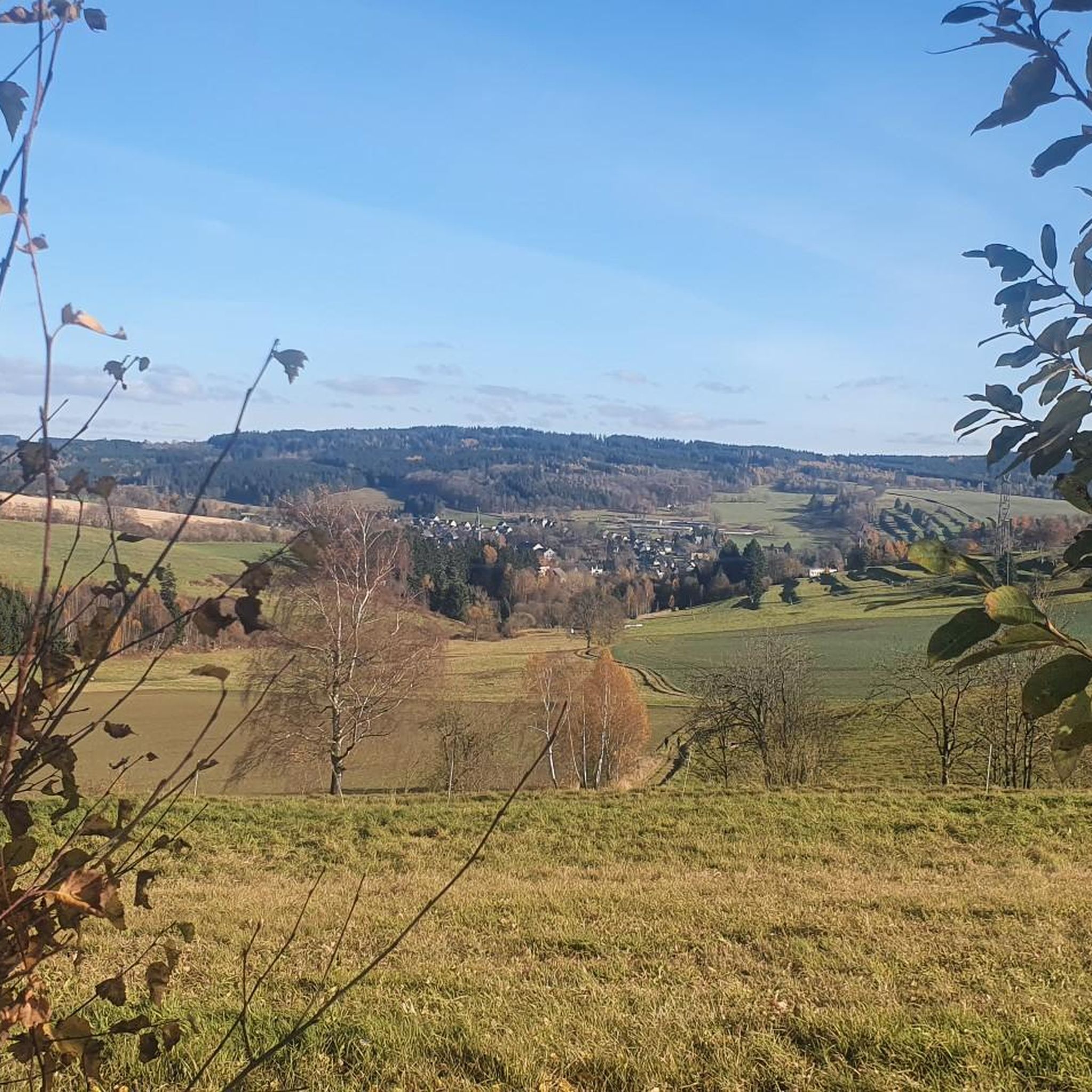
Hiking around Wurzbach
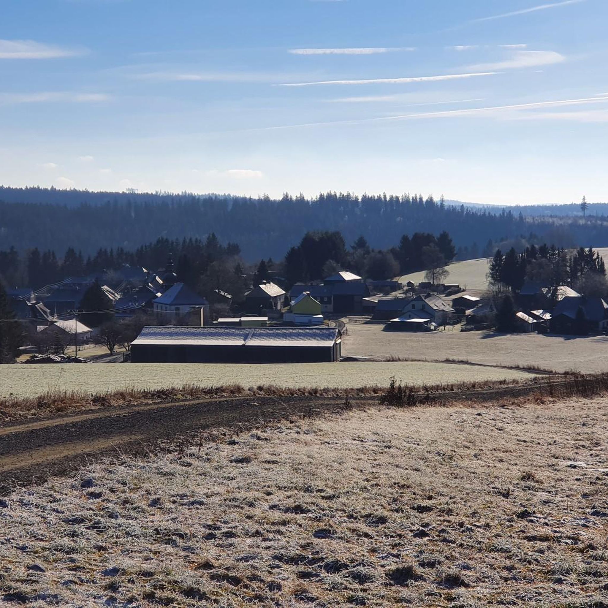
Cycling around Wurzbach
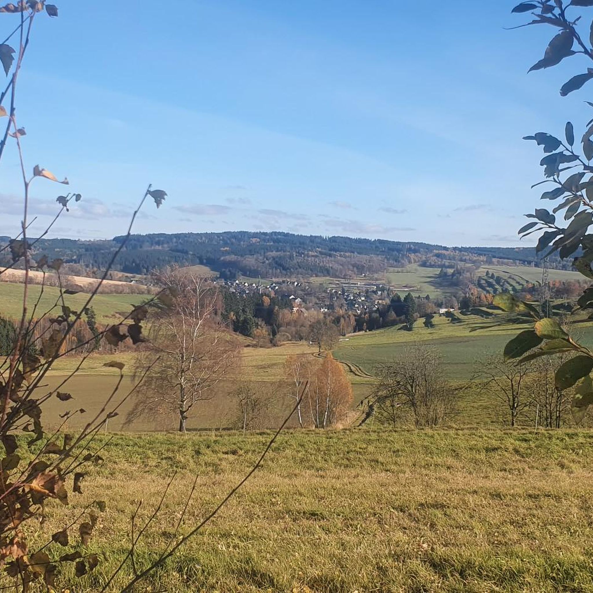
Running Trails around Wurzbach
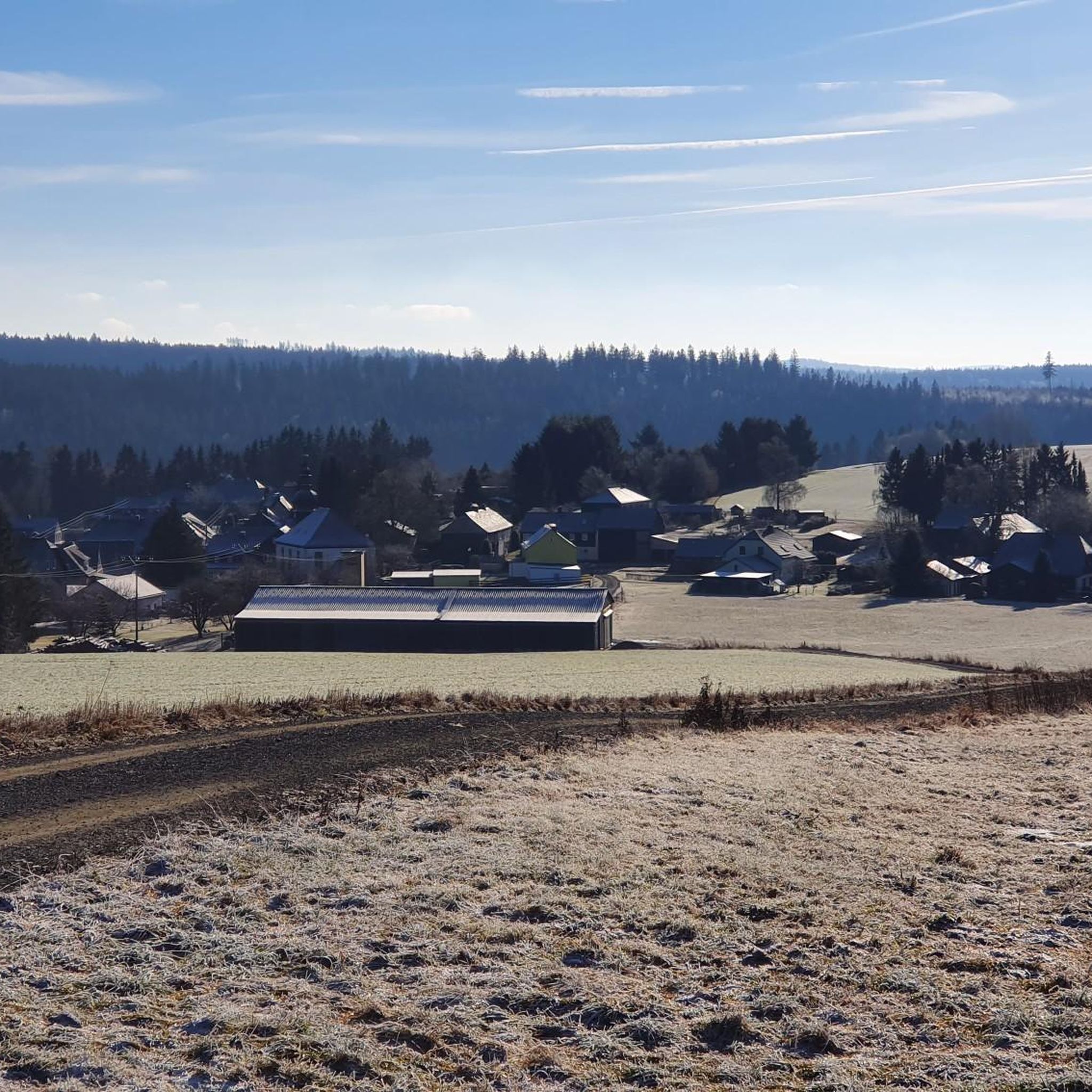
MTB Trails around Wurzbach
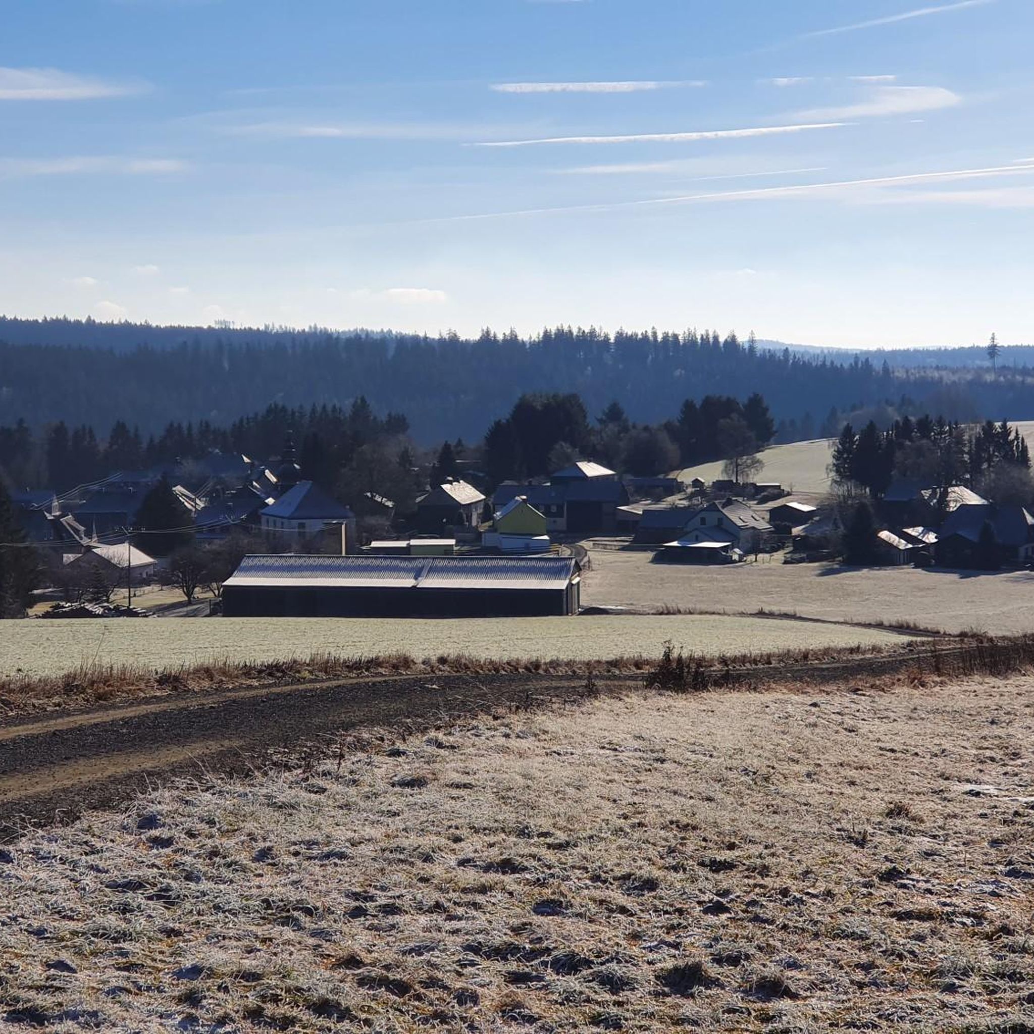
Road Cycling Routes around Wurzbach

Gravel biking around Wurzbach


Tips from the Community

The Frankenwarte (Frankenwarte) stands atop the 679-meter-high Hirschhügel (Hirschhügel). The eight-and-a-half-meter-high, round stone tower offers a panoramic view to the northeast, to the edge of the Höllental valley, to Lichtenberg and Bad Steben, and to the west to the hills near Nordhalben. To the south, Geroldsgrün, the 729-meter-high Spitzberg, and the 758-meter-high Schneidberg can be seen, and hidden behind them, the highest peak in the Franconian Forest, the 794-meter-high Döbraberg. To the southeast, the view extends to the Fichtel Mountains. The Frankenwarte was built and is maintained by the Franconian Forest Association. Plans to build an observation tower on the hill existed as early as 1930. However, the Frankenwarte was not inaugurated until August 12, 1951. In 2020, panoramic panels were installed on the parapet of the viewing platform, illustrating the towns and landscape features visible from here.
13
0

Viewpoint on the Schlossberg with a mushroom as a seat with weather protection
1
1
At 792 meters, the fourth-highest peak in the Franconian Forest may be unspectacular, but it does offer a wonderful rest area. The Bobengrün Franconian Forest Association inaugurated a new covered seating area with a summit register in September 2024 to raise awareness of the mountain.
14
1

quite overgrown in summer
0
1

There's a nice covered seating area and a summit register. But unfortunately, the summit offers no view at all.
3
1

Beautiful place, worth it
0
0

The "Preswitzer Spitze" protrudes wonderfully into the reservoir like a small peninsula and so you have a great view on both sides.
8
0
Numerous hiking trails in the region lead past here. The Franconian Forest Association provides information in the entrance area about the special features of the tower and the region. There are plaques at the top to help you find your way around.
5
1
Frequently Asked Questions
What are some of the most notable elevated points or viewpoints around Wurzbach?
While Wurzbach is characterized by a hilly landscape rather than prominent mountain peaks, several elevated points offer great views and experiences. These include the Kämmleinsfelsen Viewpoint, known for its views of the Langenautal Valley, and the Frankenwarte Observation Tower, which provides panoramic views across the region, including the Fichtel Mountains.
Are there any historical sites or man-made monuments among the elevated points near Wurzbach?
Yes, the region features several elevated points with historical significance or man-made structures. The Frankenwarte Observation Tower is an 8.5-meter-high stone tower inaugurated in 1951, offering extensive views. Another interesting site is the Wetzstein Summit and Former Radar Station, which was once part of the NVA's air surveillance system during the Cold War, with remnants still visible today.
What kind of views can I expect from the elevated points around Wurzbach?
The elevated points around Wurzbach offer diverse scenic views. From the Kämmleinsfelsen Viewpoint, you can enjoy the beautiful Langenautal Valley. The Frankenwarte Observation Tower provides panoramic vistas to the northeast, west, south, and southeast, extending to the Fichtel Mountains. The Schloßberg Nordhalben Summit offers a great view of Nordhalben itself.
Are there family-friendly elevated points or activities near Wurzbach?
Yes, the Schloßberg Nordhalben Summit and Mushroom Sculpture is considered family-friendly. It offers a great view of Nordhalben and features a unique mushroom sculpture, making it an engaging spot for visitors of all ages.
What outdoor activities can I do near the elevated points around Wurzbach?
The hilly landscape around Wurzbach is ideal for various outdoor activities. You can find numerous routes for hiking, mountain biking, and gravel biking. For hiking, explore trails like the 'Source of the Sormitz' or 'Wurzbacher Markt' loops. Mountain bikers can try routes such as the 'Webersloch Quarry Lake – View of Staatsbruch Lehesten loop'. For more options, check out the dedicated guides for Hiking around Wurzbach, MTB Trails around Wurzbach, and Gravel biking around Wurzbach.
Are there any elevated points with facilities for resting or picnicking?
Yes, some elevated points offer facilities for visitors. The Kämmleinsfelsen Viewpoint has a bench and a shelter, inviting you to linger and enjoy the view. Additionally, the Spitzberg Summit (729 m) features a covered rest area and a summit book, providing a comfortable spot to take a break.
What is the highest elevated point in the eastern Thuringia region near Wurzbach?
The highest elevated point in eastern Thuringia is the Wetzstein Summit, reaching 792 meters. It is located near Brennersgrün and is known for its historical radar station.
What do visitors particularly enjoy about the elevated points around Wurzbach?
Visitors frequently praise the rewarding views and the peaceful natural setting. Many appreciate the well-maintained trails leading to these spots. For instance, the Kämmleinsfelsen Viewpoint is noted for its beautiful views and the inviting bench and shelter. The Schloßberg Nordhalben Summit is loved for its great views of Nordhalben and its unique geological features.
Are there any challenging hiking routes to the elevated points near Wurzbach?
While many routes are intermediate, some sections can be more challenging. For example, the route to the Schloßberg Nordhalben Summit can be made more challenging by combining it with parts of the Grenzersteig. The Kämmleinsfelsen Viewpoint is also categorized as challenging, offering a more strenuous ascent for experienced hikers.
What is the Spitzberg Summit known for?
The Spitzberg Summit, at 729 meters, is the fourth-highest mountain in the Franconian Forest. It is known for its covered rest area and a summit book, which was inaugurated by the Bobengrün Franconian Forest Association to raise awareness of the mountain.
Can I find natural monuments among the elevated points in the Wurzbach area?
Yes, the region is home to several natural monuments. The Kämmleinsfelsen Viewpoint and the Schloßberg Nordhalben Summit are both recognized as natural monuments, appreciated for their geological features and unique natural settings.
Most popular routes around Wurzbach
Most popular attractions around Wurzbach

Get inspired with the komoot mobile app


Explore more
See even more amazing summits around Wurzbach with these guides:
