The 11 Most Amazing Peaks around Bad Lobenstein
Best mountain peaks around Bad Lobenstein are situated within the Thuringian Slate Mountains and border the Frankenwald, offering elevated points for outdoor activities. The region features dense wooded areas and elevations reaching almost 800 meters. This landscape is characterized by dolerite peaks with wooded crests, providing numerous hiking trails and scenic vistas. Exploring these areas allows for connection with nature and panoramic views.
Best mountain peaks around Bad Lobenstein
- The most popular mountain peaks is Kämmleinsfelsen Viewpoint, a viewpoint…
Last updated: July 1, 2026
Frankenwarte Observation Tower
Highlight • Monument
Translated by Google •
Tip by

Schloßberg Nordhalben Summit and Mushroom Sculpture
Highlight • Summit
Translated by Google •
Tip by

Sign up now to discover places like this
Get recommendations on the best single tracks, peaks, & plenty of other exciting outdoor places.
Sign up for free
Wetzstein Summit and Former Radar Station
Highlight • Summit
Translated by Google •
Tip by

Spitzberg Summit (729 m) – Covered Rest Area & Summit Book
Highlight • Summit
Translated by Google •
Tip by
Kämmleinsfelsen Viewpoint
Highlight • Viewpoint
Translated by Google •
Tip by
Sign up for free to discover even more peaks around Bad Lobenstein.
Sign up for free
Already have an account?
Start today with a free account
Your next adventure awaits.
Login or Signup
Other adventures around Bad Lobenstein

Tips from the Community

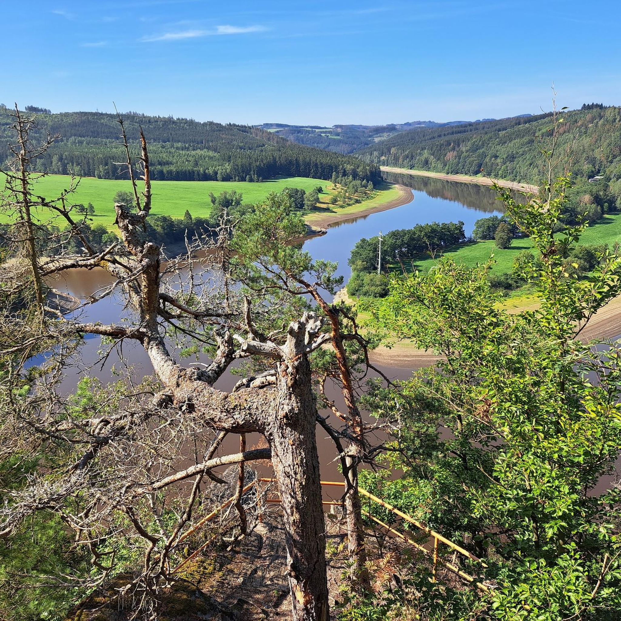
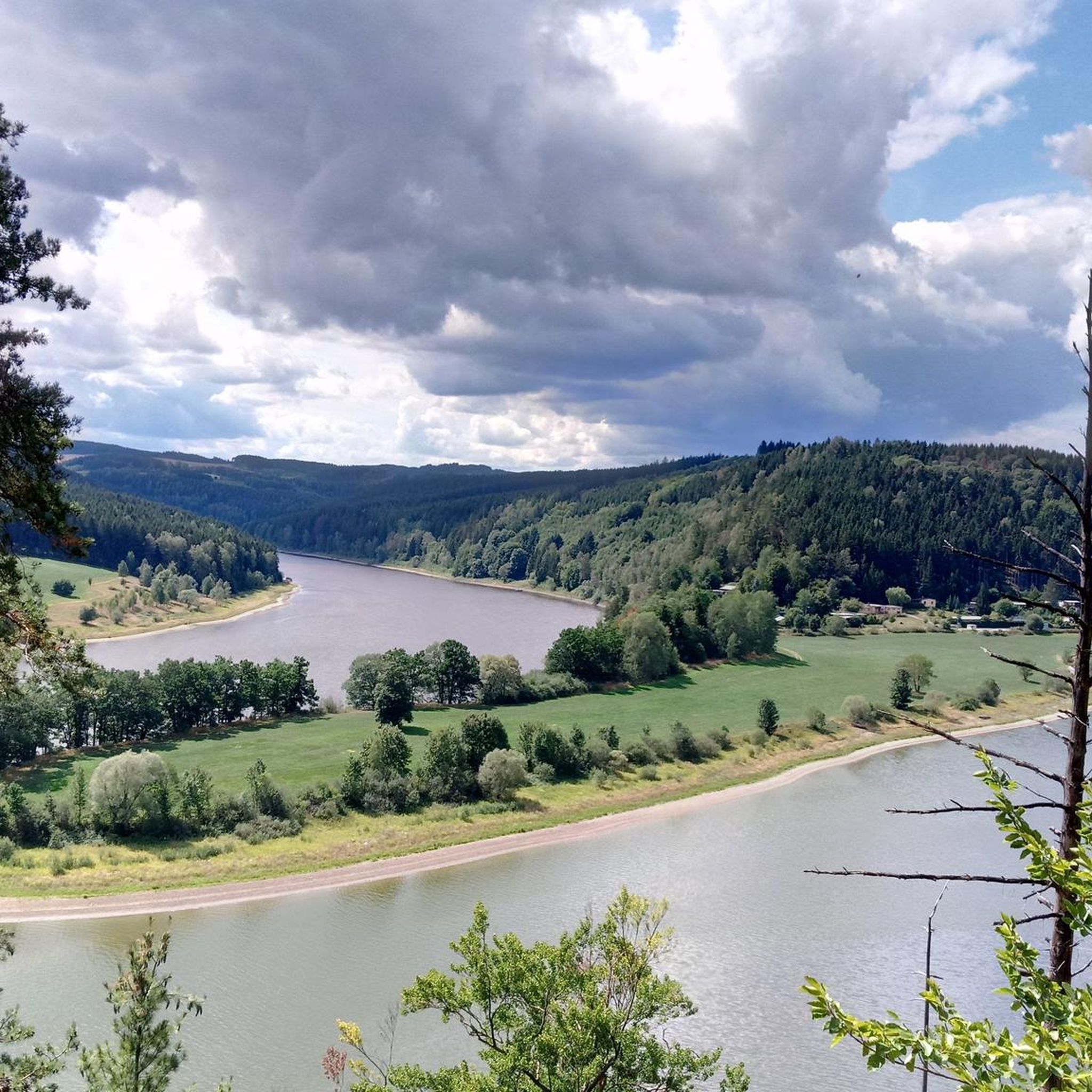
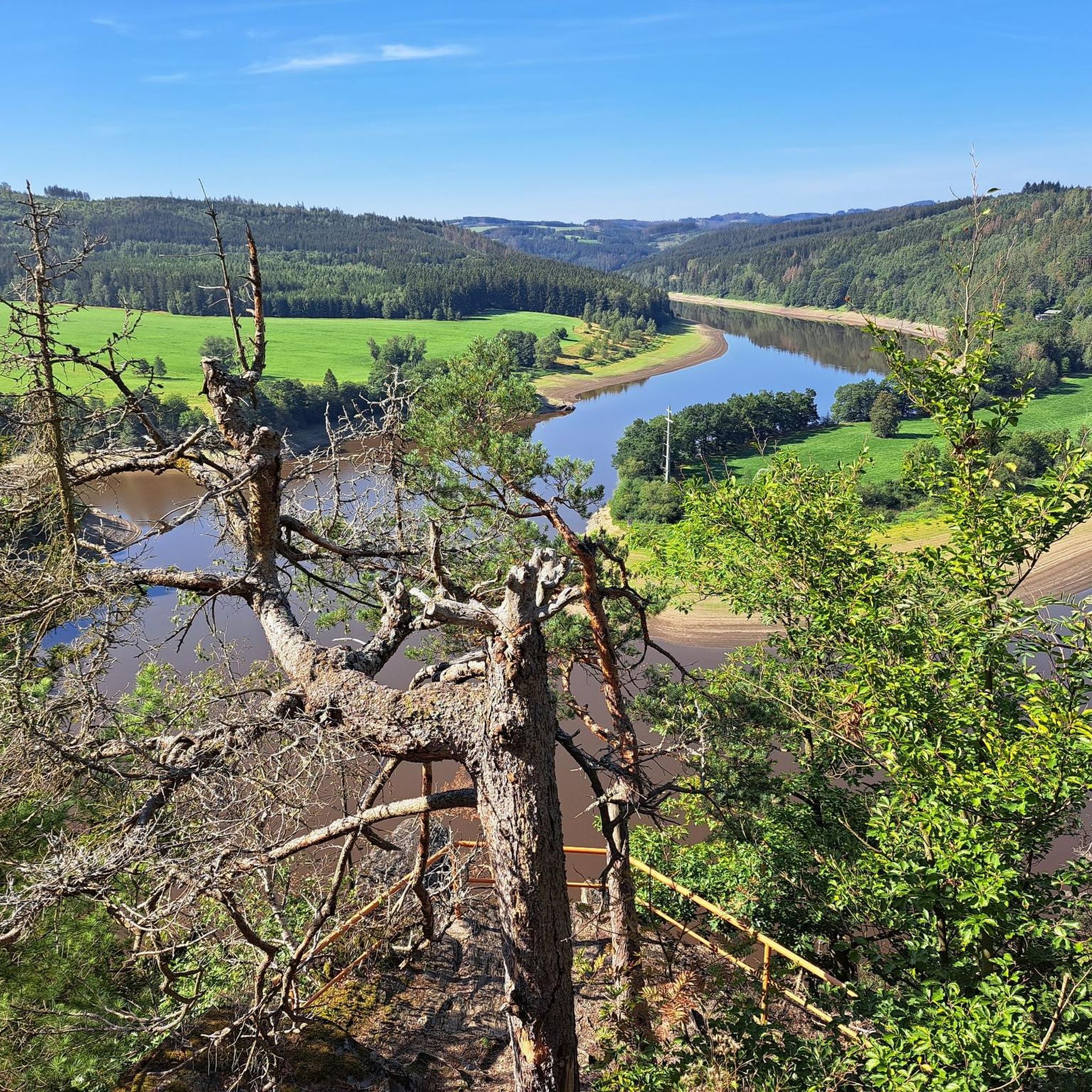
Here, hikers can enjoy the beautiful view of the Langenautal Valley and far beyond. A bench and a shelter invite you to linger. The Kämmleinsfelsen rock is accessible via the marked hiking trails DÖ 94 (Auf Jägersteigen), DÖ 97 (Säuerlings-Weg), and the Lotharheiler Runde of the Geroldsgrün Geotrail.
18
0
The Frankenwarte (Frankenwarte) stands atop the 679-meter-high Hirschhügel (Hirschhügel). The eight-and-a-half-meter-high, round stone tower offers a panoramic view to the northeast, to the edge of the Höllental valley, to Lichtenberg and Bad Steben, and to the west to the hills near Nordhalben. To the south, Geroldsgrün, the 729-meter-high Spitzberg, and the 758-meter-high Schneidberg can be seen, and hidden behind them, the highest peak in the Franconian Forest, the 794-meter-high Döbraberg. To the southeast, the view extends to the Fichtel Mountains. The Frankenwarte was built and is maintained by the Franconian Forest Association. Plans to build an observation tower on the hill existed as early as 1930. However, the Frankenwarte was not inaugurated until August 12, 1951. In 2020, panoramic panels were installed on the parapet of the viewing platform, illustrating the towns and landscape features visible from here.
13
0

Viewpoint on the Schlossberg with a mushroom as a seat with weather protection
1
1
At 792 meters, the fourth-highest peak in the Franconian Forest may be unspectacular, but it does offer a wonderful rest area. The Bobengrün Franconian Forest Association inaugurated a new covered seating area with a summit register in September 2024 to raise awareness of the mountain.
14
1

quite overgrown in summer
0
1

There's a nice covered seating area and a summit register. But unfortunately, the summit offers no view at all.
3
1


Beautiful place, worth it
0
0
Frequently Asked Questions
What are the most popular mountain peaks around Bad Lobenstein?
Among the most popular mountain peaks and elevated viewpoints in the Bad Lobenstein area are the Kämmleinsfelsen Viewpoint, which offers stunning views of the Langenautal Valley, and the Frankenwarte Observation Tower on Hirschhügel, known for its expansive panoramic vistas. Another notable spot is the Schloßberg Nordhalben Summit and Mushroom Sculpture, recognized for its unique microclimate and rare plant species.
Which mountain peaks offer the best panoramic views?
For breathtaking panoramic views, the Frankenwarte Observation Tower on Hirschhügel is highly recommended. From its eight-and-a-half-meter-high stone tower, you can see the edges of the Höllental, Lichtenberg, Bad Steben, and even the Döbraberg and Fichtelgebirge on clear days. The Kämmleinsfelsen Viewpoint also provides a beautiful outlook over the Langenautal Valley.
Are there family-friendly mountain peaks or trails around Bad Lobenstein?
Yes, the region offers options suitable for families. The Schloßberg Nordhalben Summit and Mushroom Sculpture is listed as family-friendly. Additionally, the wider Thuringian Slate Mountains area provides numerous hiking trails with varying difficulty levels, allowing families to choose routes that match their fitness and experience. For specific family-friendly hiking routes, you can explore the Hiking around Bad Lobenstein guide, which includes an 'easy' rated 'Lobi family hiking trail'.
What is the typical terrain and difficulty level for hiking these peaks?
The terrain around Bad Lobenstein's peaks, part of the Thuringian Slate Mountains, is characterized by dense wooded areas and elevations reaching almost 800 meters. You'll encounter picturesque, often steep slopes and 'Kuppen' (dolerite peaks with wooded crests). Hiking difficulties range from easy, such as the 'Lobi family hiking trail', to more challenging routes that involve significant altitude differences, like those found around the Kämmleinsfelsen Viewpoint.
What outdoor activities can I do near these mountain peaks?
Beyond hiking, the area around Bad Lobenstein's mountain peaks offers various outdoor activities. You can enjoy gravel biking and cycling on routes that traverse the scenic landscape. For example, the Gravel biking around Bad Lobenstein guide and the Cycling around Bad Lobenstein guide provide numerous routes, including those around the Bleiloch Dam and through the Frankenwald.
Are there challenging mountain climbs for experienced hikers?
While the region is primarily known for its scenic hiking, some routes offer more challenging sections. For instance, the approach to the Kämmleinsfelsen Viewpoint can be challenging, especially if you opt for unmarked trails. The wider Thuringian Slate Mountains and Frankenwald, including peaks like the Döbraberg, feature trails that can be quite demanding, often with steep ascents and descents.
What are the highest mountain peaks in the Bad Lobenstein area?
The highest elevation in the immediate Bad Lobenstein area reaches around 735 meters. Slightly further afield, but visible from local viewpoints, is the Döbraberg at 794 meters, which is the highest peak in the Frankenwald. Other significant peaks include the Wetzstein Summit at 792 meters, the Schneidberg at 758 meters, and the Spitzberg at 729 meters. The Frankenwarte Observation Tower is located on the 679-meter-high Hirschhügel.
When is the best time to hike the mountain peaks near Bad Lobenstein?
The region is beautiful throughout the warmer months, typically from spring to autumn, when the dense forests are lush and the weather is favorable for hiking. During these seasons, you can fully enjoy the panoramic views and outdoor activities. Winter also offers opportunities for cross-country and alpine skiing on higher peaks like the Döbraberg, but hiking conditions may vary.
Are there dog-friendly hiking trails around the mountain peaks?
While specific dog-friendly designations for individual peaks are not always highlighted, the natural landscape of the Thuringian Slate Mountains and Frankenwald is generally welcoming to dogs on leash. Many hiking trails, especially those through forests and open areas, are suitable for walks with your canine companion. Always ensure your dog is under control and respect local wildlife and regulations.
What historical landmarks can be found near the mountain peaks?
The Frankenwarte Observation Tower itself is a historical landmark, inaugurated in 1951 and maintained by the Frankenwaldverein. Another site of historical interest is the Wetzstein Summit and Former Radar Station, which was once a part of the air surveillance system during the Cold War, with remnants of its past still visible today.
What do visitors enjoy most about the mountain peaks around Bad Lobenstein?
Visitors particularly enjoy the rewarding vistas and the opportunity to connect with nature. The panoramic views from spots like the Frankenwarte Observation Tower are a major draw. Hikers appreciate the well-marked trails and the chance to explore the unique dolerite peaks and wooded crests. The availability of shelters and benches at viewpoints like the Kämmleinsfelsen Viewpoint also enhances the experience, inviting visitors to linger and soak in the scenery.
How can I access the mountain peaks near Bad Lobenstein by public transport or car?
Access to many of the mountain peaks and hiking trails is generally possible by car, with parking often available near trailheads or villages. For public transport, regional bus services connect Bad Lobenstein with surrounding towns and some trail access points. Planning your route in advance using local transport schedules is advisable for specific destinations.
Most popular routes around Bad Lobenstein
Most popular attractions around Bad Lobenstein

Get inspired with the komoot mobile app


Explore more
See even more amazing summits around Bad Lobenstein with these guides:
