The best road cycling routes in Border Field State Park
4.4
(173)
1,025
riders
18
rides
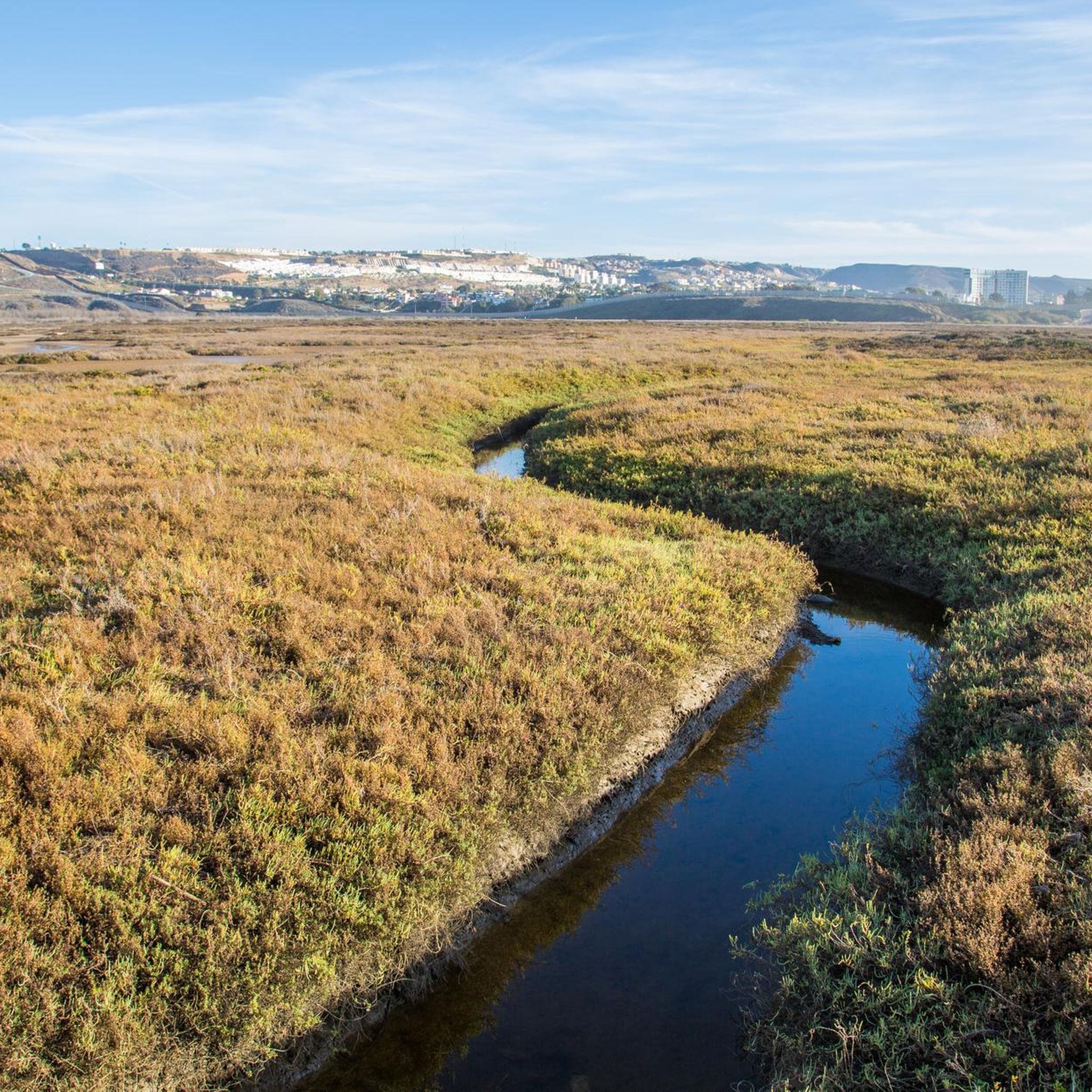
Road cycling in Border Field State Park offers routes through a diverse estuarine environment, characterized by sand dunes, salt marshes, and the Tijuana River Estuary. The area provides views of the Pacific Ocean, the international border, and the unique ecosystem where fresh and saltwater merge. While some routes feature mostly paved surfaces, cyclists should be prepared for potential unpaved segments and varying terrain. The park's main access road can be subject to closures, but alternative access for cycling is often…
Last updated: October 14, 2026
4.0
(2)
8
riders
14.7km
00:35
40m
40m
Easy road ride. Great for any fitness level. Mostly well-paved surfaces and easy to ride.
4.0
(2)
45
riders
Easy road ride. Great for any fitness level. Mostly well-paved surfaces and easy to ride.

4.0
(2)
63
riders
56.7km
02:27
120m
120m
Moderate road ride. Good fitness required. Mostly well-paved surfaces and easy to ride.
5.0
(2)
16
riders
17.9km
00:45
40m
40m
Easy road ride. Great for any fitness level. Mostly well-paved surfaces and easy to ride.
4.0
(1)
58
riders
101km
04:17
470m
470m
Moderate road ride. Good fitness required. Mostly well-paved surfaces and easy to ride.
Get access to more routes and recommendations from other explorers.
Already have an account?
Our route recommendations are based on thousands of hikes, rides, and runs completed by other people on komoot.
Start today with a free account
Your next adventure awaits.
Popular around Border Field State Park

Tips from the Community

Bring sunblock, bottle of water, and comfy shoes if you’re walking during the day.
0
0

The view from this section of the bikeway is stunning. The vibrant green and blue colors of the water and skyline are breathtaking and worthy of a stop to take some incredible photos.
1
0
The Rose Canyon Bike Route, a segment of the Coastal Rail Trail, is less than a mile long and is an ideal connection between Mission Bay and Torrey Pines, traveling along the creek past commercial and residential areas. It is a fantastic, protected pathway situated between I-5 and the rail tracks, perfect for an enjoyable ride in either direction.
0
0

All told, Mission Bay's convoluted shoreline rambles along for about 27 miles. You can trace almost half that length, plus part of the San Diego River, on 12 miles of easy bike paths.
0
0

The view from the pier, whether from the old sailing ship or the aircraft carrier, is a dream. You can also get straight into the historic old town from this side.
1
0

The San Diego Bay National Wildlife Refuge is a wildlife refuge that was created to protect San Diego's historic coastal salt marsh and mudflat habitat. The refuge is home to a wide variety of wildlife. There are several bike paths that run along the coast, which give you great views of the water and a chance to spot wildlife.
0
0

Spanish Landing Park is home to a bit of history, a paved path, and a large beach area. The sandy beach is open to the public and looks out over the waters where the Spanish landed back in 1769.
0
0

Extending over 4-1/2 miles, this expansive sandy beach draws crowds for swimming, surfing, and fishing. The scenic bluffs overlooking the beach add to its allure, although occasional collapses or rockslides occur.
0
0
Frequently Asked Questions
How many road cycling routes are available in Border Field State Park?
There are 13 road cycling routes in Border Field State Park, offering a range of options from easy to difficult. The komoot community has rated these routes highly, with an average score of 4.6 stars.
What types of terrain can I expect on road cycling routes in Border Field State Park?
Road cycling in Border Field State Park primarily features paved surfaces, but some routes may include unpaved segments. The terrain often includes coastal paths, estuarine environments, and areas with views of the international border. Cyclists should be prepared for varying surfaces.
Are there any easy, paved road cycling routes suitable for families in Border Field State Park?
Yes, there are 7 easy road cycling routes in the park. For a relatively flat and scenic ride, consider the Glorietta Bay Park – Coronado Bayshore Bikeway loop from Silver Strand Natural Preserve, which is 23.1 miles long and offers coastal views. Another easy option is the Gaslamp Quarter – The Rady Shell at Jacob Park loop from H Street.
What are some notable landmarks or viewpoints I can see while cycling in Border Field State Park?
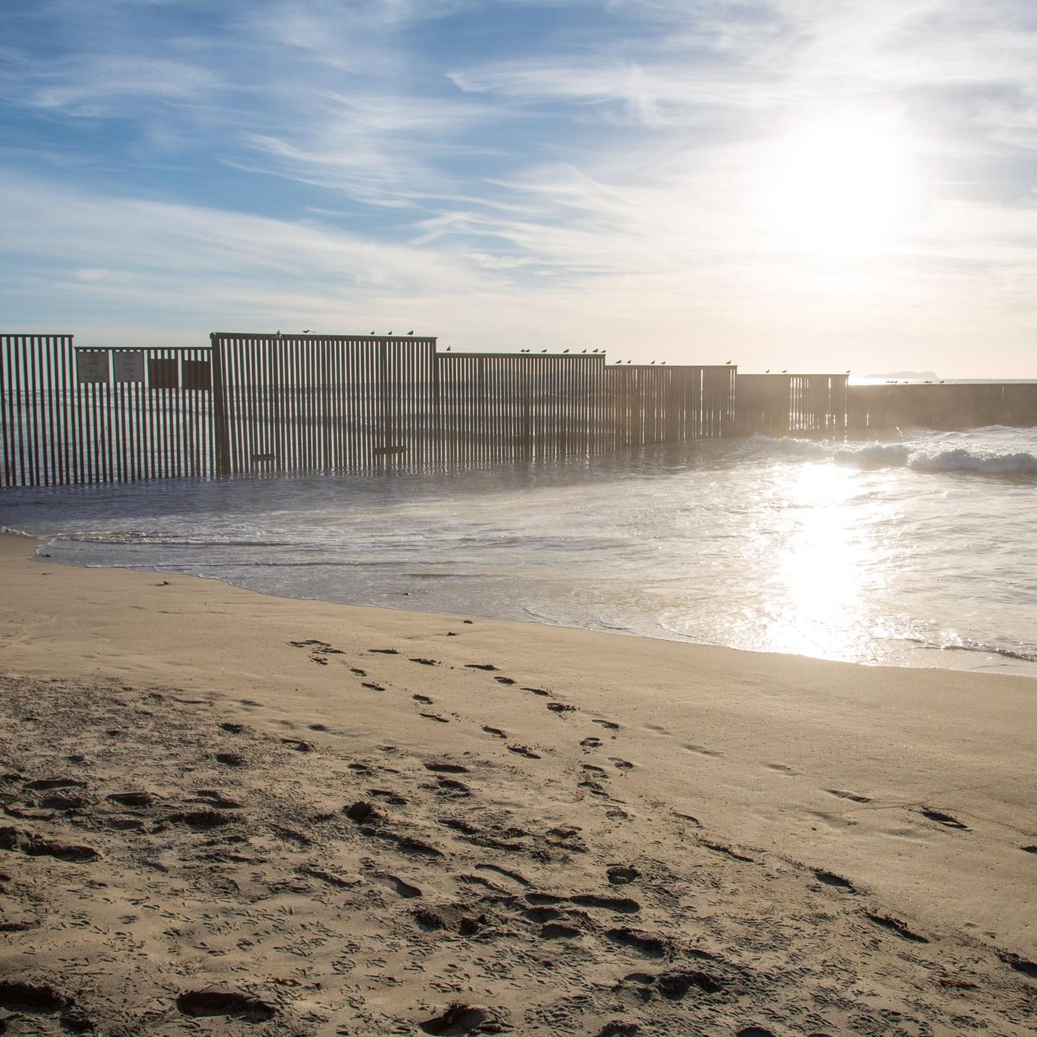
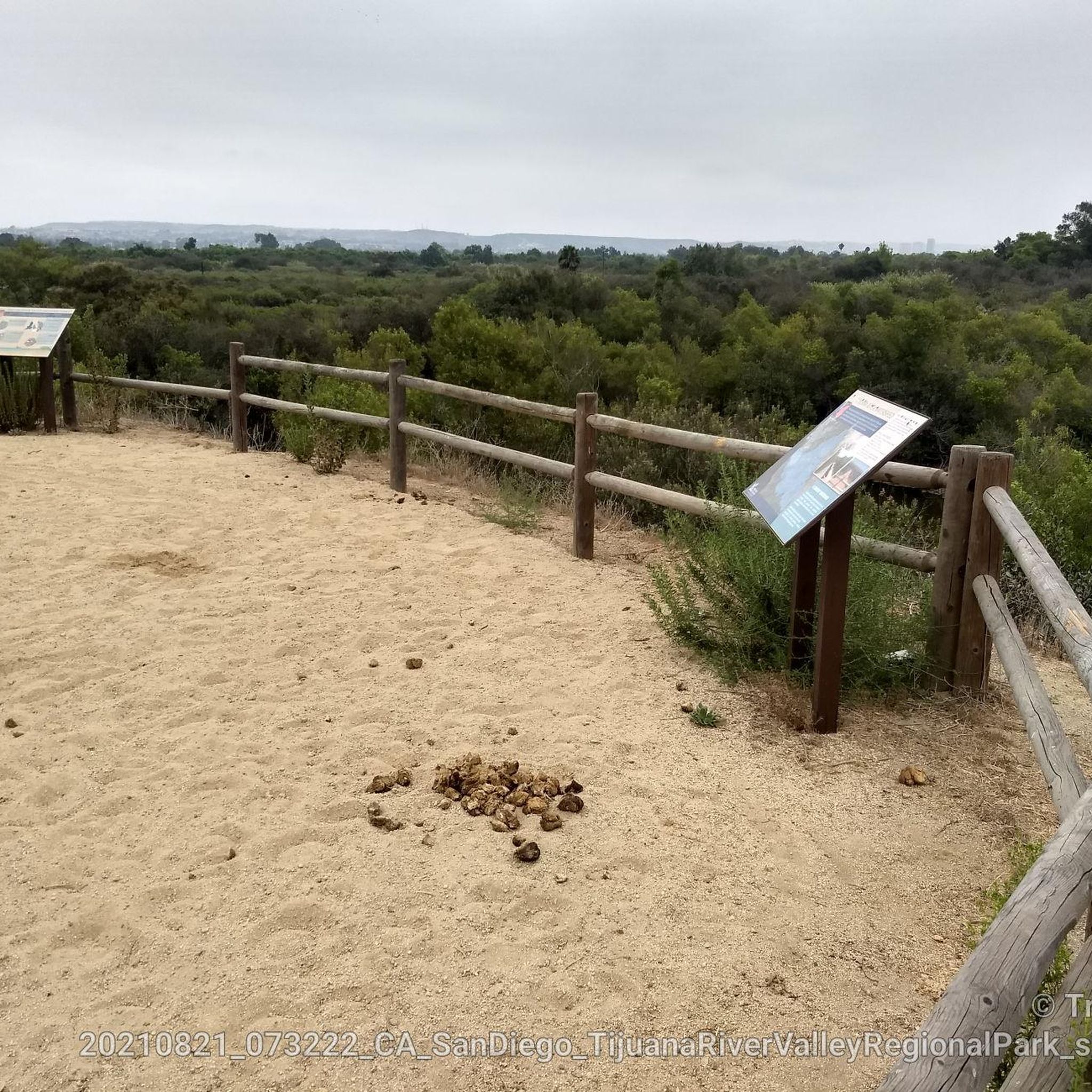
While cycling, you can experience expansive views of the salt and freshwater marsh, Imperial Beach, and Point Loma. The park is also home to Monument Mesa, where Border Monument number 258 marks the original U.S.-Mexico boundary. You can also observe the international border fence stretching into the ocean.
What is the best time of year to go road cycling in Border Field State Park?
The park is generally most accessible for summer use, typically re-opening in June after potential closures. It's crucial to check the park's current status before planning your trip, as closures due to flooding, sewage contamination, or border construction are frequent, especially from October through May.
What are the typical conditions for road biking in Border Field State Park during winter?
During winter, from October through May, Border Field State Park is frequently closed to vehicles, hiking, biking, and equestrian activities. This is due to flooding from storm activity, sewage-contaminated water, mud, and ongoing border fence construction. It is highly recommended to check the park's status before visiting in winter.
Where can I find parking for cyclists near Border Field State Park?
While the park's main access road (Monument Road) can be subject to closures, parking is generally available when the park is open. If the main gate is closed to vehicles, visitors can still walk or bike into the park, adding a 1.5-mile journey each way from the entrance.
Can I reach Border Field State Park by public transport with my bike?
Cyclists looking to extend their ride can connect to Border Field State Park from downtown San Diego via various bike lanes and paths. For public transport options, you would need to check local MTS bus routes for services that accommodate bikes, as specific routes to the park can vary.
Are there any cafes or restaurants near Border Field State Park for a post-ride refuel?
While the park itself provides picnic areas, for cafes and restaurants, you would typically need to venture into nearby Imperial Beach. This area offers various dining options for a post-ride meal or coffee.
What kind of wildlife might I encounter on road cycling routes in Border Field State Park?
Border Field State Park is part of the Tijuana River National Estuarine Research Reserve, a critical wildlife habitat. You might encounter numerous bird species, including critically threatened and endangered ones like the Western Snowy Plover and California Least Tern. Birdwatching is a popular activity, with over 370 species sighted in the refuge.
What are the difficulty levels of road cycling routes in Border Field State Park?
The routes in Border Field State Park cater to various ability levels. There are 7 easy routes, 5 moderate routes, and 1 difficult route. This variety allows cyclists to choose a path that matches their fitness and experience.
What do other road cyclists enjoy most about road cycling in Border Field State Park?
The area is highly rated by the komoot community, with an average score of 4.6 stars from over 200 reviews. Cyclists often praise the diverse estuarine environment, coastal paths, and the unique experience of cycling near the international border. The variety of routes for different skill levels is also a common highlight.
Are there any loop road bike trails in Border Field State Park?
Yes, many of the routes in Border Field State Park are designed as loops. For example, the Otay Reservoir Dam – Lower Otay Reservoir loop from Palomar Street is a popular moderate loop covering 50.7 miles. Another option is the Sweetwater Bikeway – Sweetwater River loop from Palomar Street.
Most popular routes in Border Field State Park

Get inspired with the komoot mobile app


Explore more
Browse the best Road cycling routes in other regions.
