The best walks and hikes in Santa Monica Mountains National Recreation Area
4.7
(348)
5,578
hikers
316
hikes
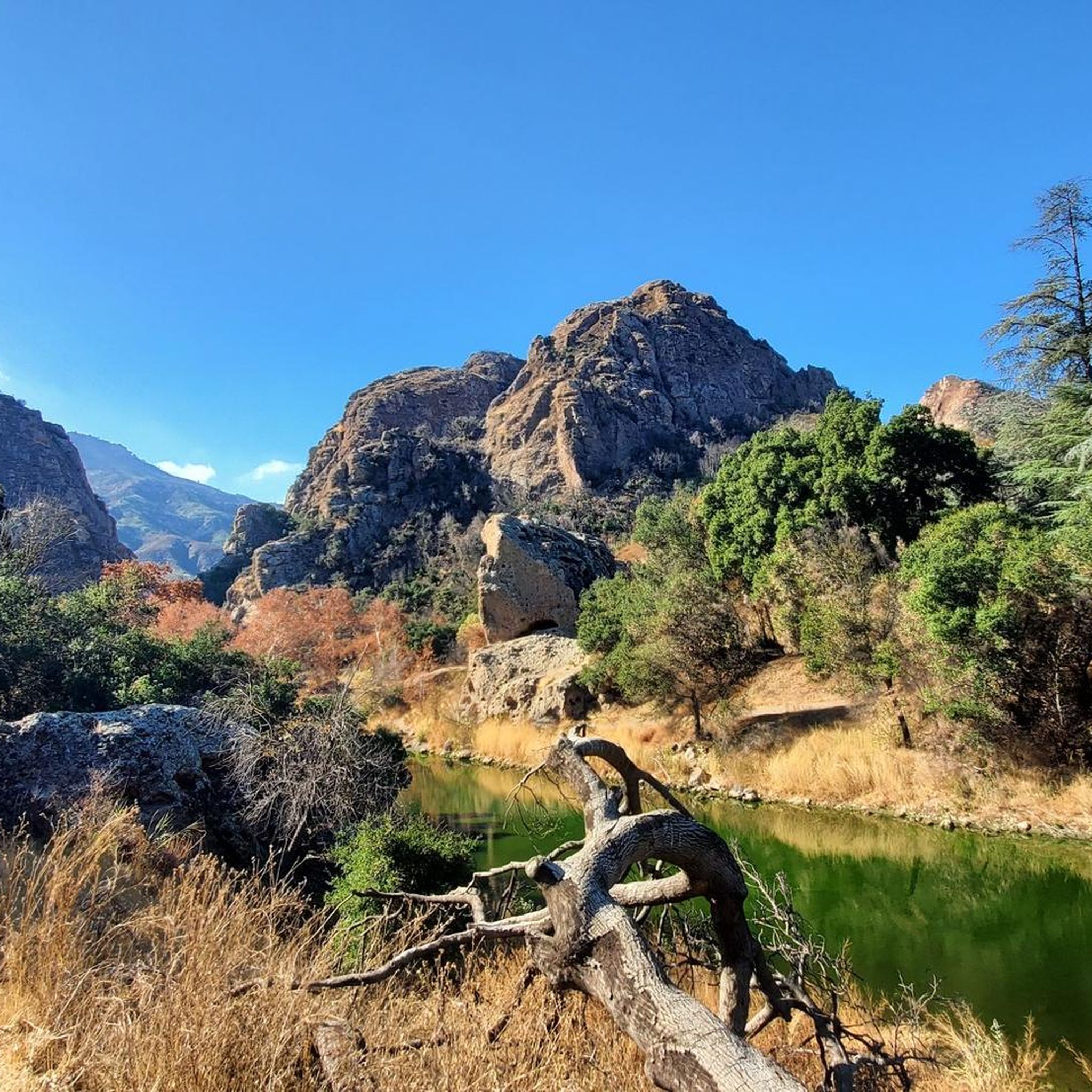
Hiking in Santa Monica Mountains National Recreation Area explores a vast urban park characterized by rugged canyons and steep slopes that descend toward the Pacific Ocean. The landscape is a coastal Mediterranean ecosystem, featuring a mix of chaparral-covered hillsides and oak woodlands. The area includes diverse terrain, from rugged coastlines and sandy beaches to rolling hills with steep rock formations and extensive oak and sycamore forests.
Best hiking trails in Santa Monica Mountains National Recreation Area
- The most popular hiking…
Last updated: August 31, 2026
5.0
(4)
30
hikers
20.7km
05:58
520m
520m
The Eagle Rock and Temescal Peak Loop Trail offers a quintessential Southern California hiking experience, winding through diverse terrain from wide fire roads to narrow single tracks. You'll pass through…
26
hikers
8.96km
02:44
340m
270m
The Inspiration, Roger's Road, and Rodeo Ridge Loop offers a quintessential Southern California hiking experience, blending arid mountain landscapes with sweeping coastal and city views. As you navigate the 5.6-mile…

Sign up for free
5.0
(1)
23
hikers
1.68km
00:28
40m
20m
The Point Dume Cove Trail offers a quintessential Southern California coastal experience, winding through sandy paths and boardwalks along dramatic bluffs. You'll be immersed in panoramic views of the Pacific…
18
hikers
11.7km
03:35
420m
420m
The Goat Peak via High Point and Rivas Ridge Loop offers a dynamic hiking experience through the Santa Monica Mountains, transitioning from open chaparral to the dense forest of Rivas…
21
hikers
2.43km
00:41
0m
140m
The Los Leones Trail offers an easy hiking experience, covering 1.5 miles (2.4 km) with a gentle elevation gain of 11 feet (3 metres), typically completed in about 41 minutes.…
Get access to more routes and recommendations from other explorers.
Sign up for free
Already have an account?
Our route recommendations are based on thousands of hikes, rides, and runs completed by other people on komoot.
Start today with a free account
Your next adventure awaits.
Login or Signup
Popular around Santa Monica Mountains National Recreation Area

Adventure Cycling Association's Bicycle Route 66 — LA to Chicago

California Coastal Trail — Following the coastline from Mexico to Oregon

On the most beautiful route of California - The Pacific Coast Route
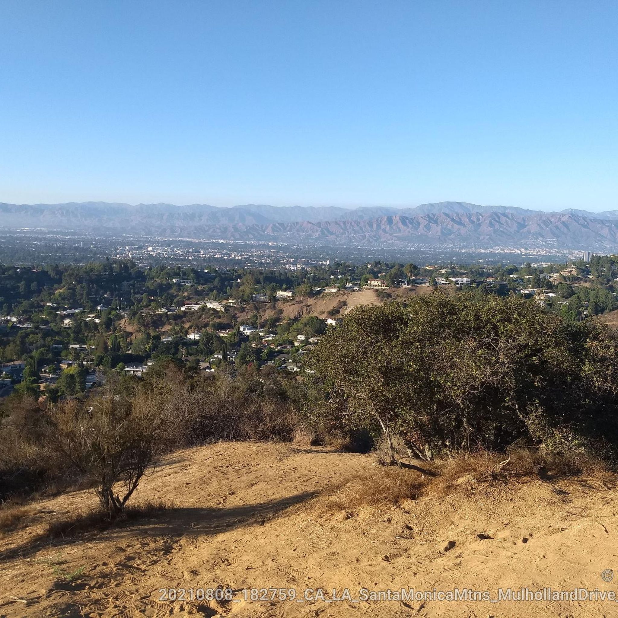
Road Cycling Routes in Santa Monica Mountains National Recreation Area
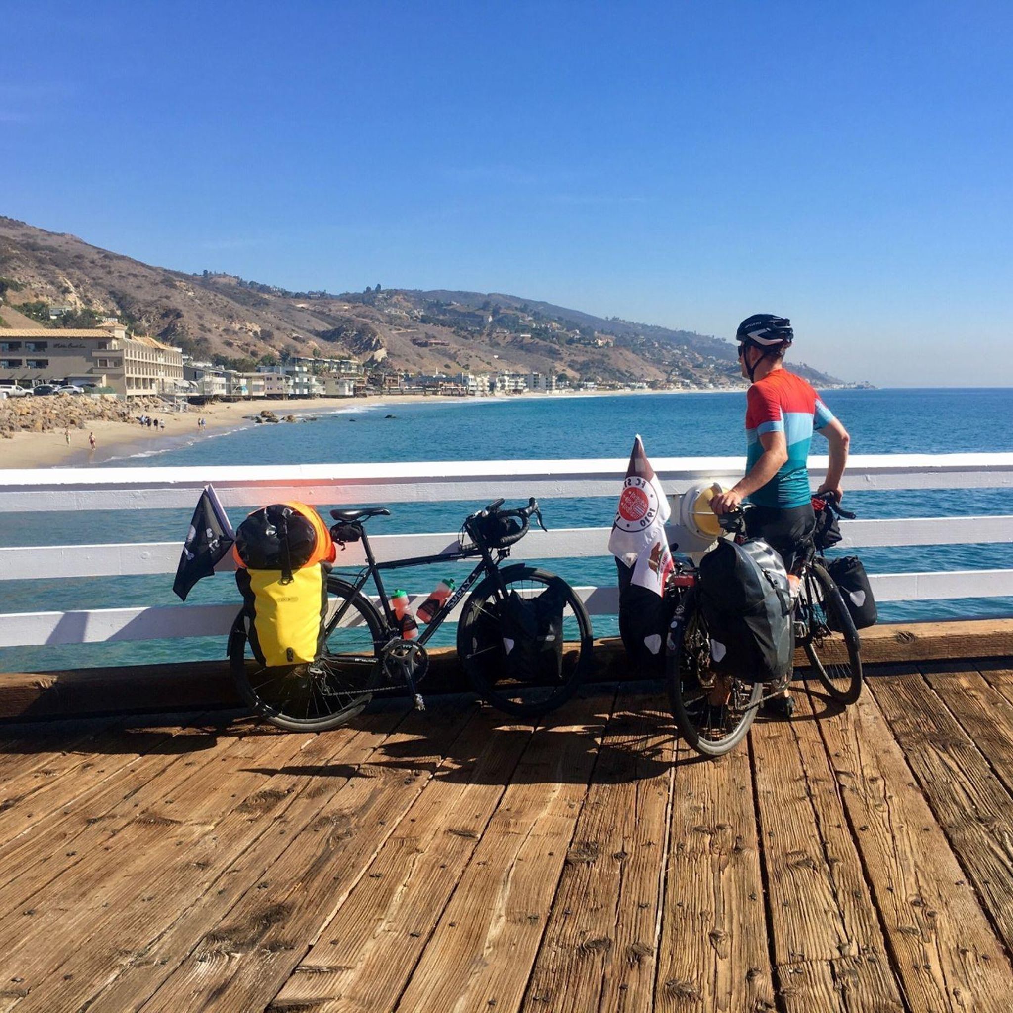
Cycling in Santa Monica Mountains National Recreation Area
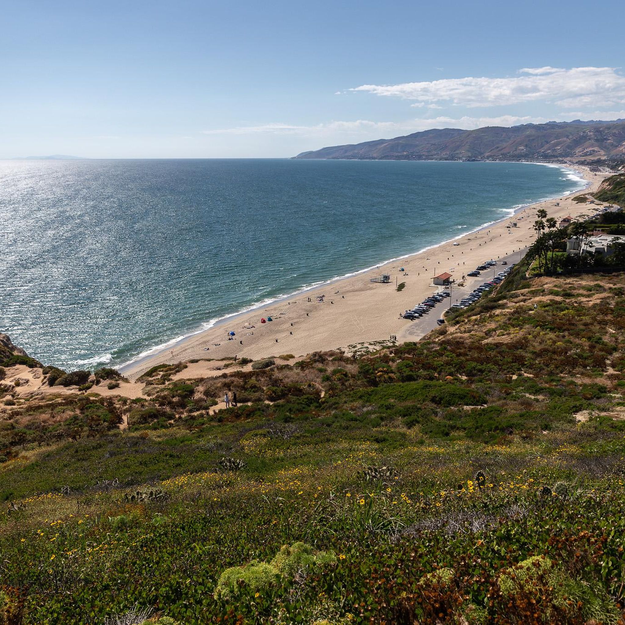
Running Trails in Santa Monica Mountains National Recreation Area
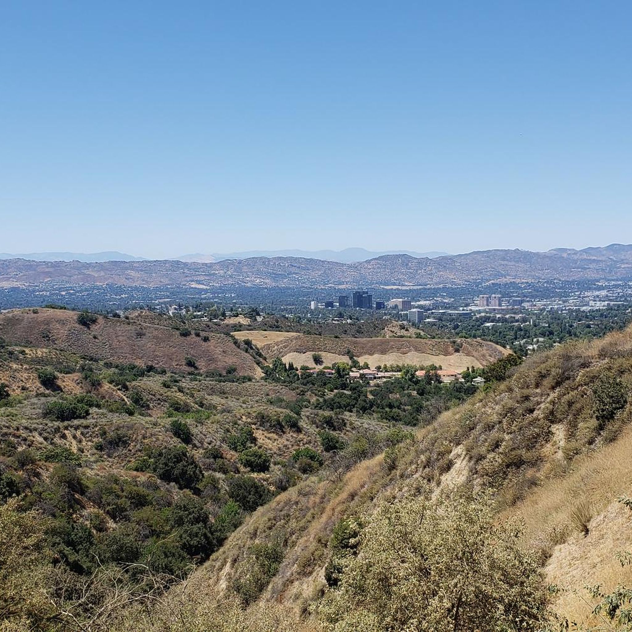
MTB Trails in Santa Monica Mountains National Recreation Area
Gravel biking in Santa Monica Mountains National Recreation Area
Other adventures in Santa Monica Mountains National Recreation Area


Tips from the Community

Topanga State Park has a lot of great trails, mostly for hikers; you have plenty of mountain bike options too, but only on the fire roads. No dogs allowed — sorry!
0
0

The Rogers farm had been a farm and continued operations, while at the same time focusing more on horses and residence. Some of the farm tools were exhibited for free, such as an old car from the time. The buildings were destroyed by the devastating fires of January 2025. The park is currently closed. Check online for updates https://www.parks.ca.gov/?page_id=626
1
0
Major trail intersection off the wide gravel road coming up from the main ranch building of Will Rogers State Park. Orientation maps and signs provide guidance.
1
0
Rodgers Ranch Rd /Backbone Trail runs from Will Rodgers State Historic Park to Temescal Peak. Here a side trail runs via High Point (Goat Peak) back south to Chautaqua road.
1
0
An unusual location this bridge connects two ridges and gives an unusual lofty view across the valley. The trail is narrow and loose gravel can be slippery, so the bridge makes this section safer.
1
0
While Rodeo Ridge runs parallel to Backbone Trail (Rodgers Ranch Rd), the Josepho Spur Trail runs northeast to Murphy's Ranch and Rustic Creek.
1
0
Great overlook with a perfect bench for a rest while enjoying the view across the Santa Monica Foothills toward West Hollywood
1
0
Sweeping panoramic overlook across Pacific Palisades, West LA, Santa Monica, and the Pacific Ocean bay at the junction of Paseo Miramar and Los Leones Trail
0
0
Frequently Asked Questions
Are there any easy, family-friendly hikes in the Santa Monica Mountains?
Yes, the area has many trails suitable for families and beginners. For a gentle walk with rewarding views, consider the Inspiration Point loop in Runyon Canyon Park. It's a relatively short circular trail that offers great city views without a strenuous climb.
Can I bring my dog on the trails?
Dogs are permitted on many trails within the Santa Monica Mountains National Recreation Area, but they must be on a leash no longer than six feet. However, dogs are generally not allowed on trails within state parks like Topanga State Park or Malibu Creek State Park. Always check the specific regulations for the trail you plan to hike.
Where can I find hikes with waterfalls?
Waterfalls in the Santa Monica Mountains are most impressive after winter and spring rains. While several popular trails feature them, a great alternative hike is the Parker Mesa via Los Liones Trail, which starts in a lush canyon and climbs to offer expansive ocean views. For specific waterfall conditions, it's always best to check recent trail reports.
Are there any shaded trails for hiking on hot days?
Yes, many of the canyons offer shade from oak woodlands. Trails that follow creeks or stay within the lower canyon elevations are your best bet for avoiding direct sun. Solstice Canyon and the lower sections of Temescal Canyon are well-known for their tree cover.
What are some popular places to hike in the Santa Monica Mountains?
Besides the main National Recreation Area, several parks are local favorites for hiking.
Malibu Creek State Park is highly regarded for its rugged terrain and rock pool swimming hole.
Solstice Canyon is another popular spot, known for its accessible trails that lead past historic ruins and to a seasonal waterfall.
Are there any circular walks available?
The Santa Monica Mountains offer numerous loop trails, which are perfect for exploring an area without backtracking. Many of the most popular routes are loops, providing varied scenery. You can find over 100 easy circular trails in the region, ranging from short nature walks to more substantial canyon circuits.
Do I need to pay for parking or entry?
Many trailheads within the Santa Monica Mountains National Recreation Area offer free parking. However, some popular locations and state parks like Malibu Creek State Park or Temescal Gateway Park have paid parking lots. It's wise to bring cash or a credit card, and arrive early on weekends as lots can fill up quickly.
Are there mountain lions or other dangerous wildlife?
Yes, the Santa Monica Mountains are a wild habitat home to wildlife including mountain lions, coyotes, and rattlesnakes. Encounters are rare, as these animals typically avoid humans. To stay safe, do not hike alone at dawn, dusk, or at night, and keep children close. Never approach or feed wildlife.
How many hiking trails are in the Santa Monica Mountains?
There are over 250 designated hiking routes in the Santa Monica Mountains National Recreation Area, covering more than 500 miles of trails. These range from easy, short walks to challenging, multi-day treks like the Backbone Trail.
Where can I find information on trail closures or alerts?
Before you go, it's essential to check for the latest trail conditions, closures, or safety alerts. The most reliable source for this information is the official National Park Service website for the area. You can find current updates on the NPS website.
What do other hikers think of the trails in this area?
The trails in the Santa Monica Mountains are highly rated by the komoot community, with an average score of 4.8 out of 5 stars. Hikers frequently praise the stunning ocean views, the variety of landscapes from canyons to ridges, and the accessibility of true wilderness so close to Los Angeles.
Are there any hikes that feature historical sites?
Yes, you can combine hiking with history in this region. The ruins of the Tropical Terrace house in Solstice Canyon offer a glimpse into Malibu's past. Additionally, you can visit Paramount Ranch, a historic movie ranch with trails winding through old film sets.
Most popular routes in Santa Monica Mountains National Recreation Area
Most popular attractions in Santa Monica Mountains National Recreation Area

Get inspired with the komoot mobile app


Explore more
Browse the best Hikes in other regions.
