The best running trails in Fond Wilderness Preserve
194
runners
11
runs
Jogging in Fond Wilderness Preserve offers diverse environments within Southern California, characterized by ridge trails, native flora, and views of the Verdugo Mountains and San Fernando Valley. The preserve features undulating terrain, with trails that can be rugged and overgrown, providing a natural setting for running. This wilderness area is maintained without significant human infrastructure, offering a primitive form of recreation. Joggers can experience the local California ecosystem, with trails winding through chaparral and coastal sage scrub.
Best jogging routes…
Last updated: July 10, 2026
3
runners
10.2km
01:05
110m
110m
Moderate run. Good fitness required. Mostly paved surfaces. Suitable for all skill levels.
3
runners
12.9km
01:35
290m
290m
Moderate run. Good fitness required. Mostly accessible paths. Some sure footedness required.

Sign up for free
3
runners
5.77km
00:36
30m
30m
Moderate run. Good fitness required. Mostly paved surfaces. Suitable for all skill levels.
17
runners
10.4km
01:37
560m
560m
Hard run. Very good fitness required. Mostly paved surfaces. Suitable for all skill levels.
10
runners
11.9km
01:36
410m
410m
Hard run. Very good fitness required. Mostly paved surfaces. Suitable for all skill levels.
Get access to more routes and recommendations from other explorers.
Sign up for free
Already have an account?
Our route recommendations are based on thousands of hikes, rides, and runs completed by other people on komoot.
Start today with a free account
Your next adventure awaits.
Login or Signup


Tips from the Community

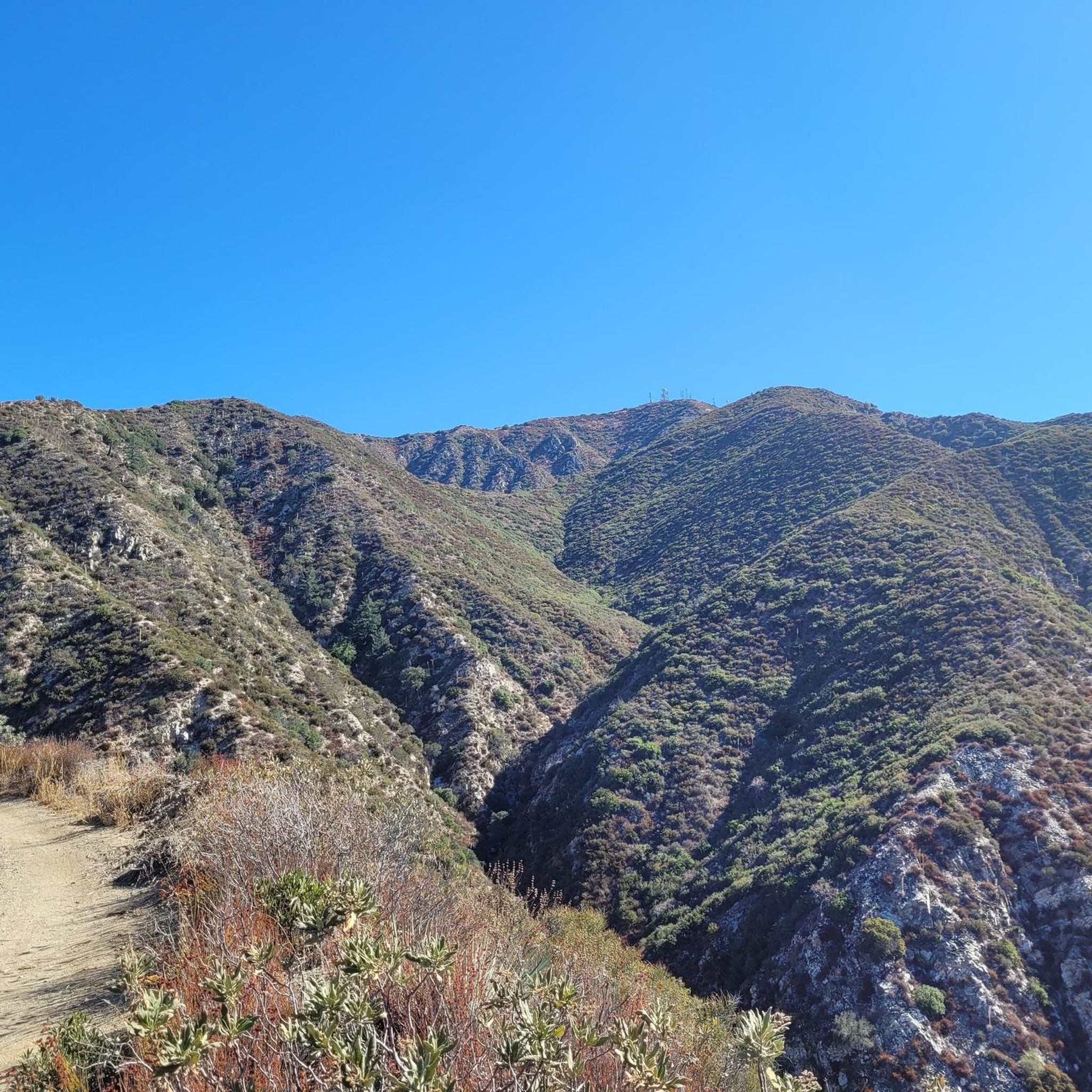
You can approach this 3,124-foot peak from several directions, but the multi-use Verdugo Motorway is the most common uphill option.
0
0

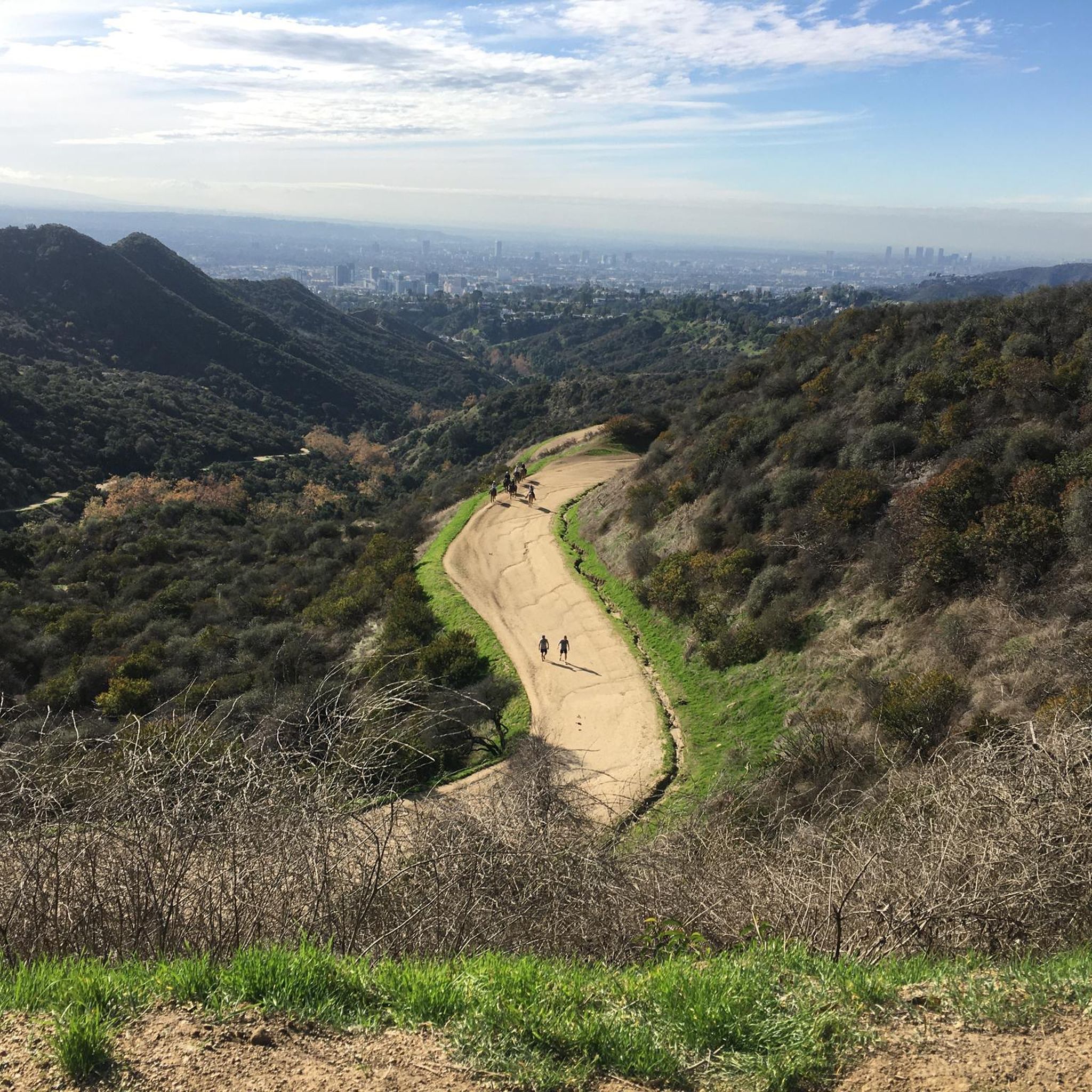
MRCA Open Space is managed by the Mountains Recreation and Conservation Authority, which oversees 75,000 acres of public parkland and open space owned by the Santa Monica Mountains Conservancy, this space offers great views and shaded trails for a refreshing and tranquil biking experience.
1
0
LA City Open Space provides a pleasant ride through a lush forest just moments away from the city. The space offers good shade provided by the trees, enhancing the overall biking experience.
0
0

The Wildwood Canyon trail is a fun, but incredibly steep and challenging trail that more or less heads straight up Wildwood Canyon, linking up with the Vital Link Trail and the Verdugo Motorway. Aided by occasional series of short switchbacks and steps, this scenic, steep trail is a fantastic outing for anyone looking to get their heart rates up! There are small spur trails off the main Wildwood Canyon Trail that either link back with the main trail or with a parallel road that you can use to shorten (or lengthen!) your hike.
0
0
Verdugo Peak stands at 1835 feet and is a remote feeling summit off of the Verdugo Motorway. This sunny summit grants you fantastic views across the Verdugo Mountains and the valley below. In the spring there are often wildflowers along the motorway.
0
0

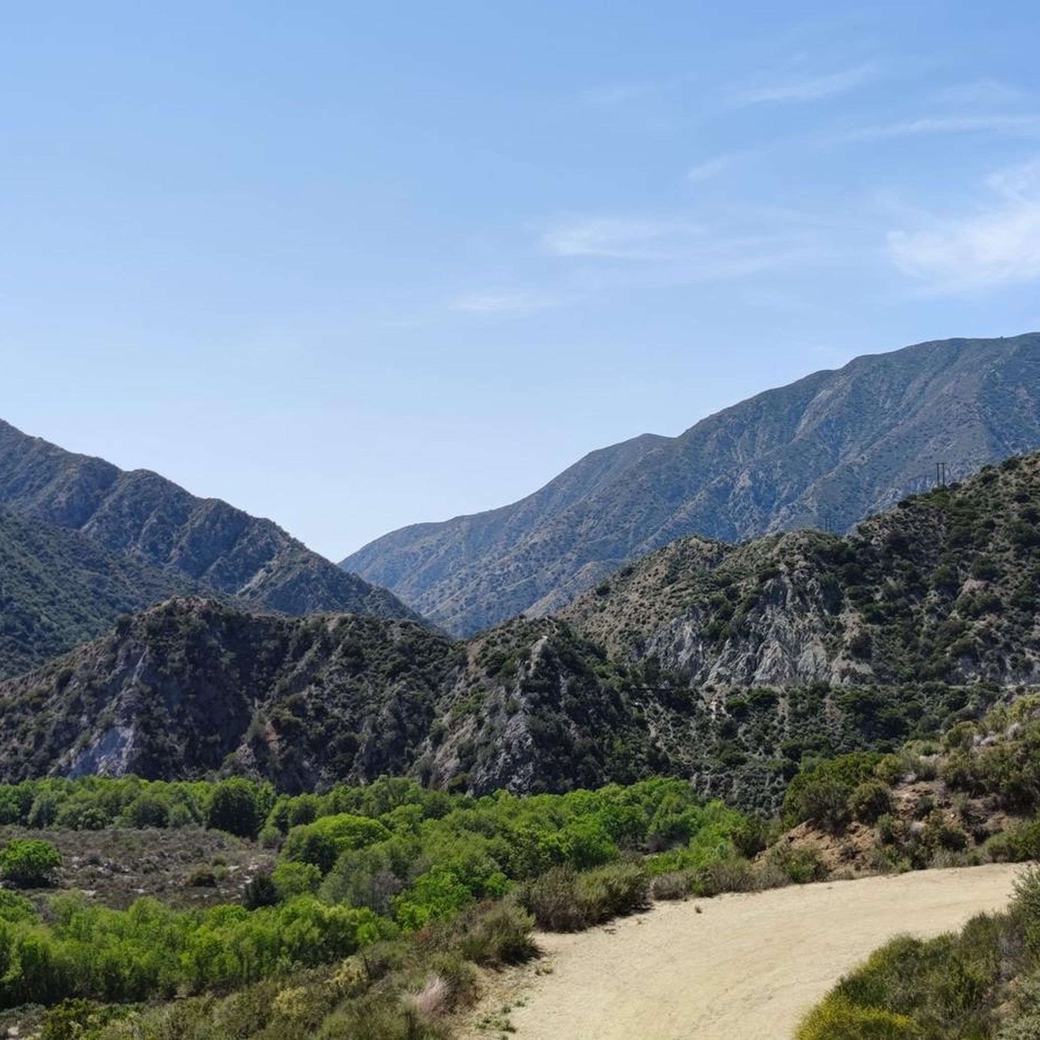
The Verdugos is a mountain range offering a fantastic array of adventures away from the urban sprawl in every direction. Mountain biking and gravel riding are particularly great, because you can follow quiet tracks to epic viewpoints just like this one.
0
0
Frequently Asked Questions
How many running routes are available in the Fond Wilderness Preserve area?
There are over 10 dedicated running routes documented in the Fond Wilderness Preserve area, catering to various preferences and skill levels. These routes offer diverse experiences, from scenic lakeside paths to more challenging trails through natural preserves.
Are there any easy or beginner-friendly jogging trails in Fond Wilderness Preserve?
While the guide lists several moderate and difficult routes, the Fond du Lac area offers options suitable for beginners. For instance, the Running loop from Woodbury University is a moderate 5.6 km path, and the Running loop from Whiteman Airport is a moderate 9.5 km route. For very easy, flat runs, consider sections of the Lakeside Park paths or the Wild Goose State Trail, which are generally flat and well-maintained.
What kind of terrain can I expect on the jogging routes in Fond Wilderness Preserve?
The terrain in the Fond Wilderness Preserve area is quite varied. You'll find flat, paved paths ideal for easy runs, especially around Lakeside Park and along the Riverwalk. Other routes, like those in Hobbs Woods Nature Area, offer more natural, unpaved trails through wooded areas. Some routes, such as the Verdugo Peak loop from Starlight Bowl, feature significant elevation changes, making them more challenging.
Are there any long-distance running options for experienced runners?
Yes, for longer runs, the Wild Goose State Trail offers an extensive 34-mile rail-trail experience, perfect for those looking to cover significant distances. Additionally, routes like the Verdugo Peak loop from Tuna Canyon Detention Station, at 13.8 km, and the Verdugo Peak loop from Starlight Bowl, at 13.3 km, provide challenging distances with considerable elevation gain.
Are the running trails in Fond Wilderness Preserve dog-friendly?
Many natural areas in the Fond du Lac region are dog-friendly. For example, Hobbs Woods Nature Area is a popular spot where dogs are welcome on the trails, provided they are kept on a leash. It's always a good idea to check specific park regulations before heading out with your furry friend.
What are some scenic viewpoints or natural features to look out for while running?
The region boasts several picturesque spots. Lakeside Park offers stunning views of the water, including Fraser Point Lookout, the Lighthouse, and Fountain Island. The Wild Goose State Trail is known for its natural corridor and opportunities for birdwatching, with over 250 bird species. Hobbs Woods Nature Area is beautiful with wildflowers, and Kiekhaefer Park provides excellent views of the surrounding landscape.
Are there any circular running routes in the area?
Yes, several routes are designed as loops, offering a continuous running experience. The Wildwood Canyon Trail loop from Starlight Bowl is a 10.3 km challenging loop. The Running loop from Woodbury University is a moderate 5.6 km loop, and the Running loop from Whiteman Airport is a moderate 9.5 km loop.
What is the best time of year to go jogging in Fond Wilderness Preserve?
The Fond Wilderness Preserve area offers year-round jogging opportunities. Spring and fall provide pleasant temperatures and beautiful scenery, with wildflowers in spring and vibrant foliage in autumn. Summer is also popular, especially for lakeside and shaded trails. In winter, some parks like Kiekhaefer Park are suitable for snowshoeing and cross-country skiing, and many trails remain accessible for running, though conditions may vary.
Are there any family-friendly jogging routes?
For families, the flatter, paved sections of Lakeside Park and the Fond du Lac Riverwalk are excellent choices, offering easy surfaces and scenic views without significant elevation changes. These areas are generally well-maintained and provide a safe environment for all ages.
Where can I find parking for the running trails?
Parking availability varies by location. For popular spots like Lakeside Park, there are designated parking areas. For state trails like the Wild Goose State Trail, trailheads often have parking lots. For specific routes, it's best to check the individual route details on komoot for precise parking information. Generally, most parks and preserves in the Fond du Lac area offer visitor parking.
Are there any cafes or amenities near the jogging routes?
Yes, especially in and around Fond du Lac. Lakeside Park is close to city amenities. The Riverwalk and South Brooke Paths are located in central Fond du Lac, putting you near various cafes, restaurants, and other services. For trails further out, like the Wild Goose State Trail, amenities might be found in nearby towns along the route.
What are the difficulty levels of the running trails in this region?
The running trails in the Fond Wilderness Preserve area range from moderate to difficult. According to komoot data, there are 3 moderate routes and 7 difficult routes. Moderate trails typically have some elevation changes or varied terrain, while difficult routes, such as the Verdugo Peak loop from Starlight Bowl, feature significant climbs and descents over longer distances.
Most popular routes in Fond Wilderness Preserve

Get inspired with the komoot mobile app


Explore more
Browse the best Running Trails & Routes in other regions.
