Upper Las Virgenes Open Space Preserve
Upper Las Virgenes Open Space Preserve
The best road cycling routes in Upper Las Virgenes Open Space Preserve
4.5
(42)
3,913
riders
111
rides
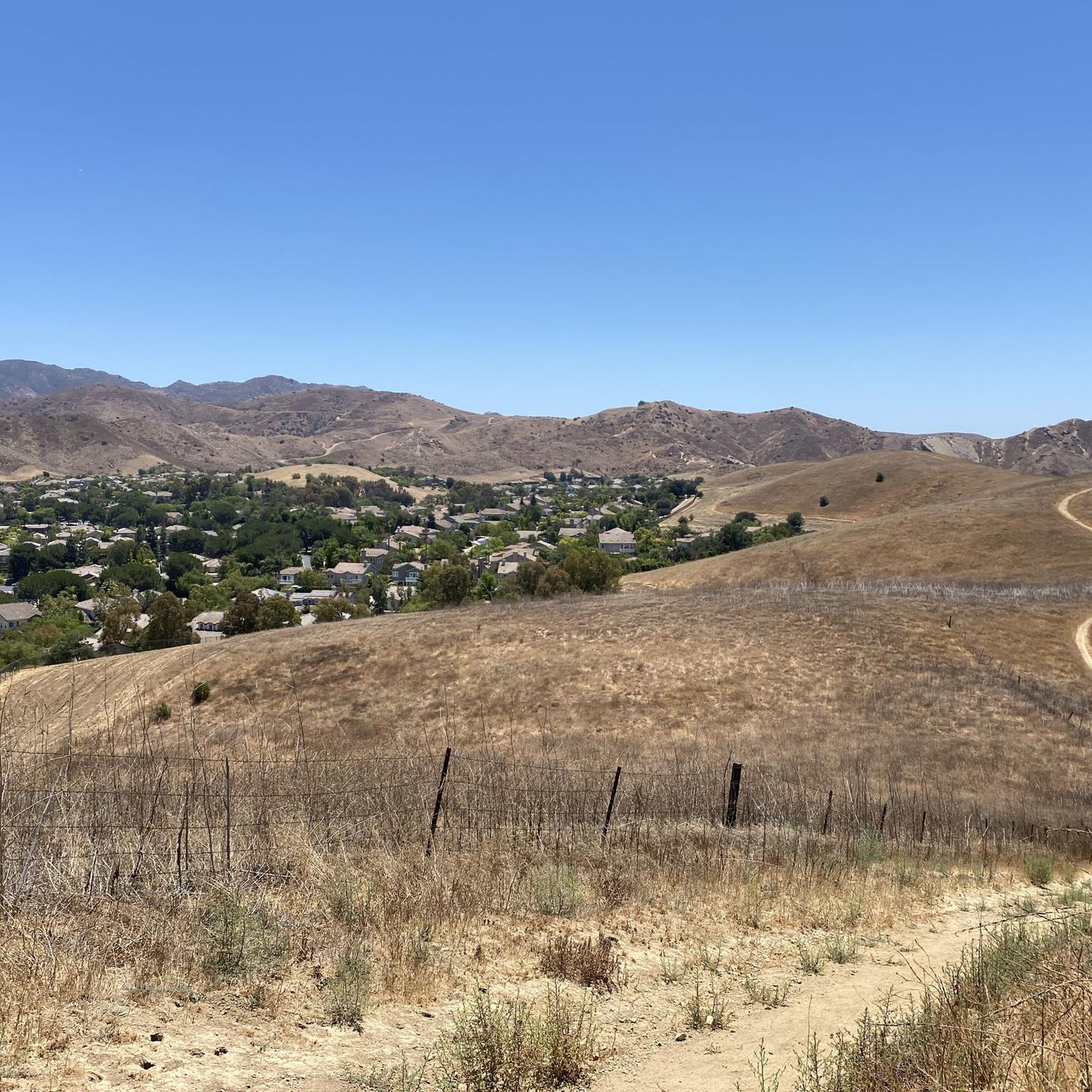
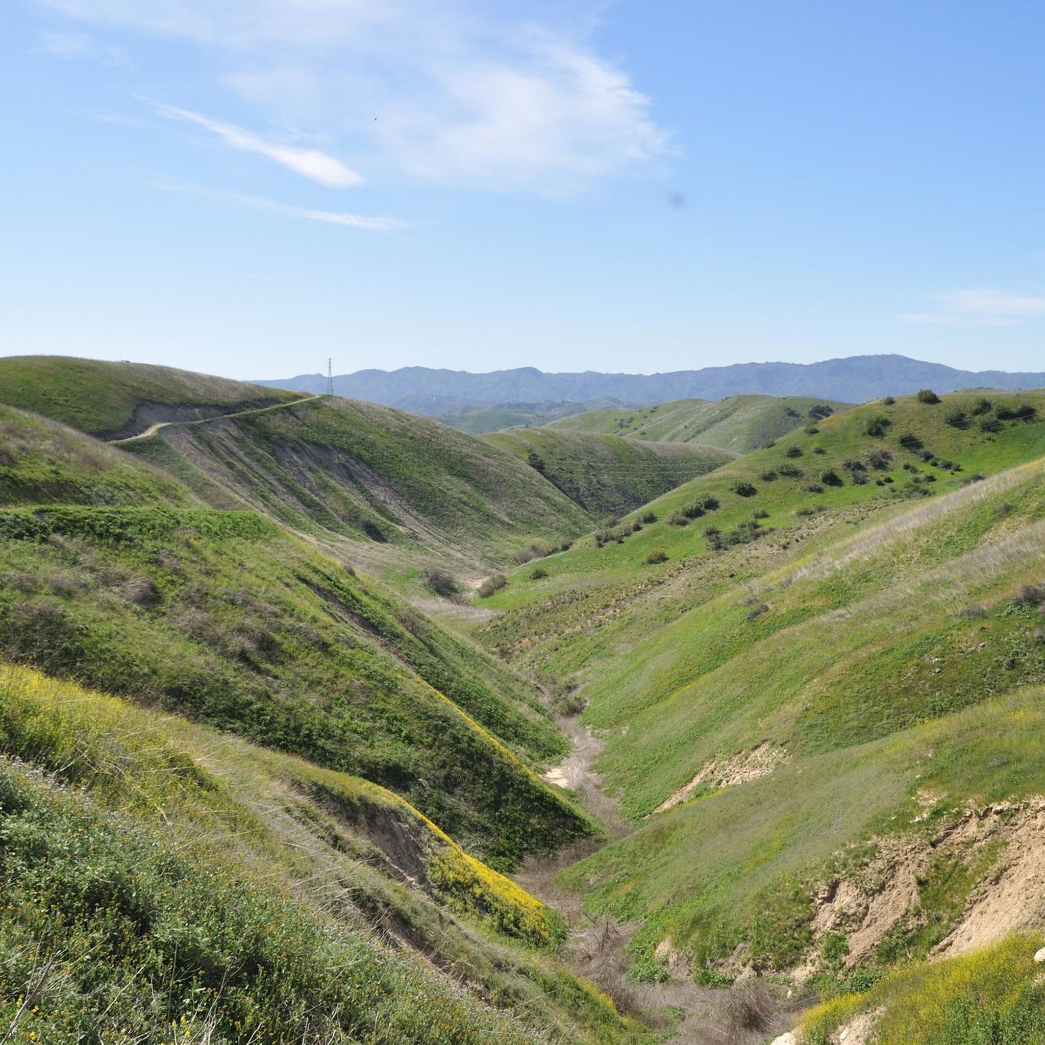
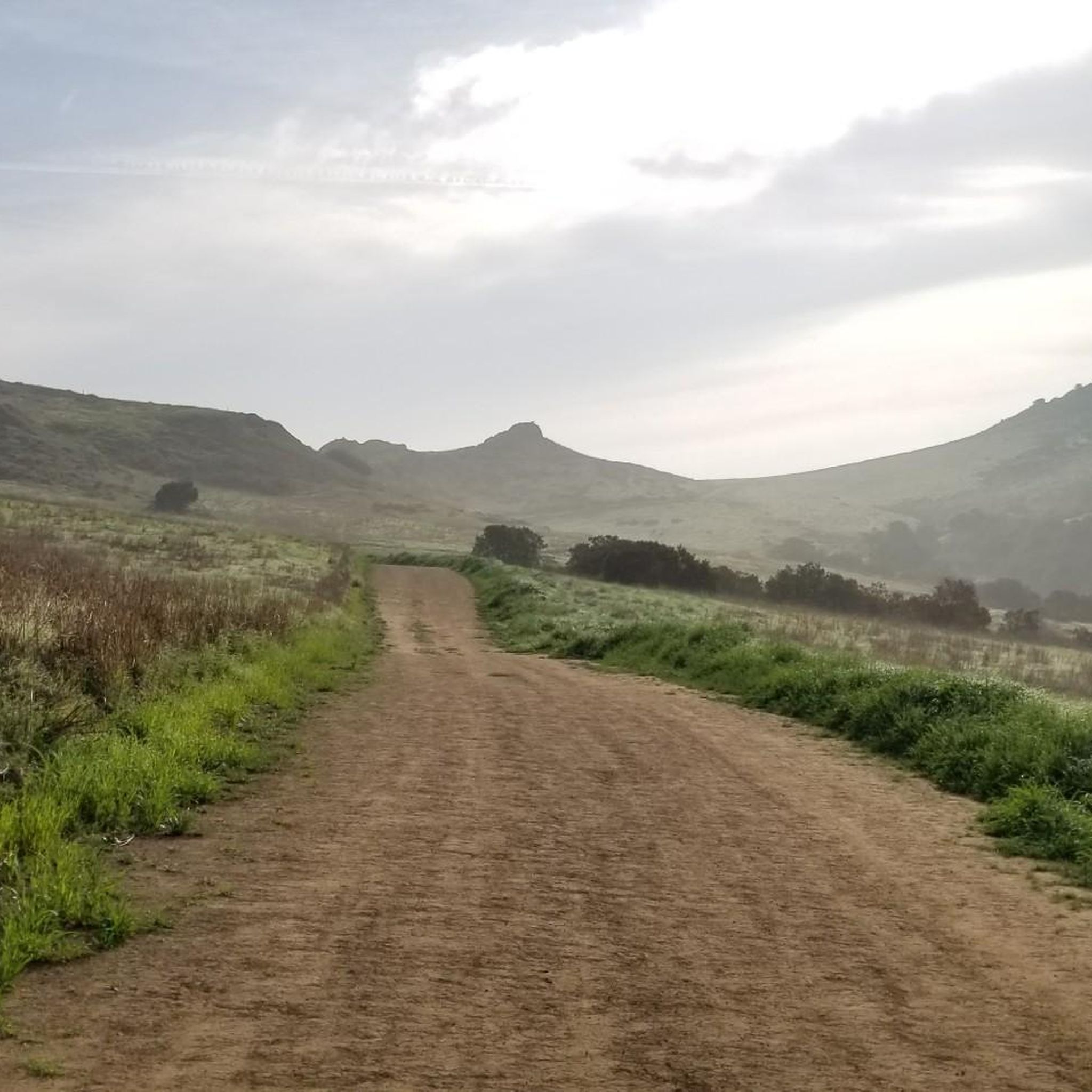
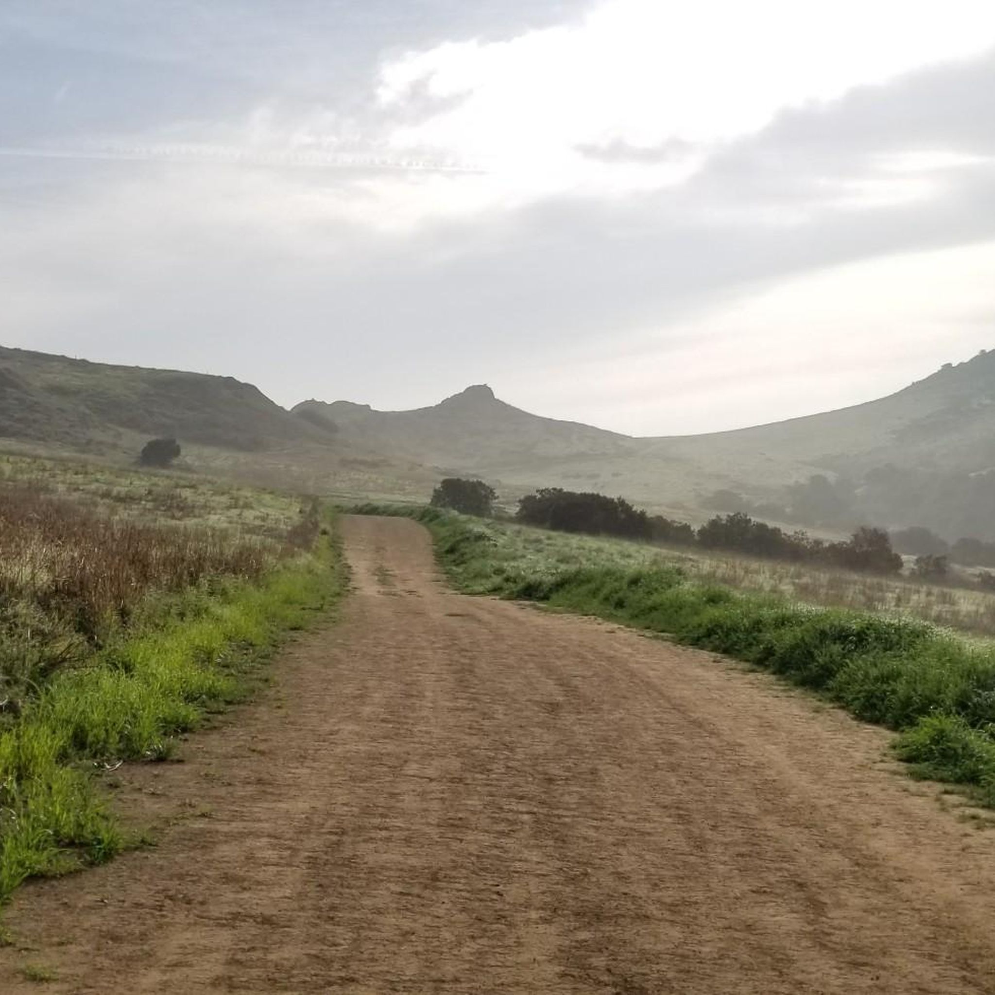
Road cycling routes in Upper Las Virgenes Open Space Preserve traverse a landscape characterized by rolling hills, expansive grasslands, and sycamore-lined canyon bottoms. The preserve features an extensive network of trails, including wide fire roads and smoother paths, suitable for road and gravel bikes. Cyclists can experience varied terrain, from gentle inclines to more challenging climbs, offering diverse riding experiences. This area provides broad vistas of the Santa Monica Mountains and the San Fernando Valley.
Best road cycling routes in…
Last updated: October 13, 2026
77
riders
Hard road ride. Very good fitness required. Mostly well-paved surfaces and easy to ride.
47
riders
36.8km
01:47
500m
500m
Moderate road ride. Good fitness required. Mostly well-paved surfaces and easy to ride.

21
riders
Hard road ride. Very good fitness required. Mostly well-paved surfaces and easy to ride.
8
riders
Hard road ride. Very good fitness required. Some segments of this route may be unpaved and difficult to ride.
7
riders
105km
05:39
1,870m
1,870m
Hard road ride. Very good fitness required. Mostly well-paved surfaces and easy to ride.
Get access to more routes and recommendations from other explorers.
Already have an account?
Our route recommendations are based on thousands of hikes, rides, and runs completed by other people on komoot.
Start today with a free account
Your next adventure awaits.
Popular around Upper Las Virgenes Open Space Preserve
Tips from the Community

Malibu Road departs from the Pacific Coast Highway and travels down closer to the water. This is a great way for cyclists to avoid the busy highway while also being able to admire the view with less traffic to worry about.
0
0

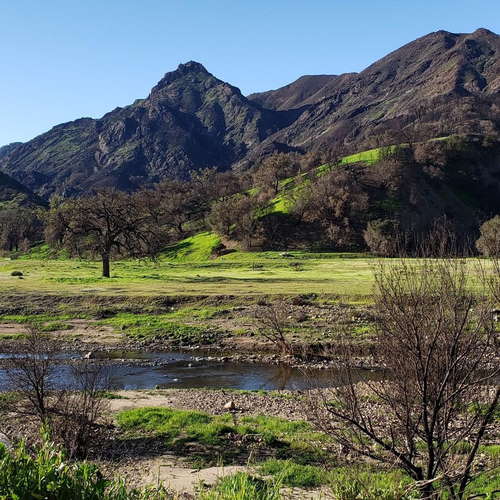
Tucked in the Santa Monica Mountains near Agoura Hills, Malibou Lake is a private reservoir surrounded by rustic homes and hillsides dotted with oak trees. Created in 1922, the Medea and Triunfo creeks feed the reservoir, which sits adjacent to Malibu Creek State Park. The lake has a long history as a Hollywood filming location, most notably Frankenstein (1931)—the iconic scene of the monster and a little girl.
0
0

While bike paths through Malibu are 'here now" and suddenly gone and you're in traffic, there are few places as pleasant to visit by bicycle as Malibu. Be sure to bike up Malibu Road, but if you're adventurous and in good shape, take the bottom of Mulholland rd (from far north of Malibu) up to the valley side of the canyon. You can then reward yourself with a long downhill ride on curvy Decker. (You'll be on your breaks for miles). This is a great town to lunch, coffee or just watch the waves.
0
0
Pedalers Fork is a unique combination of a restaurant, bar, coffee shop, and boutique bike shop in the heart of Calabasas. It offers delicious farm-to-table dining and artisan coffee with a casual vibe and a great patio, making it a fantastic place to relax after a ride.
0
0
This stretch of West Potrero Road is incredibly scenic, offering breathtaking views whether you're traveling east toward the rolling hills or west toward the coastline. The winding path provides a perfect backdrop for picturesque sunsets, making it a delightful route for both a leisurely ride or a fast-paced descent.
0
0

Dan Blocker Beach, a 15.2-acre stretch of bluff and beach with over a mile of ocean frontage, attracts surfers and divers. Visitors also go swimming, fishing, and soak up the sun on this sandy, narrow beach. In 2014, the county added a public viewing area, parking, ADA-compliant restrooms, ocean-facing benches, and picnic tables.
1
0

Beautiful area, green everywhere
5
0

Food, coffee and tools
1
0
Frequently Asked Questions
What kind of terrain can I expect when road cycling in Upper Las Virgenes Open Space Preserve?
The preserve offers a diverse landscape for road cycling, characterized by rolling hills, expansive grasslands, and sycamore-lined canyon bottoms. You'll find miles of trails, including wide fire roads and smoother paths, suitable for both road and gravel bikes. The terrain varies from gentle inclines to more challenging climbs, accommodating different fitness levels.
What are the difficulty levels for road cycling routes in Upper Las Virgenes Open Space Preserve?
Road cycling routes in the preserve range from moderate to difficult. While many trails are considered 'middle-chainring rides' and accessible for a broader range of cyclists, some routes feature significant elevation gains, with climbs up to 1,000 feet or more. For example, the Malibu Lagoon State Beach – Dan Blocker Beach loop is rated difficult, while the Topanga – Wild Walnut Park loop is moderate.
Are there any family-friendly road cycling options in Upper Las Virgenes Open Space Preserve?
Yes, the preserve offers routes that are accessible for a broader range of cyclists, including those looking for less technical rides. Many trails are wide and smooth, making them suitable for families. While specific 'easy' road cycling routes are available, it's always good to check the route details for distance and elevation to ensure it matches your family's capabilities. There are 17 easy routes available in the preserve.
What natural features and landscapes will I see while cycling in the preserve?
Cyclists can enjoy a scenic journey through rolling hills dotted with valley oaks and sycamore-lined canyon bottoms. Expansive grasslands provide broad vistas, and in spring, the hillsides burst with vibrant wildflower displays. The preserve is also home to spectacular sandstone rock formations and protects diverse habitats, including the headwaters of Malibu Creek.
What landmarks or viewpoints can I discover along the road cycling routes?
The preserve offers several notable landmarks and viewpoints. You can enjoy expansive views of the Santa Monica Mountains, the San Fernando Valley, and the Las Virgenes Canyon from various vantage points, such as Laskey Mesa. The unique geological formation of the Albertson Motorway is a popular spot, and the historic Upper Las Virgenes Canyon Ranch house offers a glimpse into the area's past. The Victory Trailhead is also a key access point.
Where can I park my car when visiting Upper Las Virgenes Open Space Preserve for cycling?
Key access points for the preserve include the Victory Trailhead and the Upper Las Virgenes Canyon Trailhead. These locations typically offer parking facilities for visitors looking to access the cycling trails.
When is the best time of year to go road cycling in Upper Las Virgenes Open Space Preserve?
Spring is an especially beautiful time to visit, as the hillsides transform with vibrant wildflower displays, adding an extra layer of scenic beauty to your ride. However, the preserve offers enjoyable cycling experiences throughout much of the year, with varied landscapes to appreciate in different seasons.
How many road cycling routes are available in Upper Las Virgenes Open Space Preserve?
There are over 100 road cycling routes available in Upper Las Virgenes Open Space Preserve. These routes cater to various preferences and skill levels, offering diverse riding experiences across the preserve's unique terrain.
What do other road cyclists enjoy most about cycling in Upper Las Virgenes Open Space Preserve?
The area is highly rated by the komoot community, with an average score of 4.6 stars from over 25 reviews. Reviewers often praise the diverse terrain, from rolling hills to canyon bottoms, and the broad vistas of the Santa Monica Mountains and San Fernando Valley. The extensive network of trails, including wide fire roads and smoother paths, is also frequently highlighted.
Are there any long-distance road cycling routes for experienced riders?
Yes, for experienced riders seeking a challenge, the preserve offers longer and more demanding routes. For instance, the Melhorn Overlook loop from Zev Yaroslavsky Las Virgenes Highlands Park covers over 105 km with significant elevation gain, and the Malibu Lagoon State Beach – Dan Blocker Beach loop is a difficult 113 km trail.
Can I find routes that connect to other areas outside the immediate preserve?
Yes, many routes within the preserve connect to other paths, allowing for varied loop options and extending your ride beyond the immediate boundaries. For example, the Topanga Beach – Malibu Lagoon State Beach loop provides expansive views and connects to numerous other paths, offering opportunities to explore a wider region.
Most popular routes in Upper Las Virgenes Open Space Preserve
Most popular attractions in Upper Las Virgenes Open Space Preserve

Get inspired with the komoot mobile app


Explore more
Browse the best Road cycling routes in other regions.
