The best road cycling routes in Charmlee Wilderness Park
5.0
(3)
745
riders
23
rides
Road cycling routes in Charmlee Wilderness Park are situated in the Malibu area, offering access to scenic paved roads with significant elevation changes. The park itself is perched on a bluff, providing panoramic views of the Pacific Ocean and the Malibu coastline. While internal park trails are unpaved, the surrounding region features varied terrain including expansive meadows, oak groves, and rocky outcroppings, suitable for road cycling on external roads. This area is characterized by its coastal environment and diverse natural…
Last updated: October 13, 2026
5.0
(1)
52
riders
Moderate road ride. Good fitness required. Mostly well-paved surfaces and easy to ride.
11
riders
36.5km
02:33
1,010m
1,010m
Hard road ride. Very good fitness required. Mostly well-paved surfaces and easy to ride.

4
riders
18.0km
01:08
480m
480m
Moderate road ride. Good fitness required. Mostly well-paved surfaces and easy to ride.
10
riders
23.8km
01:22
530m
530m
Moderate road ride. Good fitness required. Mostly well-paved surfaces and easy to ride.
5.0
(1)
66
riders
Easy road ride. Great for any fitness level. Mostly well-paved surfaces and easy to ride.
Get access to more routes and recommendations from other explorers.
Already have an account?
Our route recommendations are based on thousands of hikes, rides, and runs completed by other people on komoot.
Start today with a free account
Your next adventure awaits.
Popular around Charmlee Wilderness Park
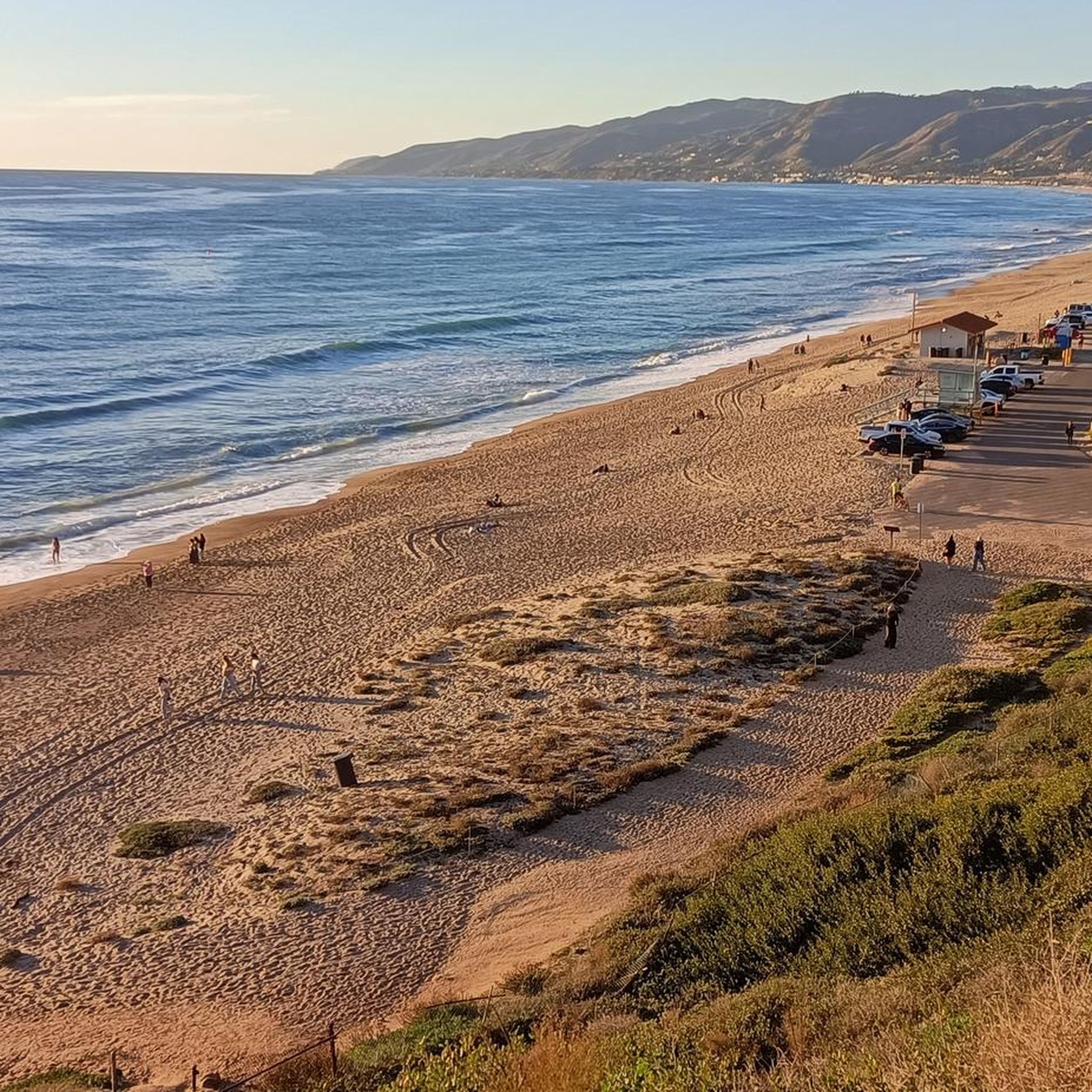
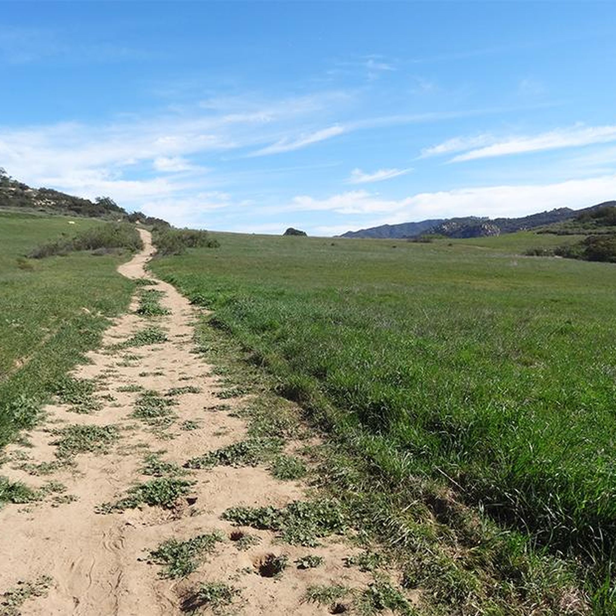
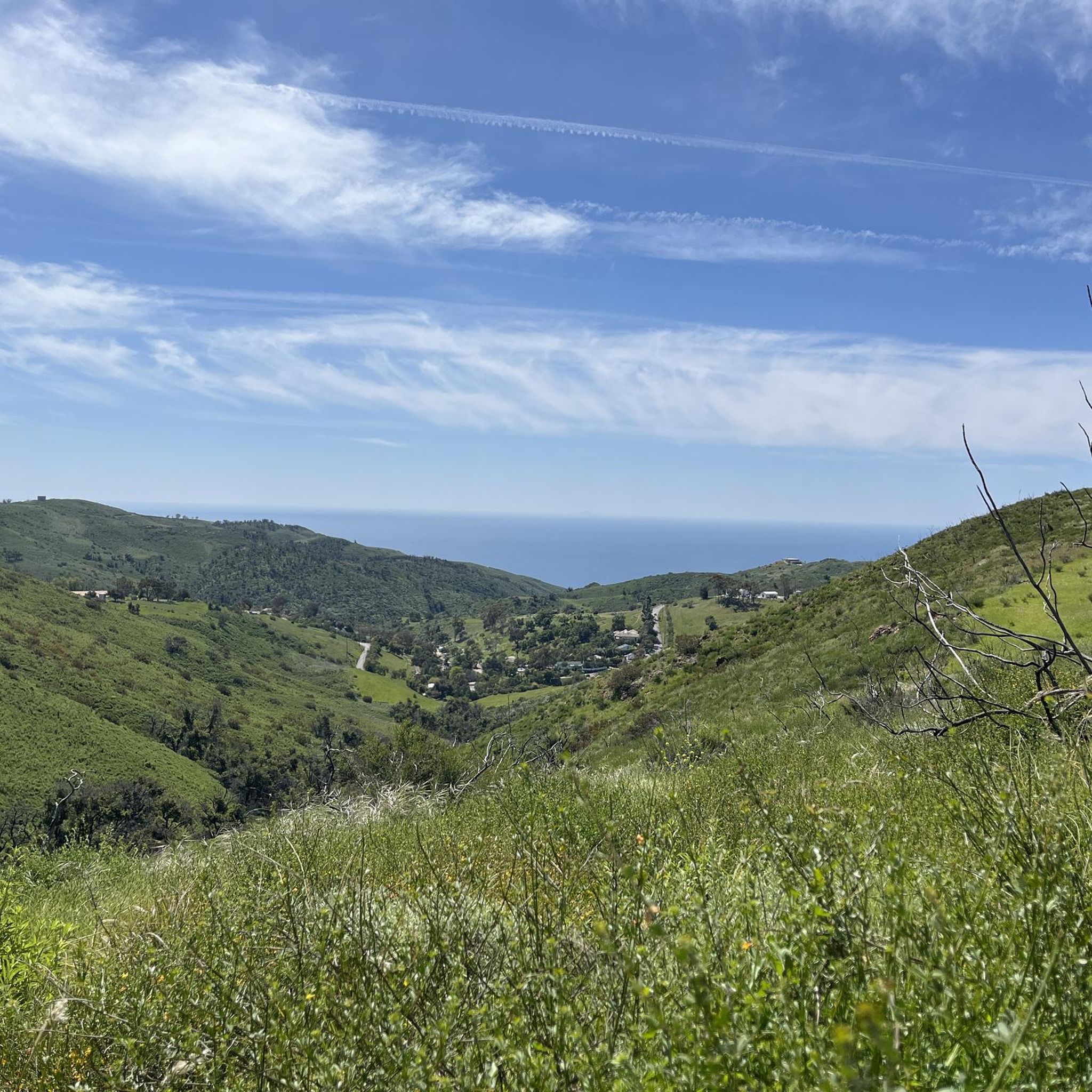
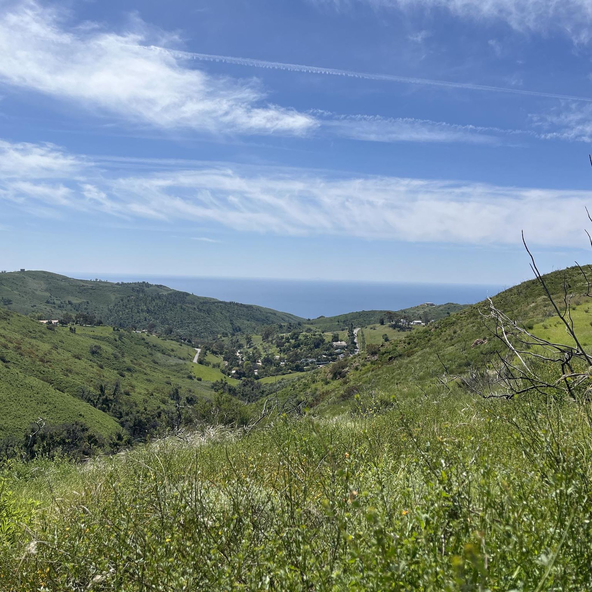
Tips from the Community

Circle X Ranch features a few different trailheads off of Yerba Buena Road that offer access to different spots on the property. This particular access point serves as the trailhead for the Grotto Trail.
1
0

This is a common turnaround point for bikers in search of great views from the slopes of Barney Knob. You can make it part of a loop ride, too, but in that case you'll be looking at road-bike distances.
0
0

Neptunes nest is an infamous seafood restaurant with excellent views of the Pacific and beach. Its a perfect spot to take a break and enjoy the views whilst having a bite to eat.
0
0

Encinal Canyon Road has great views of the coast and the ocean.
0
0

Nestled in the canyons above Malibu, Circle X Ranch is a hidden gem that offers breathtaking views of the Channel Islands and the Topatopa Mountains. This former Boy Scout camp is a haven for exploration, with many trails that wind through its unique coastal Mediterranean ecosystem. The sprawling ranch is home to a variety of fascinating creatures, including blue-bellied lizards and scrub jays. If you're lucky enough to be here during twilight, keep your eyes peeled for a glimpse of the elusive gray fox, which can sometimes be spotted roaming the grounds.
0
0
The rolling mountain views from this road are fantastic and particularly so during golden hour. The road is lovely too with fast sweeping bends to blast through.
0
0

Leo Carrillo State Park is a 2,513-acre park on the Malibu coast and is part of the Santa Monica Mountains National Recreation Area. It offers swimming, surfing, fishing, as well as an inland campground and backcountry hiking trails.
0
0

La Sierra Preserve is 130 acres in size. This area is made up of willow riparian habitat, oak woodland, mixed riparian woodland, coastal sage scrub, wetlands, grassland, and chaparral.
0
0
Frequently Asked Questions
How many road cycling routes are available in Charmlee Wilderness Park?
There are over 20 road cycling routes available in the Charmlee Wilderness Park area. These routes cater to various skill levels, with options ranging from easy to difficult.
What kind of terrain can I expect on road cycling routes in Charmlee Wilderness Park?
Road cycling routes in the Charmlee Wilderness Park area primarily feature well-paved roads with significant elevation changes. You can expect varied terrain, including coastal roads, expansive meadows, and views of oak groves and rocky outcroppings. The park itself is perched on a bluff, offering panoramic views of the Pacific Ocean and the Malibu coastline.
Are there routes suitable for beginners or families?
Yes, there are several routes suitable for beginners or families. For example, the Leo Carrillo State Park Beach – Leo Carillo State Park loop from Zuma Beach is an easy 21.0-mile route that offers scenic riding through the coastal environment. There are 3 easy routes in total, providing gentler options for those new to road cycling or riding with family.
What are the most scenic viewpoints along the road cycling routes?
The road cycling routes in the Charmlee Wilderness Park area offer breathtaking panoramic views of the Pacific Ocean and the Malibu coastline. On clear days, you can often see the Palos Verdes Peninsula, Catalina, and the Channel Islands. While the park's internal trails feature the historic Ranch House Ruins and the captivating Ocean Overlook, the surrounding roads provide continuous coastal vistas.
Are there any loop trails for road cycling?
Yes, many of the road cycling routes in the Charmlee Wilderness Park area are designed as loops. For instance, the popular Barney Knob loop from Robert H. Meyer Memorial State Beach is a 14.7-mile loop offering coastal views and significant elevation gain. Another option is the South Beach – Leo Carillo State Park loop from MRCA Open Space, a moderate 14.8-mile loop along the coast.
What is the best time of year for road cycling in Charmlee Wilderness Park?
The Charmlee Wilderness Park area is generally pleasant for road cycling year-round due to Malibu's mild climate. Spring is particularly beautiful, as the park transforms with a vibrant display of wildflowers, including orange monkeyflower, sage, lupines, and mustard. Always check local weather conditions before heading out.
Is there parking available for road cyclists?
Yes, parking is available at Charmlee Wilderness Park itself, which can serve as a starting point for rides on the surrounding paved roads. The park is open from 8 a.m. to sunset daily. Many of the komoot routes also start from other accessible locations like Robert H. Meyer Memorial State Beach or Zuma Beach, which typically offer parking facilities.
Are there places to eat or drink near the road cycling routes?
The Charmlee Wilderness Park area, being in Malibu, has various cafes and restaurants nearby. While the park itself offers picnic areas for a mid-ride break, you'll find dining options in the surrounding Malibu communities to refuel after your ride.
Are dogs allowed on the road cycling routes?
Dogs are welcome on leash within the internal trails of Charmlee Wilderness Park. For road cycling, which primarily takes place on external paved roads, local regulations for pets on public roads apply. It's always best to ensure your dog is safe and leashed if accompanying you on any part of your ride.
What kind of surface can I expect on the road cycling routes?
The road cycling routes in the Charmlee Wilderness Park area are characterized by mostly well-paved surfaces. While the internal park trails are unpaved and better suited for hiking or mountain biking, the routes designed for road cycling utilize the excellent paved roads in the surrounding Malibu region.
Are there challenging road cycling routes for experienced riders?
Absolutely. The Charmlee Wilderness Park area offers 8 difficult road cycling routes for experienced riders seeking a challenge. These routes often feature significant elevation gains and longer distances. An example is the Leo Carrillo State Park Beach – Barney Knob loop from Nicholas Canyon County Beach, a demanding 27.4-mile route with over 3,500 feet of elevation gain.
What do other road cyclists say about the routes in Charmlee Wilderness Park?
The road cycling routes in Charmlee Wilderness Park are highly rated by the komoot community, with an average score of 5.0 stars from 2 reviews. Over 800 road cyclists have used komoot to explore the varied terrain, often praising the Pacific Ocean views, coastal roads, and the diverse challenges offered by the elevation changes.
Most popular routes in Charmlee Wilderness Park

Get inspired with the komoot mobile app


Explore more
Browse the best Road cycling routes in other regions.
