The best MTB trails in Castle Rock State Park
4.7
(116)
831
riders
36
rides
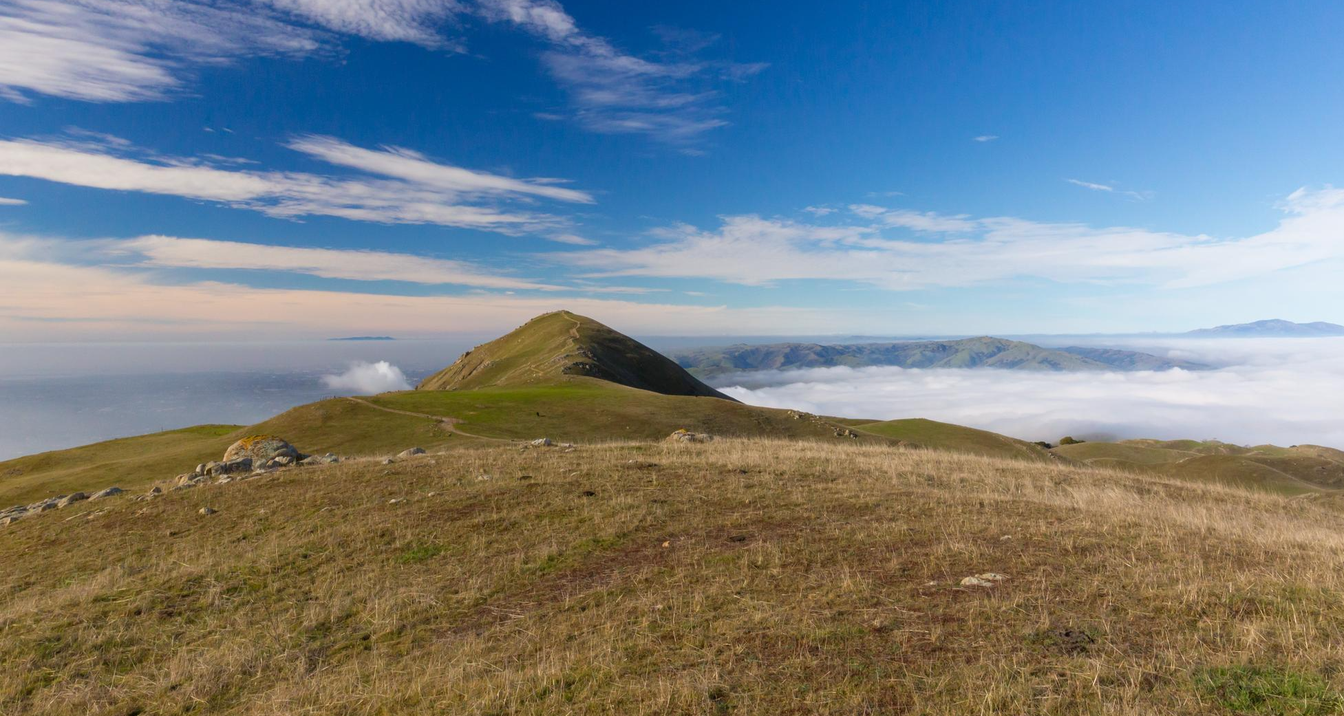
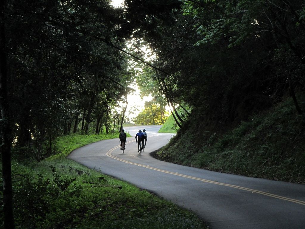
Mountain biking in Castle Rock State Park offers a diverse range of trails within Santa Cruz County. The park is characterized by its varied terrain, including forested areas, open ridges, and significant elevation changes, providing a dynamic environment for mountain bikers. These natural features contribute to a network of routes that cater to different skill levels, from gentle climbs to more demanding descents. The landscape provides a mix of challenging and accessible paths for exploring the region.
Best mountain bike trails in Castle Rock State Park
- The most popular mountain bike trail is Hickory Oaks Trail – Turtle Rock Viewpoint loop from Saratoga Gap Open Space Preserve, a 16.6 miles (26.7 km) trail that takes 2 hours 42 minutes to complete. This moderate route features varied terrain and scenic viewpoints.
- Another top favourite among local mountain bikers is Saratoga Gap – Turtle Rock Viewpoint loop from Saratoga Gap Open Space Preserve, a moderate 4.8 miles (7.8 km) path. This route offers a shorter option to experience the park's natural beauty, including views from Turtle Rock.
- Local mountain bikers also love the Saratoga Gap – Turtle Rock Viewpoint loop from Sanborn County Park, a 18.6 miles (30.0 km) trail leading through forested areas and offering significant elevation gain, often completed in about 3 hours 10 minutes.
- Mountain biking in Castle Rock State Park is defined by forested areas, open ridges, and varied elevation changes. The network offers options for different ability levels, from easy to difficult.
- The routes in Castle Rock State Park are highly rated by the komoot community with an average score of 4.8 stars from over 90 reviews. More than 700 mountain bikers have used komoot to explore Castle Rock State Park's varied terrain.
Last updated: October 11, 2026
5.0
(1)
16
riders
30.8km
03:13
770m
770m
Moderate mountain bike ride. Good fitness required. Advanced riding skills necessary.
5.0
(1)
8
riders
11.6km
01:11
290m
290m
Easy mountain bike ride. Great for any fitness level. Suitable for all skill levels.

8
riders
Moderate mountain bike ride. Great for any fitness level. Advanced riding skills necessary.
5.0
(1)
6
riders
Moderate mountain bike ride. Good fitness required. Suitable for all skill levels.
4.9
(26)
136
riders
Moderate mountain bike ride. Good fitness required. Suitable for all skill levels.
Get access to more routes and recommendations from other explorers.
Already have an account?
Our route recommendations are based on thousands of hikes, rides, and runs completed by other people on komoot.
Start today with a free account
Your next adventure awaits.
Popular around Castle Rock State Park



Other adventures in Castle Rock State Park


Tips from the Community

Borel Hill is my favorite place to watch spring flowers. The western slope near ancient oaks (5-10min west of Borel Hill) are covered with orange California Poppies and purple flowers starting in April. Borel Hill itself peaks around mid May and has a wide variety of flowers. The show lasts only a few weeks until end of May. The peak time and flower intensity varies from year to year, so come several times between April and May. There is small summit NW of Borel Hill and a narrow dirt trail leads you to a rock within 2 min. The rock is big enough for 2-3 to sit on. On a sunny day, the rock is nice warm even if the air is cold. Good views on the ocean and the Bay.
1
0

This section of the Skyline Trail offers shade and occasional viewpoints overlooking the forest and valley. It's a beautiful, well-marked trail that's also shared with mountain bikers.
0
0
From here, you get a great view of the forest and valley, with the Santa Clara Mountains in the background. It’s a nice spot to stop for a picnic and take in the scenery. The trail continues upward, but this spot is perfect if you’re just looking for a good viewpoint.
0
0

Turtle Rock is the highest and most prominent mountain in the area. From this viewpoint, you can enjoy a panoramic view of the surrounding mountains, especially stunning at sunset. Be cautious, as the trail is popular and often busy with hikers.
1
0

The Peak is a 3,005-foot mountain in Santa Clara County. The high point is marked by a large mossy rock, a short distance away from the end of the trail. This is a great, challenging summit for any mountain biker.
1
0

Long Ridge Open Space Preserve is a 2,035-acre preserve that follows Long Ridge in the Santa Cruz Mountains. There are a variety of trails that can be used for hiking, biking, or horse riding. This is a dirt trail area, so it is more suited for gravel bikes or a stout touring bike; a hardtail would be ideal. In addition, this is a preserve and not a park, so there are no facilities that you would normally expect in a park, such as bathrooms, drinking water fountains, picnic tables, snack bars, or stores.
1
0
At the convergence of the Long Ridge Trail and Long Ridge Road, you will find the Wallace Stegner Bench. This overlook was one of the favorite places of author and conservationist Wallace Stegner. There are panoramic views of the Santa Cruz Mountains and the Pacific Ocean to be had from here. However, if you come up by bike, the dirt trail is best suited for a touring bike with decent tires or a gravel bike.
1
0
Saratoga Gap is a well-known convergence area for two well-known trails, namely the Saratoga Gap Trail and the Skyline Trail. Both of these trails are mainly single-track and orientated towards gravel or mountain bikes. However, it is also the intersection for the Skyline Boulevard and the Big Basin Way, both very scenic and great cycling roads. There is a car park here, but no facilities.
1
0
Frequently Asked Questions
What types of mountain bike trails can I find in Castle Rock State Park?
Castle Rock State Park offers a diverse range of mountain bike trails, characterized by varied terrain including forested areas, open ridges, and significant elevation changes. You'll find options suitable for different skill levels, from easy paths to more demanding descents. Overall, there are 33 mountain bike routes available, with 10 easy, 17 moderate, and 6 difficult trails.
Are there any beginner-friendly mountain bike trails in Castle Rock State Park?
Yes, Castle Rock State Park has 10 easy mountain bike trails suitable for beginners or those looking for a more relaxed ride. These routes generally feature less challenging terrain and elevation changes, allowing riders to enjoy the park's natural beauty at a comfortable pace.
What are some challenging mountain bike trails for advanced riders?
For experienced mountain bikers seeking a challenge, Castle Rock State Park offers 6 difficult routes. One such demanding trail is the Saratoga Gap – Summit of Sanborn County Park loop from Saratoga, which spans 35.1 km and features significant elevation gain, often taking over 3 hours to complete.
Are there any loop trails for mountain biking in Castle Rock State Park?
Yes, many of the mountain bike routes in Castle Rock State Park are designed as loops. For example, the popular Hickory Oaks Trail – Turtle Rock Viewpoint loop from Saratoga Gap Open Space Preserve is a 26.7 km moderate loop that offers varied terrain and scenic viewpoints.
What is the typical length and duration of mountain bike trails in the park?
Trail lengths and durations vary significantly. You can find shorter routes like the Saratoga Gap – Turtle Rock Viewpoint loop from Saratoga Gap Open Space Preserve, which is 7.8 km and takes under an hour to complete. Longer, more challenging routes, such as the Turtle Rock Viewpoint – Borel Hill loop from Long Ridge Open Space Preserve, can be up to 28.9 km and take around 3 hours.
What are some notable natural attractions or landmarks to see while mountain biking?
While mountain biking in Castle Rock State Park, you can encounter several interesting natural features. Keep an eye out for Castle Rock Falls, a beautiful waterfall. The park also features scenic sections of Skyline Boulevard and various climbs like Route 9.
What do other mountain bikers say about the trails in Castle Rock State Park?
The mountain bike trails in Castle Rock State Park are highly regarded by the komoot community, with an average rating of 4.8 stars from over 90 reviews. Riders frequently praise the varied terrain, scenic viewpoints, and the overall quality of the routes. Over 700 mountain bikers have used komoot to explore the park's diverse landscape.
Is Castle Rock State Park suitable for family mountain biking?
Yes, with 10 easy trails, Castle Rock State Park offers options that can be suitable for families. These less strenuous routes allow for a more relaxed experience, making it possible for families to enjoy mountain biking together. Always check the specific trail details for elevation and terrain to ensure it matches your family's skill level.
When is the best time of year to go mountain biking in Castle Rock State Park?
The Santa Cruz Mountains, where Castle Rock State Park is located, generally offer good mountain biking conditions for much of the year. Spring and fall often provide pleasant temperatures and lush scenery. While trails can be ridden in summer, be mindful of warmer temperatures. Winter can bring rain, which might lead to muddy conditions on some trails, so checking current trail conditions is always recommended.
Are there any specific considerations for parking when mountain biking in Castle Rock State Park?
Parking availability can vary depending on your chosen trailhead. Many routes, such as those starting from Saratoga Gap Open Space Preserve, have designated parking areas. It's advisable to check specific parking information for your chosen route in advance, especially during peak seasons, as spaces can fill up quickly.
What should I wear for mountain biking in Castle Rock State Park?
Given the varied terrain and potential for elevation changes, dressing in layers is recommended. Technical fabrics that wick away moisture are ideal. Depending on the season, you might need a light jacket or windbreaker. Always wear a helmet, and consider gloves and appropriate eyewear for protection.
Are there any cafes or places to eat near the mountain bike trails?
While Castle Rock State Park itself is primarily a natural area, you'll find cafes and dining options in nearby towns such as Saratoga and Los Gatos, which are a short drive from the park's main access points. These towns offer a variety of choices for pre- or post-ride refreshments.
Most popular routes in Castle Rock State Park
Most popular attractions in Castle Rock State Park

Get inspired with the komoot mobile app


Explore more
Browse the best MTB trails in other regions.
