The best walks and hikes in El Sereno Open Space Preserve (Closed Areas)
4.6
(159)
2,433
hikers
70
hikes
Hiking in El Sereno Open Space Preserve (Closed Areas) offers diverse landscapes within the Santa Cruz Mountains, south of Saratoga. This 1,614-acre preserve features a predominantly exposed chaparral community, with meadows at higher elevations and shaded areas near creeks. Hikers can find stands of California bay laurel and pockets of California oak forest. The preserve provides panoramic views of Silicon Valley, Lexington Reservoir, and the distant Diablo Range.
Best hiking trails in El Sereno Open Space Preserve (Closed Areas)
- The…
Last updated: July 14, 2026
2
hikers
6.77km
02:23
590m
30m
The Priest Rock Trail offers a demanding yet incredibly rewarding hiking experience, taking you through the Sierra Azul Open Space Preserve. You'll navigate a consistently steep service road, often loose…
7.94km
02:46
670m
40m
The Limekiln, Priest Rock and Kennedy Trail offers a rugged and rewarding hiking experience within the Sierra Azul Open Space Preserve. This moderate 4.9-mile (7.9 km) route features a substantial…

Sign up for free
4.4
(8)
78
hikers
8.89km
02:45
330m
330m
The Limekiln and Priest Rock Trail Loop offers a diverse hiking experience, transitioning from shaded bay laurel forests along a creek to open chaparral with sweeping views. You'll navigate challenging,…
4.5
(12)
78
hikers
5.31km
01:36
180m
180m
If you're seeking a rewarding hike with diverse scenery and great views, the Manzanita and Novitiate Loop Trail delivers. This route winds through oak woodlands and chaparral, showcasing abundant manzanita…
5.0
(3)
109
hikers
The Lexington Reservoir – Flume Trail loop offers a delightful escape into nature, providing beautiful views of the reservoir as you traverse a single-track dirt path. This easy 3.9-mile (6.3…
Get access to more routes and recommendations from other explorers.
Sign up for free
Already have an account?
Our route recommendations are based on thousands of hikes, rides, and runs completed by other people on komoot.
Start today with a free account
Your next adventure awaits.
Login or Signup
Popular around El Sereno Open Space Preserve (Closed Areas)
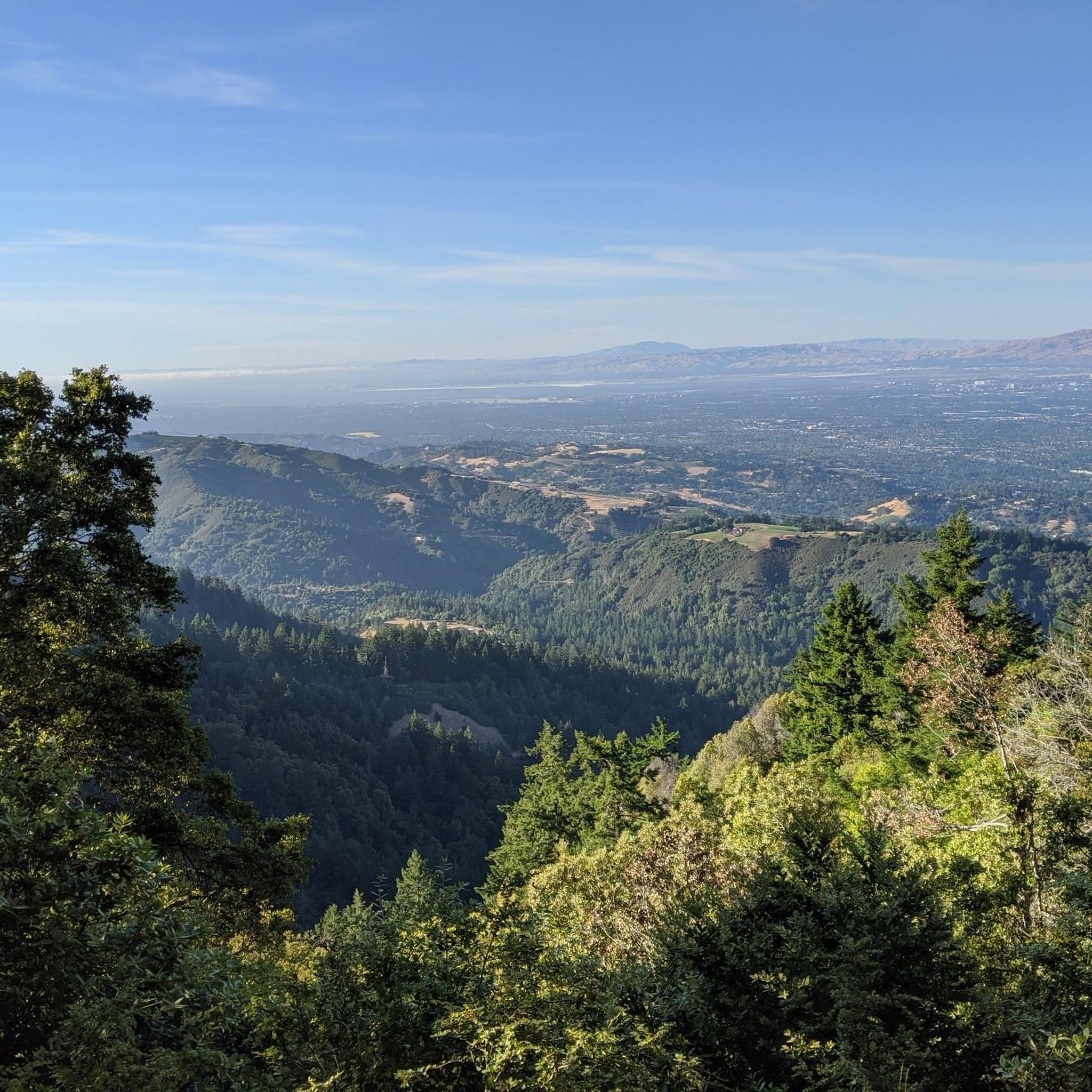
Running Trails in El Sereno Open Space Preserve (Closed Areas)
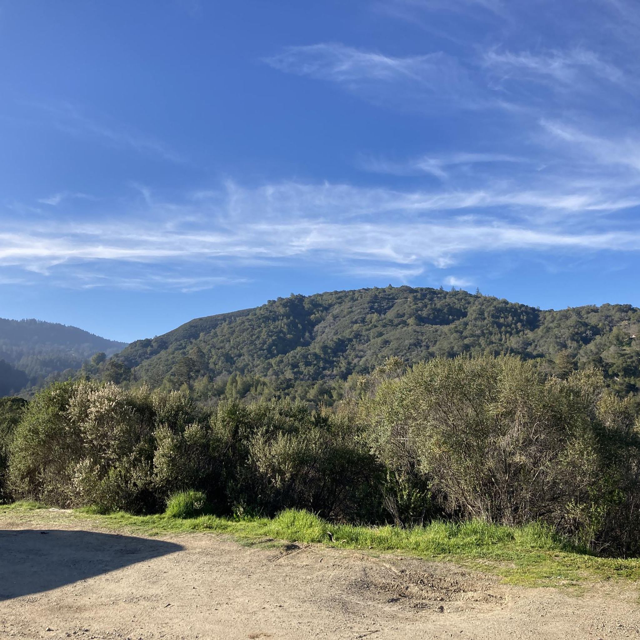
MTB Trails in El Sereno Open Space Preserve (Closed Areas)
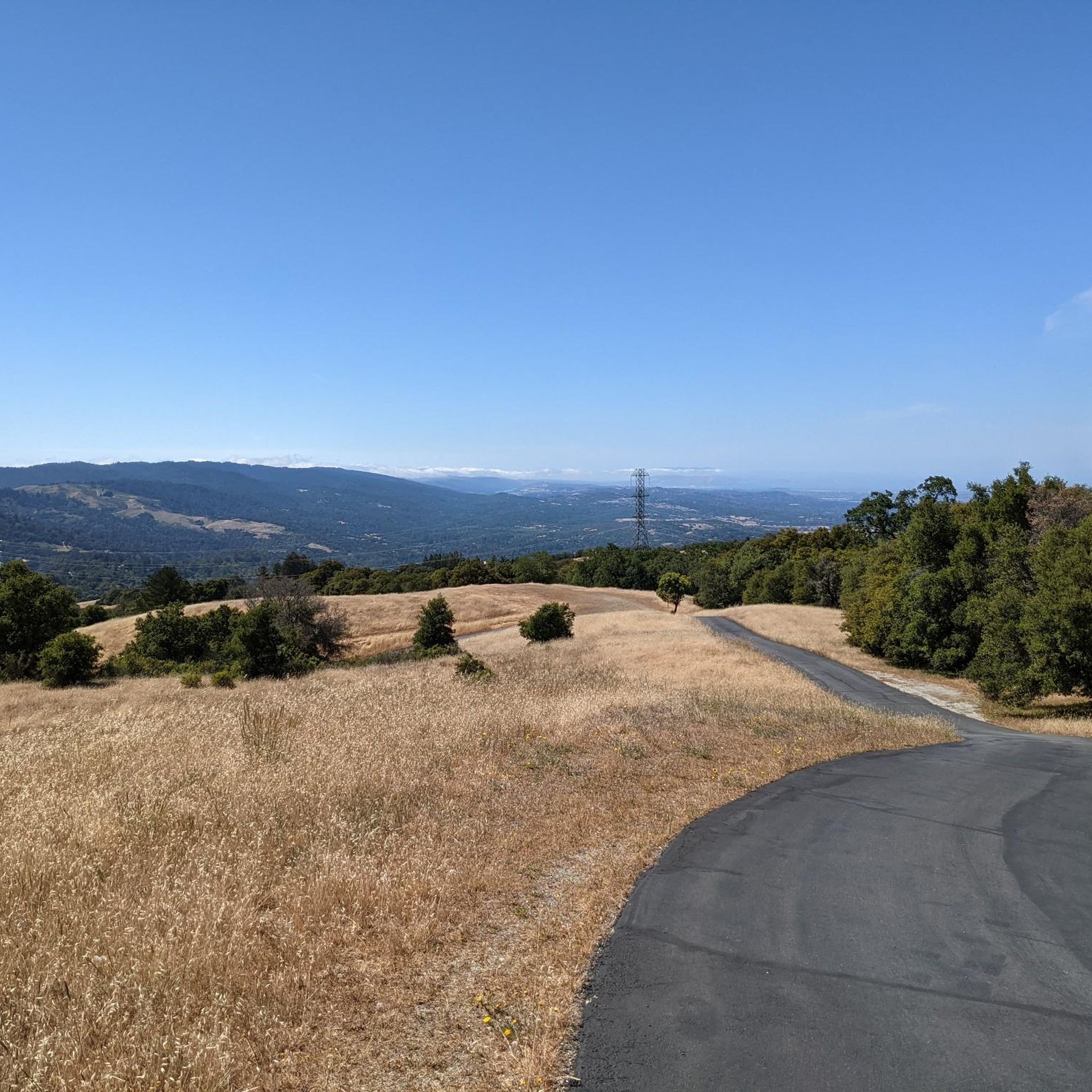
Road Cycling Routes in El Sereno Open Space Preserve (Closed Areas)
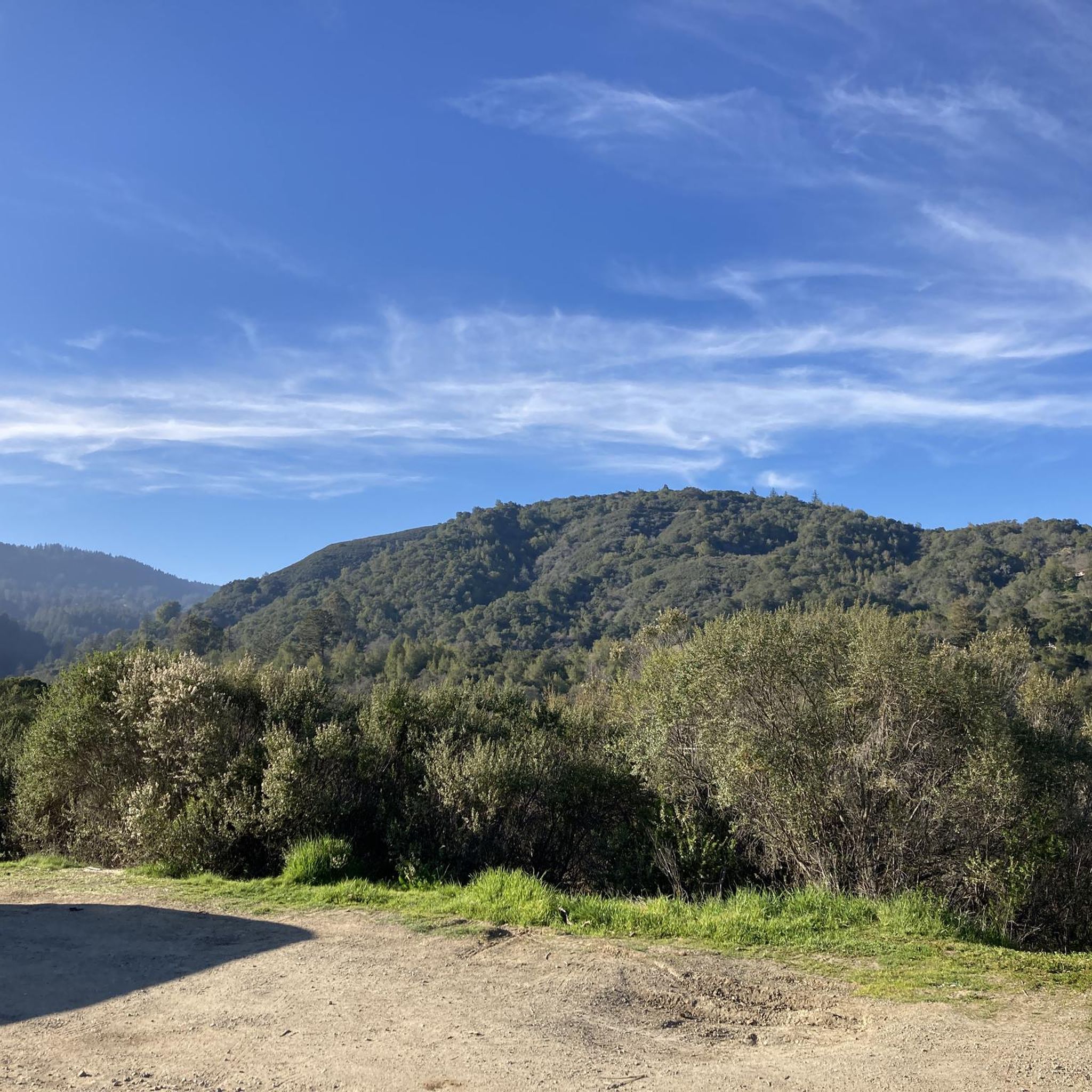
Cycling in El Sereno Open Space Preserve (Closed Areas)

Gravel biking in El Sereno Open Space Preserve (Closed Areas)
Tips from the Community

Three of the most popular area trails come together here; depending on how ambitious you are, you might return to this juncture several times as you crank through the forested hills.
1
0

From the top of the dam you get splendid views out across Lexington Reservoir. To the north you overlook the winding end of the Los Gatos Creek Trail, which connects to the Jones Trail across from the restroom just up the road. The dam itself was constructed in 1952 and stands at nearly 200 feet tall.
0
0

Ascending just a few hundred feet along Priestrock Trail toward Sierra Azul Open Space reveals expansive vistas overlooking the tranquil, turquoise-blue waters of Lexington Reservoir.
0
0

Serving as a scenic backdrop to the town of Los Gatos, St. Joseph's Hill is a 1,250-foot hill that looks down Los Gatos Creek valley and down over nearby Lexington Reservoir. It is also the summit of the Manzanita trail, which is a classic ride best done on a gravel bike.
0
0

Get an elevated view of the 338 acre man-made Lexington Reservoir
0
0

This is the third-largest reservoir in Santa Clara County. It sits at the foot of the Santa Cruz Mountains.
1
0

Ride a little (200m) past the intersection of Kennedy/PriestRock and you'll find a nice vantage point to your right: good for a rest and 360*-views.
2
0

Frequently Asked Questions
How many hiking trails are available in El Sereno Open Space Preserve?
El Sereno Open Space Preserve offers a wide network of trails, with over 60 hiking routes available. These trails cater to various fitness levels, from easy walks to more challenging ascents.
Are dogs allowed on the hiking trails in El Sereno Open Space Preserve?
Yes, dogs are welcome in El Sereno Open Space Preserve. They must be kept on a leash at all times while on the designated paths.
Are there easy hiking trails suitable for beginners or families?
Absolutely. The preserve has over 30 easy routes perfect for beginners or families. An example is the Saint Josephs Hill Summit — Saint Josephs Hill Open Space Preserve trail, which is 3.3 miles long and offers expansive views with a moderate elevation gain.
What kind of views can I expect while hiking in El Sereno Open Space Preserve?
El Sereno Open Space Preserve is renowned for its spectacular panoramic views. Hikers can enjoy sweeping vistas of Silicon Valley, the cities of Los Gatos, Lexington Reservoir, Sierra Azul Open Space Preserve, and the distant Diablo Range. On clear days, you might even spot the Pacific Ocean and the Monterey Peninsula.
Are there any circular routes in El Sereno Open Space Preserve?
Yes, there are several circular routes available. For instance, the Flume Trail loop from Los Gatos is a popular 3.9-mile loop that takes you through varied landscapes. Another option is the Priest Rock & Limekiln Trails loop — Lexington Reservoir County Park, a 5.5-mile moderate route with views of Lexington Reservoir.
What is the best time of year to hike in El Sereno Open Space Preserve?
The preserve can be enjoyed year-round. However, due to its predominantly exposed chaparral environment, spring and fall offer more moderate temperatures. During summer, it's advisable to start early, carry plenty of water, and use sun protection, as many trails have limited shade.
What kind of wildlife might I encounter in El Sereno Open Space Preserve?
The preserve's ecology supports various wildlife. You might spot mule deer, coyotes, gopher snakes, and brush rabbits. Keep an eye out for diverse bird species as well.
Are there challenging hikes for experienced hikers?
Yes, for those seeking a more strenuous workout, El Sereno Open Space Preserve offers several challenging routes with significant elevation gains, some reaching up to 3,000 feet. There are 6 difficult routes available, providing a good test of fitness and sure-footedness.
What do other hikers enjoy most about El Sereno Open Space Preserve?
The area is highly rated by the komoot community, with an average score of 4.6 stars from over 140 reviews. Reviewers often praise the spectacular panoramic views, the diverse chaparral landscapes, and the extensive trail network that caters to all skill levels.
Are there any specific trails that are part of the Bay Area Ridge Trail?
Yes, a dedicated 3.5 miles of trail within El Sereno Open Space Preserve are part of the Bay Area Ridge Trail. These sections offer significant elevation gain and rewarding views for hikers and cyclists.
Are there any reported trail closures in El Sereno Open Space Preserve?
As of current information, there are no reported trail closures within El Sereno Open Space Preserve, ensuring its trails are accessible for public enjoyment. However, it's always a good idea to check for any temporary closures due to weather or maintenance before your visit.
What are the typical trail conditions in El Sereno Open Space Preserve?
The preserve features seven miles of wide, multi-use trails. While some areas offer brief shaded stretches under California bay and oak forests, much of the terrain is exposed chaparral. Trails range from gradual slopes through open grassland to more challenging ascents.
Most popular routes in El Sereno Open Space Preserve (Closed Areas)

Get inspired with the komoot mobile app


Explore more
Browse the best Hikes in other regions.
